The best road cycling routes around Colsterdale
4.2
(44)
2,027
riders
111
rides
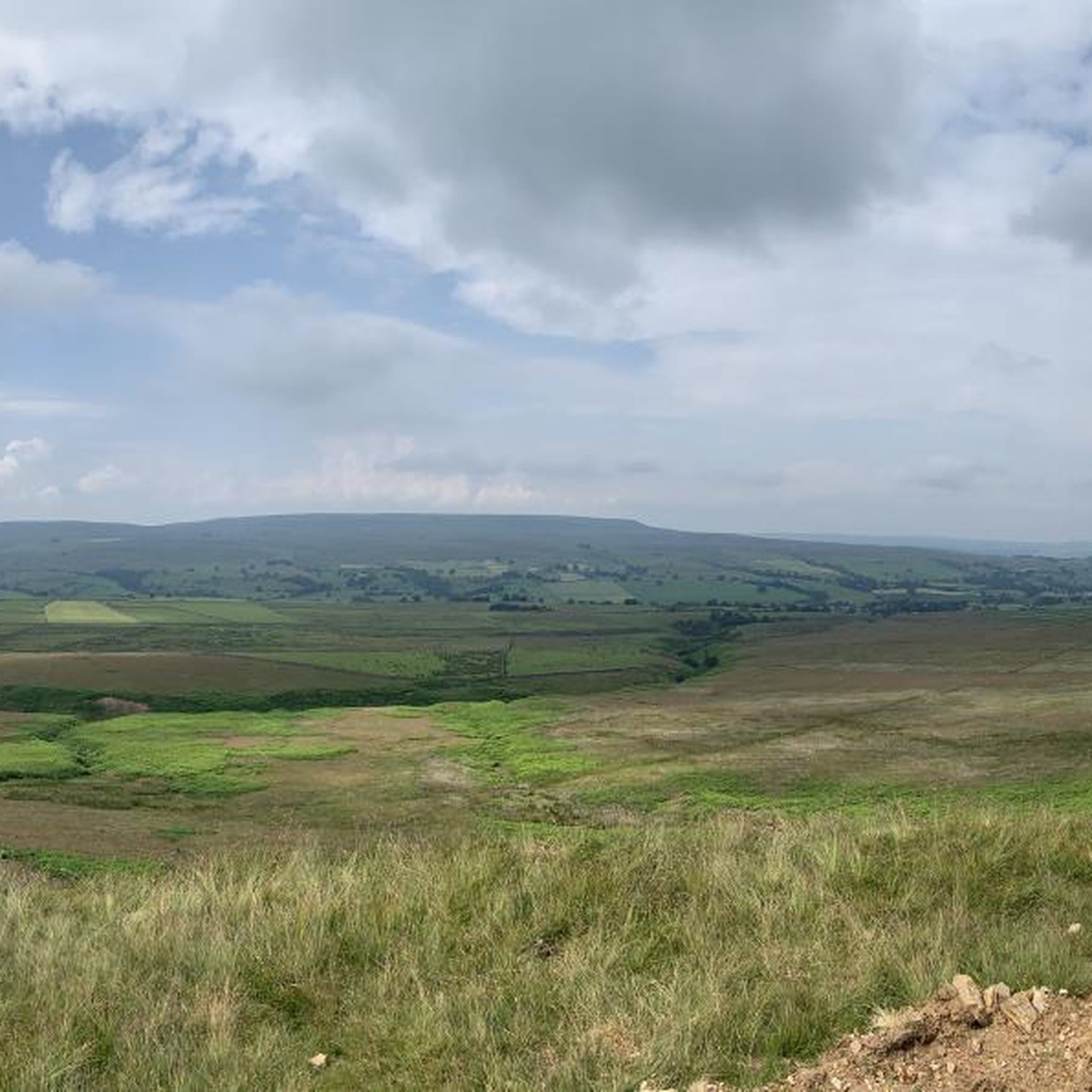
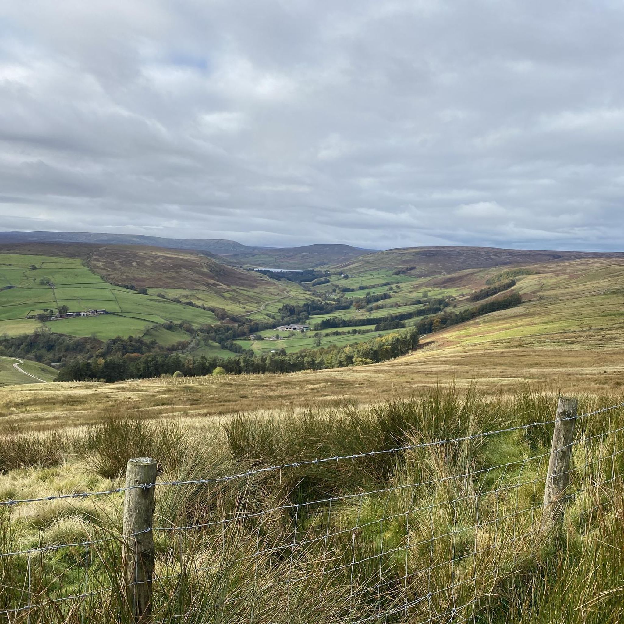
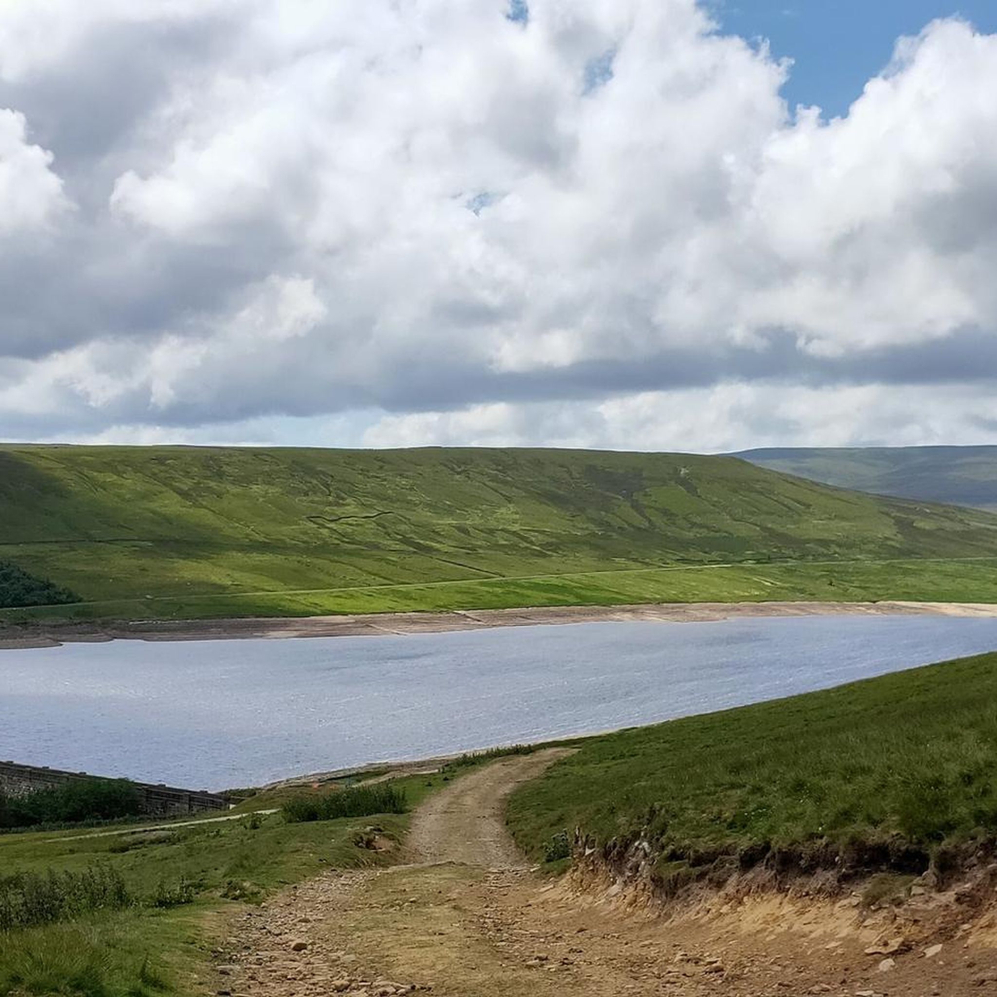
Road cycling around Colsterdale offers diverse terrain within the Nidderdale National Landscape. The area features rolling hills and extensive heather moorland, providing varied topography for cyclists. Routes often traverse gently rolling farmland along the River Nidd and pass by prominent water features such as reservoirs. Woodlands also contribute to the scenic environment, offering shaded sections along the way.
Best road cycling routes around Colsterdale
- The most popular road cycling route is Oxnop to Crow Trees Descent – Grinton Moor loop…
Last updated: May 25, 2026
5.0
(8)
325
riders
71.0km
03:28
1,050m
1,050m
Hard road ride. Very good fitness required. Mostly well-paved surfaces and easy to ride.
109
riders
59.3km
03:09
950m
950m
Hard road ride. Very good fitness required. Mostly well-paved surfaces and easy to ride.

Sign up for free
5.0
(2)
47
riders
52.5km
02:48
900m
900m
Hard road ride. Very good fitness required. Mostly well-paved surfaces and easy to ride.
43
riders
62.2km
03:14
1,030m
1,030m
Hard road ride. Very good fitness required. Mostly well-paved surfaces and easy to ride.
5.0
(1)
27
riders
32.3km
01:40
380m
380m
Moderate road ride. Good fitness required. Mostly well-paved surfaces and easy to ride.
Get access to more routes and recommendations from other explorers.
Sign up for free
Already have an account?
Our route recommendations are based on thousands of hikes, rides, and runs completed by other people on komoot.
Start today with a free account
Your next adventure awaits.
Login or Signup

Tips from the Community

Brutal. Go around the wrong side of the road and plead forgiveness to the motorists (good luck with that). Take care coming down. With lots of gravel on the road
0
0

One of the largest and most open village greens in the Yorkshire Dales, historically used for markets, fairs, and livestock trading — the social heart of Swaledale long before tourism arrived. The green’s broad, triangular shape reflects its medieval origins as a common grazing and gathering space. Plenty of parking around the village green, but having arrived at 7am in winter for a hike and finding them all full, I suspect other times of the year will be even more difficult to secure a space.
2
0
A classic stretch of high Pennine moorland, shaped by centuries of lead‑mining, with old hushes, spoil heaps, and trackways still etched into the heather. The moor forms part of the Reeth–Grinton–Harkerside upland block, giving wide, open views over Swaledale. Spectacular under a layer of snow in winter.
1
0

A wonderful village on the Coast to Coast Path. There are plenty of places to stay around the village green. The village youth play football on the lawn, including the very young ones. Very nice!
1
0


Gears 34 x 34 . Keep to outside of bend. Pace yourself
0
0

Fantastic loop from Hawes to Muker then Cross tops to Askridge then steady back to Hawes . The climbs are tough but an awesome ride
0
0

Masham Bridge crosses the River Ure just north of the small town on the A6108. It is an arch bridge and was opened in 1754 on The Avenue, Masham.
0
0
Frequently Asked Questions
How many road cycling routes are available in Colsterdale, and what are their difficulty levels?
Colsterdale offers over 100 road cycling routes. These routes cater to various skill levels, with approximately 28 easy, 66 moderate, and 16 difficult options available, ensuring a suitable ride for everyone.
What kind of scenery and natural features can I expect to see while road cycling in Colsterdale?
Road cycling in Colsterdale, part of the Nidderdale National Landscape, offers diverse scenery. You'll encounter rolling hills, extensive heather moorland, and gently rolling farmland along the River Nidd. Prominent water features like reservoirs and woodlands also contribute to the picturesque environment.
Are there challenging road cycling routes in Colsterdale for experienced cyclists?
Yes, Colsterdale features several challenging routes. For instance, the Oxnop to Crow Trees Descent – Grinton Moor loop from Middleham is a difficult 44.1-mile trail with significant elevation gain across open moorland, perfect for experienced riders seeking a vigorous ride.
Are there any routes that pass by notable water features or waterfalls?
Yes, the region is rich in water features. Routes often traverse areas near reservoirs like Scar House Reservoir. You can also find nearby waterfalls such as Hackfall Wood and Harmby Waterfall, which are popular highlights in the broader area.
What historical sites or curiosities can I explore along the road cycling routes?
The rolling hills of Colsterdale and Mashamshire are dotted with historical curiosities and follies, including a recreation of a mystical henge and a stone tower atop the moorland. The wider Nidderdale National Landscape also has a rich industrial past, with evidence of mining and old railway lines woven into the hills and valleys, adding an intriguing layer to your ride.
Can I find charming villages or places to stop for refreshments along the road cycling routes?
Yes, quaint villages are scattered across the landscape, providing excellent opportunities for cyclists to pause, explore, and experience local culture. While specific cafes aren't listed, these villages often offer places for refreshments.
What do other road cyclists enjoy the most about road cycling in Colsterdale?
The area is highly rated by the komoot community, with an average score of 4.2 stars from over 44 reviews. Cyclists often praise the varied terrain, from challenging climbs to scenic river valleys, and the extensive heather moorland that provides a dramatic backdrop for rides.
Are there any moderate-difficulty routes that offer a good balance of challenge and scenery?
Absolutely. A popular moderate route is the Masham Bridge – Masham Market Square loop from Middleham. This 20.1-mile trail offers a balanced ride through scenic areas, making it a great option for those looking for a less strenuous but still engaging experience.
What are some of the longer road cycling routes available in the area?
For longer rides, consider the Kidstones Pass – Kettlewell Village loop from Middleham, a difficult 36.8-mile path that navigates varied topography, including challenging climbs and descents through picturesque landscapes. Another option is the Reeth Village Green – Oxnop to Crow Trees Descent loop from Middleham, which spans 38.7 miles.
Are there any specific attractions near Colsterdale that are worth visiting after a ride?
As part of the Nidderdale National Landscape, Colsterdale is close to attractions such as The Forbidden Corner, Middleham Castle, and The Himalayan Garden & Sculpture Park, which features the Himalayan Garden and Sculpture Park. The UNESCO World Heritage Site of Fountains Abbey and Studley Royal Water Garden is also within the broader Nidderdale area.
What is the general topography like for road cycling in Colsterdale?
The topography around Colsterdale is quite varied, transitioning from rolling hills and rocky gradients to gently rolling farmland along the River Nidd. This diversity provides a range of cycling experiences, from challenging climbs to more leisurely sections, all set against a backdrop of extensive heather moorland.
Are there any circular road cycling routes in Colsterdale?
Yes, many of the road cycling routes in Colsterdale are designed as loops, allowing you to start and finish in the same location. An example is the Whipperdale Bank – Grinton Moor loop from Middleham, a 32.6-mile trail through rolling hills and moorland.
Most popular attractions around Colsterdale

Get inspired with the komoot mobile app


Explore more
Browse the best Road cycling routes in other regions.
