Bilton-In-Ainsty With Bickerton
Bilton-In-Ainsty With Bickerton
The best walks and hikes around Bilton-In-Ainsty With Bickerton
4.4
(504)
4,353
hikers
199
hikes
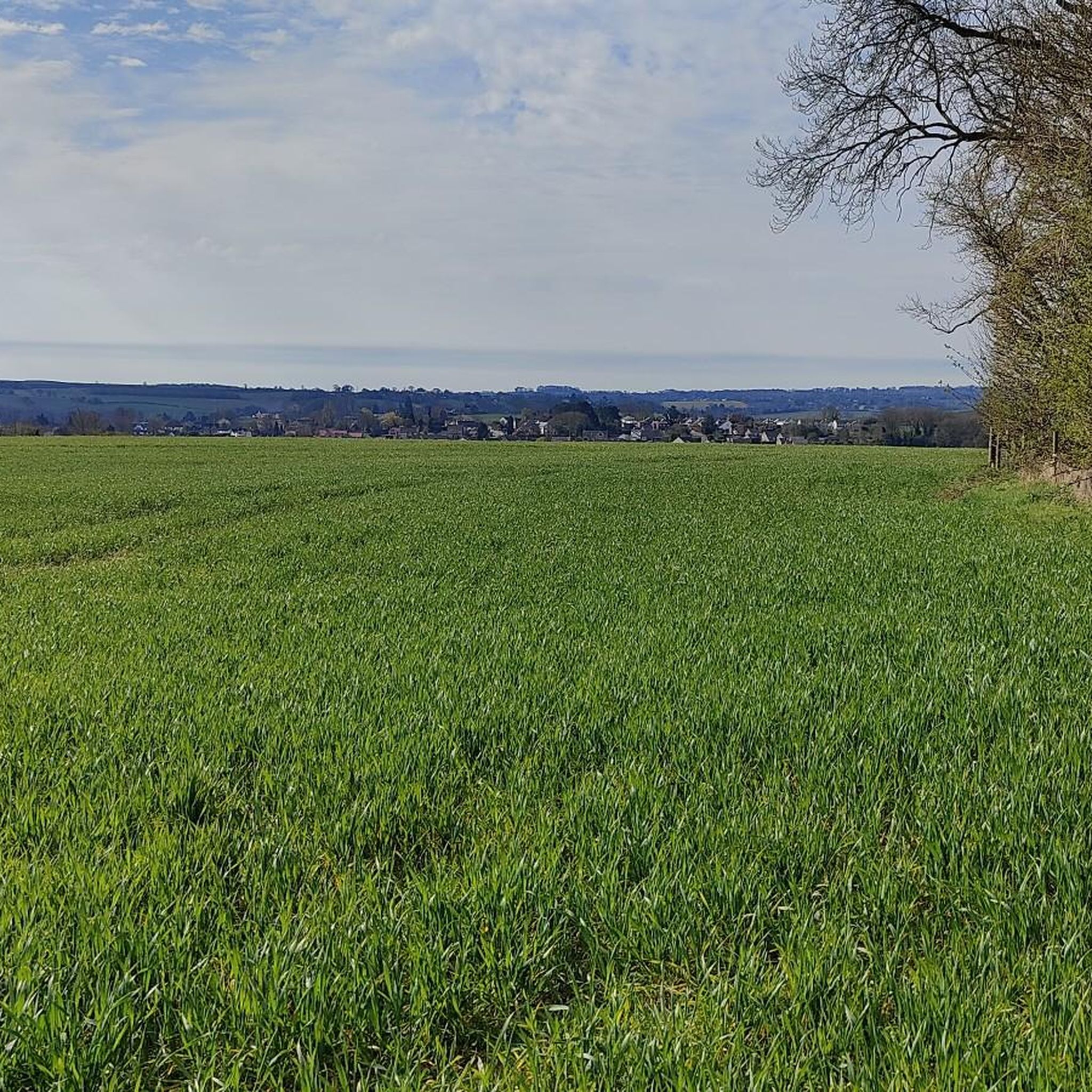
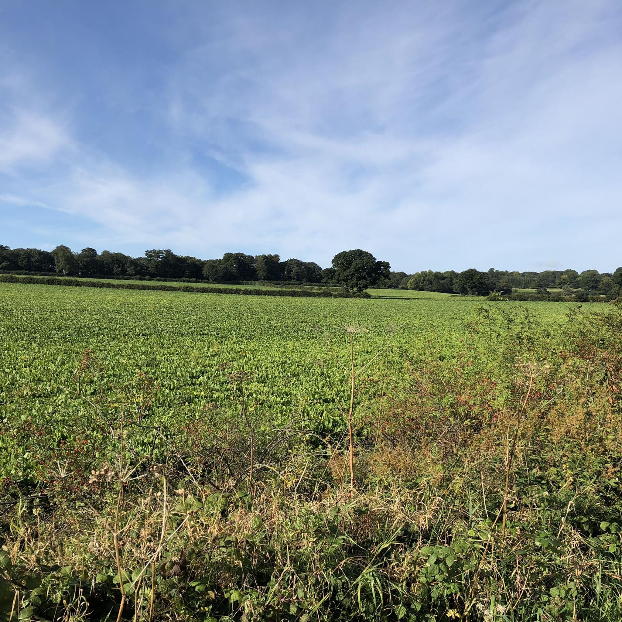
Hiking around Bilton-In-Ainsty With Bickerton offers access to a network of public footpaths through agricultural landscapes and countryside views. The area is characterized by expansive farmland, providing a tranquil setting for walks. Trails often connect villages and incorporate historical features, such as those found within the Bilton Hall Estate. The terrain generally consists of gentle gradients across fields and along established paths.
Best hiking trails around Bilton-In-Ainsty With Bickerton
- The most popular hiking route is Hiking loop from Tockwith, a 4.7 miles (7.6 km) trail that takes 1 hour 55 minutes to complete, offering a pleasant loop through the local countryside.
- Another top favourite among local hikers is Healaugh Priory – Footpath Near Woodhouse Farm loop from Healaugh, a moderate 7.1 miles (11.4 km) path that explores historical sites and rural scenery.
- Local hikers also love the Marston Moor Battle Monument loop from Long Marston, a 5.2 miles (8.4 km) trail leading through historical landscapes, often completed in about 2 hours 9 minutes.
- Hiking around Bilton-In-Ainsty With Bickerton is defined by expansive farmland, well-maintained public footpaths, and historical sites. The network offers options for various ability levels, from easy strolls to moderate walks.
- The routes in Bilton-In-Ainsty With Bickerton are highly rated by the komoot community with an average score of 4.4 stars from over 390 reviews. More than 3800 hikers have used komoot to explore Bilton-In-Ainsty With Bickerton's varied terrain.
Last updated: September 28, 2026
4.4
(9)
73
hikers
7.60km
01:56
10m
10m
Easy hike. Great for any fitness level. Easily-accessible paths. Suitable for all skill levels.
15
hikers
3.68km
00:57
10m
10m
Easy hike. Great for any fitness level. Easily-accessible paths. Suitable for all skill levels.

5.0
(2)
3
hikers
11.4km
02:54
30m
30m
Moderate hike. Good fitness required. Easily-accessible paths. Suitable for all skill levels.
2.0
(1)
3
hikers
8.41km
02:10
40m
40m
Moderate hike. Good fitness required. Easily-accessible paths. Suitable for all skill levels.
4.0
(3)
5
hikers
4.89km
01:15
20m
20m
Easy hike. Great for any fitness level. Easily-accessible paths. Suitable for all skill levels.
Get access to more routes and recommendations from other explorers.
Already have an account?
Our route recommendations are based on thousands of hikes, rides, and runs completed by other people on komoot.
Start today with a free account
Your next adventure awaits.
Popular around Bilton-In-Ainsty With Bickerton
Tips from the Community

Beware of the tree roots that have lifted the path along the route
0
0

The construction of the church is thought to have taken place around 1150, and remnants of the Norman-era structure remain both within its walls and on its exterior. The chancel and the south door stand as the most ancient segments that persist, originating from the earliest times. Subsequently, the north aisle and the priest's door emerged during the final quarter of the 12th century, marking the next stages of architectural evolution. The trio of church bells, crafted by George Dalton in the year 1786. While these bells frequently ring out, their full peal cannot be executed due to a crack within the tower. This precautionary measure is in place to prevent exacerbating the crack's condition through excessive vibrations.
2
0

Interesting historical location, but it's not possible to go onto the battlefield
0
0

The Battle of Marsden Moor was fought on 2nd July 1644, the largest in the English Civil War and possibly the largest ever in England. It was a decisive point as the Royalists were defeated meaning they had lost control of the North of England. There are a number of interp boards at the memorial which give further information.
1
0

With Covid-19 restrictions, church is currently shut, but normally open. Lovely carvings by its main door, and a great view of local area
0
1

Obelisk and info sign highlighting key Civil War battle
0
0
It's decent length of track, about 3 miles. Gets you right into centre of Tadcaster traffic free (barring the odd tractor and/or horse).
0
0

A quiet quiet place and a beautiful church
0
1
Frequently Asked Questions
How many hiking trails are available in Bilton-In-Ainsty With Bickerton?
There are over 200 hiking routes around Bilton-In-Ainsty With Bickerton, offering a wide variety of options for exploring the local countryside. These include 110 easy routes, 92 moderate routes, and 8 more challenging trails.
What kind of terrain and difficulty can I expect on hikes here?
The terrain in Bilton-In-Ainsty With Bickerton is generally characterized by expansive farmland and well-maintained public footpaths. Most routes feature gentle gradients across fields and along established paths, making them suitable for various fitness levels. You'll find a good mix of easy and moderate walks, with a few more difficult options for those seeking a challenge.
Are there many circular walking routes in the area?
Yes, many of the hiking routes in Bilton-In-Ainsty With Bickerton are circular, allowing you to start and finish at the same point. These loops often traverse agricultural fields and connect local villages, providing a convenient way to explore the area. An example is the Hiking loop from Thorp Arch, which offers a pleasant, easy circular walk.
Are the hiking trails suitable for families with children?
Many trails in Bilton-In-Ainsty With Bickerton are suitable for families, especially the numerous easy routes that feature gentle terrain and well-defined paths through farmland. These provide a safe and enjoyable environment for children to explore the outdoors. Consider routes that pass through villages for amenities or near historical sites for added interest.
Can I bring my dog on the trails?
Yes, many public footpaths in Bilton-In-Ainsty With Bickerton are dog-friendly. However, as routes often pass through agricultural land with livestock, it's essential to keep dogs under close control, preferably on a lead, and to follow the Countryside Code. Always clean up after your dog to help keep the paths enjoyable for everyone.
What historical sites or natural features can I see while hiking?
The area is rich in both historical and natural features. You can explore ancient paths like the Roman road Rudgate, or visit historical landmarks such as St. Helen's Church in Bilton-in-Ainsty, a Grade I listed Norman-style building. The Marston Moor Battle Monument loop from Long Marston takes you through historical landscapes. For natural beauty, the Bilton Hall Estate offers landscaped grounds and mature woodlands, and nearby attractions include Spofforth Castle Ruins and Pompocali and Hetchell Wood.
What do other hikers enjoy the most about hiking in Bilton-In-Ainsty With Bickerton?
The area is highly rated by the komoot community, with an average score of 4.4 stars from over 390 reviews. Reviewers often praise the tranquil agricultural landscapes, the network of easily accessible public footpaths, and the blend of natural beauty with historical sites. Hikers appreciate the serene environment and the variety of routes available.
Are there any pubs or cafes along the hiking routes?
While the immediate parish is rural, the villages of Bilton-in-Ainsty and Bickerton offer a glimpse into rural English life. Many routes connect to nearby villages where you can find local amenities. For example, the All Hallows Church and The Bingley Arms, Bardsey is a notable pub in a nearby location that could be incorporated into a longer walk or visited after a hike.
Is there public transport available to reach the hiking areas?
Information on specific public transport routes directly to Bilton-In-Ainsty With Bickerton for hiking access can be limited due to its rural nature. It's generally recommended to check local bus services for connections from larger towns like Wetherby or York. Planning your route in advance with public transport schedules is advisable.
Where can I find parking for hiking trails?
Parking for walkers is typically available in or near the villages of Bilton-in-Ainsty and Bickerton, or at designated public access points for footpaths. When parking, please be considerate of local residents and ensure you do not obstruct access or private property. Some routes may start from nearby towns or villages that offer more formal parking facilities.
What is the best time of year to go hiking in Bilton-In-Ainsty With Bickerton?
The best time to hike in Bilton-In-Ainsty With Bickerton is generally during the spring, summer, and early autumn months (April to October). During these periods, the weather is milder, the days are longer, and the agricultural landscapes are at their most vibrant. Winter walks are also possible, but paths may be muddy, and daylight hours are shorter.
Are there any long-distance paths or trails that pass through the area?
While Bilton-In-Ainsty With Bickerton is known for its local network of public footpaths, the ancient Roman road, Rudgate, crosses through the area. This historical path can be incorporated into longer walks, offering a unique historical dimension to your hike. The network of paths also allows for creating longer, custom routes by linking several shorter sections.
Most popular routes around Bilton-In-Ainsty With Bickerton
Most popular attractions around Bilton-In-Ainsty With Bickerton

Get inspired with the komoot mobile app


Explore more
Browse the best Hikes in other regions.
