The best walks and hikes around Baldersby
4.6
(178)
1,695
hikers
100
hikes
Hiking around Baldersby explores the Vale of Mowbray, a region characterized by river valleys and gentle flood plains situated between the Pennines and the North York Moors. The landscape features a mix of riverside paths, open fields, and rolling countryside. Trails primarily follow well-established footpaths along the banks of the Rivers Swale and Ure, as well as through woodlands. The area offers diverse terrain for outdoor enthusiasts.
Best hiking trails around Baldersby
- The most popular hiking route is Fountains Abbey – Studley Royal Water Garden loop from Ripon, a 9.2 miles (14.8 km) trail that takes about 3 hours 55 minutes to complete. This route combines historic ruins with the formal landscapes of the Studley Royal Deer Park.
- Another top favourite among local hikers is South Kilvington & Sowerby loop from Thirsk, a moderate 6.1 miles (9.9 km) path. The trail follows generally flat terrain through open fields and quiet country lanes.
- Local hikers also love the Ripon Cathedral – Ripon Canal Basin loop from Ripon, a 5.9 miles (9.5 km) trail leading through historic Ripon and along the canal, often completed in about 2 hours 24 minutes.
- Hiking around Baldersby is defined by gentle riverside strolls, paths through historic parklands, and walks connecting small villages. The network of public footpaths provides options suitable for various fitness levels, from short, easy loops to longer, moderate hikes.
- The routes in Baldersby are highly rated by the komoot community with an average score of 4.6 stars from over 140 reviews. More than 1,500 hikers have used komoot to explore Baldersby's varied terrain.
Last updated: October 11, 2026
4.8
(4)
14
hikers
9.85km
02:31
30m
30m
Embark on the South Kilvington & Sowerby loop from Thirsk, a moderate hike spanning 6.1 miles (9.9 km) with a gentle elevation gain of 101 feet (31 metres), typically completed in 2 hours and 30 minutes. This route guides you through tranquil riverside paths along Cod Beck, open farmland, and past rural village scenery, offering a varied North Yorkshire landscape. You will encounter mostly accessible paths, though some sections can be muddy and undulating, especially after rain, and you might spot historical elements like St Wilfrid's Church in South Kilvington.
When planning your hike, be aware that some parts of the path might be overgrown with nettles, so long trousers are advisable over shorts. You may also pass through fields with livestock, including cattle, so be mindful of your surroundings. Occasionally, a bridge marked on maps might be missing, which could require a short detour to the main road. This route is generally considered a moderate challenge, requiring good fitness for an enjoyable experience.
This loop is the most popular hiking route around South Kilvington, highly rated by the Komoot community for its blend of natural beauty and local history. The trail connects the villages of South Kilvington and Sowerby with the town of Thirsk, offering glimpses into the area's past, such as medieval ridge and furrow farming in the Sowerby Flats area. Keep an eye out for wildlife along Cod Beck, where kingfishers are often seen, adding to the charm of this North Yorkshire adventure.
4.9
(8)
79
hikers
10.7km
02:43
30m
30m
Moderate hike. Good fitness required. Easily-accessible paths. Suitable for all skill levels.

4.7
(10)
62
hikers
8.61km
02:12
30m
30m
Moderate hike. Good fitness required. Easily-accessible paths. Suitable for all skill levels.
4.6
(7)
61
hikers
3.79km
00:58
10m
10m
Easy hike. Great for any fitness level. Easily-accessible paths. Suitable for all skill levels.
4.7
(9)
56
hikers
8.98km
02:18
40m
30m
Moderate hike. Good fitness required. Easily-accessible paths. Suitable for all skill levels.
Get access to more routes and recommendations from other explorers.
Already have an account?
Our route recommendations are based on thousands of hikes, rides, and runs completed by other people on komoot.
Start today with a free account
Your next adventure awaits.
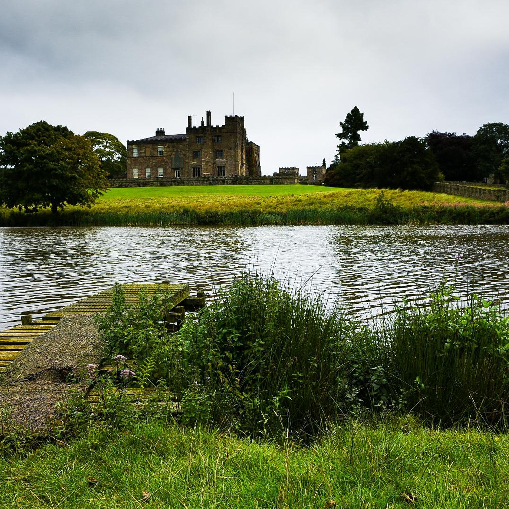
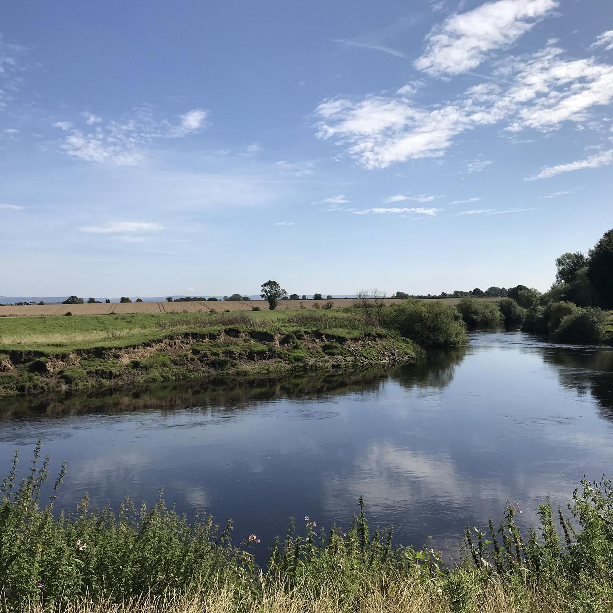

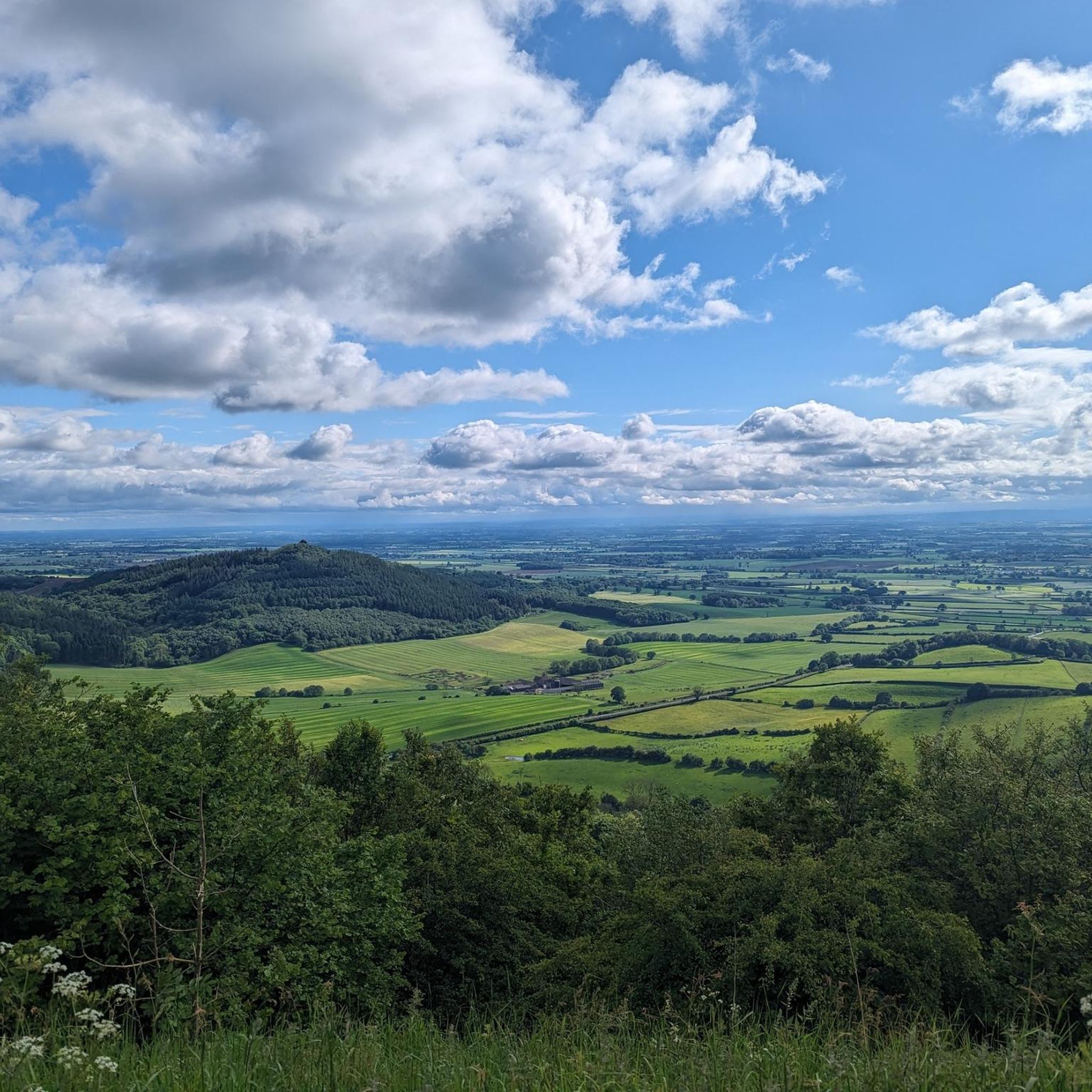
Tips from the Community

In the search for a worthy patronage for this church, the initial choice was the Archangel Michael, whose name (from the Hebrew language) means "Who is like God?" However, it was then decided that it could not hurt to significantly increase the number of intercessors at God's throne for this church and its parishioners. Thus, the idea arose not to choose just one patron saint, but to expand the patronage to include the entire heavenly host (i.e., "All Angels").
0
0

St Michael and All Angels' Church, Littlethorpe is a Grade II listed parish church in the Church of England in Littlethorpe, North Yorkshire England.
1
0
Kirkgate is a narrow, winding street that has always been of great importance in the life and history of Ripon as it is the main thoroughfare between the Market Place and the Cathedral
1
0


Pub, restaurant and accommodation with car parking space for campervans. The Old Oak serves locally sourced food and drinks with an extensive menu. Food is served Mon to Sat from 11:30 - 14:00 & 17:00 - 21:00. On Sunday food is served from 11:30 - 20:30.
0
0
An award-winning museum dedicated to the life, books and TV series of Alf Wright - the Yorkshire vet better known as James Herriot. It is the original 1940's home and practice better known as Skeldale House, although the film location is in Askrigg.
1
0

This is a great spot to stop and see how many different species of bird you can see in the nature reserve.
1
0
Frequently Asked Questions
What is the terrain like for hiking around Baldersby?
The hiking terrain around Baldersby is generally gentle and varied. Most routes follow well-established footpaths across the rolling flood plains of the Vale of Mowbray. You can expect a mix of riverside paths along the Swale and Ure, trails through open fields, and quiet country lanes connecting local villages.
Are there many circular walks available?
Yes, circular walks are very common in this area. Many routes are designed as loops that start and end in the same place, often a village or a car park. A good example is the South Kilvington & Sowerby loop from Thirsk, which takes you through fields and quiet lanes.
Can I bring my dog on hikes near Baldersby?
Many trails in the countryside around Baldersby are suitable for dogs, but always be mindful of local signage, especially when crossing farmland with livestock. Keep your dog on a lead where required. The open paths and woodlands offer great spaces for a walk with your four-legged friend.
Are there any easy, family-friendly hikes?
Absolutely. The region has numerous easy walks perfect for a family outing. These trails are typically shorter and have minimal elevation gain. For a straightforward and scenic option, consider the Ripon Cathedral – Weeping Willow at The Ford loop, which is a short walk of about 4 km.
What historic sites can I see on a walk?
The area is rich with history. Several walks incorporate famous landmarks. You can explore the magnificent ruins of Fountains Abbey and the elegant Studley Royal Water Garden on a popular walk from Ripon. Another option is the Ripon Cathedral – Ripon Canal Basin loop from Sharow, which combines the impressive cathedral with the scenic canal.
How many hiking trails are there around Baldersby?
There are over 100 hiking routes to explore around Baldersby. The selection ranges from 67 easy walks perfect for a casual afternoon to 39 moderate trails for those seeking a bit more of a challenge.
What do other hikers think of the routes in this area?
The trails around Baldersby are highly regarded by the komoot community, with an average rating of 4.6 out of 5 stars. Hikers often praise the beautiful scenery, the mix of riverside and countryside paths, and the abundance of historical points of interest.
Are there any good places to stop for a pub lunch on a walk?
Yes, many villages in the area have traditional pubs that are popular with walkers. Planning a route that passes through towns like Ripon or Thirsk will give you several options for a meal or a drink. Some countryside pubs are also located directly on or near public footpaths.
Where can I find good views or scenic spots?
For lovely views over the Vale of York, the trails within Garbutt Wood Nature Reserve along the Cleveland Way are a great choice. For a broader, rolling landscape, the Howardian Hills National Landscape offers a wonderful area to explore, with its mix of forests and picturesque villages.
Is it possible to get to trailheads using public transport?
Yes, larger towns like Ripon and Thirsk have bus and train services, making them excellent starting points for many hikes. From there, you can access a network of footpaths that lead into the surrounding countryside, such as the Kirkgate, Ripon – Ripon Canal Basin loop from Ripon.
Where can I find free parking for a walk?
Many villages and towns in the area offer free on-street parking or small public car parks, but be sure to check for any local restrictions. Popular attractions like Fountains Abbey have dedicated car parks, though a fee may apply. Starting your walk from a smaller village can often be the best way to find free parking.
Are there any long-distance walking options from Baldersby?
While Baldersby itself is ideal for day hikes, it is situated between two major long-distance paths. To the east, you can connect with sections of the Cleveland Way in the North York Moors, and to the west, you can access parts of the famous Pennine Way for more challenging, multi-day treks.
Most popular attractions around Baldersby

Get inspired with the komoot mobile app


Explore more
Browse the best Hikes in other regions.
