Allerton Mauleverer With Hopperton
Allerton Mauleverer With Hopperton
The best road cycling routes around Allerton Mauleverer With Hopperton
4.6
(139)
5,295
riders
261
rides
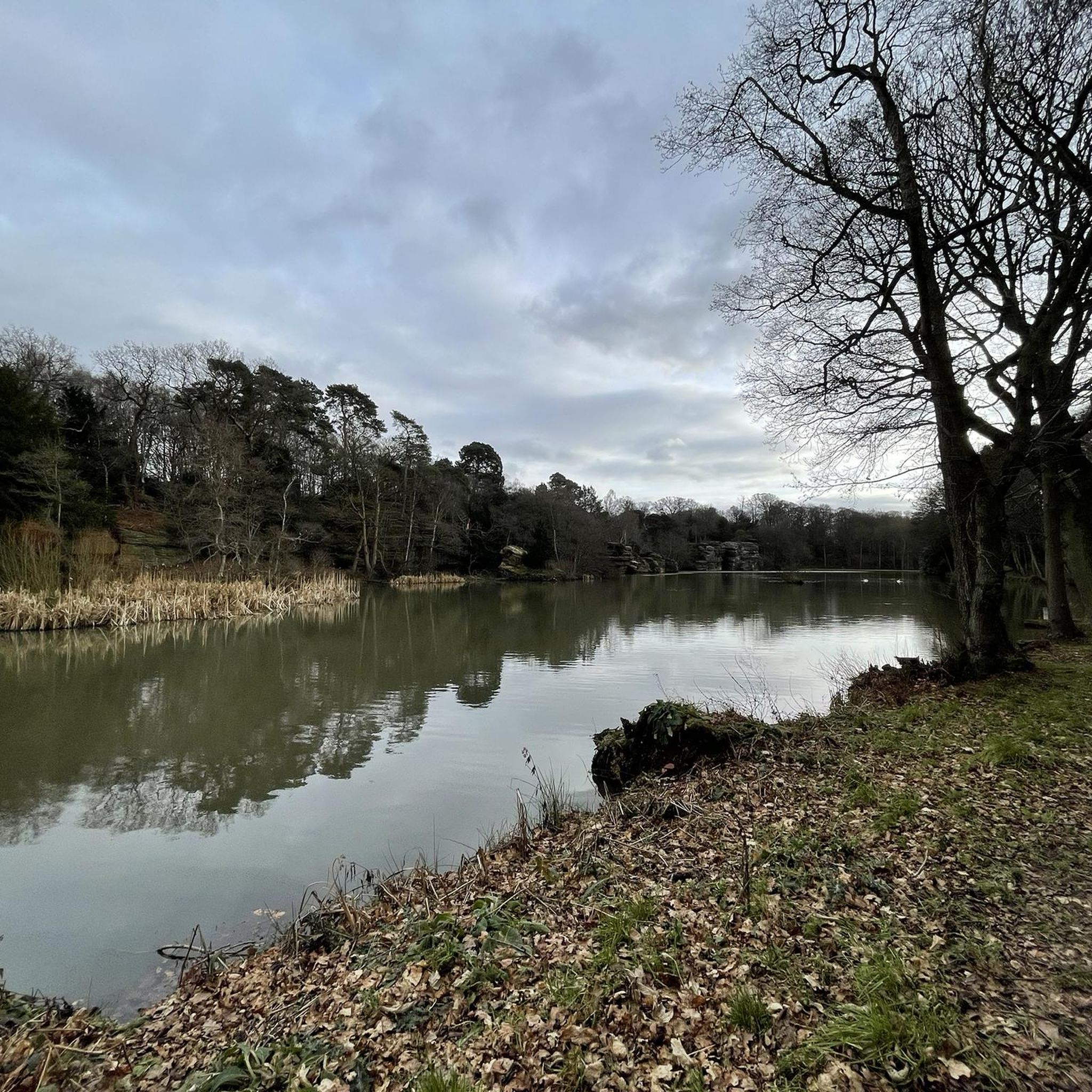
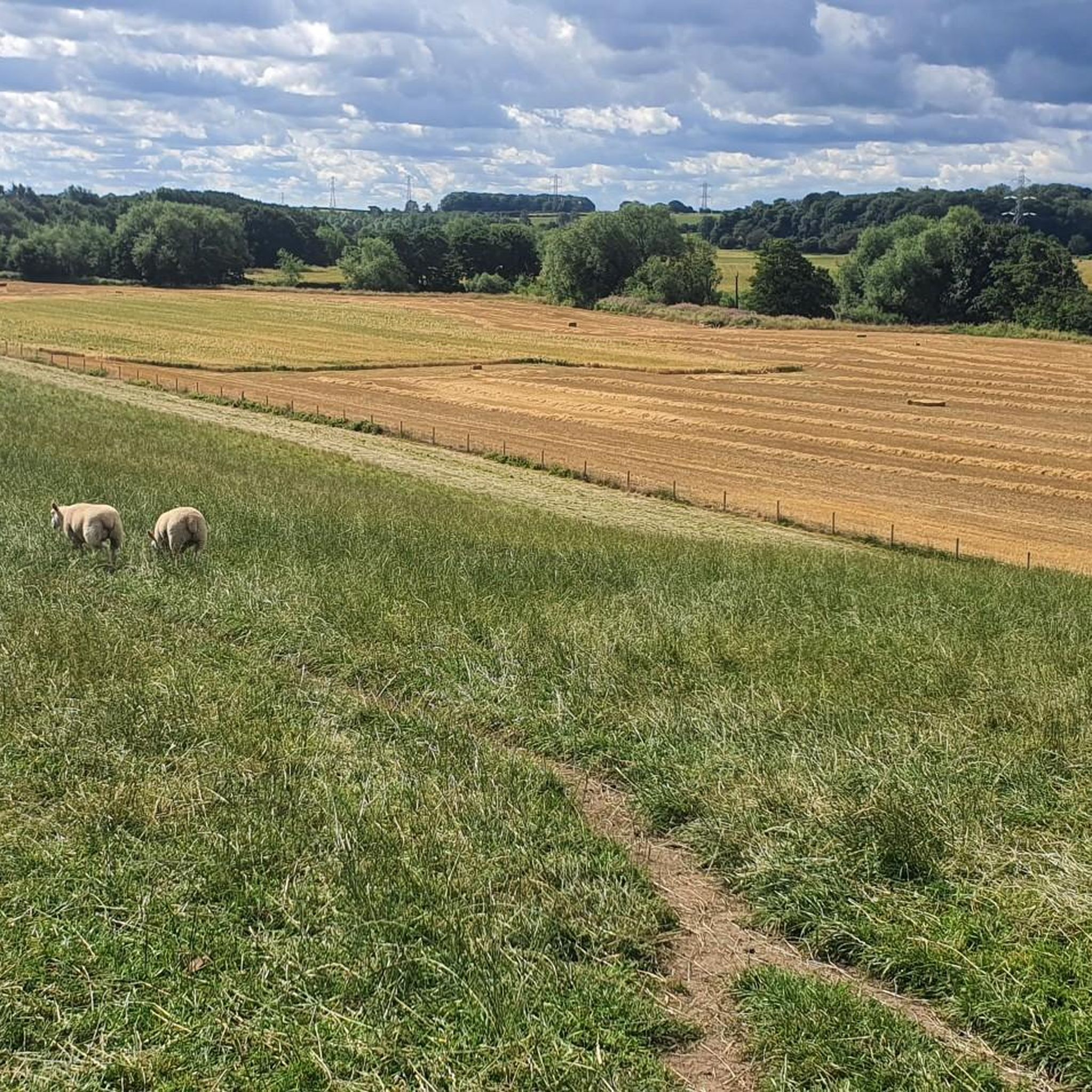
Road cycling around Allerton Mauleverer With Hopperton offers diverse landscapes characterized by open countryside, rolling hills, and forested sections. The region features a network of mostly paved routes, providing a smooth cycling experience. Cyclists can navigate journeys through varied terrain, including riverside paths and areas with expansive vistas. The topography includes gentle inclines and some more challenging ascents, catering to different skill levels.
Best road cycling routes around Allerton Mauleverer With Hopperton
- The most popular road cycling route is Aldwark…
Last updated: July 6, 2026
5.0
(3)
46
riders
71.8km
02:56
400m
400m
Moderate road ride. Good fitness required. Mostly well-paved surfaces and easy to ride.
51
riders
Easy road ride. Great for any fitness level. Mostly well-paved surfaces and easy to ride.

Sign up for free
38
riders
114km
05:34
1,010m
1,010m
Hard road ride. Very good fitness required. Some segments of this route may be unpaved and difficult to ride.
5.0
(17)
27
riders
25.7km
01:00
70m
70m
Easy road ride. Great for any fitness level. Mostly well-paved surfaces and easy to ride.
22
riders
118km
05:44
1,640m
1,640m
Hard road ride. Very good fitness required. Mostly well-paved surfaces and easy to ride.
Get access to more routes and recommendations from other explorers.
Sign up for free
Already have an account?
Our route recommendations are based on thousands of hikes, rides, and runs completed by other people on komoot.
Start today with a free account
Your next adventure awaits.
Login or Signup
Tips from the Community

Man, it's raining cats and dogs out here! Why isn't there a roof on this place!
0
0


The Devil's Arrows are three aligned standing stones. The standing stone alignment consists of some of the tallest standing stones in the United Kingdom. Erected during the Stone Age and distinctively grooved by millennia of rainfall, the tallest southernmost stone is 22.5 feet (6.85 m) in height, making this the second tallest menhir in the United Kingdom.
0
0


Enjoy beautiful cycling on a smooth, well-paved road that winds through the peaceful Stainburn Moor.
1
0

The square is in the very centre of Ripon and is mainly used as a short stay car park. The car park is closed on Thursdays to make way for Ripon’s market.
0
0
Ripon has a stunning gothic cathedral as its centrepiece. It was Founded in the 7th century, the town centre has a mix of architecture dating back to the medieval period, including its Georgian town hall and the Market Place, which has been there since the 12th century.
0
0

The plaque reads: This stone is one of several erected during the plague of the 17th century. Here the country people brought their market produce to avoid taking it into plague infected town. Money was left in the trough of disinfected water.
0
0
Frequently Asked Questions
How many road cycling routes are available around Allerton Mauleverer With Hopperton?
There are over 270 road cycling routes in the Allerton Mauleverer With Hopperton area, offering a wide range of options for different skill levels and preferences. You'll find everything from easy loops to more challenging excursions.
What kind of terrain can I expect on road cycling routes in this region?
The region offers diverse landscapes for road cycling, characterized by open countryside, rolling hills, and forested sections. Routes feature mostly paved surfaces, ensuring a smooth cycling experience. You'll encounter varied terrain, including riverside paths and areas with expansive vistas, with options ranging from gentle inclines to more challenging ascents.
Are there any easy road cycling routes for beginners or those seeking a relaxed ride?
Yes, there are nearly 100 easy road cycling routes in the area. A great option for a relaxed ride is the Boroughbridge High Street – Quiet Country Lane loop from Cattal, which covers about 34.8 km with gentle elevation changes.
What are some notable landmarks or viewpoints I might see while cycling?
Road cycling routes in the area offer views of various landmarks and natural features. You might pass by the impressive Aldwark Bridge, or catch glimpses of the Knaresborough Viaduct over Nidd Gorge on some loops. The region also features historic sites like Allerton Castle and St Martin's Church, adding to the scenic beauty.
Are there any challenging road cycling routes for experienced cyclists?
Absolutely. For experienced cyclists looking for a challenge, there are nearly 30 difficult routes. The Aldwark Bridge – Almscliffe Crag loop from Cattal is a demanding 114 km route that leads through varied countryside and towards higher elevations, with over 1000 meters of ascent.
What do other road cyclists enjoy most about the routes in Allerton Mauleverer With Hopperton?
The road cycling routes around Allerton Mauleverer With Hopperton are highly rated by the komoot community, with an average score of 4.6 stars from over 140 reviews. Cyclists frequently praise the diverse landscapes, the smooth, mostly paved surfaces, and the variety of routes that cater to different abilities, from tranquil riverside paths to challenging climbs.
Are there any routes that pass by specific attractions like castles or historic sites?
While specific routes may not directly enter attractions, many pass by or offer views of historic sites. For instance, the area is close to Allerton Castle and St Martin's Church. You can also find routes that offer views of the historic Spofforth Castle Ruins.
Can I find cafes or pubs along the road cycling routes for a break?
Yes, the region has various cyclist-friendly amenities. While specific routes are not detailed with cafe stops, the general area around Allerton Mauleverer With Hopperton and nearby villages will offer opportunities for refreshments. For example, Beningbrough Hall includes a cafe that could be a stop on a longer ride.
What is the best time of year for road cycling in Allerton Mauleverer With Hopperton?
The best time for road cycling in Allerton Mauleverer With Hopperton is generally during the spring, summer, and early autumn months. These seasons offer more favorable weather conditions, with milder temperatures and less chance of rain, making for a more enjoyable cycling experience through the open countryside and rolling hills.
Are there any long-distance road cycling routes available?
Yes, the region offers several longer routes for those seeking extended rides. For example, the Boroughbridge High Street – Studley Royal Deer Park loop from Cattal is a moderate 71.8 km path that traverses rolling terrain with views of rural landscapes, providing a substantial ride.
Are there circular road cycling routes in the area?
Many of the road cycling routes around Allerton Mauleverer With Hopperton are designed as circular loops, allowing you to start and end your ride in the same location. This makes planning your trip more convenient, whether you're looking for a short spin or a full-day excursion.
Most popular routes around Allerton Mauleverer With Hopperton
Most popular attractions around Allerton Mauleverer With Hopperton

Get inspired with the komoot mobile app


Explore more
Browse the best Road cycling routes in other regions.
