The best road cycling routes around Whorlton
4.6
(44)
2,513
riders
110
rides
Road cycling around Whorlton offers varied terrain within the Pennine Dales Fringe Character Area, transitioning from upland to lowland landscapes. The region features broad valleys, rolling countryside, and wooded riverbanks along the River Tees. Many routes include mostly paved surfaces, though some are described as hilly and may contain unpaved sections.
Best road cycling routes around Whorlton
- The most popular road cycling route is View from Clay Bank – Carlton Bank Climb loop from Faceby, a 28.0 miles (45.0…
Last updated: May 28, 2026
4.0
(1)
149
riders
45.0km
02:05
470m
470m
Moderate road ride. Good fitness required. Mostly well-paved surfaces and easy to ride.
42
riders
60.2km
02:59
720m
720m
Moderate road ride. Good fitness required. Mostly well-paved surfaces and easy to ride.

Sign up for free
40
riders
Moderate road ride. Good fitness required. Some segments of this route may be unpaved and difficult to ride.
13
riders
28.2km
01:19
160m
160m
Easy road ride. Great for any fitness level. Mostly well-paved surfaces and easy to ride.
16
riders
65.0km
02:42
280m
280m
Moderate road ride. Good fitness required. Mostly well-paved surfaces and easy to ride.
Get access to more routes and recommendations from other explorers.
Sign up for free
Already have an account?
Our route recommendations are based on thousands of hikes, rides, and runs completed by other people on komoot.
Start today with a free account
Your next adventure awaits.
Login or Signup
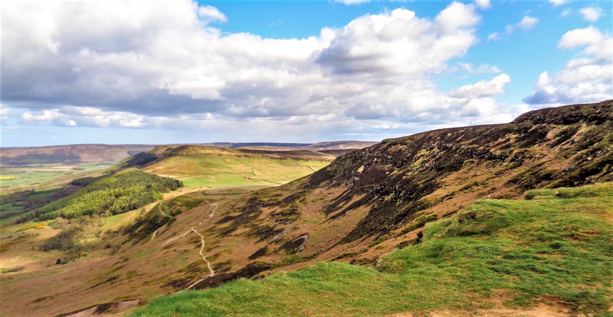
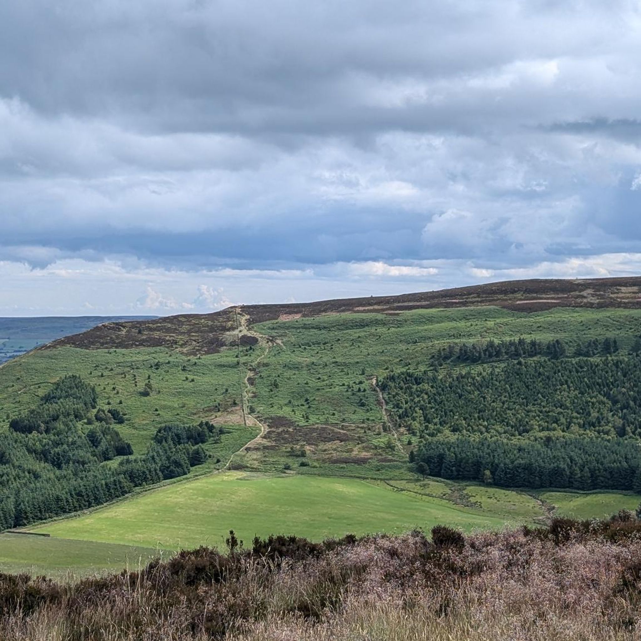
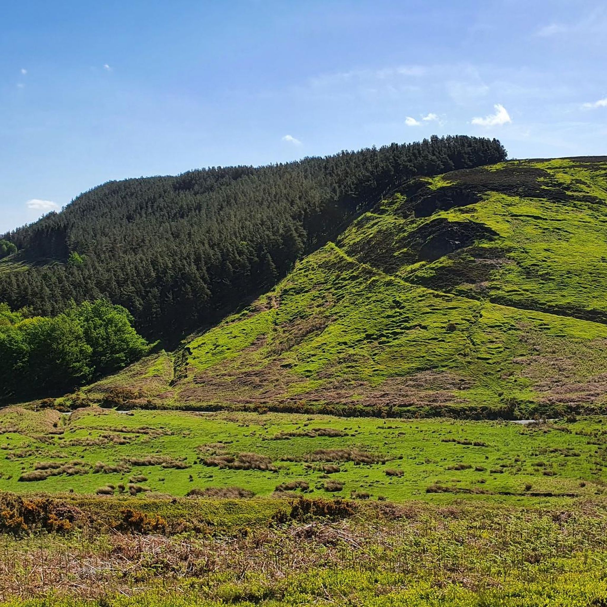
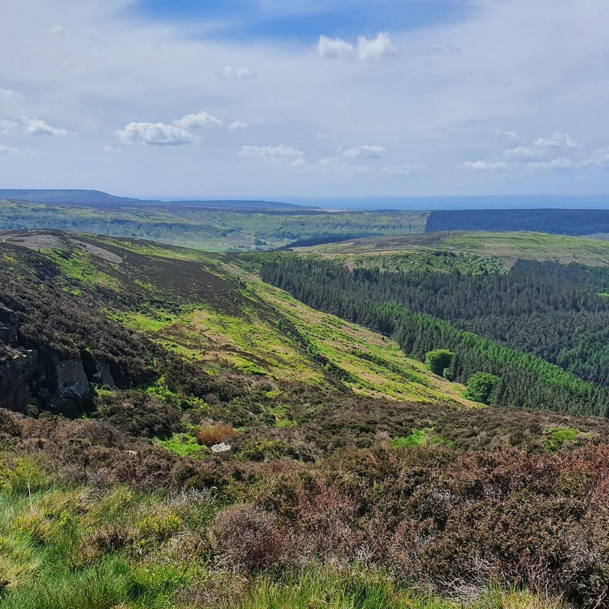

Other adventures around Whorlton

Tips from the Community

Preston's Pot is a notable cave located near Kettlewell in the Yorkshire Dales National Park, United Kingdom. The area offers a variety of hiking opportunities, including the Providence Pot and Great Whernside loop, which starts from Kettlewell [1]. This intermediate hike spans approximately 5.66 miles and features an elevation gain of about 1,575 feet, making it suitable for hikers with good fitness levels. The trail provides scenic views and passes by Providence Pot, another interesting cave in the region. It's advisable to wear sturdy footwear and be prepared for changing weather conditions, as the terrain can be challenging and the weather unpredictable. Always check local weather forecasts and trail conditions before setting out. [1] https://www.komoot.com/smarttour/e1375948090/providence-pot-and-great-whernside-loop-from-kettlewell-yorkshire-dales-national-park
0
0

Ingleby Greenhow is a village and civil parish in the Hambleton district of North Yorkshire. The name may derive from the Saxon for Englishman's green hill.
0
0
A stylish small market town on the River Leven. It is located in the Hambleton district of North Yorkshire.
0
0
The village of Hutton Rudby lies between the North Yorkshire market towns of Yarm and Stokesley and is close to the North York Moors National Park.
0
0
The cafe at the Grange is ran by serving prisoners backed by HMP & YOI Kirklevington. It offers good value food from hot drinks, breakfasts to handmade cakes
0
0

Carlton in Cleveland is a lovely, historic village and well worth stopping at. Historically, its name is first mentioned in the Domesday Book in 1086. There is a sense of history here as well as classic English quaintness. On the north end of the village, there is a rather sizeable and imposing St Botolph's Church, completed in Gothic style in 1897. If you need food, consider The Blackwell Ox, which, despite its name perhaps, these days specialises in Thai cuisine.
0
0

This is a popular modern farm shop and cafe housed in 19th-century stables. It serves light lunches and afternoon teas, and is popular with cyclists. Indoor and outdoor seating is available.
1
0

Frequently Asked Questions
How many road cycling routes are available around Whorlton?
There are over 110 road cycling routes around Whorlton, offering a wide range of options for different abilities and preferences.
What kind of terrain can I expect on road cycling routes in Whorlton?
Whorlton's road cycling routes traverse the Pennine Dales Fringe, featuring a mix of rolling countryside, wooded riverbanks along the River Tees, and broad valleys. While many sections are paved, some routes are quite hilly and may include short unpaved segments, requiring good fitness.
Are there routes suitable for beginners or those looking for an easier ride?
Yes, Whorlton offers numerous easier road cycling routes. For example, the Hutton Rudby Village – Roots Farm Shop & Cafe loop from Potto is an easy 28.3-mile path with moderate elevation gain, taking approximately 1 hour 21 minutes to complete.
Where can I find challenging road cycling routes with significant climbs?
For more challenging rides, consider routes that incorporate the region's notable hills. The View from Clay Bank – Carlton Bank Climb loop from Faceby is a 28.0-mile route featuring a significant climb at Carlton Bank. Another option is the Clay Bank Descent – Carlton Bank Climb loop from Cod Beck Reservoir, a 37.4-mile path that includes both a descent and climb at Clay Bank and Carlton Bank.
What are some notable landmarks or points of interest I might see along the routes?
Road cycling routes around Whorlton often pass by significant historical and natural landmarks. You might encounter the ruins of Whorlton Castle, a 14th-century tower house, or the historic Whorlton Bridge, Britain's second oldest suspension bridge. Natural features include Cod Beck Reservoir and viewpoints like the Carlton Bank Summit Trig Point.
Are there any scenic viewpoints along the road cycling routes?
Yes, the varied landscape of Whorlton offers several scenic viewpoints. The Carlton Bank Summit Trig Point provides expansive views, and routes incorporating Clay Bank Summit also offer picturesque vistas of the surrounding Pennine Dales Fringe.
Are there any cafes or places to stop for refreshments along the routes?
Yes, several routes pass by charming establishments perfect for a break. The Hutton Rudby Village – Roots Farm Shop & Cafe loop from Potto, for instance, includes Roots Farm Shop & Cafe. Other popular stops in the area include The Rusty Bike Café and High Paradise Farm Tearoom.
What do other road cyclists enjoy most about cycling in Whorlton?
The area is highly rated by the komoot community, with an average score of 4.6 stars from over 40 reviews. Cyclists often praise the varied terrain, from rolling countryside to challenging climbs, and the scenic beauty of the Pennine Dales Fringe.
What is the best time of year for road cycling in Whorlton?
The transitional landscape of Whorlton, with its mix of upland and lowland features, is enjoyable across seasons. Spring and autumn offer pleasant temperatures and vibrant scenery, while summer provides longer daylight hours. Some routes may be more exposed to weather, so checking forecasts is always advisable.
Are there any loop routes available for road cycling?
Yes, many of the road cycling routes around Whorlton are designed as loops. Examples include the Stokesley–Seamer Connector – Hutton Rudby Village loop from Ingleby Arncliffe, which takes you through several villages, and the Roots Farm Shop & Café – Climb to Faceby loop from Faceby, a longer 40.4-mile option.
Is there public transport access to the road cycling routes in Whorlton?
While Whorlton is a rural area, its proximity to the National Cycle Network (NCN 65) suggests some connectivity. For detailed public transport options to specific starting points, it's recommended to check local bus services or train connections to nearby towns like Northallerton or Stokesley, and then plan your ride accordingly.
Where can I find parking for road cycling routes in Whorlton?
Parking availability varies by route starting point. Many routes begin from villages or near attractions where public parking may be available. For example, routes around Cod Beck Reservoir or near Whorlton Castle might offer designated parking areas. Always check local signage for restrictions.
Most popular routes around Whorlton
Most popular attractions around Whorlton

Get inspired with the komoot mobile app


Explore more
Browse the best Road cycling routes in other regions.
