Thirkleby High And Low With Osgodby
Thirkleby High And Low With Osgodby
The best walks and hikes around Thirkleby High And Low With Osgodby
4.5
(745)
5,614
hikers
197
hikes
Hiking around Thirkleby High And Low With Osgodby explores the rural landscape of the Vale of Mowbray in North Yorkshire. The area features gentle, rolling countryside with farmland, meadows, and woodlands. Its location provides access to the nearby escarpment of the Hambleton Hills and the North York Moors National Park, offering a mix of lowland walks and more elevated routes.
Best hiking trails around Thirkleby High And Low With Osgodby
- The most popular hiking route is Kilburn White Horse –…
Last updated: June 25, 2026
4.2
(33)
154
hikers
10.2km
02:57
260m
260m
Moderate hike. Good fitness required. Mostly accessible paths. Sure-footedness required.
4.7
(33)
518
hikers
6.23km
01:45
130m
120m
Easy hike. Great for any fitness level. Easily-accessible paths. Suitable for all skill levels.

Sign up for free
5.0
(3)
61
hikers
18.9km
05:23
410m
410m
Hard hike. Very good fitness required. Easily-accessible paths. Suitable for all skill levels.
5.0
(5)
51
hikers
18.7km
05:16
390m
390m
Hard hike. Very good fitness required. Easily-accessible paths. Suitable for all skill levels.
5.0
(2)
29
hikers
13.2km
03:47
330m
330m
Moderate hike. Good fitness required. Easily-accessible paths. Suitable for all skill levels.
Get access to more routes and recommendations from other explorers.
Sign up for free
Already have an account?
Our route recommendations are based on thousands of hikes, rides, and runs completed by other people on komoot.
Start today with a free account
Your next adventure awaits.
Login or Signup
Popular around Thirkleby High And Low With Osgodby


Tips from the Community

Byland Abbey is a ruined 12th-century monastery located in the North York Moors National Park in North Yorkshire, England, managed today by English Heritage. Once a powerhouse of the Cistercian order, it stands as one of the finest examples of early Gothic architecture in the country and famously inspired the design of the iconic Rose Window at York Minster.
0
0
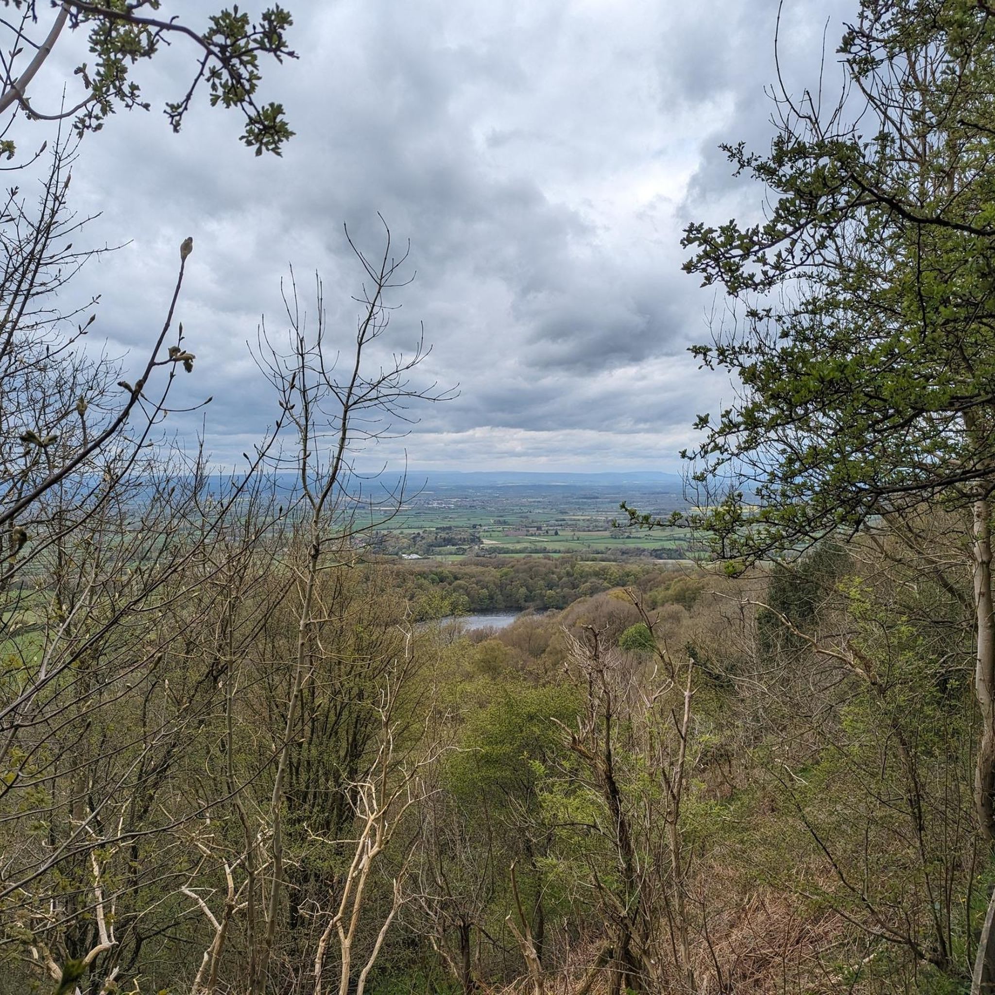
Gormire Lake is a natural lowland lake that lies at the foot of Whitestone Cliff, a western escarpment of the Hambleton Hills
0
0

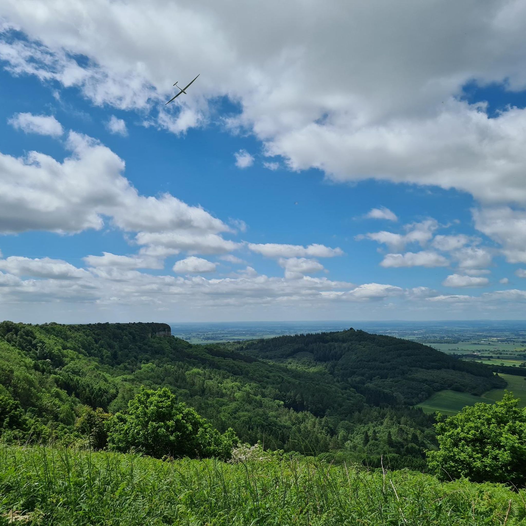
Walk to Sutton Bank not just for the stunning scenery, but to watch gliders take off, towed by small planes, and glide back down. Sometimes they feel just an arm’s length away! A unique and thrilling sight.
0
0

Expensive parking but some nice routes
0
0


Byland Abbey is a stunning ruin dating back to the 1100s. It was once one of the grandest medieval monasteries but was dissolved by Henry VIII in the 1530s. Today it offers a scenic picnic spot and a glimpse into history. It's free to visit and features a tearoom open from March to November, serving cakes and coffee
1
0

Meaning "filthy swamp", there are many local legends and myths surrounding this lake, such as it is bottomless (it is 6.5m deep) and was created by an earthquake that swallowed a village resulting in the lake today (it is a glacial lake).
0
0
Frequently Asked Questions
What is the general terrain like for hiking around Thirkleby?
The landscape offers a mix of experiences. You'll find gentle, rolling countryside with farmland and meadows in the Vale of Mowbray, which is ideal for easier walks. For more of a challenge, the nearby escarpment of the Hambleton Hills and the North York Moors National Park provide more strenuous routes with significant elevation changes.
Are there any easy, family-friendly walks in the area?
Yes, there are many options suitable for families. The area features over 70 easy-rated trails. A great choice is the Kilburn White Horse – View from Sutton Bank loop from Sutton-under-Whitestonecliffe. It's a relatively short walk that still offers the reward of seeing the famous landmark and enjoying the views.
Can I bring my dog on the trails?
Generally, yes, dogs are welcome on the public footpaths. However, you will be walking through farmland with livestock and near sensitive wildlife areas like nature reserves. Always keep your dog on a lead in these situations and be mindful of the Countryside Code.
Which hikes offer the best views?
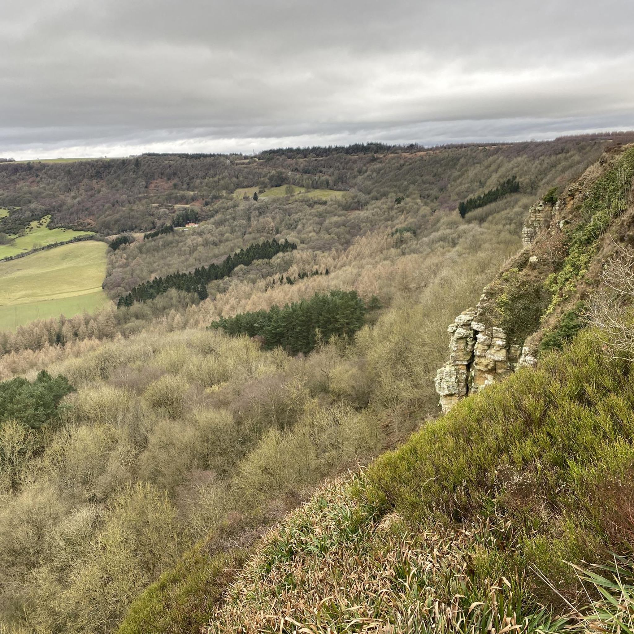
For spectacular panoramic views across the Vale of Mowbray, routes that ascend to the Sutton Bank escarpment are highly recommended. The area is famous for its dramatic vistas, and many trails incorporate these viewpoints.
Are there any good circular walks?
Most of the popular routes in the area are circular. A challenging but rewarding option is the Kilburn White Horse – View from Sutton Bank loop from Kilburn. This longer trail combines the area's most famous landmarks into a single, comprehensive hike.
Where are the best places to park for a hike?
Parking availability depends on your chosen trailhead. Popular starting points like the villages of Kilburn and Thirlby have on-street parking, but it can be limited. There are also dedicated car parks at major attractions like the Sutton Bank National Park Centre, which is a convenient base for many walks.
Is it possible to get to the trails by public transport?
Reaching the trailheads directly by public transport can be challenging due to the rural nature of the area. The nearest major town with better bus and rail connections is Thirsk. From there, you may need to use a local taxi service to get to villages like Kilburn or Sutton-under-Whitestonecliffe to begin your hike.
Are there any walks that include historical points of interest?
Yes, the region is rich in history. Many walks pass by or lead to historical sites. For example, you can incorporate a visit to the architecturally distinct All Saints' Church in Great Thirkleby into a local walk, and the famous Kilburn White Horse is a major historical landmark featured in several key routes.
What do other hikers think of the trails around Thirkleby?
The hiking routes here are very well-regarded by the komoot community, with over 5,000 visitors contributing to reviews. Reviewers often praise the stunning views from the escarpments, the peacefulness of the woodland trails, and the classic English countryside scenery.
Are there any good pub walks?
Many walks start or finish in charming villages that have traditional pubs. The village of Kilburn, a common starting point for routes heading to the White Horse, is a great place to plan a walk around. You can enjoy a rewarding hike and then relax with food and drink afterwards.
How many hiking trails are there to choose from?
There is a wide variety of options, with over 200 hiking routes available around Thirkleby High and Low with Osgodby. These range from short, easy strolls to difficult all-day treks, ensuring there's a trail for every fitness level.
Are there any challenging hikes for experienced walkers?
Yes, for those seeking a more strenuous day out, there are several difficult-rated trails. A great example is the Gormire Lake – View from Sutton Bank loop from Cold Kirby, which covers over 11 miles and includes significant elevation gain, offering a proper challenge with rewarding scenery.
Most popular routes around Thirkleby High And Low With Osgodby
Most popular attractions around Thirkleby High And Low With Osgodby

Get inspired with the komoot mobile app


Explore more
Browse the best Hikes in other regions.
