The best walks and hikes around Pickhill With Roxby
4.3
(80)
607
hikers
58
hikes
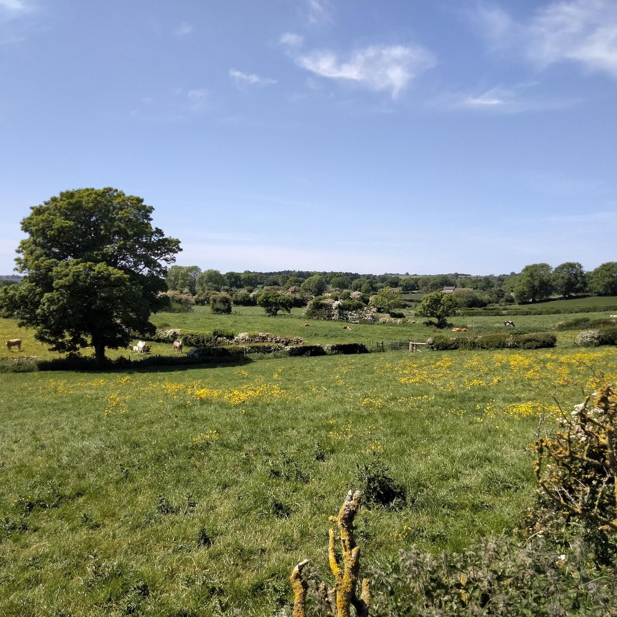
Hiking around Pickhill With Roxby offers routes through the relatively flat agricultural landscape of North Yorkshire. The area is characterized by riverside paths, particularly along the River Swale, and trails that connect small villages and pass historical points of interest. The terrain consists mainly of public footpaths across fields and along quiet country lanes, with minimal elevation change.
Best hiking trails around Pickhill With Roxby
- The most popular hiking route is The Bull Inn – River View loop from Thornborough…
Last updated: June 24, 2026
3.0
(1)
20
hikers
9.24km
02:24
60m
60m
Moderate hike. Good fitness required. Easily-accessible paths. Suitable for all skill levels.
4.0
(2)
11
hikers
3.58km
00:54
0m
0m
Easy hike. Great for any fitness level. Easily-accessible paths. Suitable for all skill levels.

Sign up for free
5.0
(1)
8
hikers
3.44km
00:53
10m
10m
Easy hike. Great for any fitness level. Easily-accessible paths. Suitable for all skill levels.
5.0
(1)
7
hikers
9.35km
02:24
40m
40m
Moderate hike. Good fitness required. Easily-accessible paths. Suitable for all skill levels.
5.0
(3)
31
hikers
Moderate hike. Good fitness required. Easily-accessible paths. Suitable for all skill levels.
Get access to more routes and recommendations from other explorers.
Sign up for free
Already have an account?
Our route recommendations are based on thousands of hikes, rides, and runs completed by other people on komoot.
Start today with a free account
Your next adventure awaits.
Login or Signup


Tips from the Community

Good pub grub. It has a nice beer garden at the rear that’s set close to the River Ure
0
0

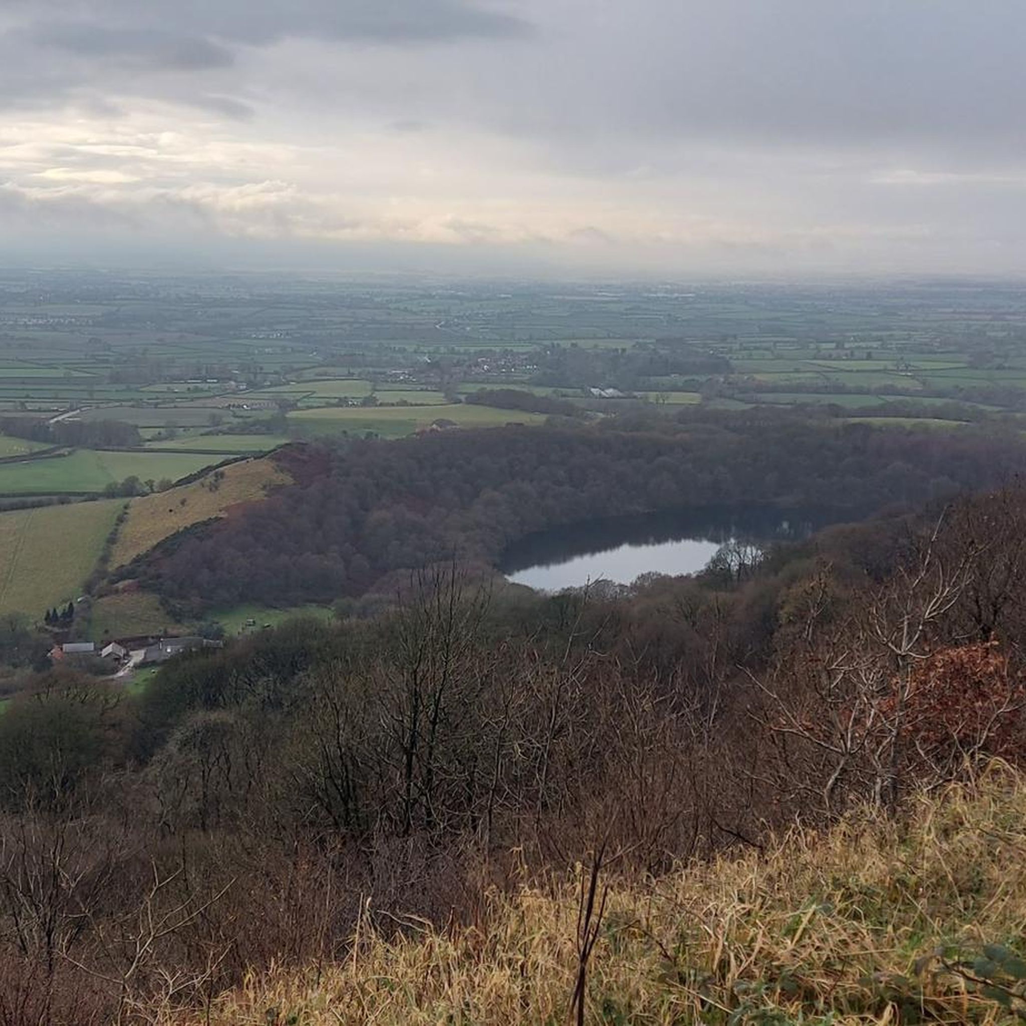
The River Ure flows down Wensleydale past the town of Hawes, past Aysgarth and then the market town of Middleham. The Ure is approximately 119 km (74 miles) long from its source to the point where it changes its name to the River Ouse
0
0
West Tanfield is a village located near the River Ure in North Yorkshire. It is in a picturesque location and is renowned for its historical sites, including the Marmion Tower, a 15th-century gatehouse that belonged to a large manor house. The village has traditional stone houses and well-preserved architectural sites.
0
0
The Bull Inn is a 17th century historic pub on the banks of the River Ure in WestTanfield.
0
0
The church dates to the late 12th or early 13th century, but very little remains of that early medieval building. The church was comprehensively rebuilt in the 15th century and restored in 1859.
0
0

This track is close to the destination in Thirsk. Pleased it had been dry weather for the past few days as the surface would carry mud when raining
0
0

TP6690 - Viewly Hill S7440 County of Yorkshire Trig Pillar
0
0

On a bike - Best to approach from Church St & The Bull Inn as steps at end of small path from North.
0
0
Frequently Asked Questions
Are there any easy, family-friendly hikes around Pickhill?
Yes, the area is well-suited for families. The terrain is generally flat, making for easy walking. A great option is the Thirsk Castle loop from Sowerby, which is a short, mostly flat walk exploring the area around the market town.
Can I take my dog on the trails near Pickhill and Roxby?
Most trails are dog-friendly, but you'll be walking through agricultural land. Always keep your dog on a lead, especially near livestock. Public footpaths across fields and along quiet country lanes are common, so be mindful of farm animals and local regulations.
What is the terrain like? Are there any challenging climbs?
The landscape around Pickhill with Roxby is predominantly flat, part of the Vale of Mowbray. Most routes follow public footpaths across fields and quiet lanes with minimal elevation change. You won't find any difficult mountain climbs here; the hikes are rated easy to moderate.
Are there any good pub walks in the area?
Definitely. Many routes are designed to start or finish near a village pub. For a pleasant walk that includes a pub stop, consider the Old Oak Tree Pub loop from Norby. It's an easy walk through the local countryside.
What historical sites can I see on a walk?
The region is rich in history. While hiking, you can explore the area around the market town of Thirsk, which has historical points of interest. A short drive away, you can find major sites like the Thornborough Henges, known as the 'Stonehenge of the North', and the magnificent ruins of Fountains Abbey.
Are there good riverside walks near Pickhill?
Yes, paths along the River Swale and River Ure are a key feature of hiking in this region. These routes offer serene, flat walking with lovely water views. For a route that specifically includes river scenery, try The Bull Inn – River View loop from Thornborough.
Where can I park for hikes starting near Pickhill?
Parking is typically available in the villages where the hikes begin. For routes starting in towns like Thirsk or Masham, you'll find public car parks. For more rural routes, on-street parking is common, but please park considerately and do not block access for residents or farm vehicles.
What kind of scenery can I expect on hikes in the Vale of Mowbray?
The Vale of Mowbray offers a gentle, agricultural landscape. Expect to walk through open farmland, along quiet country lanes connecting small villages, and beside peaceful rivers like the Swale. It's a classic North Yorkshire countryside experience, characterized by wide-open spaces and rural charm.
Are there options for longer, more moderate hikes?
Yes, while many walks are short and easy, there are several moderate options. These longer routes connect multiple villages or create larger loops through the countryside. A good example is the World of James Herriot loop from Carlton Miniott, which is a pleasant 7.8 km walk.
What do other hikers like about the trails around Pickhill with Roxby?
The area is highly rated by the komoot community. Reviewers often praise the peacefulness of the riverside paths and the charm of walking through the quiet, historic villages. The well-maintained public footpaths across open farmland are also frequently mentioned as a highlight.
How many hiking routes are there to choose from?
There are over 60 curated hiking routes around Pickhill with Roxby. They range from short, easy strolls to more moderate-length walks, offering plenty of options for different fitness levels and interests.
When is the best time of year to hike here?
You can hike around Pickhill with Roxby year-round. Spring and summer offer lush green landscapes and pleasant weather. Autumn provides beautiful colours, while winter walks can be crisp and quiet, though paths may be muddy. Always check the weather and wear appropriate footwear.
Most popular attractions around Pickhill With Roxby

Get inspired with the komoot mobile app


Explore more
Browse the best Hikes in other regions.
