The best running trails around Little Busby
4.6
(57)
5,393
runners
231
runs
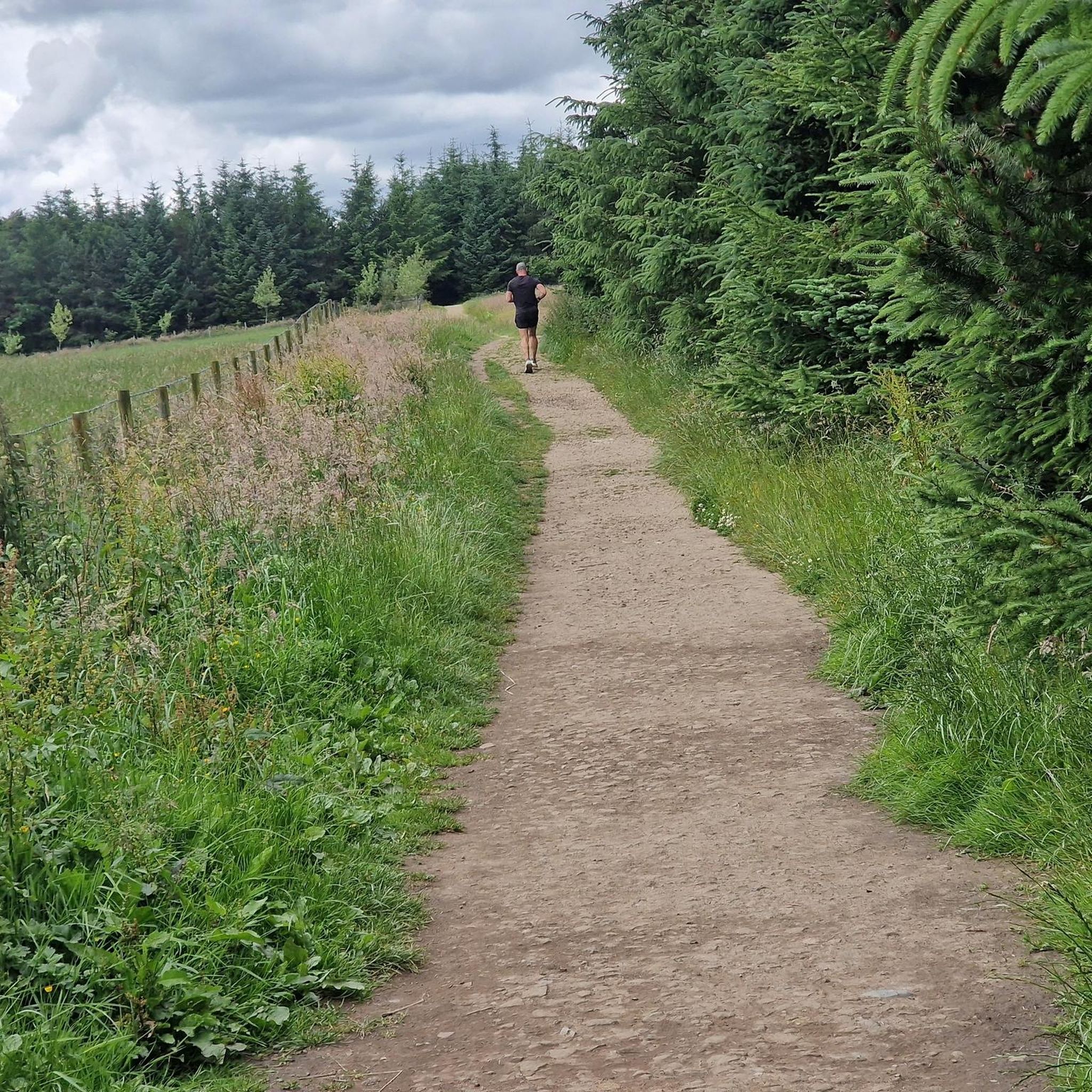
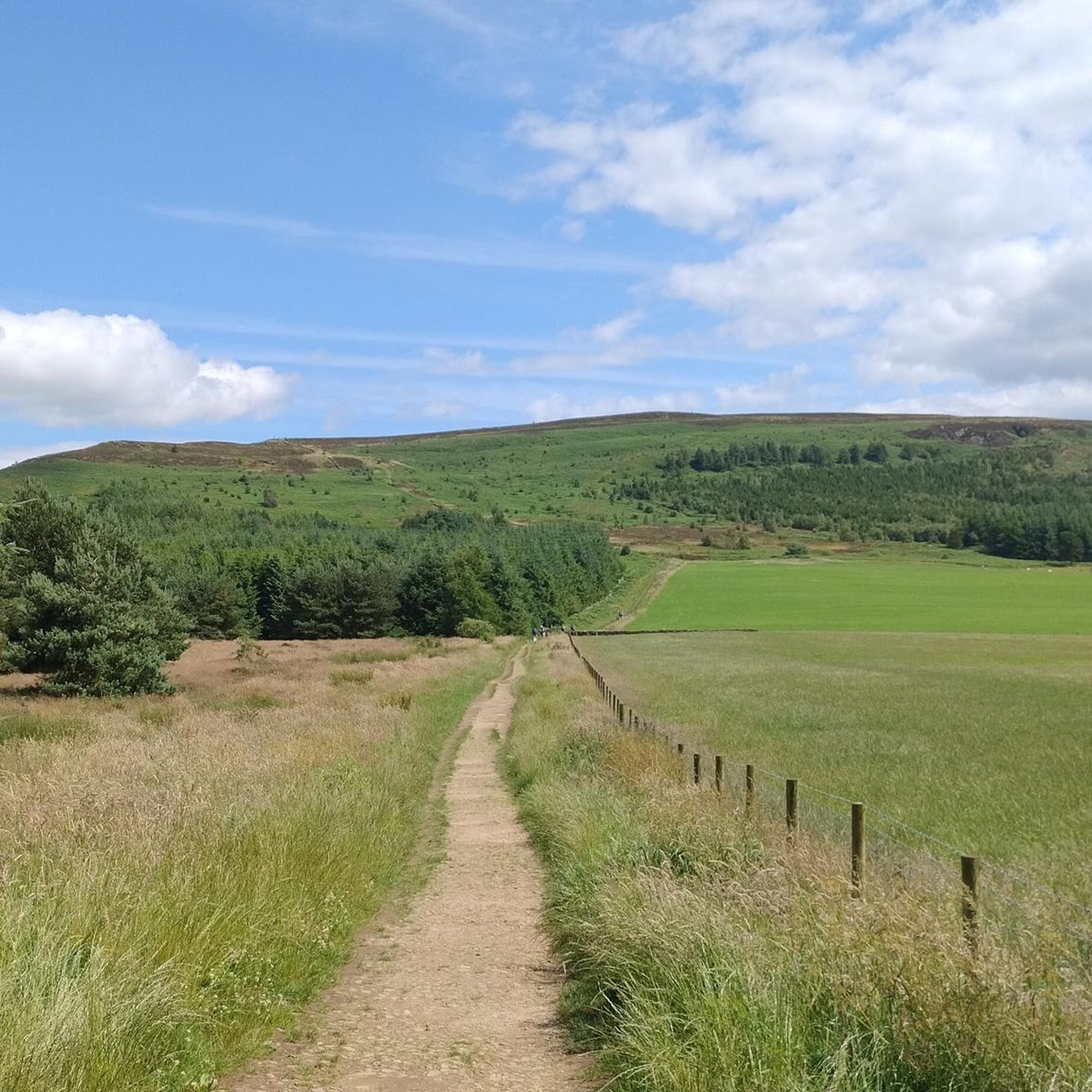
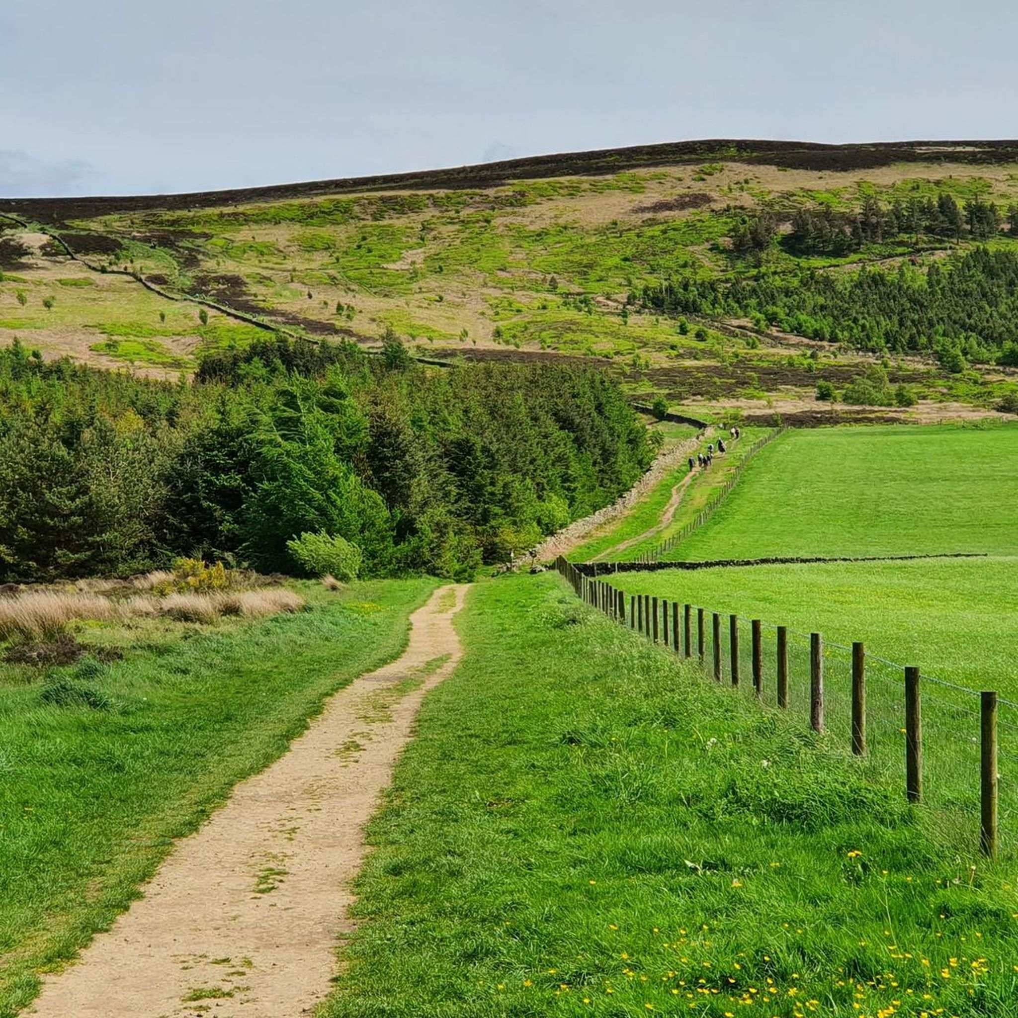
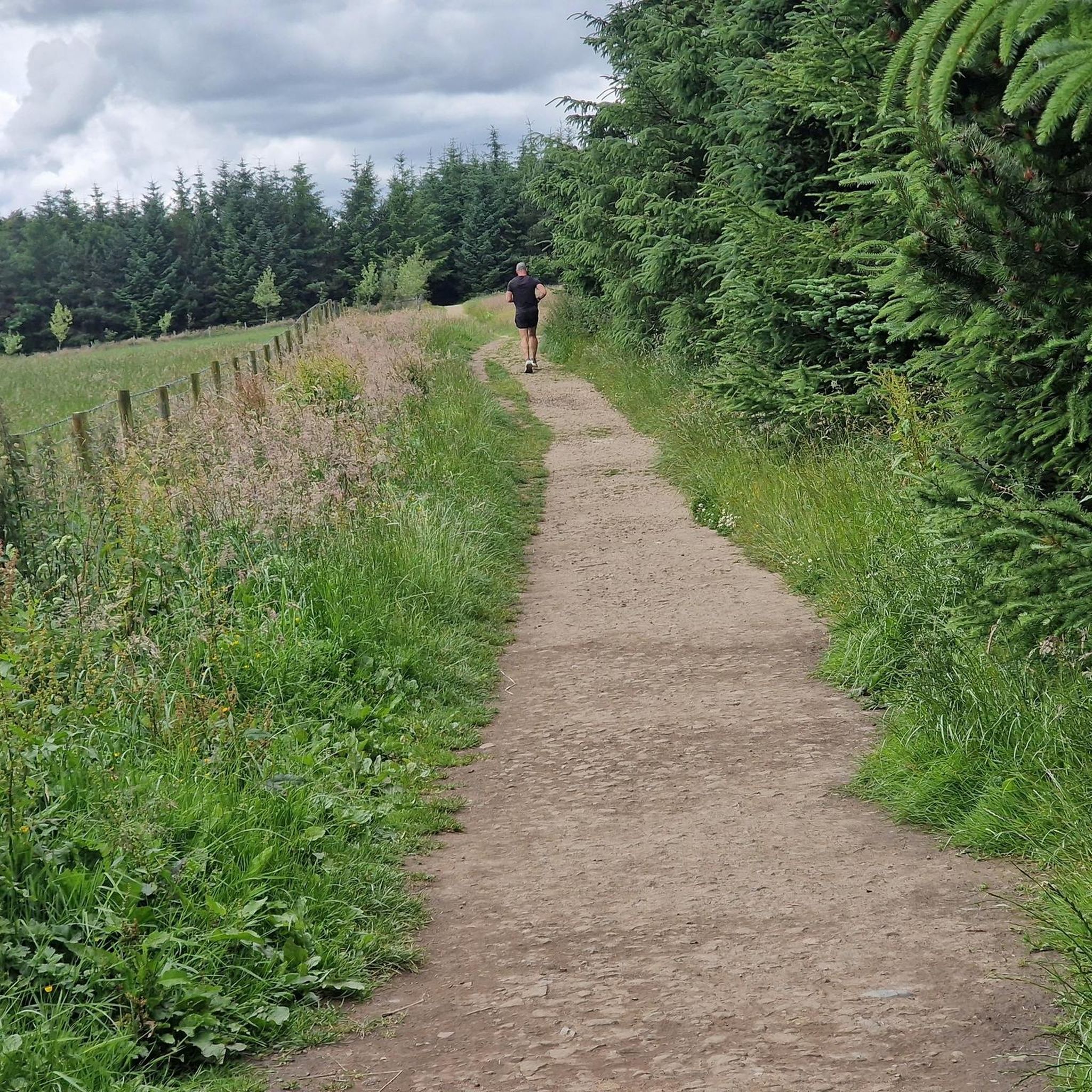
Jogging around Little Busby offers a variety of routes across a landscape characterized by rolling hills, open moorland, and established bridleways. The region features elevated sections, including summits like Cringle End, providing varied terrain for runners. With over 240 routes available, the area caters to all abilities, from easy paths to more challenging ascents.
Best jogging routes around Little Busby
- The most popular jogging route is Cringle End Summit – The Wainstones loop from Cringle Moor, a 6.8 miles…
Last updated: May 25, 2026
144
runners
10.9km
01:21
380m
380m
Hard run. Very good fitness required. Sure-footedness, sturdy shoes and alpine experience required.
4.0
(2)
118
runners
22.2km
02:52
730m
730m
Hard run. Very good fitness required. Sure-footedness, sturdy shoes and alpine experience required.

Sign up for free
44
runners
Hard run. Very good fitness required. Mostly accessible paths. Some sure footedness required.
30
runners
6.29km
00:41
80m
80m
Moderate run. Good fitness required. Mostly paved surfaces. Suitable for all skill levels.
25
runners
7.51km
00:56
250m
250m
Moderate run. Good fitness required. Mostly paved surfaces. Suitable for all skill levels.
Get access to more routes and recommendations from other explorers.
Sign up for free
Already have an account?
Our route recommendations are based on thousands of hikes, rides, and runs completed by other people on komoot.
Start today with a free account
Your next adventure awaits.
Login or Signup

Tips from the Community

The initial ascent is challenging and could be difficult in wet weather. Well worth a trip up though!
0
0

Lots of view points, people rock climbing and the up and downs test you as they are short, but a touch punchy for their short elevation!
0
0

You’ll have to jump over the wall and fence from the footpath to touch the trig pillar
0
0

Intense incline but the views at top were spectacular
0
0

Sometimes known as Hasty Bank, which is the incline to the south of the ridge line, White Hill is 398m above sea level. Spectacular views to the north, with Raven's Scar immediately below. You can also see across Clay Bank to Carr Ridge in the east.
1
0
Great views east over Near Moor and Pamperdale Moor, all the way to Whorlton Moor on the horizon.
1
0
From the top of Beacon Hill you can see the dramatic northern escarpment of the moors, stretching away to Roseberry Topping. Fantastic views, and there is quite an easy track directly down Scarth Wood Moor to Sheep Wash car park.
1
0
Frequently Asked Questions
How many running routes are available in Little Busby?
Little Busby offers a wide selection of running routes, with over 240 trails to explore. This includes a mix of easy, moderate, and difficult paths across varied terrain.
Are there easy running paths for beginners in Little Busby?
Yes, Little Busby has 19 easy running routes perfect for beginners or those looking for a gentler pace. These paths typically feature less elevation gain and smoother surfaces, making them accessible for all fitness levels.
Can I find circular jogging trails in the area?
Many of the running routes around Little Busby are circular, allowing you to start and finish at the same point. An example is the Carlton Shale Bridleway loop from Carlton in Cleveland, a moderate 3.9-mile trail.
Are the running routes in Little Busby suitable for families?
The region's diverse trails include options suitable for families. Look for the 'easy' rated routes, which often follow established bridleways and offer a more manageable distance and elevation, perfect for a family outing.
Are dogs allowed on the running trails around Little Busby?
Many of the public footpaths and bridleways in Little Busby are dog-friendly. However, as much of the area is open moorland and agricultural land, it's crucial to keep dogs under close control, especially near livestock, and to clean up after them. Always check local signage for specific restrictions.
What kind of views or landmarks can I expect on these routes?
Running routes in Little Busby often feature expansive views of rolling hills and open moorland. You can encounter distinctive rock formations like The Wainstones, or reach summits such as Carlton Bank Summit Trig Point, offering panoramic vistas. Some trails also pass by historical sites like Captain Cook's Monument on Easby Moor.
Where can I park when visiting the running routes?
Parking is available at various points near the trailheads. For example, the difficult 13.8-mile route, Lord Stones Café & Car Park – Cringle End Summit loop from Carlton in Cleveland, starts directly from a dedicated car park, often associated with local cafes or visitor centers.
Are there places to eat or drink near the running routes?
Yes, some running routes start or pass near local amenities. The Lord Stones Café & Car Park – Cringle End Summit loop, for instance, begins at Lord Stones Café, providing an opportunity for refreshments before or after your run. Other routes may lead you to villages with pubs or small shops.
What are some less crowded running options in Little Busby?
While popular routes like those to Cringle End Summit can attract many, exploring some of the 146 moderate or 19 easy routes might offer a quieter experience. Trails that venture further into the open moorland, away from main access points, tend to be less frequented.
What is the best time of year to go running in Little Busby?
Spring and autumn generally offer the most pleasant running conditions with milder temperatures and beautiful scenery. Summer can be great, but be prepared for more sun exposure on the open moorland. Winter running is possible, but trails can be muddy or icy, especially at higher elevations.
Are there any running routes suitable for winter?
Winter running is possible in Little Busby, particularly on lower-lying bridleways and established paths. However, higher elevations and moorland trails can become challenging due to mud, ice, or snow. Always check weather conditions and wear appropriate gear for winter runs.
How long are the running routes around Little Busby?
Running routes in Little Busby vary significantly in length. You can find shorter trails, like the 3.9-mile Carlton Shale Bridleway loop, up to longer, more challenging runs such as the 13.8-mile Lord Stones Café & Car Park – Cringle End Summit loop.
What do other runners say about the trails in Little Busby?
The running trails in Little Busby are highly rated by the komoot community, with an average score of 4.5 stars from over 45 reviews. Runners often praise the diverse terrain, the challenging ascents to summits like Cringle End, and the expansive views across the North York Moors.
Are there challenging running routes for experienced runners?
Absolutely. Little Busby is known for its challenging terrain, featuring 78 difficult routes. Trails like the 6.8-mile Cringle End Summit – The Wainstones loop from Cringle Moor offer significant elevation gain and technical sections, perfect for experienced runners seeking a demanding workout.
Most popular attractions around Little Busby

Get inspired with the komoot mobile app


Explore more
Browse the best Running Trails & Routes in other regions.
