The best running trails around Kilburn High And Low
3.7
(4)
559
runners
25
runs
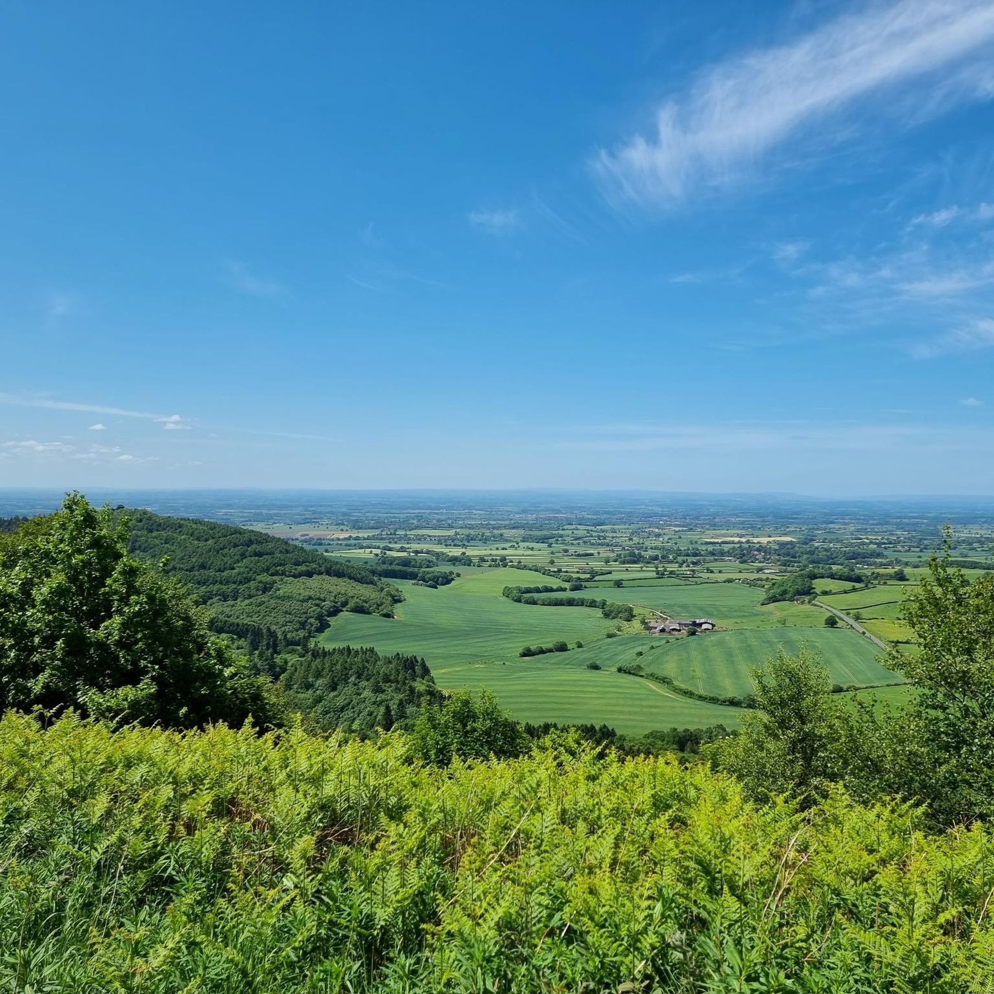
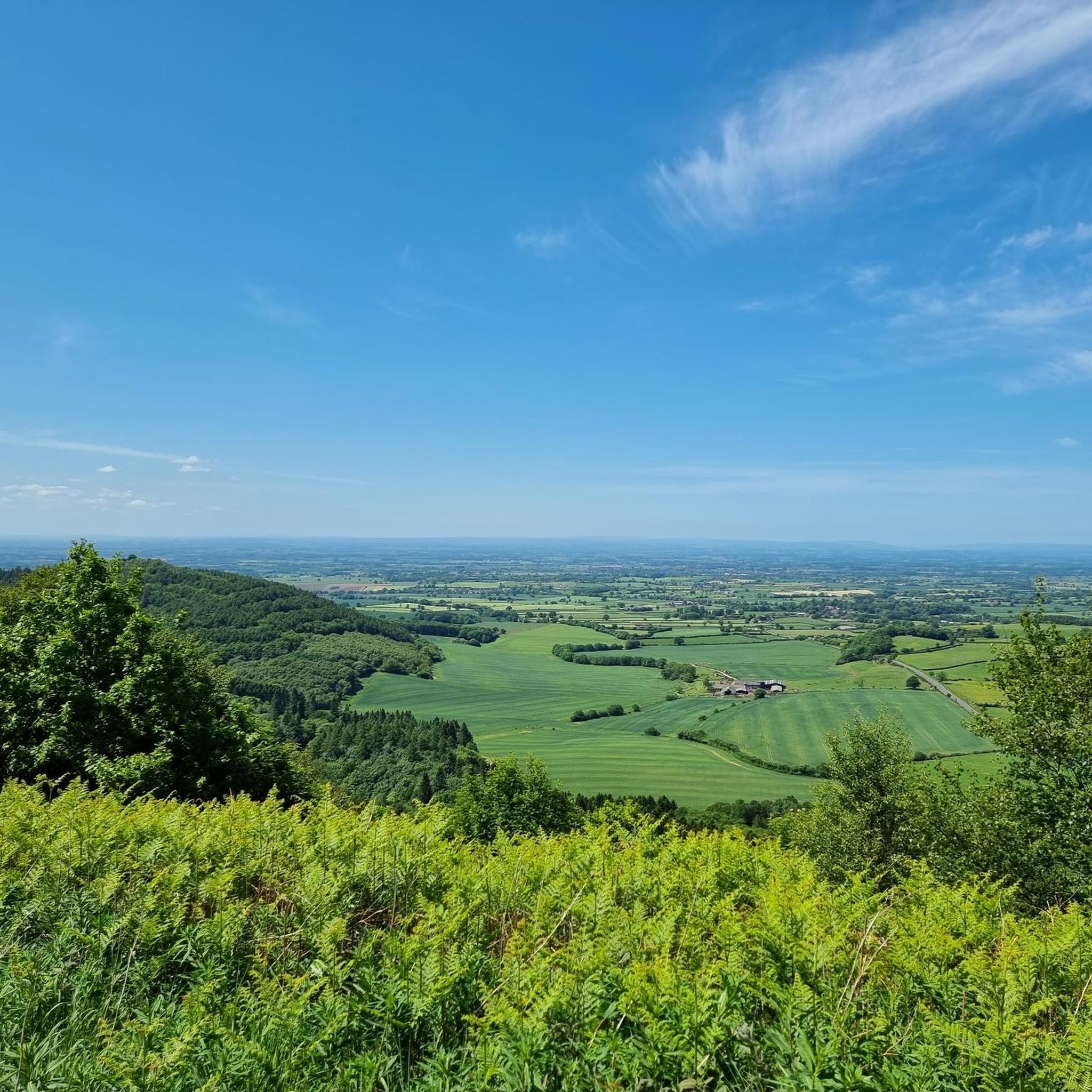
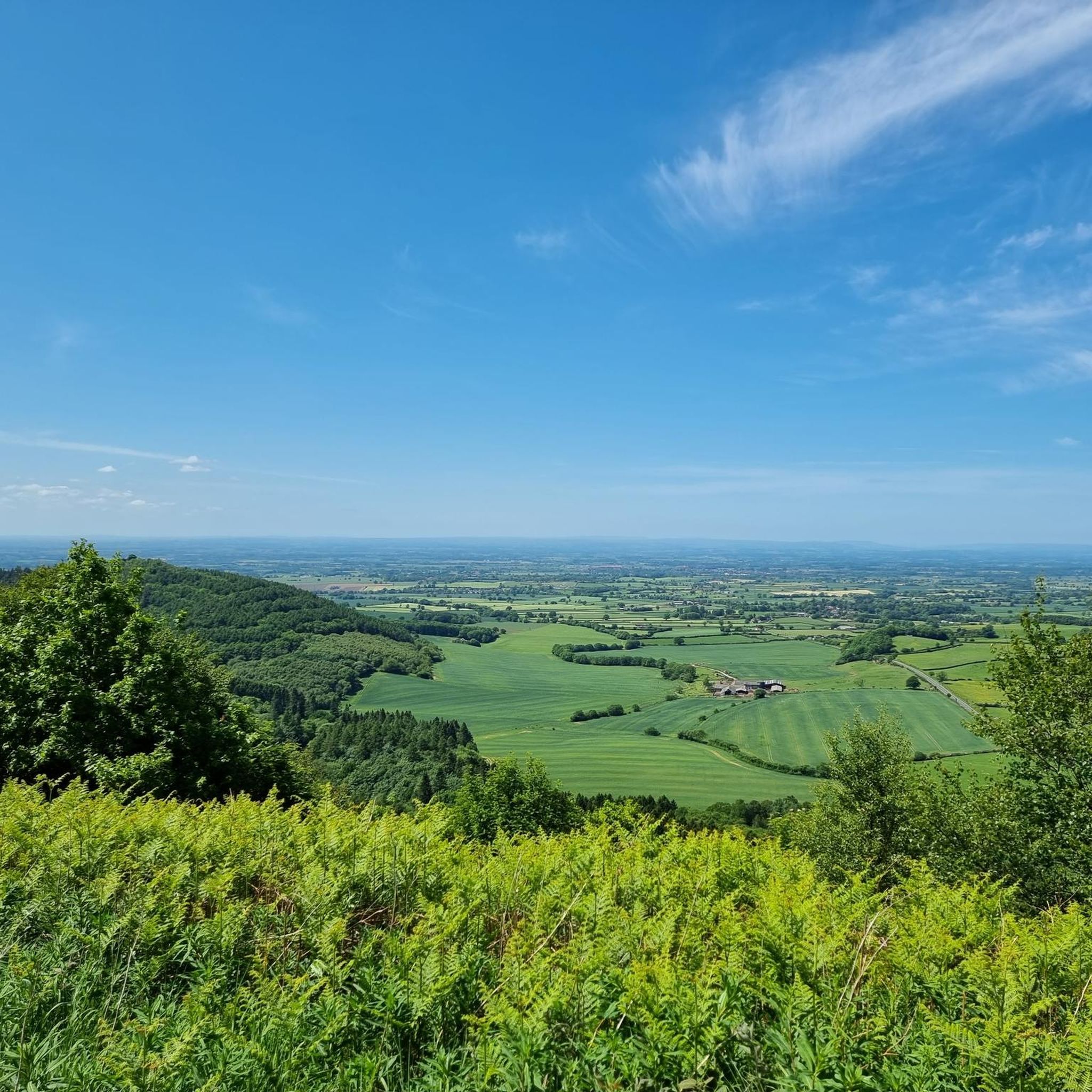
Jogging around Kilburn High And Low offers access to varied terrain within the Hambleton Hills and on the edge of the North York Moors National Park. The region features prominent landmarks such as the Kilburn White Horse, carved into the limestone rock, and areas like Sutton Bank, providing panoramic views. Runners can explore mixed woodlands, follow paths along streams, and encounter hills that contribute to diverse elevation profiles.
Best jogging routes around Kilburn High And Low
- The most popular jogging route is Sutton Bank and White Horse Loop, a 3.9 miles (6.2 km) trail that takes 45 minutes to complete. This route offers moderate terrain with rewarding views across the Yorkshire landscape.
- Another top favourite among local runners is Kilburn White Horse – High Paradise Farm Tearoom loop from Hood Grange, a difficult 19.4 miles (31.1 km) path. This long-distance route features significant elevation gain through varied countryside.
- Local runners also love the Hood Hill Plantation – Kilburn White Horse loop from Hood Grange, a 7.5 miles (12.0 km) trail leading through Hood Hill Plantation and past the Kilburn White Horse, often completed in about 1 hour 25 minutes.
- Jogging around Kilburn High And Low is defined by the Hambleton Hills, the Kilburn White Horse, and mixed woodlands. The network offers options for easy, moderate, and difficult runs, catering to different ability levels.
- The routes in Kilburn High And Low are highly rated by the komoot community with an average score of 5.0 stars. More than 500 runners have used komoot to explore Kilburn High And Low's varied terrain.
Last updated: July 7, 2026
10
runners
6.24km
00:46
140m
140m
Moderate run. Good fitness required. Mostly accessible paths. Some sure footedness required.
118
runners
31.2km
03:33
500m
500m
Hard run. Very good fitness required. Mostly paved surfaces. Suitable for all skill levels.

Sign up for free
74
runners
12.1km
01:25
240m
240m
Moderate run. Good fitness required. Mostly paved surfaces. Suitable for all skill levels.
28
runners
32.1km
03:46
670m
670m
Hard run. Very good fitness required. Mostly paved surfaces. Suitable for all skill levels.
27
runners
22.0km
02:34
470m
470m
Hard run. Very good fitness required. Mostly paved surfaces. Suitable for all skill levels.
Get access to more routes and recommendations from other explorers.
Sign up for free
Already have an account?
Our route recommendations are based on thousands of hikes, rides, and runs completed by other people on komoot.
Start today with a free account
Your next adventure awaits.
Login or Signup
Popular around Kilburn High And Low
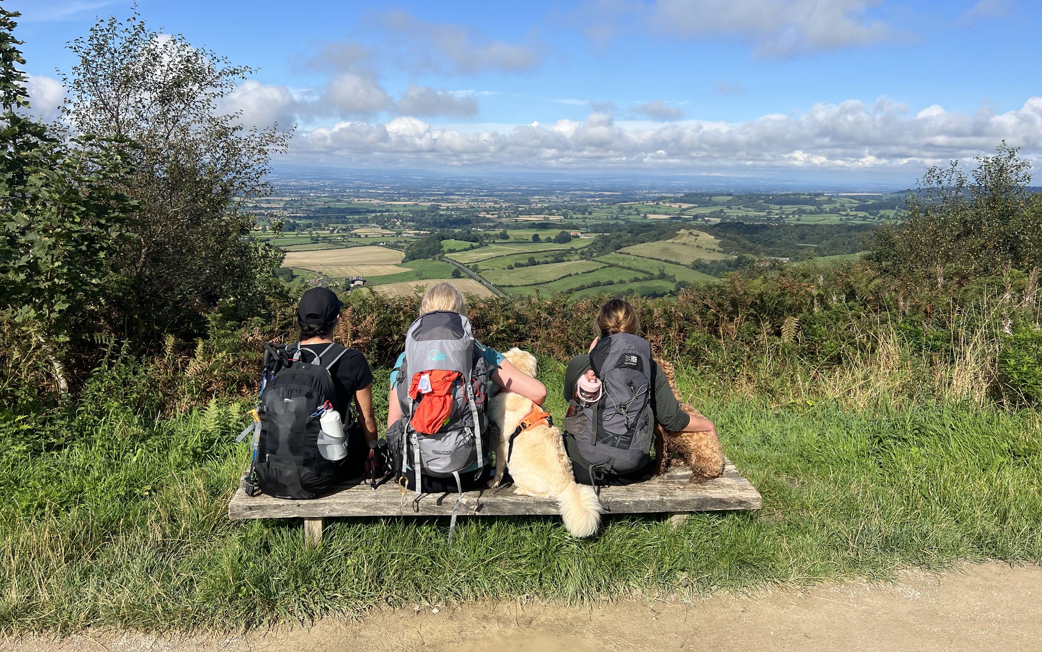
North York Moors National Park – A Walk in the Parks
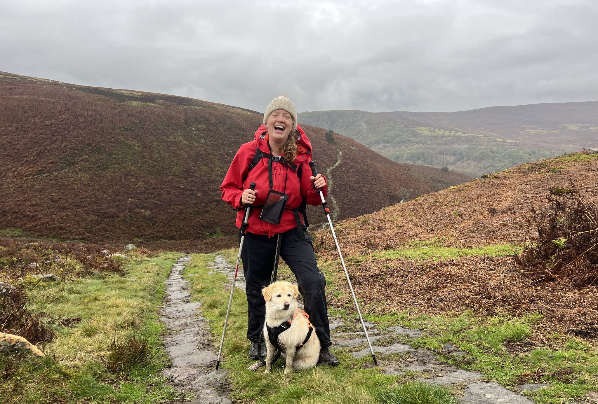
A Walk in the Parks – hikes across all of England’s national parks
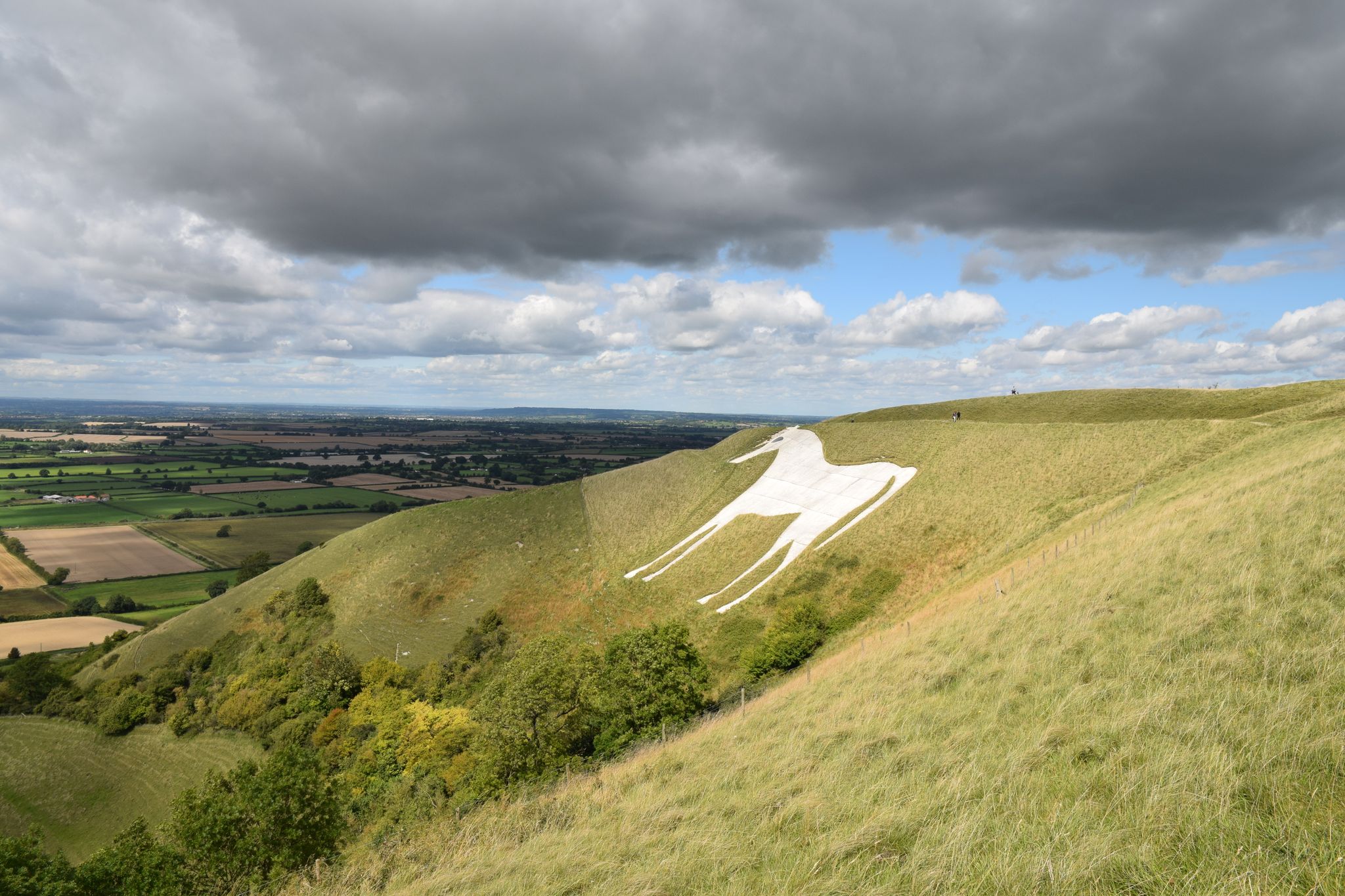
Exploring England's enigmatic hill carvings — chalk hill figures
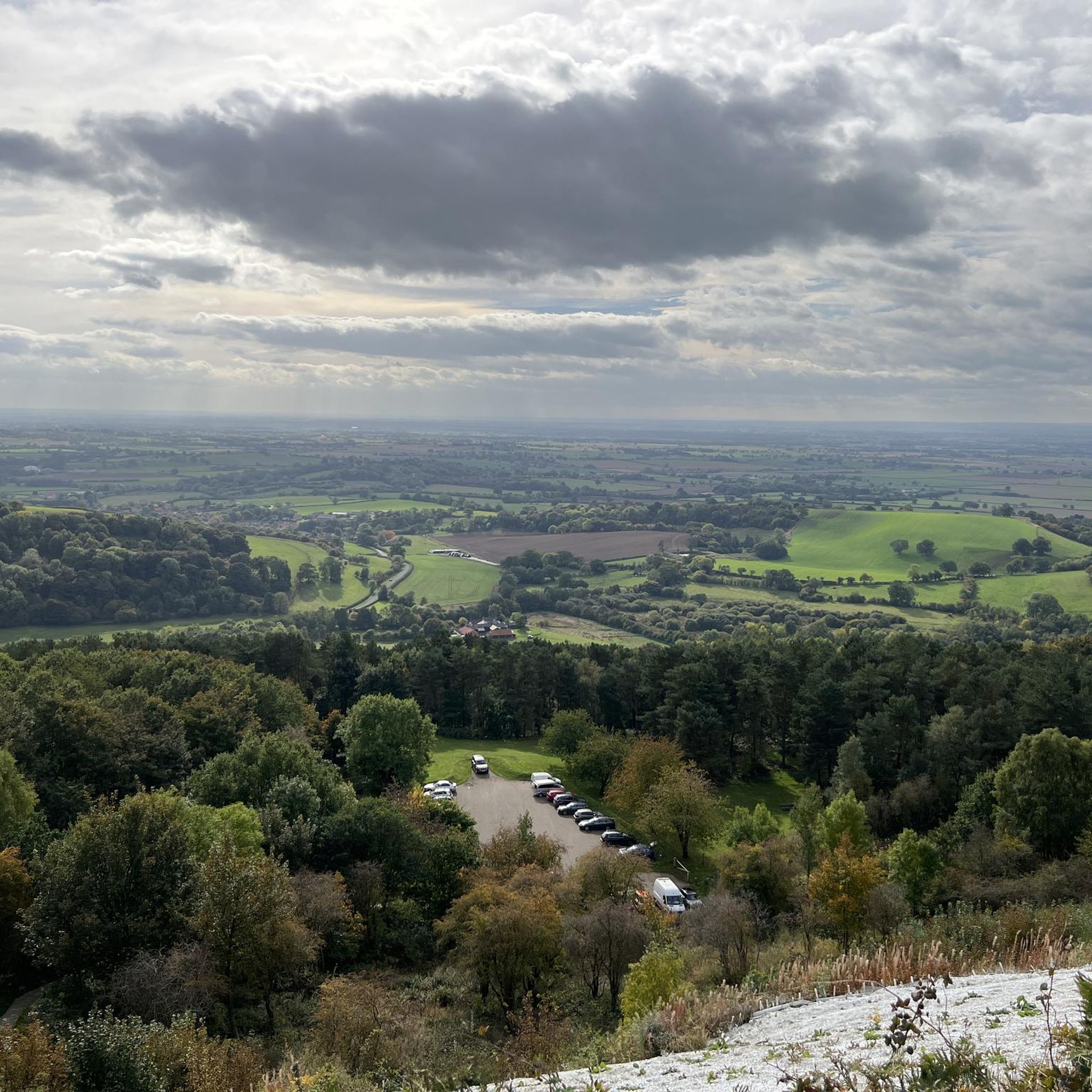
MTB Trails around Kilburn High And Low
Hiking around Kilburn High And Low

Gravel biking around Kilburn High And Low
Cycling around Kilburn High And Low
Road Cycling Routes around Kilburn High And Low
Other adventures around Kilburn High And Low


Tips from the Community

Walk to Sutton Bank not just for the stunning scenery, but to watch gliders take off, towed by small planes, and glide back down. Sometimes they feel just an arm’s length away! A unique and thrilling sight.
0
0

Finest View in England
1
0

Trails along the escarpment taking in the best views over the North York Moors.
0
0

Well worth taking the path down from the Cleveland Way to Gormire Lake, where you can enjoy the peace of the ancient woodland that is Garbutt Wood Nature Reserve.
1
0
One of many good quality tracks and paths that riddle the plantations and woodland around Hood Hill, with many of them providing welcome shade on very hot and sunny days.
1
0
Large car park under the White Horse, £2.50 all day as at July 2024. Free parking in a smaller off-road car park on Osgodby Bank at the southern end of Hood Hill Plantation. Very steep steps up to the top, but there is a metal handrail that alternates from the left to right side of the steps. Fabulous views from the top, although as others mention, you can only really see and appreciate the horse from the bottom of the bank.
2
0
Free parking on Osgodby Bank to the south of the plantation. Plenty of broad tracks and narrow paths to choose from, with some steep gradients and access up to the Kilburn White Horse.
2
0
Frequently Asked Questions
How many running routes are available around Kilburn High And Low?
There are over 25 running routes available around Kilburn High And Low, offering a variety of experiences from moderate to difficult. The area is highly rated by the komoot community, with an average score of 5.0 stars.
Are there any easy running trails suitable for beginners in Kilburn High And Low?
Yes, while many routes offer moderate to difficult challenges, there are a couple of easier options available. These trails allow you to enjoy the scenic beauty of the Hambleton Hills without significant elevation gains.
What kind of terrain can I expect on jogging routes in this region?
Jogging routes around Kilburn High And Low feature diverse terrain, including mixed woodlands, paths alongside streams, and hills that contribute to varied elevation profiles. You'll encounter the limestone rock of the Hambleton Hills and the expansive landscapes of the North York Moors National Park.
Are there any dog-friendly running trails in Kilburn High And Low?
Many of the trails in the Kilburn High And Low area are suitable for running with dogs, especially those that traverse woodlands and open countryside. Always ensure your dog is under control and be mindful of local livestock, particularly in areas bordering farmland.
Can I find circular running routes around Kilburn High And Low?
Yes, many of the running routes in the area are circular, allowing you to start and finish at the same point. An example is the Hood Hill Plantation – Kilburn White Horse loop from Hood Grange, which is a moderate 7.5-mile trail.
What are some notable landmarks or viewpoints I can see while running?
The region is rich in landmarks and viewpoints. You can run past the iconic Kilburn White Horse, a prominent turf-cut figure. Routes also offer panoramic views from areas like Sutton Bank and overlook features such as Gormire Lake and Hood Hill.
Are there any long-distance running options for experienced runners?
Absolutely. For experienced runners seeking a challenge, there are several difficult long-distance routes. The View from Roulston Scar – Kilburn White Horse loop from Kilburn is a difficult 13.6-mile route with significant elevation gain, offering extensive views.
What is the best time of year to go running in Kilburn High And Low?
The area offers beautiful running conditions throughout much of the year. Spring and autumn provide pleasant temperatures and vibrant scenery, while summer allows for longer daylight hours. Winter runs can be invigorating, but trails may be muddy or icy, especially at higher elevations.
Are there any running routes that explore the woodlands?
Yes, the Kilburn High And Low area is known for its mixed woodlands. The Kilburn Woods feature trails like the White Horse walk and other undulating paths that lead through the trees, providing shaded and scenic running experiences.
What are the elevation gains like on the running trails?
Elevation gains vary significantly across the routes, catering to different fitness levels. You can find moderate trails with around 330 feet of ascent, while more difficult, long-distance routes can feature over 1,000 feet of elevation gain, offering challenging climbs and rewarding descents.
Is public transport available to reach the running routes in Kilburn High And Low?
Public transport options to Kilburn, North Yorkshire, are generally limited. It's advisable to check local bus schedules in advance, as services might not directly access all trailheads. Many visitors choose to drive to the area.
Where can I park when visiting Kilburn High And Low for a run?
Parking is typically available in or near Kilburn village, often close to popular trail access points. Specific parking details can vary by trailhead, so it's recommended to check route descriptions or local signage upon arrival.
Most popular routes around Kilburn High And Low
Most popular attractions around Kilburn High And Low

Get inspired with the komoot mobile app


Explore more
Browse the best Running Trails & Routes in other regions.
