The best MTB trails around Ingleby Greenhow
4.4
(114)
1,211
riders
85
rides
Mountain biking around Ingleby Greenhow offers diverse landscapes and challenging terrain within the North York Moors National Park. The area is characterized by a dramatic escarpment leading to expansive moorland, including prominent hills like Round Hill and Carlton Bank. Woodlands and several becks, such as Ingleby Beck, contribute to the varied natural features. This region provides a mix of rocky paths, singletrack, and farm tracks suitable for mountain biking.
Best mountain bike trails around Ingleby Greenhow
- The most popular mountain…
Last updated: May 12, 2026
4.2
(10)
36
riders
27.6km
02:43
590m
580m
Hard mountain bike ride. Good fitness required. Advanced riding skills necessary. Some portions of the route may require you to push your bike.
3.7
(3)
19
riders
Moderate mountain bike ride. Good fitness required. Suitable for all skill levels.

Sign up for free
4.7
(3)
24
riders
51.6km
04:28
670m
670m
Moderate mountain bike ride. Good fitness required. Suitable for all skill levels.
4.0
(1)
12
riders
Moderate mountain bike ride. Good fitness required. Suitable for all skill levels.
12
riders
30.0km
02:33
490m
490m
Moderate mountain bike ride. Good fitness required. Advanced riding skills necessary.
Get access to more routes and recommendations from other explorers.
Sign up for free
Already have an account?
Our route recommendations are based on thousands of hikes, rides, and runs completed by other people on komoot.
Start today with a free account
Your next adventure awaits.
Login or Signup
Popular around Ingleby Greenhow
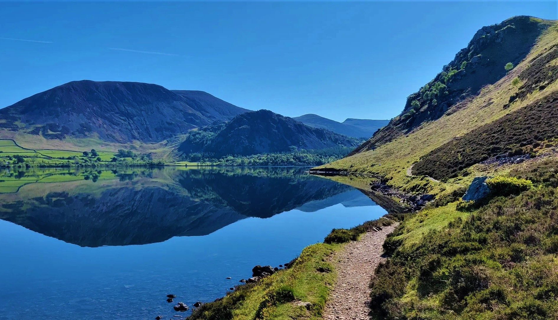
Wainwright's Coast to Coast — Hike the width of England in 13 stages
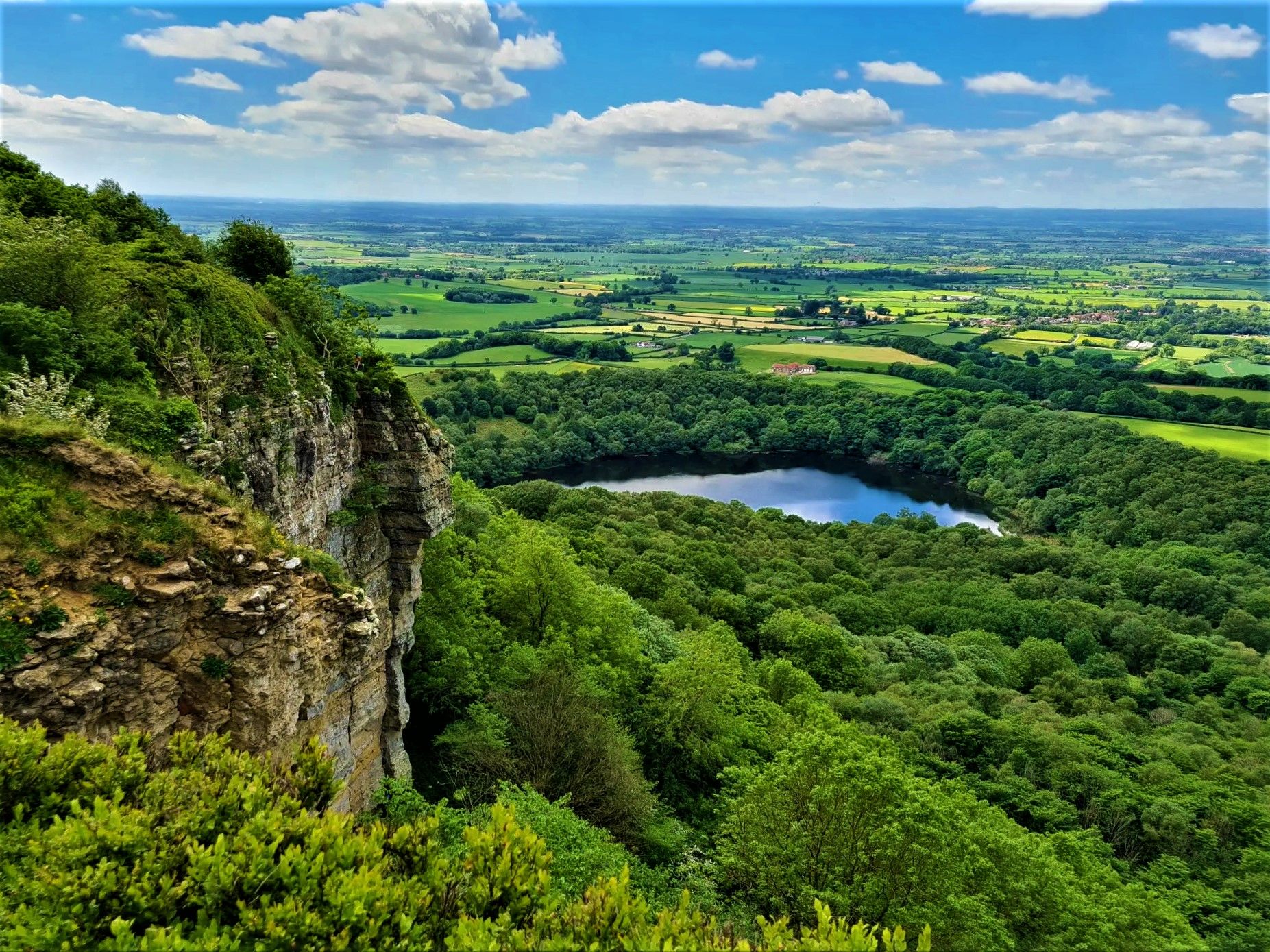
Moors, cliffs, and 'the finest view in England' – White Rose Walk
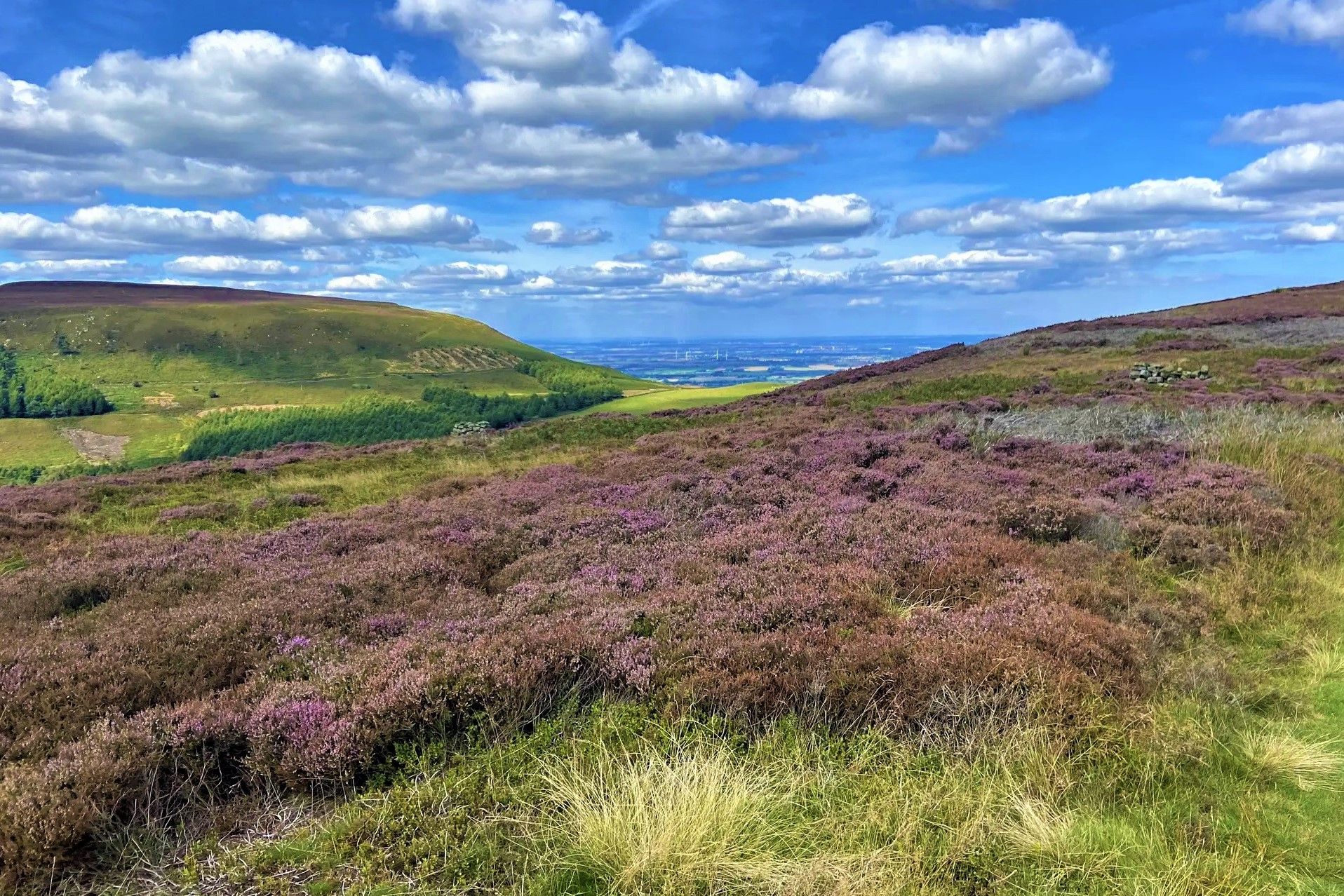
Purple heather, golden sand and classic hiking – North York Moors
Hiking around Ingleby Greenhow
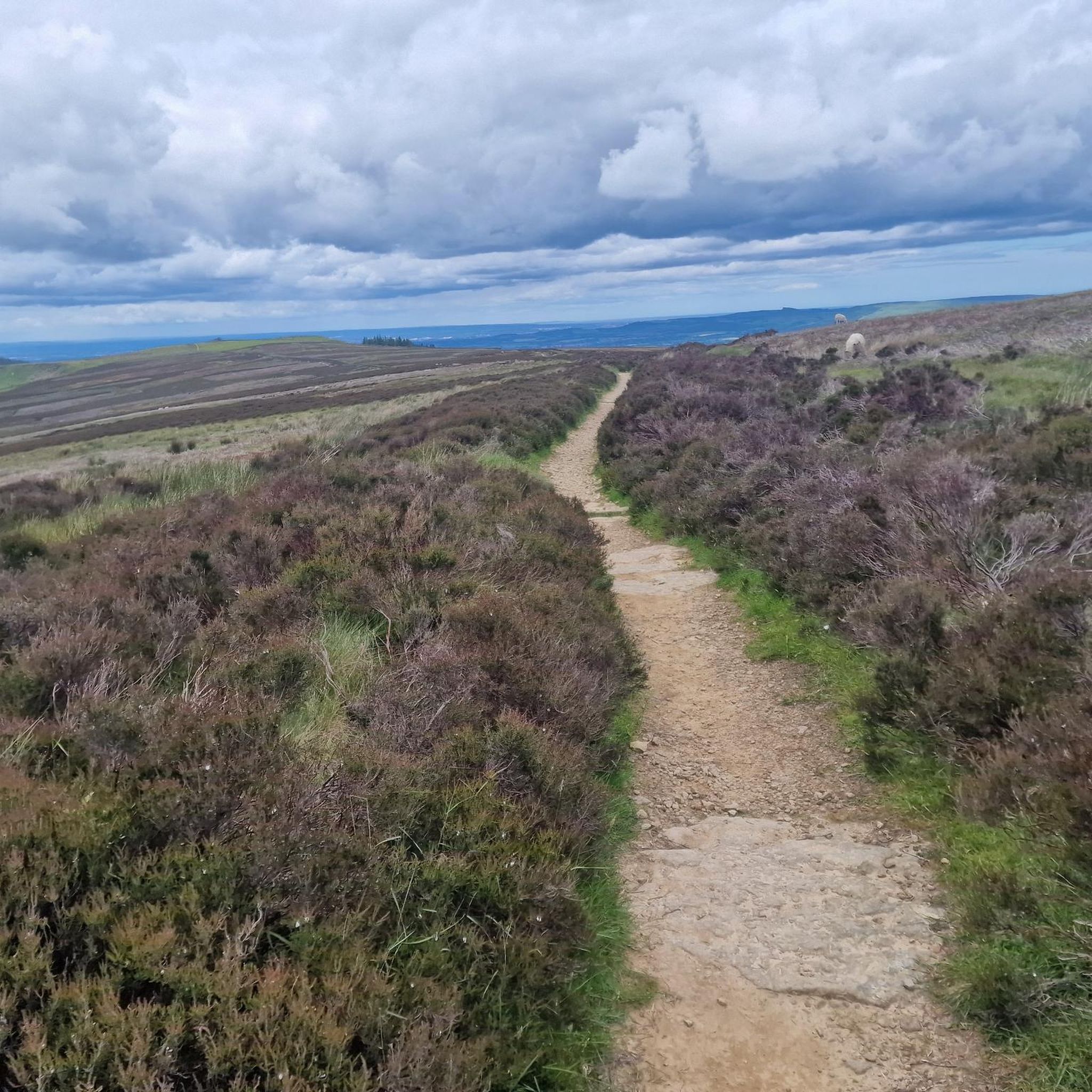
Running Trails around Ingleby Greenhow
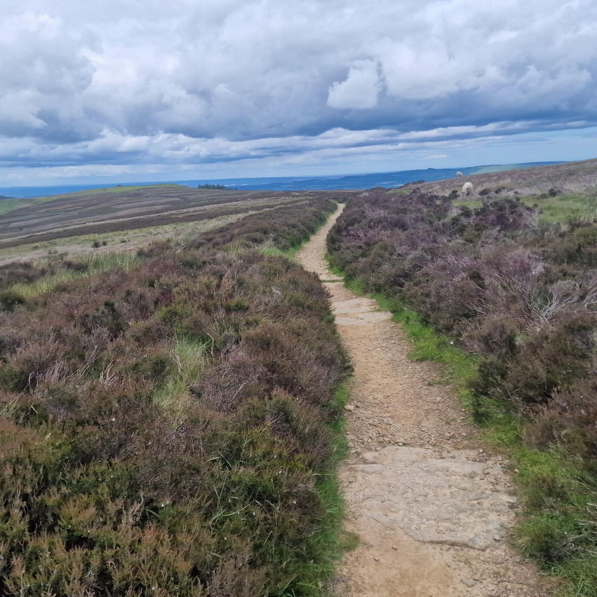
Road Cycling Routes around Ingleby Greenhow
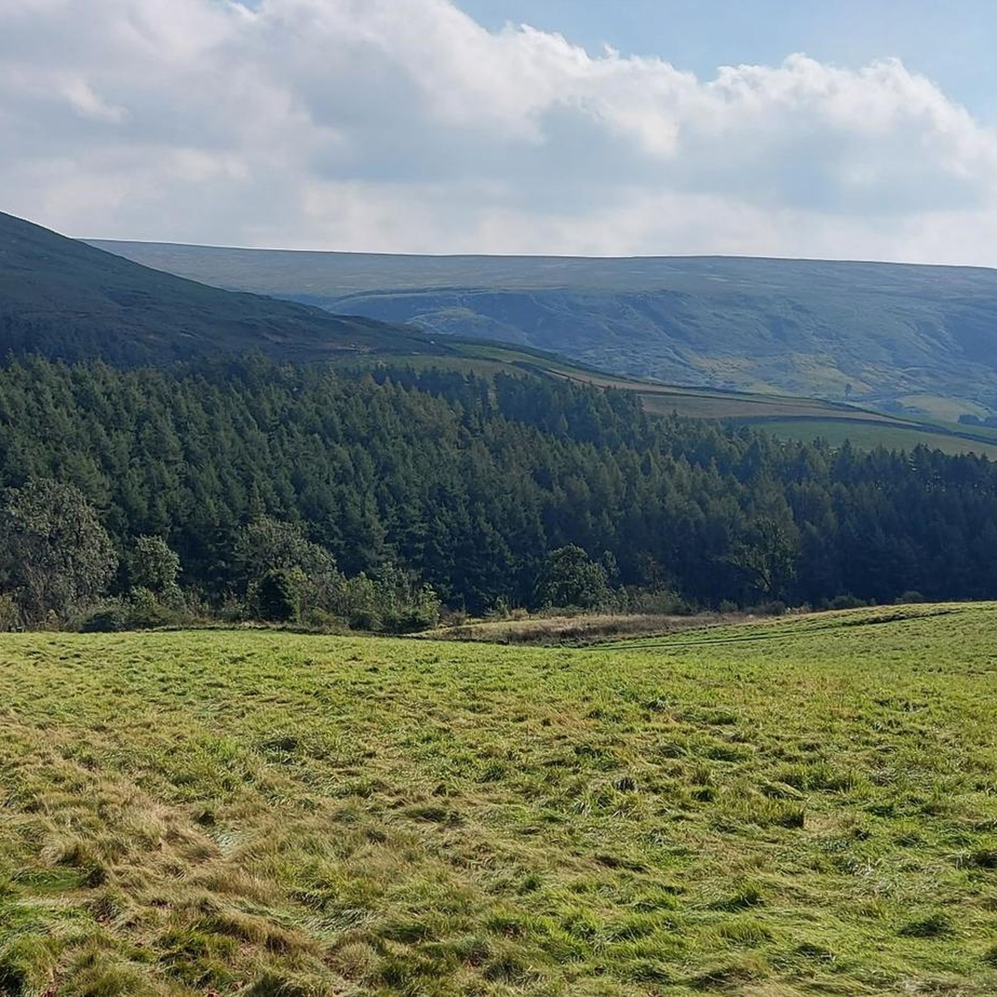
Cycling around Ingleby Greenhow
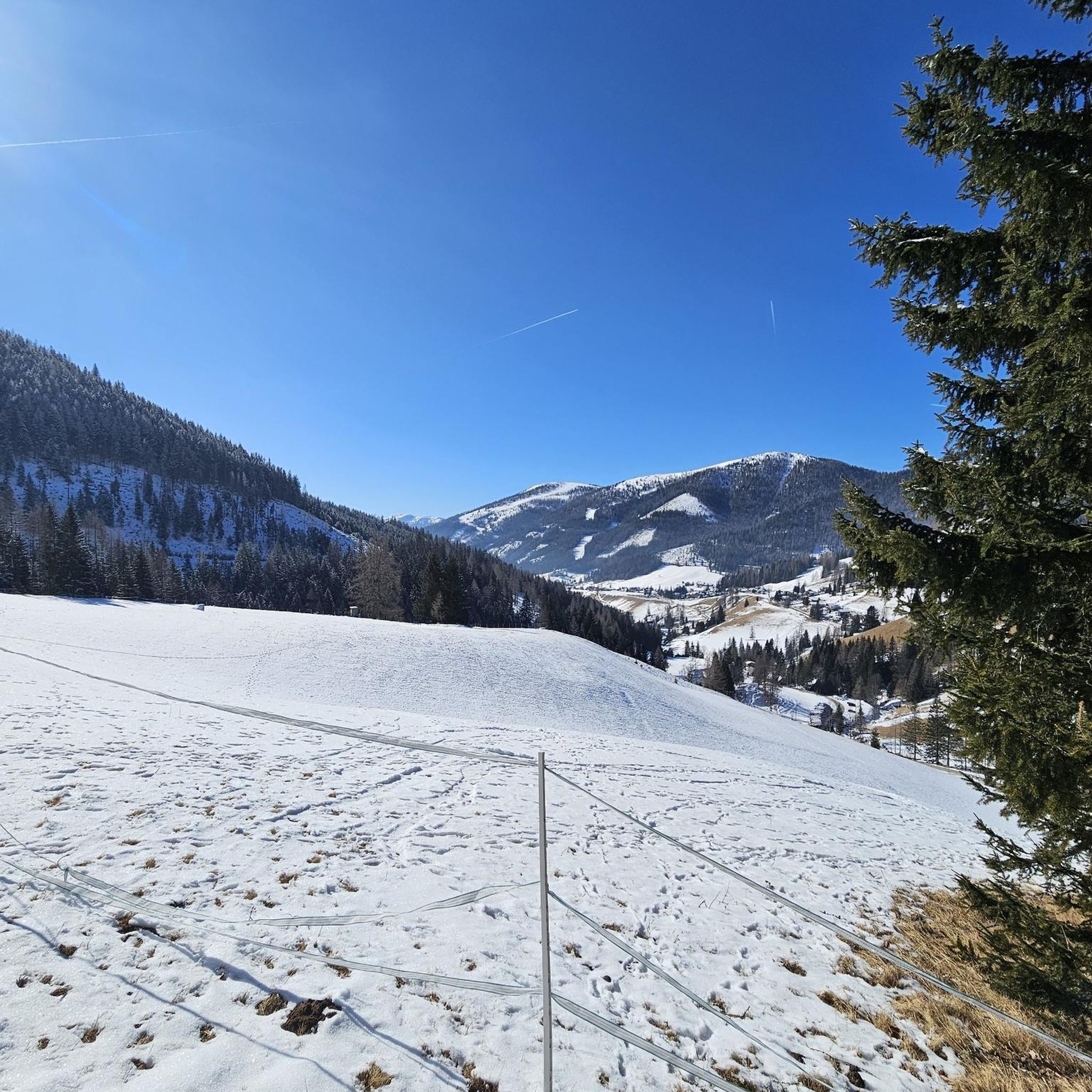
Gravel biking around Ingleby Greenhow
Other adventures around Ingleby Greenhow


Tips from the Community

Just off the Cleveland Way and about halfway between Carr Ridge to the west and Bloworth Crossing to the east, spectacular views all around on a clear day.
1
0

Very hard climb up from Kildale
0
0


That is the Cammon Stone. It dates from the late Neolithic period.
0
0
A great place to park and head out on to the moors. Parking is free and rarely busy with public toilets on site its a perfect spot to begin your exploration of the local area.
1
0

Distance 0.9 miles (from the warning sign at the bottom to the sign at the top). Max Gradient 33%. The bottom part of the climb is gentler but soon it ramps up towards the first, right hand, hairpin; you are then faced almost immediately with a left hand hairpin, the next bit of the climb goes straight up like a wall and is the steepest section - then the climb eases off for the last section.
1
0

Clay Bank Car Park sits just below the top B1257 road. It is a great place to start walks on the moors to the east or the Cleveland Hills to the west. There is also fantastic views from this place.
0
0

The 19th century church was built on the remains of earlier churches (Viking, 10th century, and Saxon, 14th century). It is accessible via a footbridge that crosses the railway line. The highlight is the church window, by the same artist who designed the windows of Westminster Abbey. Great colors and details. It shows scenes from the history and everyday life of Kildale, including a lifelike steam locomotive from the 1850s. Kildale Station can be reached by train from Whitby... and you can take beautiful walks in the national park.
0
0
Frequently Asked Questions
How many mountain bike trails are there around Ingleby Greenhow?
There are over 90 mountain bike trails available around Ingleby Greenhow, offering a wide range of options for different skill levels and preferences. These routes have been explored by over 1200 mountain bikers using komoot.
What kind of terrain can I expect on mountain bike trails near Ingleby Greenhow?
The terrain around Ingleby Greenhow is highly varied, characterized by dramatic moorland, woodlands, and valleys. You'll encounter rocky paths, singletrack, and a mix of farm fields and tracks. The area is nestled at the foot of the Cleveland escarpment, leading up to the expansive North York Moors, which means significant elevations and challenging ascents are common.
Are there mountain bike trails suitable for beginners or families in Ingleby Greenhow?
Yes, Ingleby Greenhow offers a variety of trails, including 17 routes classified as easy. While the region is known for its challenging terrain, there are options for those looking for a less strenuous ride. For family-friendly options, look for routes that avoid steep climbs and technical descents, often found in the woodland areas or along flatter valley sections.
What are some notable viewpoints or natural features to look out for on the trails?
The region boasts several stunning viewpoints and natural features. You can enjoy panoramic views from prominent hills like Round Hill and Carlton Bank. The distinctive rocky outcrop known as The Wainstones offers fantastic vistas across to Middlesbrough and the Tees Valley. The eastern escarpment also leads towards Roseberry Topping Summit, often called the 'Yorkshire Matterhorn', and Captain Cook's Monument on Easby Moor.
Are there any challenging mountain bike routes for experienced riders?
Absolutely. Ingleby Greenhow is well-suited for experienced riders seeking a challenge. There are 10 routes classified as difficult, featuring significant elevation gain and technical sections. An example is the Clay Bank Summit Viewpoint – Cock Rock loop from Broughton Bank SSSI, which is a difficult 27.6 km trail with substantial climbing, requiring good fitness and advanced riding skills.
What do other mountain bikers say about the trails in Ingleby Greenhow?
The mountain bike trails around Ingleby Greenhow are highly rated by the komoot community, with an average score of 4.4 stars from over 100 reviews. Riders often praise the dramatic moorland scenery, the variety of challenging ascents and descents, and the well-integrated network of trails within the North York Moors National Park.
Can I find circular mountain bike routes in the area?
Yes, many of the mountain bike routes around Ingleby Greenhow are designed as loops, allowing you to start and finish in the same location. For example, the Hudson Aircraft Crash Memorial – Skinner Howe Cross Road loop from Kildale is a moderate 22.0 km circular path traversing varied terrain.
Are there any long-distance mountain bike routes available?
For those looking for longer rides, there are several options. The Farndale Railway Gravel Track – View of Farndale loop from Battersby is a substantial 51.4 km trail, typically taking around 4 hours 28 minutes to complete, leading through the scenic Farndale area.
What is the best time of year to go mountain biking in Ingleby Greenhow?
The best time to mountain bike in Ingleby Greenhow is generally during the drier months, from late spring to early autumn (May to October). This avoids the potentially muddy and wet conditions of winter, which can make some trails more challenging. However, the dramatic moorland scenery is beautiful year-round, so check local weather conditions before heading out.
Are there any historical points of interest along the mountain bike trails?
Yes, the area has historical significance. The former industrial railway incline, known as the Ingleby Incline, once used to transport iron ore, is now a steep footpath that can be part of some routes, offering an interesting historical feature. Additionally, the Captain Cook's Monument on Easby Moor is a prominent historical landmark visible from many trails.
Are there mountain bike routes that offer views of the North York Moors?
Many routes provide stunning views of the North York Moors. The View of the North York Moors – View from Clay Bank loop from Broughton Bank SSSI is a moderate 35.6 km route specifically designed to showcase these expansive vistas, offering a great way to experience the region's natural beauty.
What are the elevation gains like on the mountain bike trails?
Given its location within the North York Moors National Park and at the foot of the Cleveland escarpment, mountain bike trails around Ingleby Greenhow often feature significant elevation changes. For example, the Clay Bank Summit Viewpoint – Cock Rock loop involves over 580 meters of ascent, providing a good workout and rewarding views.
Most popular routes around Ingleby Greenhow
Most popular attractions around Ingleby Greenhow

Get inspired with the komoot mobile app


Explore more
Browse the best MTB trails in other regions.
