The best road cycling routes around East Harlsey
4.4
(82)
3,552
riders
211
rides
Road cycling routes around East Harlsey offer a diverse terrain, ranging from the rolling hills and moorland vistas of the North York Moors to the flatter expanses of the Vale of York. The region is characterized by significant elevation gains in areas like the Hambleton Hills, providing challenging climbs for cyclists. Road cyclists can explore both dramatic moorland landscapes and gentler country lanes, with routes often incorporating natural features such as Cod Beck Reservoir.
Best road cycling routes around East…
Last updated: July 8, 2026
Moderate road ride. Good fitness required. Mostly well-paved surfaces and easy to ride.
42
riders
60.2km
02:59
720m
720m
Moderate road ride. Good fitness required. Mostly well-paved surfaces and easy to ride.

Sign up for free
40
riders
Moderate road ride. Good fitness required. Some segments of this route may be unpaved and difficult to ride.
24
riders
32.8km
01:25
130m
130m
Easy road ride. Great for any fitness level. Mostly well-paved surfaces and easy to ride.
16
riders
32.9km
01:23
150m
150m
Easy road ride. Great for any fitness level. Mostly well-paved surfaces and easy to ride.
Get access to more routes and recommendations from other explorers.
Sign up for free
Already have an account?
Our route recommendations are based on thousands of hikes, rides, and runs completed by other people on komoot.
Start today with a free account
Your next adventure awaits.
Login or Signup
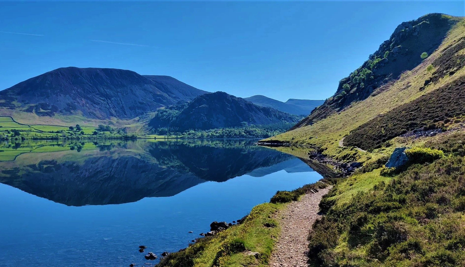
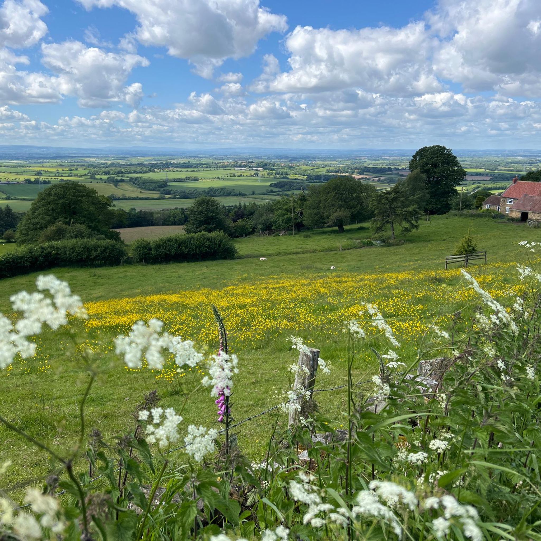
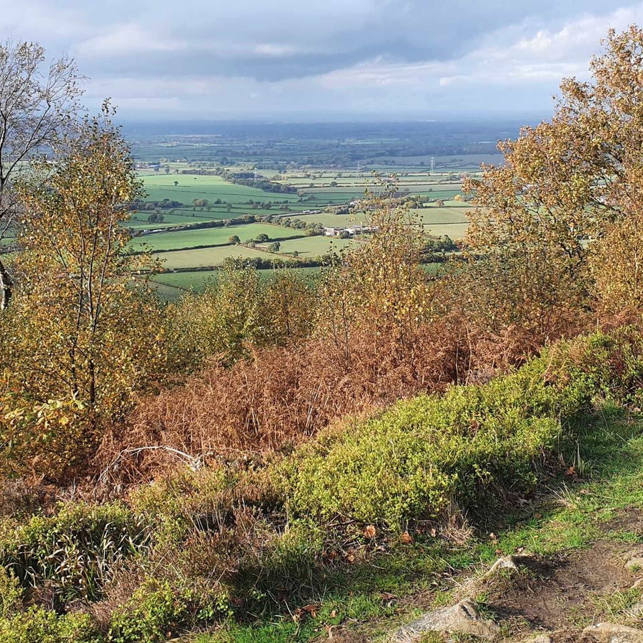
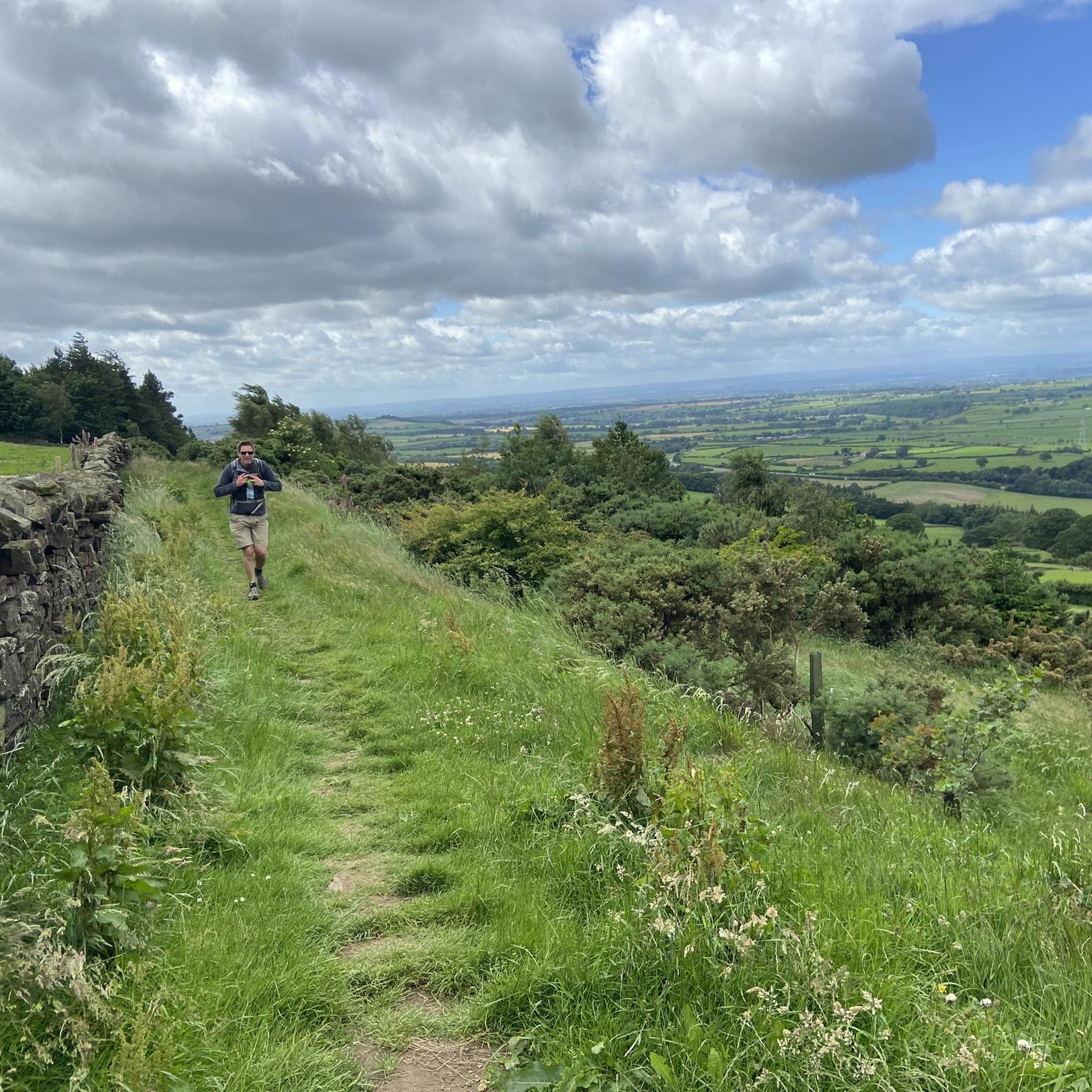
Other adventures around East Harlsey

Tips from the Community

Preston's Pot is a notable cave located near Kettlewell in the Yorkshire Dales National Park, United Kingdom. The area offers a variety of hiking opportunities, including the Providence Pot and Great Whernside loop, which starts from Kettlewell [1]. This intermediate hike spans approximately 5.66 miles and features an elevation gain of about 1,575 feet, making it suitable for hikers with good fitness levels. The trail provides scenic views and passes by Providence Pot, another interesting cave in the region. It's advisable to wear sturdy footwear and be prepared for changing weather conditions, as the terrain can be challenging and the weather unpredictable. Always check local weather forecasts and trail conditions before setting out. [1] https://www.komoot.com/smarttour/e1375948090/providence-pot-and-great-whernside-loop-from-kettlewell-yorkshire-dales-national-park
0
0


A stylish small market town on the River Leven. It is located in the Hambleton district of North Yorkshire.
0
0
The village of Hutton Rudby lies between the North Yorkshire market towns of Yarm and Stokesley and is close to the North York Moors National Park.
0
0

Frequently Asked Questions
How many road cycling routes are available around East Harlsey?
There are over 200 road cycling routes around East Harlsey, catering to various skill levels. This includes 53 easy routes, 146 moderate routes, and 26 difficult routes, offering a wide range of options from gentle country lanes to challenging climbs.
What kind of terrain can I expect when road cycling near East Harlsey?
The terrain around East Harlsey is quite diverse. You'll find rolling hills and dramatic moorland vistas, particularly towards the North York Moors and Hambleton Hills, which offer significant elevation gains. To the west, the flatter expanses of the Vale of York provide easier, well-paved road cycling options.
Are there any family-friendly road cycling routes in the East Harlsey area?
Yes, the region offers easier, well-paved road cycling options suitable for families, especially in the flatter Vale of York areas. Routes like the Picton Dash – Picton loop from Welbury, an easy 32.8 km ride, provide a good starting point for family outings.
What are some scenic viewpoints or natural features to look out for on road cycling routes?
Many routes offer stunning views. The Carlton Bank Summit Trig Point provides breathtaking views of the North York Moors. You might also pass by the tranquil Cod Beck Reservoir, a Site of Specific Scientific Interest surrounded by moorland and woodlands. Other notable viewpoints include the View from Beacon Hill Summit and the Alec Falconer Memorial and View of the Cleveland Plain.
Are there any historical or cultural landmarks I can visit while cycling?
Absolutely. The historic ruins of Mount Grace Priory, a significant medieval Carthusian monastery, are located nearby and can be incorporated into your cycling excursions for a cultural stop.
What do other road cyclists say about the routes around East Harlsey?
The road cycling routes around East Harlsey are highly rated by the komoot community, with an average score of 4.4 stars from over 70 reviews. Cyclists often praise the varied terrain, from challenging climbs to scenic country lanes, and the stunning natural beauty of the North York Moors.
Are there any long-distance cycling networks accessible from East Harlsey?
Yes, East Harlsey provides access to extensive networks. The 171-mile North York Moors Cycleway utilizes quieter roads and passes many landscape highlights. Additionally, sections of the 150-mile Moor to Sea Cycle Network, which uses quiet roads, are suitable for road cyclists looking to explore the national park.
Where can I find cafes or pubs along road cycling routes in the area?
Osmotherley Village, a small village often included in cycling routes, offers amenities like a café and a pub, making it a good stop for refreshments. Routes like the Roots Farm Shop & Café – Whitegates Nursery Café loop from East Rounton also highlight places for a break.
What is the best time of year for road cycling in East Harlsey?
The region is generally enjoyable for road cycling from spring through autumn. While specific weather patterns vary, these seasons typically offer more favorable conditions for exploring both the challenging moorland climbs and the gentler country lanes.
Are there any circular road cycling routes starting near East Harlsey?
Yes, many routes are designed as loops. For example, the Stokesley–Seamer Connector – Hutton Rudby Village loop from Ingleby Arncliffe is a moderate 38.1 km circular route that takes you through scenic villages.
What are some challenging road cycling routes for experienced riders?
Experienced riders seeking a challenge will find routes with significant elevation gains in the North York Moors. The North York Moors Cycleway: 6a Osmotherley to Rosedale Abbey is a moderate 51.2 km route with substantial climbing, and the Clay Bank Descent – Carlton Bank Climb loop from Cod Beck Reservoir includes notable ascents like Carlton Bank.
Is there public transport access to cycling routes around East Harlsey?
While East Harlsey itself is a village, the broader North Yorkshire region has some public transport links. However, for direct access to specific cycling routes, it's often more convenient to travel by car to a starting point, especially for routes venturing into the more remote parts of the North York Moors.
Most popular attractions around East Harlsey

Get inspired with the komoot mobile app


Explore more
Browse the best Road cycling routes in other regions.
