The best walks and hikes around Dalby-Cum-Skewsby
4.4
(499)
3,220
hikers
229
hikes
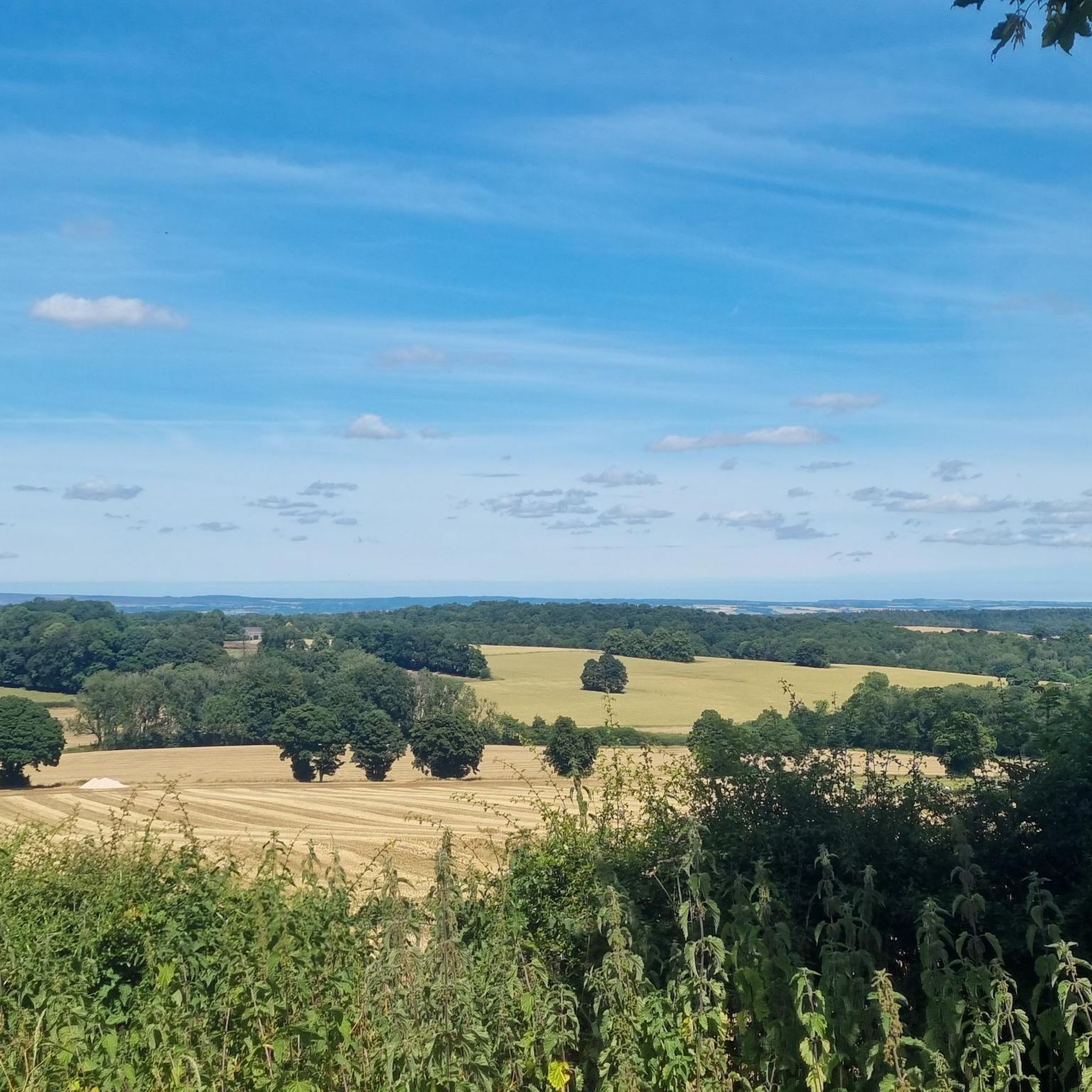
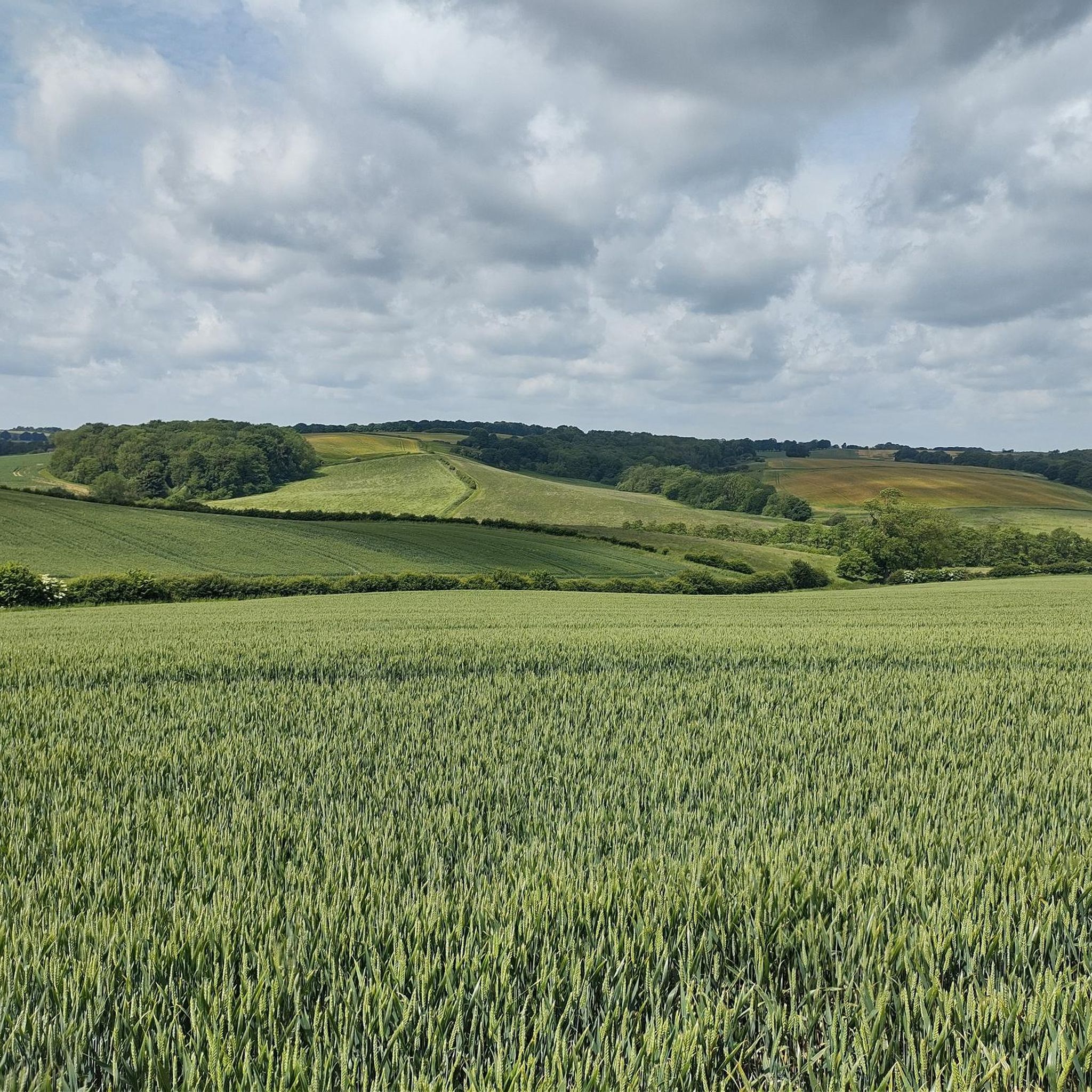
Hiking around Dalby-Cum-Skewsby offers a network of trails through varied landscapes. The region is characterized by rolling hills, woodlands, and agricultural land, particularly within the Howardian Hills Area of Outstanding Natural Beauty. Trails often pass by historical sites and offer views of the surrounding countryside. The terrain generally includes gentle ascents and descents, suitable for a range of hiking abilities.
Best hiking trails around Dalby-Cum-Skewsby
- The most popular hiking route is Sittenham Wood and Sheriff Hutton Castle loop from Sheriff…
Last updated: July 7, 2026
4.0
(11)
20
hikers
Hike a moderate 8.9-mile loop through the Howardian Hills, exploring Sittenham Wood and the historic Sheriff Hutton Castle ruins.
4.6
(5)
25
hikers
9.37km
02:32
130m
130m
Embark on the Centenary Way and Terrington Loop, a moderate hiking route that takes you through the diverse landscapes of the Howardian Hills. You'll cover 5.8 miles (9.4 km) and…

Sign up for free
11
hikers
Moderate hike. Great for any fitness level. Mostly accessible paths. Sure-footedness required.
4.3
(3)
5
hikers
18.6km
05:04
270m
270m
Hike a difficult 11.6-mile loop through the Howardian Hills, visiting the City of Troy Turf Maze and fragrant Yorkshire Lavender Farm.
4.0
(3)
5
hikers
11.7km
03:07
130m
130m
Hike the moderate 7.3-mile Snargate Hill and City of Troy loop from St Peter's Church, exploring the Howardian Hills and a turf maze.
Get access to more routes and recommendations from other explorers.
Sign up for free
Already have an account?
Our route recommendations are based on thousands of hikes, rides, and runs completed by other people on komoot.
Start today with a free account
Your next adventure awaits.
Login or Signup
Tips from the Community

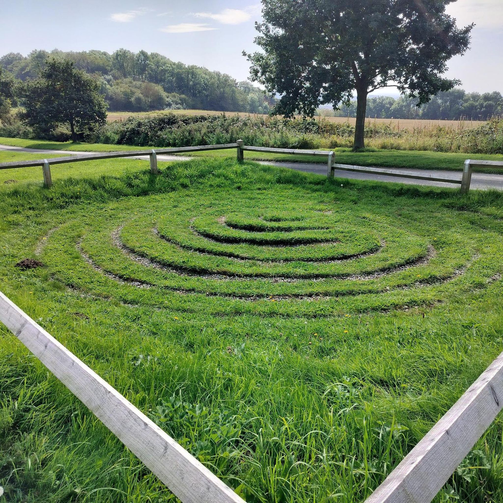
One of only a few such mazes left in the country and the only one in Yorkshire.
0
0

Cautionary tale for those taking the Coulton - Swathgill - Potter Hill Farm public footpath: I travelled west from Coulton in May and the footpath immediately to the west of the main road in Coulton is heavily overgrown with nettles, even wearing long trousers I got quite a few stings. Undeterred, I pushed on and the footpath is not marked as it transits the massive field to the west of Coulton (I simply walked along the tractor tramlines through the middle of the crops, so didn't trample them), then the section of footpath running from east to west just south of Swathgill is heavily overgrown with brambles and nettles (see photos), and very narrow as it descends down a small hill, the fence at the side of the footpath is dilapidated in parts, meaning wire trails (hidden) through the undergrowth. Other than that it's brilliant!!!
0
0

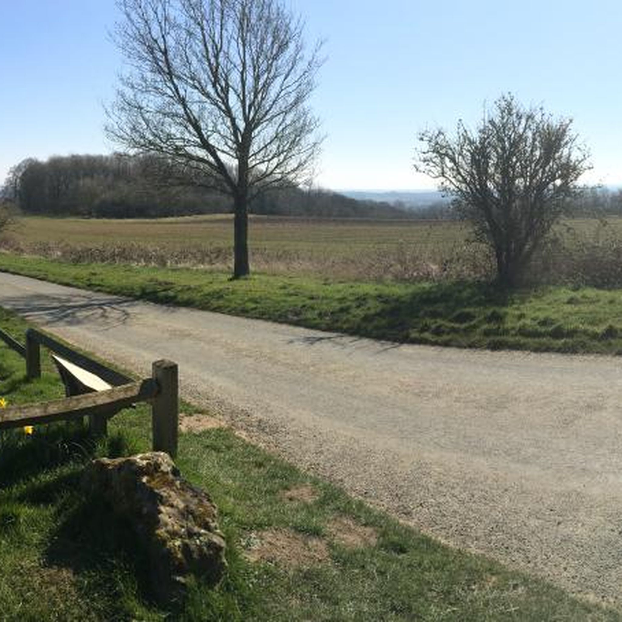
Worth stopping on your ride here - this is a gem! "City of Troy" here is the only surviving instance (in North Yorkshire) of an ancient game. A similar name is given to these kinds of maze games in Scandinavia (Trojeborg = Troy Town), which shows early association between these parts of the world. There is a plaque with further information here as well as a bench to rest on to enjoy this place. The views are also quite lovely, particularly down the Bonnygate Lane road.
0
0
"City of Troy" here is the only surviving instance (in North Yorkshire) of an ancient game. A similar name is given to these kinds of maze games in Scandinavia (Trojeborg = Troy Town), which shows early association between these parts of the world. There is a plaque with further information here, as well as a bench to rest on to enjoy this place after. The views are also quite lovely, particularly down the Bonnygate Lane road.
1
0
A beautiful building just off the road here. An old windmill that underwent some renovation a few years back, and has been converted into accommodation. In a wonderful spot, you can imagine the fantastic views you would get from the top!
1
0
You're passing the Birkdale Farm Fishing Ponds here, visible only from certain spots, though, as a lot of the time trees block the view. It's a lovely part of the world: it feels very much away from everything else in the world, and is very impressively green. Suddenly, the world seems to just come to a standstill, and it's just you and the natural world. I absolutely loved walking through here.
1
0
This castle - well, its ruins - dates back to the 12th century when it was built by Bertram de Bulmer as a motte and bailey castle. It had a long history, and changed hands on a number of occasions. After 1547, the castle was occupied only periodically, and started going into decline. Nowadays, the castle is on private land, and you would need to contact the landowner to get access to the interior, but the public footpath gives excellent views of it, which is sufficient for most.
1
0
A lovely segment here down (or up from) Ganthorpe, with some picturesque ponds just outside Ganthorpe. There are pleasant views of Owlers Wood (east) and Cum Hag Wood (north-east) on this walk. A perfect stroll on your next weekend.
1
0
Frequently Asked Questions
How many hiking trails are available in the Dalby-Cum-Skewsby area?
Dalby-Cum-Skewsby offers a wide selection of hiking routes, with over 230 trails recorded on komoot. These range from easy strolls to more challenging long-distance paths, catering to various fitness levels.
Are there easy hiking routes suitable for beginners or families in Dalby-Cum-Skewsby?
Yes, the region has nearly 100 easy routes, many of which are suitable for beginners or families. These trails often feature gentle terrain through woodlands and agricultural land. For a moderate option that's not too long, consider the All Saints' Church and Birkdale Farm Fishery loop from Terrington, which is about 7.4 km.
What kind of challenging trails can I find in Dalby-Cum-Skewsby?
For those seeking a challenge, Dalby-Cum-Skewsby offers 12 difficult routes. These trails typically cover longer distances and may include more varied terrain. An example is the City of Troy and Yorkshire Lavender Farm loop from Dalby, which spans over 18 km and features diverse landscapes.
Are there any circular walks in Dalby-Cum-Skewsby?
Many of the hiking routes in Dalby-Cum-Skewsby are circular, allowing you to start and end at the same point. The Centenary Way and Terrington Loop is a popular moderate circular trail, covering about 9.4 km through rural landscapes.
What are some scenic viewpoints or natural attractions to look out for on the trails?
The region is part of the Howardian Hills AONB, offering many scenic views. You can find natural monuments like Pretty Wood, King's Oak and the Four Faces Monument, or enjoy the tranquility of Higher Fish Pond in Yearsley Woods. Many trails also offer expansive views of the rolling hills and agricultural land.
Are there historical sites or landmarks to explore while hiking?
Yes, Dalby-Cum-Skewsby is rich in history. Hikers can discover sites such as the impressive Castle Howard, the atmospheric Kirkham Priory Ruins, or the unique Temple of the Four Winds. The Sittenham Wood and Sheriff Hutton Castle loop specifically passes a historic castle.
What do other hikers enjoy most about the trails in Dalby-Cum-Skewsby?
The area is highly rated by the komoot community, with an average score of 4.4 stars from over 440 reviews. Hikers often praise the varied landscapes, the peaceful woodlands, and the well-maintained paths that offer a mix of historical interest and natural beauty.
Is Dalby-Cum-Skewsby a good place for winter walking?
While the region's rolling hills and woodlands offer beauty year-round, winter conditions can make some trails muddy or slippery. It's advisable to check local weather forecasts and trail conditions before heading out, and wear appropriate waterproof footwear. Many of the moderate routes remain accessible, but some exposed sections might be windier.
Are there any trails that pass by cafes or places to eat?
Many villages within and around Dalby-Cum-Skewsby, such as Terrington or Sheriff Hutton, offer local pubs or cafes where you can refuel. While specific trails might not directly pass a cafe, planning your route to include a stop in one of these villages is often possible. Always check opening times, especially in quieter seasons.
What is the best time of year to go hiking in Dalby-Cum-Skewsby?
Spring and summer are particularly popular for hiking in Dalby-Cum-Skewsby, when the wildflowers are in bloom and the weather is generally milder. Autumn offers beautiful foliage in the woodlands. While hiking is possible year-round, some paths can become muddy in wetter months, so appropriate footwear is always recommended.
What are the typical terrain conditions for hiking in Dalby-Cum-Skewsby?
The terrain in Dalby-Cum-Skewsby is characterized by rolling hills, ancient woodlands, and open farmland. You can expect a mix of well-defined paths, bridleways, and some country lanes. While there are gentle ascents and descents, most routes are not overly steep, making them accessible for a range of abilities.
Most popular attractions around Dalby-Cum-Skewsby

Get inspired with the komoot mobile app


Explore more
Browse the best Hikes in other regions.
