The best walks and hikes around Cotcliffe
4.5
(440)
3,896
hikers
109
hikes
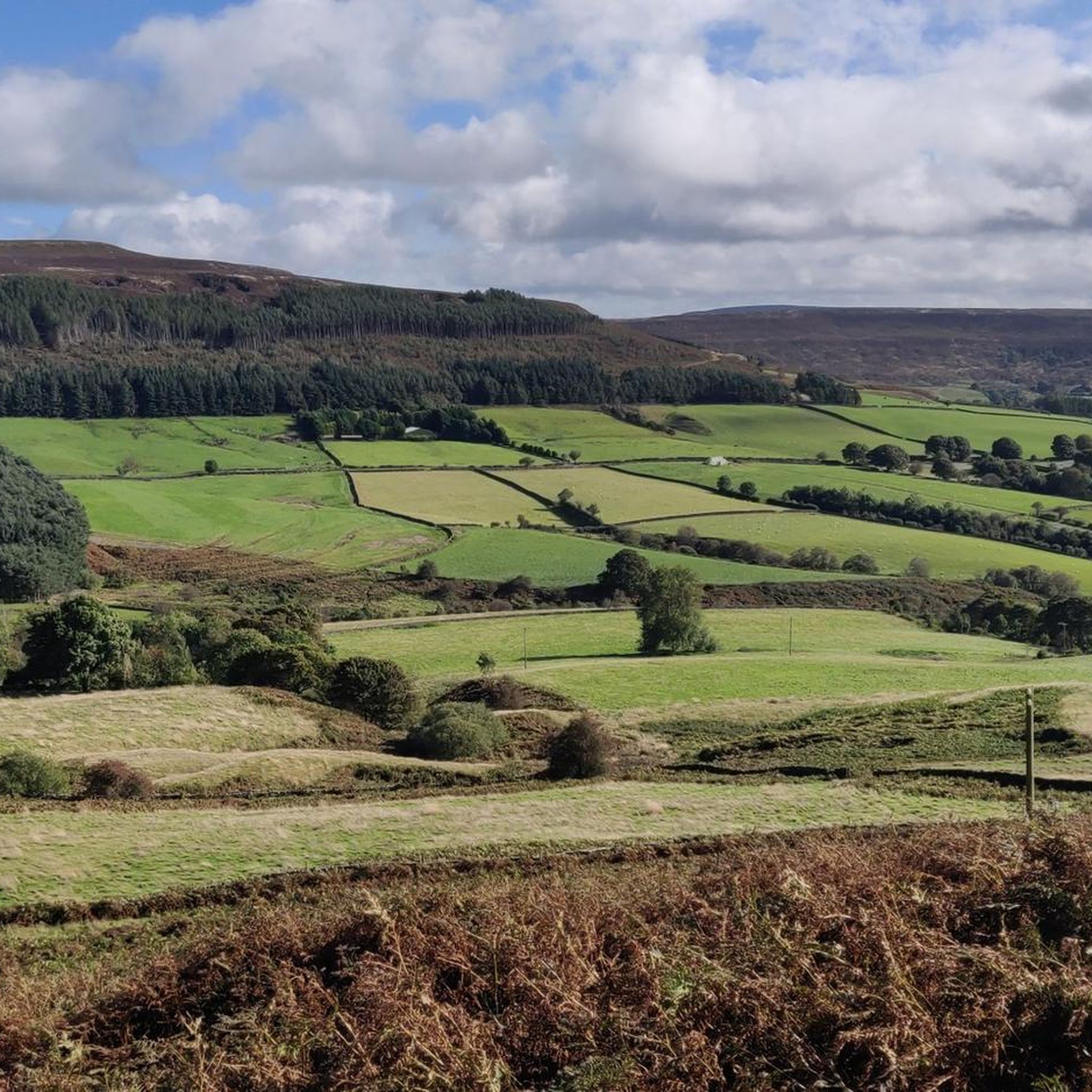
Hikes around Cotcliffe explore the rolling hills and gentle escarpments of North Yorkshire. The terrain is characterized by a mix of quiet country lanes, open fields, and sections of woodland, including Cotcliffe Wood. Many routes provide elevated views across the Vale of Mowbray and feature paths that descend into the valley of the Cod Beck.
Best hiking trails around Cotcliffe
- The most popular hiking route is Black Hambleton Summit Cairn – View of White Gill Head loop from Nether Silton…
Last updated: October 11, 2026
4.8
(9)
78
hikers
Moderate hike. Good fitness required. Easily-accessible paths. Suitable for all skill levels.
5.0
(9)
55
hikers
Moderate hike. Good fitness required. Easily-accessible paths. Suitable for all skill levels.

4.3
(7)
37
hikers
10.2km
02:59
270m
270m
Moderate hike. Good fitness required. Easily-accessible paths. Suitable for all skill levels.
5.0
(2)
21
hikers
8.05km
02:19
190m
200m
Moderate hike. Good fitness required. Easily-accessible paths. Suitable for all skill levels.
5.0
(3)
15
hikers
9.73km
02:53
290m
290m
Moderate hike. Good fitness required. Easily-accessible paths. Suitable for all skill levels.
Get access to more routes and recommendations from other explorers.
Already have an account?
Our route recommendations are based on thousands of hikes, rides, and runs completed by other people on komoot.
Start today with a free account
Your next adventure awaits.
Tips from the Community

Stayed at one of the local pubs, was good but their internet connection was non-existent, had to pay for a 24hr hotspot with EE
0
0

One of three pubs in the village of Osmotherly.
1
0

Would of been some view but fog was in today
0
0
Limekiln house 19th century inn..only bumps left today unfortunately
0
0

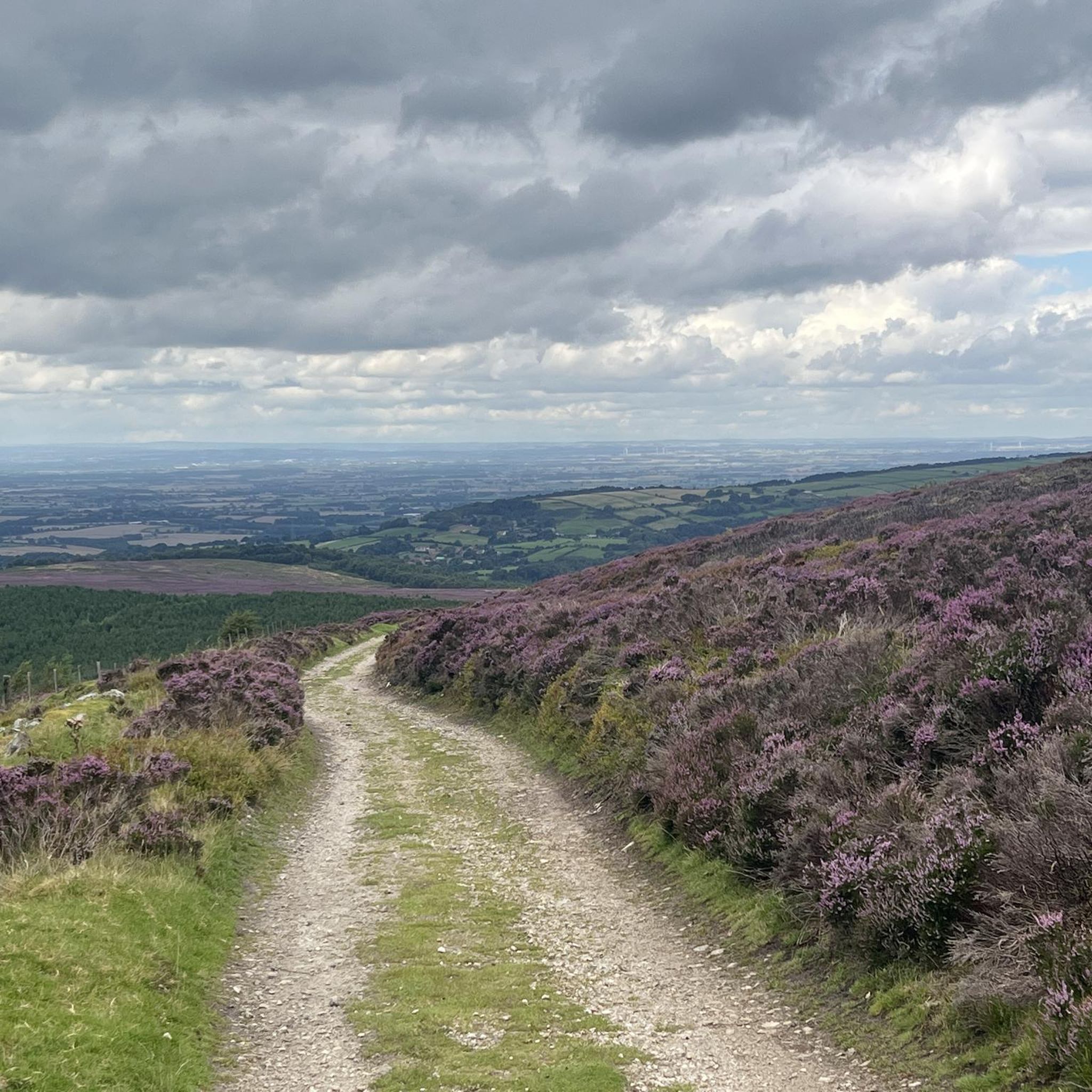
Car park at Square Corner, get there early or it will be full. Great track up the side of Black Hambleton where you can access Arden Great Moor, or simply keep going south towards Sneck Yate. Awesome views from the top.
1
0
Quintessential North Yorkshire village, very picturesque with good amenities and access points to the northwest of the NYM National Park. However, can be very congested with cars so parking is difficult. Drive north and park at Cod Beck Reservoir, then add Osmotherley to your hiking route. Lots of roads and public footpaths to choose from.
1
0
Left for the local wildlife, this reservoir's banks can be quite overgrown in summer, making it difficult to see.
1
0
Frequently Asked Questions
What is the hiking terrain like around Cotcliffe?
The terrain is classic North Yorkshire countryside. Expect a mix of quiet country lanes, public footpaths across open fields often connected by stiles, and peaceful woodland trails. Many routes involve a gentle ascent to an escarpment like Cotcliffe Bank, which offers expansive views, before descending into the valley of the Cod Beck.
Are the trails around Cotcliffe difficult?
Most trails in the area are considered moderate. While there are some easier options, the majority of the 69 moderate routes involve some elevation gain to reach viewpoints. There are also a handful of more challenging hikes for those seeking a tougher day out. It's best to check the difficulty of a specific route before you go.
Can I bring my dog on hikes around Cotcliffe?
Yes, dogs are generally welcome on the trails, but you'll be hiking through agricultural land. Expect to encounter livestock, so it's essential to keep your dog on a lead, especially in fields with sheep or cattle. You will also need to navigate stiles on many routes, which might be tricky for larger dogs.
Are there any family-friendly walks near Cotcliffe?
Yes, there are over 30 easy walks in the area suitable for families. These routes typically follow gentler gradients and avoid the steeper climbs. Look for shorter circular walks that explore the woodlands or follow the Cod Beck for a pleasant outing with children.
Where can I find a good circular walk?
Circular walks are very common around Cotcliffe. A great example is the View of White Gill Head – Black Hambleton Summit Cairn loop from Kepwick. This route provides a comprehensive experience of the local landscape, including rewarding views from the summit, without needing to retrace your steps.
How many hiking trails are there around Cotcliffe?
You can explore over 110 different hiking routes around Cotcliffe. The network of public footpaths offers a wide variety of options, from short, easy strolls to more demanding all-day hikes, ensuring there's a trail for every ability level.
What do other hikers think of the routes around Cotcliffe?
The area is highly regarded by the komoot community, with an average rating of 4.7 out of 5 stars. Hikers often praise the stunning views across the Vale of Mowbray, the peaceful woodland sections, and the classic English countryside scenery.
Are there any pubs or cafes on the walking routes?
The hamlet of Cotcliffe itself is very small and doesn't have its own pub. However, many trails start from or pass through nearby villages like Osmotherley, Nether Silton, or Thimbleby, where you can find traditional pubs for refreshments after your hike. For example, the Osmotherley Village – Upper Oakdale Reservoir loop from Nether Silton conveniently passes through Osmotherley.
Is it possible to get to the trails by public transport?
Accessing the trailheads directly by public transport is challenging due to the rural nature of the area. The nearest major town with a train station is Northallerton. From there, you would likely need to take a taxi to a starting point like Borrowby or Osmotherley. Driving is the most practical way to reach the hikes.
Where is the best place for parking?
There is no official car park in the tiny hamlet of Cotcliffe. Most hikers find informal roadside parking in nearby villages like Nether Silton, Over Silton, or Kepwick, which serve as popular starting points for many circular routes. Always park considerately and do not block access for residents or farm vehicles.
Can I access the Cleveland Way from Cotcliffe?
Yes, the Cleveland Way National Trail runs nearby. You can connect to it from trails starting in the Cotcliffe area, particularly those that head towards the popular village of Osmotherley, which is a key point along the Cleveland Way.
What are the best spots for scenic views?
The main viewpoint is Cotcliffe Bank, which offers sweeping panoramas across the Vale of Mowbray towards the Pennines. For another excellent vista, routes that ascend Black Hambleton are highly recommended, providing some of the most dramatic views in the region. The nearby Howardian Hills National Landscape is also a well-regarded area known for its beautiful rolling scenery.
Most popular attractions around Cotcliffe

Get inspired with the komoot mobile app


Explore more
Browse the best Hikes in other regions.
