The best walks and hikes around Kirkby Malham
4.6
(2480)
18,250
hikers
344
hikes
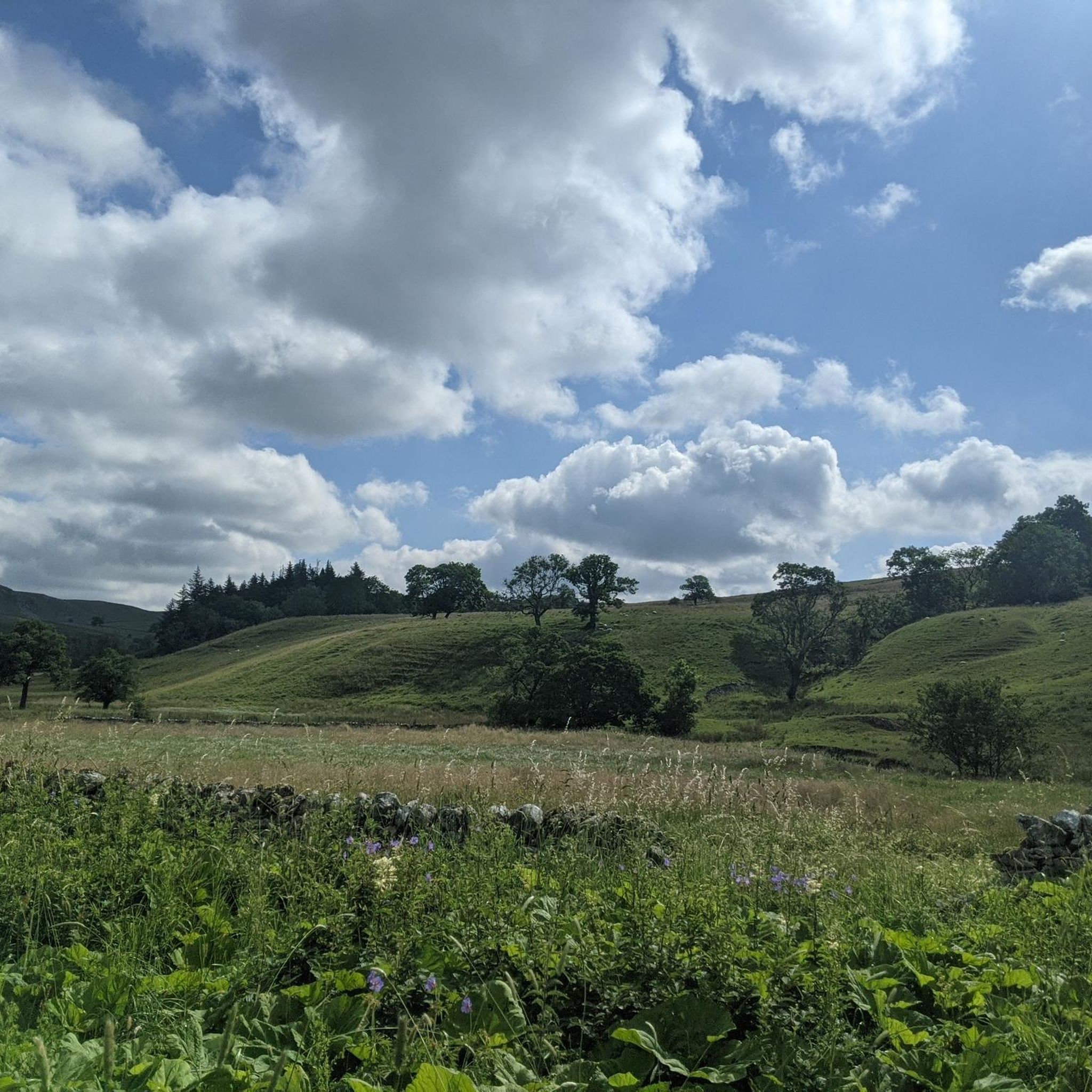
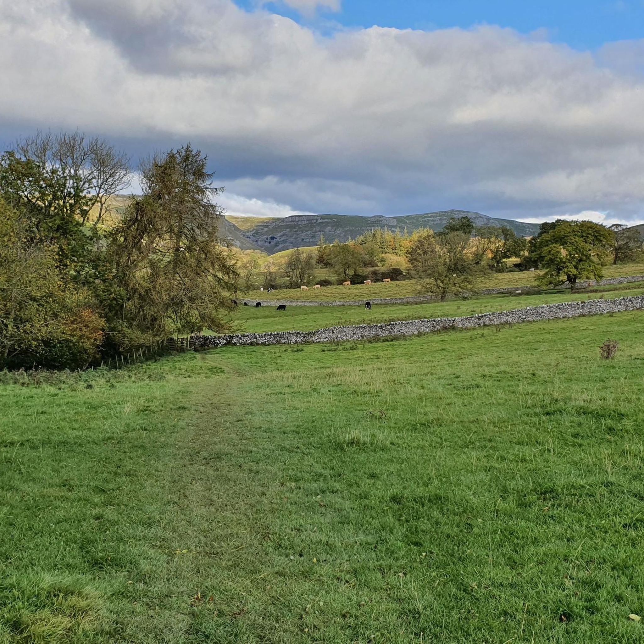
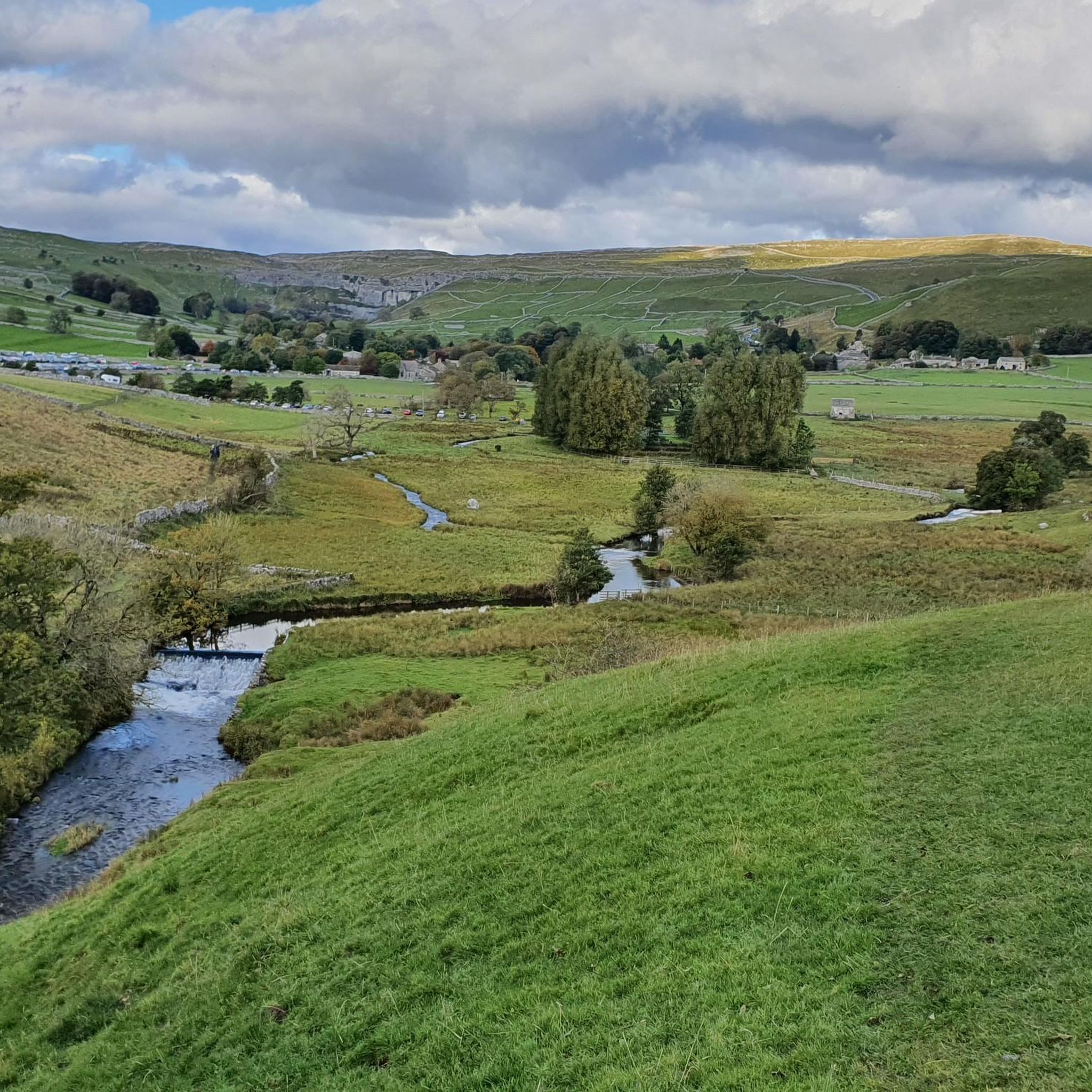
Hikes around Kirkby Malham explore the distinctive landscape of the Yorkshire Dales National Park. The region is characterized by its limestone geology, which has formed features such as large cliffs, deep gorges, and expansive limestone pavements. The walking routes navigate through a classic Dales scenery of green pastures, rolling hills, and a network of drystone walls.
Best hiking trails around Kirkby Malham
- The most popular hiking route is the Malham Cove and Gordale Scar loop from Malham, a 4.9 mile (7.8 km) trail that takes about 2 hours 20 minutes to complete. This circular walk connects two of the area's most significant geological formations.
- Another top favourite among local hiking enthusiasts is the Gordale Scar, Malham Tarn & Malham Cove loop, a difficult 6.9 mile (11.1 km) path. This longer route adds a section around Malham Tarn, England's highest natural lake.
- Local hiking enthusiasts also love the Janet's Foss – Gordale Scar Waterfall loop from Malham, a 3.7 mile (6.0 km) trail leading through woodland to a waterfall, often completed in about 1 hour 45 minutes.
- Hiking around Kirkby Malham is defined by its dramatic limestone gorges, high cliffs, and serene waterfalls. The network of trails offers a variety of walking routes in the Yorkshire Dales for different ability levels.
- The routes in Kirkby Malham are highly rated by the komoot community with an average score of 4.7 stars from over 2,100 reviews. More than 17,000 hikers have used komoot to explore Kirkby Malham's varied terrain.
Last updated: September 28, 2026
4.8
(416)
3,685
hikers
This difficult 4.9-mile (7.8 km) hike, with 678 feet (207 metres) of elevation gain, takes about 2 hours and 19 minutes to complete. You will explore the dramatic limestone landscapes of the Yorkshire Dales, passing iconic features like the towering Malham Cove and the impressive Gordale Scar. The route features varied terrain, from tranquil woodland paths to rocky sections and the unique limestone pavement at the top of Malham Cove, offering panoramic views of the surrounding Dales.
Begin your hike from Malham village, where you can find toilets and other amenities. The trail is mostly dog-friendly, but keep your dog on a lead near livestock, and be aware that the scramble at Gordale Scar might not be suitable for all dogs; an alternative route is available to bypass it. You should check weather conditions before you go, as the limestone pavement can be slippery when wet. Spring and summer offer pleasant weather and wildflowers, making them ideal times to visit.
This loop is a classic in the Yorkshire Dales, celebrated for its unique geological features and diverse natural beauty. Malham Cove, an iconic amphitheater-shaped cliff, was formed by glacial meltwater over 12,000 years ago, and its distinctive limestone pavement is a result of thousands of years of erosion. You might recognize Malham Cove from its appearance in *Harry Potter and the Deathly Hallows: Part 1*. The optional scramble at Gordale Scar adds an adventurous element if you are seeking a greater challenge.
4.8
(209)
1,267
hikers
11.1km
03:17
200m
200m
Embark on the Malham Cove, Gordale Scar and Malham Tarn Circular, a challenging 6.9-mile (11.1 km) hike through the stunning Yorkshire Dales. This route guides you past the picturesque Janet's Foss waterfall before leading you to the dramatic towering cliffs of Gordale Scar. You will gain 666 feet (203 metres) of elevation over approximately 3 hours and 17 minutes, experiencing both tranquil landscapes around Malham Tarn and the unique limestone pavement of Malham Cove.
This trail is considered difficult, particularly the scramble up the waterfall at Gordale Scar. If you prefer to avoid this section, especially when it's wet and potentially slippery, an alternative route is available. Remember to wear appropriate footwear and exercise caution when walking across the uneven limestone pavement at Malham Cove, as conditions can be tricky, especially after rain.
The Malham Cove, Gordale Scar and Malham Tarn Circular offers a unique blend of geological wonders and serene natural beauty. You will encounter some of the finest limestone scenery in the Yorkshire Dales, from the impressive glacial lake of Malham Tarn to the awe-inspiring natural amphitheater of Malham Cove. This popular circular walk provides a memorable adventure for those seeking a demanding yet rewarding outdoor experience.

4.8
(20)
187
hikers
13.2km
04:02
430m
430m
Get ready for a challenging hike through the dramatic Yorkshire Dales landscape on the Pikedaw Hill and Gordale Scar loop. You will navigate varied and rugged terrain, including climbs across moorland and unique limestone pavements. The highlight is Gordale Scar, a towering gorge with sheer rock walls and cascading waterfalls that demands sure-footedness. From Pikedaw Hill, you will earn exceptional panoramic views over Malhamdale. This difficult 8.2-mile (13.2 km) route involves 1419 feet (433 metres) of elevation gain and typically takes around 4 hours and 2 minutes to complete.
This is a hard hike, so you should have good fitness, sure-footedness, and sturdy shoes. Be prepared for a challenging section through Gordale Scar, which can involve a scramble up water-worn rock. You can find parking and other amenities in Malham village, which serves as the starting point for the loop. Always check local conditions before you head out.
The route offers more than just the dramatic Gordale Scar; you will also encounter the striking limestone pavement at Malham Cove. This unique geological feature adds another layer of interest to the varied landscape. The trail also passes near the picturesque Janet's Foss, a beautiful waterfall nestled in a wooded area, making it a popular choice for exploring the region's natural wonders.
4.7
(6)
48
hikers
Hard hike. Good fitness required. Sure-footedness, sturdy shoes and alpine experience required.
4.6
(21)
140
hikers
4.55km
01:18
110m
100m
Easy hike. Great for any fitness level. Easily-accessible paths. Suitable for all skill levels.
Get access to more routes and recommendations from other explorers.
Already have an account?
Our route recommendations are based on thousands of hikes, rides, and runs completed by other people on komoot.
Start today with a free account
Your next adventure awaits.
Tips from the Community


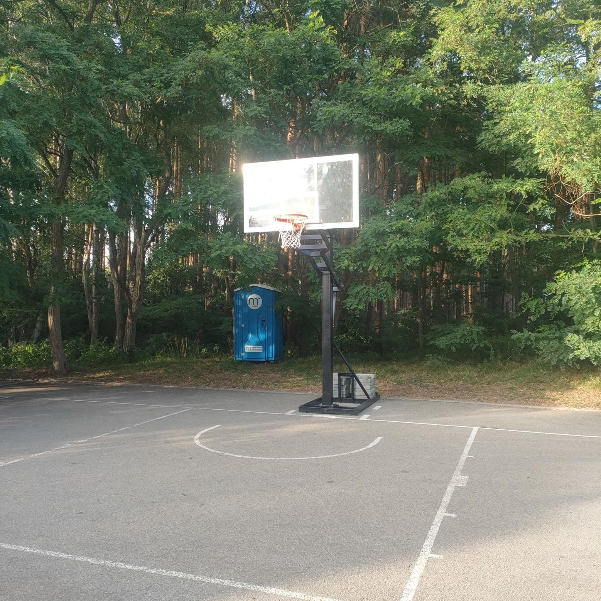
Make sure you remember some money, half way round the standard malham cove/janets foss walk is this gem!
0
0

Where the scene in Harry Potter was filmed where Harry and Hermione sat in the Deathly Hallows. Harry & Hermione set up camp in a tent on the Limestone Pavement at the top of Malham Cove, scenes from the film feature views across Malhamdale including the view to Cawden and down to Malham Village and Kirkby Malham. There is amazing views from this point over the scarred landscape. Malham Cove is a 70m (230ft) high curved crag of carboniferous limestone formed after the last ice age. Meltwater, particularly from Malham Tarn, cut back the cove as it fell over the edge as a waterfall. This erosion took place more actively at the lip of the fall, hence the curved shape. The cove was formed by glaciers that plucked rock from the cliff face and carried it away, and by meltwater that eroded the cliff face after the glaciers melted. The top of the cove is a limestone pavement with a distinctive pattern of limestone blocks called clints and fissures called grykes. The grykes have a more humid and warmer microclimate than the pavement, which supports different plant life. The top of the limestone has dry, stony conditions that support plants like Rock Rose and Thyme. Malham Cove once had a waterfall that was larger than Niagara Falls. The last time water flowed over the waterfall was in the 19th century, until extreme rain in 2015. Malham Cove is a short walk from the village of Malham, and is popular with rock climbers. Malham Cove has been featured in several films and TV shows, including Wuthering Heights, the previously mentioned Harry Potter and the Deathly Hallows, and The Trip.
1
0
Mixed terrain riverside walk - mix of tree roots, mud and board walk.
0
0

Malham Cove is a large curved limestone formation a short walk from the village of Malham. It was formed by a waterfall carrying meltwater from glaciers at the end of the last Ice Age. Easy access to the cove from Malham and there are steps to the side of the cove which allow you to climb to the top. Careful very slippery at the top when on the limestone pavement in wet conditions.
1
0

Good path to follow nice and easy
0
0
Frequently Asked Questions
Are there many circular walks starting near Kirkby Malham?
Yes, circular routes are very common in the area. They are a great way to experience the varied landscape of the Yorkshire Dales without retracing your steps. Many trails are designed to link key landmarks like Malham Cove, Gordale Scar, and Janet's Foss in a single loop starting from the village of Malham.
What are the options for easy, family-friendly walks?
For a gentle walk that's great for families, the trail to Janet's Foss is an excellent choice. It's a relatively short and accessible path through a lovely woodland setting leading to a picturesque waterfall. The area at the base of Malham Cove is also fairly flat and offers impressive views of the cliff face without the strenuous climb.
Can I bring my dog on the hiking trails?
Dogs are welcome on many trails, but it's important to be mindful of the landscape. The Yorkshire Dales is farming country with livestock often grazing in fields, so you'll need to keep your dog on a lead. The National Trust Malham Tarn Estate is a popular area for dog walkers, but be aware of ground-nesting birds and sheep, especially during lambing season (spring).
Where can I find a good waterfall walk?
The area is famous for its waterfalls. The Janet's Foss – Gordale Scar Waterfall loop from Malham is a fantastic option that takes you to two distinct water features: the enchanting Janet's Foss in its woodland glade and the dramatic, powerful waterfall within the Gordale Scar gorge.
Are there any particularly challenging hikes for experienced walkers?
Yes, for those seeking a more strenuous day out, the Pikedaw Hill and Gordale Scar loop offers a significant challenge with over 430 meters of elevation gain. This route provides expansive views and a tougher climb than the more common valley-floor walks.
What should I wear for hiking in the Yorkshire Dales?
The weather in the Dales can change very quickly, so layering is key. Always bring a waterproof and windproof jacket, even on a sunny day. Sturdy, waterproof hiking boots with good grip are essential, as paths can be rocky, uneven, and muddy. The limestone pavement on top of Malham Cove can be particularly slippery when wet.
Where is the best place to park for the Malham walks?
The main starting point for most of the popular walks is the village of Malham. There is a large Yorkshire Dales National Park Authority car park there. It is a pay-and-display car park and can get very busy, especially on weekends and holidays, so arriving early is highly recommended.
Can I get to the Kirkby Malham area using public transport?
Accessing the area by public transport can be challenging as services are infrequent and may not run daily, particularly outside of the main summer season. It is generally best to check local bus schedules from larger towns like Skipton in advance. For the most flexibility, arriving by car is recommended.
Are there any long-distance footpaths that pass through the area?
Yes, a significant section of the Pennine Way, one of the UK's most famous long-distance trails, runs directly through the Malhamdale landscape. You can walk a portion of it by hiking from Malham, past the Cove and Malham Tarn, experiencing a classic stretch of this iconic route.
What do other hikers think of the trails around Kirkby Malham?
The region is highly regarded by the komoot community, with an average rating of 4.7 stars from over 2,100 reviews. Hikers frequently praise the spectacular geological formations like Malham Cove and Gordale Scar, as well as the well-maintained paths and classic Dales scenery of rolling hills and drystone walls.
How many hiking trails are available around Kirkby Malham?
There is a vast network of trails to explore. On komoot, you can find over 350 routes in the area, ranging from easy strolls to difficult, full-day treks. This includes over 120 easy-rated trails suitable for more casual walkers and families.
Are there any walks that include a good pub stop?
Many circular walks are designed to start and end in Malham village, which has pubs that are popular with walkers for a post-hike meal or drink. This allows you to complete a classic Dales walk and finish conveniently near a place for refreshments.
Most popular routes around Kirkby Malham
Most popular attractions around Kirkby Malham

Get inspired with the komoot mobile app


Explore more
Browse the best Hikes in other regions.
