The best walks and hikes around Croxton Kerrial
4.4
(330)
2,234
hikers
175
hikes
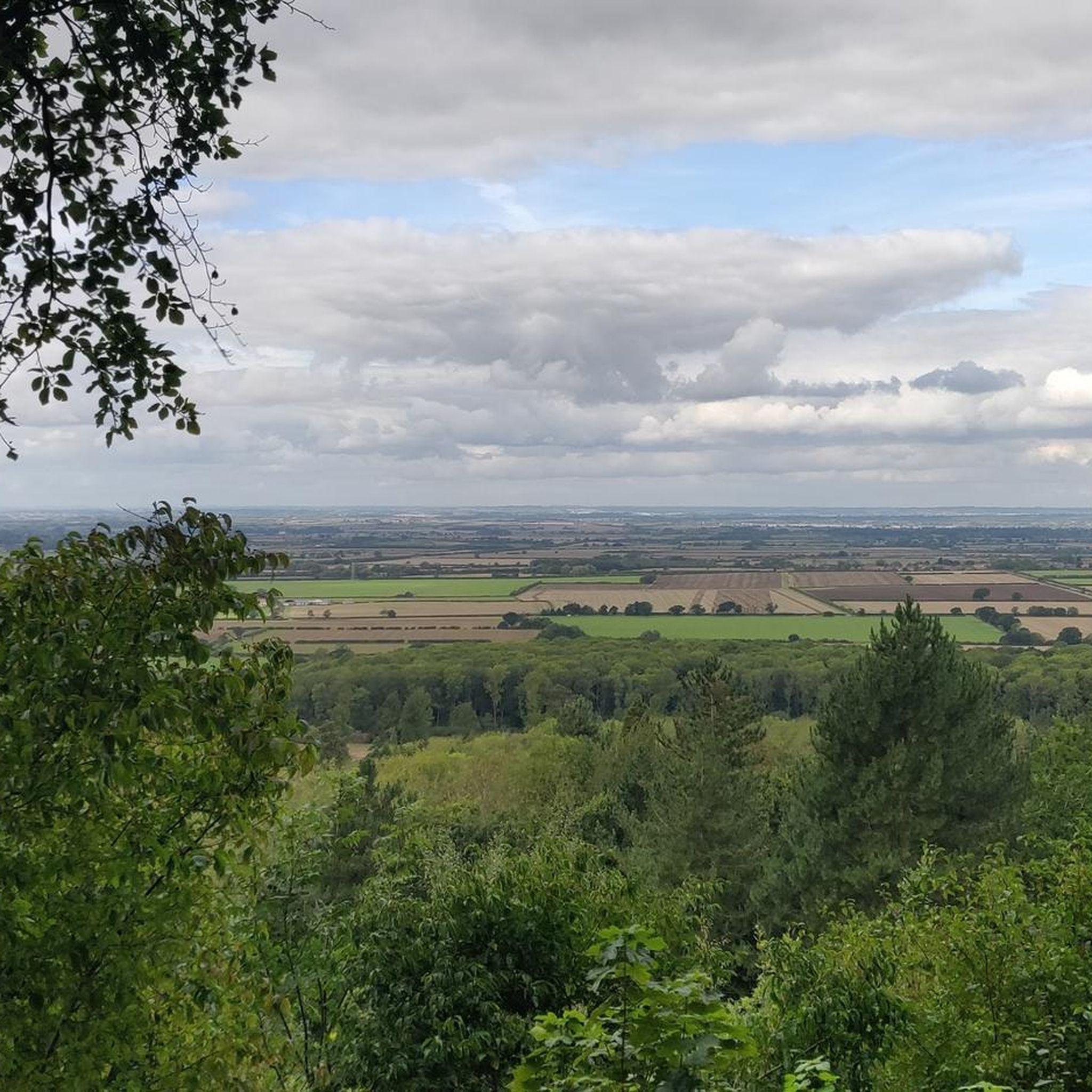
Hiking around Croxton Kerrial offers diverse landscapes characterized by rolling hills, expansive open fields, and scattered woodlands. The area features distinctly hilly terrain, with its highest point reaching 500 feet (152 meters) above sea level, providing panoramic views. Notable natural features include "The Drift," an ancient track with sections designated as a Site of Special Scientific Interest for its rare limestone grassland, and the River Welland. This varied topography provides a range of hiking experiences.
Best hiking trails around Croxton Kerrial
- The most popular hiking route is Carlisle Wood – Engine Yard at Belvoir Castle loop from The Woodlands, a 4.3 miles (6.9 km) trail that takes 1 hour 51 minutes to complete. This easy route explores the scenic surroundings of Belvoir Castle.
- Another top favourite among local hikers is Woolsthorpe Middle Lock – Belvoir Castle loop from Belvoir, a moderate 6.7 miles (10.8 km) path. This trail connects the picturesque Woolsthorpe Middle Lock on the Grantham Canal with the historic Belvoir Castle area.
- Local hikers also love the Engine Yard at Belvoir Castle – Carlisle Wood loop from Belvoir, an 8.3 miles (13.3 km) trail leading through woodlands and open countryside, often completed in about 3 hours 37 minutes.
- Hiking around Croxton Kerrial is defined by rolling hills, open fields, and limestone grassland. The network offers options for different ability levels, from easy loops to moderate excursions.
- The routes in Croxton Kerrial are highly rated by the komoot community with an average score of 4.4 stars from over 280 reviews. More than 2100 hikers have used komoot to explore Croxton Kerrial's varied terrain.
Last updated: September 30, 2026
4.5
(10)
158
hikers
Easy hike. Great for any fitness level. Easily-accessible paths. Suitable for all skill levels.
5.0
(6)
29
hikers
10.9km
02:56
130m
130m
Moderate hike. Good fitness required. Easily-accessible paths. Suitable for all skill levels.

3.6
(5)
43
hikers
13.3km
03:37
190m
190m
Moderate hike. Good fitness required. Easily-accessible paths. Suitable for all skill levels.
3.9
(8)
47
hikers
14.3km
03:52
190m
190m
Moderate hike. Good fitness required. Easily-accessible paths. Suitable for all skill levels.
4.5
(2)
6
hikers
12.3km
03:19
160m
160m
Moderate hike. Good fitness required. Easily-accessible paths. Suitable for all skill levels.
Get access to more routes and recommendations from other explorers.
Already have an account?
Our route recommendations are based on thousands of hikes, rides, and runs completed by other people on komoot.
Start today with a free account
Your next adventure awaits.
Tips from the Community

It was a little further and to the right from the location on the map. Found a pair of pants there. 10/10
0
0


lovely canal bridge, head left along disused section of canal to pick up old railway line towards newark.
0
0


Great little cafe, reasonably priced with a nice little outdoor seating area.
0
0

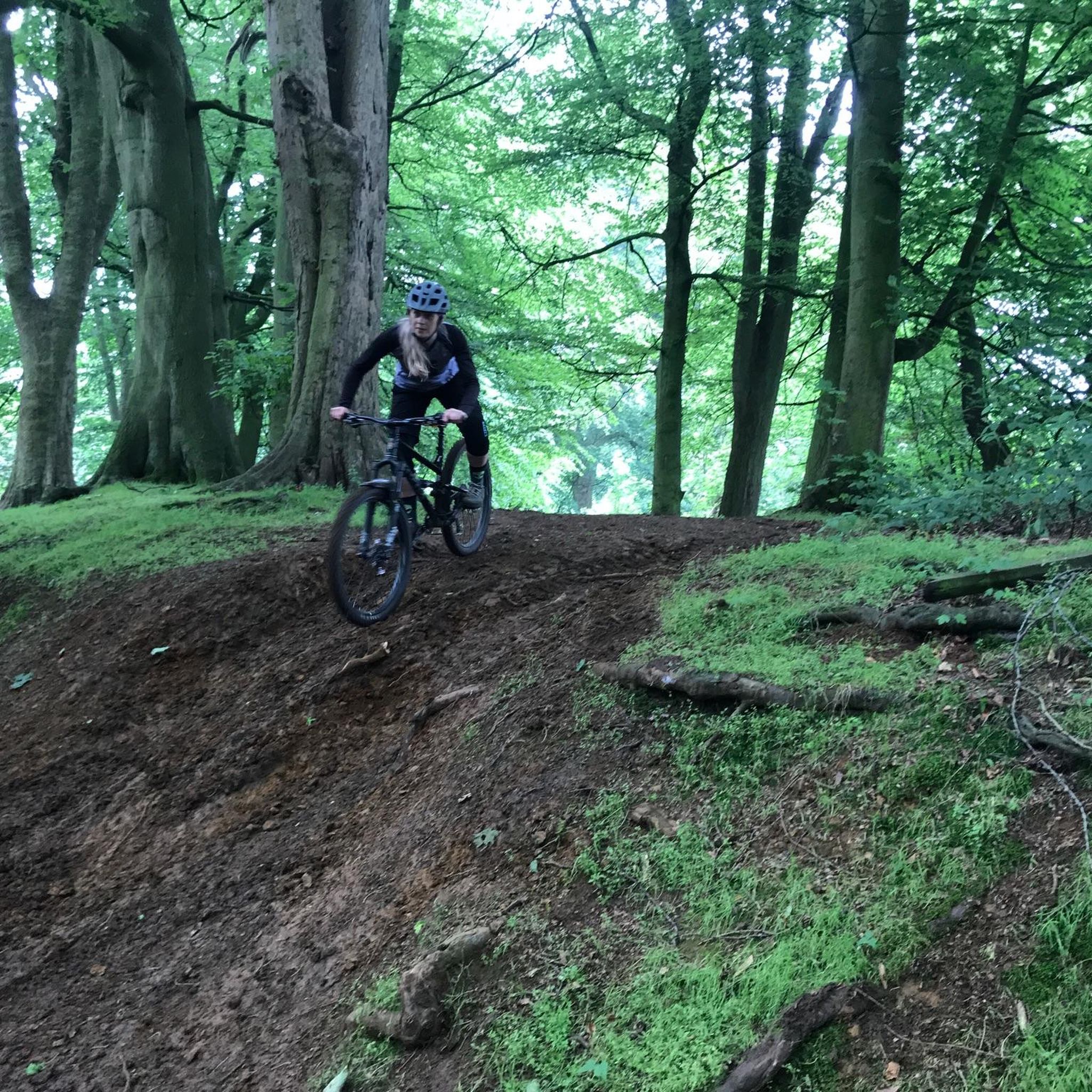
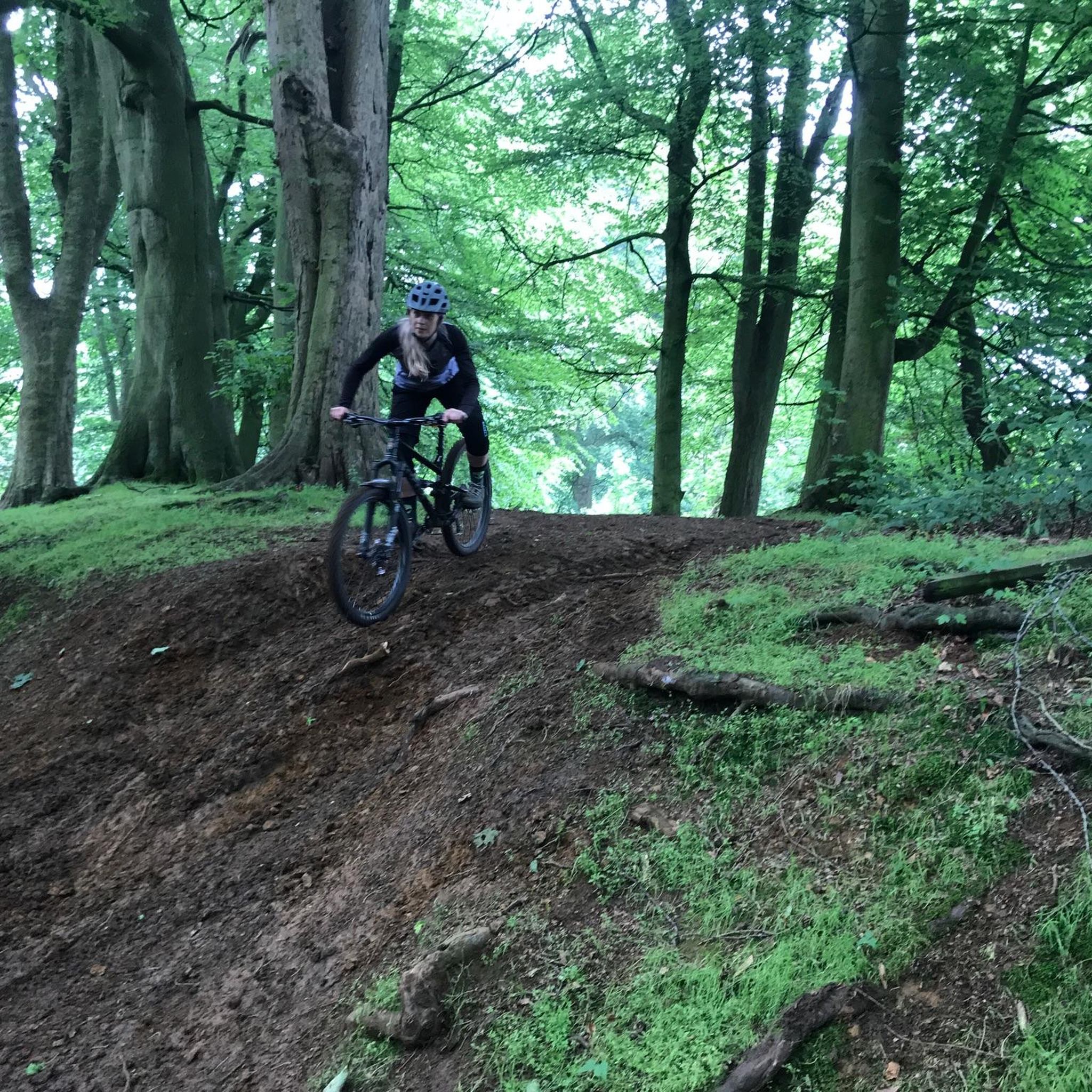
A great route but some sections are extremely muddy but great fun. Toft hill climb is one section that really works legs, slow and steady wins out
1
0

Great location to grab a bite to eat or mooch around the shops.
0
0

Frequently Asked Questions
What kind of terrain can I expect when hiking around Croxton Kerrial?
The area around Croxton Kerrial is characterized by diverse terrain, including rolling hills, expansive open fields, and scattered woodlands. You'll encounter distinctly hilly sections, with the highest point reaching 500 feet (152 meters) above sea level, offering panoramic views. Notable features include ancient tracks like "The Drift," which has sections of rare limestone grassland, and paths along the undulating countryside and the River Welland.
Are there any easy or family-friendly hiking routes in Croxton Kerrial?
Yes, Croxton Kerrial offers several easy routes suitable for families. For instance, the Carlisle Wood – Engine Yard at Belvoir Castle loop from The Woodlands is an easy 4.3-mile (6.9 km) trail that explores the scenic surroundings of Belvoir Castle. Overall, there are over 70 easy routes available in the area.
Where can I find scenic viewpoints or natural landmarks on the trails?
The hilly terrain provides magnificent panoramic views, especially north towards Belvoir Castle and westward from School Lane. "The Drift" is a Site of Special Scientific Interest due to its rare limestone grassland. You can also find the Croxton Water Spout, an old water system fed by a local spring, and enjoy walks along the River Welland. Belvoir Castle itself offers stunning views across the Vale of Belvoir.
Are there any circular walks available around Croxton Kerrial?
Yes, many routes in the area are circular. For example, an 8.9 km circular walk starts and finishes at the Geese and Fountain in Croxton Kerrial, leading to Branston. The Belvoir Castle – Belvoir Castle loop from Belvoir is another moderate circular option, covering 7.6 miles (12.3 km) around the castle grounds.
What historical sites or attractions can I see near the hiking trails?
Hikers can explore several historical sites. The remains of Croxton Abbey are visible in Croxton Park, and the village itself features historic buildings. Near some routes, you can visit Belvoir Castle and the picturesque Woolsthorpe Middle Lock on the Grantham Canal.
What do other hikers say about the trails in Croxton Kerrial?
The hiking routes around Croxton Kerrial are highly rated by the komoot community, with an average score of 4.4 stars from over 280 reviews. Hikers often praise the varied terrain, from rolling hills to open fields and woodlands, and the scenic views, particularly around Belvoir Castle and along "The Drift."
Are there any routes that connect Croxton Kerrial to nearby villages?
Yes, you can enjoy walks connecting Croxton Kerrial to nearby villages such as Branston, Knipton, and Harston. These routes often utilize farm tracks and woodlands, offering a chance to explore the broader Leicestershire countryside.
Where can I find parking for hiking trails in Croxton Kerrial?
While specific parking locations for every trail are not detailed here, many routes around Croxton Kerrial, especially those originating from villages or popular attractions like Belvoir Castle, typically have designated parking areas. It's advisable to check the starting point of your chosen route for specific parking information.
Are there any cafes or places to get refreshments along the trails?
Yes, there are options for refreshments. The Engine Yard at Belvoir Castle often has facilities like Little Treats coffee van. Additionally, the Wymondham Windmill, located nearby, features tea rooms. You can also find pubs in Croxton Kerrial and surrounding villages like the Geese and Fountain.
What is the best time of year to hike in Croxton Kerrial?
The region offers beautiful scenery throughout the year. In late April/early May, you might spot cowslips along the River Welland. The varied landscapes, from limestone grasslands to woodlands, provide different visual appeals across seasons. The panoramic views are particularly striking when the tree cover changes colors.
Can I bring my dog on the hiking trails in Croxton Kerrial?
Many public footpaths and trails in the UK countryside are dog-friendly, provided dogs are kept under control, especially near livestock. Given the area's open fields and woodlands, it's generally suitable for dog walking. However, always be mindful of local signage, particularly in nature reserves or areas with sensitive wildlife, and ensure you clean up after your pet.
How many hiking routes are available in the Croxton Kerrial area?
There are over 170 hiking routes available around Croxton Kerrial, catering to various fitness levels. This includes approximately 78 easy routes, 87 moderate routes, and 14 difficult routes, ensuring a wide range of options for exploration.
Most popular routes around Croxton Kerrial
Most popular attractions around Croxton Kerrial

Get inspired with the komoot mobile app


Explore more
Browse the best Hikes in other regions.
