The best walks and hikes around Grebenau
4.5
(3398)
11,891
hikers
91
hikes
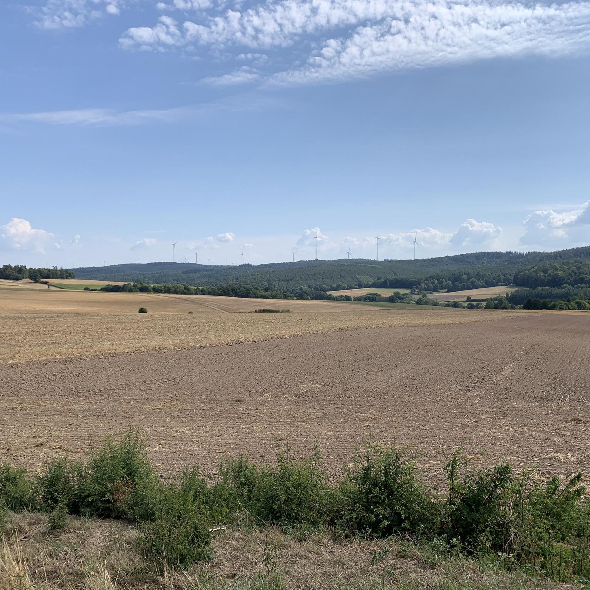
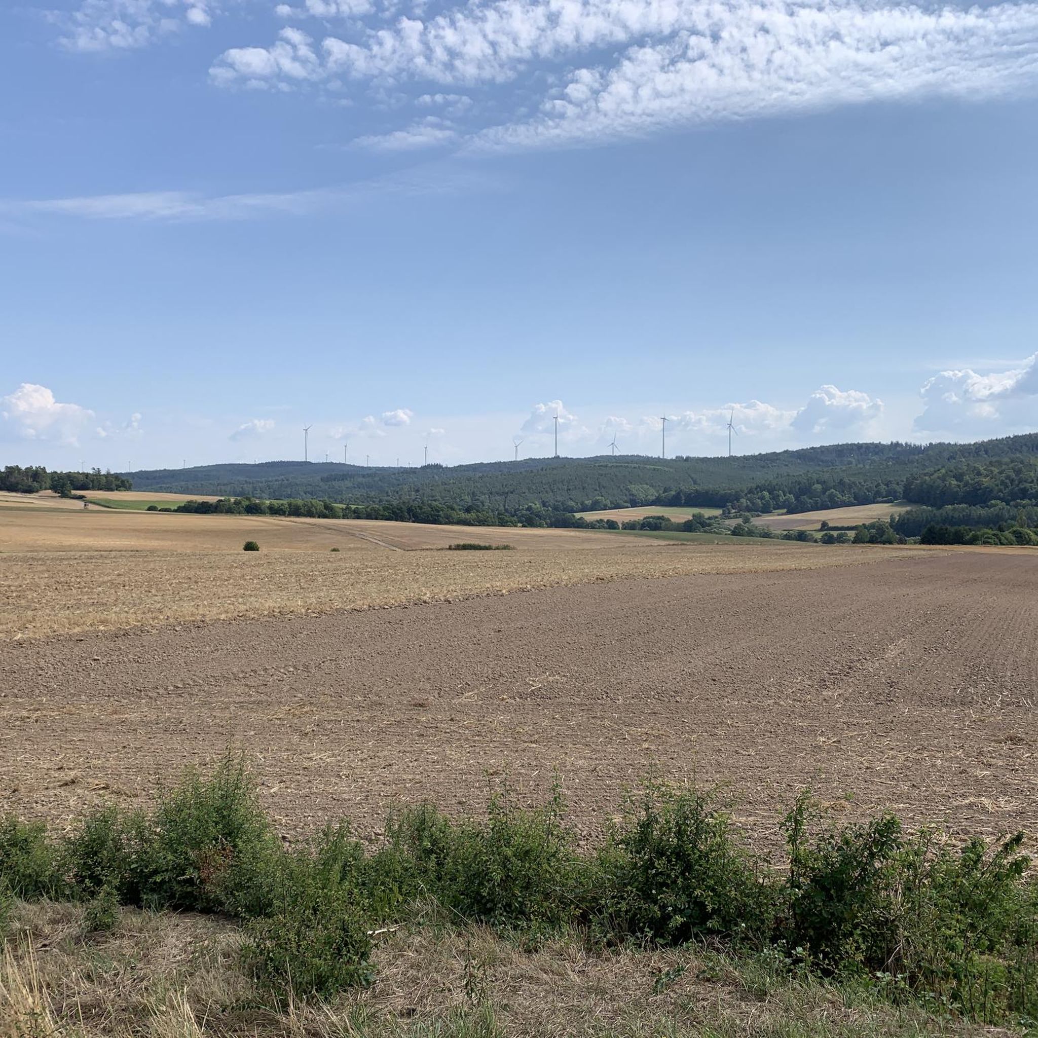
Hiking around Grebenau offers varied terrain within the Vogelsberg, Europe's largest extinct volcano. The region is characterized by gently hilly landscapes, winding through a mosaic of fields, forests, and meadows. The Lauter River flows through the area, providing pleasant riverside paths. This diverse environment creates a tranquil setting for exploring nature.
Best hiking trails around Grebenau
- The most popular hiking route is Gasthof Hardtmühle – Stream Crossing loop from Auerberg bei Schwarz, a 2.9 miles (4.7 km) trail that takes 1 hour 15 minutes to complete, offering gentle terrain through river valleys and forests.
- Another top favourite among local hikers is Amthof Grebenau – Herzberg Castle loop from Grebenau, a moderate 5.9 miles (9.4 km) path, exploring historical landmarks and varied landscapes.
- Local hikers also love the Moonshiner Hut – Schwarzenbachteich loop from Schwarzenbachsgrund bei Grebenau, a 4.1 miles (6.6 km) trail leading through wooded areas and past a pond, often completed in about 1 hour 50 minutes.
- Hiking around Grebenau is defined by rolling hills, lush forests, and river valleys, with a network of routes offering options for easy and moderate ability levels.
- The routes in Grebenau are highly rated by the komoot community with an average score of 4.5 stars from over 2,800 reviews. More than 11,000 hikers have used komoot to explore Grebenau's varied terrain.
Last updated: October 7, 2026
4.6
(9)
22
hikers
9.45km
02:49
280m
280m
Moderate hike. Good fitness required. Easily-accessible paths. Suitable for all skill levels.
4.2
(6)
12
hikers
Easy hike. Great for any fitness level. Easily-accessible paths. Suitable for all skill levels.

4.3
(3)
15
hikers
Easy hike. Great for any fitness level. Easily-accessible paths. Suitable for all skill levels.
8
hikers
Moderate hike. Good fitness required. Easily-accessible paths. Suitable for all skill levels.
5.0
(2)
7
hikers
16.6km
04:47
420m
420m
Moderate hike. Good fitness required. Easily-accessible paths. Suitable for all skill levels.
Get access to more routes and recommendations from other explorers.
Already have an account?
Our route recommendations are based on thousands of hikes, rides, and runs completed by other people on komoot.
Start today with a free account
Your next adventure awaits.
Tips from the Community

A historic building from the Gründchenbahn
0
0

Parking for guests of the Burgschänke. Campers can also find a pitch here for a fee.
0
0
Small bench for a short rest before heading up to the castle.
0
0
Small bench with a beautiful view.
0
0

one of the most beautiful excursion restaurants far and wide
0
0

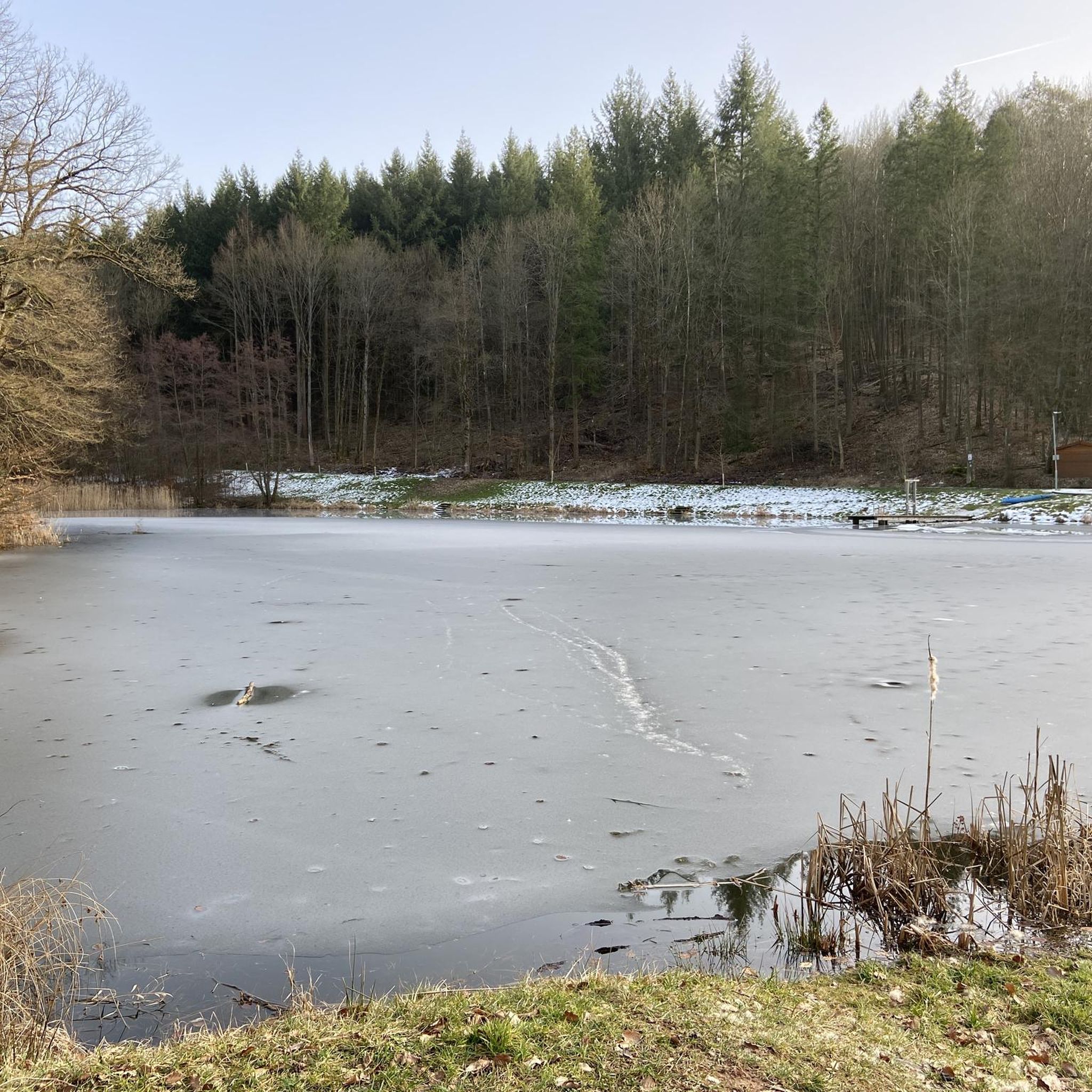
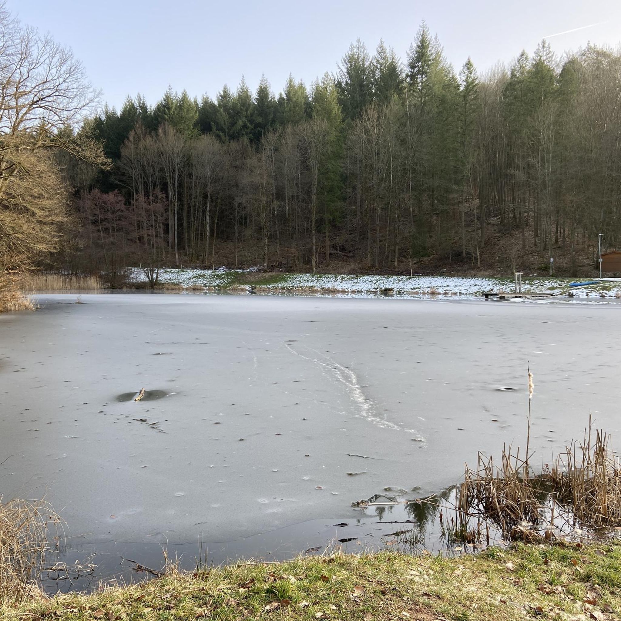
A very nice swimming pond. With a kiosk that leaves nothing to be desired.
0
0

To get to the quarry itself you have to turn right and go around the quarry a bit to get in
0
0

The Protestant town church of Grebenau.
3
0
Frequently Asked Questions
What kind of landscape can I expect when hiking around Grebenau?
Grebenau is situated within the Vogelsberg, a volcanic area characterized by rolling hills and lush green forests. You'll find serene river valleys, particularly along the Lauter River, and extensive meadows, creating a tranquil setting for exploring nature.
How many hiking trails are available in the Grebenau area?
There are over 90 hiking trails around Grebenau, offering a wide range of options for different preferences and skill levels. The komoot community has explored these routes over 600 times.
Are there easy hiking trails suitable for beginners or families in Grebenau?
Yes, Grebenau offers many easy trails perfect for beginners or families. For example, the Traces of Resin Harvesting – Stream Crossing loop from Eifa is an easy 2.9-mile (4.7 km) route through wooded areas, taking about 1 hour 18 minutes. Another gentle option is the Gasthof Hardtmühle – Stream Crossing loop from Auerberg bei Schwarz, which leads through river valleys and forests.
What are some notable landmarks or viewpoints I can discover while hiking?
The region offers several interesting landmarks and viewpoints. You can visit Sängersberg Summit Cross (494 m) or the Steinberg Summit and Hexenplatz Memorial for panoramic views. The historic Burg Herzberg, Hesse's largest high castle, is also a significant attraction in the broader hiking region. Additionally, the Ibraer Kuppe Shelter and Viewpoint provides a great spot to rest and enjoy the scenery.
Are there any circular hiking routes around Grebenau?
Many trails in Grebenau are designed as circular routes, allowing you to start and end at the same point. The Amthof Grebenau – Herzberg Castle loop from Grebenau is a moderate 5.9-mile (9.4 km) path exploring historical landmarks and varied landscapes. Another option is the Stream Crossing – Gasthof Hardtmühle loop from Eifa, an easy 2.9-mile (4.7 km) trail.
What is the best time of year to go hiking in Grebenau?
The best seasons for hiking in Grebenau are spring and autumn. During these times, temperatures are mild, and the landscape is particularly vibrant, offering beautiful scenery with blooming flowers or colorful foliage.
Can I find places to rest or eat along the hiking trails?
Yes, there are several spots where you can take a break. You might come across facilities like the Bernhausen Bike Rest Stop or shelters such as the Auerberg Former Railway Stop Shelter. For a more substantial break, the Frieda Hut at the Chestnut Triangle and Forsthaus Wehnerts are available.
Are there any more challenging hikes for experienced trekkers?
For those seeking a more rigorous experience, the Vogelsberg region, where Grebenau is located, offers challenging routes like the 'Vogelsberg Volcano Ring'. Within the immediate area, the Traces of Resin Harvesting – Auerhahnstein-Dankmal loop from Rotzenberg is a moderate 6.1-mile (9.9 km) hike with notable elevation changes.
What do other hikers say about the trails in Grebenau?
The hiking trails around Grebenau are highly rated by the komoot community, with an average score of 4.5 stars from over 100 reviews. Hikers often praise the diverse landscape, the tranquility of the forests, and the well-maintained paths.
Is Grebenau a good destination for dog-friendly hiking?
While specific dog-friendly amenities aren't detailed, the extensive forests and river valleys around Grebenau generally provide a welcoming environment for hiking with dogs. It's always advisable to keep dogs on a leash, especially in nature reserves or near wildlife, and to carry water for them.
What are the typical distances and durations for hikes in Grebenau?
Hikes in Grebenau vary in length and duration. Many easy trails, like the Traces of Resin Harvesting – Stream Crossing loop from Eifa, are around 2.9 miles (4.7 km) and take about 1 hour 18 minutes. Moderate routes, such as the Amthof Grebenau – Herzberg Castle loop from Grebenau, can be up to 5.9 miles (9.4 km) and take around 2 hours 48 minutes.
Most popular routes around Grebenau
Most popular attractions around Grebenau

Get inspired with the komoot mobile app


Explore more
Browse the best Hikes in other regions.
