The best walks and hikes around Glooston
4.4
(295)
2,345
hikers
233
hikes
Hikes around Glooston explore the rolling hills and broad ridges characteristic of the High Leicestershire landscape. The region is defined by its rural character, with public footpaths passing through agricultural fields, scattered woodlands, and past small villages. The terrain consists of undulating uplands and some steeper valleys, offering a variety of walking conditions.
Best hiking trails around Glooston
- The most popular hiking route is Hallaton Castle Hill Camp – Keythorpe Trig Point loop from Goadby, a 6.9 mile (11.2…
Last updated: June 26, 2026
5.0
(3)
23
hikers
11.3km
03:03
150m
150m
Moderate hike. Good fitness required. Easily-accessible paths. Suitable for all skill levels.
5.0
(1)
21
hikers
8.22km
02:15
120m
130m
Moderate hike. Good fitness required. Easily-accessible paths. Suitable for all skill levels.

Sign up for free
4.5
(2)
14
hikers
8.82km
02:24
130m
130m
Moderate hike. Good fitness required. Easily-accessible paths. Suitable for all skill levels.
5
hikers
14.1km
03:47
180m
180m
Moderate hike. Good fitness required. Easily-accessible paths. Suitable for all skill levels.
5.0
(2)
7
hikers
11.7km
03:10
160m
160m
Moderate hike. Good fitness required. Easily-accessible paths. Suitable for all skill levels.
Get access to more routes and recommendations from other explorers.
Sign up for free
Already have an account?
Our route recommendations are based on thousands of hikes, rides, and runs completed by other people on komoot.
Start today with a free account
Your next adventure awaits.
Login or Signup

Tips from the Community

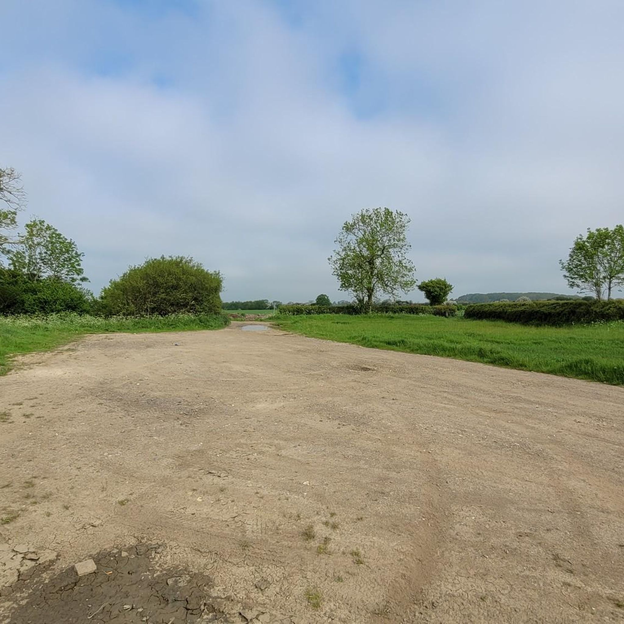
A real mix of surfaces. From the south starts as a steep and bumpy field crossing into another, both fine if its dry and not been ploughed. Further north it's through a short wood then a gravel track and finally a grassy track where cows can chew it up in the wet. Not one for winter.
0
0
From the south starts as a gravel and brick trail but turns into grass bridleway
0
0
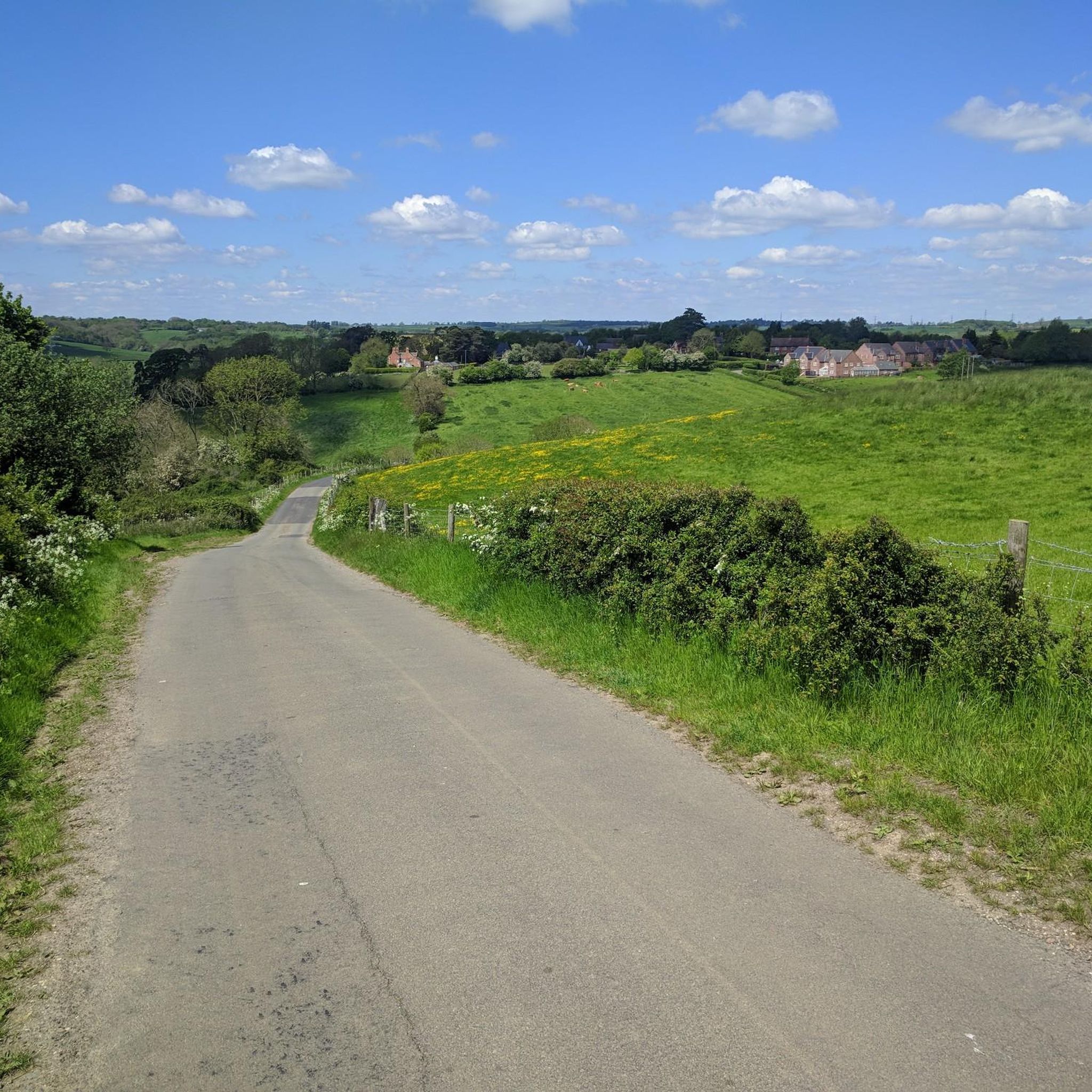
Goadby is just straight up, Horse Hill has a twisting steep descent then an equally steep climb. Do north to south for maximum climbing. This is the view from the top.
0
0

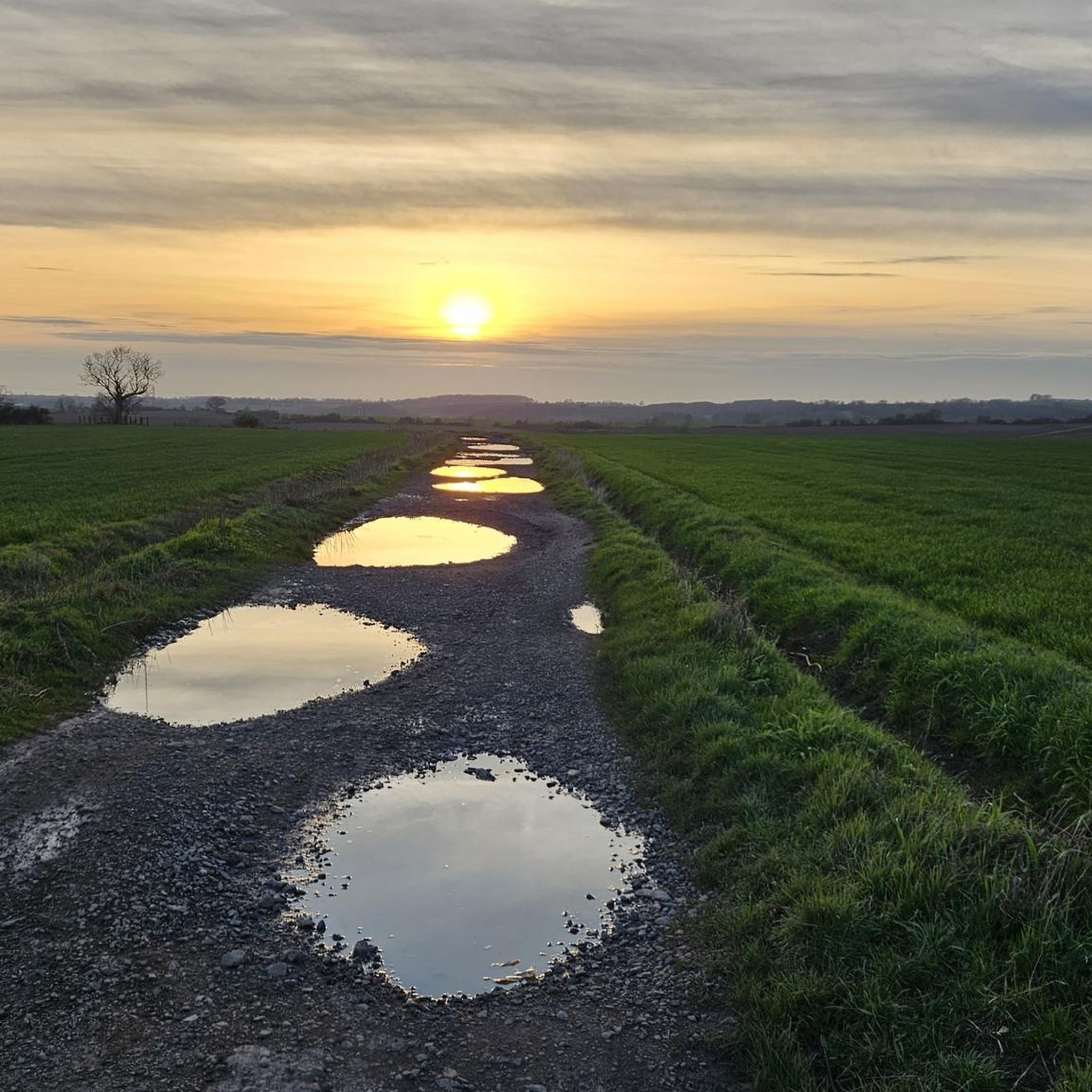
Lovely ride all year round - puddles get bigger in winter, but no problem to ride!
0
0
Really quiet and easy to link up some quiet tarmac or trails
0
0

Originating in medieval times, Saint Leonards Church dates back to the 13th to 15th century AD. It's a pleasant place to stop for a rest as it's tucked away off a footpath in the quaint village of Thorpe Langton. There's also a bench outside.
0
0
East Langton is a quaint village that boasts a charming pub, an idyllic cricket ground, and impressive former stables that were once a source of local employment for providing horses for the hunting field. Notably, the village was home to John William Logan, a railway contractor (Logan and Hemingway), who lived at The Grange from 1876 until his passing in 1925. A two-time Liberal MP for Harborough, he left a lasting impact on the village, contributing to features such as the castellated water tower and cricket ground.
0
0
Frequently Asked Questions
Are there many hiking trails to choose from around Glooston?
Yes, there's a wide variety of trails. You can find over 200 routes in the area, ranging from easy strolls to more challenging hikes, so there's something for every ability level.
What do other hikers think of the trails in this area?
The trails around Glooston are highly regarded by the komoot community. Hikers often praise the beautiful rolling hills of the High Leicestershire landscape, the quiet public footpaths through fields, and the mix of open countryside and woodland.
Are there any good circular walks starting from Glooston?
Yes, there are several circular routes. A great option is the Woolpits Planting – Noseley Wood loop from Glooston. This moderate trail takes you through varied countryside and is a fantastic way to experience the local scenery directly from the village.
Can I bring my dog on the hikes around Glooston?
Many trails in the area are suitable for walking with a dog, as they pass through open countryside and along public footpaths. However, you will likely cross fields with livestock, so it's essential to keep your dog on a lead and under control.
Are there any family-friendly walks in the area?
Absolutely. With nearly 100 easy-rated routes, there are plenty of options for a family outing. These shorter, less strenuous walks are perfect for exploring the Leicestershire countryside with children.
What is the terrain like for hiking around Glooston?
The landscape is classic High Leicestershire, characterized by rolling hills, broad ridges, and some steeper valleys. Most trails follow public footpaths across agricultural fields and through small woods, with some sections on quiet country lanes.
Are there any long-distance footpaths that pass through Glooston?
Yes, the Leicestershire Round, a 100-mile trail that circuits the county, runs directly through Glooston. You can walk a segment of this well-known path to explore some of the region's most scenic and historic countryside.
Are there any historical sites to see on the walks?
Many local trails feature historical points of interest. A popular destination is Hallaton Castle Hill Camp, the earthwork remains of a Norman motte-and-bailey castle. The Hallaton Castle Hill Camp loop from Cranoe is a great moderate hike for exploring this historic site.
Can I find a walk that includes a stop at a café?
Yes, for a relaxed walk with a rewarding break, consider the Mint and Ginger Café loop from Harborough. It's an easy route that's perfect for a casual afternoon.
Where can I find the best views near Glooston?
The undulating terrain provides many opportunities for lovely scenery across the valleys. Hikes that take you to higher ground, such as those around Crossburrow Hill or Keythorpe, will reward you with expansive views of the surrounding Leicestershire countryside.
Are there opportunities for birdwatching while hiking?
Yes, the area is great for birdwatching. A short distance from Glooston is the Eye Brook Reservoir, a Site of Special Scientific Interest (SSSI). It's a key location for wildfowl and waders, and you might even spot ospreys from nearby Rutland Water.
What are some popular places for hiking near Glooston?
Besides the immediate trails, hikers enjoy exploring nearby nature spots. The Guthlaxton Trail is a well-regarded local hiking area, and Hill Hole Nature Reserve, a former quarry, offers peaceful walks around a small lake.
Most popular attractions around Glooston

Get inspired with the komoot mobile app


Explore more
Browse the best Hikes in other regions.
