The best walks and hikes around Nateby
4.5
(554)
4,525
hikers
154
hikes
Hiking around Nateby explores varied landscapes where Cumbria meets the Yorkshire Dales National Park. The region features rolling fells, expansive open moorland, and quiet riverside paths along the River Eden. This area offers a mix of gentle valley walks and more demanding upland routes. The network of trails provides diverse experiences for different fitness levels.
Best hiking trails around Nateby
- The most popular hiking route is Nicky Nook Summit – Grizedale Reservoir loop from Garstang, a 10.5 miles (17.0…
Last updated: May 11, 2026
5.0
(2)
13
hikers
17.0km
04:42
290m
290m
Moderate hike. Good fitness required. Easily-accessible paths. Suitable for all skill levels.
4.1
(9)
15
hikers
10.3km
02:38
40m
40m
Moderate hike. Good fitness required. Easily-accessible paths. Suitable for all skill levels.

Sign up for free
4.8
(4)
12
hikers
5.26km
01:21
20m
20m
Easy hike. Great for any fitness level. Easily-accessible paths. Suitable for all skill levels.
5.0
(1)
9
hikers
5.02km
01:17
20m
20m
Easy hike. Great for any fitness level. Easily-accessible paths. Suitable for all skill levels.
4.7
(3)
13
hikers
Moderate hike. Good fitness required. Easily-accessible paths. Suitable for all skill levels.
Get access to more routes and recommendations from other explorers.
Sign up for free
Already have an account?
Our route recommendations are based on thousands of hikes, rides, and runs completed by other people on komoot.
Start today with a free account
Your next adventure awaits.
Login or Signup
Tips from the Community

Shop doing sandwiches, pies, hot and cold drinks. With outside seating.
0
0

Great spot for food or coffee after a ride or to set you up well for one!
0
0

The Priory at Scorton - order at the van and your food will come out to you or on occasion pop in the bar to purchase there when the van is empty.
0
0

Great pie/sandwich shop on Garstang High St. Fantastic place to grab a takeaway pie, sandwich and brew during a ride, beaches nearby for somewhere to sit whilst you scoff your grub.
0
0

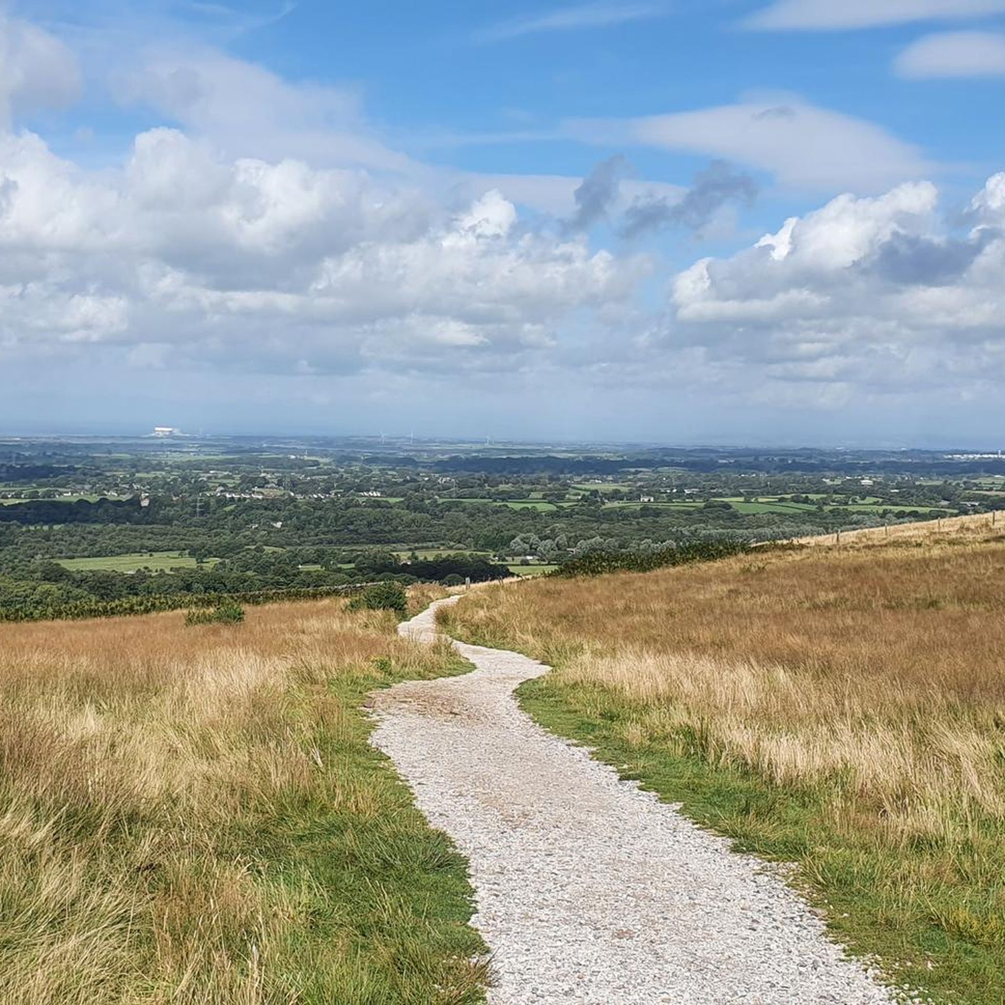
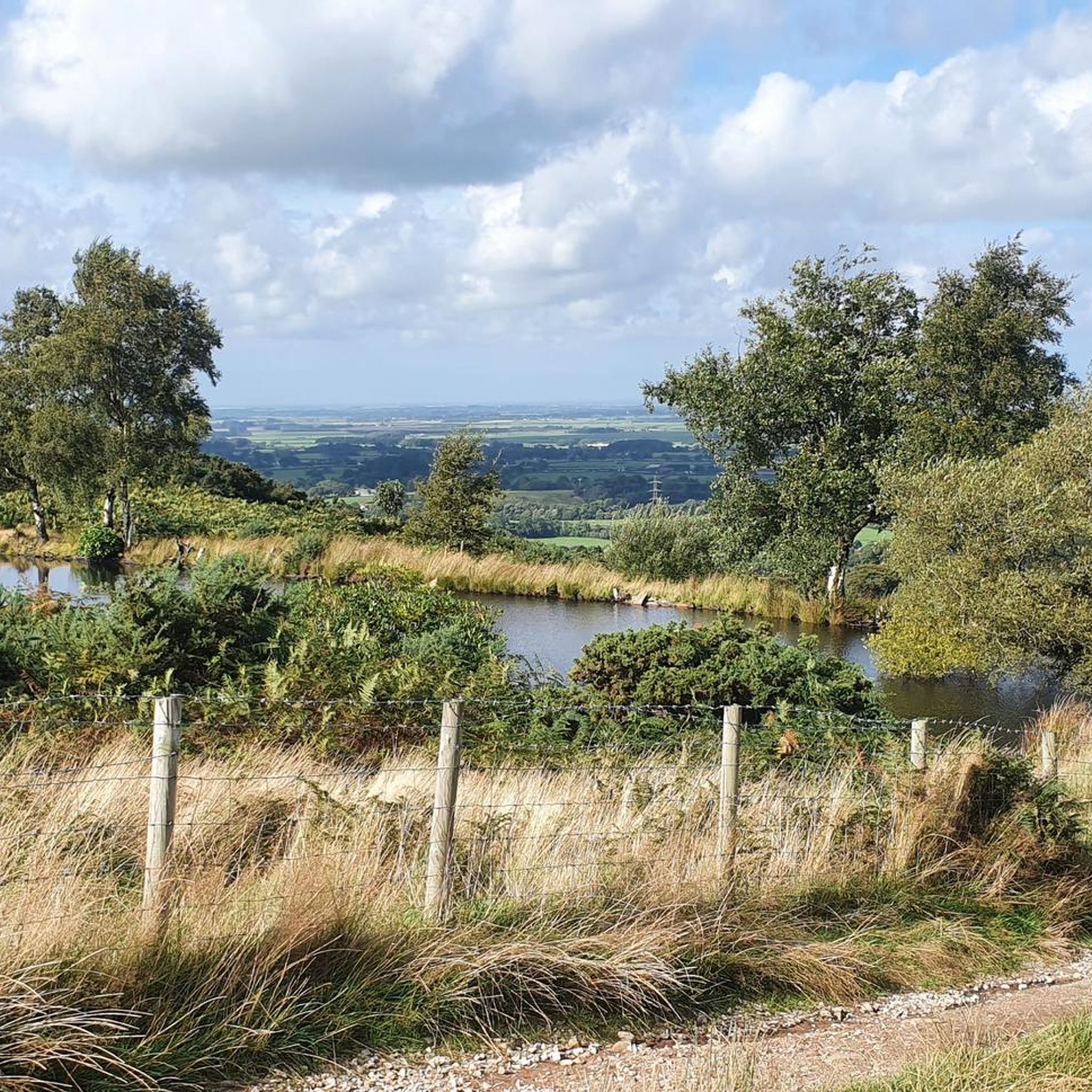
At the summit of Nicky Nook, runners are rewarded with panoramic views of the surrounding countryside. On a clear day, it is possible to see across the Forest of Bowland and even catch glimpses of the distant Lake District and Morecambe Bay.
1
0
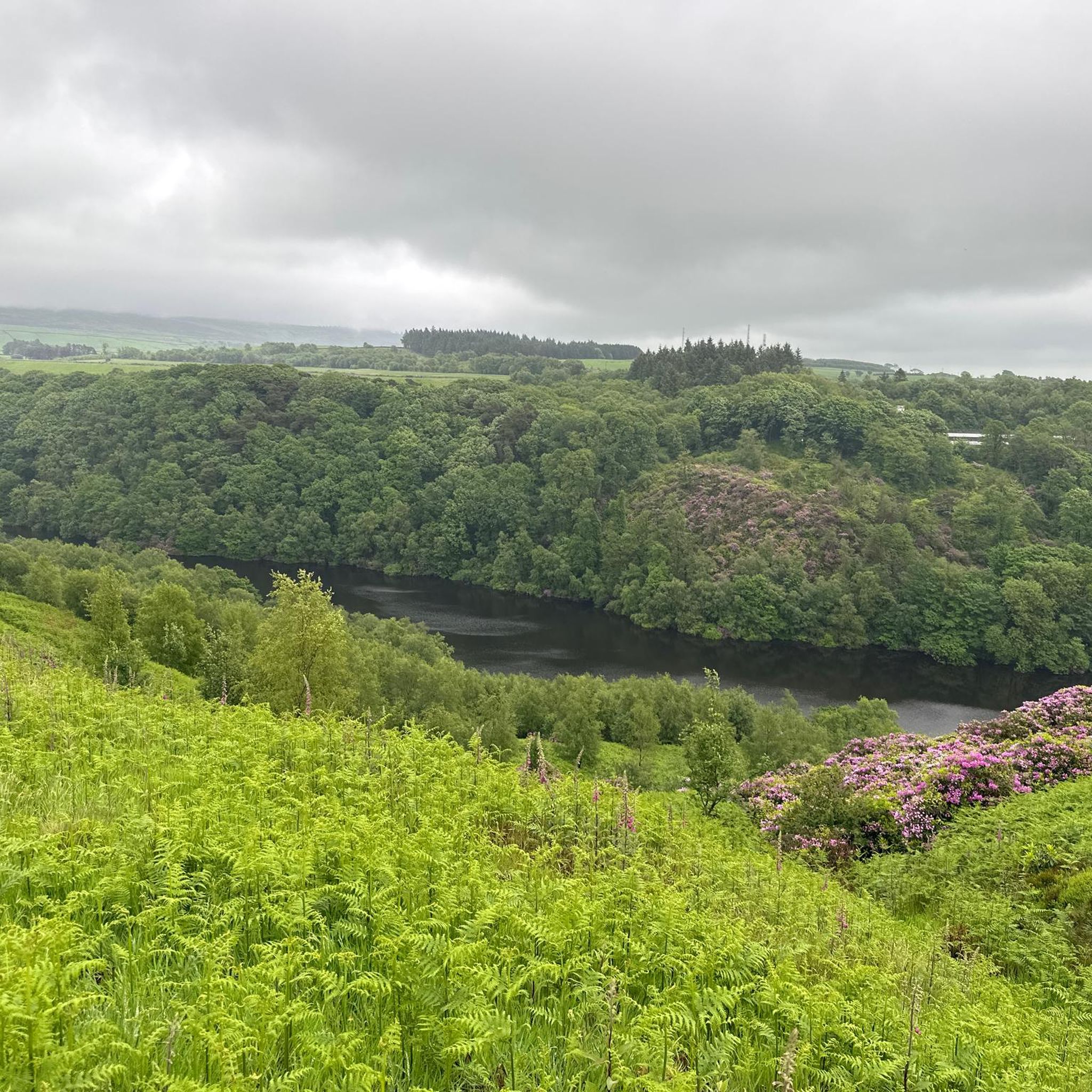
Grizedale Reservoir is a serene and scenic location within the Forest of Bowland AONB, offering a peaceful retreat and good pathways for runners who appreciate the natural beauty of Lancashire's countryside.
2
0

One of the best Flat Whites in the area, possibly the best. The Tiffins are awesome also.
1
0
Bike racks to store bikes with indoor and outdoor seating options. Gets very busy.
1
0
Frequently Asked Questions
Are there many circular walks starting near Nateby?
Yes, the area around Nateby is excellent for circular hikes. You'll find a wide variety of loops that bring you back to your starting point without retracing your steps. These range from short, gentle strolls to more demanding all-day treks across the fells, ensuring there's a circular route for every fitness level.
Can I take my dog on the trails around Nateby?
Many trails in the Nateby area are suitable for walking with a dog. However, as the region includes open moorland and farmland with livestock, it's essential to keep your dog under close control, and on a lead where required. Always check for local signage regarding dogs, especially during lambing and bird nesting seasons.
Are there any easy, family-friendly walks in the area?
Certainly. The region offers numerous gentle walks perfect for a family outing. For a very accessible and flat walk, consider the Boats on the Canal – Nateby Crossing Cottage loop from Garstang. This short 4.9 km route follows the canal towpath and is ideal for all ages.
Where can I find hikes with the best views near Nateby?
For some of the most commanding views, the trek up to Nine Standards Rigg is a regional classic. From the summit, you get expansive 360-degree panoramas across the Vale of Eden and towards the Lake District fells. The wild moorland landscape on the ascent is a key part of the experience.
What is the terrain like on the hikes around Nateby?
The terrain is quite varied. You can expect gentle riverside paths along the River Eden, level walks on disused railway lines like the one in Smardale Gill Nature Reserve, and well-trodden field paths. For more challenging routes, you'll encounter rugged and sometimes boggy open moorland, particularly on the higher fells like those on the way to Nine Standards Rigg.
Are there any long-distance hiking options from Nateby?
Yes, Nateby is located very close to the Pennine Way, one of the UK's most famous long-distance trails. You can easily join a section of this National Trail for a challenging day hike or as part of a multi-day adventure. The area also serves as a great base for exploring extensive sections of the Yorkshire Dales National Park.
Where are the best places to park for a hike?
Parking availability depends on your chosen route. The nearby town of Kirkby Stephen has several public car parks. For specific trails, designated parking is often available. For example, if you plan to explore the Smardale Gill Nature Reserve, there is a small car park at the start of the trail, though it can be busy.
Are there any accessible or stile-free walks available?
For a relatively flat and accessible walk, the path along the old railway line through the Smardale Gill Nature Reserve is a great option. It follows the valley on a level track, passing over the impressive Smardale Gill Viaduct, making it suitable for many abilities.
What do other hikers enjoy about the Nateby area?
The komoot community rates the hiking here highly. Reviewers frequently praise the variety of the landscape, from the peaceful riverside walks along the Eden to the wild, open feel of the high fells. The sense of tranquility and the stunning countryside views are often mentioned as major highlights.
Are there any challenging, full-day hikes I can do?
For experienced hikers looking for a challenge, the Nicky Nook Summit – Grizedale Reservoir loop from Winmarleigh offers a substantial 16.8 km route with a good amount of ascent. It's a rewarding trek that takes you to a summit and offers great views over a reservoir.
How many hiking trails are there around Nateby?
There is a vast network of trails to explore. You can find over 150 different routes on komoot, with a good split between easy, moderate, and difficult hikes, ensuring there's something for every type of walker.
Can I get to the trailheads using public transport?
The nearby market town of Kirkby Stephen is the main transport hub for the area and is served by the Settle-Carlisle railway line. From Kirkby Stephen, you can access many local walks on foot. Some local bus services connect to surrounding villages, but services can be infrequent, so it's best to check timetables in advance.
Most popular routes around Nateby
Most popular attractions around Nateby

Get inspired with the komoot mobile app


Explore more
Browse the best Hikes in other regions.
