The best road cycling routes around Forton
4.6
(124)
6,680
riders
129
rides
Road cycling routes around Forton traverse a landscape characterized by varied terrain, including rural roads, valley descents, and some significant climbs. The region features areas like Quernmore Valley and views towards the Trough of Bowland, offering diverse environments for road cyclists. Elevation gains range from gentle undulations to more challenging ascents, providing options for different fitness levels.
Best road cycling routes around Forton
- The most popular road cycling route is Crook O’Lune Viewpoint – Quernmore Valley Descent loop from Cabus…
Last updated: September 25, 2026
4.3
(3)
92
riders
48.3km
02:03
360m
360m
Moderate road ride. Good fitness required. Mostly well-paved surfaces and easy to ride.
5.0
(1)
70
riders
38.3km
01:36
230m
230m
Easy road ride. Great for any fitness level. Mostly well-paved surfaces and easy to ride.

5.0
(2)
32
riders
62.5km
02:25
210m
210m
Moderate road ride. Good fitness required. Mostly well-paved surfaces and easy to ride.
11
riders
80.4km
04:08
1,370m
1,370m
Hard road ride. Very good fitness required. Mostly well-paved surfaces and easy to ride.
14
riders
16.9km
00:51
220m
220m
Easy road ride. Great for any fitness level. Mostly well-paved surfaces and easy to ride.
Get access to more routes and recommendations from other explorers.
Already have an account?
Our route recommendations are based on thousands of hikes, rides, and runs completed by other people on komoot.
Start today with a free account
Your next adventure awaits.
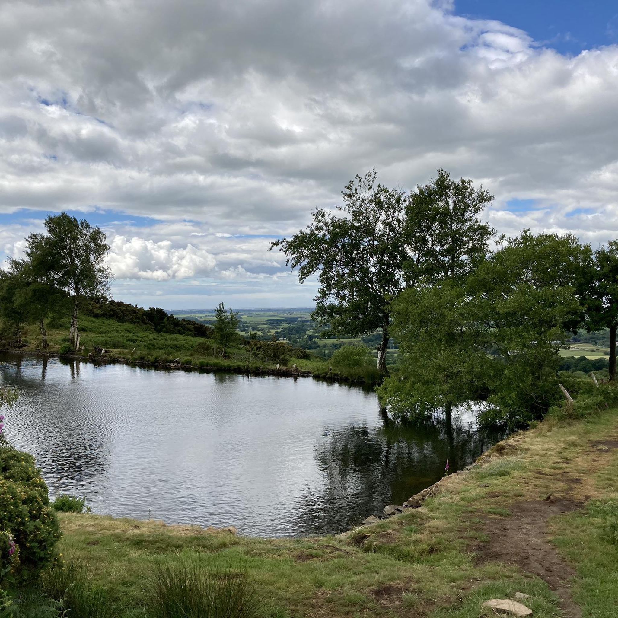
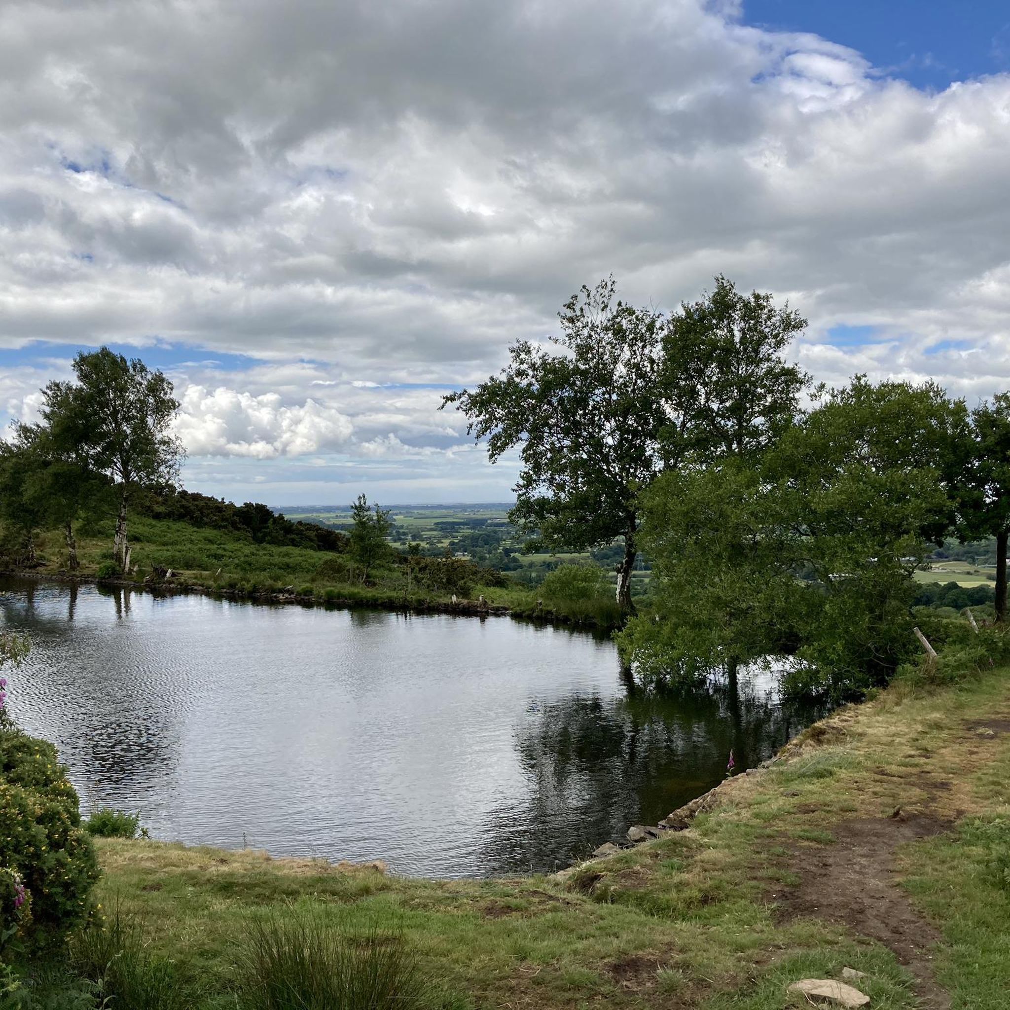
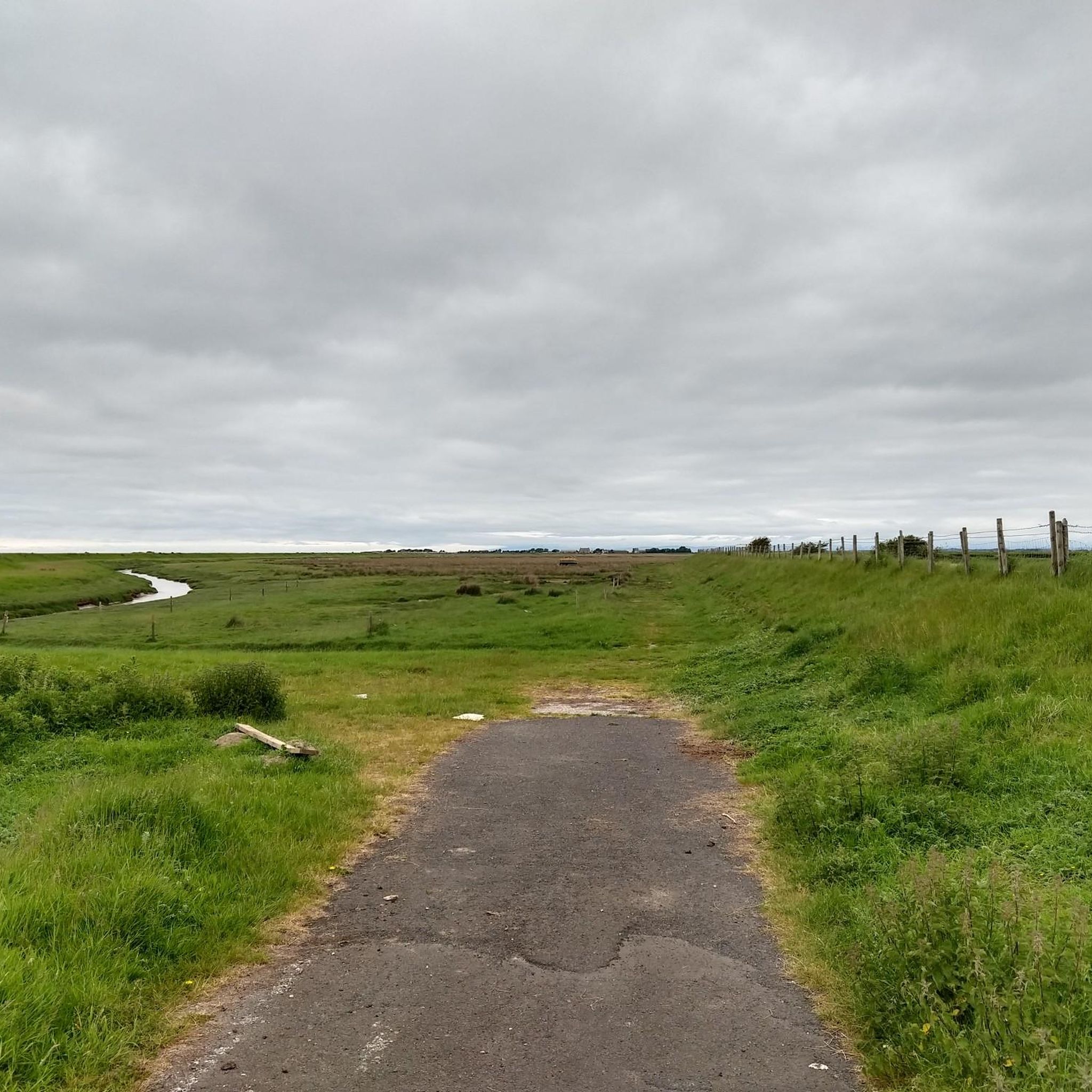
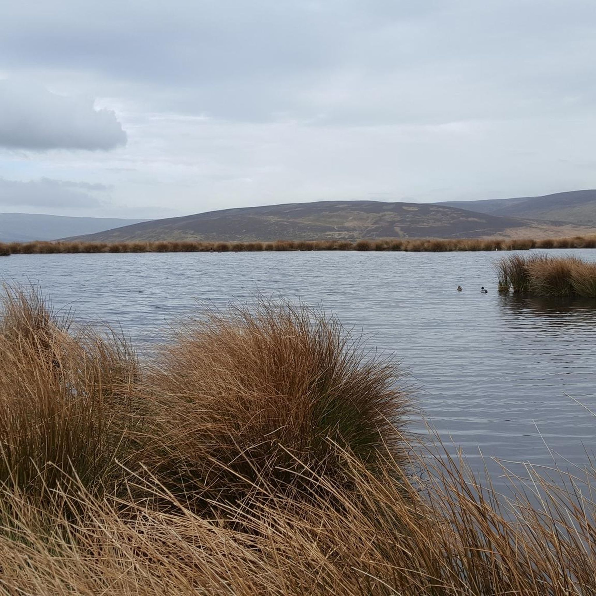
Tips from the Community

Excellent place to stop for refreshments, great food and coffee. They do a cyclist loyalty scheme if you're there before 12.
0
0
Good alternative to keep you off the main road, can be busy with walkers and gets a bit messy in bad weather
0
0

easy section of road
0
0

This is marked as an intermediate walk which, in the main is accurate. The walk starts with a steep incline, well covered in the walk description. What is less documented is the subsequent decent which can be challenging for the novice/ intermediate walker. The path down is narrow and the potential fall severe. Please be aware. Other than that, the walk offers wonderful views after the initial climb and relatively sedate walk after decent.
0
0

The Barn at Scorton is a large, oak-framed café and restaurant set in the heart of Scorton village. It serves a wide range of food and drink, including hearty mains, vegan options, cakes and afternoon teas. With indoor and outdoor seating, a garden centre, gift shop, and dog-friendly areas, it’s a popular stop for walkers and cyclists.
1
0


The actual centre of the British Isles is roughly 4 miles from the village but it is a pretty village to visit on the banks of the River Hodder.
0
1
Frequently Asked Questions
How many road cycling routes are available around Forton?
There are over 130 road cycling routes around Forton, catering to various skill levels and preferences. This includes approximately 75 easy routes, 59 moderate routes, and a few challenging options for experienced riders.
Are there easy road cycling routes suitable for beginners in Forton?
Yes, Forton offers numerous easy routes perfect for beginners or those seeking a relaxed ride. An excellent option is the Conder Green Gravel Trail – Walling's Ice Cream loop from Forton, an easy 23.8 miles (38.3 km) path that passes by a popular local ice cream spot.
What are some options for longer road cycling routes around Forton?
For longer distances, you can explore routes like the Hodder Bridge – Trough of Bowland Viewpoint loop from Forton, which is a challenging 80.4 km (50 miles) route with significant elevation gain. Another good option is The Barn, Scorton – Cartford Toll Bridge loop from Cabus, a 40.6 miles (65.4 km) trail through rural landscapes.
Are there challenging road cycling routes for advanced riders in Forton?
Yes, Forton and its surroundings offer challenging routes, particularly those venturing towards the Trough of Bowland. The Hodder Bridge – Trough of Bowland Viewpoint loop from Forton is classified as difficult, featuring over 1300 meters of elevation gain over 80 km, making it suitable for advanced cyclists.
What kind of scenery can I expect on road cycling routes in Forton?
Road cycling routes around Forton offer diverse scenery, including rural roads, valley descents, and views towards the Trough of Bowland. You'll encounter varied terrain, from gentle undulations to significant climbs, providing a mix of open landscapes and more sheltered sections.
Are there any notable landmarks or attractions along the road cycling routes?
Yes, several routes offer views or pass by interesting points. You might catch glimpses of Clougha Pike or the Jubilee Tower (Quernmore). The Crook O’Lune Viewpoint – Quernmore Valley Descent loop from Cabus offers scenic views of Crook O'Lune.
What is the best season for road cycling in Forton?
While road cycling is possible year-round, the spring, summer, and early autumn months generally offer the most pleasant conditions in Forton. The weather is typically milder, and the longer daylight hours allow for more extensive rides. Always check local weather forecasts before heading out.
What do other road cyclists enjoy most about road cycling in Forton?
The road cycling routes in Forton are highly rated by the komoot community, with an average score of 4.6 stars from over 100 reviews. Cyclists often praise the varied terrain, the scenic rural roads, and the options available for different ability levels, from gentle rides to challenging climbs.
Are there many loop routes available for road cycling in Forton?
Yes, many of the road cycling routes around Forton are designed as loops, allowing you to start and finish at the same point. Examples include the Crook O’Lune Viewpoint – Quernmore Valley Descent loop from Cabus and the Conder Green Gravel Trail – Walling's Ice Cream loop from Forton.
Are there road cycling routes around Forton that pass by cafes or refreshment stops?
Many routes in the Forton area pass through or near villages and towns where you can find cafes and pubs. For instance, the Conder Green Gravel Trail – Walling's Ice Cream loop from Forton specifically mentions passing by Walling's Ice Cream, a popular stop for cyclists.
What should I pack for a road cycling trip in Forton?
For road cycling in Forton, it's advisable to pack essentials such as a repair kit, spare inner tubes, a pump, water, and snacks. Depending on the season, layers of clothing, a waterproof jacket, and sun protection are also recommended. Always carry a charged phone and navigation tools.
Most popular attractions around Forton

Get inspired with the komoot mobile app


Explore more
Browse the best Road cycling routes in other regions.
