The best road cycling routes around Wrightington
4.3
(220)
8,643
riders
439
rides
Road cycling around Wrightington offers varied terrain, featuring a blend of challenging climbs and well-paved roads. The region is characterized by gentle hills, extensive forested areas, and rural landscapes, with elevations rising to over 400 feet at Harrock. Rivers like the Douglas and Sprodley Brook weave through the area, contributing to the scenic routes.
Best road cycling routes around Wrightington
- The most popular road cycling route is Eccleston Village – River Yarrow in Eccleston loop from Parbold, a 30.9 miles (49.8 km) trail that takes 2 hours 1 minute to complete. This moderate route features well-paved surfaces through scenic rural areas.
- Another top favourite among local road cyclists is Eyes Lane Bridge – Eyes Lane Metal Bridge loop from Appley Bridge, a moderate 31.3 miles (50.3 km) path. This route includes over 1,000 feet of elevation gain on quiet roads.
- Local road cyclists also love the River Yarrow in Eccleston – Eccleston Village loop from Gathurst, a 31.6 miles (50.9 km) trail leading through varied terrain and rural beauty, often completed in about 2 hours 6 minutes.
- Road cycling around Wrightington is defined by gentle hills, forested areas, and quiet rural roads. The network offers options for different ability levels, from moderate rides to more demanding ascents.
- The routes in Wrightington are highly rated by the komoot community with an average score of 4.3 stars from over 170 reviews. More than 8,500 road cyclists have used komoot to explore Wrightington's varied terrain.
Last updated: November 12, 2026
5.0
(10)
147
riders
50.2km
02:14
310m
310m
Moderate road ride. Good fitness required. Mostly well-paved surfaces and easy to ride.
40
riders
62.1km
02:36
310m
310m
Moderate road ride. Good fitness required. Mostly well-paved surfaces and easy to ride.

20
riders
98.9km
04:22
480m
480m
Moderate road ride. Good fitness required. Some segments of this route may be unpaved and difficult to ride.
24
riders
54.8km
02:22
330m
330m
Moderate road ride. Good fitness required. Some segments of this route may be unpaved and difficult to ride.
20
riders
20.7km
00:51
90m
90m
Easy road ride. Mostly well-paved surfaces and easy to ride.
Get access to more routes and recommendations from other explorers.
Already have an account?
Our route recommendations are based on thousands of hikes, rides, and runs completed by other people on komoot.
Start today with a free account
Your next adventure awaits.
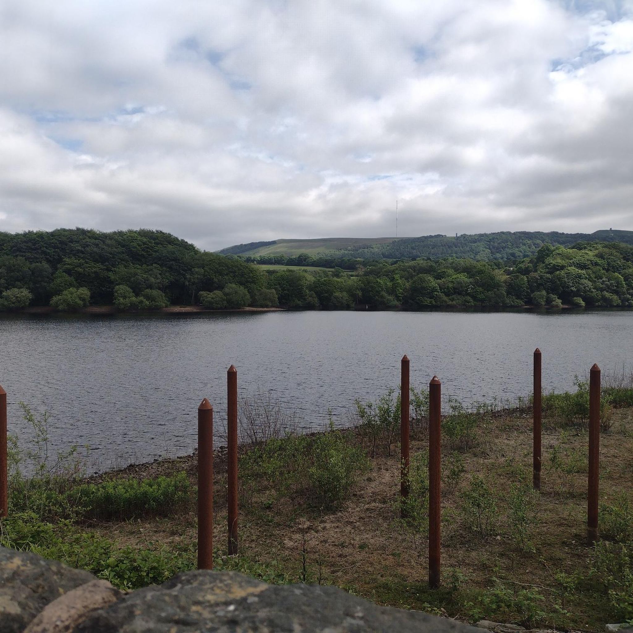
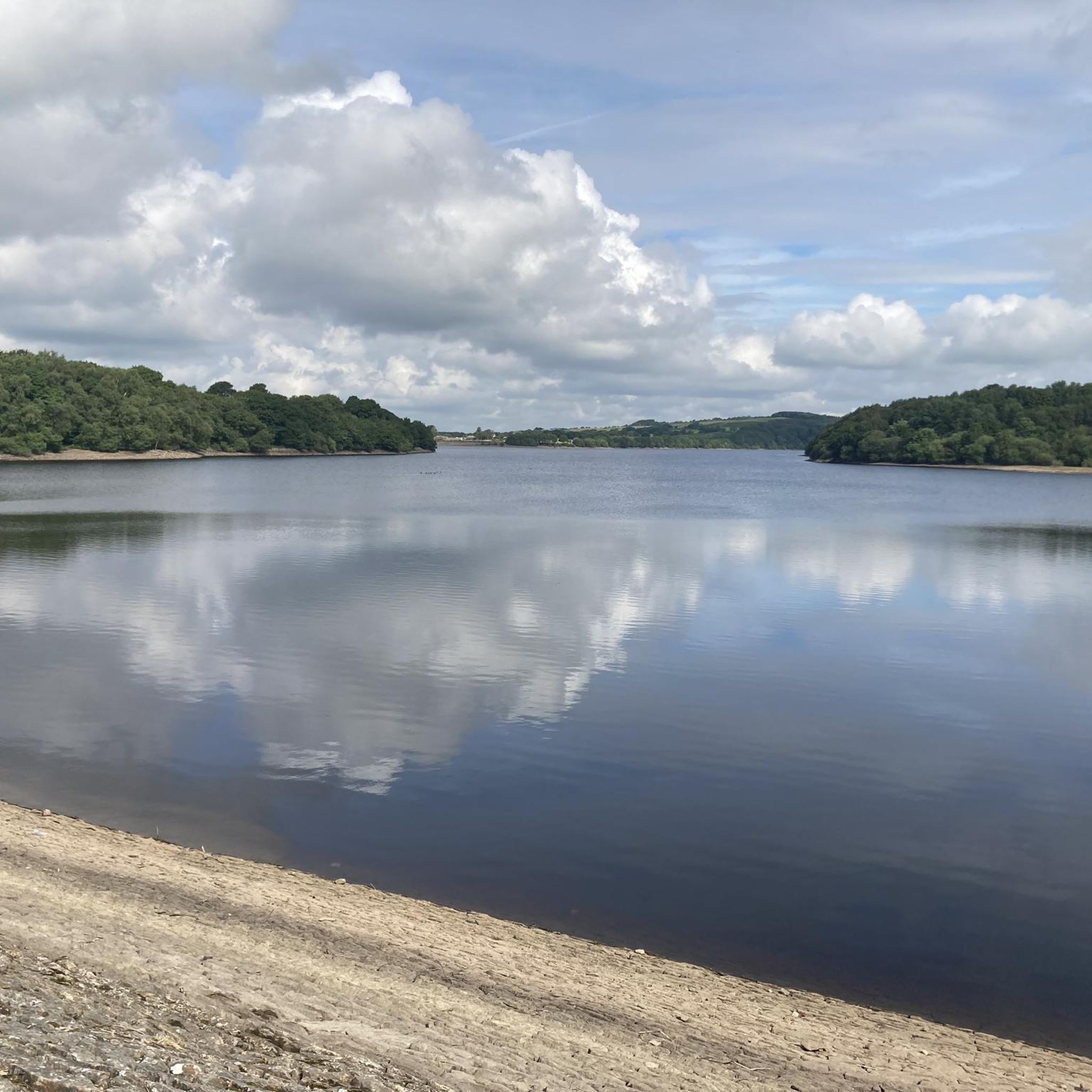
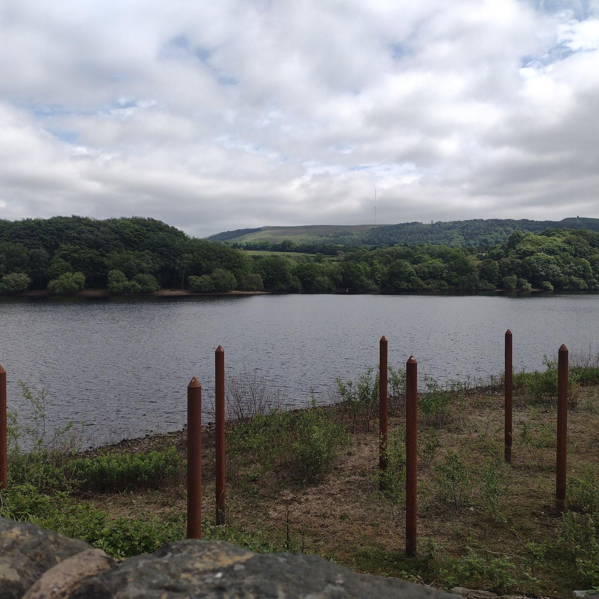
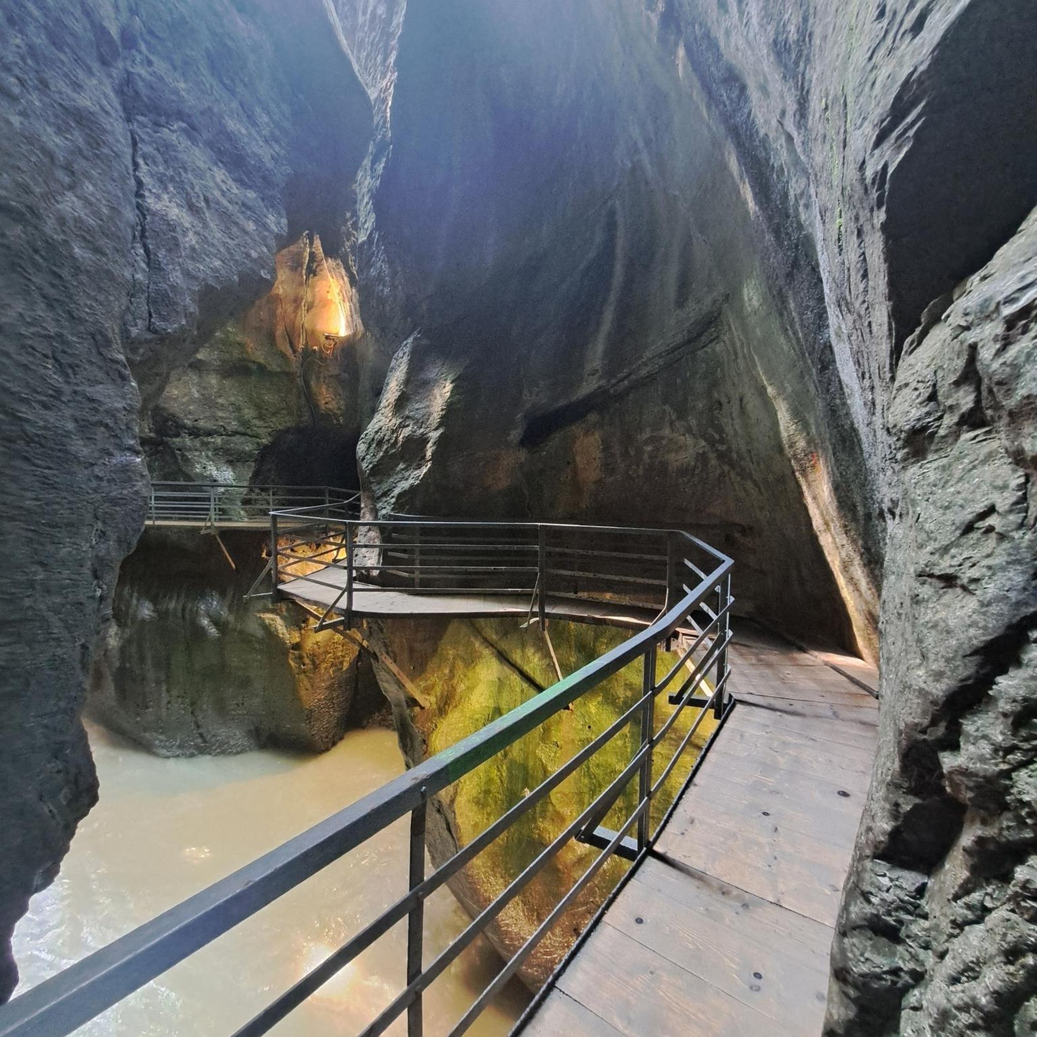
Tips from the Community

It's now Nov 2026 and Green Lane has been resurfaced for a few years, so it's now falling apart! The sides of the lane are falling into the field so large cracks have appeared in the centre and long ruts at the edges. It currently has 'Road Closed' signs on each end but nothing has been done to it yet and it's still cycleable.....
1
0

The statues are scattered up a long stretch of beach
0
0

The worst part of the road has been resurfaced and the whole length of the climb is a good surface.
1
0
The road is currently car free as it is closed to cars at the bridge over the Cheshire Lines. Concrete barriers stop cars getting through but you can still get through on a bike. Beware though that they are intermittently working on the bridge - before Christmas I came down from Haskayne to find that I couldn't get through - I therefore had to retrace my steps.
1
0

nice n easy on the lower slope.. ramps up to 15% plus upon the exit from the trees...
0
0

Yes its a wonderful area
0
0

Frequently Asked Questions
What kind of terrain can I expect when road cycling in Wrightington?
Wrightington offers a varied road cycling terrain, characterized by gentle hills and extensive forested areas. You'll find a blend of challenging climbs and pleasant, well-paved roads. Elevations can rise to over 400 feet at Harrock, providing diverse experiences for cyclists.
Are there challenging climbs for experienced road cyclists in Wrightington?
Yes, Wrightington features routes with significant elevation gains for experienced cyclists. Some routes offer over 1,000 feet of climbing, while more demanding options can exceed 3,000 feet. A notable climb is the Sheephouse Lane Climb, known for its steep sections and varied gradient, which has been recently resurfaced. While most routes are well-paved, some longer, more challenging routes might include unpaved sections.
Are there easy road cycling routes suitable for beginners in Wrightington?
Yes, Wrightington offers several easy road cycling routes. For example, the Jack Parker Cycles – Leeds and Liverpool Canal loop from Gathurst is an easy 40.9 km route with moderate elevation, perfect for those looking for a less strenuous ride.
What natural features and landmarks can I see along road cycling routes in Wrightington?
Road cycling routes in Wrightington often pass through beautiful rural landscapes featuring rivers like the Douglas and Sprodley Brook. You can also explore areas near Beacon Country Park, which offers panoramic views, or the Rivington Estate, home to the historic Pigeon Tower (Dovecote Tower) and the unique Seven Arched Bridge.
Are there any scenic viewpoints accessible by road bike in Wrightington?
Absolutely. Harrock Hill, the area's modest peak, offers rewarding climbs and expansive views of the surrounding farmlands and woodlands. Beacon Country Park also provides majestic panoramic views across the Lancashire Plain and the West Pennine Moors, making it a great destination for scenic stops during your ride.
Are there any circular road cycling routes in Wrightington?
Many of the road cycling routes in Wrightington are designed as loops, offering circular journeys. Examples include the Eccleston Village – River Yarrow in Eccleston loop from Parbold and the Eyes Lane Bridge – Eyes Lane Metal Bridge loop from Appley Bridge, both providing a complete circuit back to your starting point.
What do other road cyclists enjoy most about road cycling in Wrightington?
The road cycling experience in Wrightington is highly rated by the komoot community, with an average score of 4.3 stars from over 170 reviews. Cyclists often praise the region's quiet, traffic-free roads, varied terrain, and the blend of challenging climbs with well-paved surfaces through scenic rural areas and extensive forested landscapes.
Are there any routes that pass by waterfalls or significant water features?
While the Rivers Douglas and Sprodley Brook weave through the landscape, adding to the picturesque scenery, specific road cycling routes directly passing by prominent waterfalls are less common. However, you can find highlights like Fairy Glen Waterfalls and Waterfalls at Limestone Brook in the broader area, which might be accessible via short detours or combined with other activities.
How many road cycling routes are available in Wrightington?
There are over 450 road cycling routes available in Wrightington, catering to various skill levels. This includes approximately 177 easy routes, 255 moderate routes, and 22 more difficult options for experienced cyclists.
Are there any routes that include sections along canals?
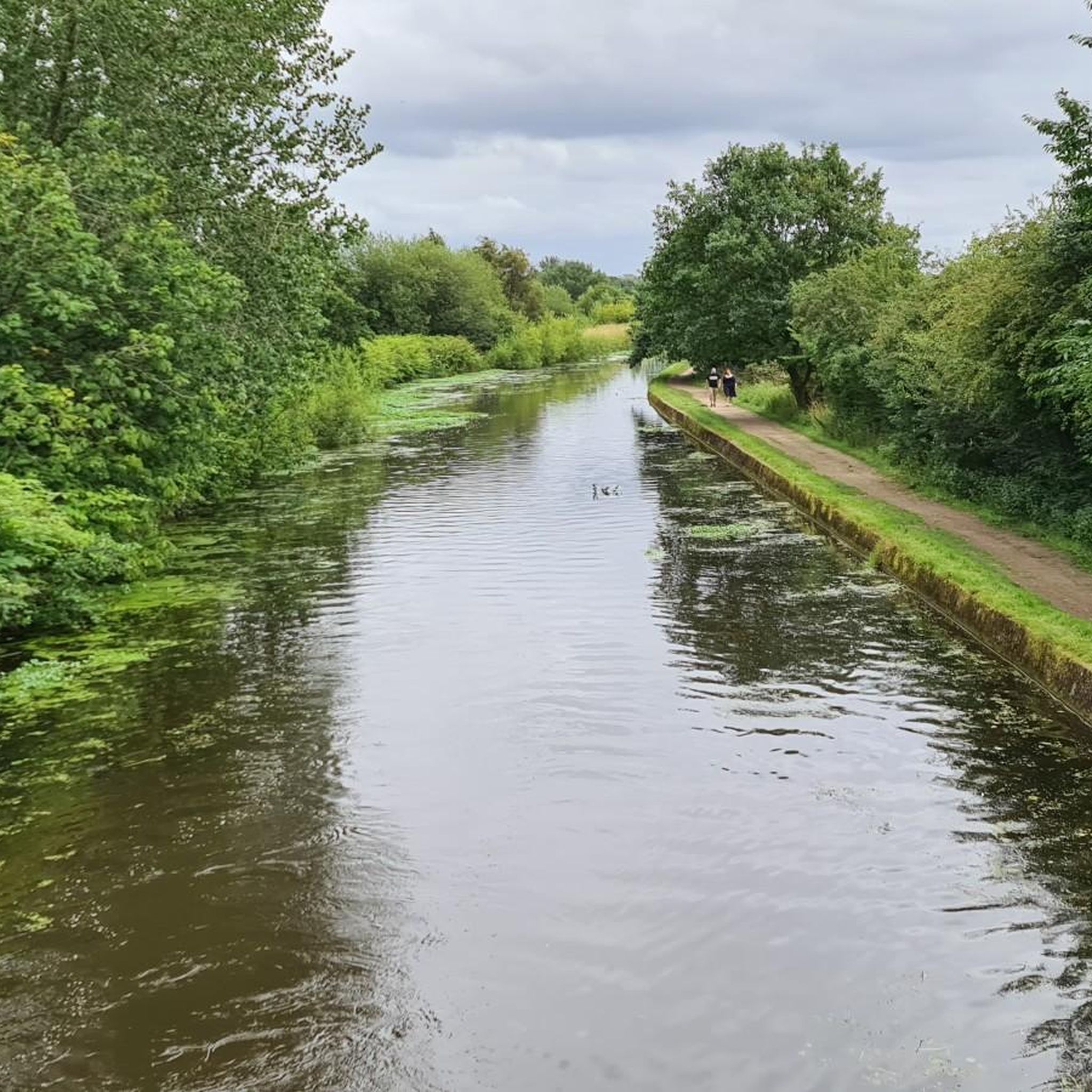
Yes, some routes incorporate sections along canals, offering a different type of scenic experience. For instance, the Eccleston Village – Leeds and Liverpool Canal loop from Appley Bridge is a moderate route that includes parts of the Leeds and Liverpool Canal.
What is the best time of year to go road cycling in Wrightington?
Wrightington's rural beauty and varied terrain make it enjoyable for road cycling throughout much of the year. The extensive forested areas provide ample shade, which can be pleasant during warmer months. For the most comfortable conditions, late spring to early autumn generally offers the best weather for exploring the region's routes.
Most popular routes around Wrightington
Most popular attractions around Wrightington

Get inspired with the komoot mobile app


Explore more
Browse the best Road cycling routes in other regions.
