The best road cycling routes around Scarisbrick
4.4
(110)
6,081
riders
304
rides
Road cycling routes around Scarisbrick are primarily characterized by the flat topography of the West Lancashire Coastal Plain. The area features a network of quiet country lanes and dedicated cycling infrastructure, including sections along the Leeds & Liverpool Canal. While generally flat, some routes extend into varied landscapes, offering options for different cycling preferences. This region provides accessible terrain suitable for a range of road cyclists.
Best road cycling routes around Scarisbrick
- The most popular road cycling route is Lancashire…
Last updated: October 28, 2026
4.0
(1)
11
riders
55.0km
02:33
440m
440m
Moderate road ride. Good fitness required. Mostly well-paved surfaces and easy to ride.
5.0
(1)
88
riders
50.8km
02:07
170m
170m
Moderate road ride. Good fitness required. Mostly well-paved surfaces and easy to ride.

5.0
(1)
73
riders
56.5km
02:16
180m
180m
Moderate road ride. Good fitness required. Some segments of this route may be unpaved and difficult to ride.
5.0
(1)
52
riders
Moderate road ride. Good fitness required. Some segments of this route may be unpaved and difficult to ride.
3.0
(1)
43
riders
30.2km
01:12
50m
50m
Easy road ride. Mostly well-paved surfaces and easy to ride.
Get access to more routes and recommendations from other explorers.
Already have an account?
Our route recommendations are based on thousands of hikes, rides, and runs completed by other people on komoot.
Start today with a free account
Your next adventure awaits.


Tips from the Community

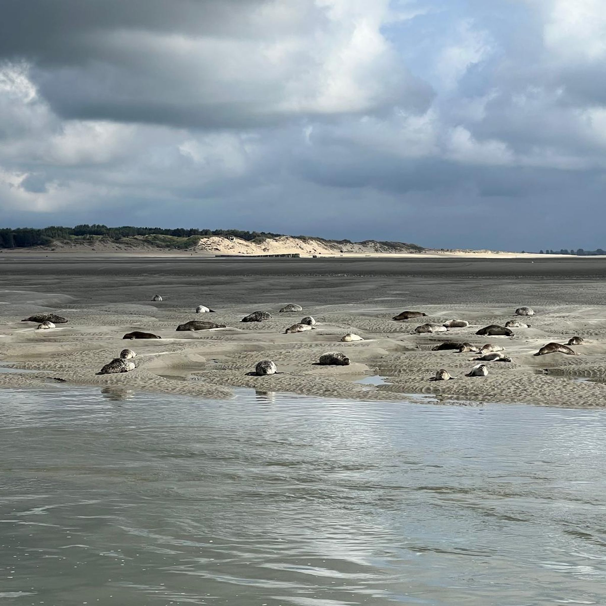
Great place for viewing wildfowl especially during the migration season.
0
0

Ainsdale to Southport is a beltin ride, though you need to navigate around the Training Camp, but there's a tarmac path to do so.
1
0

lovely village to stop lots of cafes
0
0

Takes you on to Coastal road heading to Southport
0
0
Was a cracking little bike shop. But the coffee shop upstairs is great
1
0

"Southport Pier opened in August 1860, it is the oldest iron pier in the country. Its length of 1,108 m (3,635 ft) makes it the second-longest in Great Britain, after Southend Pier. Although at one time spanning 1,340 m (4,380 ft), a succession of storms and fires during the late 19th and early 20th centuries reduced its length to that of the present day. The pier has been host to famous entertainers, including Charlie Chaplin in the early 20th century. It was visited by steamliners in its heyday, but silting of the channel meant that by the 1920s very few steamers were able to reach the pier, and the service ceased in 1929. The pier fell into disrepair throughout the late 20th century, and by 1990 it was operating at a significant annual loss with rising maintenance costs. The local council sought to have the pier demolished, but were defeated in their attempt by a single vote. The pier was significantly restored during 2000–2002, and opened to the public in May 2002. The Southport Pier Tramway ran from Southport Promenade to the pier head at various times in the pier's history with various rolling stock, most recently until June 2015. The pier is recorded in the National Heritage List for England as a designated Grade II listed building, first listed on 18 August 1975." Source: https://en.m.wikipedia.org/wiki/Southport_Pier
1
0


The road is a good a surface as any roads around. A lot workoutbetter than a couple of years ago. A good workout if the wind is against you but a lovely lane.
2
0
Frequently Asked Questions
What kind of terrain can I expect on road cycling routes around Scarisbrick?
Scarisbrick is primarily located on the West Lancashire Coastal Plain, meaning many road cycling routes feature generally flat terrain. This makes it accessible for a wide range of cyclists. However, some routes may extend into varied landscapes, offering a mix of gentle rides and slightly more demanding sections, though significant climbs are less common than in areas like the Forest of Bowland.
How many road cycling routes are available in the Scarisbrick area?
There are over 300 road cycling routes available around Scarisbrick, catering to various preferences and skill levels. These include a good mix of easy, moderate, and a few more challenging options.
Are there routes suitable for beginners or families in Scarisbrick?
Yes, Scarisbrick offers numerous easy road cycling routes, with over 140 options. The flat terrain of the West Lancashire Coastal Plain and sections along the Leeds & Liverpool Canal are particularly well-suited for less strenuous rides, making them ideal for beginners or family outings. An example of an easy route is the Shore Road – Boat House Brasserie loop from Meols Cop.
What are some notable landmarks or attractions I can see along road cycling routes?
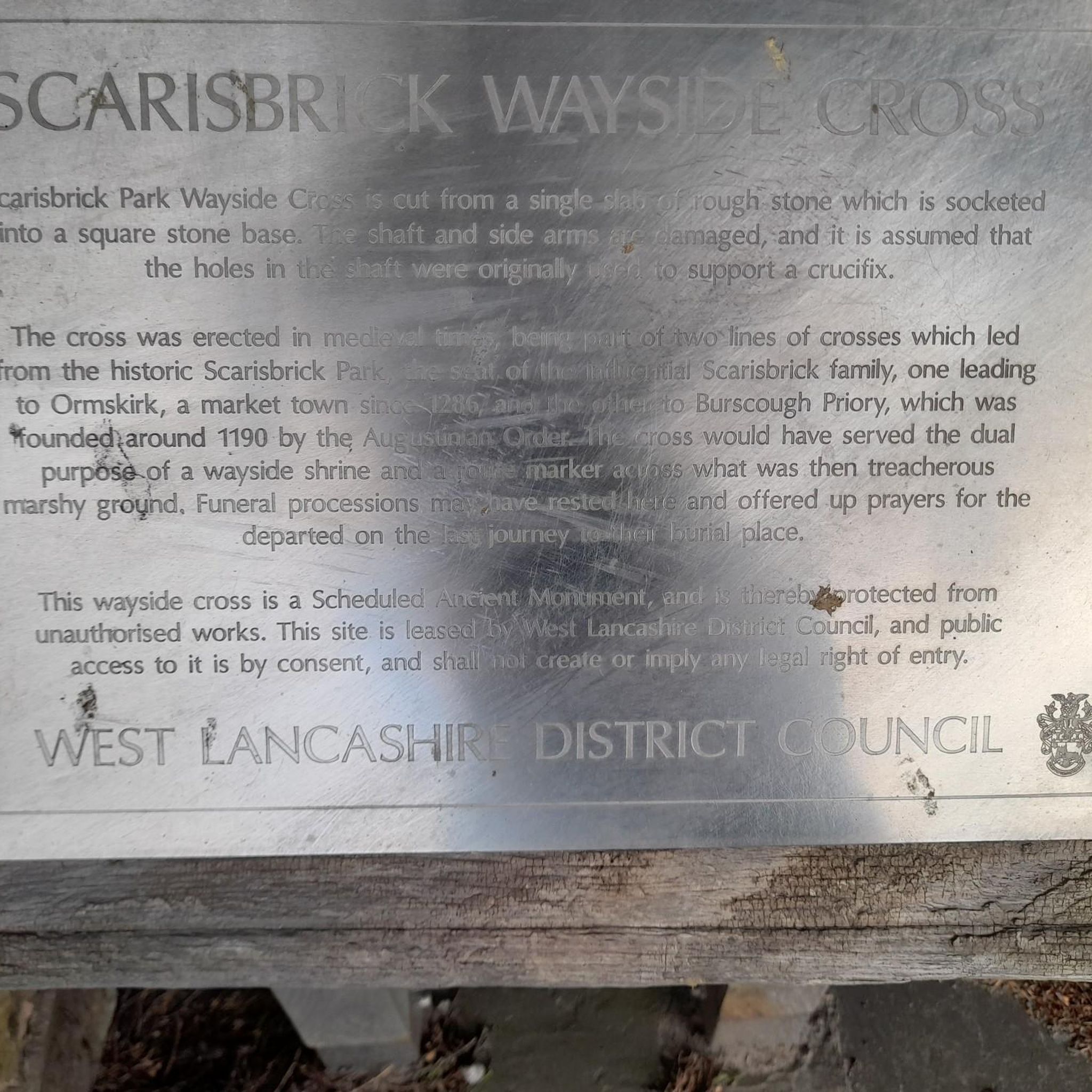
Road cycling routes around Scarisbrick often pass by interesting points. You might encounter the historic Southport Pier on coastal routes, or the charming Croston Stone Cross and Village Centre. The Martin Mere Wetland Centre is also a significant natural attraction that some longer routes may pass near.
Are there any long-distance road cycling options from Scarisbrick?
Yes, Scarisbrick serves as a great starting point for longer road cycling adventures. Routes like the Old Tram Bridge – Martin Mere Wetland Centre loop from Bescar Lane cover over 100 km, offering a substantial ride through the region's diverse landscapes.
What do other cyclists say about road cycling in Scarisbrick?
The road cycling routes around Scarisbrick are highly regarded by the komoot community, with an average rating of 4.5 stars from over 80 reviews. Cyclists frequently praise the quiet country lanes, the accessible flat terrain, and the scenic stretches along the Leeds & Liverpool Canal.
Are there circular road cycling routes available in Scarisbrick?
Yes, many road cycling routes in Scarisbrick are designed as loops, allowing you to start and finish in the same location. Examples include the popular Lancashire Cycleway Ormskirk Loop and the View of Blackpool – Leeds and Liverpool Canal loop from Meols Cop.
Can I find cafes or pubs along the road cycling routes for a break?
Yes, the region offers various opportunities for refreshment. Many routes pass through or near villages like Croston, which is known for its pleasant pubs and restaurants. You can also find specific cycling-friendly stops, such as the Twin Lakes Velo Café, which is a popular highlight among cyclists.
What are the best times of year to go road cycling in Scarisbrick?
The spring, summer, and early autumn months generally offer the most pleasant conditions for road cycling in Scarisbrick, with milder weather and longer daylight hours. While cycling is possible year-round, some unpaved sections, particularly along canal towpaths, can become muddy in winter. Always check local weather forecasts before heading out.
Are there road cycling routes that utilize the National Cycle Network (NCN) in Scarisbrick?
Yes, some routes in the Scarisbrick area incorporate sections of the National Cycle Network. For instance, the Green Lane (NCN 91) – Cedar Farm and Back Lane loop from Tarleton utilizes NCN 91, providing well-signposted paths for a scenic ride.
Where can I find information about cycling infrastructure and maps for the wider Lancashire area?
For broader information on cycling infrastructure and maps within Lancashire, you can consult resources provided by the local council. For example, you might find useful information on the Lancashire County Council website or specific cycle maps like the Ormskirk Cycle Map.
Most popular attractions around Scarisbrick

Get inspired with the komoot mobile app


Explore more
Browse the best Road cycling routes in other regions.
