The best walks and hikes around Penwortham
4.5
(499)
5,315
hikers
32
hikes
Hiking around Penwortham features routes with generally low elevation gain, often following the course of the River Ribble and its surrounding areas. The terrain includes riverside paths, parkland, and sections of former railway lines, offering accessible walking experiences. These trails provide opportunities to explore local natural features and green spaces within the region.
Best hiking trails around Penwortham
- The most popular hiking route is Miller Park Fountain – Old Railway Path to Avenham loop from Penwortham, a 3.3 miles (5.3 km) trail that takes 1 hour 22 minutes to complete. This easy route follows an old railway path and passes through parkland.
- Another top favourite among local hikers is Longton Marsh – Lemon Tree, Longton loop from South Ribble, a moderate 11.5 miles (18.5 km) path. This route explores marshland and areas near the River Ribble, offering varied scenery.
- Local hikers also love the Hiking loop from Ribble Steam Railway, an 8.0 miles (12.9 km) trail leading through riverside areas, often completed in about 3 hours 17 minutes.
- Hiking around Penwortham is defined by riverside paths, parkland, and marshland, with routes available for various ability levels.
- The routes in Penwortham are highly rated by the komoot community with an average score of 4.4 stars from nearly 90 reviews. More than 1,100 hikers have used komoot to explore Penwortham's varied terrain.
Last updated: August 1, 2026
4.5
(2)
26
hikers
7.43km
01:54
30m
30m
Easy hike. Great for any fitness level. Easily-accessible paths. Suitable for all skill levels.
5.0
(2)
31
hikers
Easy hike. Great for any fitness level. Easily-accessible paths. Suitable for all skill levels.

Sign up for free
4.4
(5)
9
hikers
18.3km
04:39
20m
20m
Moderate hike. Good fitness required. Easily-accessible paths. Suitable for all skill levels.
4.5
(2)
12
hikers
Moderate hike. Good fitness required. Easily-accessible paths. Suitable for all skill levels.
4.2
(5)
8
hikers
Moderate hike. Good fitness required. Easily-accessible paths. Suitable for all skill levels.
Get access to more routes and recommendations from other explorers.
Sign up for free
Already have an account?
Our route recommendations are based on thousands of hikes, rides, and runs completed by other people on komoot.
Start today with a free account
Your next adventure awaits.
Login or Signup


Tips from the Community


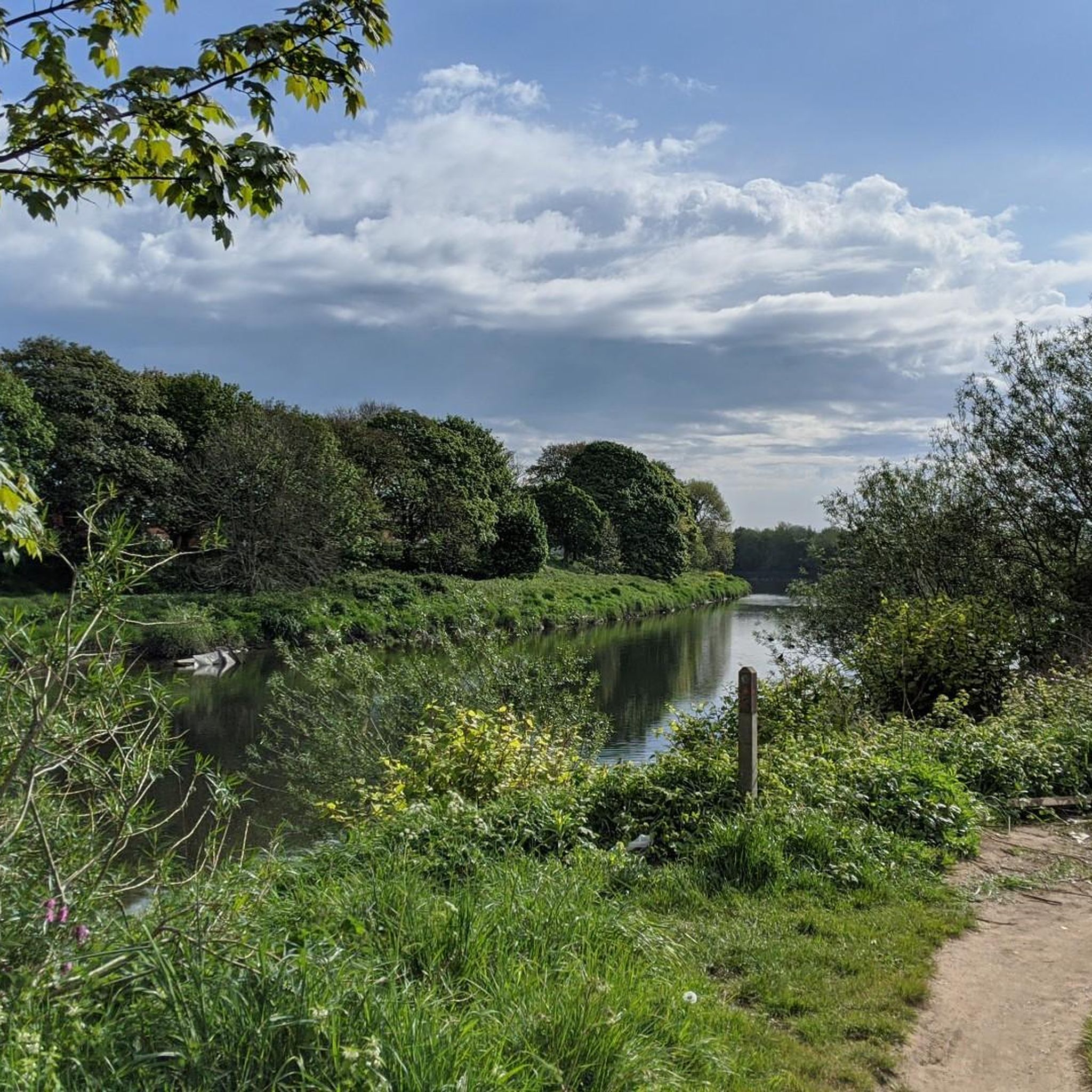
Walking along the Ribble Way, you can see many type of bird enjoying the mudflats, depending on the time of year.
0
0
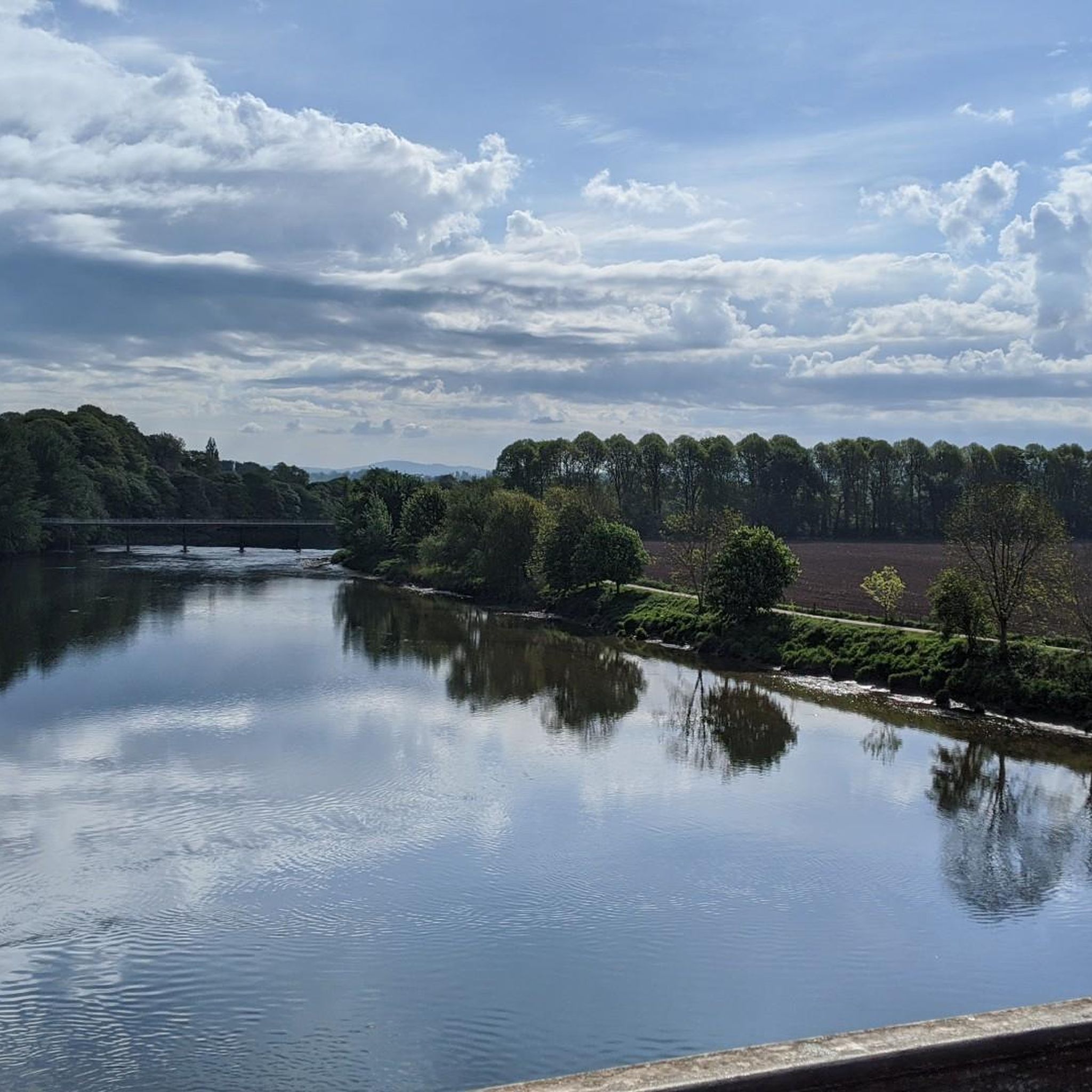
Walking Along the Ribble Way from Longton you will soon see Preston in the distance and the towering spire of St Walburge's church.
0
0


first trip on an electric bike, I'm disabled with paralysis of left arm and was slightly apprehensive not just about my disability but the fact I hadn't owned or ridden a push bike in over 40 years. what a rush this was, apart from a small part that was more of a downhill rough path with 4 barriers with which I decided to walk down, nice and very scenic route and totally enjoyed ever part of it
0
0


Frequently Asked Questions
What is the typical terrain and difficulty of hiking trails in Penwortham?
Hiking around Penwortham generally features routes with low elevation gain. The terrain primarily includes riverside paths along the River Ribble, parkland, and sections of former railway lines. Most of the 33 available routes are considered easy (21 routes), with 10 moderate and 2 difficult options for those seeking more challenge.
Are there any circular hiking routes in Penwortham?
Yes, many routes in Penwortham are circular. For example, the Miller Park Fountain – Old Railway Path to Avenham loop from Penwortham is a popular easy option. Another moderate circular trail is the Hiking loop from Ribble Steam Railway, which explores riverside areas.
What kind of natural features or landmarks can I expect to see on hikes in Penwortham?
Hikes in Penwortham offer a variety of natural features and landmarks. You can explore areas like Brockholes Nature Reserve, which features a lake. Other notable sights include the Hoghton Bottoms Weir and Viaduct, and the historic Miller Park Fountain.
Are there family-friendly hiking options in Penwortham?
Yes, Penwortham offers several family-friendly hiking options, particularly due to the generally low elevation gain and accessible paths. Many of the 21 easy routes are suitable for families. The Miller Park Fountain – Old Railway Path to Avenham loop from Penwortham is an easy trail following an old railway path and passing through parkland, making it a good choice for families.
Are dogs allowed on the hiking trails in Penwortham?
Many of the trails in Penwortham, especially those along riverside paths and in parkland, are generally dog-friendly. However, it's always recommended to keep dogs on a leash, especially in nature reserve areas like Brockholes, and to check specific signage for any restrictions on individual routes or in certain park sections.
What do other hikers enjoy most about hiking in Penwortham?
The area is highly rated by the komoot community, with an average score of 4.4 stars from nearly 90 reviews. Hikers often praise the accessible riverside paths, the varied scenery including parkland and marshland, and the opportunities to enjoy local green spaces.
How long are the typical hiking routes in Penwortham?
Hiking routes in Penwortham vary in length. You can find shorter, easy walks like the Miller Park Fountain – Old Railway Path to Avenham loop from Penwortham, which is about 3.3 miles (5.3 km). There are also longer, moderate options such as the Longton Marsh – Lemon Tree, Longton loop from South Ribble, which is around 11.5 miles (18.5 km).
Are there any trails that pass by lakes or water features in Penwortham?
Yes, several trails in the Penwortham area feature lakes and water features. For instance, routes near Brockholes Nature Reserve offer views of its lake. Other water features include Lower Kem Mill Pond and Worden Park Pond, which can be incorporated into various walks.
Are there options for longer, more challenging hikes in Penwortham?
While many routes are easy, there are options for longer, moderate hikes. For example, the Miller Park Fountain – Old Railway Path to Avenham loop from Lostock Hall is a moderate 9.8 km (6.1 miles) trail. The Longton Marsh – Lemon Tree, Longton loop from South Ribble is an even longer moderate route at 18.5 km (11.5 miles).
How many hiking trails are available in Penwortham?
There are over 30 hiking routes available around Penwortham, offering a diverse range of experiences from easy strolls to more moderate excursions. In total, komoot lists 33 tours in the area.
Are there any trails suitable for winter walks in Penwortham?
Given the generally low elevation gain and well-maintained paths along the River Ribble and former railway lines, many trails in Penwortham can be suitable for winter walks, provided conditions are safe. Always check local weather and trail conditions before heading out, as some riverside paths might be prone to mud after heavy rain.
Are there any cafes or pubs near the hiking trails in Penwortham?
While specific cafes or pubs directly on every trail are not listed, the Penwortham area, being a populated region, offers various establishments. For example, the Twin Lakes Velo Café is a highlight that could be incorporated into a route. Many routes start or pass near residential areas where local amenities are available.
Most popular routes around Penwortham
Most popular attractions around Penwortham

Get inspired with the komoot mobile app


Explore more
Browse the best Hikes in other regions.
