The best walks and hikes around Longridge
4.4
(1603)
11,492
hikers
374
hikes
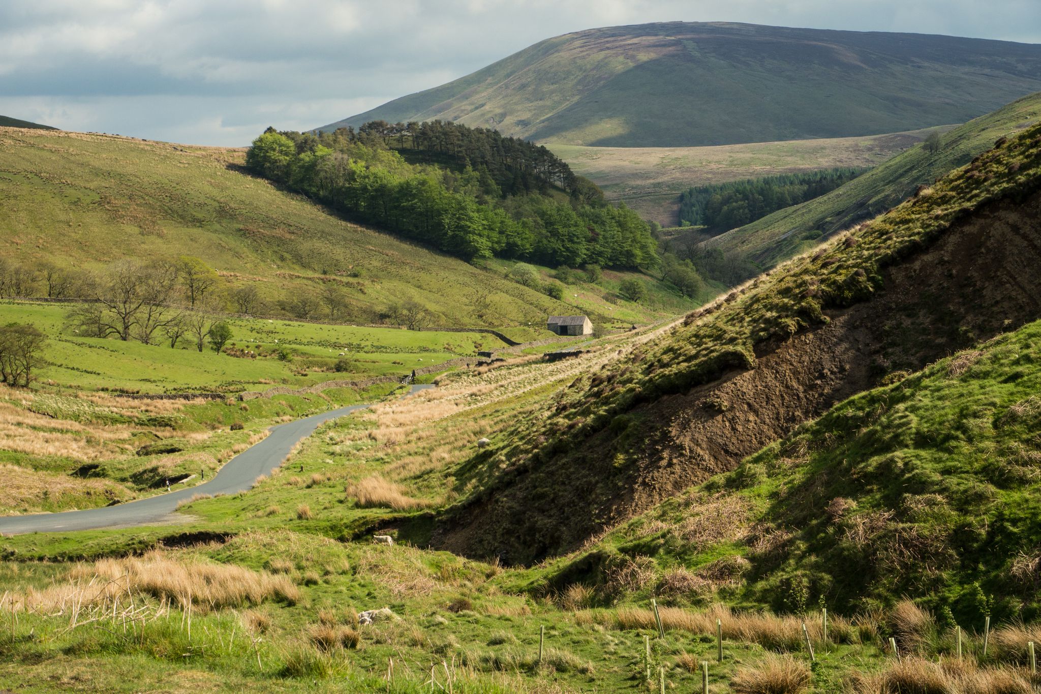
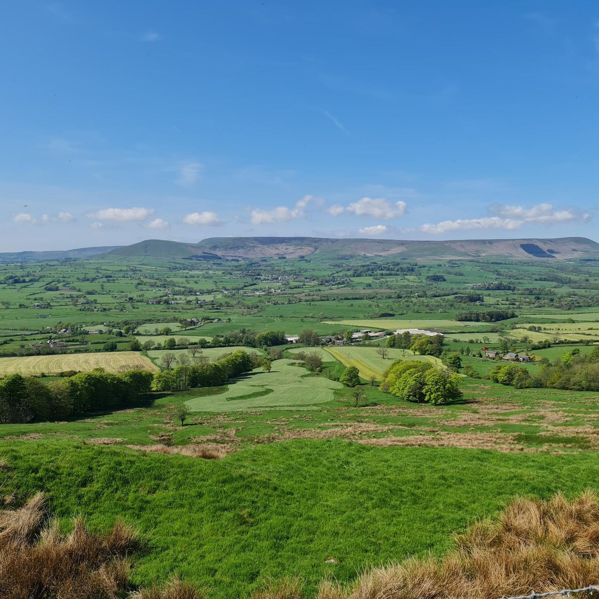
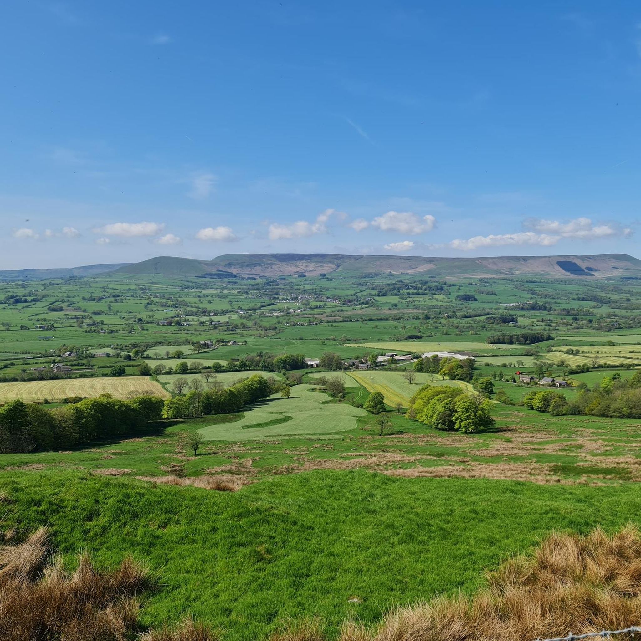
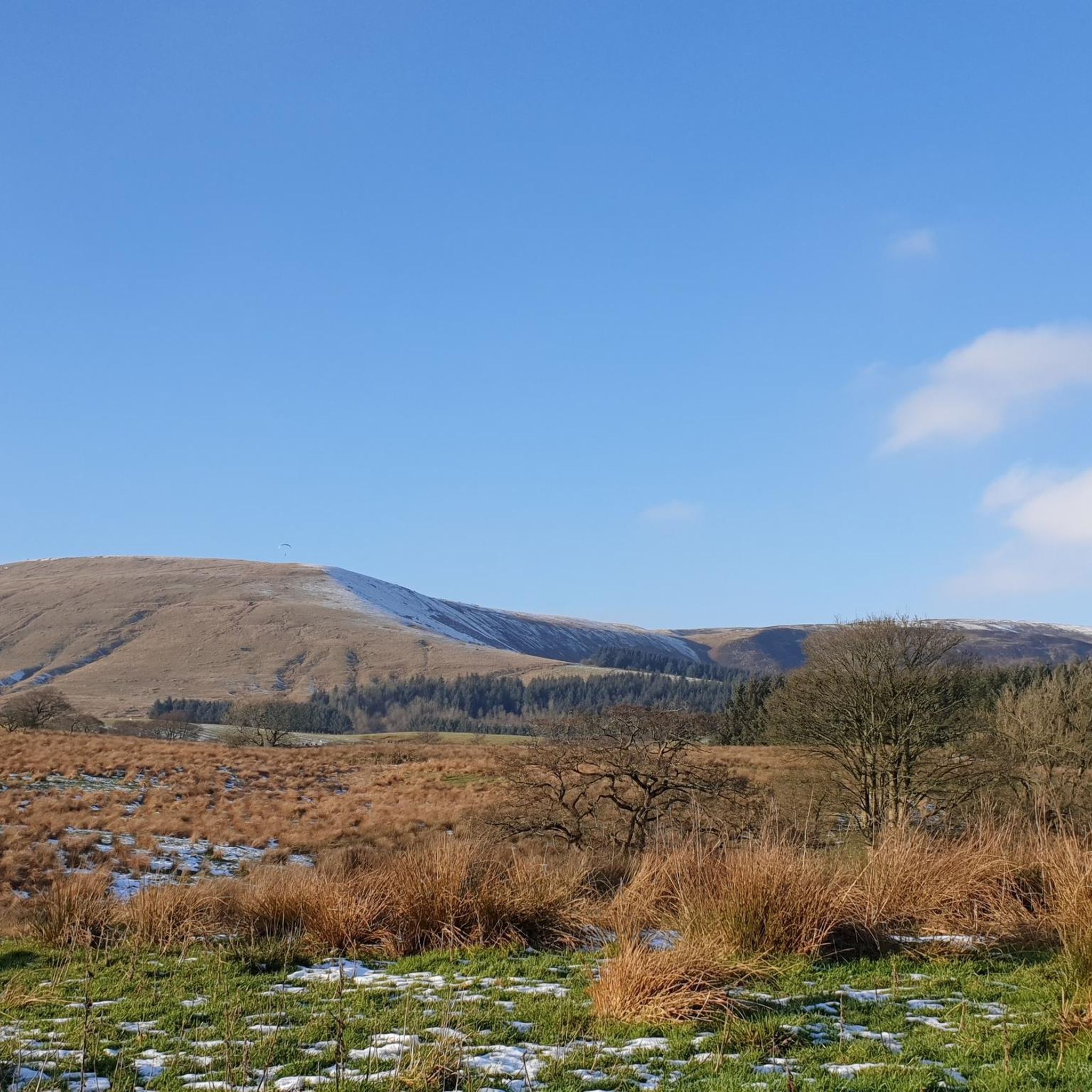
Hiking around Longridge explores the landscape on the western edge of the Forest of Bowland, an Area of Outstanding Natural Beauty. The terrain is characterized by upland fells, rolling hills, and river valleys formed by the Ribble and Calder rivers. Longridge Fell, recognized as the most southerly fell in England, forms a prominent feature with well-established footpaths and moorlands. The area provides a starting point for routes that access both gentle riverside paths and more elevated moorland trails.
Best hiking trails around Longridge
- The most popular hiking route is Longridge Fell loop – Forest of Bowland, a 3.6 miles (5.8 km) trail that takes 1 hour 37 minutes to complete. This route offers an accessible way to experience the area's most prominent fell.
- Another top favourite among local hikers is Ribchester Arms – Ribchester Village loop from Longridge, a moderate 10.3 miles (16.6 km) path. The trail follows sections of the River Ribble and passes the site of a Roman fort.
- Local hikers also love the Hiking loop from Lancashire, a 3.0 miles (4.9 km) trail leading through varied countryside, often completed in about 1 hour 19 minutes.
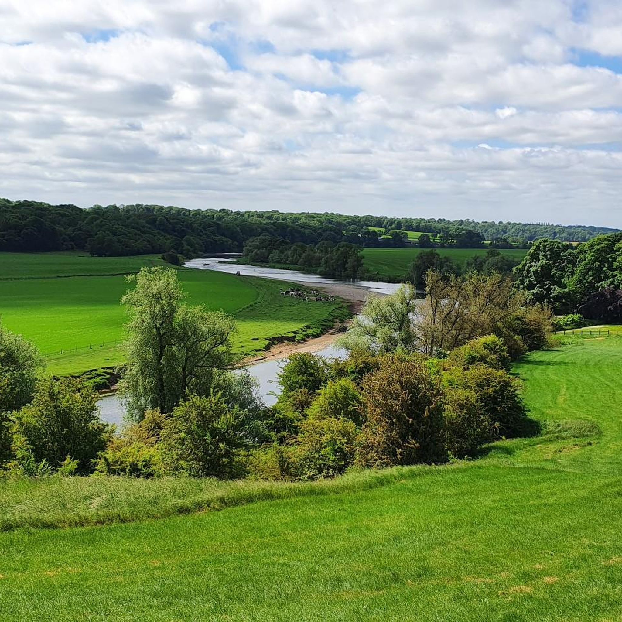
- Hiking around Longridge is defined by upland moorland, wooded river valleys, and rolling farmland. The network of paths provides options for various ability levels, from short, family-friendly walks to more challenging hikes.
- The routes in Longridge are highly rated by the komoot community with an average score of 4.3 stars from over 1,300 reviews. More than 10,000 hikers have used komoot to explore Longridge's varied terrain.
Last updated: September 28, 2026
4.5
(10)
54
hikers
5.84km
01:37
100m
100m
Easy hike. Great for any fitness level. Easily-accessible paths. Suitable for all skill levels.
4.0
(9)
68
hikers
10.9km
03:02
210m
210m
Moderate hike. Good fitness required. Easily-accessible paths. Suitable for all skill levels.

4.0
(3)
73
hikers
4.85km
01:19
70m
70m
Easy hike. Great for any fitness level. Easily-accessible paths. Suitable for all skill levels.
5.0
(2)
6
hikers
16.6km
04:25
180m
180m
Moderate hike. Good fitness required. Easily-accessible paths. Suitable for all skill levels.
5.0
(1)
8
hikers
7.96km
02:13
150m
140m
Moderate hike. Good fitness required. Easily-accessible paths. Suitable for all skill levels.
Get access to more routes and recommendations from other explorers.
Already have an account?
Our route recommendations are based on thousands of hikes, rides, and runs completed by other people on komoot.
Start today with a free account
Your next adventure awaits.
Other adventures around Longridge

Tips from the Community

TP4535 - Longridge Fell | Trig Point | TrigpointingUK | TrigpointingUK https://share.google/z9V3FwjJe70qzF6sy
0
0

Quirky Cafe, well worth a stop for the great food and surroundings.
0
0

From the Car park, if you stay to the left along the path, you’ll be blessed with stunning views of Beacon Fell and Parlick Fell. As you carry along this path, you’ll see in the distance, the shadow of one of the three peaks, Pen-Y-Ghent. Come here on a clear day and especially at sunset 👌🏼
0
0

Amazing place enjoyed the scenery but climbs was a little tough
1
0
The Forest of Bowland National Landscape covers 312 square miles of rural Lancashire and adjacent Yorkshire. From Hurst Green in the south to Wennington in the North, the Forest of Bowland is dotted with charming stone villages, some of which date as far back as pre-historic times. It took me breath away when I saw the views here
3
0


Family friendly walk from Jeffrey Hill car park. Short, out and back route & a great spot for sunset.
0
0

Longridge Fell is a popular destination for walkers and hikers. There are well-established footpaths and trails that traverse the fell, allowing visitors to explore its woodlands, moorlands, and panoramic viewpoints.
0
0
Frequently Asked Questions
Are there many hiking trails to choose from around Longridge?
Yes, there are over 350 hiking routes to explore in the Longridge area. These range from easy strolls to more demanding treks, with roughly half the trails rated as easy and the other half as moderate, ensuring options for all fitness levels.
What do other hikers think of the trails in Longridge?
The trails around Longridge are highly regarded by the komoot community, which includes over 10,000 hikers. The routes have an average rating of 4.3 out of 5 stars, with many people praising the mix of upland fell scenery and tranquil river valley paths.
Where can I find a good family-friendly or pram-friendly walk?
For an accessible walk, consider visiting Brockholes Nature Reserve. It's a popular 250-acre site with well-maintained paths through woodland and around lakes, making it suitable for families with prams. Another excellent option is Beacon Fell Country Park, which is highly praised for its clearly marked footpaths, facilities, and beautiful surroundings.
Are dogs allowed on the hiking trails near Longridge?
Many trails around Longridge are dog-friendly, but it's important to be mindful of the landscape. When walking on the open moorland of the Forest of Bowland, dogs should be kept on a lead, especially during bird nesting season (typically March to July) and around livestock. Wooded paths like the Mason's Wood Trail are often great for off-leash walks where permitted.
Can I combine a circular walk with a visit to a pub?
Absolutely. The area is well-known for its pub walks. A great option is the Hiking loop from Ribchester, which takes you through lovely countryside near the historic village of Ribchester, where you'll find several welcoming pubs to relax in after your hike.
Where can I find the best views on a hike near Longridge?
For some of the most expansive views, a hike up Longridge Fell is essential. As the most southerly fell in Great Britain, its summit offers panoramic vistas across the Fylde Plain. On a clear day, you can see as far as the Welsh Mountains and the Isle of Man. The nearby Nicky Nook also provides breathtaking views from its summit.
Are there any challenging hikes for experienced walkers?
Yes, for a more demanding trek, the Hiking loop from Lancashire offers a good challenge. This moderate 6.6-mile (10.7 km) route involves more significant elevation gain and explores the varied terrain on the edge of the Forest of Bowland, requiring good fitness.
What are some popular places for hiking in the Longridge area?
Besides the trails themselves, several key locations are popular starting points or destinations for hikers:
- Forest of Bowland National Landscape: A vast and stunning area of natural beauty, offering remote and tranquil hiking experiences.
- Beacon Fell Country Park: A top-rated park known for its well-marked paths, visitor centre, and panoramic views.
- The Tolkien Trail: A highly regarded themed walk, praised for being accessible and very dog-friendly.
- Nicky Nook: A popular hiking area offering a rewarding climb with fantastic views from the top.
Where is a good place to park for a walk up Longridge Fell?
There are several small car parks and lay-bys that serve as starting points for walks on Longridge Fell. One of the most common starting points is the Old Clitheroe Road car park. The Hiking loop from Longridge Fell starts from a convenient spot to access the main paths to the summit.
Are there any walks with historical interest?
Yes, the region is rich in history. For a walk that combines scenery with ancient history, try the Ribchester Village – Bremetennacum Roman Fort Ruins loop from Longridge. This trail follows the River Ribble and takes you to the site of the Roman fort of Bremetennacum in the historic village of Ribchester.
What kind of scenery can I expect on a typical Longridge hike?
The landscape is very diverse. You can expect to encounter the open, heather-clad moorland of Longridge Fell, tranquil wooded valleys, and gentle paths alongside the River Ribble. The area is a classic example of upland Lancashire, defined by its rolling hills and scenic river corridors.
Most popular attractions around Longridge

Get inspired with the komoot mobile app


Explore more
Browse the best Hikes in other regions.
