The best walks and hikes around Gisburn
4.5
(1081)
9,856
hikers
477
hikes
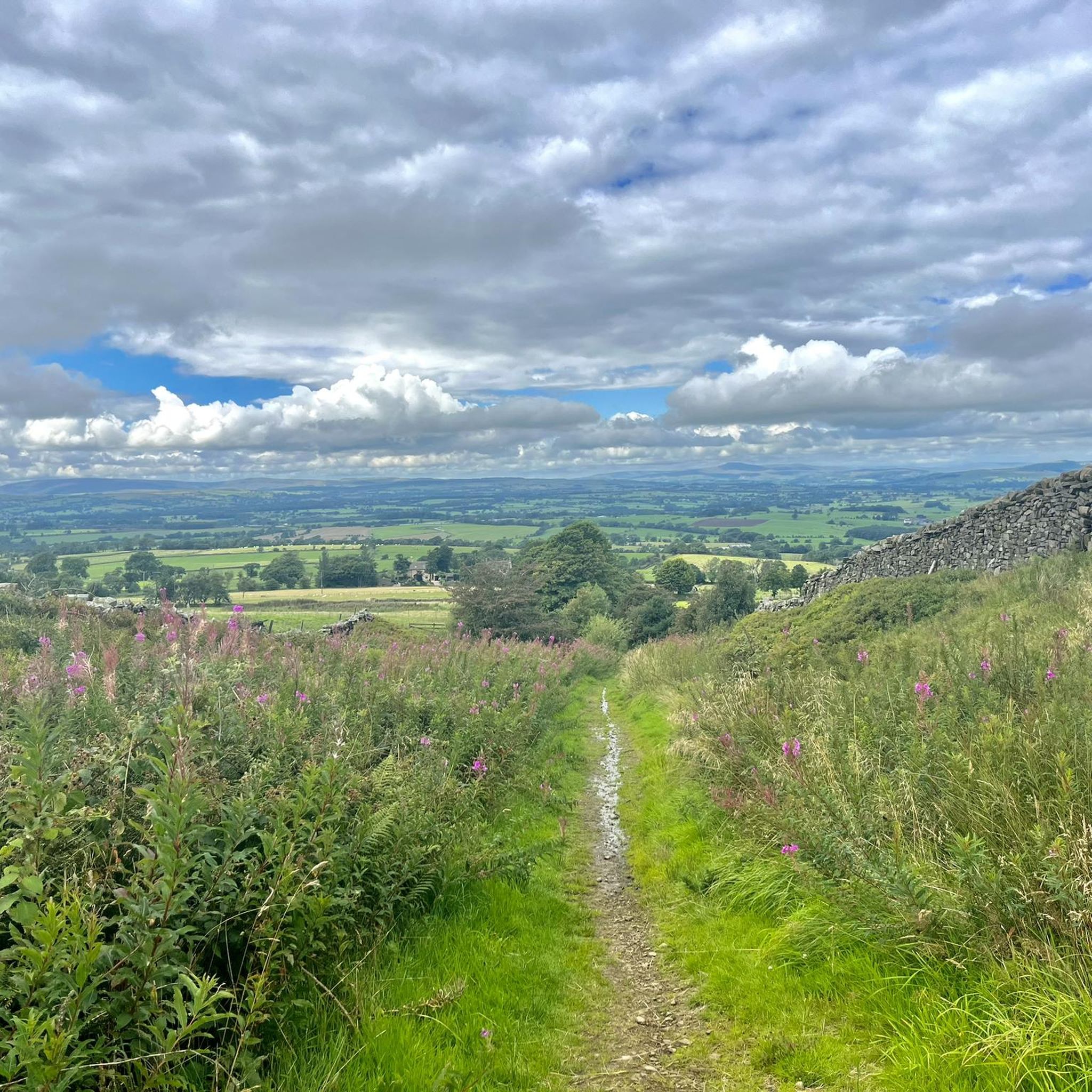
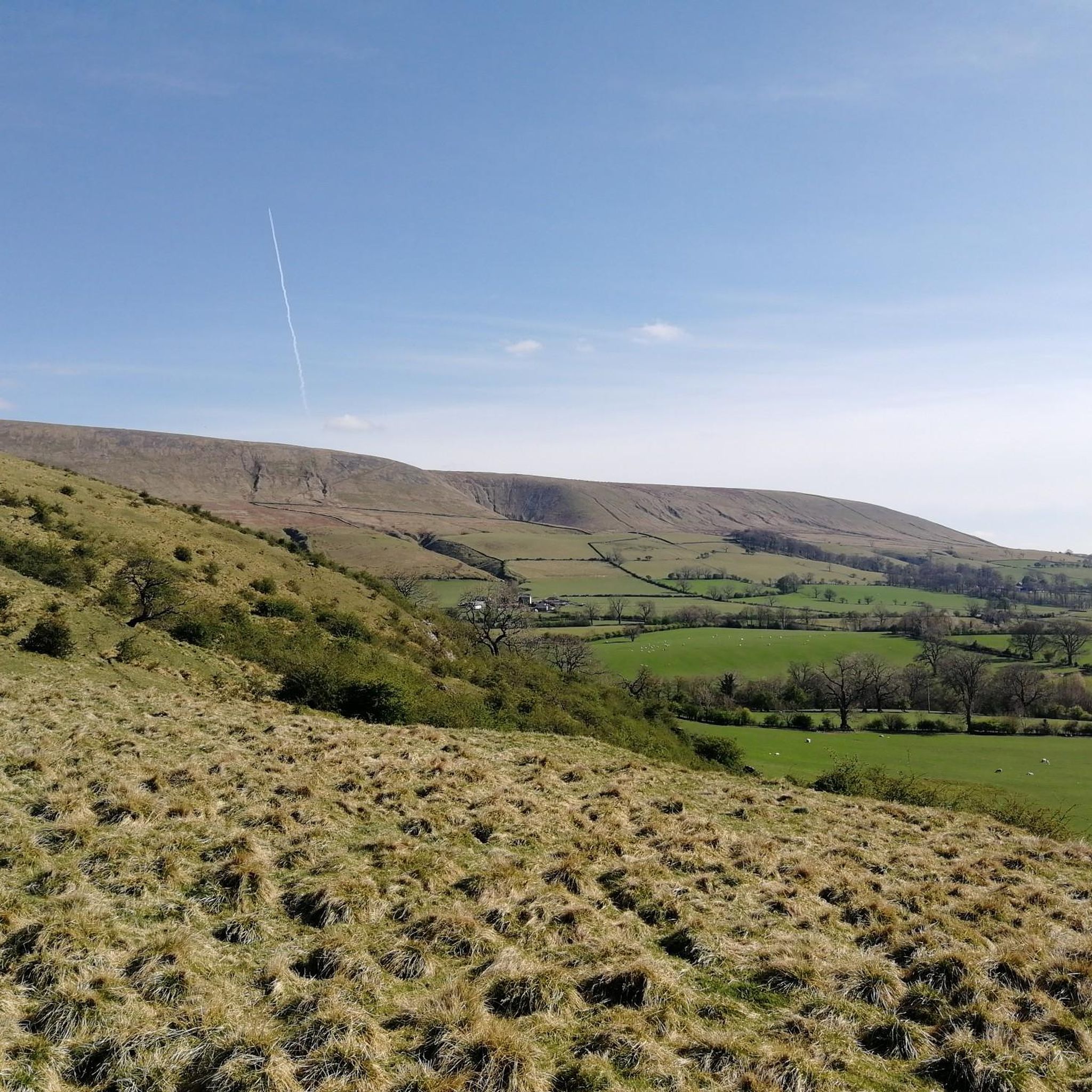
Hiking around Gisburn offers access to the varied landscapes of the Forest of Bowland, an Area of Outstanding Natural Beauty. The region features a mix of rolling hills, open pastures, and dense woodlands, providing diverse terrain for outdoor activities. Numerous rivers and streams cut through the area, contributing to its natural character. The elevation changes are generally gentle, making many routes accessible for various fitness levels.
Best hiking trails around Gisburn
- The most popular hiking route is Forest Path Downhill…
Last updated: May 24, 2026
3.5
(4)
16
hikers
10.0km
02:42
120m
120m
Moderate hike. Good fitness required. Easily-accessible paths. Suitable for all skill levels.
4.0
(2)
6
hikers
8.67km
02:18
90m
90m
Moderate hike. Good fitness required. Easily-accessible paths. Suitable for all skill levels.

Sign up for free
4.0
(2)
5
hikers
6.81km
01:48
60m
60m
Easy hike. Great for any fitness level. Easily-accessible paths. Suitable for all skill levels.
3.7
(3)
6
hikers
6.56km
01:48
110m
110m
Easy hike. Great for any fitness level. Easily-accessible paths. Suitable for all skill levels.
3.0
(2)
4
hikers
9.33km
02:30
110m
110m
Moderate hike. Good fitness required. Easily-accessible paths. Suitable for all skill levels.
Get access to more routes and recommendations from other explorers.
Sign up for free
Already have an account?
Our route recommendations are based on thousands of hikes, rides, and runs completed by other people on komoot.
Start today with a free account
Your next adventure awaits.
Login or Signup
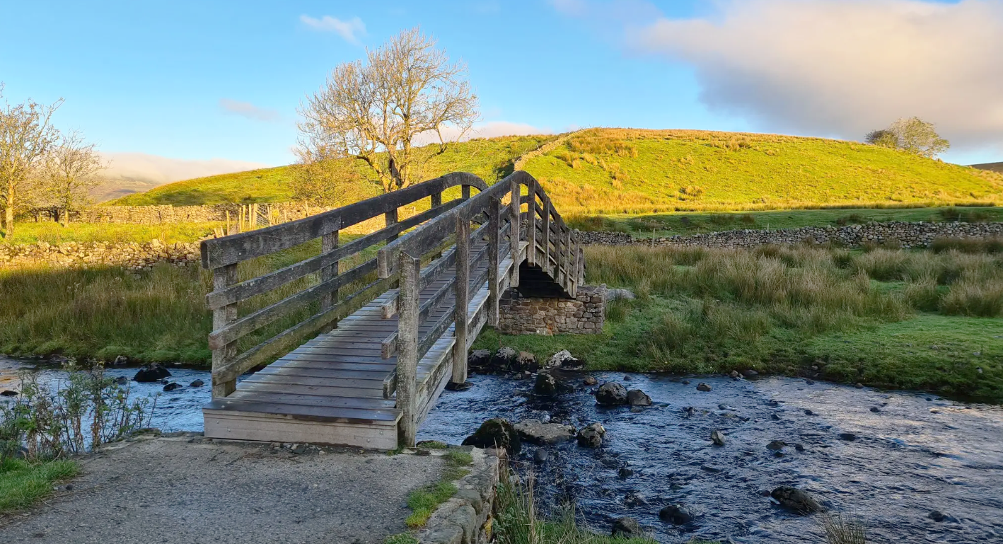
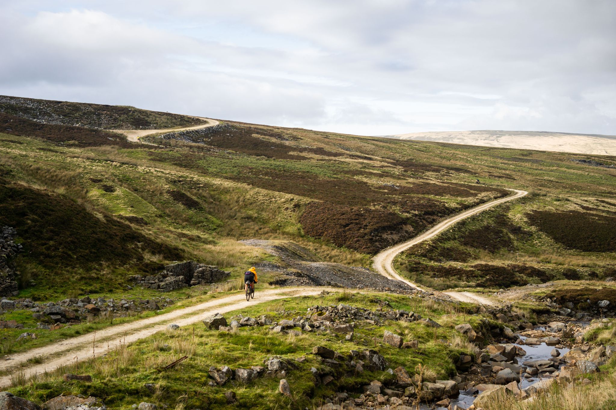
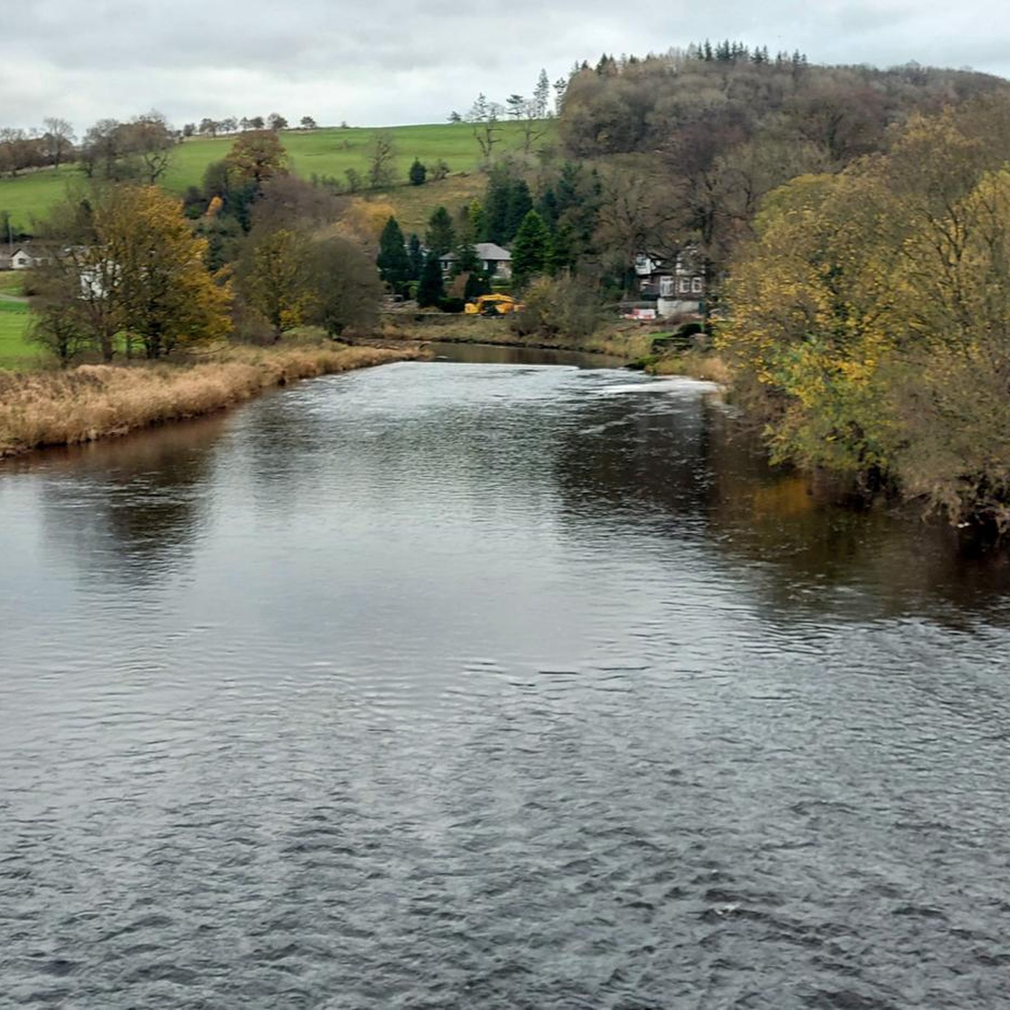
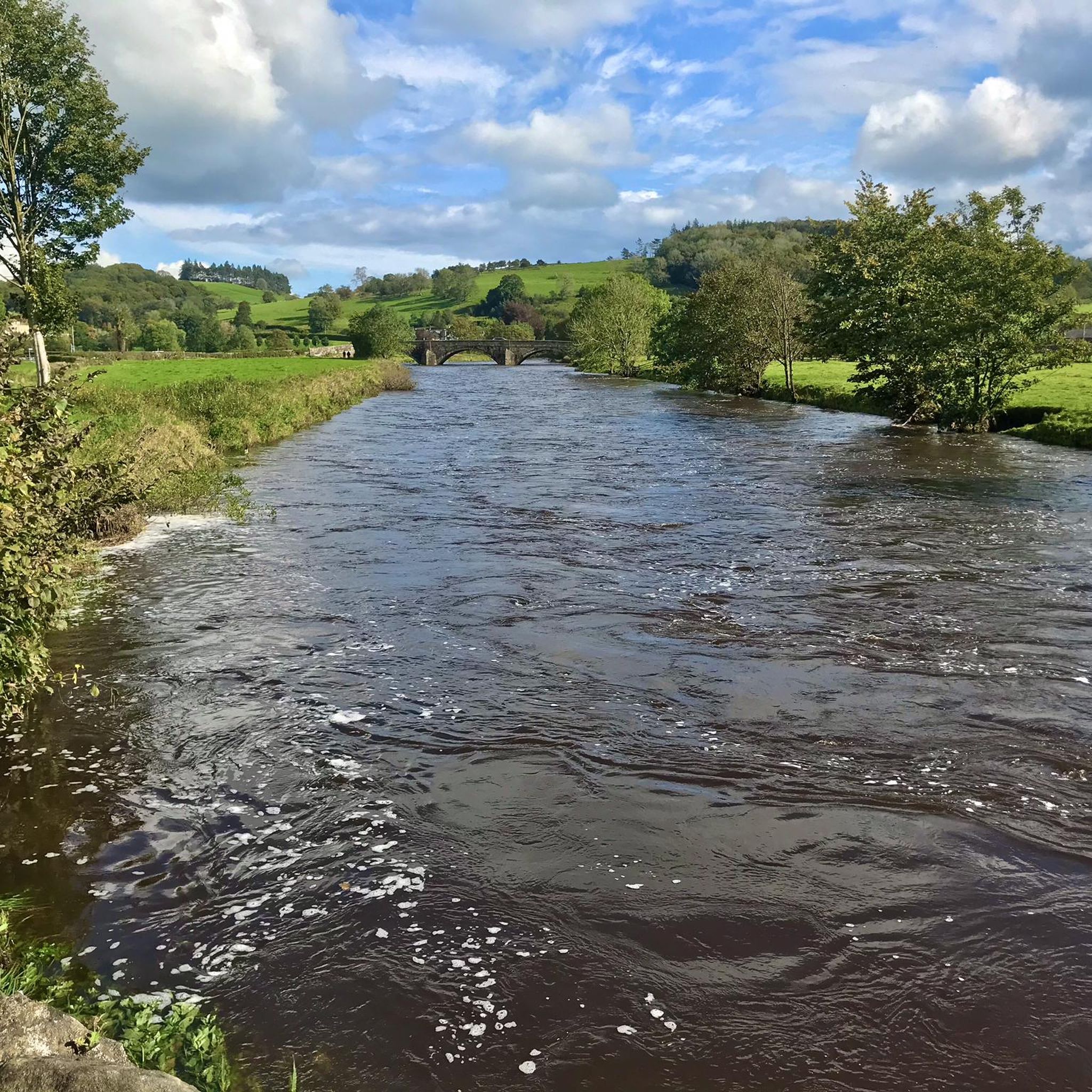



Tips from the Community

Spring Field Hill 157.4m P25.9 (516ft) County of Yorkshire Definitive List Summit
0
0

The Pennine Bridleway starts here with some very gnarly rocky paths - fine when dry but a bit of a slip and slide when they are wet
0
0
Nice little leg stretcher on the road heading South
0
0


An impressive country hotel and restaurant. Book for a wonderful stay on the edge of the Forest of Bowland or stop in for a posh meal while out walking. The Stirk House Circular Walk was created from here, it's a 16km loop of the river and local towns.
0
0


Frequently Asked Questions
How many hiking trails are available around Gisburn?
Gisburn offers a wide variety of hiking experiences, with over 480 routes available. These range from easy strolls to more challenging moderate hikes, catering to different fitness levels.
What makes hiking in Gisburn unique?
Hiking around Gisburn provides access to the diverse landscapes of the Forest of Bowland, an Area of Outstanding Natural Beauty. You'll find a mix of rolling hills, expansive open pastures, and dense woodlands, all crisscrossed by numerous rivers and streams. The elevation changes are generally gentle, making many routes enjoyable for various abilities.
Are there easy walks suitable for beginners or families in Gisburn?
Yes, Gisburn is very welcoming for beginners and families, with over 240 easy routes. A great option is the Hiking loop from Gisburn, which is 4.0 miles (6.5 km) and typically takes less than 2 hours to complete through varied countryside. Another gentle choice is the Gisburn Village loop from Gisburn, a shorter 1.8-mile (2.9 km) path.
Can I find circular hiking routes in Gisburn?
Absolutely. Many of the trails in Gisburn are circular, allowing you to start and end at the same point. For example, the popular Forest Path Downhill – Paythorne Bridge loop from Gisburn is a 6.2-mile (10.0 km) route featuring a scenic forest path. Another excellent circular option is The Forest of Bowland – Gisburn Village loop from Gisburn, which is 5.4 miles (8.7 km) and explores the wider AONB.
Are Gisburn's hiking trails dog-friendly?
Many trails in Gisburn are suitable for dogs, but it's important to keep them under control, especially when passing through livestock fields or nature conservation areas. Always check local signage for specific restrictions and be mindful of other hikers and wildlife. The varied terrain, from woodlands to open pastures, offers plenty for dogs to enjoy.
What is the best time of year to go hiking in Gisburn?
Gisburn offers enjoyable hiking year-round. Spring brings blooming wildflowers and newborn lambs, while summer provides longer daylight hours and warmer temperatures. Autumn showcases beautiful fall foliage across the woodlands. Even in winter, with appropriate gear, the trails can be peaceful and scenic, though some paths might be muddy or icy. Always check weather conditions before heading out.
Are there any good viewpoints or landmarks to discover on a hike?
Yes, the area around Gisburn is rich with natural beauty and interesting landmarks. You can find several prominent viewpoints and peaks nearby. Consider exploring Weets Hill Summit & Trig Point or Pinhaw Beacon for panoramic views. The iconic Pendle Hill summit trig point is also within reach for those looking for a more challenging ascent and historical significance.
Where can I park when hiking in Gisburn?
Parking is generally available in and around Gisburn village, as well as at various trailheads within Gisburn Forest. Specific parking details can often be found on individual route descriptions on komoot. It's advisable to arrive early during peak times, especially on weekends, to secure a spot.
Are there places to eat or drink near the hiking trails?
Yes, Gisburn village itself offers options for refreshments. Additionally, you might find pubs or cafes in nearby villages within the Forest of Bowland, such as Downham Village, which are popular stops for hikers. It's always a good idea to check opening times, especially if you're relying on a specific establishment.
What do other hikers enjoy most about hiking in Gisburn?
The hiking trails in Gisburn are highly regarded by the komoot community, with an average rating of 4.5 stars from over 900 reviews. Hikers frequently praise the diverse scenery, from tranquil woodlands to open pastures, and the well-maintained paths. The accessibility of routes for various skill levels and the peaceful atmosphere of the Forest of Bowland are also commonly highlighted.
Is Gisburn Forest a good place for wildlife spotting?
Gisburn Forest, being part of the Forest of Bowland AONB, is a rich habitat for various wildlife. Keep an eye out for deer, various bird species including birds of prey, and smaller mammals. The dense woodlands and open areas provide diverse environments for different animals. Early mornings or late evenings are often the best times for spotting wildlife.
How long do hikes in Gisburn typically take?
Hike durations in Gisburn vary significantly depending on the route's length and your pace. Shorter, easy walks like the Gisburn Village loop from Gisburn can be completed in about an hour. Moderate routes, such as the Forest Path Downhill – Paythorne Bridge loop from Gisburn, typically take around 2.5 to 3 hours. Longer routes can extend to 4 hours or more.
Most popular routes around Gisburn
Most popular attractions around Gisburn

Get inspired with the komoot mobile app


Explore more
Browse the best Hikes in other regions.
