The best walks and hikes around Clayton-Le-Dale
4.4
(1247)
8,690
hikers
356
hikes
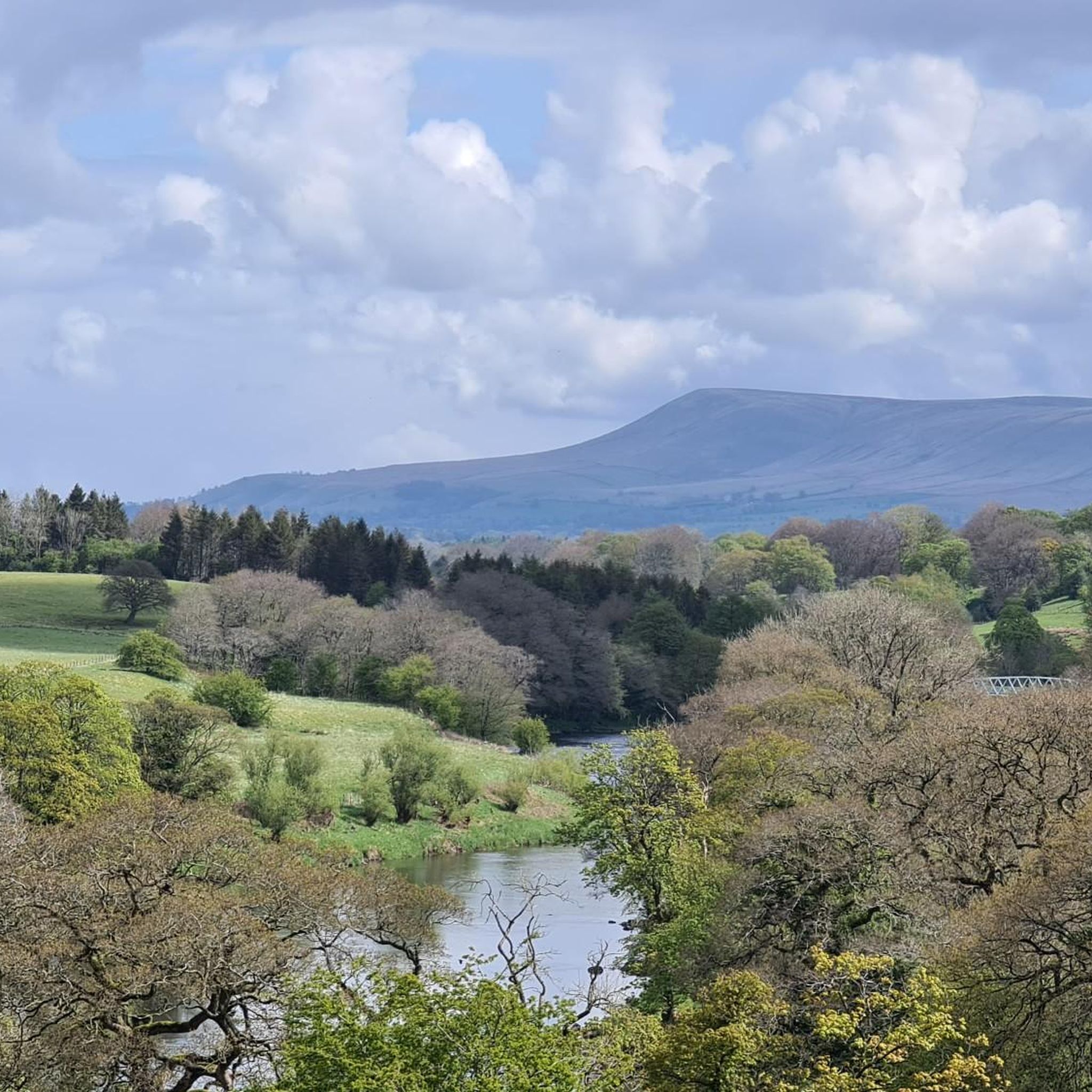
Hiking around Clayton-Le-Dale offers diverse landscapes in Lancashire's Ribble Valley. The area features significant waterways, including the River Ribble and River Calder, with their confluence being a notable natural point. Topography varies from approximately 75 feet at the river to nearly 500 feet, incorporating ancient woodlands, tranquil lakes, and geological formations like Yoredale rocks and Millstone Grit. Longridge Fell provides elevated terrain with panoramic views over the Forest of Bowland.
Best hiking trails in Clayton-Le-Dale
- The most popular hiking route…
Last updated: May 12, 2026
4.7
(10)
48
hikers
7.22km
01:55
70m
70m
Easy hike. Great for any fitness level. Easily-accessible paths. Suitable for all skill levels.
4.3
(6)
21
hikers
Moderate hike. Good fitness required. Easily-accessible paths. Suitable for all skill levels.

Sign up for free
5.0
(1)
28
hikers
7.79km
02:09
130m
130m
Moderate hike. Good fitness required. Easily-accessible paths. Suitable for all skill levels.
4.5
(2)
7
hikers
14.7km
03:59
200m
200m
Moderate hike. Good fitness required. Easily-accessible paths. Suitable for all skill levels.
8
hikers
7.39km
01:58
80m
80m
Easy hike. Great for any fitness level. Easily-accessible paths. Suitable for all skill levels.
Get access to more routes and recommendations from other explorers.
Sign up for free
Already have an account?
Our route recommendations are based on thousands of hikes, rides, and runs completed by other people on komoot.
Start today with a free account
Your next adventure awaits.
Login or Signup

Tips from the Community

Quirky Cafe, well worth a stop for the great food and surroundings.
0
0

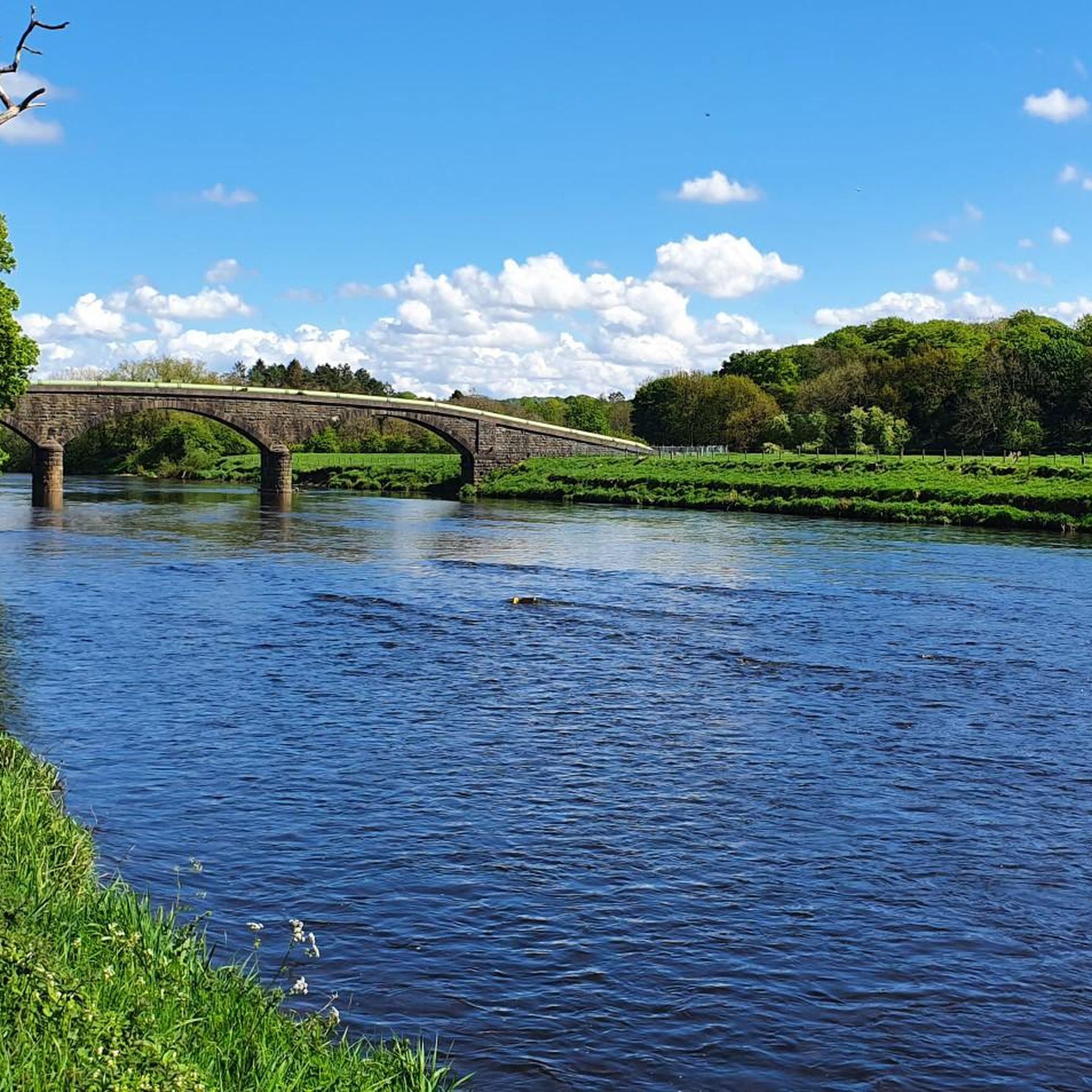
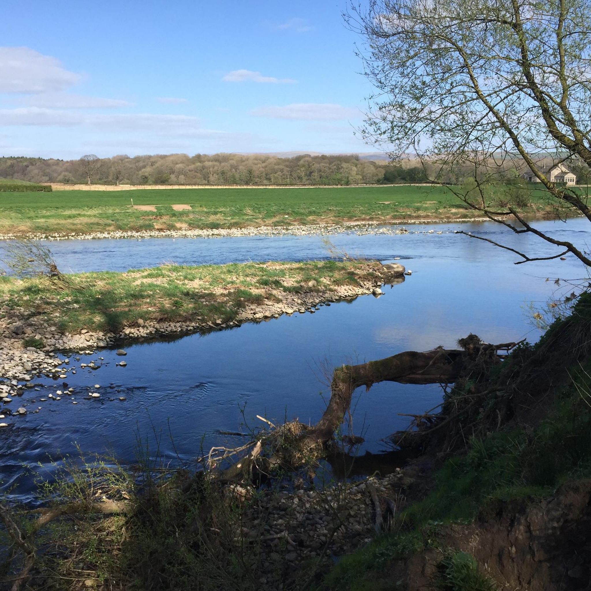
There a few good spots along this stretch of the River Ribble to go for a swim, to stop for a brew or your lunch.
0
0
I have not tried the food there, but the beer garden was a good place to stop for a drink mid-way when I extended the Tolkien trail to start at Marles wood in the summer. And the cosy fire-place was a treat at the end of the classic Tolkien trail in the winter.
0
0

Great to grab a sandwich or coffee before the walk. Delicious omelettes.
0
0

Fantastic for a mid ride stop.. great coffee, great food.. a must!!!
0
0

public toilets at the start of a number of potential routes
0
0
car park, not well advertised. has an honety box for payment
0
0
Frequently Asked Questions
How many hiking trails are available in Clayton-Le-Dale?
Clayton-Le-Dale offers a wide variety of hiking opportunities, with over 350 routes documented on komoot. These trails cater to different preferences, ranging from easy riverside strolls to more challenging ascents.
What types of landscapes can I expect to see while hiking in Clayton-Le-Dale?
The region is characterized by its diverse natural beauty. You'll encounter significant waterways like the River Ribble and River Calder, ancient woodlands, and tranquil lakes. Elevated areas such as Longridge Fell provide stunning panoramic views over the Forest of Bowland and the Pennines.
Are there any easy, family-friendly hiking routes in the area?
Yes, Clayton-Le-Dale has numerous easy trails suitable for families. For instance, the Dinkley Bridge – Heron Spot on the Riverside loop from Salesbury is an easy 7.2 km route offering pleasant riverside views. There are nearly 200 easy routes in total, many of which are suitable for a relaxed family outing.
What are some notable landmarks or attractions to look out for on the trails?
Hikers can discover several interesting landmarks. The Brockholes Nature Reserve is a highlight with its wetlands and wildlife. You might also encounter the impressive Hoghton Bottoms Weir and Viaduct, or the historical Roman remains near Ribchester, such as those explored on the Ribchester Village – Bremetennacum Roman Fort Ruins loop from Ribchester.
Are there any circular hiking routes in Clayton-Le-Dale?
Many of the trails in Clayton-Le-Dale are circular, allowing you to start and end at the same point. Examples include the Dinkley Bridge – Heron Spot on the Riverside loop from Salesbury and the Public Toilets at Hurst Green – Millie's Cafe loop from Salesbury, providing convenient options for exploration.
What do other hikers enjoy most about the trails in Clayton-Le-Dale?
The trails in Clayton-Le-Dale are highly regarded by the komoot community, with an average rating of 4.4 stars from over 1,100 reviews. Hikers frequently praise the area's diverse scenery, from tranquil riverside paths to elevated viewpoints offering expansive vistas, and the blend of natural beauty with historical sites.
Are there any trails that offer panoramic views?
Absolutely. Longridge Fell is a prominent feature in the area, and trails traversing it, such as those leading to the Trig point at Longridge Fell summit, offer stunning panoramic views over the Forest of Bowland and beyond. Many other routes also include climbs that reward hikers with spectacular scenery.
Can I find trails that follow rivers or have water features?
Yes, the region is defined by its significant waterways. Many routes, like the Dinkley Bridge – Heron Spot on the Riverside loop from Salesbury, offer picturesque riverside walks along the River Ribble. You can also visit the Confluence of the Rivers Calder and Ribble, a natural monument.
What is the best time of year to go hiking in Clayton-Le-Dale?
Clayton-Le-Dale offers enjoyable hiking year-round, but conditions vary. Spring and summer bring lush greenery and warmer weather, ideal for exploring. Autumn provides beautiful foliage. Be aware that some paths, particularly on higher ground like Longridge Fell, can become boggy after wet weather, so appropriate footwear is recommended, especially in wetter seasons.
Are there options for longer, more challenging hikes?
While there are many easy and moderate routes, Clayton-Le-Dale also offers more challenging options. For example, the Ribchester Village – Ribchester Arms loop from Ribchester is a moderate 14.7 km route with over 200 meters of elevation gain. There are 13 difficult routes available for those seeking a greater challenge.
Are there any nature reserves or wildlife viewing opportunities?
Yes, the Brockholes Nature Reserve is a significant attraction, covering 250 acres with ancient woodlands, lakes, and viewing points for diverse wildlife. It's known for its wetlands and is a great spot for birdwatching, with sightings of ospreys, otters, and bitterns.
Where can I find parking for hiking trails in Clayton-Le-Dale?
Many popular trailheads in and around Clayton-Le-Dale, especially near villages like Ribchester or Salesbury, offer designated parking areas. It's advisable to check specific route details on komoot for information on parking availability at the start of your chosen hike.
Most popular attractions around Clayton-Le-Dale

Get inspired with the komoot mobile app


Explore more
Browse the best Hikes in other regions.
