The best walks and hikes around Kelbrook And Sough
4.5
(1118)
9,680
hikers
502
hikes
Hiking trails near Kelbrook And Sough are set within a diverse landscape, characterized by the foothills of Pendle Hill and expansive views towards the Yorkshire Dales. The region features a mix of low-level footpaths through farmland and accessible routes around water bodies like Lake Burwain and Foulridge Reservoir. It also provides access to the Forest of Bowland, an Area of Outstanding Natural Beauty known for its fells and moorlands. This varied topography offers a range of hiking experiences across different terrains.
Best hiking trails around Kelbrook And Sough
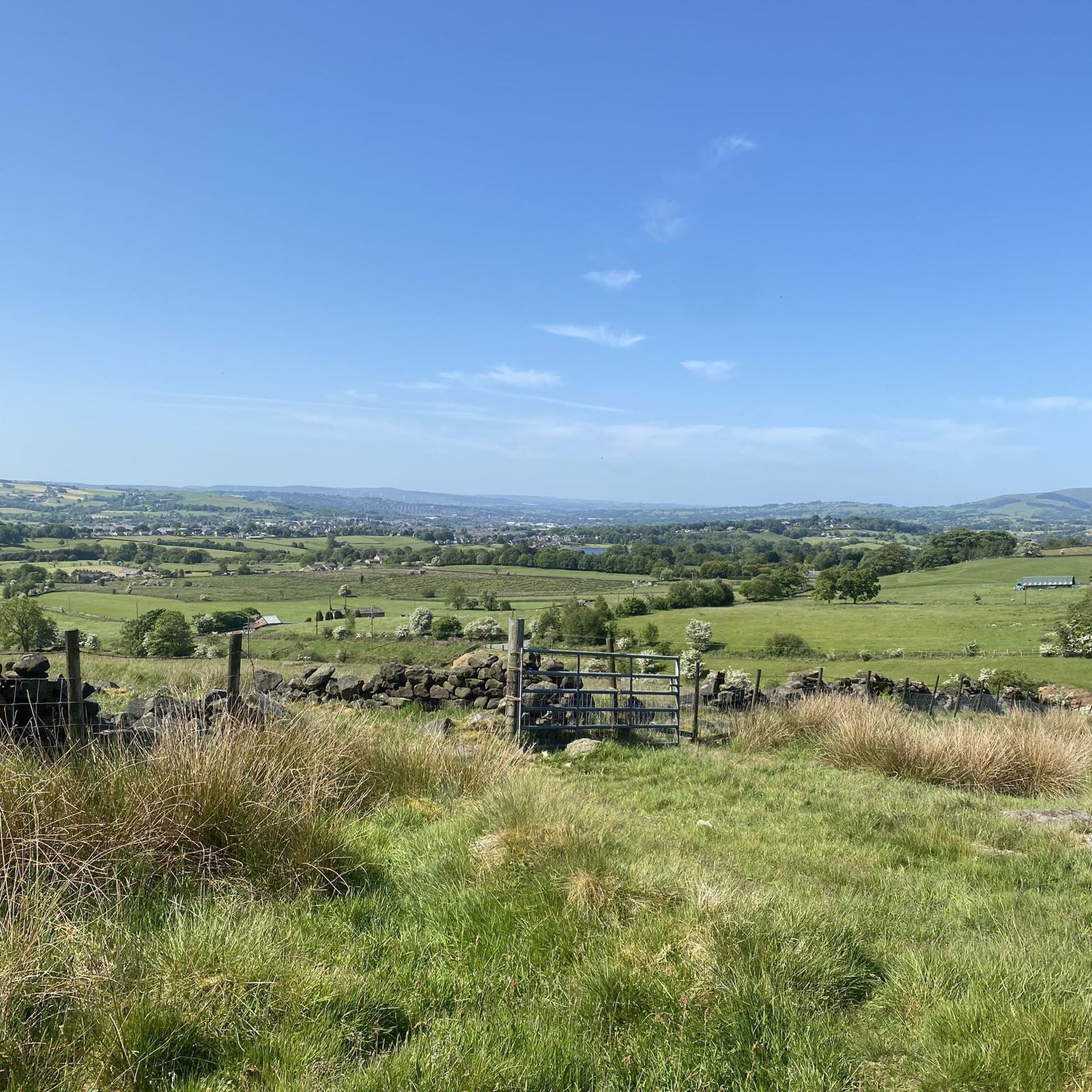
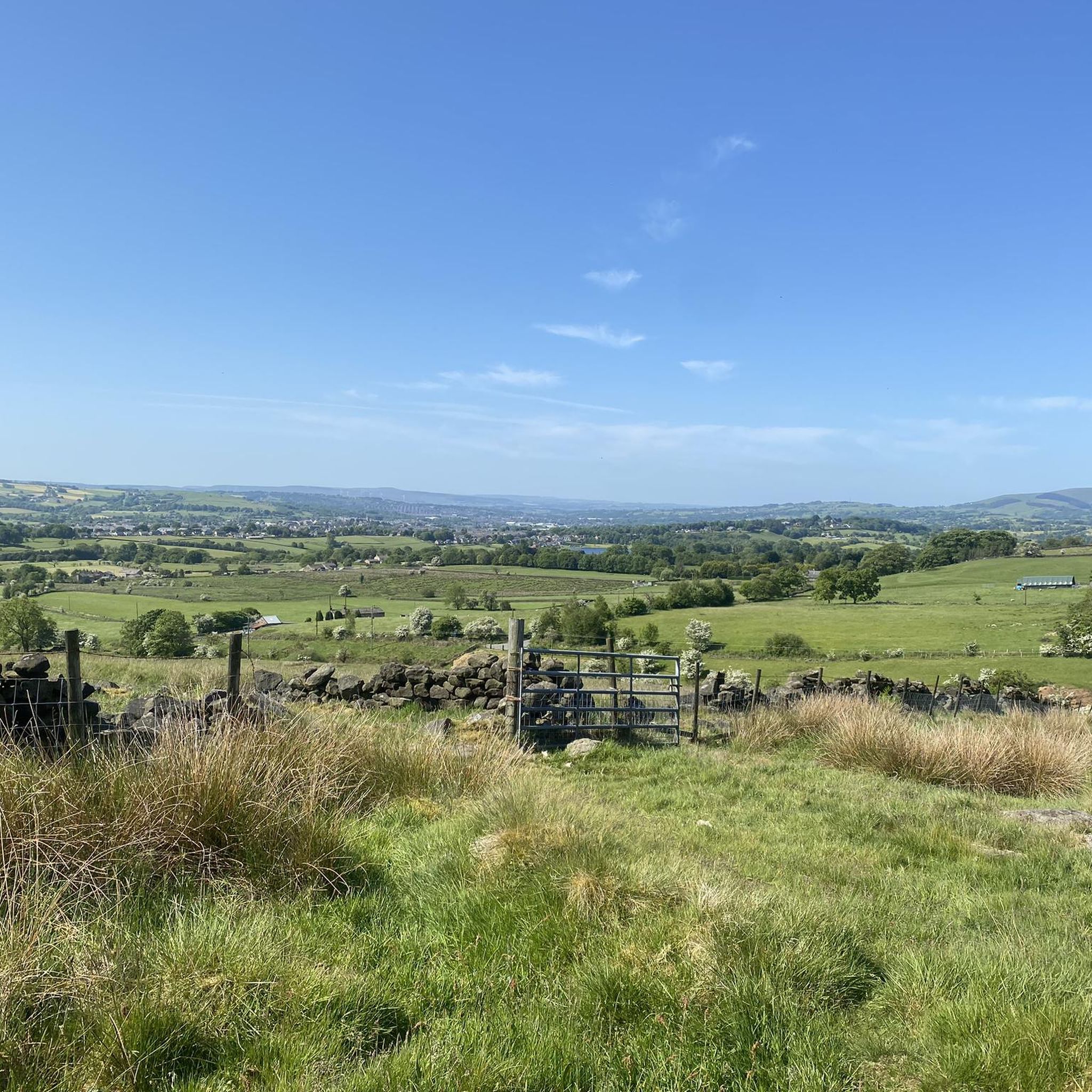
- The most popular hiking route is View of the Yorkshire Dales – Pinhaw Beacon loop from Thornton in Craven, a 6.1 miles (9.9 km) trail that takes 2 hours 50 minutes to complete. This moderate route offers panoramic views towards the Yorkshire Dales.
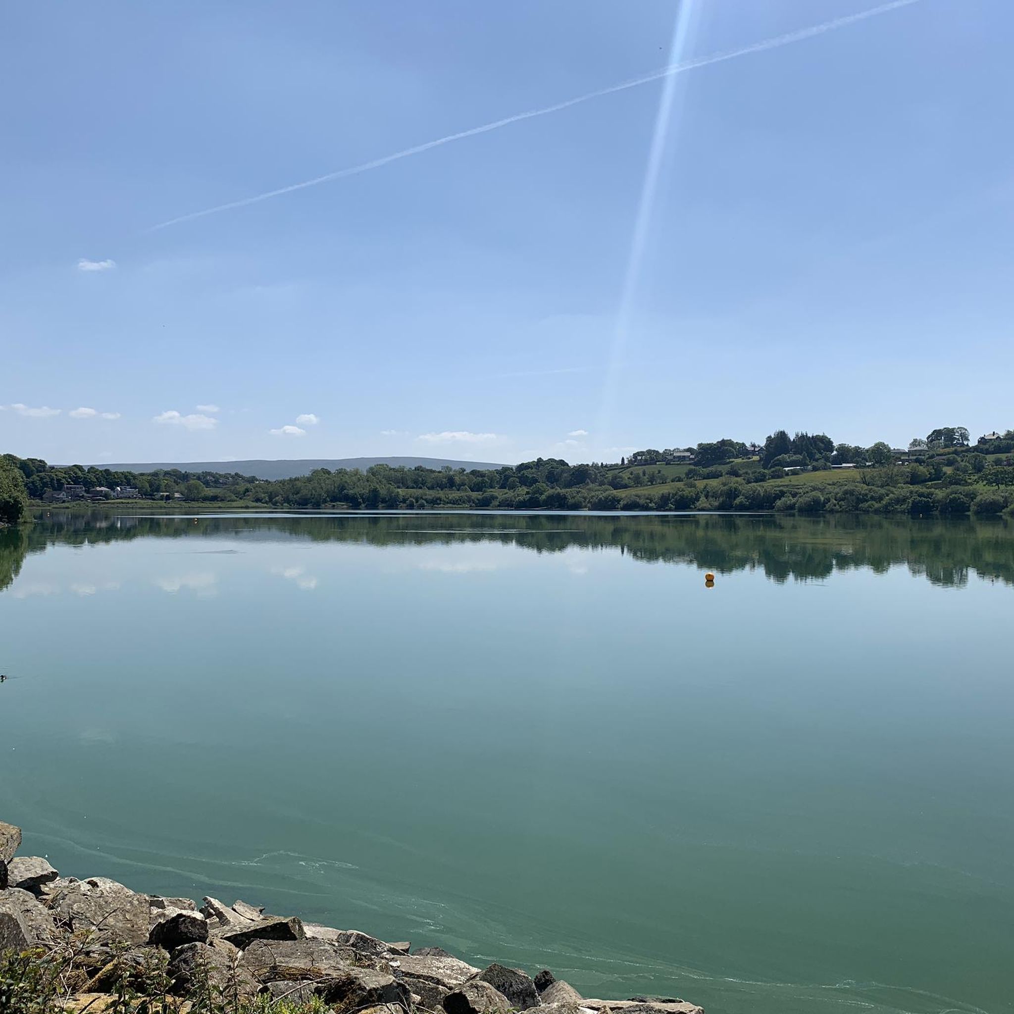
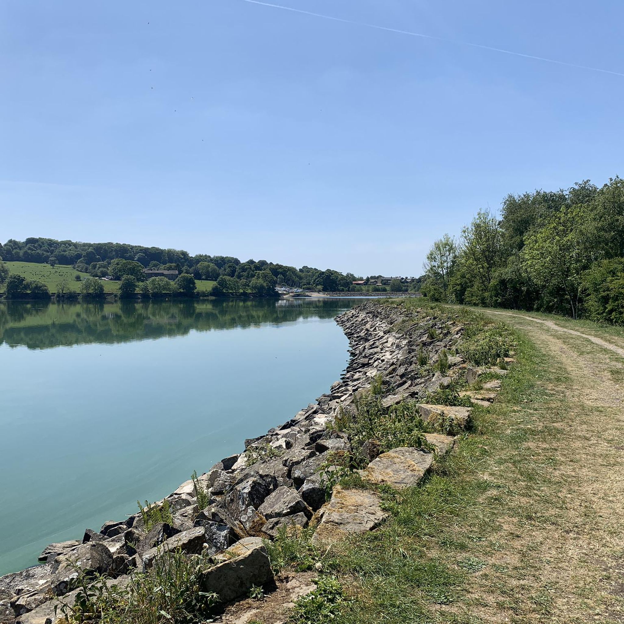
- Another top favourite among local hikers is Lake Burwain – Foulridge Reservoir loop from Borough of Pendle, an easy 2.9 miles (4.7 km) path. This trail features reservoir paths and accessible terrain suitable for a relaxed walk.
- Local hikers also love the Lancashire–Yorkshire Border – Cannon's Pub & Eatery loop from Thornton in Craven, an 8.4 miles (13.5 km) trail leading through the border region with varied landscapes, often completed in about 3 hours 31 minutes.
- Hiking around Kelbrook And Sough is defined by the foothills of Pendle Hill, scenic reservoirs, and views towards the Yorkshire Dales. The network offers options for different ability levels, from easy reservoir loops to more moderate fell walks.
- The routes in Kelbrook And Sough are highly rated by the komoot community with an average score of 4.5 stars from over 900 reviews. More than 9,500 hikers have used komoot to explore Kelbrook And Sough's varied terrain.
Last updated: August 29, 2026
4.0
(3)
30
hikers
9.89km
02:50
250m
250m
Moderate hike. Good fitness required. Easily-accessible paths. Suitable for all skill levels.
4.0
(2)
65
hikers
4.66km
01:13
30m
30m
Easy hike. Great for any fitness level. Easily-accessible paths. Suitable for all skill levels.

Sign up for free
5.0
(1)
19
hikers
Easy hike. Great for any fitness level. Easily-accessible paths. Suitable for all skill levels.
4.0
(1)
10
hikers
6.33km
01:53
200m
200m
Easy hike. Great for any fitness level. Easily-accessible paths. Suitable for all skill levels.
5.0
(1)
12
hikers
Moderate hike. Good fitness required. Easily-accessible paths. Suitable for all skill levels.
Get access to more routes and recommendations from other explorers.
Sign up for free
Already have an account?
Our route recommendations are based on thousands of hikes, rides, and runs completed by other people on komoot.
Start today with a free account
Your next adventure awaits.
Login or Signup

Tips from the Community

County Brook is the original divide between Lancashire and the former West Riding of Yorkshire.
0
0

Floating cafe near to Foulridge. Fantastic homemade cake & a decent brew.
0
0

Scenic views all round on the border between Lancashire and Yorkshire
0
0

This has become a tradition for us
0
0

Earby Holiday Hostel has an interesting history. It was once the home of Katharine Glasier, a renowned socialist activist and founding member of the Independent Labour Party. After her death in 1950, her friends set up a memorial fund to turn the building into a hostel. It was a YHA hostel for many years but Pendle Council took over in 2006. It has since passed to Earby Town Council and is now privately owned. From the hostel, it's just a short stroll to Earby Waterfall, a lovely spot.
0
0

Although it's a modest hill, the views from the top are superb north towards the Yorkshire Dales, West towards Lancashire and south across the West Yorkshire moors
1
0

Quite boggy in places, follow the wall on the right n the way back down then hang a left before the style
0
0
Frequently Asked Questions
How many hiking trails are available around Kelbrook and Sough?
There are over 500 hiking routes in the Kelbrook and Sough area, catering to various skill levels. This includes more than 250 easy trails and over 230 moderate options, ensuring a diverse range of experiences.
Are there easy hiking trails suitable for beginners or casual walkers?
Yes, Kelbrook and Sough offers many easy trails. A great option is the Lake Burwain – Foulridge Reservoir loop from Borough of Pendle, an easy 4.7 km path featuring accessible terrain perfect for a relaxed walk. Another easy route is the Tea and Cake Café – Craven Heifer Inn loop from Thornton in Craven, which is 5.7 km long.
Are the hiking trails around Kelbrook and Sough suitable for families with children?
Many trails around Kelbrook and Sough are suitable for families, especially those around the reservoirs like Lake Burwain and Foulridge Reservoir, which offer relatively flat and easily navigable paths. These routes provide a pleasant outdoor experience for all ages.
Can I bring my dog on the hiking trails in Kelbrook and Sough?
Yes, many trails in the Kelbrook and Sough area are dog-friendly. However, as routes often pass through farmland, it's important to keep dogs on a lead, especially near livestock, and to follow the Countryside Code.
Are there any challenging hikes for experienced trekkers?
While the area is known for its easy to moderate trails, more challenging options exist, particularly as you venture towards the fells and moorlands of the nearby Forest of Bowland. The View of the Yorkshire Dales – Pinhaw Beacon loop from Thornton in Craven is a moderate 9.9 km route with some elevation gain, offering a good workout and panoramic views.
Can I find circular hiking routes in the area?
Yes, circular routes are common in Kelbrook and Sough. Examples include the Lake Burwain – Foulridge Reservoir loop and the Lancashire–Yorkshire Border – Cannon's Pub & Eatery loop. Many trails are designed to bring you back to your starting point.
What kind of landmarks or attractions can I see along the hiking trails?
Hikers can encounter a variety of landmarks. You might spot the iconic Pendle Hill summit trig point, or enjoy views from Pinhaw Beacon. The area also features historic stone farmhouses and offers views towards the Yorkshire Dales and the Forest of Bowland.
Are there hiking routes that pass by pubs or eateries?
Yes, some routes incorporate stops at local establishments. The Lancashire–Yorkshire Border – Cannon's Pub & Eatery loop from Thornton in Craven is an 13.5 km trail that includes a pub, offering a chance to refuel during your hike.
Which trails offer the best panoramic views?
For spectacular panoramic views, consider routes that ascend to higher ground. The View of the Yorkshire Dales – Pinhaw Beacon loop is highly recommended for its vistas towards the Yorkshire Dales. Views from Beacon Hill and Kelbrook Moor also offer excellent perspectives over Great Edge and the surrounding fells.
What is the best time of year to go hiking in Kelbrook and Sough?
The area is beautiful year-round. Spring and summer offer lush green landscapes and milder weather, ideal for longer hikes. Autumn brings vibrant colors to the fells and woodlands. While winter hiking is possible, be prepared for potentially colder, wetter conditions, especially on higher ground.
What do other hikers enjoy most about hiking in Kelbrook and Sough?
The area is highly rated by the komoot community, with an average score of 4.5 stars from over 900 reviews. Hikers often praise the diverse landscapes, from reservoir paths to views of the Yorkshire Dales, and the variety of routes suitable for different abilities.
Most popular routes around Kelbrook And Sough
Most popular attractions around Kelbrook And Sough

Get inspired with the komoot mobile app


Explore more
Browse the best Hikes in other regions.
