The best road cycling routes around Brierfield
4.6
(49)
2,992
riders
12
rides
Road cycling around Brierfield, Lancashire, offers diverse terrain ranging from river valleys to upland moorland. The area is characterized by paved roads that provide access to scenic landscapes, including views of Pendle Hill and the broader Forest of Bowland. Cyclists can navigate through varied environments, from the valleys of rivers like the Ribble and Calder to the edges of the West Pennine Moors. The region's road network caters to a range of cycling experiences, from moderate rides to more challenging…
Last updated: June 26, 2026
5.0
(1)
12
riders
69.1km
03:37
1,140m
1,140m
Hard road ride. Very good fitness required. Mostly well-paved surfaces and easy to ride.
9
riders
27.8km
01:31
400m
400m
Moderate road ride. Good fitness required. Some segments of this route may be unpaved and difficult to ride.

Sign up for free
6
riders
63.6km
03:40
1,380m
1,380m
Hard road ride. Very good fitness required. Mostly well-paved surfaces and easy to ride.
10
riders
27.8km
01:28
450m
450m
Moderate road ride. Good fitness required. Mostly well-paved surfaces and easy to ride.
5
riders
77.8km
04:16
1,460m
1,460m
Hard road ride. Very good fitness required. Mostly well-paved surfaces and easy to ride.
Get access to more routes and recommendations from other explorers.
Sign up for free
Already have an account?
Our route recommendations are based on thousands of hikes, rides, and runs completed by other people on komoot.
Start today with a free account
Your next adventure awaits.
Login or Signup
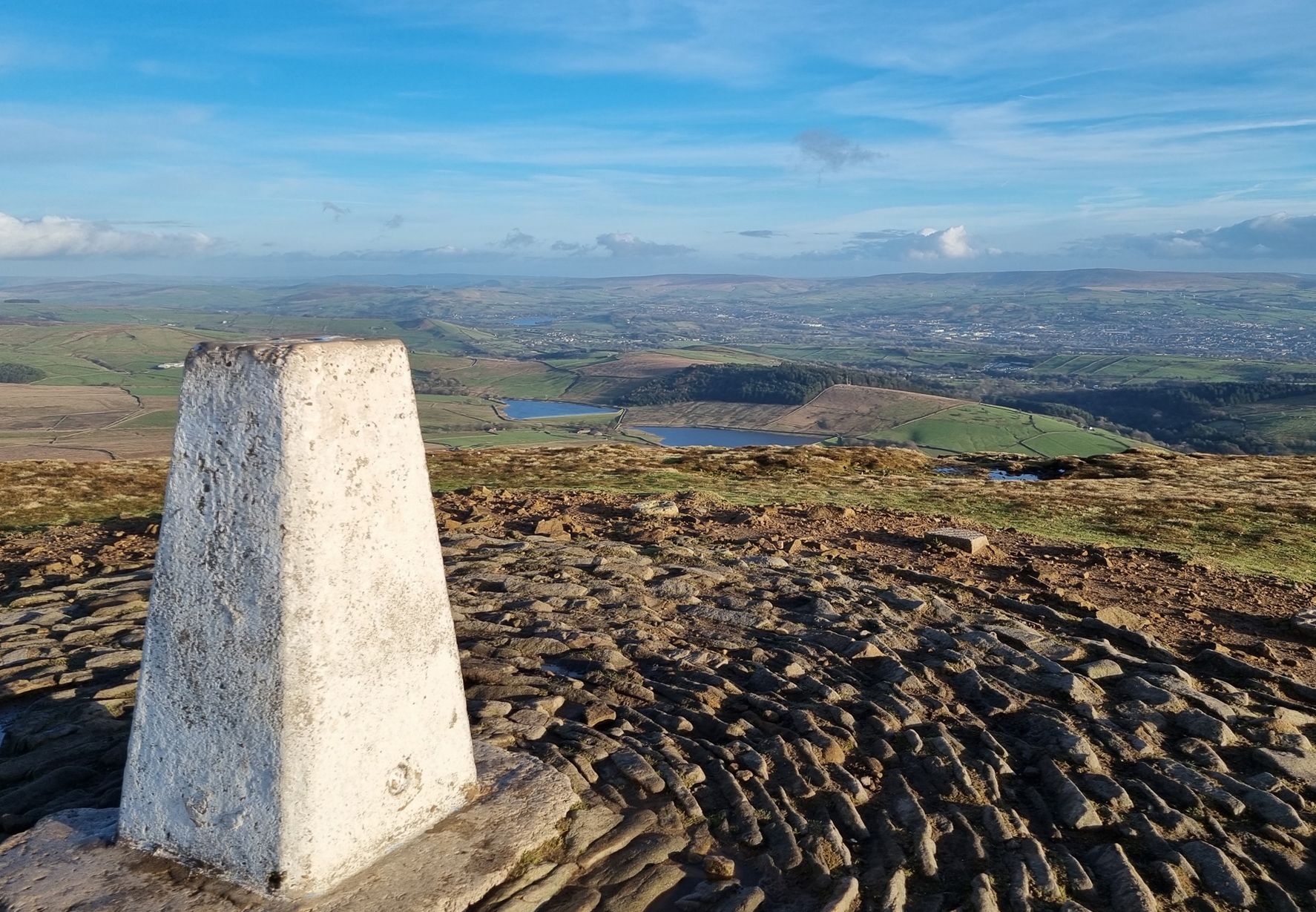
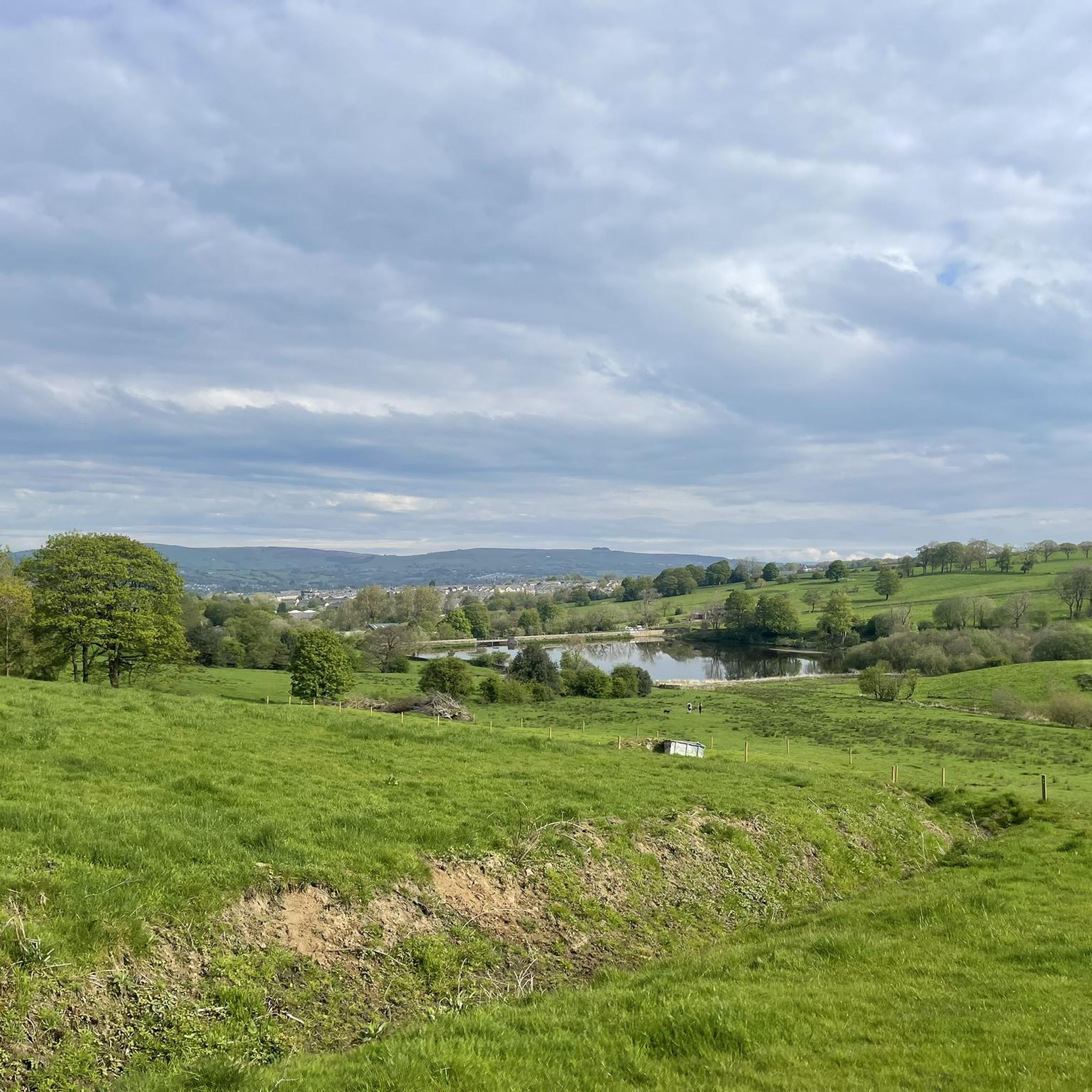
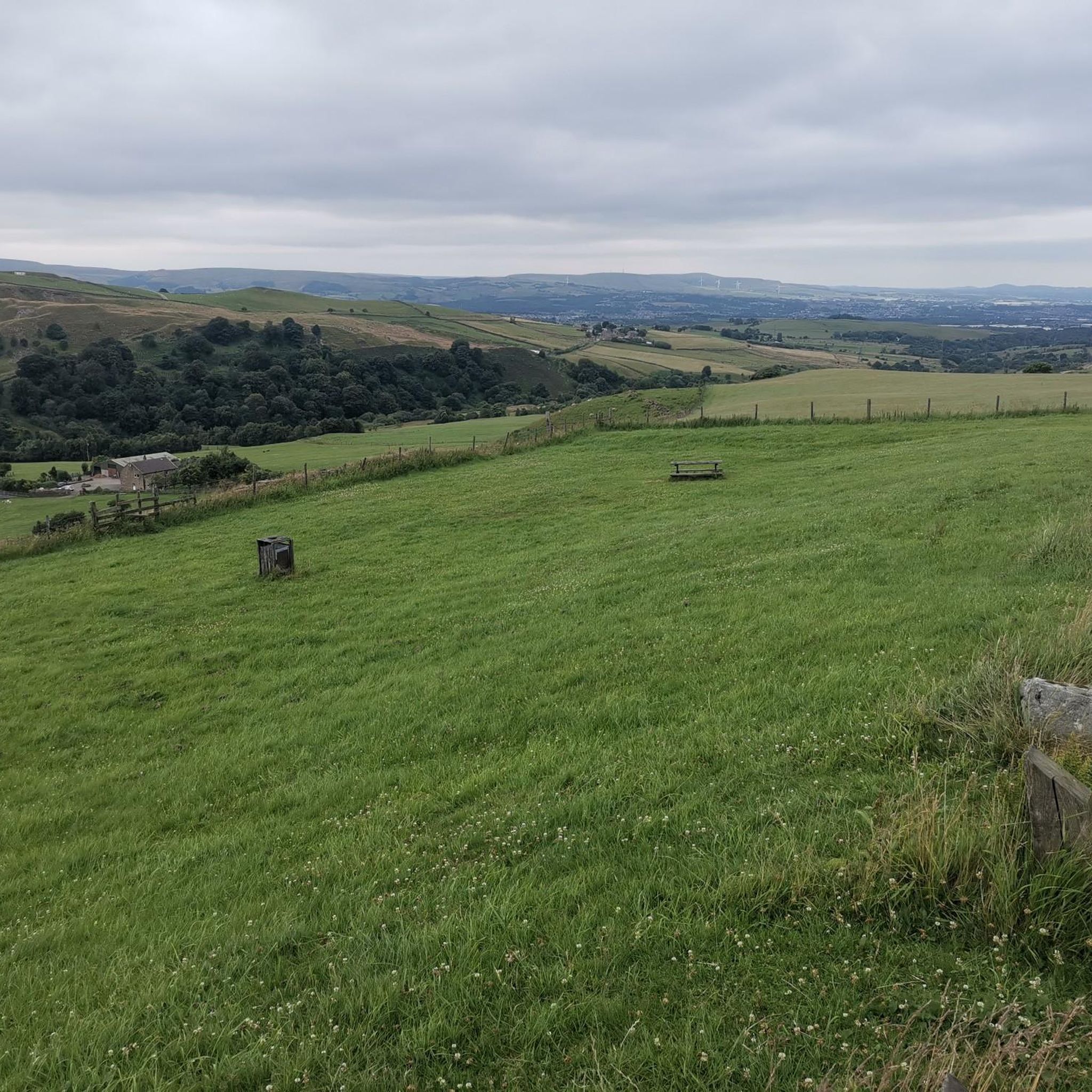
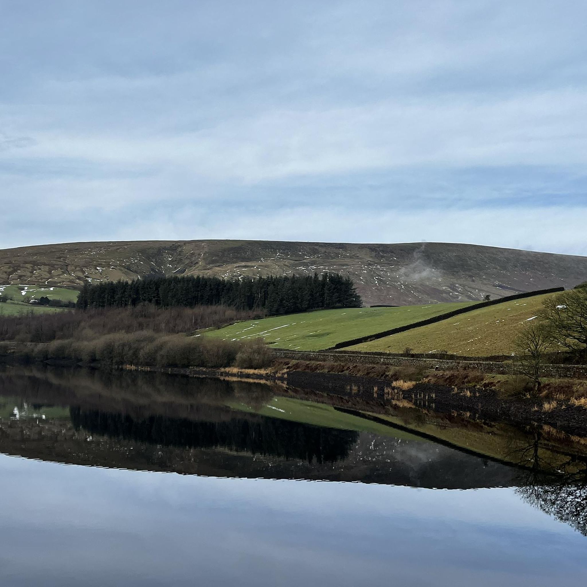

Other adventures around Brierfield

Tips from the Community

Currently closed due to risk of collapse, but you can see it from the road!
0
0

This is marked as an intermediate walk which, in the main is accurate. The walk starts with a steep incline, well covered in the walk description. What is less documented is the subsequent decent which can be challenging for the novice/ intermediate walker. The path down is narrow and the potential fall severe. Please be aware. Other than that, the walk offers wonderful views after the initial climb and relatively sedate walk after decent.
0
0

Colne Lane in Colne, Lancashire, serves as a gateway to the picturesque East Colne Way, a 5-mile circular walk that begins at the Lakeside Café in Ball Grove Park. This trail meanders through serene riverside meadows and ancient woodlands, offering a tranquil escape into nature. Before setting out, ensure you're equipped with sturdy, waterproof boots and appropriate clothing, as weather conditions can change unexpectedly. It's also advisable to inform someone of your route and allow ample time to complete the walk. For a detailed map and further information, visit the official East Colne Way page. [1] https://www.visitpendle.com/things-to-do/east-colne-way-p927770
0
0


Trawden Forest Community Centre, based in Lancashire, is a community facility run and managed by volunteers.
0
0
The pub is owned by the community and is great place for a refreshing drink and a bite to eat.
0
0

The actual centre of the British Isles is roughly 4 miles from the village but it is a pretty village to visit on the banks of the River Hodder.
0
1
Friendly and nice cafe. Very helpful with directions etc…
1
0
Frequently Asked Questions
How many road cycling routes are available around Brierfield?
There are over 200 road cycling routes around Brierfield, offering a wide variety of options for different skill levels and preferences. These routes are highly rated by the komoot community, with an average score of 4.6 stars.
What kind of terrain can I expect on road cycling routes near Brierfield?
Road cycling routes near Brierfield feature diverse terrain, ranging from the gentle slopes of river valleys like the Ribble and Calder to more challenging climbs in upland moorland areas such as the Forest of Bowland and the West Pennine Moors. The routes primarily utilize paved surfaces, offering smooth riding conditions with scenic views of the Lancashire landscape, including iconic Pendle Hill.
Are there routes suitable for beginners or those looking for an easy ride?
Yes, Brierfield offers a selection of easier road cycling routes. Out of over 200 routes, 25 are classified as easy, making them suitable for beginners or those seeking a more relaxed ride. These routes typically have less elevation gain and cover shorter distances.
What are some challenging road cycling routes for experienced riders?
For experienced riders seeking a challenge, Brierfield offers 54 difficult road cycling routes. An example of a demanding route is the Downham Village – Hodder Bridge loop from Brierfield, which covers 69.1 km with over 1,100 meters of elevation gain, providing a significant test of endurance and climbing ability.
Can I find circular road cycling routes in the Brierfield area?
Yes, many of the road cycling routes around Brierfield are circular, allowing you to start and finish at the same point. Examples include the popular Cross Gaits – Greenberfield Locks loop from Nelson (67.9 km) and the Waddington Village – Whalley Village Centre loop from Nelson (65.1 km), both offering scenic journeys through the countryside.
Are there any scenic landmarks or points of interest along the road cycling routes?
Absolutely. Road cycling routes around Brierfield often pass by or offer views of significant landmarks. You can enjoy sights like the prominent Pendle Hill summit trig point, the unique The Singing Ringing Tree, and charming places like Downham Village. Many routes also feature viewpoints such as Compston's Cross, providing excellent photo opportunities.
What do other cyclists say about the road cycling experience in Brierfield?
The road cycling experience in Brierfield is highly regarded by the komoot community, with an average rating of 4.6 stars from over 30 reviews. Cyclists often praise the diverse landscapes, the well-maintained paved roads, and the variety of routes that cater to different fitness levels, from moderate rides through canal-side areas to challenging climbs with stunning views.
Are there any family-friendly road cycling options around Brierfield?
While specific 'family-friendly' designations for road cycling can vary, the 25 easy routes around Brierfield are generally suitable for families with older children or those looking for a less strenuous ride. These routes typically feature gentler gradients and shorter distances, allowing for a more relaxed pace. Always check the route details for elevation and distance to ensure it matches your family's capabilities.
Where can I find parking for road cycling routes in Brierfield?
Many road cycling routes around Brierfield start from towns like Nelson, which offer various parking options. While specific car parks for each trailhead are not detailed here, public car parks are generally available in the larger towns and villages that serve as common starting points for these routes. It's advisable to check local parking information for your chosen starting location.
Are there cafes or pubs along the road cycling routes for a break?
Yes, the region around Brierfield is dotted with charming villages such as Barley and Downham, which often feature cafes and traditional pubs. These make for excellent scenic stops where cyclists can refuel and relax. Routes like the Waddington Village – Whalley Village Centre loop from Nelson connect several such villages, providing ample opportunities for breaks.
What is the best time of year for road cycling in Brierfield?
The best time of year for road cycling in Brierfield is generally during the spring, summer, and early autumn months (April to October) when the weather is milder and daylight hours are longer. This period offers the most pleasant conditions for enjoying the diverse landscapes and scenic routes. However, conditions can vary, so always check the local forecast before heading out.
How does the local cycling culture in Brierfield contribute to the experience?
The area around Brierfield has a strong local cycling culture, evidenced by events like the annual Colne Grand Prix cycle race held in nearby Colne. This indicates well-maintained road circuits and a community that appreciates cycling. This vibrant culture contributes to a welcoming environment for road cyclists, with local amenities often catering to their needs.
Are there routes that offer views of Pendle Hill?
Many road cycling routes in the Brierfield area offer stunning views of Pendle Hill, a dominant landmark in the local skyline. For example, the Downham Village – Nick of Pendle loop from Nelson provides excellent vistas of this iconic hill, especially as you navigate the surrounding countryside.
Most popular routes around Brierfield
Most popular attractions around Brierfield

Get inspired with the komoot mobile app


Explore more
Browse the best Road cycling routes in other regions.
