The best running trails around Over Wyresdale
4.5
(10)
134
runners
19
runs
Jogging around Over Wyresdale offers diverse landscapes and an extensive network of trails on the western slopes of the Forest of Bowland. The region features prominent natural features like Nicky Nook Fell and Grizedale Reservoir, providing panoramic views and varied terrain. Footpaths traverse fields, woods, valleys, and open fells, catering to different fitness levels. This blend of countryside charm ensures options from accessible paths to more rugged routes.
Best jogging routes around Over Wyresdale
- The most popular jogging route is…
Last updated: June 23, 2026
7
runners
This difficult 18.1-mile (29.2 km) jogging loop from the Jubilee Tower explores Clougha Pike, Ward's Stone, and Wolfhole Crag in the Forest
22
runners
10.9km
01:15
320m
320m
Hard run. Very good fitness required. Mostly paved surfaces. Suitable for all skill levels.

Sign up for free
13
runners
6.46km
00:42
130m
130m
Moderate run. Good fitness required. Mostly paved surfaces. Suitable for all skill levels.
10
runners
Moderate run. Good fitness required. Mostly paved surfaces. Suitable for all skill levels.
6
runners
Hard run. Very good fitness required. Sure-footedness, sturdy shoes and alpine experience required.
Get access to more routes and recommendations from other explorers.
Sign up for free
Already have an account?
Our route recommendations are based on thousands of hikes, rides, and runs completed by other people on komoot.
Start today with a free account
Your next adventure awaits.
Login or Signup
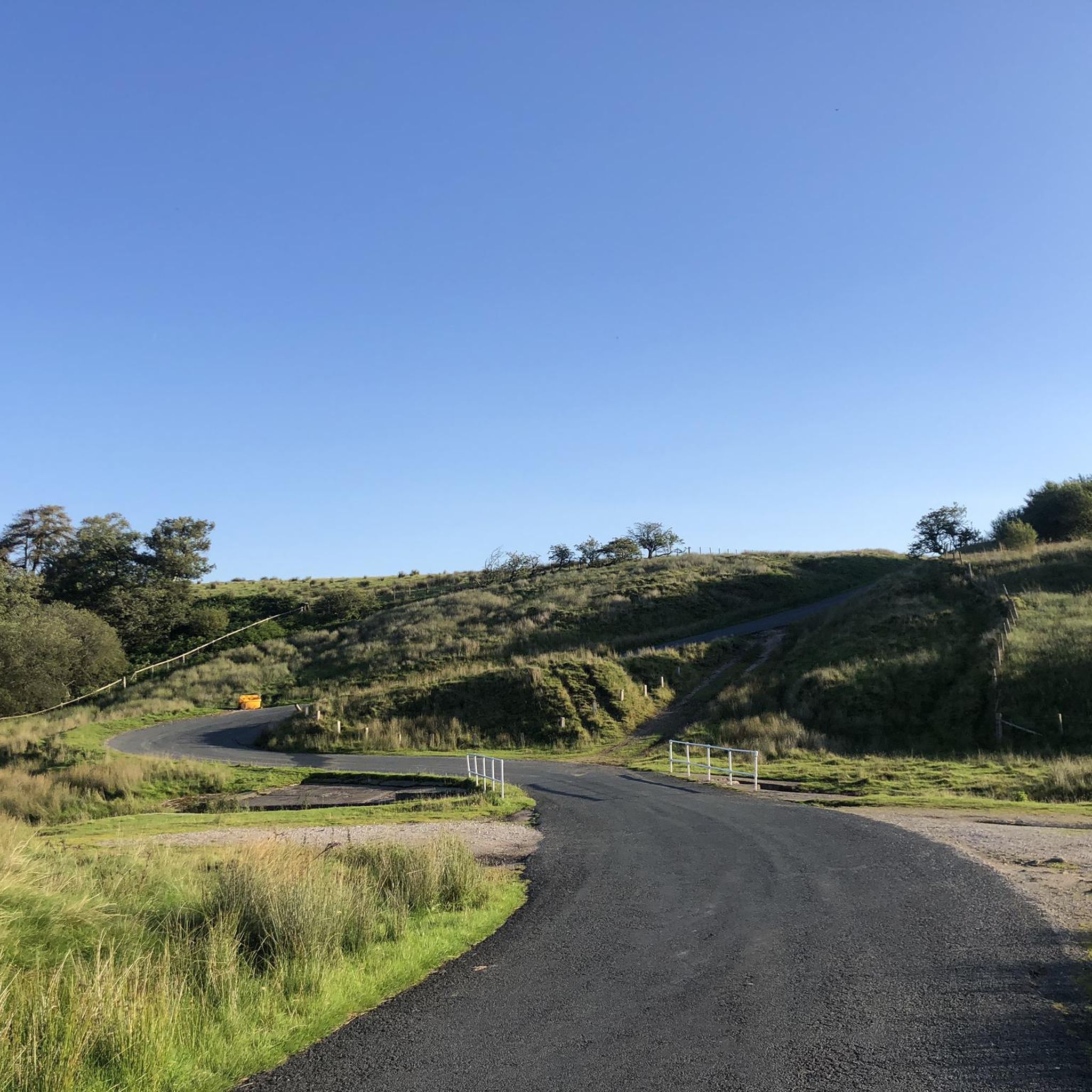
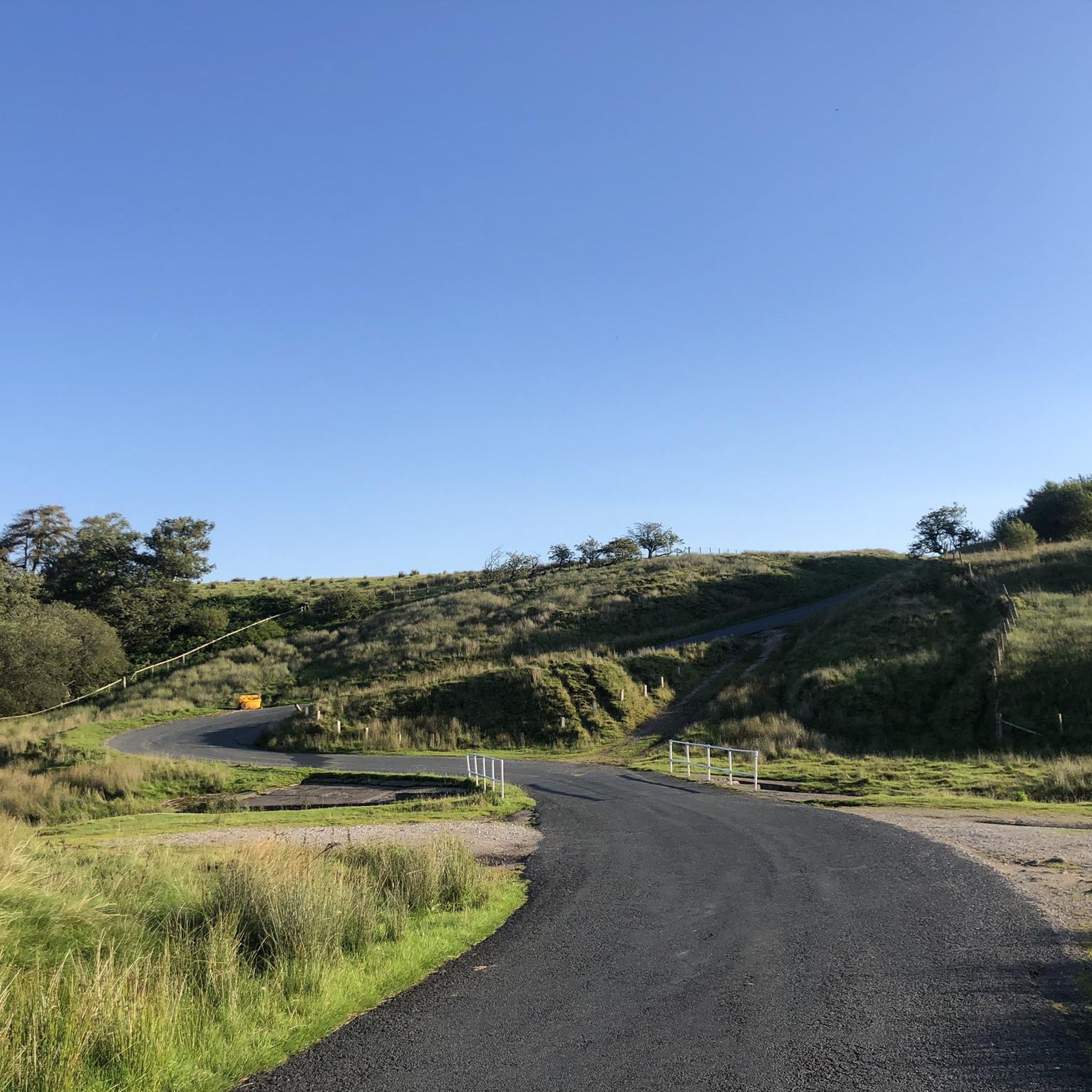
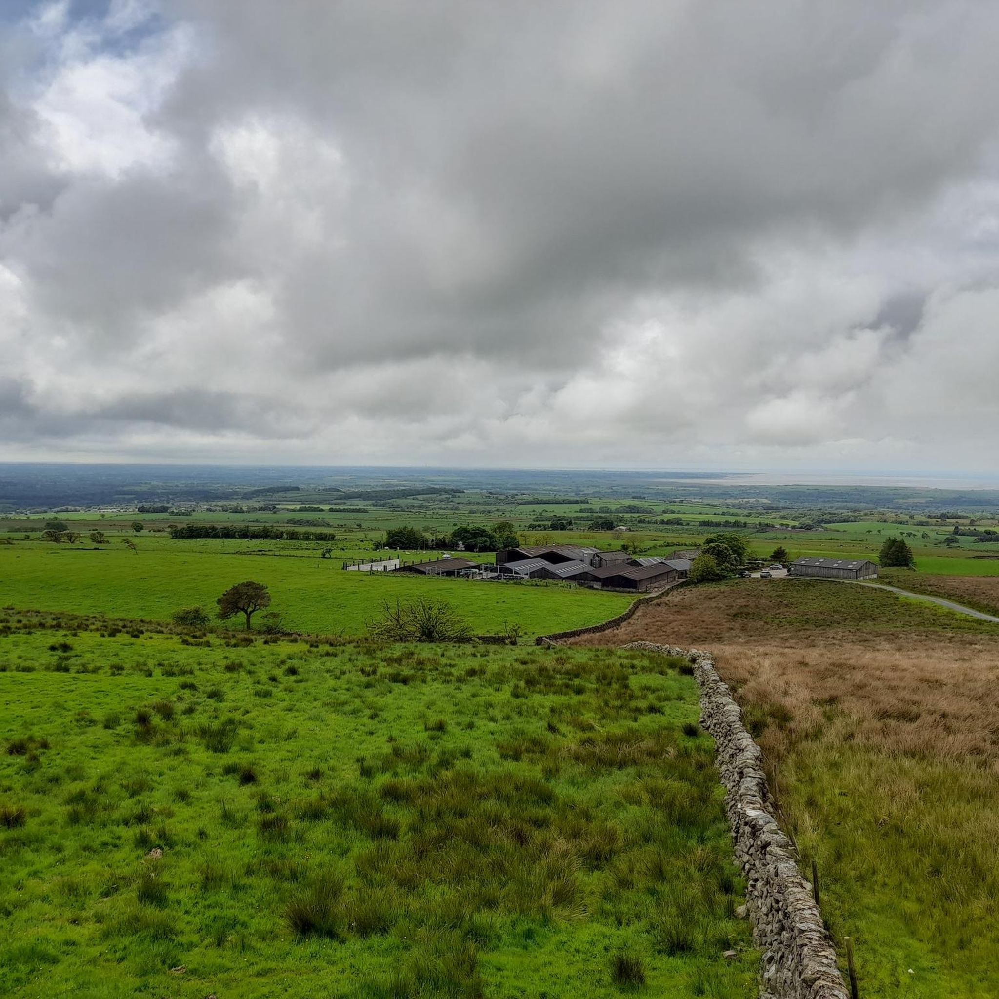
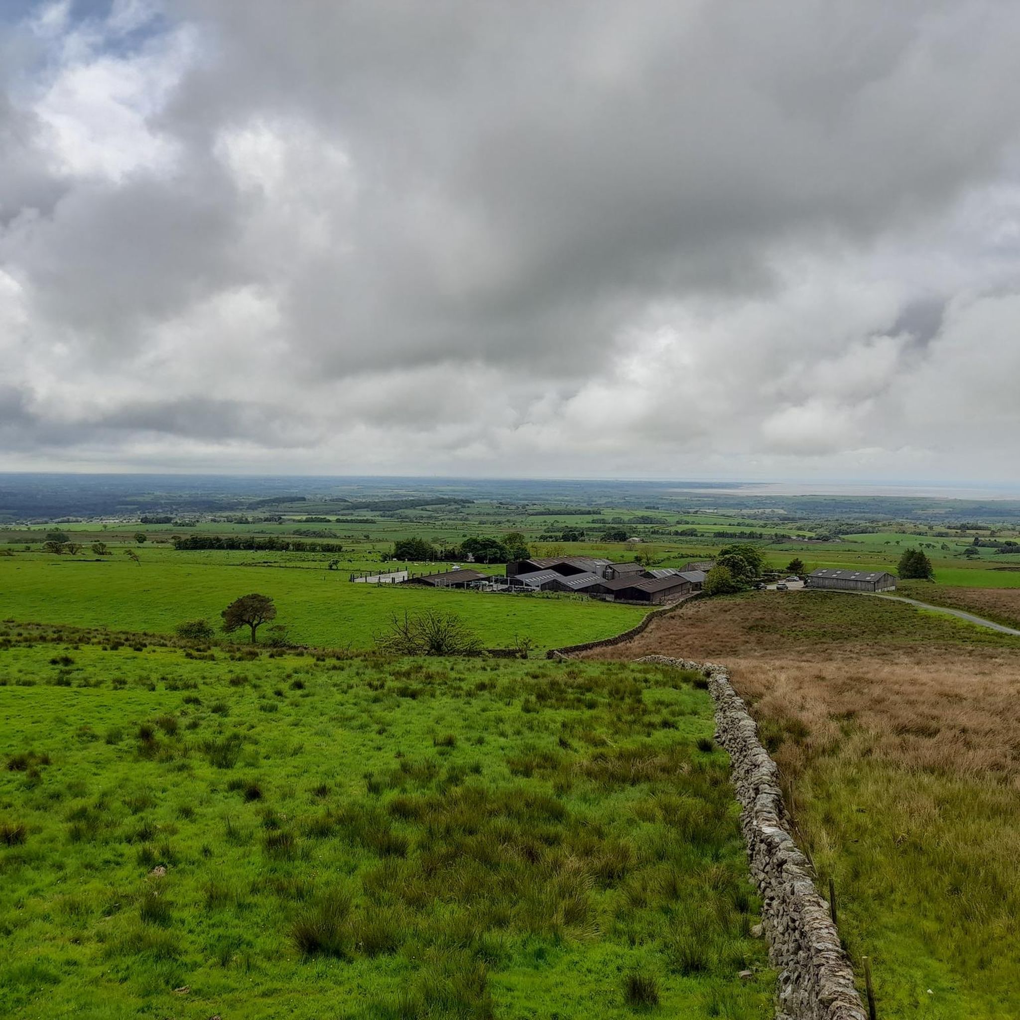

Tips from the Community

stunning views, very quiet and peaceful walk. would recommend good shoes especially for the downhill spell.
0
0


Wolfhole Crag (527m) will always be quieter than Clougha Pike and Ward's Stone on its western ridge, but equally amazing for views over the Forest of Bowland AONB and the North Pennines. The crag offers a dramatic and picturesque backdrop for those exploring the region.
2
0

Starting address for the Jubilee Tower free parking is Scotforth Rd, Abbeystead, Lancaster LA2 0QR. Easy parking and not too many people around. Quite a hot day 22C. Amazing views across the bays and well worth the hike to get to Ward Stone , the highest point in the Trough of Bowland. Later part of the walk is a gravel road, which made a nice change from the hike up. As it was a sunny day, the walk was nice and easy, however on a wet day it could be quite difficult with the gullies to get across on the way up. Dry or wet, it's well worth the trip, on a clear day you can see Balckkpool tower!.
0
0

Wolfhole Crag will always be quieter than Clougha Pike and Ward's Stone on its western ridge. The ground here is harder running and can be boggy, but it does make a good addition to a running loop of the other main summits on the Forest of Bowland. The rocky outcrops and trig point here are great and at 527m it's a significant point even if it does have a bit less relief than Ward's Stone.
0
0
The trig point at this end of the ridge and the eastern edge of the Forest of Bowland stands at 413m. It offers amazing views west out over Lancaster to Morecombe Bay and north-west to the Lake District. The ridgeline from here to Ward's Stone and beyond is a great run, it can be turned into a loop from any of the local car parks.
0
0
Ward's Stone at 561m is the highest point in the Forest of Bowland. The Trig Point and rocky outcrop make a good summit on this excellently runnable ridge from Clougha Pike in the west to Wolfhole Crag in the east. Great views all across the Forest of Bowland, out over the Irish Sea and even up into the Lake District.
0
0
Frequently Asked Questions
How many running routes are available in Over Wyresdale?
Over Wyresdale offers a good selection of running routes, with more than 20 trails available for you to explore. These routes cater to various fitness levels, from moderate paths to more challenging ascents.
Are there easy running routes suitable for beginners in Over Wyresdale?
Yes, Over Wyresdale has options for beginners. There is at least one easy route, and several moderate trails that can be suitable depending on your fitness level. For a moderate option, consider the Running loop from Over Wyresdale, which is about 4 miles (6.5 km) long.
What kind of terrain can I expect on the running trails in Over Wyresdale?
The running trails in Over Wyresdale offer a beautiful blend of countryside charm. You can expect varied terrain including footpaths traversing fields, woodlands, valleys, and open fells. Some routes feature mostly paved surfaces, while others are more rugged, requiring good fitness and sturdy shoes.
Are there any circular running routes in Over Wyresdale?
Yes, many of the running routes in Over Wyresdale are circular, allowing you to start and finish at the same point. For example, the Bradshaw Wood – Lee Wood loop from Over Wyresdale is a popular circular trail covering about 6.2 miles (10 km).
What are some challenging running routes for experienced runners in the area?
For experienced runners seeking a challenge, Over Wyresdale offers several difficult routes with significant elevation gain. A notable option is the Clougha Pike, Ward's Stone & Wolfhole Crag Ridge loop from the Jubilee Tower, an 18.1-mile (29.2 km) trail with extensive views across the fells.
Can I bring my dog on the running trails in Over Wyresdale?
Generally, many trails in rural areas like Over Wyresdale are dog-friendly. However, it's always recommended to keep your dog on a lead, especially when passing through farmland or near livestock, and to check for any specific local restrictions or signage on individual routes.
Are there any notable landmarks or attractions to see along the running routes?
Yes, Over Wyresdale's routes often pass by or offer views of significant natural features. You might encounter Clougha Pike, Nicky Nook Summit, or the Ward's Stone Summit Trig Point, offering panoramic views and rewarding destinations.
Where can I find parking for the running routes in Over Wyresdale?
While specific parking details vary by route, popular starting points like the Jubilee Tower or areas around Wyresdale Park Estate often have designated parking facilities. It's advisable to check the route details on komoot for specific parking recommendations for your chosen trail.
What do other runners enjoy most about jogging in Over Wyresdale?
The komoot community highly rates the running experience in Over Wyresdale, with an average score of 4.3 stars from numerous reviews. Runners often praise the diverse landscapes, the serene atmosphere of the open fells and tranquil reservoirs, and the variety of routes catering to different abilities.
Are there any long-distance running routes in Over Wyresdale?
Yes, for those looking for longer runs, Over Wyresdale provides options. The Jubilee Tower (Quernmore) – Ward's Stone Summit Trig Point loop from Jubilee Tower is a challenging 8.9-mile (14.3 km) path with significant elevation gain, perfect for a longer outing.
Are there running routes that pass by reservoirs?
Yes, the region is known for its tranquil reservoirs. Several running loops are available around Grizedale Reservoir, often combined with ascents to Nicky Nook Summit, providing beautiful waterside views during your run.
Most popular routes around Over Wyresdale
Most popular attractions around Over Wyresdale

Get inspired with the komoot mobile app


Explore more
Browse the best Running Trails & Routes in other regions.
