The 8 Most Amazing Peaks around Clayton-Le-Woods
Best mountain peaks around Clayton-Le-Woods, a large village in Lancashire, England, offers a landscape of gentle topography, with an average elevation of 72 meters. While not featuring traditional mountains, the area provides varied terrain suitable for hiking and exploration. This includes parklands, riverside trails, and routes through former industrial sites. These environments offer opportunities for outdoor activities and scenic views.
Best mountain peaks around Clayton-Le-Woods
- The most popular mountain peaks is Darwen Tower (Jubilee Tower), a man-made monument that…
Last updated: August 13, 2026
Darwen Tower (Jubilee Tower)
Highlight • Monument
Tip by

Noon Hill Bronze Age burial cairn
Highlight • Natural Monument
Tip by

Sign up now to discover places like this
Get recommendations on the best single tracks, peaks, & plenty of other exciting outdoor places.
Sign up for free
View of Winter Hill and Chorley from Rivington Car Park
Highlight • Parking
Tip by

Round Loaf Tumulus
Highlight • Natural Monument
Tip by

Hough Hill Trig Point
Highlight • Viewpoint
Tip by

Sign up for free to discover even more peaks around Clayton-Le-Woods.
Sign up for free
Already have an account?
Start today with a free account
Your next adventure awaits.
Login or Signup
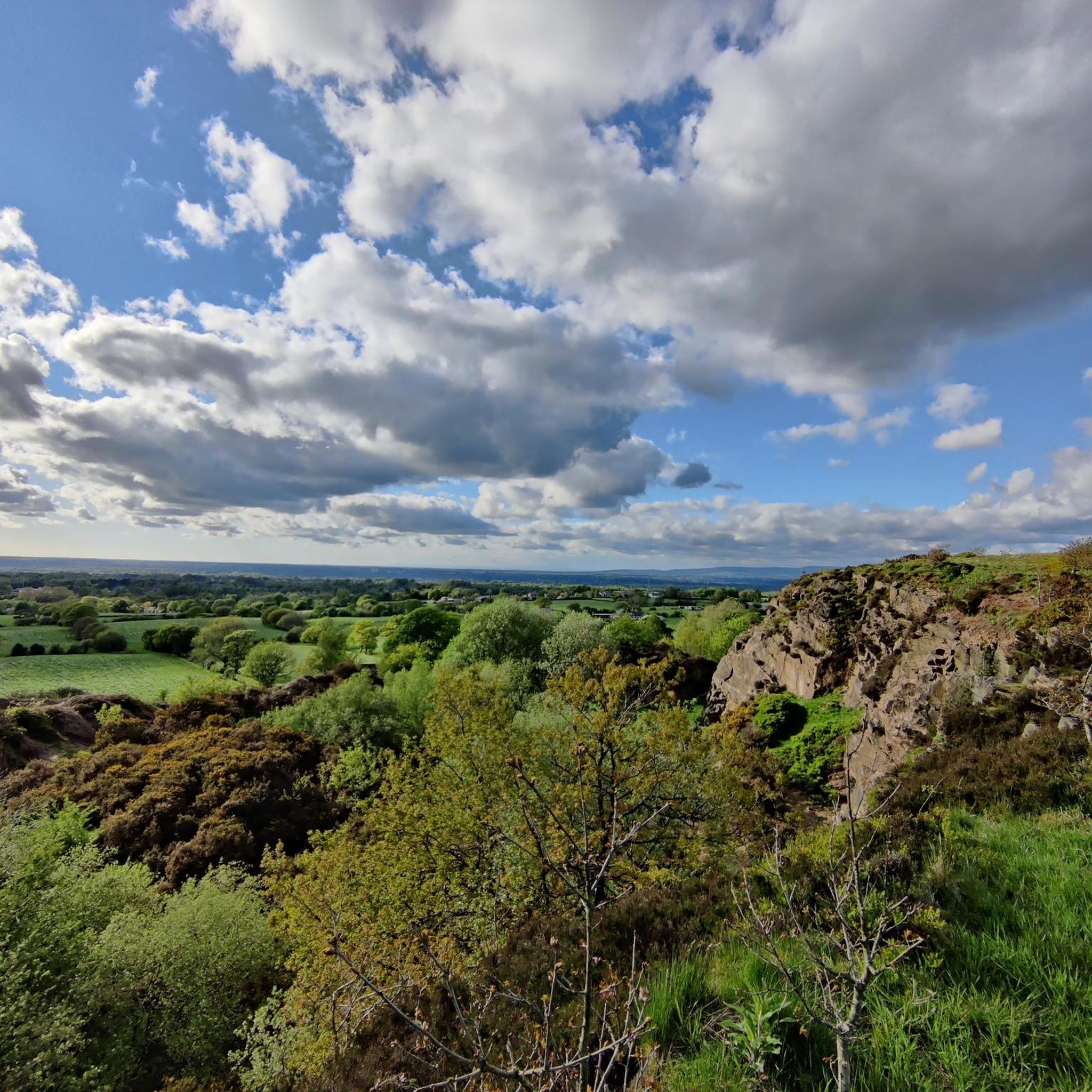
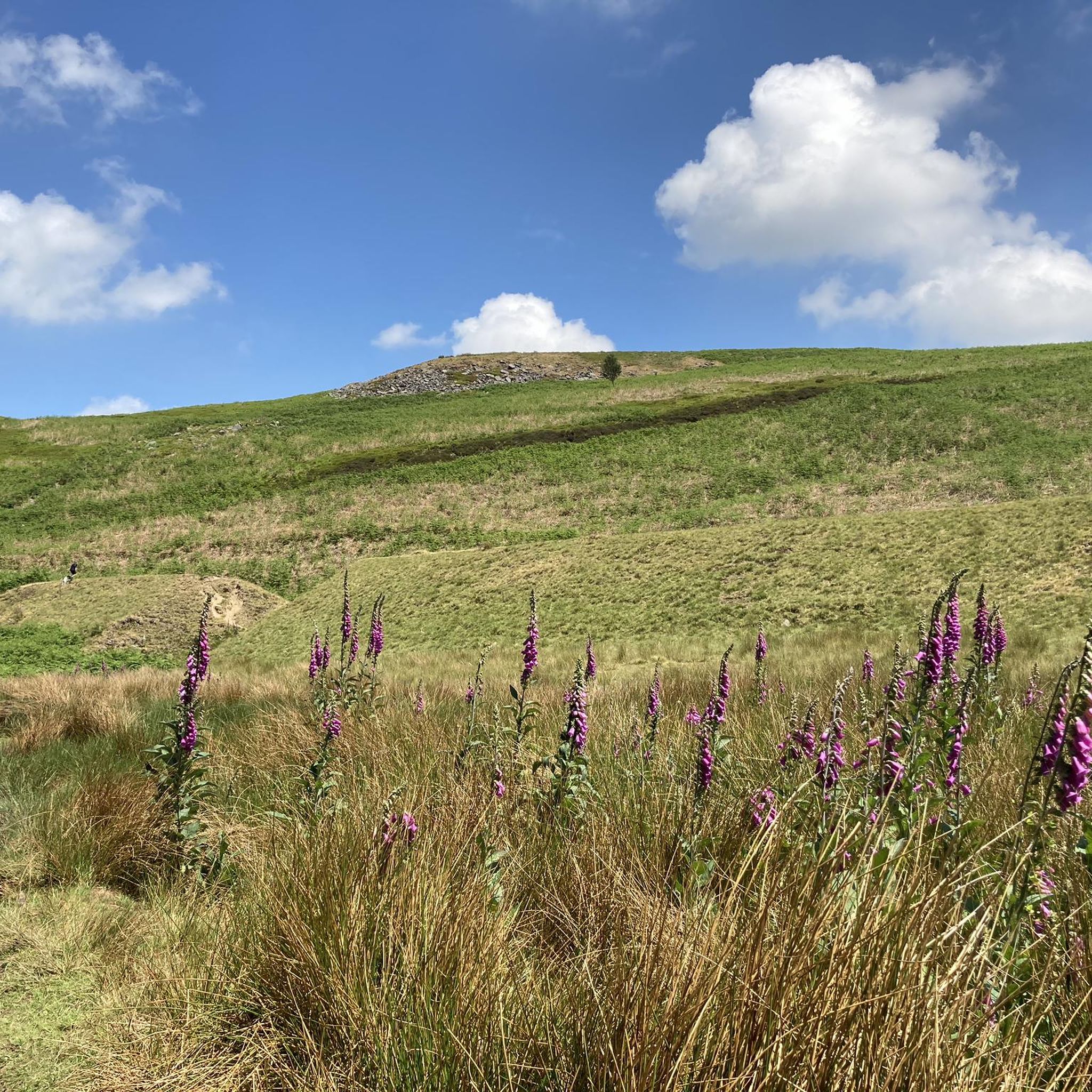
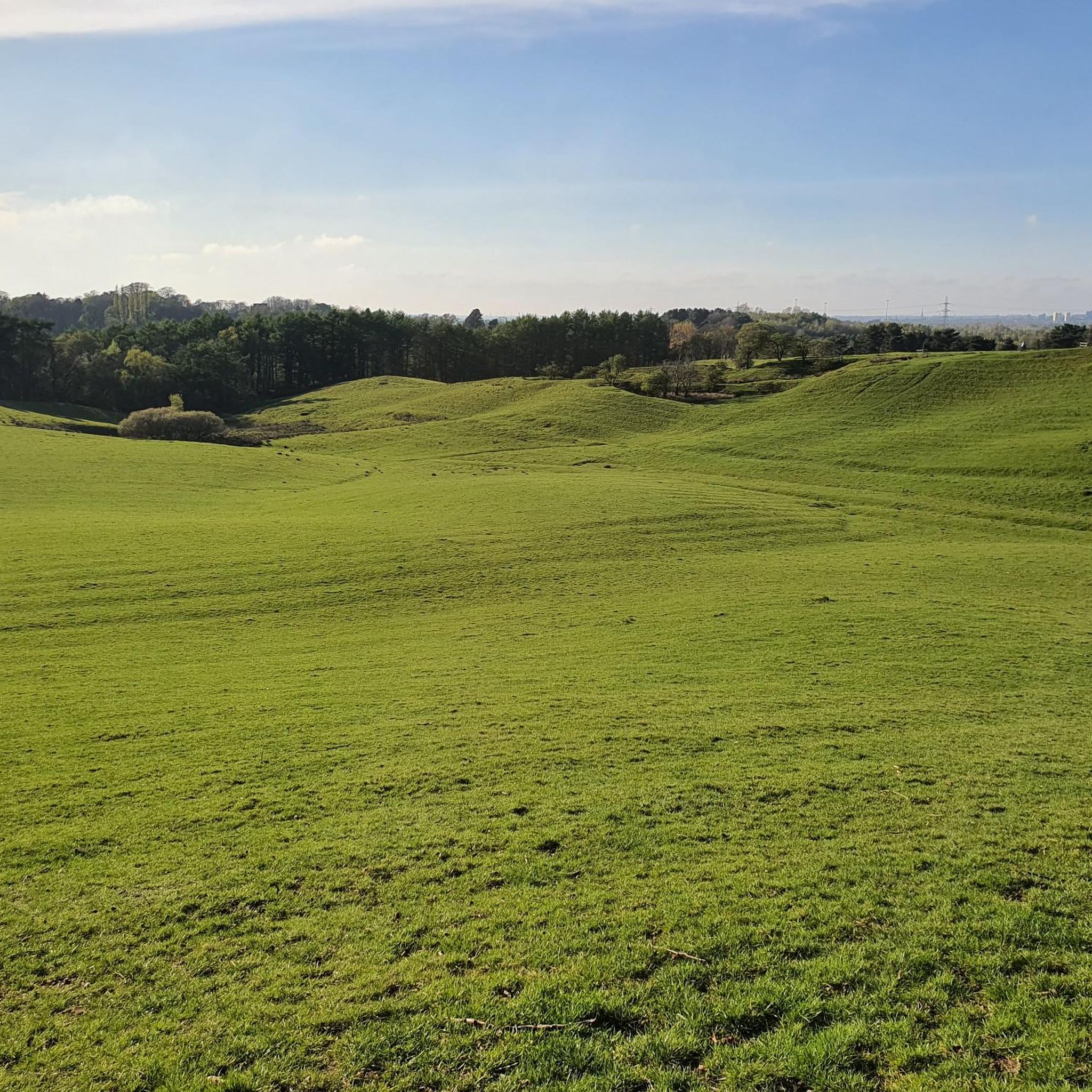
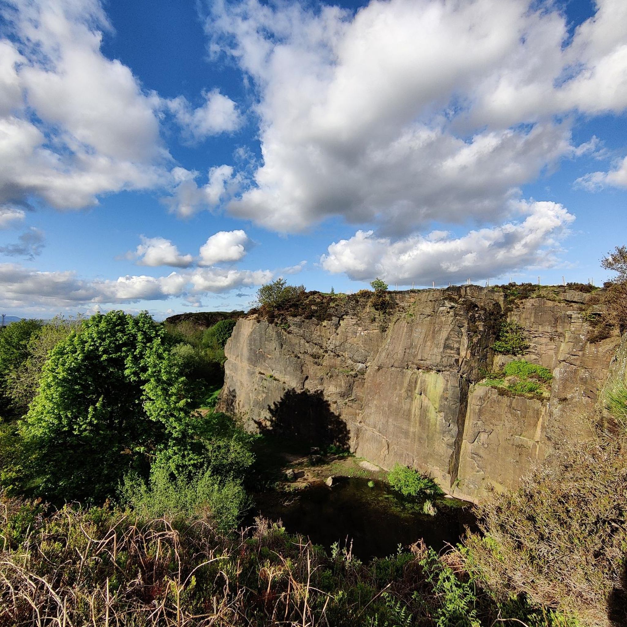
Tips from the Community


I visited on a sunny day, it was warm at the bottom and very windy at the very top. The route was quite easy.
0
0

A grand, high-level cruise around the West Pennine Moors. The route follows long chunks of the Witton Weavers’ Way on good tracks so is suitable for a winter’s night. It can, however, get claggy in the woods. The bridleway signage is a lot more generous on the ground than the map would suggest, especially if you have an older map.
2
0
It's a beautiful area well woth the ride
1
0

Tower open at weekends, great view from the top despite missing landmark plaques!
0
0
Rivington Pike is a hill on Winter Hill, part of the West Pennine Moors at Rivington, Chorley in Lancashire, England. The nearest towns are Adlington and Horwich. The land and building are owned and managed by Chorley Council. The Pike Tower is a prominent local landmark and is located at the summit, it is part of Lever Park. The area is popular with hill walkers and for mountain biking.
8
1

On the edge of the summit of Noon Hill stands a Bronze Age burial cairn. Measuring some twenty-one metres in diameter, it is bounded by a stone kerb which encircles a mound. A cremated burial sat at the heart of the structure, and wooden posts were driven into the monument, encircling its stony core. Earth was heaped up into the space between the central stony heart and the surrounding kerb. The soil placed in there had once been the ground where people had sat, chipping flint tools. Further cremations and grave goods were dug into the cairn during the Bronze Age and perhaps people processed up to it on special days, to honour their dead ancestors. After the Bronze Age passed, the remains of those that lay there were lost from memory, and it rested undisturbed for three and a half thousand years
1
0

Frequently Asked Questions
What kind of elevated areas or viewpoints can I explore around Clayton-Le-Woods?
While Clayton-Le-Woods doesn't feature traditional mountain peaks, the area offers several elevated points and viewpoints. Notable spots include Darwen Tower (Jubilee Tower), a man-made monument on Darwen Hill offering extensive views, and View of Winter Hill and Chorley from Rivington Car Park, which provides scenic vistas towards Winter Hill and Chorley.
Are there any historical sites or monuments on these elevated points?
Yes, the area is rich in historical significance. You can visit Darwen Tower (Jubilee Tower), built in 1898 to commemorate Queen Victoria's Diamond Jubilee. Another significant site is the Noon Hill Bronze Age burial cairn, a natural monument and summit with historical importance, measuring about 21 meters in diameter.
What are some popular walking routes near Clayton-Le-Woods?
Clayton-Le-Woods offers a variety of walking routes through its gentle terrain. For an easy hike, consider the Denham Quarry loop from Clayton-le-Woods, which is about 5.5 km. Another easy option is the Cuerden Lake loop, approximately 4 km, offering pleasant views within Cuerden Valley Park.
Are there family-friendly walking options around Clayton-Le-Woods?
Absolutely. Cuerden Valley Park, partly dividing the village, is an excellent choice for families. It offers 650 acres of woodland, parklands, and meadows with gentle trails. The Lower Kem Mill Pond loop from Clayton-le-Woods is another easy, family-friendly hike, providing views towards Buckshaw Village.
What kind of views can I expect from the elevated areas?
From elevated points like Darwen Tower, you can expect stupendous 360-degree views. On a clear day, these can extend to the mountains of the Lake District, Morecambe Bay, Blackpool Tower, the Isle of Man, and North Wales. Closer views include the wild moorlands of the West Pennines.
Are there any challenging trails for experienced hikers?
While many trails are gentle, some routes leading to elevated points can be more challenging. For instance, the path to Winter Hill Summit and Memorial can be wet and steep, requiring care. Similarly, paths to Round Loaf Tumulus can be very boggy after rain, making for a more demanding trek.
What other outdoor activities can I do near these elevated areas?
Beyond hiking, the region around Clayton-Le-Woods offers opportunities for running and road cycling. You can find various running trails, such as the 'All You Knead Bakery & Cafe – The War Horse loop'. For cyclists, there are numerous road cycling routes, including longer rides like the 'Southport coast & Rivington loop'.
What do visitors enjoy most about exploring the elevated areas around Clayton-Le-Woods?
Visitors frequently highlight the extensive views, especially from spots like Darwen Tower, where the panorama can stretch for miles on a clear day. The combination of natural beauty, historical sites like the Bronze Age cairns, and the accessibility of varied terrain for walking and exploring are also highly appreciated.
Is there parking available for accessing these viewpoints and trails?
Yes, for some popular spots, parking is available. For example, Rivington Car Park serves as an intermediate viewpoint and provides parking for those looking to explore the area around Winter Hill and Rivington Pike.
Are dogs allowed on the trails and in the parks?
Many of the trails and parklands in and around Clayton-Le-Woods, such as Cuerden Valley Park, are dog-friendly. It's always recommended to keep dogs on a lead, especially in areas with livestock or wildlife, and to follow local signage regarding pet regulations.
What is the best time of year to visit for walks and views?
Spring and summer generally offer the most pleasant weather for walking and clearer views. However, autumn brings beautiful foliage, and even winter walks can be rewarding, though some paths, especially to higher points like Round Loaf Tumulus, can become very boggy after rain, so appropriate footwear is essential.
Most popular routes around Clayton-Le-Woods
Most popular attractions around Clayton-Le-Woods

Get inspired with the komoot mobile app


Explore more
See even more amazing summits around Clayton-Le-Woods with these guides:
