The 20 Most Amazing Peaks around Habergham Eaves
Best mountain peaks around Habergham Eaves are found in a civil parish within Burnley, Lancashire, England, characterized by its hilly terrain. The area features several notable peaks and elevated points that provide rewarding experiences for walkers and scenic views. While not home to towering mountain ranges, the maximum elevation within Habergham Eaves itself reaches 400 meters. These elevated areas offer diverse landscapes, from rugged moorland to unique rock formations, across Lancashire and the wider Pennine region.
Best mountain peaks around…
Last updated: July 3, 2026
Whirlaw Stones Trig Point
Highlight • Natural Monument
Tip by

Cowpe Lowe Trig Point
Highlight • Historical Site
Tip by

Sign up now to discover places like this
Get recommendations on the best single tracks, peaks, & plenty of other exciting outdoor places.
Sign up for free
Freeholds Top Trig Point
Highlight • Natural Monument
This is rough and rugged moorland. The Rossendale …
Tip by
Lad Law (Boulsworth Hill) Summit
Highlight • Natural Monument
On a clear day you can see into the Lake …
Tip by

Thieveley Pike Trig Point
Highlight • Viewpoint
Tip by

Sign up for free to discover even more peaks around Habergham Eaves.
Sign up for free
Already have an account?
Start today with a free account
Your next adventure awaits.
Login or Signup

Tips from the Community

TP4100 - Inchfield Moor | TrigpointingUK https://share.google/uEHib6dqIJscV1VNl
0
0
T:UK - Bridestones Moor https://share.google/R0XiC7Q4bCx7r6qOI
0
0

Boulsworth Hill is the highest point in the South Pennines and the only summit in the area that rises above 500m above sea level. It is also one of only two Marilyns in the South Pennines.
0
0


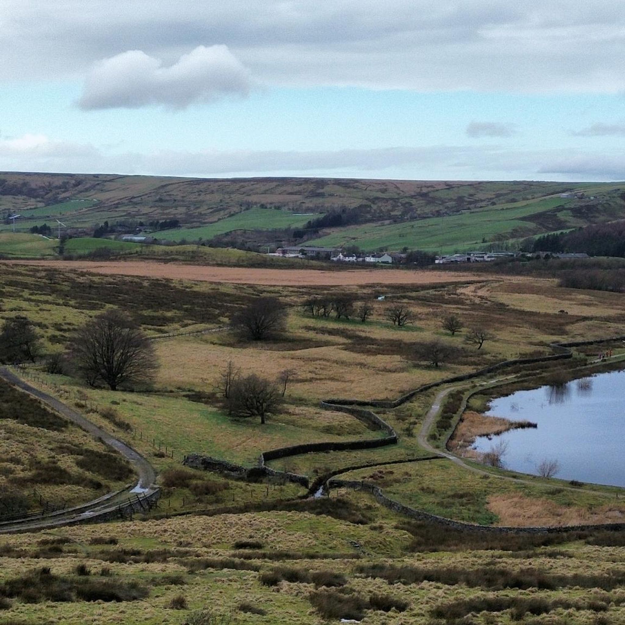
Thieveley Pike is the highest point on Deerplay Moor, part of the Forest of Rossendale. The trig point is at 1,473 feet (449 m). It's on the Burnley Way long distance walking path but also visited by bridleway so you may see bikes and horses.
0
0

A trig point with views which are well worth the climb up.
0
0

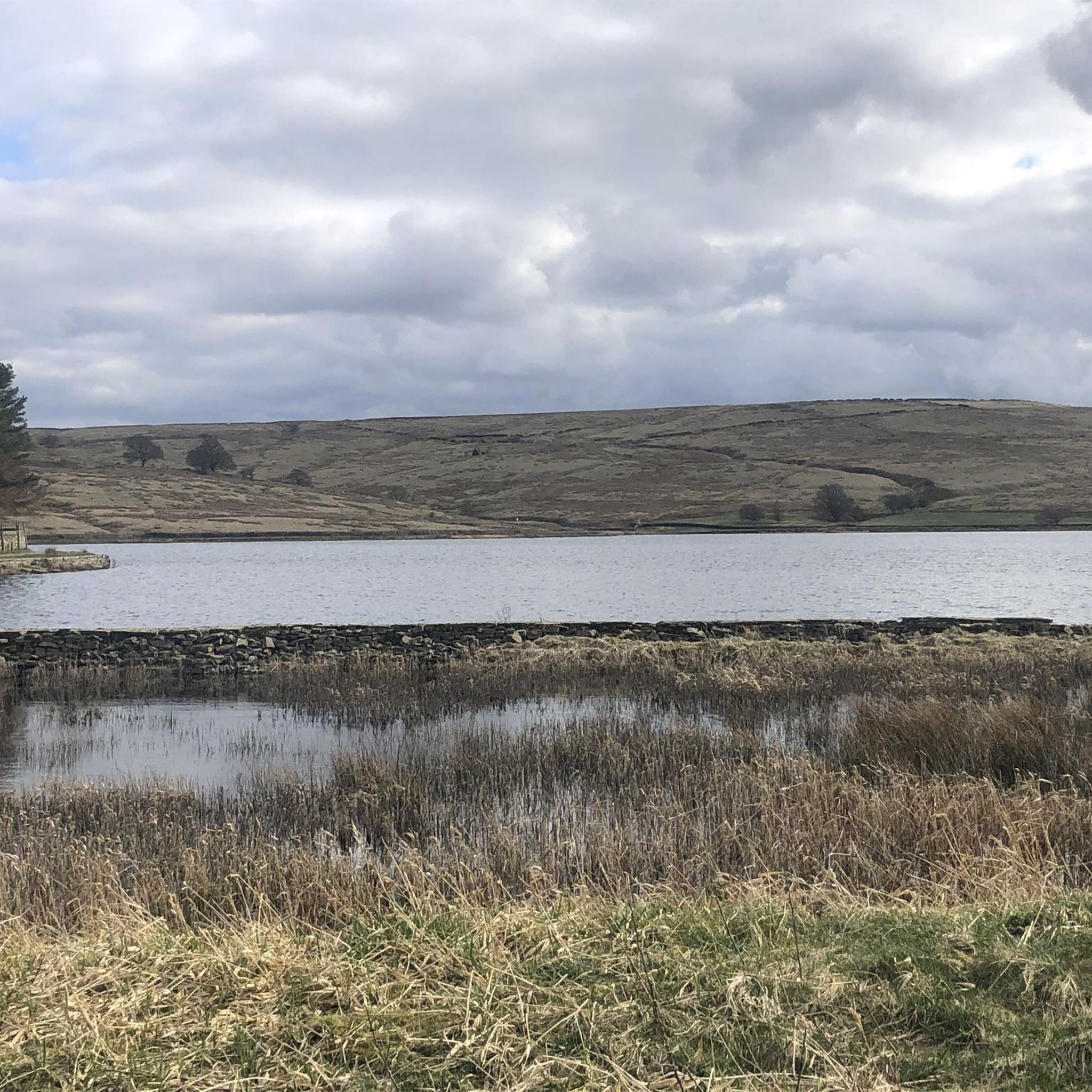
Lad Law at 518m is the trig pointed summit of Boulsworth Hill. It's the highest point in the South Pennines. On a clear day you can see into the Lake District, across the Forest of Bowland and over the south Pennines. The rock here is millstone grit like much of the Peak District. It outcrops in several places forming steep edges.
0
0
Frequently Asked Questions
What are the most popular mountain peaks around Habergham Eaves?
The komoot community highly rates several peaks. Among the most popular are Whirlaw Stones Trig Point, known for its unique Millstone Grit formations, and Lad Law (Boulsworth Hill) Summit, the highest point in the South Pennines. Visitors also frequently enjoy Thieveley Pike Trig Point on Deerplay Moor.
Which peaks offer the best panoramic views in the Habergham Eaves area?
Lad Law (Boulsworth Hill) Summit, at 518 meters, provides extensive views, allowing you to see into the Lake District, across the Forest of Bowland, and over the South Pennines on a clear day. Freeholds Top Trig Point also offers excellent views across the valley towards Rawtenstall and Haslingden.
What kind of terrain can I expect on the mountain peaks near Habergham Eaves?
The terrain is generally characterized by hilly landscapes, rugged moorland, and gritstone outcrops. Areas like Freeholds Top Trig Point can be very marshy, especially after rain, so appropriate footwear is highly recommended. You'll find diverse landscapes ranging from open moorland to unique rock formations.
Are there any unique natural features to see on these peaks?
Yes, Whirlaw Stones Trig Point is famous for its half-mile-long escarpment of Millstone Grit outcrops, weathered into strange and curious shapes resembling human heads, animals, and an anvil. Cowpe Lowe Trig Point features a unique, almost flat, circular moorland bowl at its summit.
What outdoor activities can I do near the mountain peaks around Habergham Eaves?
The area offers a variety of outdoor activities. You can explore numerous running trails, enjoy cycling routes, or tackle mountain biking trails. Many peaks are also part of long-distance walking paths like the Rossendale Way and Burnley Way.
Are there specific hiking trails associated with these peaks?
Yes, several peaks are integrated into established walking routes. The Rossendale Way passes close to Freeholds Top Trig Point and skirts the rim of Cowpe Lowe Trig Point. Thieveley Pike Trig Point is located directly on the Burnley Way long-distance walking path.
Are there any historical sites or interesting landmarks on these peaks?
Cowpe Lowe Trig Point has evidence of early human activity, including possible Bronze Age burial mounds and Mesolithic finds. Whirlaw Stones Trig Point is considered a sacred, magical place with historical connections to druids.
What should I know about the difficulty of hiking these peaks?
Many of the peaks, such as Freeholds Top Trig Point, involve rough and rugged moorland terrain that can be challenging and marshy. While some sections are intermediate, proper preparation and suitable footwear are essential for an enjoyable experience.
What is the best time of year to hike the peaks around Habergham Eaves?
The best time to hike is generally during the drier months, from late spring to early autumn, to avoid the marshy conditions common on the moorlands. Clear days offer the most rewarding panoramic views, especially from higher points like Lad Law (Boulsworth Hill) Summit.
Are there easy mountain walks suitable for beginners or families?
While many routes involve moorland terrain, some sections of the long-distance paths that traverse these peaks may offer easier segments. For specific easy routes, it's best to consult the running trails guide, which includes some easy-graded options, or look for shorter, well-maintained paths around the base of the hills.
What do visitors enjoy most about the mountain peaks around Habergham Eaves?
Visitors appreciate the diverse landscapes, ranging from rugged moorland to unique rock formations, and the panoramic views across Lancashire and the wider Pennine region. The sense of accomplishment from reaching a trig point, like at Cowpe Lowe Trig Point, and the historical and natural intrigue of sites like Whirlaw Stones Trig Point are frequently highlighted.
Most popular routes around Habergham Eaves
Most popular attractions around Habergham Eaves

Get inspired with the komoot mobile app


Explore more
See even more amazing summits around Habergham Eaves with these guides:
