The best walks and hikes around Strickland Roger
4.6
(2711)
23,295
hikers
23
hikes
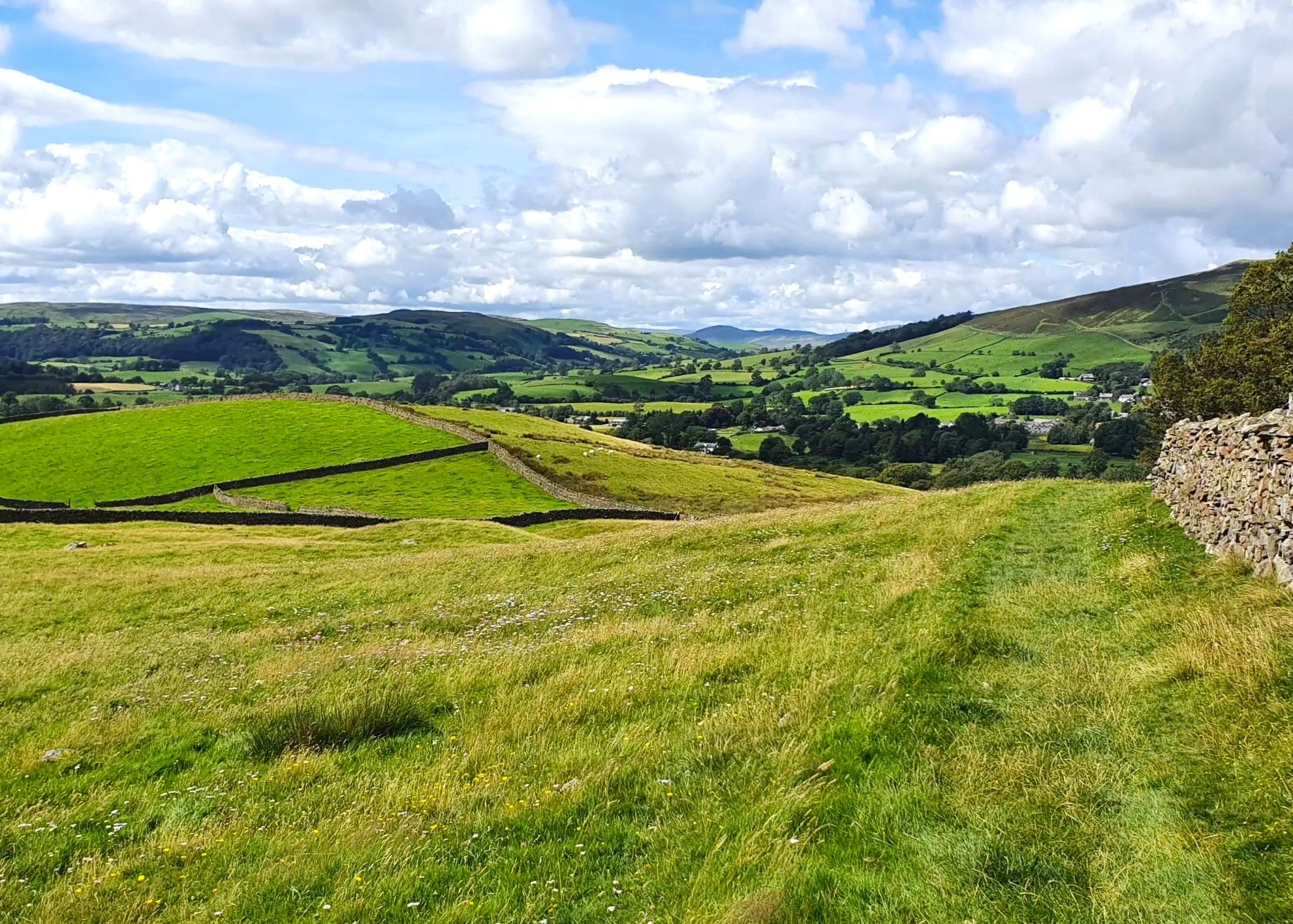
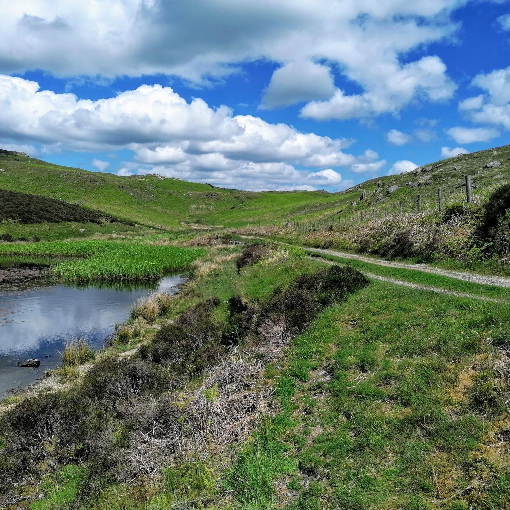
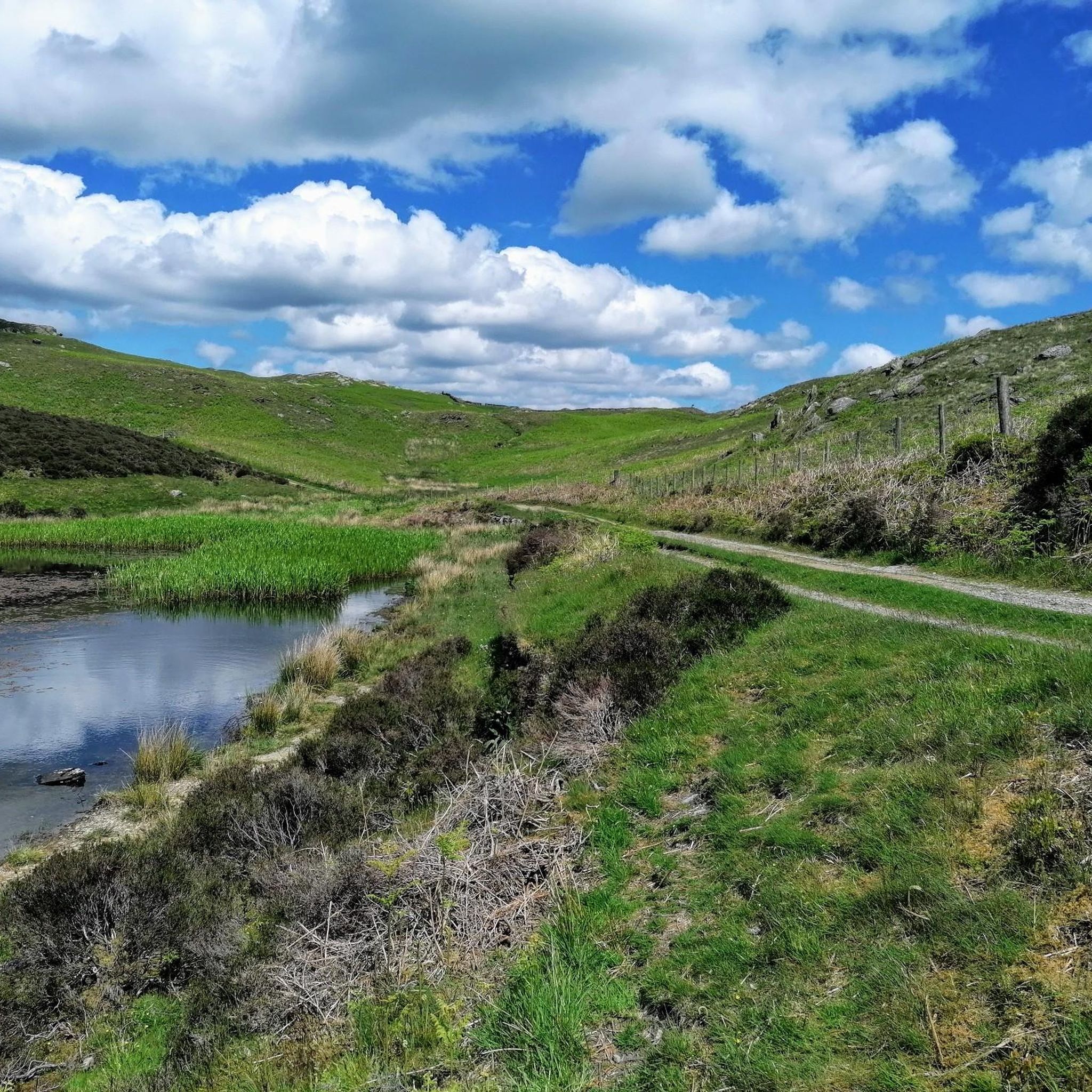
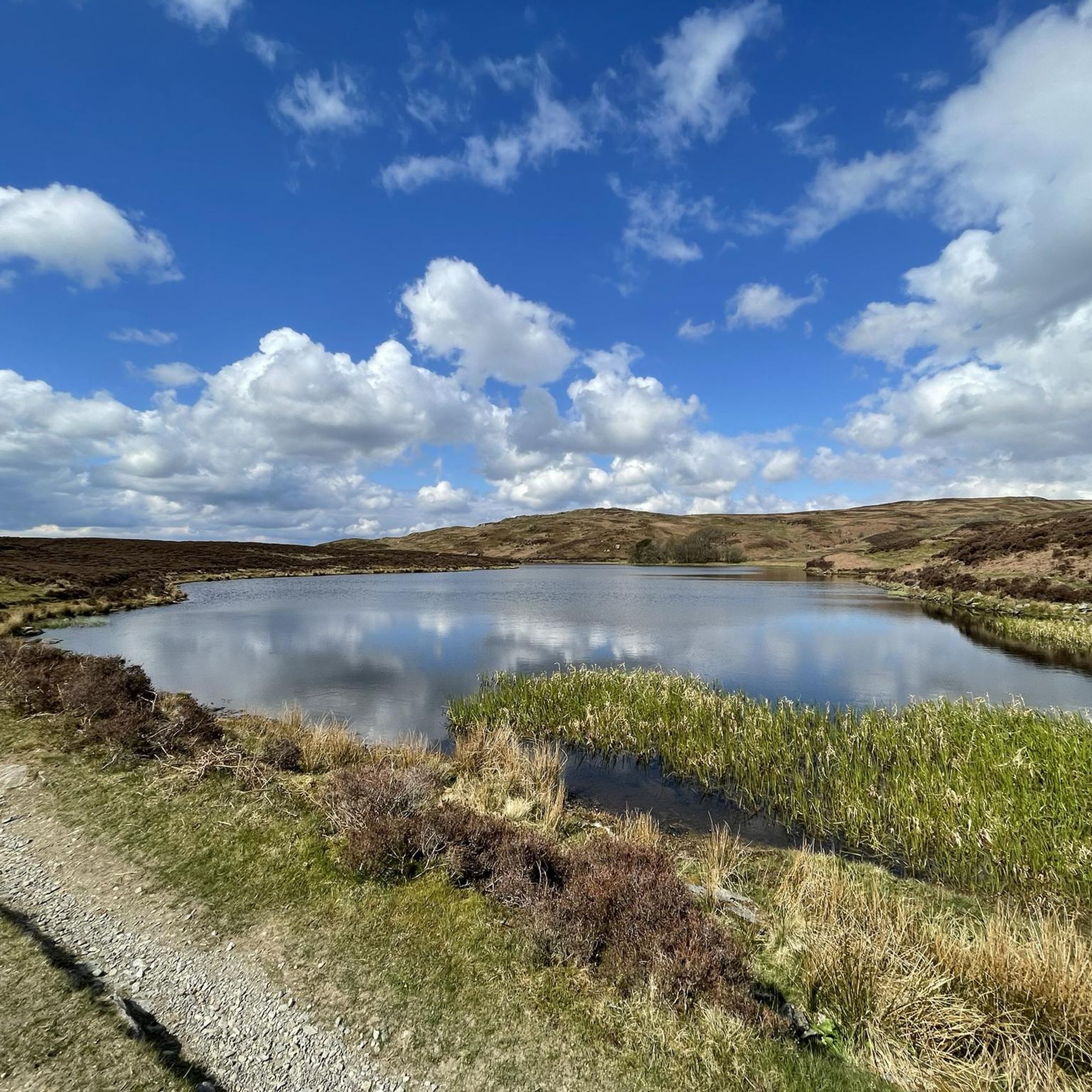
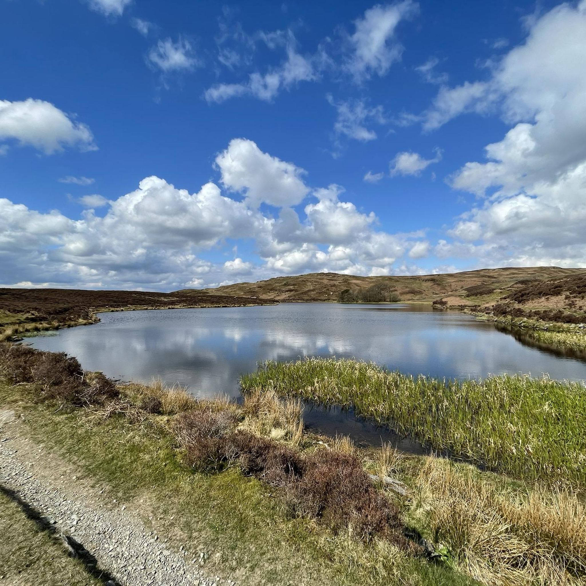
Hiking trails around Strickland Roger are characterized by a landscape of rolling hills, tranquil tarns, and verdant valleys. The region offers a mix of open countryside and wooded areas, providing varied scenery for outdoor activities. Water features, including small lakes and streams, are common along many paths. The terrain generally consists of gentle to moderate gradients, suitable for a range of hiking abilities.
Best hiking trails around Strickland Roger
- The most popular hiking route is Potter Tarn – Gurnal Dubs…
Last updated: July 5, 2026
4.4
(16)
95
hikers
7.30km
02:12
230m
230m
Moderate hike. Good fitness required. Easily-accessible paths. Suitable for all skill levels.
5.0
(4)
84
hikers
5.54km
01:40
170m
170m
Easy hike. Great for any fitness level. Easily-accessible paths. Suitable for all skill levels.

Sign up for free
4.6
(26)
151
hikers
10.5km
03:02
250m
250m
Moderate hike. Good fitness required. Easily-accessible paths. Suitable for all skill levels.
5.0
(2)
35
hikers
6.59km
01:54
170m
170m
Easy hike. Great for any fitness level. Easily-accessible paths. Suitable for all skill levels.
5.0
(1)
27
hikers
10.8km
03:06
250m
250m
Moderate hike. Good fitness required. Easily-accessible paths. Suitable for all skill levels.
Get access to more routes and recommendations from other explorers.
Sign up for free
Already have an account?
Our route recommendations are based on thousands of hikes, rides, and runs completed by other people on komoot.
Start today with a free account
Your next adventure awaits.
Login or Signup

Other adventures around Strickland Roger

Tips from the Community

Managed by the Woodland Trust, Beckmickle Ing is a lovely woodland along the River Kent. It's easy to reach from nearby Staveley and can be linked to a number of great walks in the area. It's particularly delightful in spring, when the bluebells are at their best. Keep an eye out for the resident roe deer too.
1
0


I’ve walked routes past here in all different weather over the years, it’s steep going up from the Bowston end but not too bad via the Longsleddale Road end. Going down from the tarn takes a winding route that either passes Craggy Woods or passes a small farm shop that links to footpaths down to Staveley.
2
0

Don’t miss here for the best ice cream treat! Weds-Sun 12-6pm, with seasonal variations. Check website/facebook. You’ll be so disappointed if it’s closed.
0
0

Delicious Gelato, an ever changing menu of different flavors. Well worth a visit!
0
0

The 555 bus runs every 5 minutes through the town, it’s a great way to get in and out of this walk. The Staveley chippy is a diamond too whilst you’re in this charming little village!
1
0
Frequently Asked Questions
How many hiking trails are available around Strickland Roger?
There are over 25 hiking trails around Strickland Roger, offering a variety of experiences for different skill levels. You'll find a good mix of easy and moderate routes.
Are there easy hiking trails suitable for beginners or families in Strickland Roger?
Yes, Strickland Roger offers 13 easy trails perfect for beginners or families. An excellent option is the Gurnal Dubs – Gurnal Dubs Tarn loop from Strickland Roger, which is 3.4 miles (5.5 km) long and features gentle ascents around a peaceful tarn.
What is the typical length and duration of hikes in Strickland Roger?
Hikes in Strickland Roger vary in length, but many popular routes range from 3 to 6.5 miles (5 to 10.5 km). For example, the Potter Tarn – Gurnal Dubs Tarn loop from Strickland Roger is 4.6 miles (7.4 km) and takes about 2 hours 13 minutes, while the Potter Tarn – Staveley Mill Weir loop from Strickland Roger is 6.5 miles (10.5 km) and typically takes around 3 hours.
Are dogs allowed on the hiking trails in Strickland Roger?
Generally, dogs are welcome on hiking trails around Strickland Roger. However, it's always best to keep them on a leash, especially when passing through farmland with livestock or in areas with ground-nesting birds. Please also ensure you clean up after your dog.
What kind of natural landmarks or viewpoints can I expect to see on hikes?
The area around Strickland Roger is rich in natural beauty, offering several viewpoints and summits. You can find stunning vistas from places like Brant Fell, Grey Crag Summit, and Orrest Head. Many trails also feature tranquil tarns and rolling hills.
Are there circular hiking routes available in Strickland Roger?
Yes, many of the hiking routes in Strickland Roger are circular, allowing you to start and end at the same point. Examples include the Potter Tarn – Gurnal Dubs Tarn loop and the Gurnal Dubs – Gurnal Dubs Tarn loop, both starting from Strickland Roger.
What is the best time of year to go hiking in Strickland Roger?
Strickland Roger offers enjoyable hiking throughout the year. Spring brings blooming wildflowers, summer provides longer daylight hours, and autumn showcases beautiful foliage. Even winter can be rewarding for crisp, clear walks, though conditions can be more challenging with potential ice or snow on higher ground.
What do other hikers enjoy most about the trails in Strickland Roger?
The hiking trails in Strickland Roger are highly rated by the komoot community, with an average score of 4.5 stars from over 480 reviews. Hikers often praise the tranquil tarns, varied scenery of open countryside and wooded areas, and the well-maintained paths suitable for various abilities.
Are there any less crowded hiking options near Strickland Roger?
While popular routes can see more visitors, exploring trails slightly further afield or during off-peak times (weekdays, early mornings) can offer a quieter experience. Consider routes like the Gurnal Dubs – Gurnal Dubs Tarn loop from Garnett Bridge for a potentially less frequented starting point.
What should I wear or bring for hiking in Strickland Roger?
Given the varied terrain and often changeable weather in the region, it's advisable to wear sturdy hiking boots, layers of clothing, and waterproof outerwear. Always carry water, snacks, a map or GPS device, and a fully charged phone. Sun protection is also recommended, even on cloudy days.
Are there any trails that pass by historical sites or interesting points of interest?
Many routes in the area offer glimpses of local history and points of interest. For example, the Potter Tarn – St Margaret's Tower, Staveley loop from Strickland Roger includes St Margaret's Tower, adding a historical element to your walk.
Most popular routes around Strickland Roger
Most popular attractions around Strickland Roger

Get inspired with the komoot mobile app


Explore more
Browse the best Hikes in other regions.
