The best walks and hikes around Strickland Ketel
4.5
(2529)
21,001
hikers
22
hikes
Hiking around Strickland Ketel offers diverse landscapes, from rolling hills to river valleys, providing varied outdoor experiences. The area is characterized by its proximity to the Lake District National Park, offering views of Lake Windermere and surrounding fells. Notable natural features include Cunswick Scar, a hill providing views over Kendal, and the River Kent, which winds through accessible paths. Farmlands and woodlands also contribute to the scenic routes available.
Best hiking trails around Strickland Ketel
- The most popular hiking route…
Last updated: October 8, 2026
4.7
(31)
164
hikers
10.7km
03:05
250m
250m
Moderate hike. Good fitness required. Easily-accessible paths. Suitable for all skill levels.
5.0
(1)
20
hikers
10.7km
03:04
250m
250m
Moderate hike. Good fitness required. Easily-accessible paths. Suitable for all skill levels.

5.0
(1)
24
hikers
Moderate hike. Good fitness required. Easily-accessible paths. Suitable for all skill levels.
4.8
(16)
210
hikers
9.54km
02:28
50m
50m
Moderate hike. Good fitness required. Easily-accessible paths. Suitable for all skill levels.
4.7
(3)
12
hikers
Easy hike. Great for any fitness level. Easily-accessible paths. Suitable for all skill levels.
Get access to more routes and recommendations from other explorers.
Already have an account?
Our route recommendations are based on thousands of hikes, rides, and runs completed by other people on komoot.
Start today with a free account
Your next adventure awaits.

Tips from the Community

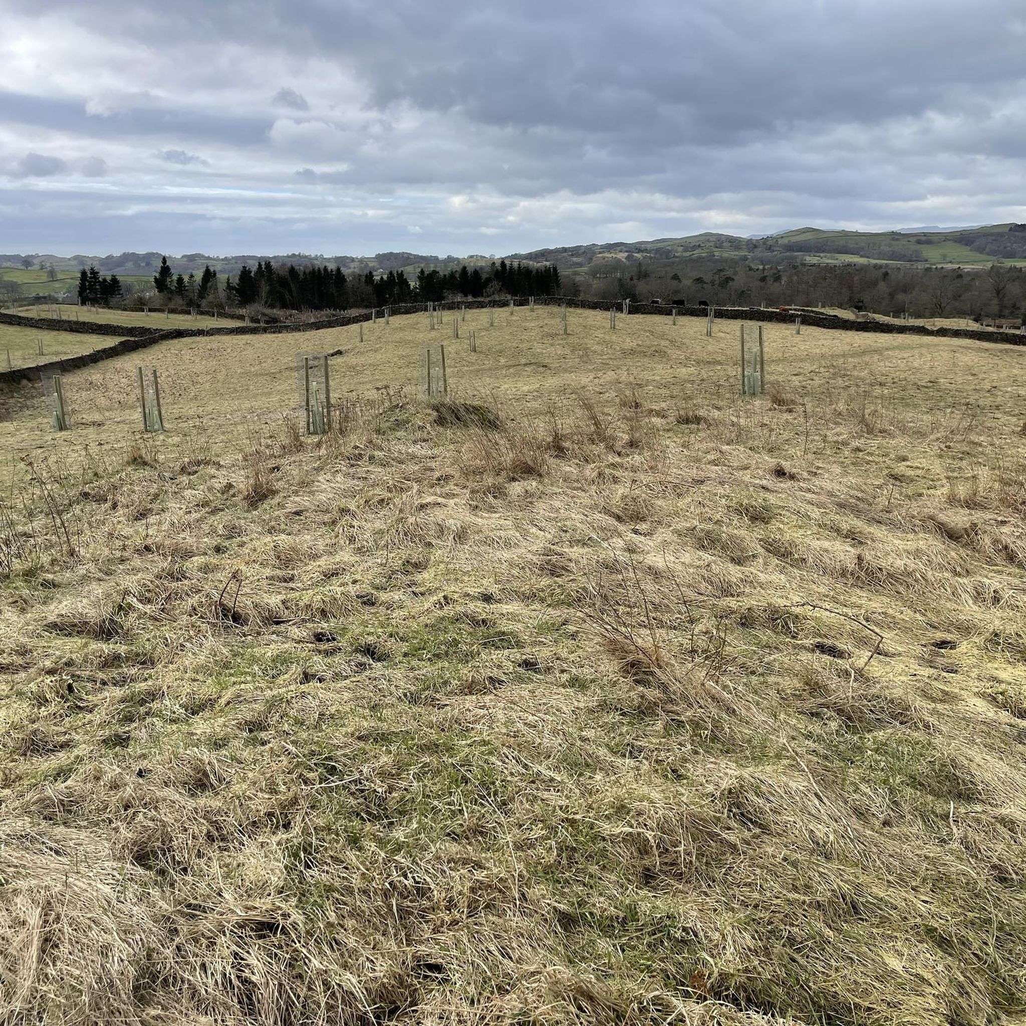
Great views from 'the mushroom'. Lovely evening runs.
0
0


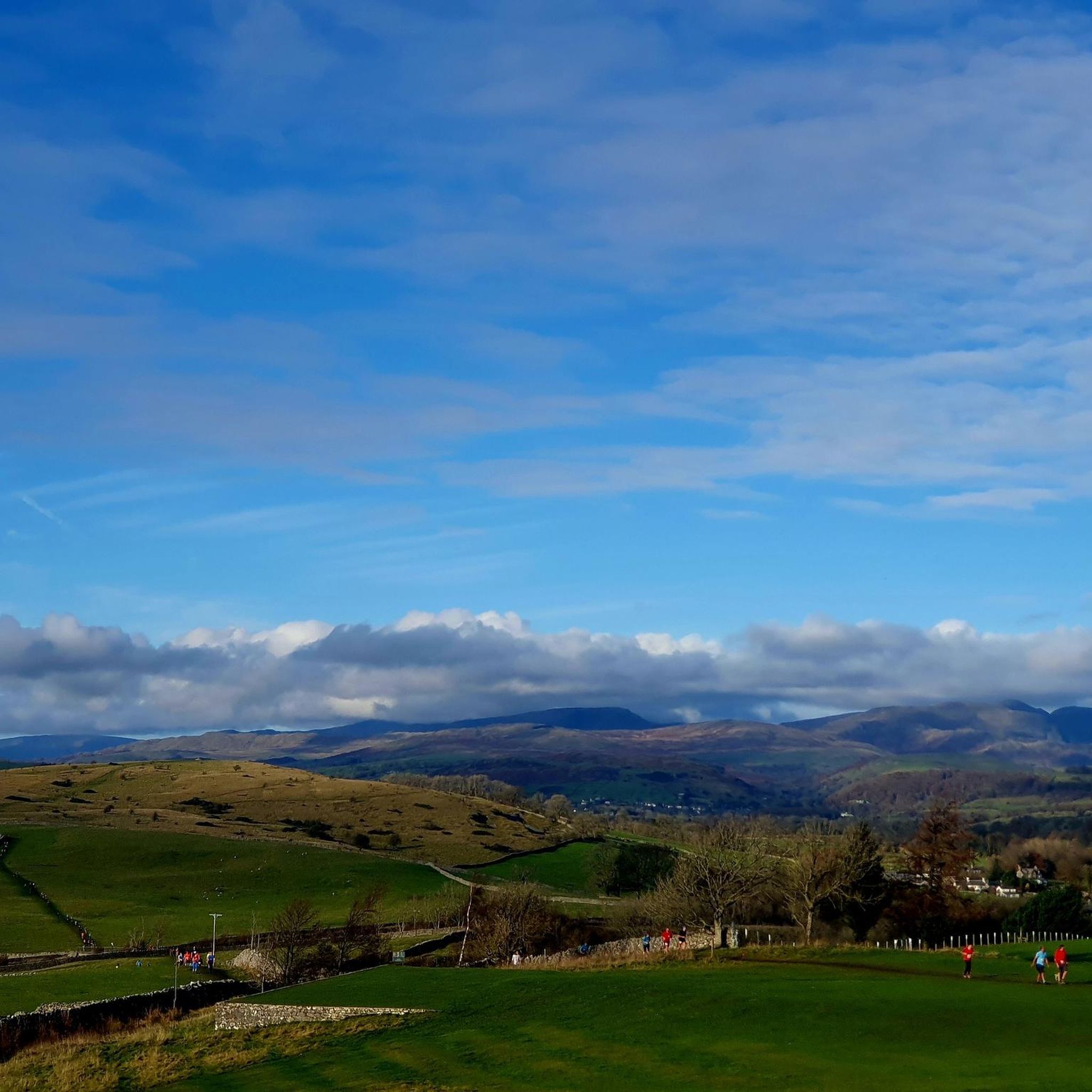
Although short lived, the River Kent is surely one of England's most scenic. It gathers high in the Kentmere fells and flows through Staveley and Kendal, before emptying into Morcambe Bay at the Kent Estuary. This riverside section forms a part of the Dales Way, a celebrated long-distance hike between Ilkley in West Yorkshire and Bowness-on-Windermere.
0
0
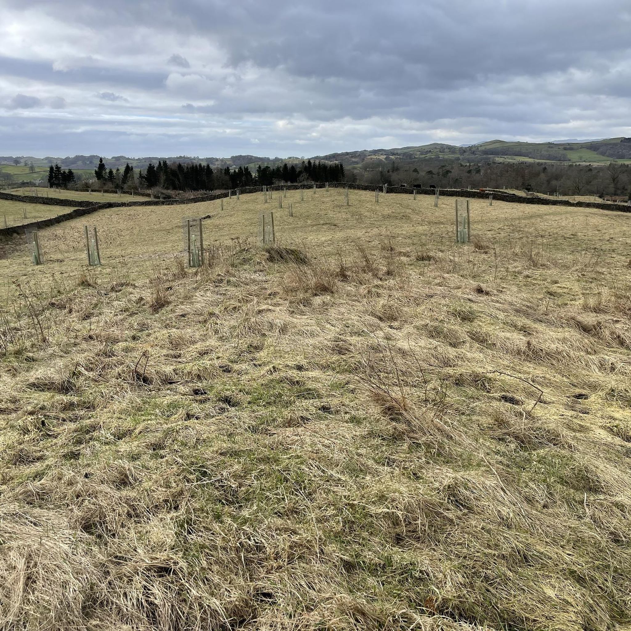
Managed by the Woodland Trust, Beckmickle Ing is a lovely woodland along the River Kent. It's easy to reach from nearby Staveley and can be linked to a number of great walks in the area. It's particularly delightful in spring, when the bluebells are at their best. Keep an eye out for the resident roe deer too.
1
0
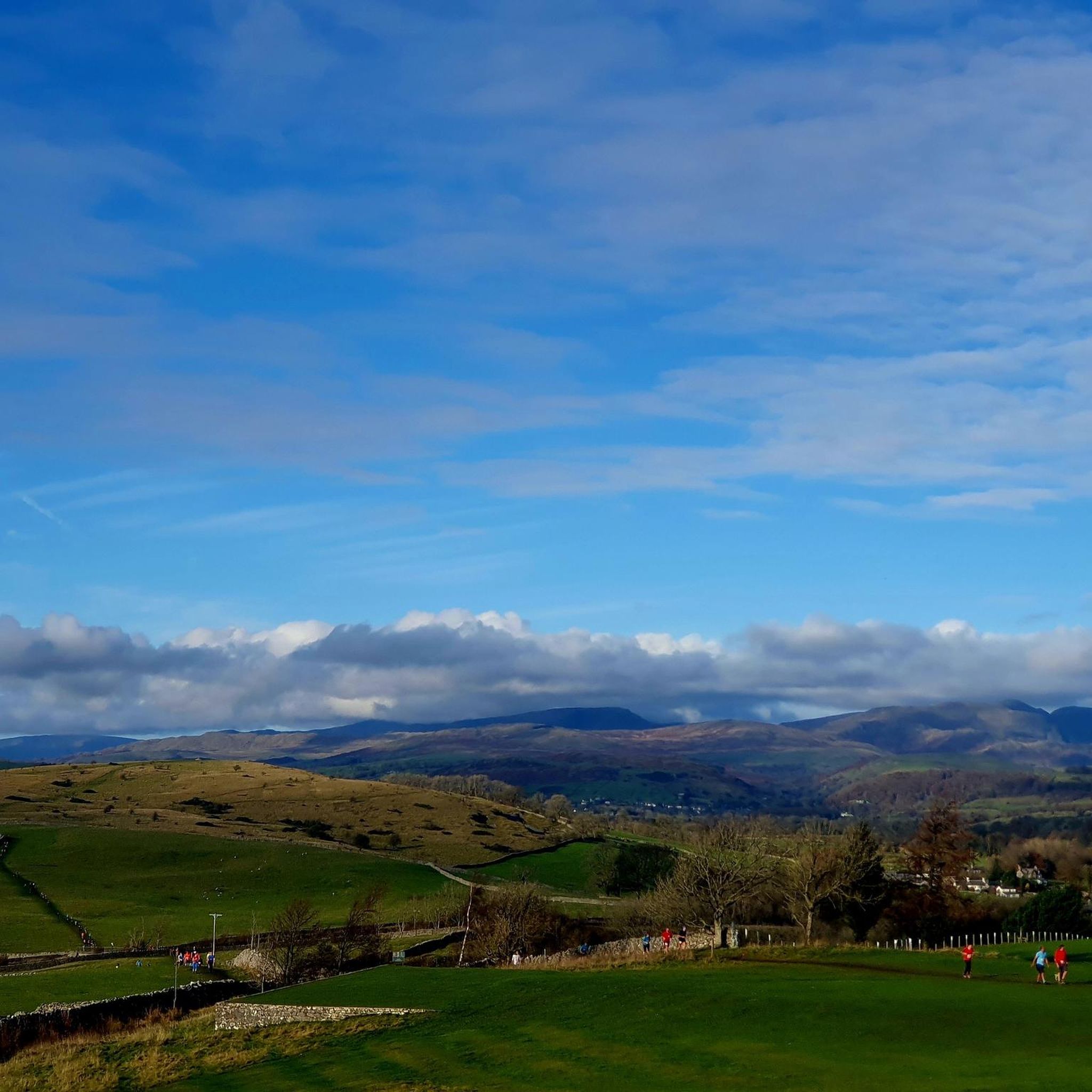
This is the 771-foot (235-m) true summit of Scout Scar. This popular escarpment boasts tremendous views towards Lakeland and east towards the Howgill Fells, and is within hiking distance of Kendal's town centre.
0
0


Frequently Asked Questions
How many hiking trails are available around Strickland Ketel?
There are over 20 hiking routes around Strickland Ketel, catering to various preferences and fitness levels. These include easy strolls, moderate paths, and some more challenging options.
What types of landscapes can I expect to see while hiking in Strickland Ketel?
Hiking in Strickland Ketel offers diverse landscapes, from rolling hills and lush valleys to river paths and farmlands. You can enjoy views over Kendal and the South Lakes from elevated points like Cunswick Scar, or follow the tranquil River Kent, where you might spot local wildlife like roe deer.
Are there any easy, family-friendly hikes in the area?
Yes, Strickland Ketel offers several easy routes suitable for families. An excellent option is the Crook Summit – Cunswick Scar summit cairn loop from Strickland Ketel. This easy 2.4-mile (3.8 km) trail provides lovely views over Kendal and the South Lakes and takes just over an hour to complete.
What are some notable viewpoints or landmarks to look out for on the trails?
Hikers can enjoy breathtaking views from several points. Cunswick Scar offers 'fab views over Kendal and the South Lakes'. For broader vistas, consider visiting Orrest Head, which provides an 'introduction to a dream' with its views of Lake Windermere and surrounding fells. You might also encounter historical listed buildings and the impressive Sizergh Castle and Gardens nearby.
What is the typical duration and difficulty of hikes around Strickland Ketel?
Hikes vary significantly in duration and difficulty. You can find easy walks lasting around an hour, such as the Crook Summit – Cunswick Scar summit cairn loop. Moderate routes, like the Potter Tarn – Staveley Mill Weir loop, can take about 3 hours for 6.5 miles (10.5 km). There are also more challenging routes for experienced hikers.
Are there any circular walking routes available?
Yes, many of the trails around Strickland Ketel are circular, allowing you to start and end at the same point. Examples include the Crook Summit – Cunswick Scar summit cairn loop and the River Kent – Beckmickle Ing loop from Strickland Roger, which offers a moderate 6-mile (9.6 km) path along the river.
What do other hikers say about the trails in Strickland Ketel?
The trails in Strickland Ketel are highly regarded by the komoot community, holding an average rating of 4.6 stars from over 1,500 reviews. Hikers frequently praise the diverse landscapes, accessible paths, and the stunning views, particularly from elevated points like Cunswick Scar.
Is Strickland Ketel a good destination for dog-friendly walks?
Strickland Ketel, being in a rural area with many public footpaths and open spaces, generally offers good opportunities for dog walking. However, always keep dogs under control, especially when passing through farmlands with livestock, and adhere to local signage regarding lead requirements.
What is the best time of year to go hiking in Strickland Ketel?
The region around Strickland Ketel is beautiful year-round, but spring and autumn often provide the most pleasant hiking conditions with mild temperatures and vibrant scenery. Summer is also popular, though trails can be busier. Winter hiking is possible, but requires appropriate gear and caution due to potentially wet or icy conditions.
Are there any natural features or attractions to explore besides the main trails?
Beyond the main trails, the area boasts several natural features. The River Kent is a prominent feature, offering accessible paths and opportunities for wildlife spotting. You can also find various natural monuments and viewpoints, such as Brant Fell and The Helm Trig Point, which provide additional points of interest during your hikes.
How accessible are the paths for different fitness levels?
The paths around Strickland Ketel are generally well-maintained and accessible. Many routes, especially those along the River Kent and some loops around Cunswick Scar, are categorized as easy with easily accessible paths. While some routes require sure-footedness and sturdy shoes, there are options for nearly all fitness levels, from gentle strolls to more strenuous climbs.
Most popular routes around Strickland Ketel
Most popular attractions around Strickland Ketel

Get inspired with the komoot mobile app


Explore more
Browse the best Hikes in other regions.
