The best road cycling routes around Staveley-In-Cartmel
4.7
(115)
4,768
riders
168
rides
Road cycling routes around Staveley-In-Cartmel are characterized by a landscape of lakes, rolling hills, and rural villages within the Lake District. The terrain includes varied elevations, from lakeside paths to moderate climbs, offering diverse experiences for road cyclists. Routes often feature views of major bodies of water like Coniston Water and Windermere. The area provides a network of roads suitable for cycling through scenic countryside.
Best road cycling routes around Staveley-In-Cartmel
- The most popular road cycling route is Low Wood…
Last updated: July 4, 2026
4.7
(9)
733
riders
49.8km
02:34
530m
530m
Moderate road ride. Good fitness required. Mostly well-paved surfaces and easy to ride.
4.6
(7)
157
riders
43.5km
02:31
670m
660m
Moderate road ride. Good fitness required. Mostly well-paved surfaces and easy to ride.

Sign up for free
5.0
(3)
125
riders
56.2km
03:10
790m
790m
Moderate road ride. Good fitness required. Mostly well-paved surfaces and easy to ride.
5.0
(1)
43
riders
Easy road ride. Great for any fitness level. Mostly well-paved surfaces and easy to ride.
3.0
(2)
28
riders
Moderate road ride. Good fitness required. Mostly well-paved surfaces and easy to ride.
Get access to more routes and recommendations from other explorers.
Sign up for free
Already have an account?
Our route recommendations are based on thousands of hikes, rides, and runs completed by other people on komoot.
Start today with a free account
Your next adventure awaits.
Login or Signup
Popular around Staveley-In-Cartmel
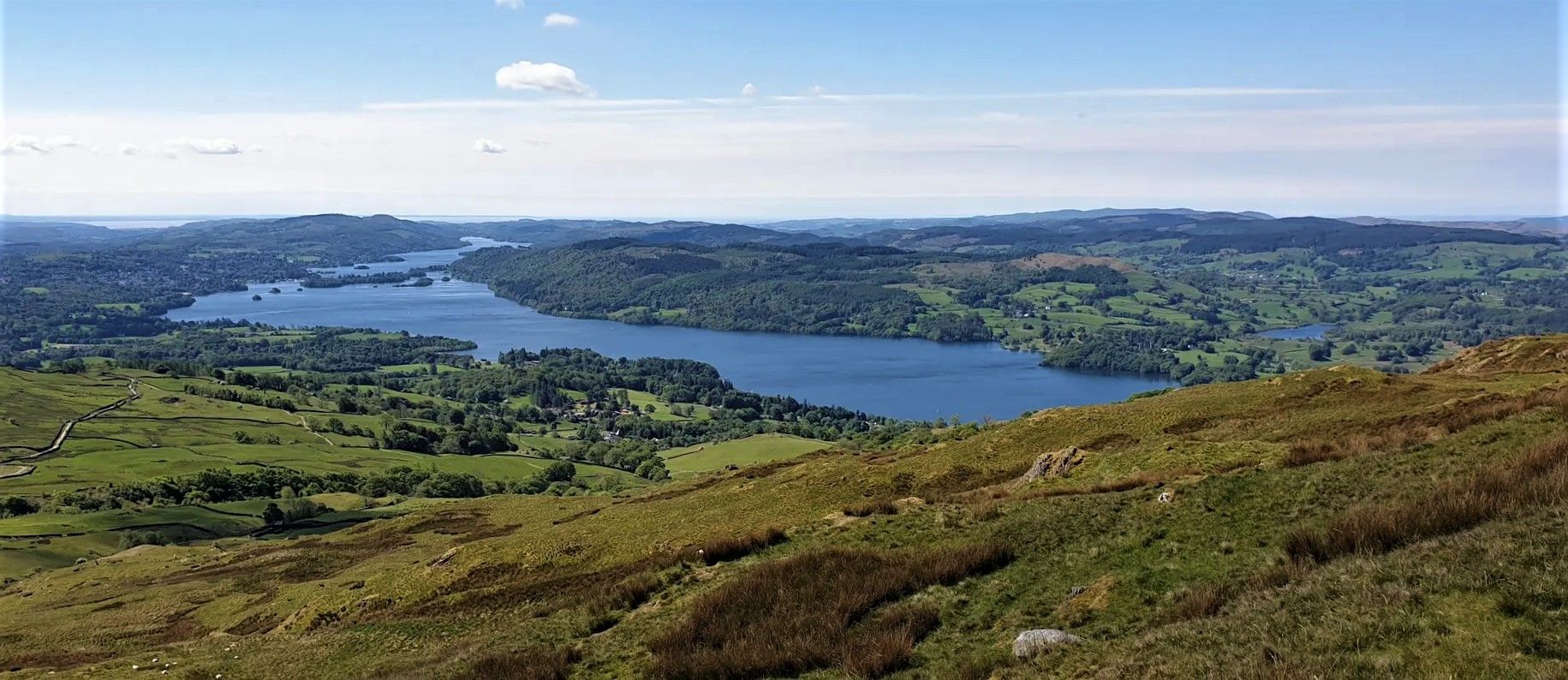
Windermere Way — Hike a poetic loop of a Lakeland legend
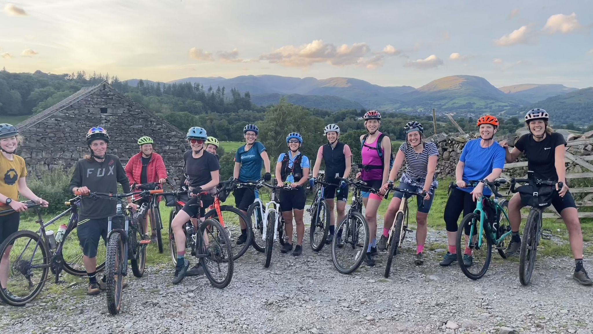
Beginner-friendly gravel rides in the Lake District
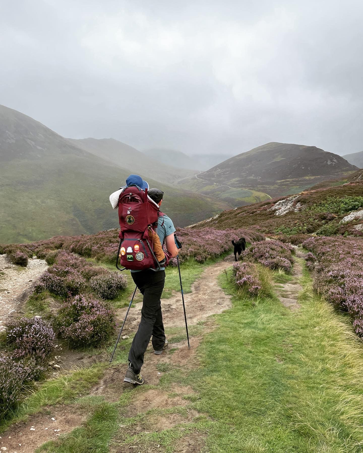
Fells and lakes for little explorers — Family walks in the Lake District
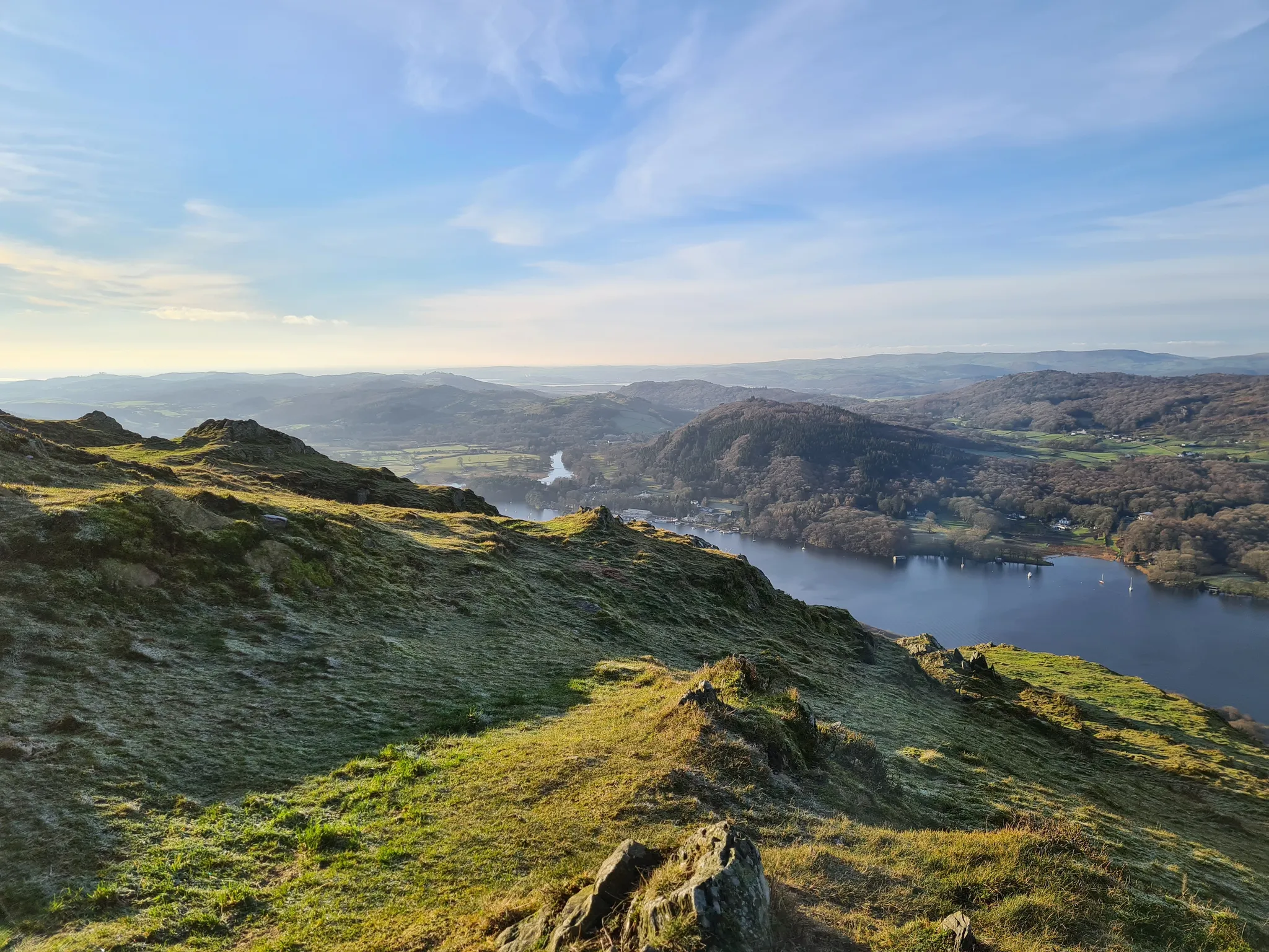
Beautiful beginner hikes in the Eastern Lake District
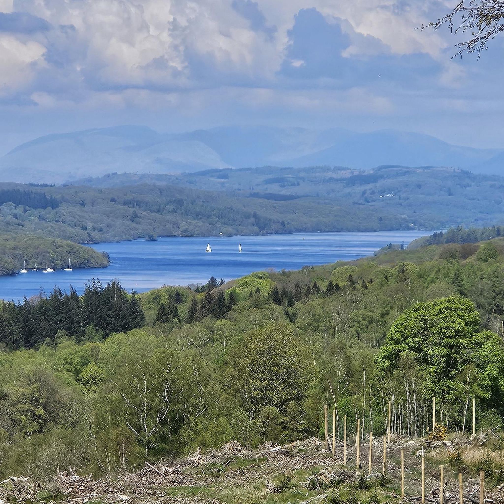
Hiking around Staveley-In-Cartmel
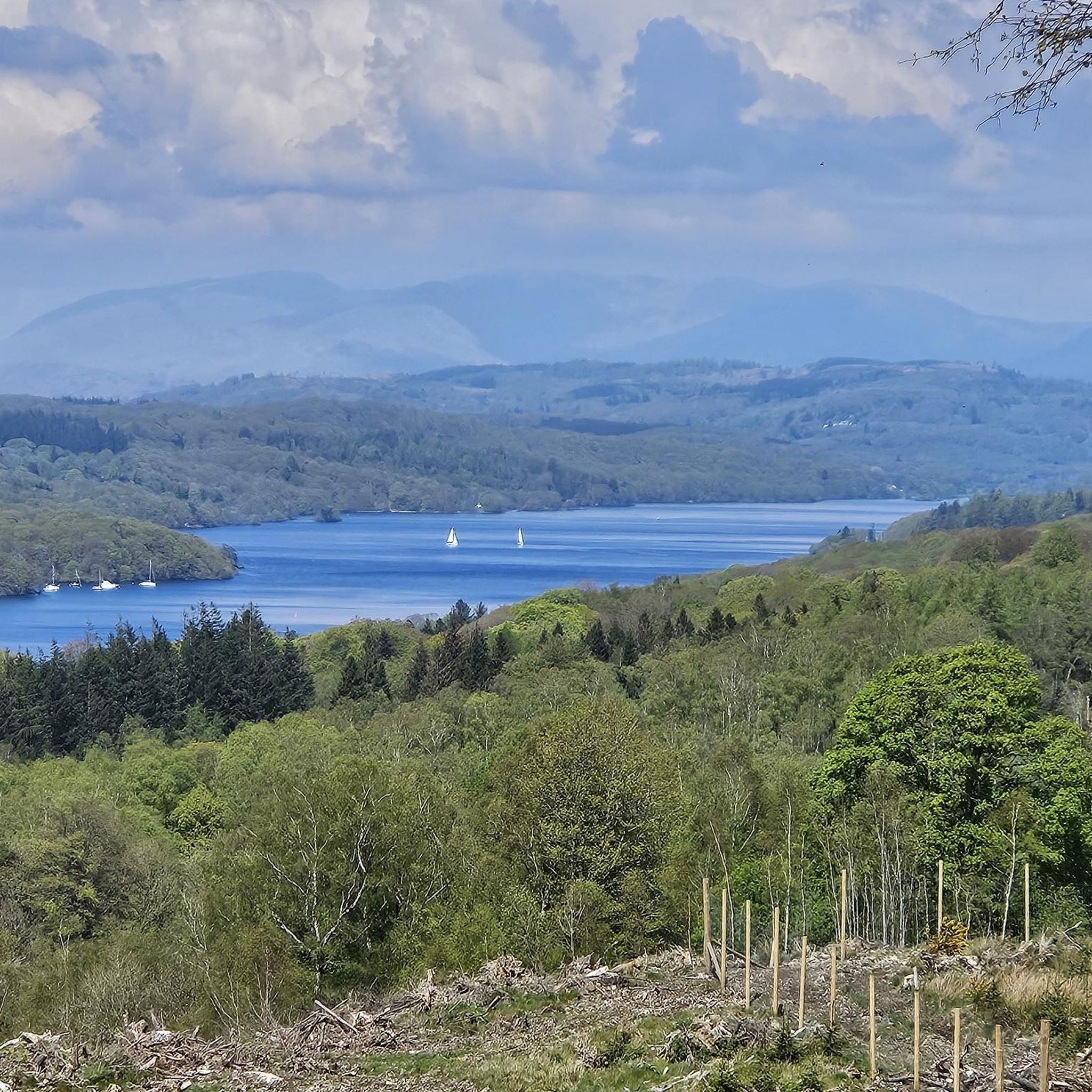
Running Trails around Staveley-In-Cartmel
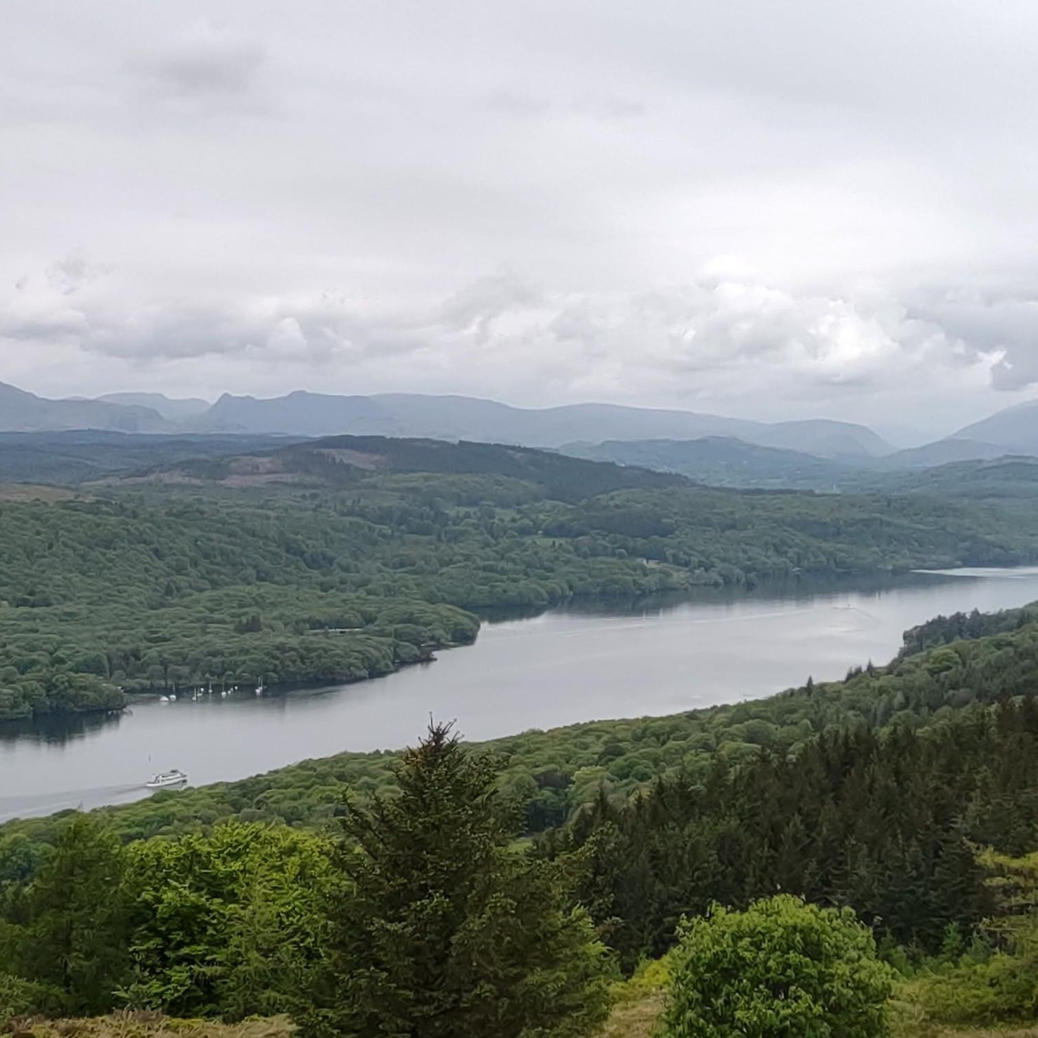
MTB Trails around Staveley-In-Cartmel

Gravel biking around Staveley-In-Cartmel
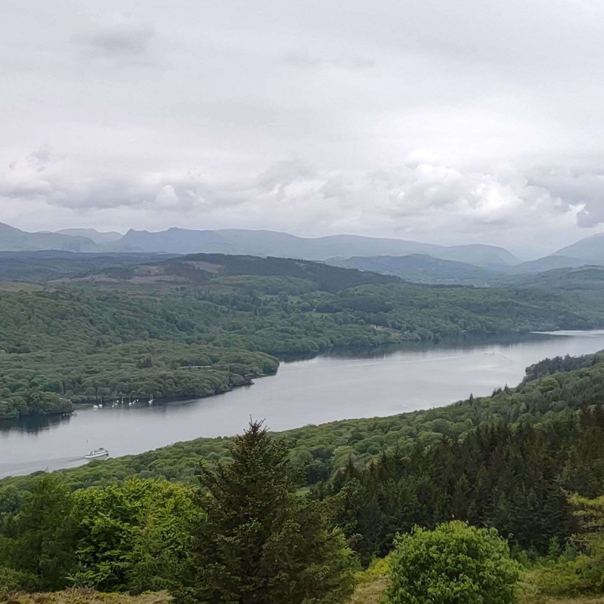
Cycling around Staveley-In-Cartmel
Other adventures around Staveley-In-Cartmel


Tips from the Community

Coniston is located at the northern end of the third largest lake in the Lake District: Coniston Water. Steam yacht cruises are offered on this lake. Coniston is said to be derived from the Old Norse words Konigs Tun or king's settlement. That king is said to have been Thorstein, a Viking who gave his name to Thurstinii Watra, the old name of Coniston Water. (Wikipedia)
5
0

Great shortcut rather than heading around the north of the lake.
0
0

Always busy down here. At peak times, you'll be luck to get a parking spot along Glebe road. But there's always plenty of parking in the long stay further along the road. Beautiful scenery no matter the time of year.
0
0

After crossing the bay, the original tries to take you down the A590, a dual carriageway with cars doing 70 mph for 350 m to the roundabout. Not Safe or advisable!
0
0

Overlooking Coniston water with rotating exhibitions by artists
0
0

Not always running when you need it but when it is, the staff are friendly and always interested in your plans for the day.
0
0
Frequently Asked Questions
What is the general difficulty level of road cycling routes around Staveley-In-Cartmel?
Road cycling routes in Staveley-In-Cartmel offer a range of difficulties. You'll find a good selection of moderate routes, with 96 available, alongside 54 easier options and 24 more challenging trails. This variety ensures there's something for every skill level, from gentle lakeside spins to routes with significant climbs.
Are there suitable road cycling routes for beginners or those looking for an easier ride?
Yes, there are plenty of easier road cycling routes available. For instance, the Haverthwaite Station Tearoom – The Mallard Tea Shop loop from Upper Allithwaite is an easy 28.6 km ride. Another good option is the Public Yew, Near Sawrey – Hawkshead Village loop from Finsthwaite, which is 24.2 km and also rated as easy.
What kind of challenges can I expect on road cycling routes in this area?
The area around Staveley-In-Cartmel features varied terrain, including rolling hills and moderate climbs. Routes like the Low Wood Bay Marina – Sun Hill Climb loop from Upper Allithwaite, which includes a notable climb and covers 49.8 km with over 530 meters of elevation gain, offer a good challenge for those seeking more demanding rides.
Are there any longer road cycling routes for experienced riders?
For riders looking for longer distances, the Coniston Water – Coniston Village loop from Upper Allithwaite is a substantial 56.1 km route with nearly 800 meters of elevation gain, providing a rewarding experience for experienced cyclists.
What are the best seasons for road cycling around Staveley-In-Cartmel?
While road cycling is enjoyable year-round, the spring and autumn months often offer the most pleasant conditions with milder temperatures and beautiful scenery. Summer can be popular, but also busier. Always check local weather forecasts, as conditions in the Lake District can change quickly.
What scenic viewpoints or natural attractions can I see along the road cycling routes?
The routes often feature stunning views of major bodies of water like Coniston Water and Windermere. You can also find natural monuments and viewpoints such as Brant Fell, Gummer's How, and Carron Crag, which offer panoramic vistas of the surrounding landscape.
Are there many circular road cycling routes in the Staveley-In-Cartmel area?
Yes, many of the road cycling routes around Staveley-In-Cartmel are designed as loops, allowing you to start and finish in the same location. Examples include the Head of Coniston Lake – Coniston Water loop from Finsthwaite, which circles a major lake, and the Low Wood Bay Marina – Sun Hill Climb loop from Upper Allithwaite.
What do other road cyclists enjoy most about road cycling in Staveley-In-Cartmel?
The area is highly rated by the komoot community, with an average score of 4.7 stars from over 117 reviews. Reviewers often praise the beautiful lakeside views, the variety of terrain from rolling hills to quiet village roads, and the overall scenic countryside that defines the region's cycling experience.
How many road cycling routes are available around Staveley-In-Cartmel?
There are over 170 road cycling routes available around Staveley-In-Cartmel, offering a wide selection for different preferences and skill levels. More than 4900 road cyclists have used komoot to explore this varied terrain.
Are there any quiet road cycling trails away from heavy traffic?
Many routes in the Staveley-In-Cartmel area utilize quiet village roads and less-trafficked country lanes, especially those that venture away from the main tourist hubs around the larger lakes. The region is known for its peaceful rural cycling opportunities.
Where can I find parking for road cycling routes in Staveley-In-Cartmel?
While specific parking locations for each route aren't detailed, most villages and popular starting points in the Lake District, including Staveley-In-Cartmel, offer public car parks. It's advisable to check local signage for parking availability and fees upon arrival.
Most popular routes around Staveley-In-Cartmel
Most popular attractions around Staveley-In-Cartmel

Get inspired with the komoot mobile app


Explore more
Browse the best Road cycling routes in other regions.
