The 20 Most Amazing Peaks around Garsdale
Best mountain peaks around Garsdale are found within the Yorkshire Dales National Park, an area characterized by open moorland and steep-sided valleys. The region offers a variety of fells and peaks, providing opportunities for exploration. Garsdale's landscape includes prominent summits and extensive plateaus, with the highest points offering wide-ranging views. The area is accessible, with Garsdale Head serving as a gateway to many walking routes.
Best mountain peaks around Garsdale
- The most popular mountain peaks is Whernside Summit, a summit that stands at 736 meters (2,415 feet) and is the highest of Yorkshire's Three Peaks. It offers views over the Yorkshire Dales and beyond, with well-trodden paths making the ascent accessible.
- Another must-see spot is The Calf Summit (Howgill Fells), a summit and trail located in both the Yorkshire Dales National Park and Cumbria. Visitors can expect a green, flat-topped hill whose ascent often passes the 198-meter (650-foot) Cautley Spout waterfall, culminating in panoramic views.
- Visitors also love Great Shunner Fell Summit, a natural monument and summit that is the third highest in the Yorkshire Dales at 716 meters. It is known for its expansive views of the North Pennines, the Lake District, and other Yorkshire Dales fells.
- Garsdale is known for its fells, summits, and plateaus. The region offers a variety of mountain peaks to see and explore, from distinctive profiles like Wild Boar Fell to remote, flat-topped hills such as Baugh Fell.
- The mountain peaks around Garsdale are appreciated by the komoot community, with 346 upvotes and 143 photos shared across 6 highlights.
Last updated: May 22, 2026
Whernside Summit
Highlight • Summit
Tip by

The Calf Summit (Howgill Fells)
Highlight • Trail
Tip by

Sign up now to discover places like this
Get recommendations on the best single tracks, peaks, & plenty of other exciting outdoor places.
Sign up for free
Wild Boar Fell Summit Shelter
Highlight • Viewpoint
There is a shelter here where you can sit and rest your weary legs that have run you all the way up here!
Tip by

Great Shunner Fell Summit
Highlight • Natural Monument
Tip by
Calders Summit
Highlight • Viewpoint
Tip by

Sign up for free to discover even more peaks around Garsdale.
Sign up for free
Already have an account?
Start today with a free account
Your next adventure awaits.
Login or Signup
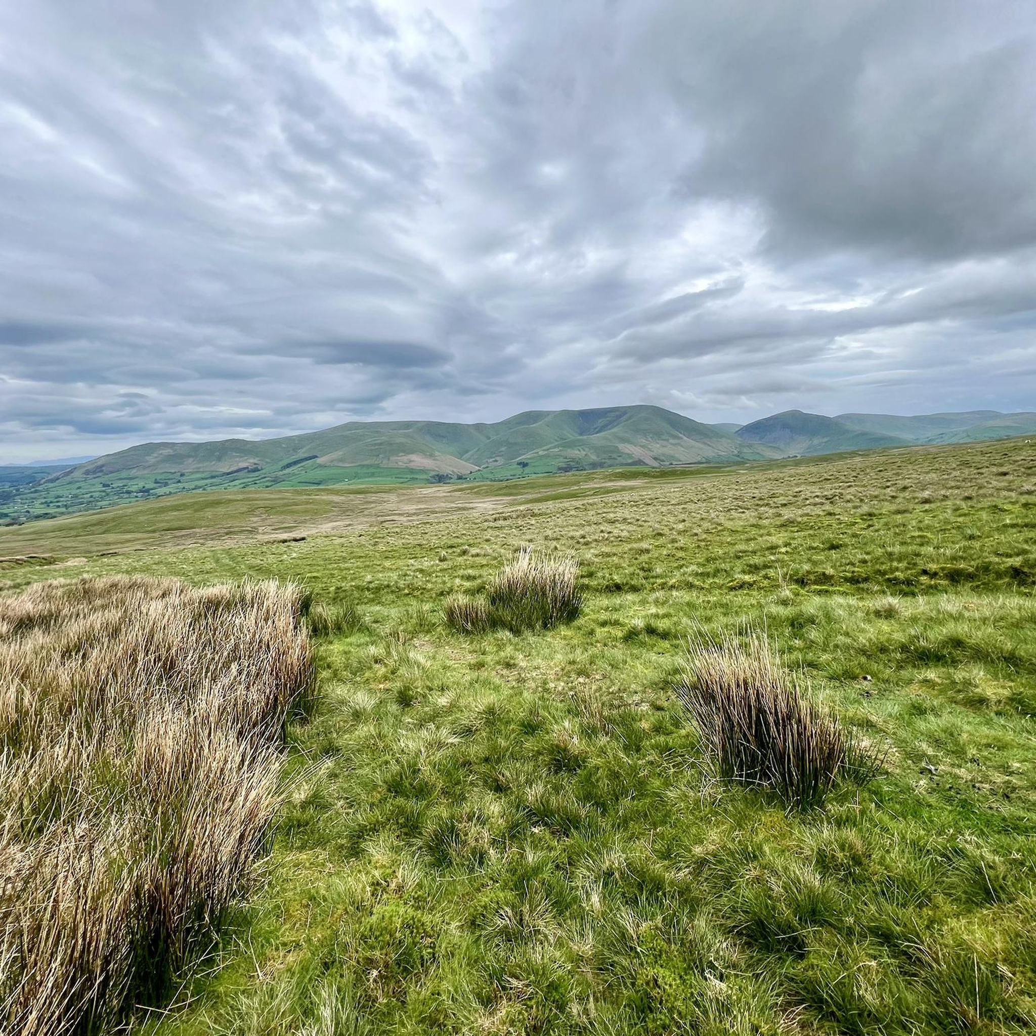
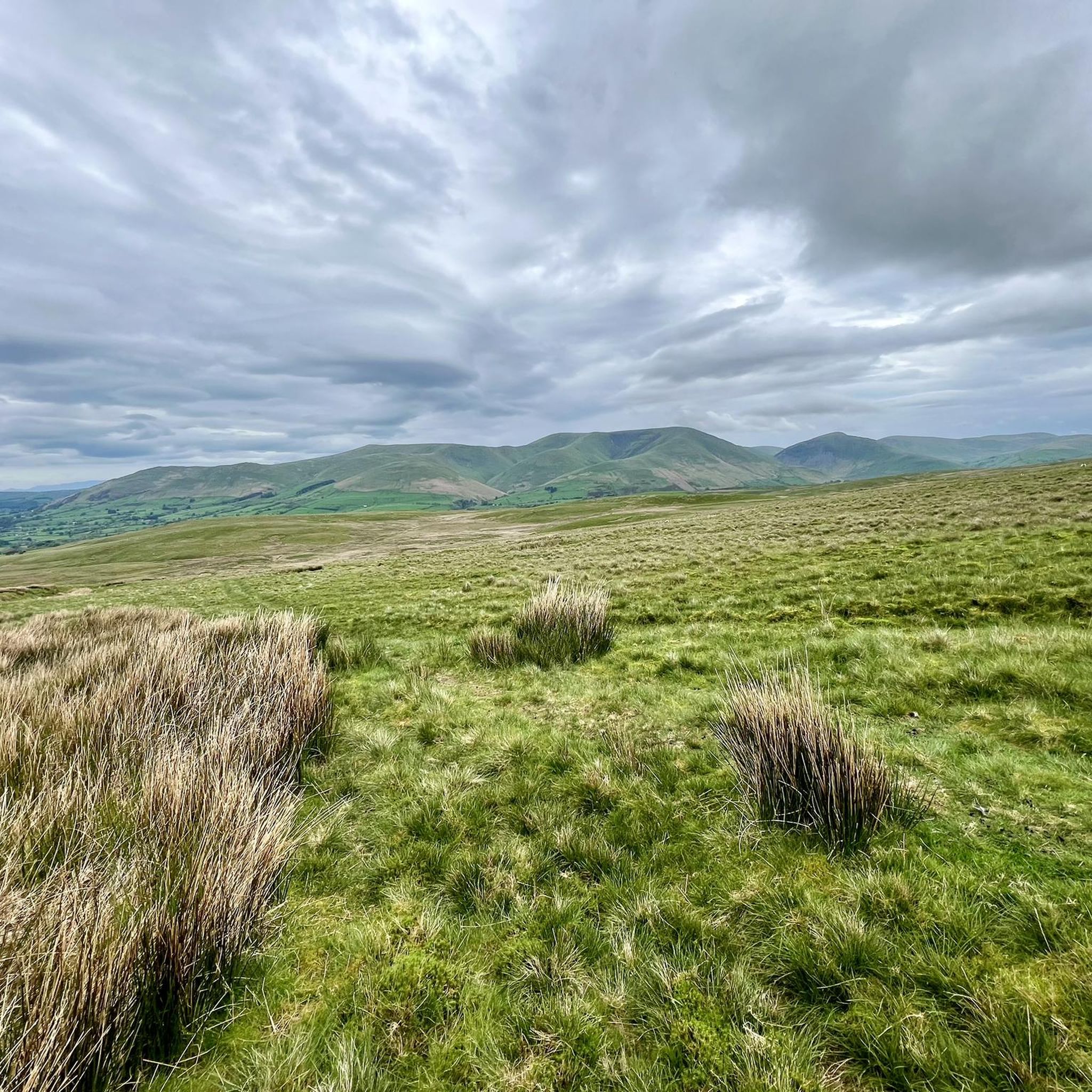
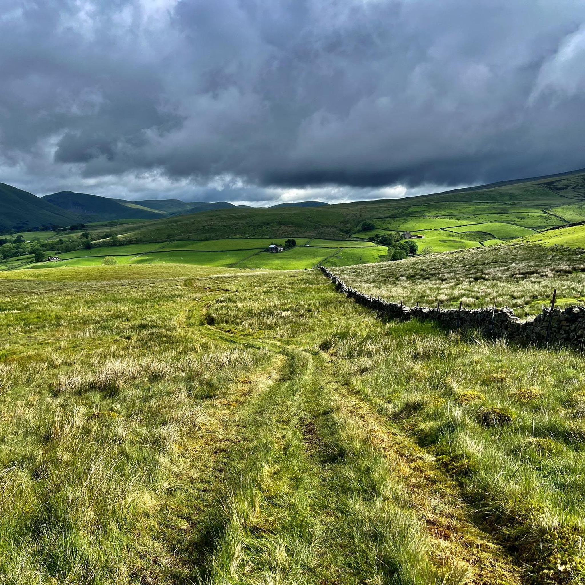
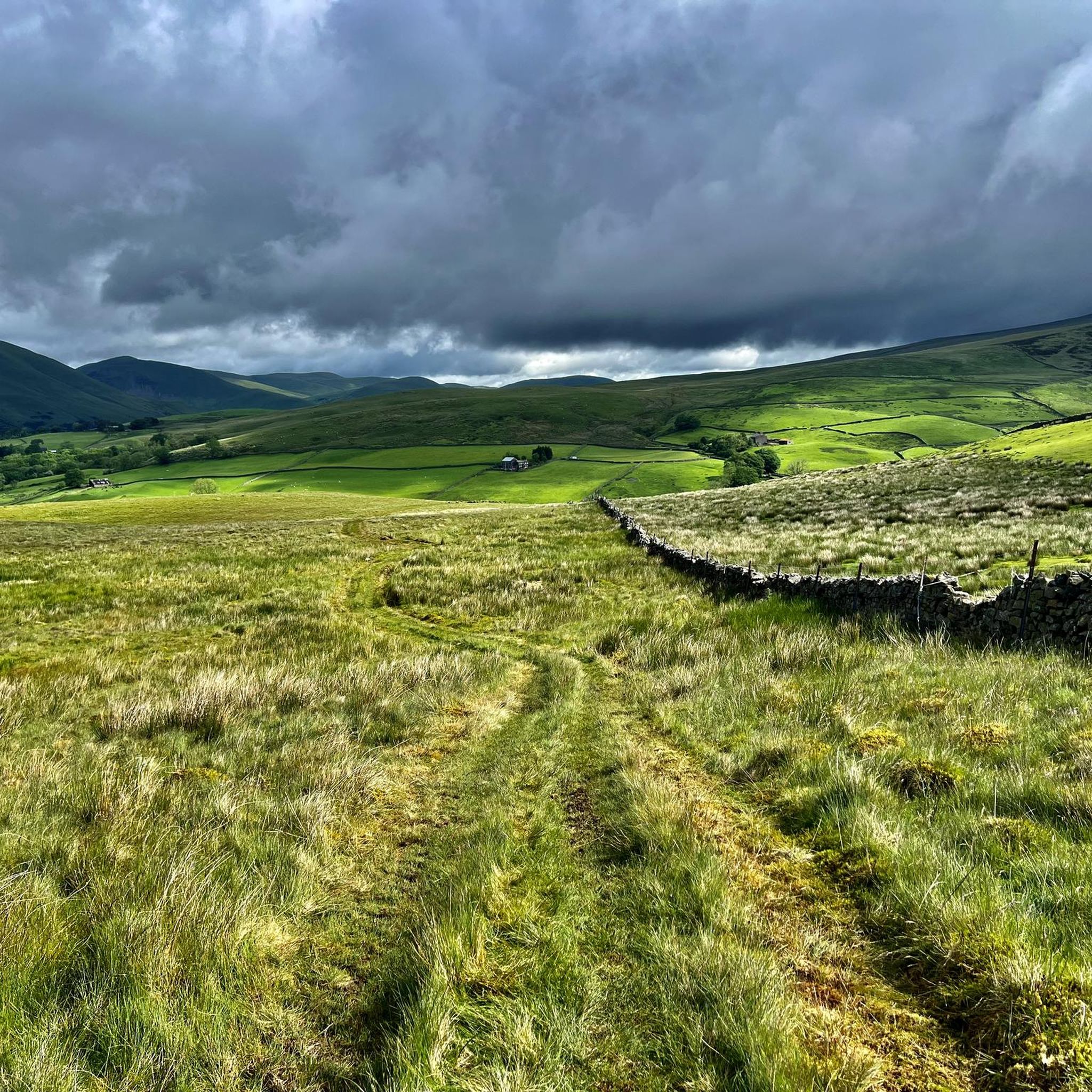
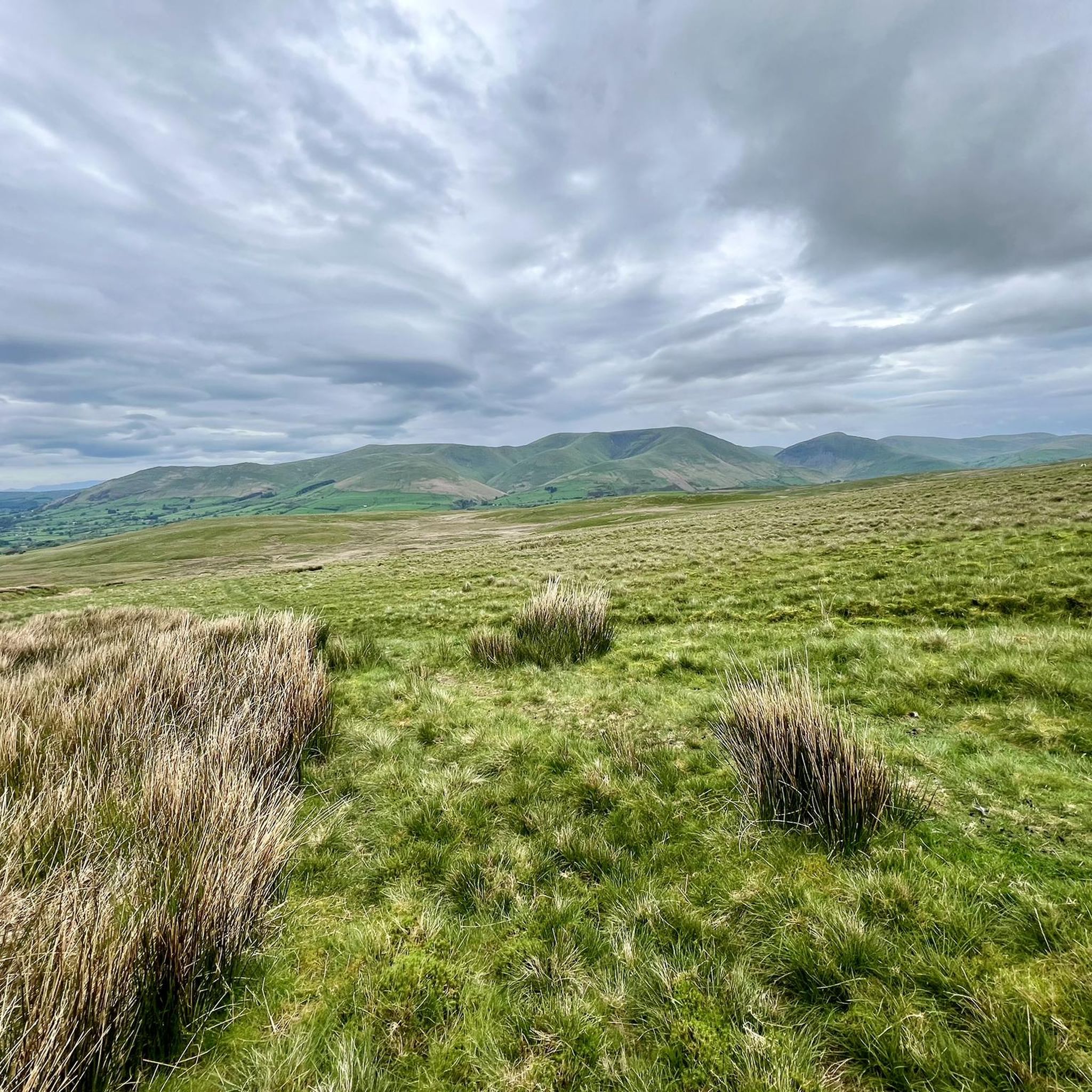
Tips from the Community

Highest point along the Herriot Way. Expect bog and bad weather 😂
0
0

Great Shunner Fell is a good little workout coming up from Thwaite, about 5.5 kilometres one way, so quite a bit shorter than coming up from Hawes. I wish I could say the views are great, but the cloud was in today on my hike. It was a great day out though, and I met some great people on the hill from all over the world.
2
0
Nearby to the true summit is a quaint trig pointed marker with some seating.
1
0
This is a lovely broad summit, and one of the nicest trig pointed tops out there. To come here on a nice day is a lovely experience. The summit is set back quite a bit from the escarpment, so there is not much of a view from there, but there is a nice seat to park your butt on for a while.
0
0


The Calf 676m P383 (2218ft) TP6361 - The Calf S5676 County of Yorkshire Definitive List Yorkshire Dales NP Definitive List County of Yorkshire Trig Pillar
0
0
Calders 675.4m P34.2 (2216ft) County of Yorkshire Definitive List Yorkshire Dales NP Definitive List
0
0

It's the highest peak in the Howgills but the top of the Calf is pretty unexciting - its a rounded summit with motorway paths. The best feature of the hill is hidden away to east - the huge Cautley Spout waterfall. Although some maps don't show a path all the way to the summit from the east, there's a decent path on the ground, and this is by far the most interesting way to climb the hill
0
0
Frequently Asked Questions
What are some of the most popular mountain peaks to visit around Garsdale?
Garsdale is surrounded by several popular peaks offering diverse experiences. Among them, Whernside Summit is the highest of Yorkshire's Three Peaks, known for its extensive views. The Calf Summit (Howgill Fells) offers panoramic views including the Lake District skyline, often ascended past Cautley Spout waterfall. Wild Boar Fell Summit Shelter is highly rated for its magnificent views over the Howgill Fells and surrounding settlements. Another notable peak is Great Shunner Fell Summit, the third highest in the Yorkshire Dales, offering expansive views of the North Pennines and other Dales fells.
What are the highest mountain peaks near Garsdale?
The highest peak in the immediate vicinity of Garsdale is Whernside Summit, standing at 736 meters (2,415 feet). Other significant high points include Great Shunner Fell at 716 meters, Wild Boar Fell at 708 meters, and Tarn Rigg Hill on Baugh Fell at 678 meters. The Calf, the highest point of the Howgill Fells, reaches 676 meters.
Are there any family-friendly mountain walks around Garsdale?
While many peaks in the Garsdale area involve challenging ascents, some routes offer more moderate options. For example, the ascent of Whernside Summit is considered by some to be the easiest of the Yorkshire Three Peaks due to its steadier incline, making it a good starter peak for active families. Always check specific route details for difficulty and length to ensure it suits your family's abilities. You can find various hiking routes, including moderate ones, in the Hiking around Garsdale guide.
What natural features can I expect to see when hiking the peaks around Garsdale?
The Garsdale area, nestled within the Yorkshire Dales National Park, is characterized by open moorland, steep-sided valleys, and stunning fells. You'll encounter features like the impressive 198-meter (650-foot) Cautley Spout waterfall on the ascent to The Calf Summit, and the extensive plateau summit of Baugh Fell with its rolling humps and several tarns. The Clough River, which flows through Garsdale, also rises on the northeastern slopes of Baugh Fell.
What is the terrain like in the Howgill Fells, including peaks like The Calf and Calders?
The Howgill Fells, including The Calf and Calders Summit, are known for their distinctive green, rounded, and often featureless terrain. This makes them an excellent area for practicing navigation using map contours. They are often described as a 'herd of sleeping elephants' due to their steep, rounded flanks, offering a unique walking experience.
What outdoor activities can I do near the mountain peaks of Garsdale?
Beyond peak bagging, the Garsdale area offers a variety of outdoor activities. You can explore numerous hiking trails, including challenging loops like the Swarth Fell & Wild Boar Fell circuit. There are also cycling routes, such as those around Dent Village, and mountain biking trails like 'The Howgill Fells and Bowderdale loop'. For detailed routes and guides, check out Hiking around Garsdale, Cycling around Garsdale, and MTB Trails around Garsdale.
What is the best time to visit Garsdale for hiking the mountain peaks?
The Garsdale area is generally best visited during the warmer, drier months from late spring to early autumn (May to October) for hiking. During this period, paths are typically clearer, and the weather is more predictable, offering the best chance for panoramic views. However, the region's beauty can be appreciated year-round, with winter offering a more challenging and solitary experience for experienced hikers.
Are there any less crowded mountain peaks around Garsdale for a more solitary experience?
Yes, if you're seeking solitude, Baugh Fell (Tarn Rigg Hill) is an excellent choice. Its remote nature and lack of marked paths to the summit promise a tranquil exploration. The extensive plateau offers a sense of wildness and expansive views, making it ideal for those who prefer a quieter hike away from the more popular routes.
What do visitors enjoy most about the mountain peaks around Garsdale?
Visitors consistently praise the breathtaking panoramic views from the summits, with many considering Wild Boar Fell to offer some of the best in the Dales. The sense of achievement after conquering peaks like Whernside Summit is also a highlight. The unique, rounded landscape of the Howgill Fells, often described as 'sleeping elephants,' provides a distinctive and memorable hiking experience.
Is public transport available to access hiking trails in Garsdale?
Yes, Garsdale is accessible via the scenic Settle to Carlisle railway line, which passes through the area. Garsdale Head, near Garsdale Station, serves as a gateway to many walking routes, making it possible to access the peaks even without a car. This allows for convenient public transport options for hikers.
Can I bring my dog on the trails around Garsdale's mountain peaks?
Many trails in the Yorkshire Dales National Park, including those around Garsdale, are dog-friendly. However, it's crucial to keep dogs under close control, especially in areas with livestock or ground-nesting birds. Always follow the Countryside Code, which advises keeping dogs on a lead around farm animals. Check specific route details for any restrictions.
Are there any circular walks that include Garsdale Pike?
While specific details for a dedicated circular walk for Garsdale Pike are less documented, its presence within the Garsdale area means it can often be incorporated into longer routes exploring the surrounding fells and moorland. You can find various circular walks in the region by exploring the Hiking around Garsdale guide, which may offer options to include this peak.
Most popular attractions around Garsdale

Get inspired with the komoot mobile app


Explore more
See even more amazing summits around Garsdale with these guides:
