The best running trails around Firbank
4.8
(105)
5,771
runners
223
runs
Jogging around Firbank offers a diverse landscape for runners, characterized by the rolling fells of the Howgills and scenic river valleys. The region features challenging ascents to prominent summits and more gentle paths alongside waterways. Terrain varies from open moorland to wooded sections, providing a range of running experiences. This area is well-suited for those seeking both demanding trail runs and more relaxed, picturesque routes.
Best jogging routes around Firbank
- The most popular jogging route is The Calf Summit loop…
Last updated: August 18, 2026
25
runners
Hard run. Very good fitness required. Mostly paved surfaces. Suitable for all skill levels.
15
runners
17.0km
02:25
740m
740m
Hard run. Very good fitness required. Mostly paved surfaces. Suitable for all skill levels.

Sign up for free
5.0
(1)
15
runners
21.9km
03:13
1,100m
1,100m
Hard run. Very good fitness required. Mostly paved surfaces. Suitable for all skill levels.
14
runners
Hard run. Very good fitness required. Mostly paved surfaces. Suitable for all skill levels.
15
runners
Moderate run. Good fitness required. Mostly paved surfaces. Suitable for all skill levels.
Get access to more routes and recommendations from other explorers.
Sign up for free
Already have an account?
Our route recommendations are based on thousands of hikes, rides, and runs completed by other people on komoot.
Start today with a free account
Your next adventure awaits.
Login or Signup

Tips from the Community


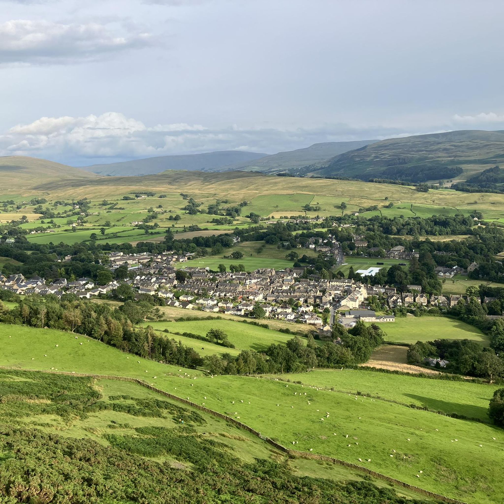
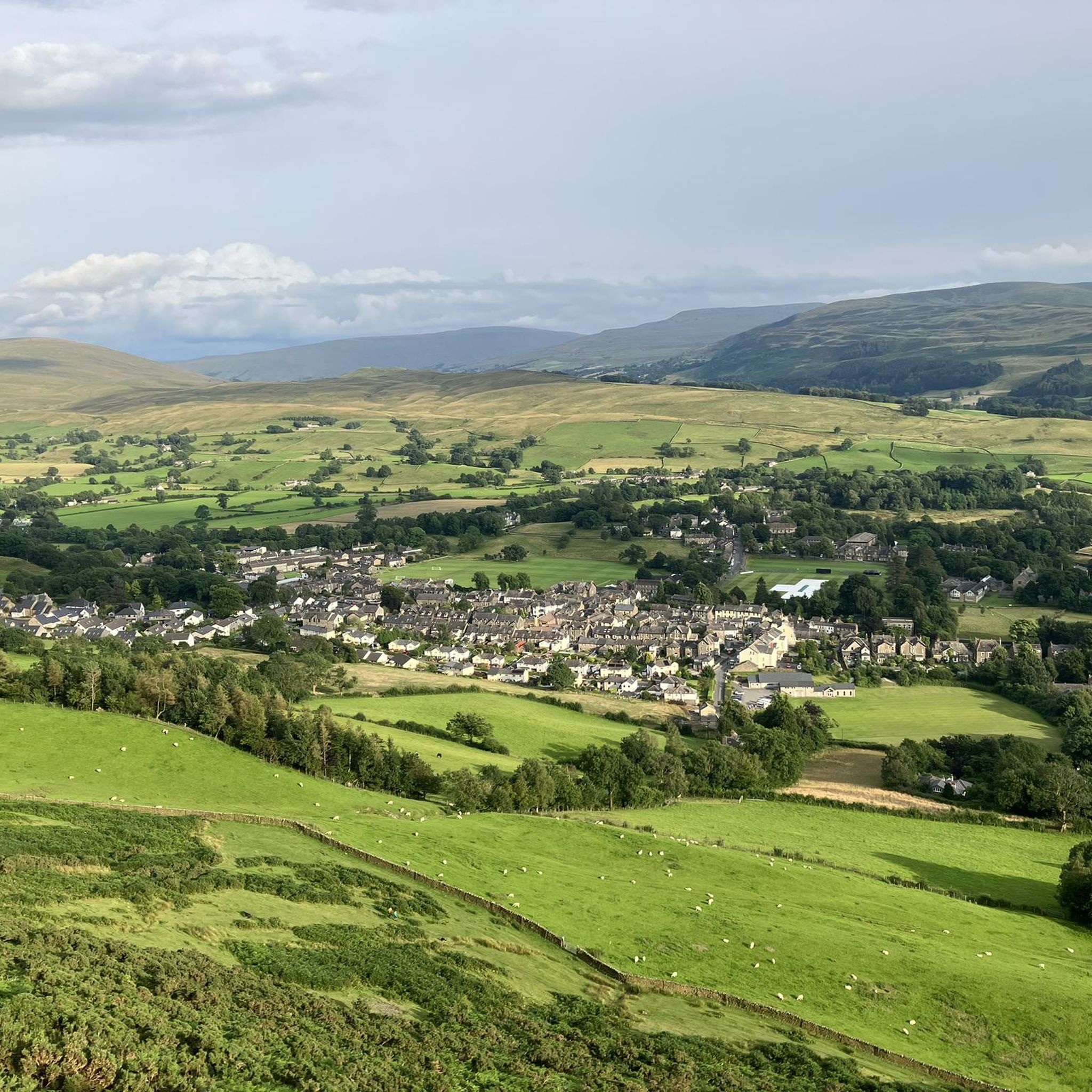
Arant haw is very steep .it seems neverending but it's worth the graft for best views in the sedbergh area
0
0

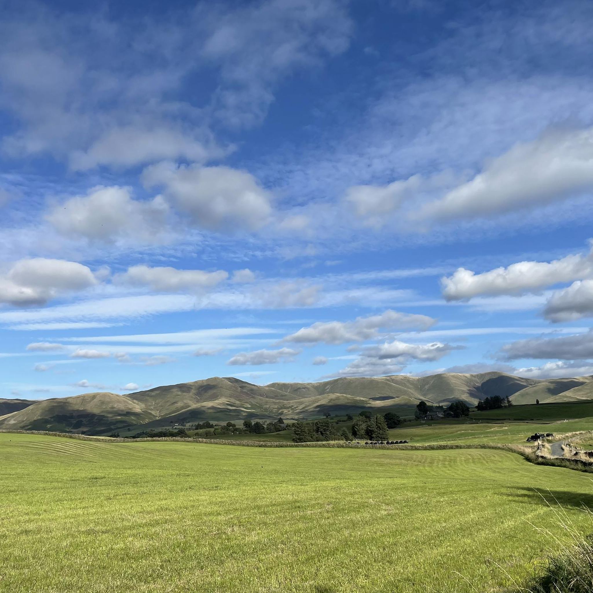
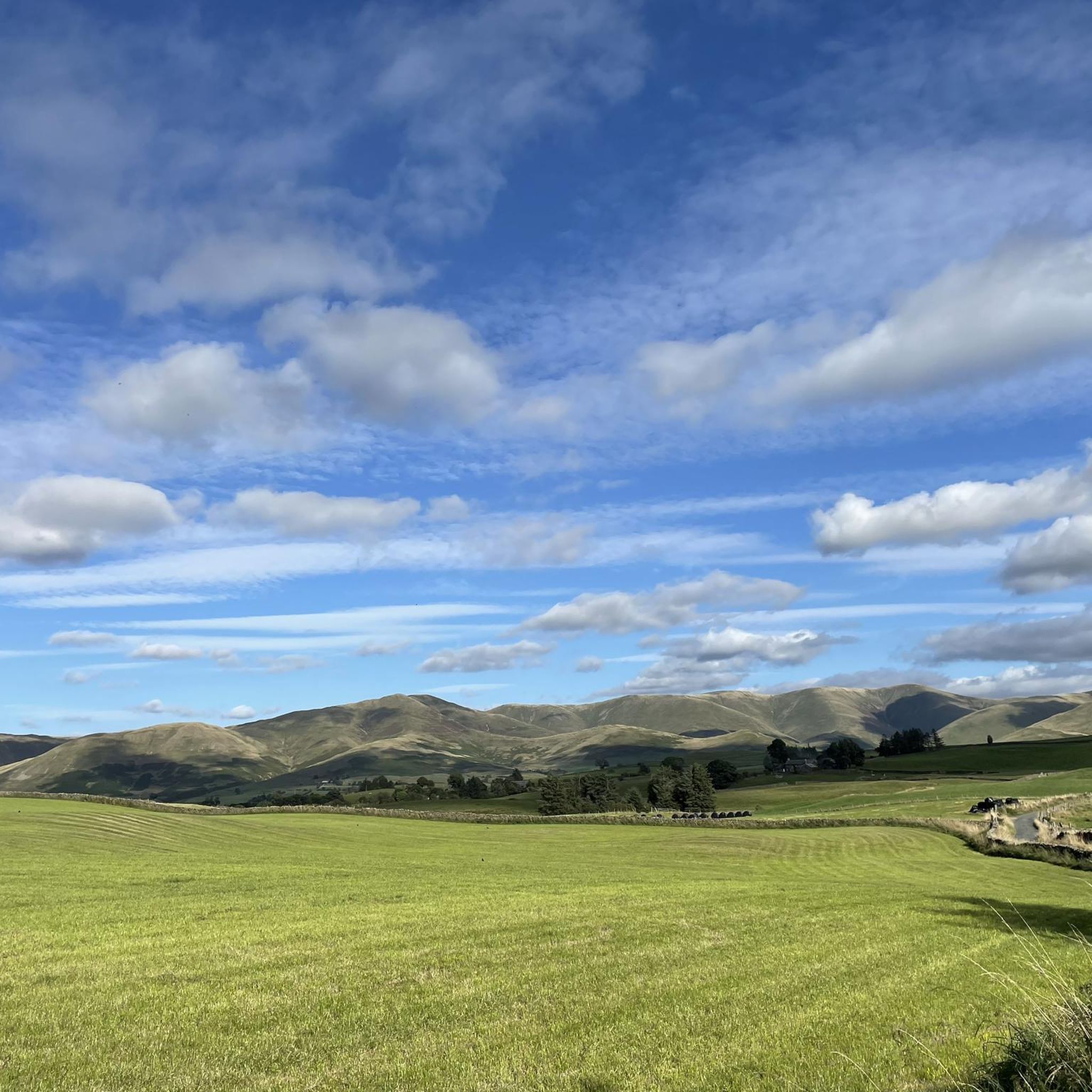
Nice track below Harant Haw, It goes trought grass fields amongst an wide open area. Super nice strectch.
0
0

Bush Howe South Top 611m P3.5 (2004ft) County of Yorkshire Definitive List Yorkshire Dales NP Definitive List
0
0
Frequently Asked Questions
How many running routes are available in Firbank?
Firbank offers a wide selection of running routes, with over 220 different trails to explore. This includes a mix of easy, moderate, and difficult options to suit various fitness levels.
Are there easy running trails suitable for beginners in Firbank?
Yes, Firbank has several easy running trails perfect for beginners. For a more relaxed experience, consider routes that stick to the valley floors. There are 27 easy routes available, offering gentle paths through picturesque landscapes.
What are some longer distance running options around Firbank?
For those seeking a longer challenge, Firbank boasts several demanding routes. The The Calf Summit loop from Sedbergh School is a difficult 13.5-mile (21.8 km) trail with significant elevation gain. Another excellent long-distance option is the Cautley Spout Waterfall – Calders Summit loop from Sedbergh School, covering 12.0 miles (19.3 km) with a challenging climb.
Can I find circular running routes in Firbank?
Many of the running routes in Firbank are designed as loops, allowing you to start and finish at the same point. Examples include the popular The Calf Summit loop from Howgills Hideaway and the shorter Millthrop Bridge – St Andrew's Church, Dent loop from Sedbergh School.
Are there any scenic spots or landmarks to see while jogging in Firbank?
Absolutely! Firbank's routes often pass through stunning natural scenery and past notable landmarks. You can run past the impressive The Calf Summit (Howgill Fells), experience the dramatic Barbondale Valley, or enjoy views from Calders Summit. The Cautley Spout Waterfall – Calders Summit loop specifically features a prominent waterfall.
What is the general difficulty level of running trails in Firbank?
Firbank offers a varied range of difficulties. While there are 27 easy routes, the majority of trails are moderate (124 routes) or difficult (76 routes). Many routes involve significant elevation changes as they traverse the fells and summits of the Howgills, making them ideal for trail runners seeking a challenge.
Are the running routes in Firbank suitable for families?
For families, it's best to choose the easier, shorter routes, particularly those that stick to river valleys or less steep terrain. The Millthrop Bridge – St Andrew's Church, Dent loop is a moderate 3.3-mile (5.3 km) trail that could be suitable for active families, offering a pleasant run through local landmarks without extreme elevation.
Can I bring my dog on the running trails in Firbank?
Many trails in the Firbank area are dog-friendly, especially those on public footpaths and bridleways. However, as much of the region is agricultural land, it's crucial to keep dogs on a lead, particularly near livestock, and to follow the Countryside Code. Always check local signage for specific restrictions.
What do other runners say about the trails in Firbank?
The running trails in Firbank are highly regarded by the komoot community, holding an impressive average rating of 4.8 stars from over 80 reviews. Runners frequently praise the diverse terrain, the challenging ascents to summits, and the stunning views across the fells and valleys.
What kind of terrain can I expect on Firbank's running trails?
You can expect a diverse range of terrain. Routes often combine open moorland, grassy fells, and wooded sections. Paths can vary from well-trodden tracks to more rugged, rocky ascents, especially on routes leading to summits like The Calf or Calders. Valley runs typically offer smoother, riverside paths.
How can I access the running trails in Firbank, particularly regarding parking?
Access to trails in Firbank often involves starting points near villages like Sedbergh or from designated lay-bys and small car parks in the surrounding countryside. For routes starting from specific locations like 'Howgills Hideaway' or 'Sedbergh School', parking facilities may be available nearby, though it's always advisable to check local parking regulations and availability beforehand.
Are there any routes that feature waterfalls in the Firbank area?
Yes, the Firbank area is home to notable natural features, including waterfalls. The Cautley Spout Waterfall – Calders Summit loop from Sedbergh School specifically takes you past Cautley Spout, one of England's highest cascades, offering a spectacular sight during your run.
Most popular attractions around Firbank

Get inspired with the komoot mobile app


Explore more
Browse the best Running Trails & Routes in other regions.
