The 15 Most Amazing Peaks around Musgrave
Mountain peaks around Musgrave are characterized by ancient granite and gneiss formations, many exceeding 1,100 meters in height. This region, spanning parts of South Australia and the Northern Territory, is a significant geological and cultural landscape. It features a unique desert environment and is home to diverse plant and animal species adapted to arid conditions. The area holds profound cultural and spiritual importance for the Traditional Owners.
Best mountain peaks around Musgrave
- The most popular mountain peaks is Nine Standards…
Last updated: July 3, 2026
Nine Standards
Highlight • Monument
Tip by

Mickle Fell Summit Cairn
Highlight • Viewpoint
Tip by

Sign up now to discover places like this
Get recommendations on the best single tracks, peaks, & plenty of other exciting outdoor places.
Sign up for free
Murton Pike
Highlight • Viewpoint
Tip by

Top of Range Road at Murton Pike
Highlight • Trail
Tip by

Peeping Hill
Highlight • Summit
Tip by
Sign up for free to discover even more peaks around Musgrave.
Sign up for free
Already have an account?
Start today with a free account
Your next adventure awaits.
Login or Signup
Tips from the Community

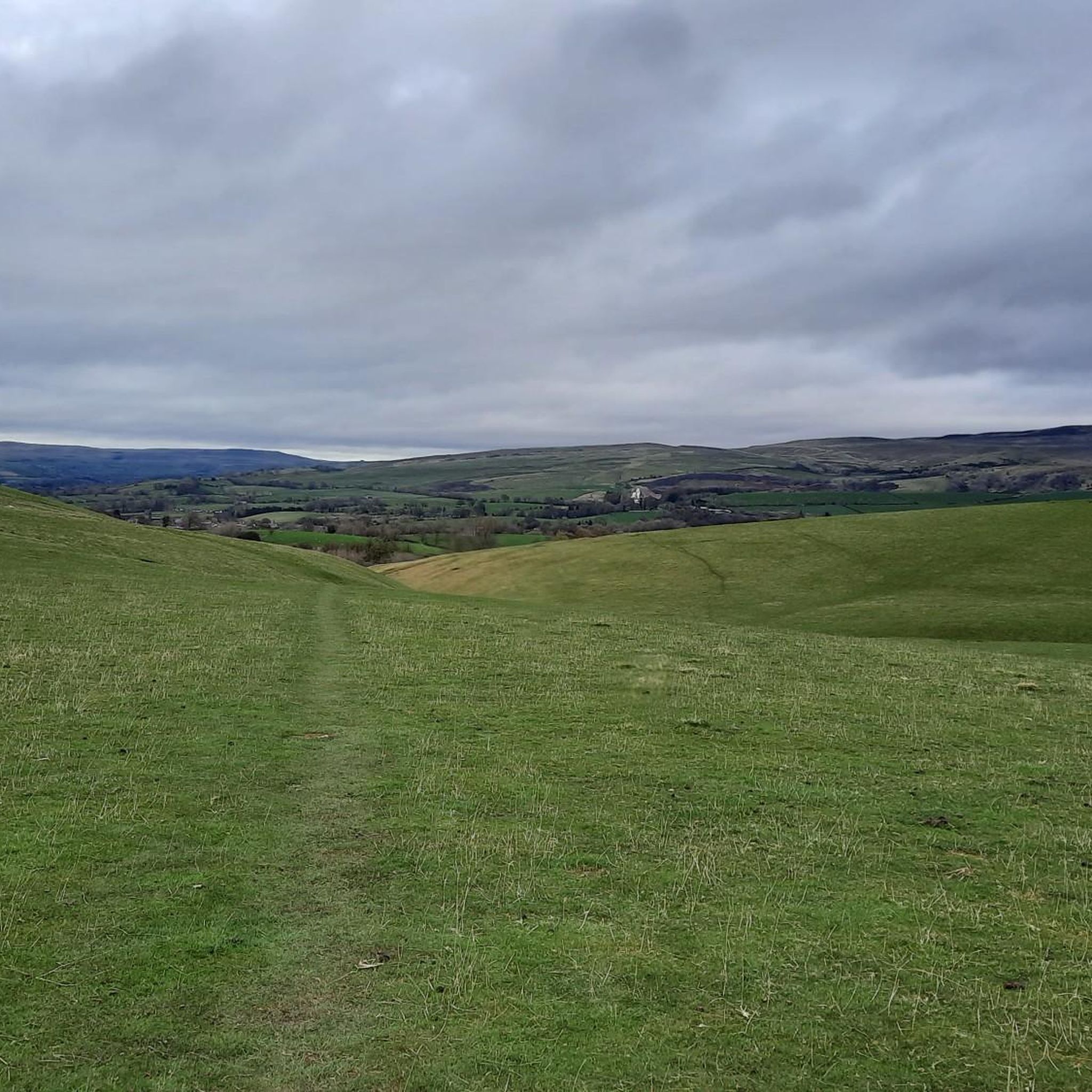
Peeping Hill Cairn is not that far from the spectacular glacial valley of High Cup Nick. It is a beautiful spot and a lovely scenic waypoint. It is often visited along with Dufton Pike. There is a bit of a lung-busting climb to get to it, but the track levels out just after, and ahead of you begins the beautiful vistas afforded by the early sight of High Cup Nick.
0
0
This is a lovely small peak to do; at 594 metres, it is not that high, but it climbs steeply from the car park on the outskirts of Murton. You can actually make a nice short loop by going up Murton Beck, which is quite gentle, and then come in from the north. There is the whitest of whitewashed trig point on top, with great views out towards Mell Fell to the SE and distant panoramas of the Lake District.
0
0
Mickle Fell is the highest peak in Yorkshire, depending on which list you look at. It is an imposing bulk of a mountain and difficult to get to as a large chunk of it is in the Warcop military training range and access is limited. Normally, 10–12 weekends are set aside annually by the military to allow hikers to walk one of two routes to its summit. There are two routes: the Northern Route and the Southern Route, and both require permits. I did the Southern Route, which is a linear route following a fence for most of the way. The middle section of this route is difficult and boggy. For further information, scheduled hiking days, and contact numbers, see the links below. Access Days — https://www.gov.uk/government/publications/warcop-access-times General Information — https://assets.publishing.service.gov.uk/media/5a79714ce5274a2acd18cdf4/dte_info_leaflet_northwest.pdf Application procedure — https://assets.publishing.service.gov.uk/media/66339f8e4d8bb7378fb6c172/WTA_Mickle_Fell_Access_Permit_Request_Procedures.pdf
3
0
This is actually the location of the topographic cairn, which is a really good view point out over the surrounding Dales, and of the Nine Standards, which sit nearby to the north within a few hundred metres. A bit further to the south is the actual summit point of Nine Standards Rigg itself, which is marked by a trig point.
1
1


This conical hill is located right on the edge of the North Pennines AONB and serves as a great spot to climb if you're looking for a quick ascent or a shorter family route. Despite its low altitude, it provides excellent panoramic views and if you're seeking a longer hike, you can link it up with High Cup Nick!
2
0

The climb to this top is easy to cycle on gravel, but steep in places. As a descent it is fast, but you will also have to brake a lot. Once at the top, the path quickly changes into a boggy grass path towards High Cup Nick, among others. From there things cycle a lot less well.
1
0

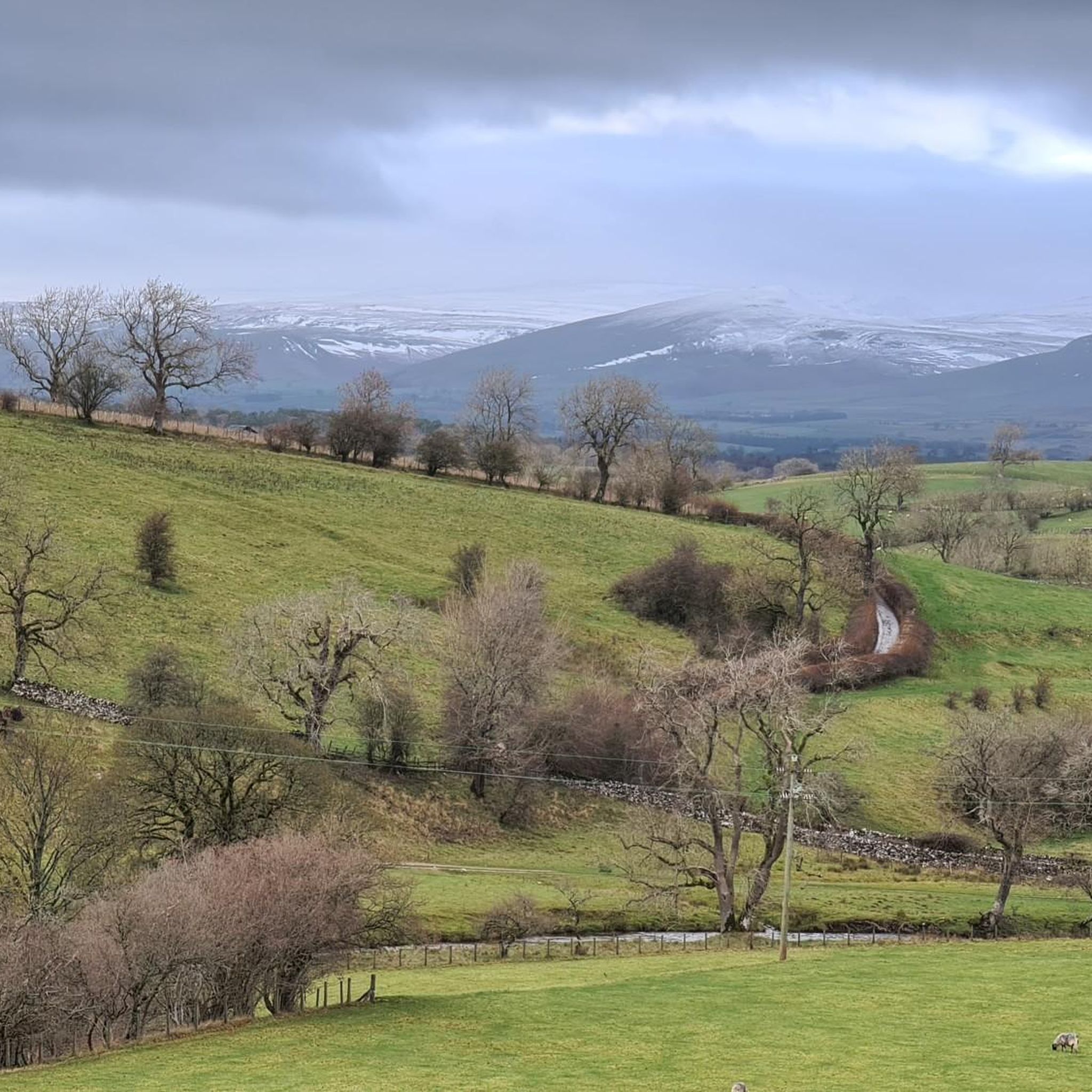
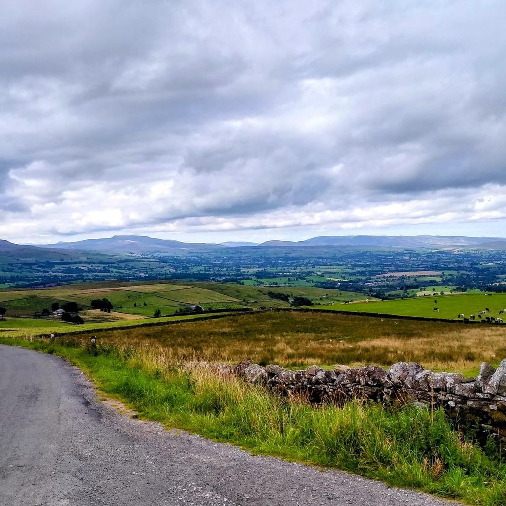
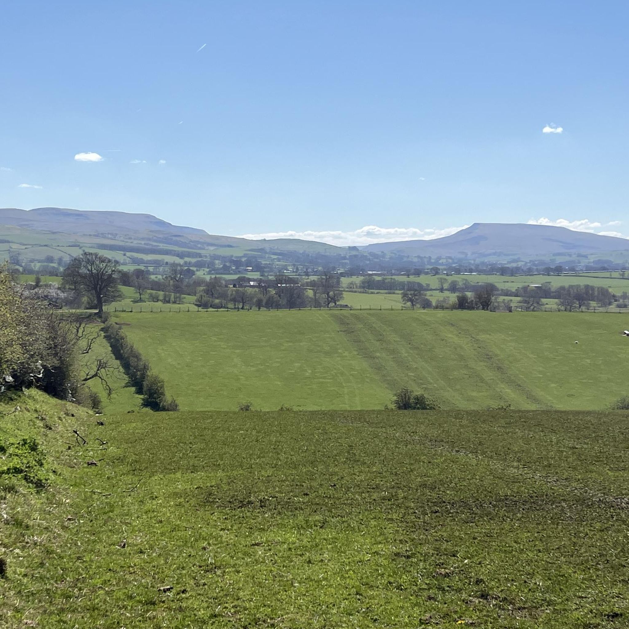
from up hear you can see across the Eden valley and is well worth the ride up. and the decent is the best part as that is why we climb hills for the downhill. just mind the sheep.
1
0
Frequently Asked Questions
What is the highest mountain peak in the Musgrave Ranges?
The highest peak in the Musgrave Ranges, and indeed in South Australia, is Mount Woodroffe, also known as Ngarutjaranya. It reaches an elevation of 1,435 meters (4,708 feet).
Are there other notable peaks in the Musgrave Ranges besides Mount Woodroffe?
Yes, the Musgrave Ranges feature many peaks exceeding 1,100 meters. Other significant peaks include Mount Morris (about 1,251 meters), Ilanyitjanya Hills (1,272 meters), and Mount Spec (1,260 meters). Other named peaks include Peak 1240 m, Mount Whinham, Mount Everard, McNamara Hill, and Mount Woodward.
What is the cultural significance of the Musgrave Ranges and Mount Woodroffe?
The Musgrave Ranges, especially Mount Woodroffe (Ngarutjaranya), hold profound cultural and spiritual importance for the Pitjantjatjara people, the Traditional Owners of the land. Mount Woodroffe is embodied in their ancient stories as the mythological creature Ngintaka, and the ranges have traditionally been a place of initiation.
Are permits required to visit mountain peaks in the Musgrave Ranges?
Yes, visiting Mount Woodroffe and other areas within the Anangu Pitjantjatjara Yankunytjatjara (APY) Lands requires special permits. These permits are rarely issued to individual travelers due to the sacred status of the land, and climbing Mount Woodroffe is currently prohibited. Access is typically restricted to organized tours with approval from the APY Executive.
What kind of natural features can I expect to see in the Musgrave Ranges?
The Musgrave Ranges are characterized by ancient granite and gneiss formations, showcasing a geological history spanning over a billion years. You'll see rugged, bare rock surfaces, and after infrequent rainstorms, the landscape can feature giant cataracts from gullies and basins scoring the peaks. The region also supports unique biodiversity adapted to arid conditions.
What wildlife can be found in the Musgrave Ranges?
The Musgrave Ranges provide a refuge for many rare plant and animal species adapted to the arid conditions. This includes threatened native plant species, the western bowerbird, and the critically endangered black-footed rock-wallaby.
What is the best time to visit the Musgrave Ranges?
Given the arid climate, the cooler months (typically autumn to spring, roughly April to October) would generally be more comfortable for visiting. However, access restrictions and permit requirements are the primary considerations for planning any trip.
What are the geological characteristics of the Musgrave Ranges?
The Musgrave Ranges are primarily composed of granite and gneiss, showcasing ancient geological formations that have been shaped over more than a billion years. These ranges rise significantly, approximately 700 to 800 meters, from the surrounding plains.
Can I see distant landmarks like Uluru from the Musgrave Ranges?
From certain vantage points within the Musgrave Ranges, particularly higher elevations like Mount Woodroffe, it is possible to catch breathtaking views of the rugged desert landscape, including distant Uluru and Kata Tjuta, on clear days.
What should I know about respecting the local culture when considering a visit?
Respect for Aboriginal traditions and land ownership is paramount when considering any visit to the Musgrave Ranges. The area is deeply sacred to the Pitjantjatjara people, and all access is subject to their approval and strict permit requirements. Understanding and adhering to these cultural protocols is essential.
Are there any easy mountain hikes or family-friendly walks in the Musgrave Ranges?
Due to the significant access restrictions and the rugged, remote nature of the Musgrave Ranges, general easy mountain hikes or family-friendly walks are not readily available or permitted for individual travelers. Any potential activities would be part of highly regulated, approved tours, focusing on cultural experience rather than casual hiking.
What outdoor activities can I do near the Musgrave region?
While direct access to the peaks in the Musgrave Ranges is highly restricted, the broader region offers opportunities for outdoor activities. For hiking, you can explore routes like the Nine Standards – Hartley settlement loop or easier options like the Smardale Gill Viaduct – Smardale Bridge loop. For running, there are trails such as the Warcop Old Bridge loop.
What do visitors enjoy most about the mountain peaks around Musgrave?
Visitors appreciate the unique geological formations and the profound sense of history and culture embedded in the landscape. The opportunity to witness ancient granite hills rising from the plains, and the potential for panoramic views, are highly valued. The Nine Standards, for example, are iconic for their mystery and superb views.
Most popular attractions around Musgrave

Get inspired with the komoot mobile app


Explore more
See even more amazing summits around Musgrave with these guides:
