The best running trails around Martindale
5.0
(1)
515
runners
17
runs
Jogging routes around Martindale are characterized by varied terrain, including significant elevation changes and expansive views across the Lake District fells. The region offers a mix of challenging mountain paths and high-level trails. Joggers can expect to encounter open moorland, rocky ascents, and descents through valleys.
Best jogging routes around Martindale
- The most popular jogging route is Thornthwaite Crag Beacon – High Street summit loop from Martindale, a 41.8 miles (67.3 km) trail that takes 9 hours 11 minutes…
Last updated: August 1, 2026
161
runners
67.3km
09:12
2,480m
2,470m
Hard run. Very good fitness required. Sure-footedness, sturdy shoes and alpine experience required.
71
runners
Hard run. Very good fitness required. Sure-footedness, sturdy shoes and alpine experience required.

Sign up for free
35
runners
22.3km
03:15
940m
950m
Hard run. Very good fitness required. Mostly paved surfaces. Suitable for all skill levels.
59
runners
12.6km
01:49
610m
610m
Hard run. Very good fitness required. Sure-footedness, sturdy shoes and alpine experience required.
5.0
(1)
25
runners
15.1km
02:21
870m
870m
Hard run. Very good fitness required. Sure-footedness, sturdy shoes and alpine experience required.
Get access to more routes and recommendations from other explorers.
Sign up for free
Already have an account?
Our route recommendations are based on thousands of hikes, rides, and runs completed by other people on komoot.
Start today with a free account
Your next adventure awaits.
Login or Signup
Popular around Martindale
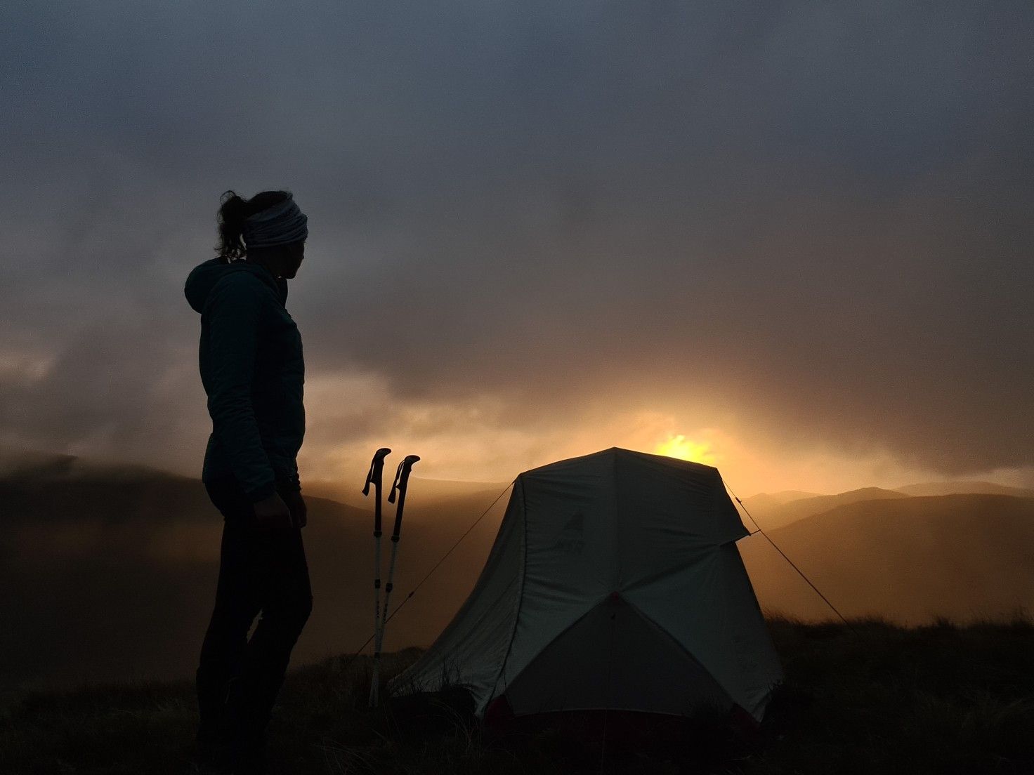
#WalkHome2020 — Sheffield to Cockermouth in 15 days
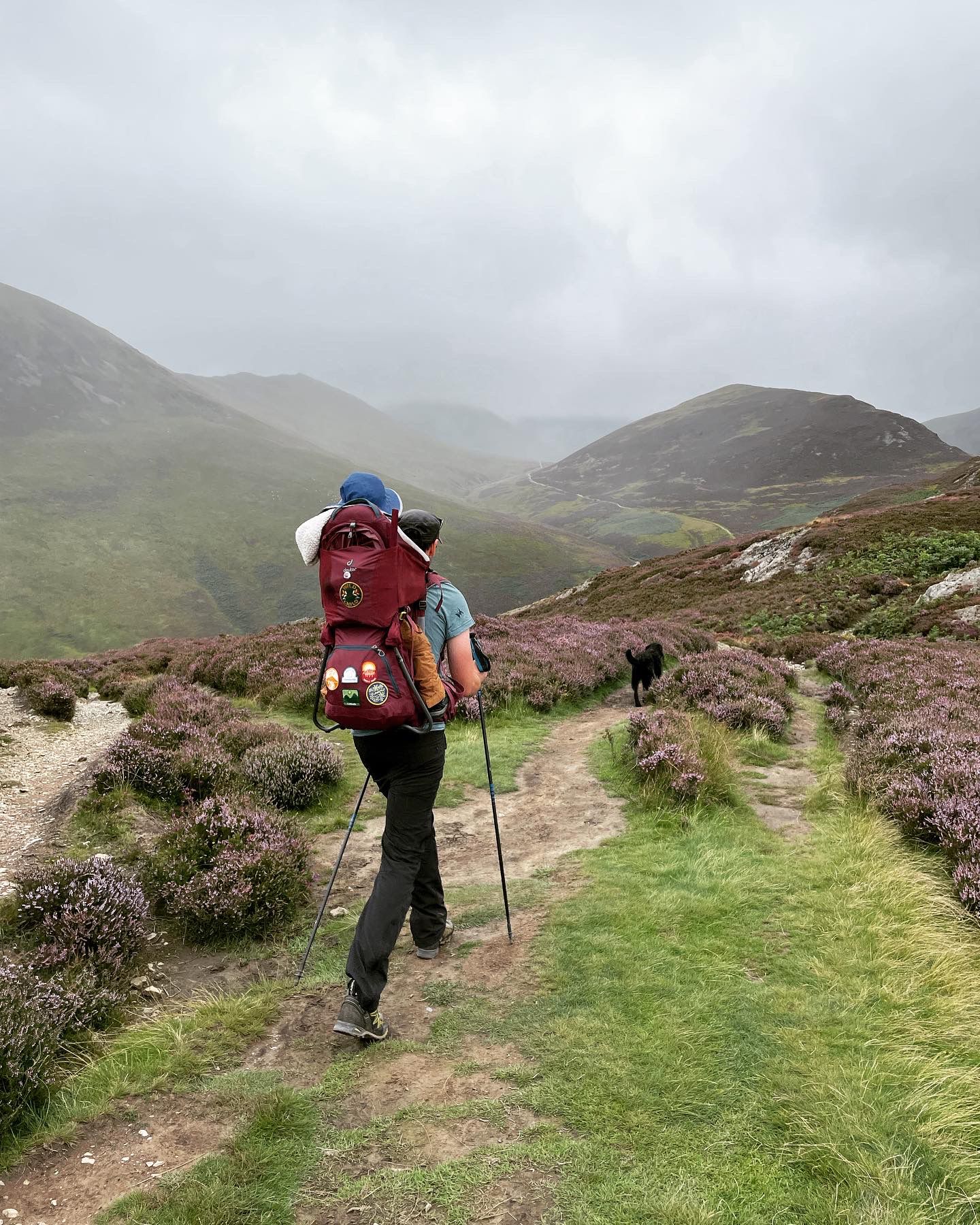
Fells and lakes for little explorers — Family walks in the Lake District
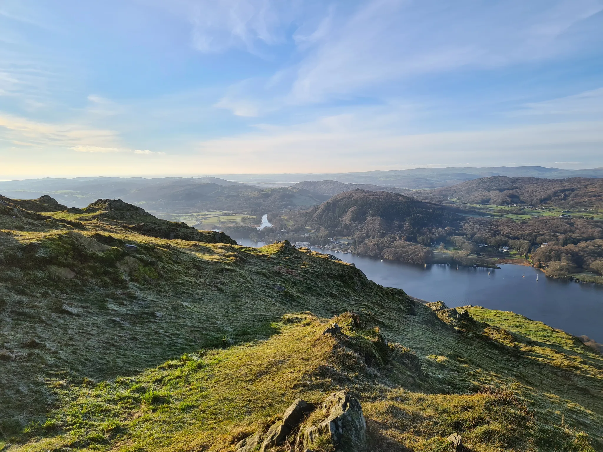
Beautiful beginner hikes in the Eastern Lake District
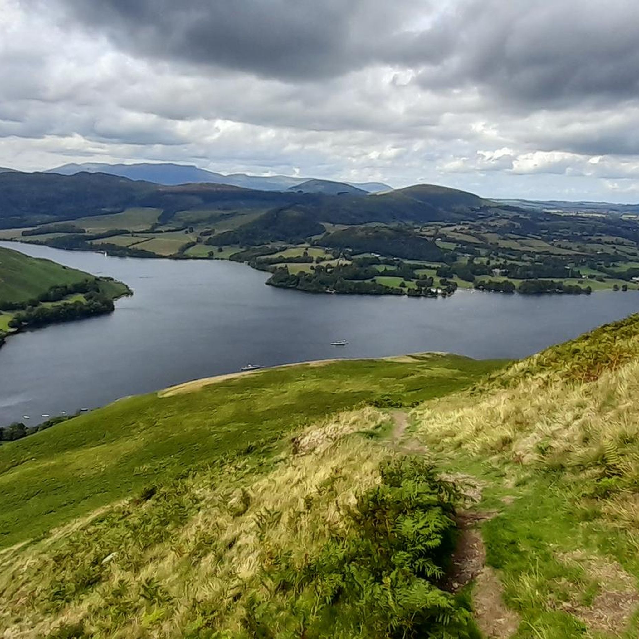
Hiking around Martindale
MTB Trails around Martindale
Road Cycling Routes around Martindale
Cycling around Martindale
Gravel biking around Martindale
Mountain Hikes around Martindale
Other adventures around Martindale


Tips from the Community

A bit of a steep hill, the ascent is a bit of a struggle. Wonderful views.
2
0

We did the loop from Hartsop over The Knott, High Street, Thornthwaite Crag and back through the Pasture Beck valley. (12 km)
0
0
A Roman road from a fort near Penrith led over the summit to a fort near Ambleside. The mountain, with the exception of the eastern flank, has gently sloping sides and a flat summit plateau, which is why it seemed more advantageous to the Romans to lead the road over the mountain rather than through the then heavily wooded valleys. The flat summit was also the venue for an annual summer festival on July 12th in the 18th and 19th centuries, where horse races also took place. That is why the mountain is also known as Racecourse Hill. The last of these festivals was held on July 12, 1835.
0
0

Loadpot Hill, at 671 metres, and its trig point occupy an expansive, flat-topped fell between Arthur's Pike and Wether Hill. It has commanding but distant 360-degree views of the surrounding fells from its barren, flat top that you know must be a nightmare during high winds in winter. The trig point is not the actual summit; the summit is nearby but unmarked.
0
0
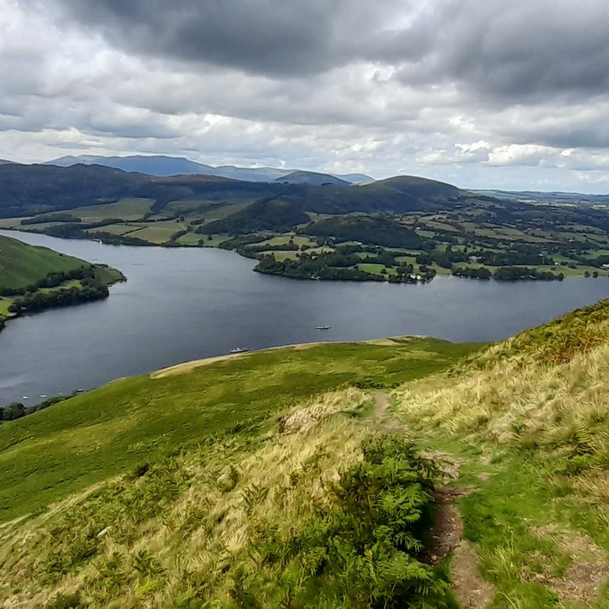
Arthur's Pike is a 533-metre (1,749-foot) Wainwright summit that sits just above Bonscale Pike, and both have commanding views out over Ullswater. This is a super nice spot to have a break if you are heading out on the leg to Loadpot Hill and beyond.
0
0
Thornthwaite Crag is just the coolest Wainwright. At 784 m / 2,572 ft, it is a prominent summit in its own right, but with its massive 14-foot (4.3-metre) high stone beacon, it serves as a navigation hub connecting several major valleys and ridges. It is unmistakable for miles around and makes a good aiming point for runners and hikers alike.
0
0
The trig-pointed summit of High Street is a broad, flat plateau rather than a dramatic, sharp peak or cliff edge as is common in the Lake District. It is a super good place for a rest break, as there are nearby stone walls for a windbreak. While barren, it has good views of the surrounding fells.
0
0
The trig-pointed summit of High Street is a broad, flat plateau rather than a dramatic, sharp peak or cliff edge as is common in the Lake District. It is a super good place for a rest break, as there are nearby stone walls for a windbreak. While barren, it has good views of the surrounding fells.
0
0
Frequently Asked Questions
How many running routes are available around Martindale?
There are over 15 dedicated running routes around Martindale, offering a variety of challenging mountain paths and high-level trails through the Lake District fells. Most of these are considered difficult, catering to experienced runners.
What kind of terrain can I expect on Martindale's jogging trails?
Jogging routes around Martindale feature varied terrain, including significant elevation changes, open moorland, rocky ascents, and descents through deep valleys. You'll encounter high fells and expansive moorland, characteristic of the Lake District.
Are there any easy running routes in Martindale for beginners?
The running routes in Martindale are predominantly challenging, with 16 out of 17 routes classified as difficult. There is one moderate route, but no easy routes are listed, making the area more suitable for experienced runners seeking demanding trails.
What are some notable natural features or landmarks I can see while running near Martindale?
Martindale's running routes offer stunning views and access to significant natural landmarks. You can encounter high summits like Helvellyn Summit, Gowbarrow Fell summit, and Kidsty Pike. Many routes also provide panoramic views over Ullswater.
Are there any circular running routes in the Martindale area?
Yes, Martindale offers several circular running routes. For instance, the View over Ullswater – St Peter's Church, Martindale loop from Martindale is a difficult 15.5-mile path with panoramic views. Another option is the Birkfell Earth loop from Martindale, a 7.8-mile trail through mountainous terrain.
What do other runners say about the trails in Martindale?
The running routes in Martindale are highly rated by the komoot community, with an average score of 4.0 stars from 2 reviews. Over 500 runners have used komoot to explore Martindale's varied terrain, often praising the challenging nature and expansive views of the Lake District fells.
Which running route offers the most significant elevation gain?
The route with the most significant elevation gain is the Thornthwaite Crag Beacon – High Street summit loop from Martindale. This difficult 41.8-mile trail features an impressive 2476 meters of ascent, leading to high summits and taking over 9 hours to complete.
Are there any running routes that offer views of Ullswater?
Yes, the View over Ullswater – St Peter's Church, Martindale loop from Martindale is specifically designed to offer panoramic views over Ullswater. This difficult 15.5-mile route includes significant climbs to reward you with stunning vistas.
What is the longest running route available from Martindale?
The longest running route starting from Martindale is the Thornthwaite Crag Beacon – High Street summit loop from Martindale. This challenging trail spans 41.8 miles (67.3 km) and typically takes over 9 hours to complete, featuring substantial elevation gain.
Are there any routes that pass by St Peter's Church in Martindale?
Yes, the View over Ullswater – St Peter's Church, Martindale loop from Martindale is a difficult 15.5-mile path that includes St Peter's Church as a point of interest, along with panoramic views over Ullswater.
Can I find routes that explore the fells and moorland around Martindale?
Absolutely. Running around Martindale is defined by its high fells, deep valleys, and expansive moorland. Routes like the Arthur's Pike – Loadpot Hill Summit Trig Point loop from Martindale will take you through these iconic Lake District landscapes.
What kind of experience should I expect on a typical Martindale running trail?
You should expect a challenging and rewarding experience. Martindale's trails are known for their mountainous terrain, significant elevation changes, and often rocky paths. They are ideal for experienced runners looking for long-distance routes with considerable climbs and stunning views of the Lake District.
Most popular routes around Martindale
Most popular attractions around Martindale

Get inspired with the komoot mobile app


Explore more
Browse the best Running Trails & Routes in other regions.
