The best cycling routes around Great Salkeld
4.7
(99)
1,665
riders
146
rides
Touring cycling around Great Salkeld offers routes through the serene Eden Valley in Cumbria, characterized by rolling hills and lush green fields. The landscape features charming red sandstone villages and clear becks flowing through woodlands and meadows, leading towards the North Pennines. Cyclists can enjoy expansive views of the Pennines and the rural Eden Valley. Quiet country lanes provide a tranquil experience for touring cyclists.
Best touring cycling routes around Great Salkeld
- The most popular touring cycling route is Hartside…
Last updated: September 29, 2026
4.0
(1)
30
riders
73.7km
04:47
930m
930m
Hard bike ride. Very good fitness required. Mostly paved surfaces. Suitable for all skill levels.
12
riders
75.5km
04:45
730m
730m
Hard bike ride. Very good fitness required. Mostly paved surfaces. Suitable for all skill levels.

5.0
(3)
17
riders
20.0km
01:16
200m
200m
Moderate bike ride. Good fitness required. Mostly paved surfaces. Suitable for all skill levels.
19
riders
72.3km
05:07
1,330m
1,330m
Hard bike ride. Very good fitness required. Mostly paved surfaces. Suitable for all skill levels.
5.0
(1)
10
riders
23.1km
01:31
280m
280m
Moderate bike ride. Good fitness required. Mostly paved surfaces. Suitable for all skill levels.
Get access to more routes and recommendations from other explorers.
Already have an account?
Our route recommendations are based on thousands of hikes, rides, and runs completed by other people on komoot.
Start today with a free account
Your next adventure awaits.
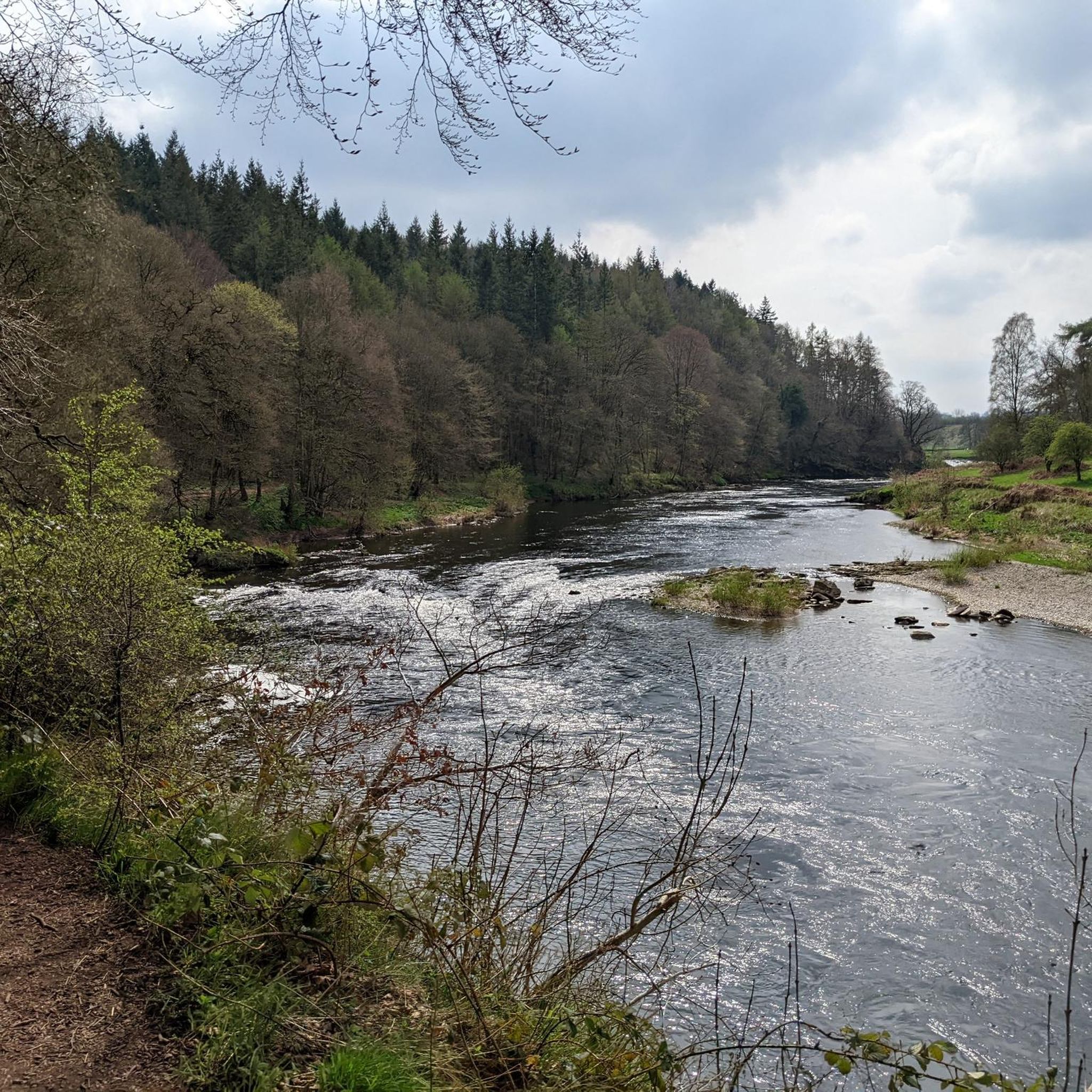
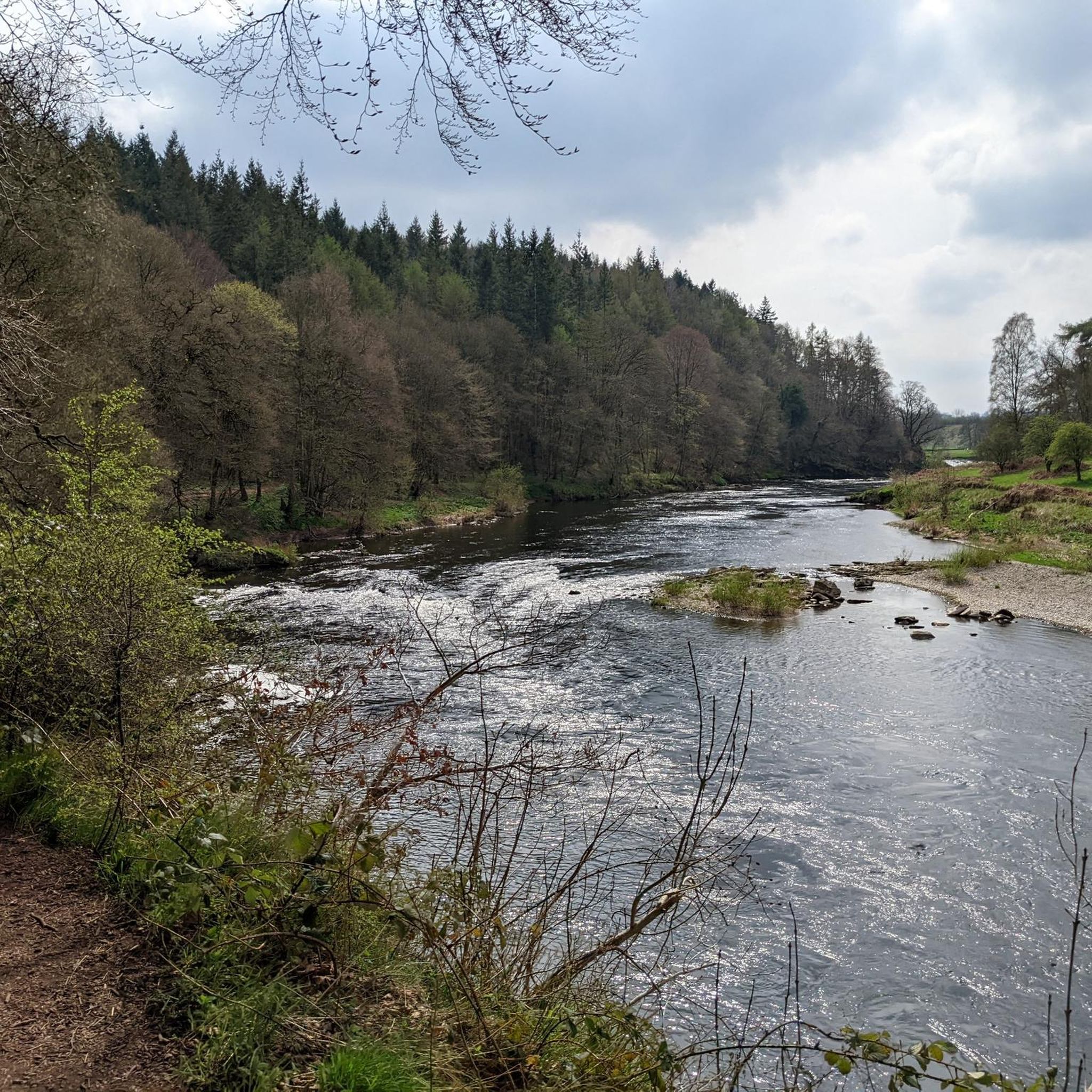
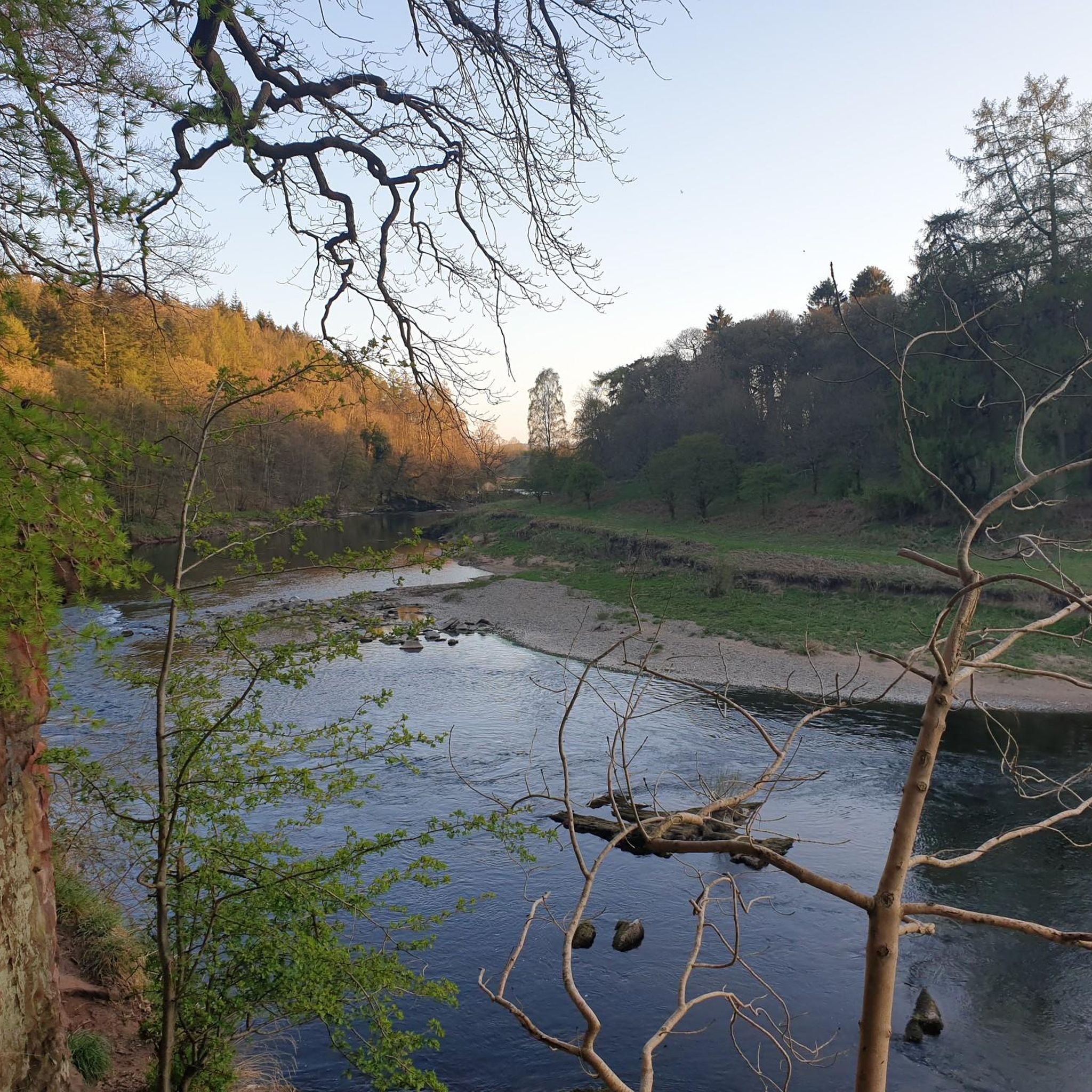

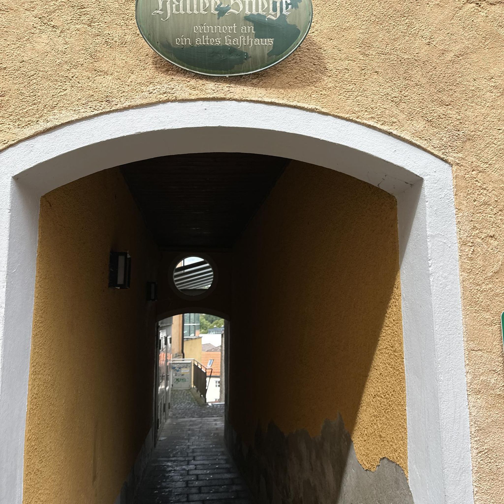
Tips from the Community

Excellent surface pretty much all the way up the climb, just a bit of sheep poop to worry about!
1
0
No much of a view on the day I visited but when it's clear you can see for miles.
0
0

Hartside Cross is the summit of the A686 between Penrith and Alston. It reaches 1,886 feet (575m) with great views because of the scrubby moorland.
0
0

Great Dun Fell is a great hill to do, and at 848 metres high, it is a UK designated Nuttall. Coming up from Milburn is a great hike, but a tad boggy in places. It also gives you a stiff hike with around 700 metres of height gain. It is all worth it, however, as the views out over the North Pennines are super expansive from out over the eastern side of the hill, a virtual moonscape of moorland. On the western side, you have distant views of the Lake District. There is a cairn on the top, but the true summit sits within the communications compound, which has restricted access.
2
0

When the path was open .it was a good walk on good paths
0
1


Great Dun Fell is a mountain in the Pennines of northern England, and it is known for several distinctive features. Here are some key points about Great Dun Fell: Location: Great Dun Fell is located in the Pennines, which is a range of hills and mountains running through the centre of northern England. It is situated in the Eden district of Cumbria. Elevation: It is the second-highest point in the Pennines, with an elevation of 848 meters (2,782 feet) above sea level. Cross Fell, another peak in the Pennines, is slightly higher. Radome: One of the most noticeable features of Great Dun Fell is the large white radome (golf ball) structure at its summit. The radome houses a radar installation, and it is part of the air traffic control radar network. Communication Infrastructure: In addition to the radar, Great Dun Fell hosts various communication masts and installations. The summit area is home to a collection of structures related to telecommunications. Access: The summit of Great Dun Fell is accessible by a private road that leads to the radar station. However, access to the general public is restricted due to the presence of sensitive installations. Pennine Way: Great Dun Fell is located near the Pennine Way, a long-distance footpath that runs through the Pennines. While the summit itself may not be accessible to walkers, the surrounding area offers opportunities for hiking and enjoying the Pennine landscape. Views: The summit of Great Dun Fell provides panoramic views of the surrounding Pennine hills and valleys. On clear days, the Lake District and Yorkshire Dales are visible in the distance. Weather: Like many high points in the Pennines, Great Dun Fell can experience challenging weather conditions, including high winds and rapid changes in weather. It's important for visitors to be prepared for varying conditions. While the summit area is not open to the public due to its military and telecommunications use, the surrounding region offers opportunities for outdoor enthusiasts to explore the Pennines and enjoy the scenic landscapes. Always check for any access restrictions and local guidelines before planning a visit.
3
0

Very close to St. Peter's Church, you'll find this building constructed in 1897 as a public hall, library, and reading room. It is a Grade II listed building.
1
0
Frequently Asked Questions
How many touring cycling routes are available around Great Salkeld?
There are nearly 180 touring cycling routes around Great Salkeld, offering a wide range of options for different skill levels and preferences. This includes over 20 easy routes, 90 moderate routes, and 68 difficult routes.
Are there easy touring cycling routes suitable for beginners in Great Salkeld?
Yes, Great Salkeld offers over 20 easy touring cycling routes perfect for beginners or those looking for a relaxed ride. These routes typically feature gentler gradients and shorter distances, allowing you to enjoy the serene Eden Valley at a comfortable pace.
What kind of scenery can I expect on touring bike routes around Great Salkeld?
Touring bike routes around Great Salkeld traverse the picturesque Eden Valley, characterized by rolling hills, lush green fields, and charming red sandstone villages. You'll also find clear becks flowing through woodlands and meadows, with expansive views of the Pennines in the distance. Quiet country lanes provide a tranquil cycling experience.
Are there any notable landmarks or attractions to see along the touring routes?
Yes, several routes pass by or near interesting landmarks. You might encounter historical sites like Long Meg and Her Daughters Stone Circle or Penrith Castle. Natural features such as the River Eden at Force Mill Weir and unique man-made monuments like Vista – Eden Benchmark Sculpture also dot the landscape.
Can I find circular touring cycling routes in the Great Salkeld area?
Yes, many touring cycling routes around Great Salkeld are designed as circular loops, allowing you to start and finish at the same point. An example is the Langwathby Bridge – Langwathby Bridge loop from Lazonby and Kirkoswald, which is a moderate 12.5-mile (20.2 km) ride through the Eden Valley.
What are some longer, more challenging touring cycling routes for experienced riders?
For experienced riders seeking a challenge, routes like the Hartside Summit Viewpoint – South Tyne Trail loop from Lazonby and Kirkoswald offer significant elevation gain over 45.4 miles (73.1 km). Another demanding option is the Great Dun Fell Radar Station – Hartside Summit Viewpoint loop from Langwathby, which covers 45 miles (72.3 km) with over 1300 meters of ascent.
What is the typical elevation gain on touring cycling routes in Great Salkeld?
The elevation gain varies significantly depending on the route's difficulty. Easy routes will have minimal ascent, while difficult routes can feature substantial climbs. For instance, the challenging Blencarn Lake – Eden Bridge loop from Lazonby and Kirkoswald includes over 730 meters of elevation gain, showcasing the area's rolling hills.
How do other cyclists rate the touring routes in Great Salkeld?
The touring cycling routes in Great Salkeld are highly rated by the komoot community, with an average score of 4.6 stars from over 80 reviews. Cyclists often praise the tranquil experience on quiet country lanes and the expansive views of the Pennines and the rural Eden Valley.
What is the best time of year for touring cycling in Great Salkeld?
The best time for touring cycling in Great Salkeld is generally from late spring to early autumn (May to September). During these months, the weather is typically milder, and the landscape is at its most vibrant. Always check the local forecast before heading out, as conditions in Cumbria can change rapidly.
Are there any family-friendly touring cycling options near Great Salkeld?
While specific 'family-friendly' routes are not explicitly listed, the area's over 20 easy touring routes are generally suitable for families with children who are comfortable cycling. These routes tend to be shorter and have less challenging terrain, allowing for a pleasant day out exploring the local villages and countryside.
Where can I park my car when starting a touring cycling route in Great Salkeld?
Parking options in Great Salkeld and surrounding villages like Lazonby and Kirkoswald typically include village car parks or designated roadside parking areas. It's advisable to check local signage for any restrictions and to park considerately, especially in smaller communities.
Are there any routes that offer particularly good views of the Pennines?
Many routes in the Great Salkeld area offer excellent views of the Pennines, given the region's position at the edge of the range. Routes that climb towards higher ground, such as those near Hartside Summit, will provide the most expansive panoramas. The View of Brougham Castle – Langwathby Bridge loop from Langwathby also offers scenic vistas.
Most popular attractions around Great Salkeld

Get inspired with the komoot mobile app


Explore more
Browse the best Cycling routes in other regions.
