The best running trails around Asby
3.6
(8)
925
runners
124
runs
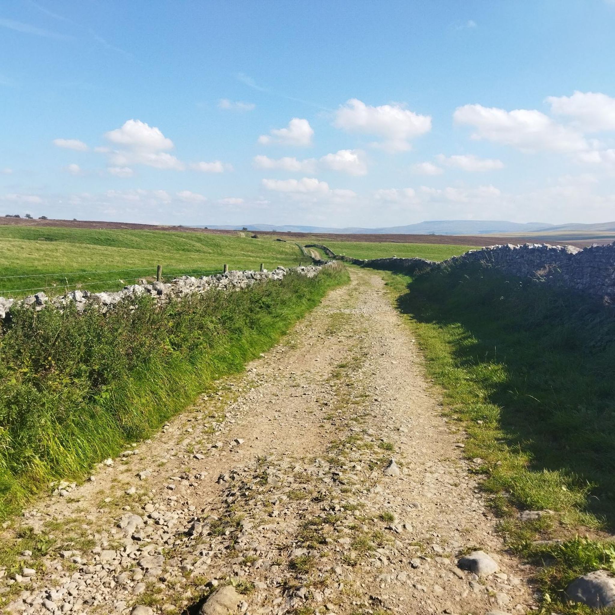
Jogging around Asby offers diverse terrain within a protected natural landscape. The region is characterized by unique geological formations, including extensive limestone pavements, and a rich mosaic of varied habitats like dry grasslands, heath, and moorland. Runners can explore both open fields and more sheltered wooded paths, with water features such as Sunbiggin Tarn adding to the scenic appeal. The area provides a mix of challenging upland routes and gentler paths through its picturesque setting.
Best jogging routes around Asby
…Last updated: August 18, 2026
5.0
(1)
25
runners
7.83km
00:57
160m
160m
Moderate run. Good fitness required. Mostly paved surfaces. Suitable for all skill levels.
16
runners
Moderate run. Good fitness required. Mostly paved surfaces. Suitable for all skill levels.

Sign up for free
17
runners
9.60km
01:00
100m
100m
Moderate run. Good fitness required. Mostly paved surfaces. Suitable for all skill levels.
13
runners
19.5km
02:35
540m
540m
Hard run. Very good fitness required. Mostly paved surfaces. Suitable for all skill levels.
13
runners
11.2km
01:24
220m
230m
Moderate run. Good fitness required. Mostly paved surfaces. Suitable for all skill levels.
Get access to more routes and recommendations from other explorers.
Sign up for free
Already have an account?
Our route recommendations are based on thousands of hikes, rides, and runs completed by other people on komoot.
Start today with a free account
Your next adventure awaits.
Login or Signup
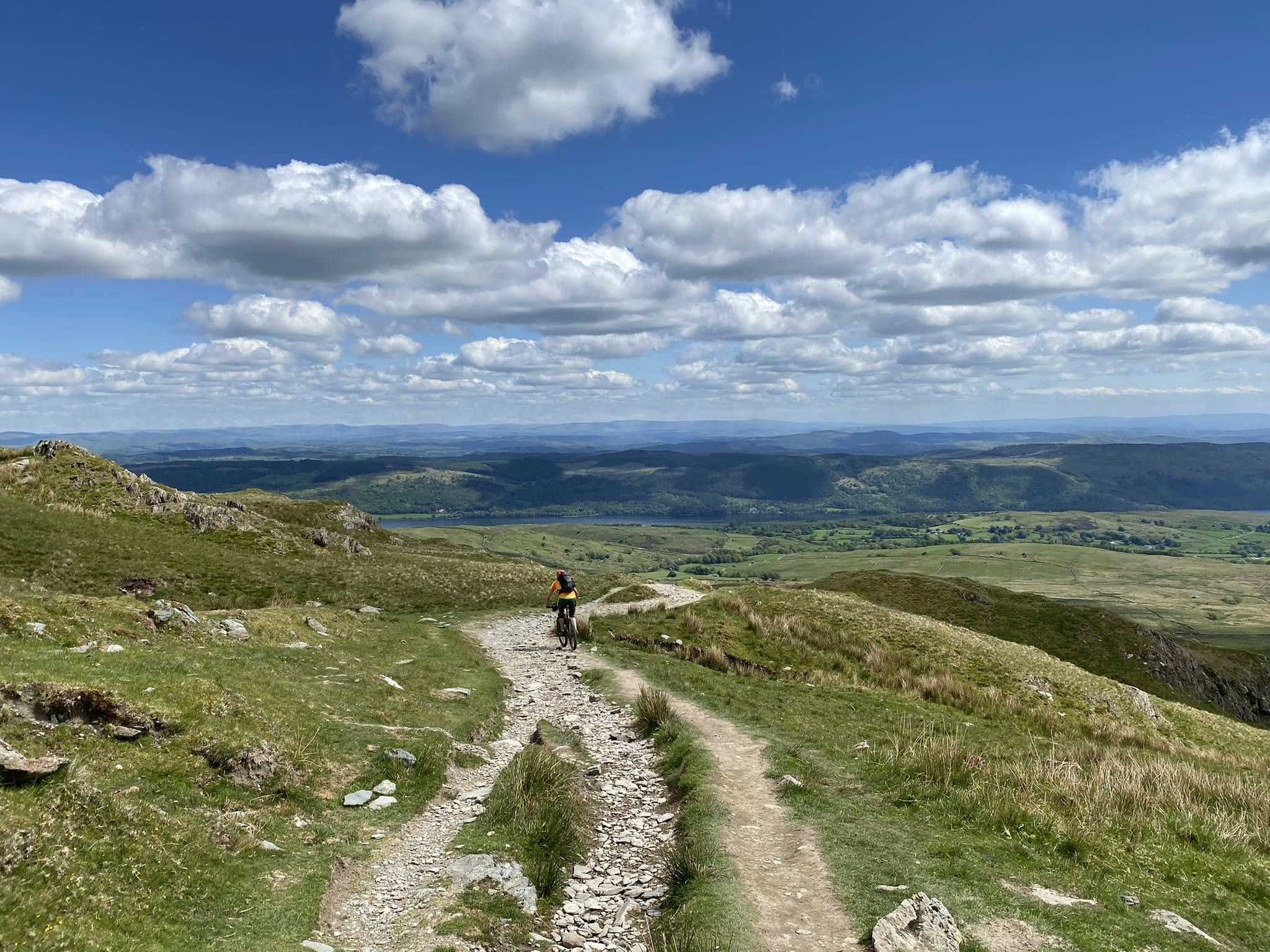
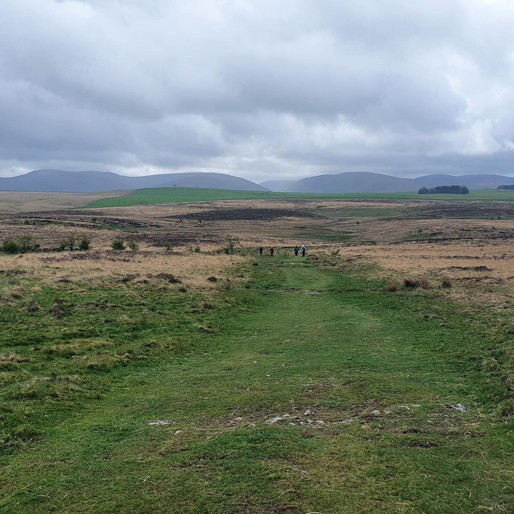
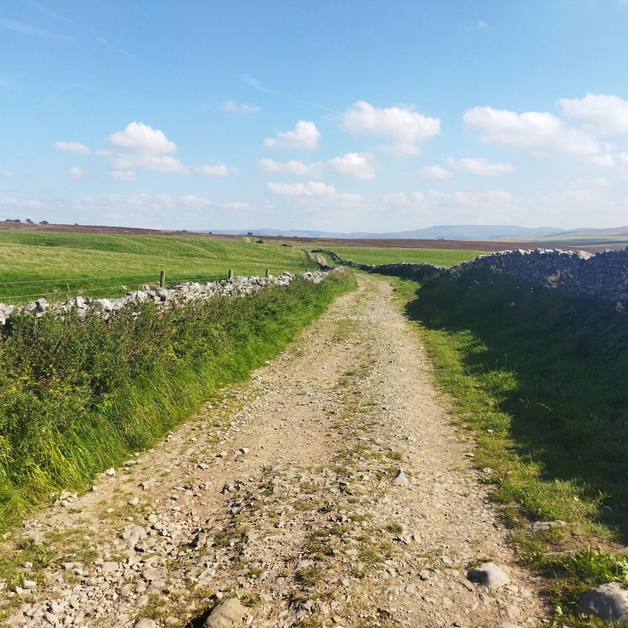


Tips from the Community

Wander Bank 320.3m P12.1 (1051ft) (Hill ID: 511742) [JNSA s8752] Yorkshire Dales National Park Definitive List summit Kent List.
0
0


The earliest fabric in the church dates from the later part of the 12th century. The tower was built in the early 16th century. In 2006–07, the tower was rendered in lime, giving it a white appearance.
1
0
The part of the footpath follows alongside a beck. Very pretty but quick boggy.
0
0
Very pretty village with a number of old stone bridges. The village also has a cafe, village shop and a chocolate shop.
0
0
This is an old lime kiln. Lime kilns were used to convert limestone to quicklime, by burning it. Quicklime was used in construction for mortar, plaster and limewash, but mostly it was used as a dressing on fields to reduce the acidity of the soil.
2
0
Frequently Asked Questions
How many running routes are available around Asby?
Asby offers a wide variety of running trails, with over 130 routes available for exploration. These range from easy loops to more challenging ascents across diverse terrain.
What kind of terrain can I expect on running trails in Asby?
The running trails in Asby feature a diverse and unique landscape. You'll encounter distinctive limestone pavements, varied grasslands, heath, scrub, and upland moorland areas. Some paths lead through open fields, while others offer more sheltered wooded sections, providing a mix of surfaces and challenges.
Are there running routes suitable for beginners in Asby?
Yes, Asby has several running routes suitable for beginners. There are at least 8 easy trails available. An excellent option is the Beacon Hill Jubilee Monument – Orton Fells Access Point loop from Beacon Hill, which is an easy 2.7 miles (4.3 km) path offering access to the Orton Fells.
What do other runners say about the trails in Asby?
The running trails in Asby are highly regarded by the komoot community, with an average rating of 3.0 stars. Over 900 runners have explored the area using komoot, often praising the varied terrain and the unique natural beauty of the limestone pavements and fells.
Are there any scenic running routes with notable landmarks or viewpoints in Asby?
Absolutely. Many routes offer stunning views and pass by interesting features. For example, the View of Scandal Beck Viaduct – Wander Bank Barn loop from Crosby Garrett provides views of the historic Scandal Beck Viaduct. You can also find routes that take you past the Beacon Hill Jubilee Monument or offer vistas from the Orton Fells, such as the Sunbiggin Tarn – View from Orton Fells loop from Sunbiggin Tarn. The region itself, including Great Asby Scar, is known for its extensive limestone pavements and upland scenery.
Can I find circular running routes in the Asby area?
Yes, many of the running routes around Asby are designed as circular loops, allowing you to start and finish at the same point. Examples include the popular View of Scandal Beck Viaduct – Wander Bank Barn loop from Crosby Garrett and the Wooden Bridge Over Orton Beck – Orton Scar Lime Kiln loop from Orton Quarry.
Are there any dog-friendly running trails around Asby?
Asby is generally very welcoming to dogs, especially given its location within the Yorkshire Dales National Park and its status as a National Nature Reserve. Most public footpaths and bridleways are accessible for dogs, though it's crucial to keep them on a lead, especially near livestock and during nesting seasons, to protect wildlife and farm animals. Always check local signage for specific restrictions.
What are some longer distance running options in Asby for experienced runners?
For those seeking a longer challenge, Asby offers several moderate to difficult routes. The Sunbiggin Tarn – View from Orton Fells loop from Sunbiggin Tarn is an 8.6 miles (13.8 km) trail that takes about 1 hour 40 minutes, leading through varied terrain. Another substantial option is the Running loop from Sunbiggin Tarn, which covers 12.6 km (7.8 miles) and features significant elevation changes.
Are there running routes in Asby that pass by water features?
Yes, the area includes beautiful water features that enhance the running experience. Sunbiggin Tarn is a notable inland water body, and routes like the Sunbiggin Tarn – View from Orton Fells loop from Sunbiggin Tarn will take you around its tranquil margins. Crosby Gill also features areas of tufa and alkaline fens, adding to the natural beauty.
What historical sites can I see while running in Asby?
Asby has a rich history that can be explored on your runs. The area is home to Castle Folds, an ancient walled settlement dating back to Roman times, located high on the limestone fells. Additionally, the Beacon Hill Jubilee Monument is a prominent landmark you might encounter on trails like the Beacon Hill Jubilee Monument – Orton Fells Access Point loop from Beacon Hill.
Is parking available near the running trails in Asby?
While specific parking details for every route vary, Asby is generally accessible for outdoor activities. Many trailheads, especially those within the Yorkshire Dales National Park, often have designated parking areas or roadside parking options. It's advisable to check the starting point of your chosen route for the most accurate parking information.
What is the best time of year to go running in Asby?
Asby offers a rewarding running experience throughout the year, but each season has its unique charm. Spring and summer bring vibrant wildflowers and milder temperatures, ideal for enjoying the diverse habitats. Autumn showcases beautiful foliage, while winter can offer crisp, clear runs, though some upland areas might be more challenging due to weather conditions. Always check local weather forecasts before heading out.
Are there any challenging running trails in Asby with significant elevation?
Yes, Asby, being an upland site, offers challenging routes with notable elevation gains. The area includes extensive flushes of mire amidst moorland and grassland, and you can experience invigorating ascents in areas like The Knott, which is the highest point of Great Asby Scar at 412 meters (1352 feet). There are 32 difficult routes available for those seeking a strenuous workout.
Most popular routes around Asby
Most popular attractions around Asby

Get inspired with the komoot mobile app


Explore more
Browse the best Running Trails & Routes in other regions.
