The best walks and hikes around Castle Carrock
4.4
(695)
2,965
hikers
18
hikes
Hiking around Castle Carrock, a village at the foot of the Pennines in Cumbria, offers diverse landscapes within the North Pennines National Landscape and UNESCO Global Geopark. The area features the Castle Carrock Reservoir, surrounded by woodlands and upland fells, and the River Gelt, which flows through a red sandstone gorge. Terrain varies from arable land and lush meadows to dry moorland and rolling hills, with geological compositions of Carboniferous limestone and sandstone. Castle Carrock Fell provides elevated views, with summits reaching over 400 meters.
Best hiking trails around Castle Carrock
- The most popular hiking route is Castle Carrock Reservoir loop — North Pennines, a 2.9 miles (4.7 km) trail that takes 1 hour 14 minutes to complete. This easy, circular route offers views of the reservoir and surrounding fells.
- Another top favourite among local hikers is Geltsdale and Old Water loop from Castle Carrock — North Pennines, a moderate 6.4 miles (10.3 km) path. This trail explores the rugged landscapes of Geltsdale, featuring becks, hills, and old quarries.
- Local hikers also love the Simmerson Hill and Hynam Bridge Loop, a 2.7 miles (4.3 km) trail leading through varied terrain with river views, often completed in about 1 hour 19 minutes.
- Hiking around Castle Carrock is defined by reservoir paths, sandstone gorges, and upland fells. The network offers options for different ability levels, from easy circular walks to more challenging routes.
- The routes in Castle Carrock are highly rated by the komoot community with an average score of 4.4 stars from over 500 reviews. More than 2000 hikers have used komoot to explore Castle Carrock's varied terrain.
Last updated: October 10, 2026
4.9
(16)
105
hikers
6.00km
01:50
220m
220m
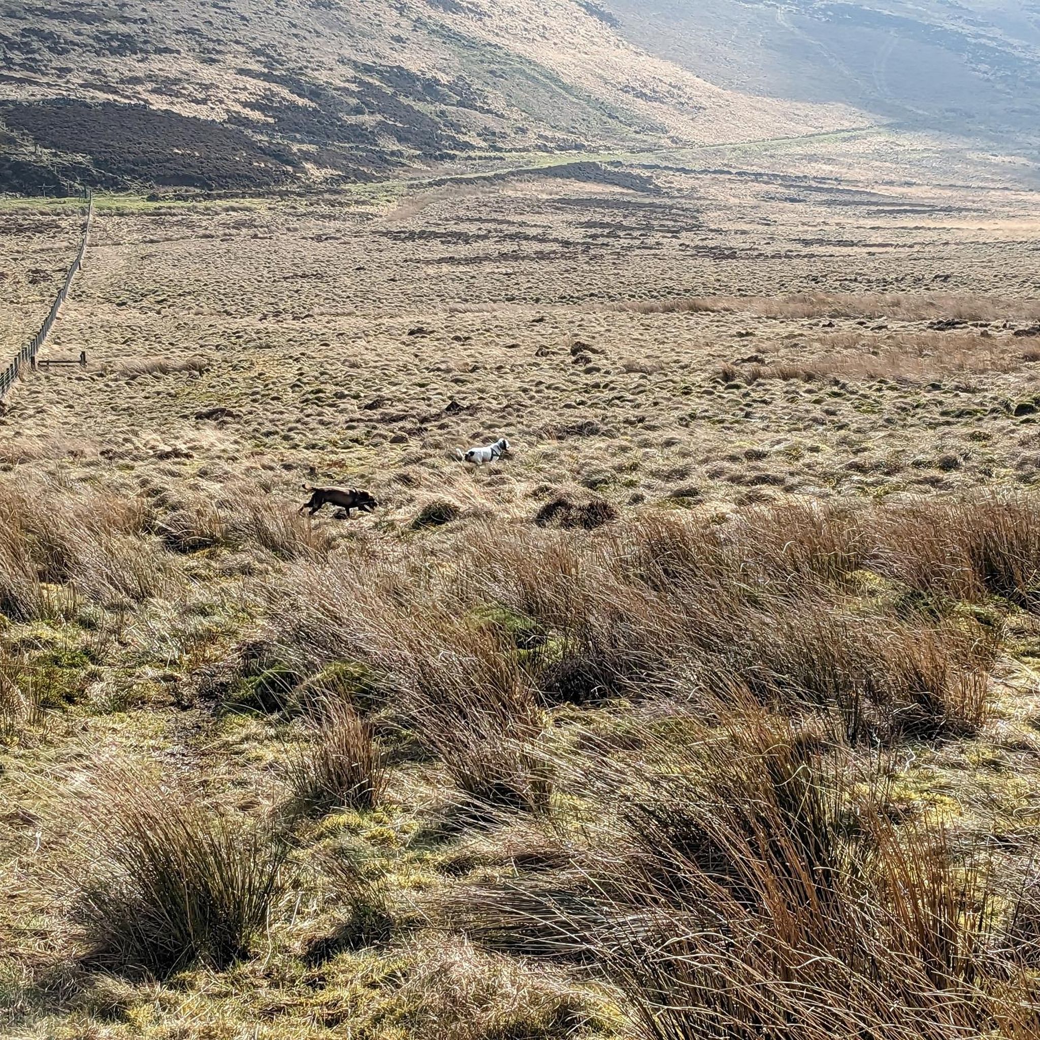
Embark on the Talkin Fell loop, an easy hiking route that spans 3.7 miles (6.0 km) and features a gentle 737 feet (225 metres) of elevation gain. This trail typically takes around 1 hour and 50 minutes to complete. As you hike, you will experience diverse terrain, from peaceful woodlands to open, heathery moorland. The route culminates at the Talkin Fell Summit Cairns and Trig Point, offering expansive views of the surrounding landscape.
Before you set out, be aware that some sections of the trail can be quite boggy, so consider bringing gaiters to keep your feet dry. If you are hiking with a dog, please keep it on a lead, as the moorland is home to traditional suckler cattle. Accessing the summit involves navigating a low fence and a ladder stile, which are part of the adventure.
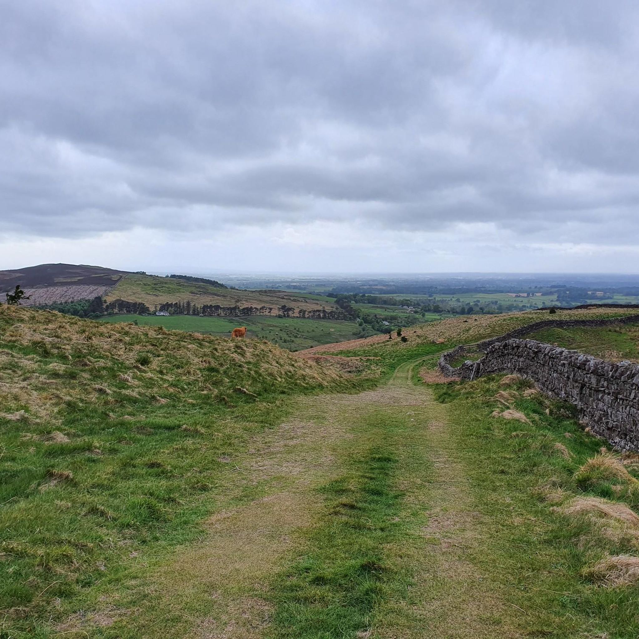
This loop is notable for its panoramic vistas, allowing you to see the distant Scottish hills and the majestic Lake District Fells on a clear day. The area is also part of the Geltsdale nature reserve, where you might spot ground-nesting birds like curlews and skylarks. The intriguing tall cairns at the summit add a unique historical touch to your journey.
4.2
(17)
44
hikers
10.3km
02:55
240m
230m
Embark on the Geltsdale and Old Water loop from Castle Carrock, a moderate hike spanning 6.4 miles (10.3 km) with an elevation gain of 784 feet (239 metres). You can expect to complete this diverse route in about 2 hours and 55 minutes. The trail guides you through the rugged and beautiful landscapes of Geltsdale, featuring a mix of well-defined paths, mountain tracks, and some road sections. As you traverse the isolated Old Water valley, you'll encounter steady ascents and descents, with higher points like Cumrew Fell offering expansive views over the Lakeland fells and the Solway. The varied terrain includes firm tracks, natural surfaces, and potentially boggy sections after rain, ensuring a dynamic hiking experience.
This moderate trail requires good fitness, and while paths are generally accessible, some sections demand sure-footedness. Be prepared for potentially boggy ground, especially after wet weather, and a fairly steep descent through heather near the end of the walk. The route is generally considered to take between 3 to 5 hours to complete, so plan your start time accordingly. While the research does not specify trailhead access or parking details, it originates from Castle Carrock, suggesting this as a convenient starting point for your adventure.
Beyond its natural beauty, the Geltsdale and Old Water loop is rich in industrial archaeology and historical infrastructure. You'll discover old mine workings, disused quarries, and the Geltsdale Pumping Station, alongside Gairs House, once a manager's residence. The area is also significant for its role in Carlisle's water supply, with remnants of the historical water collection system visible, including a metering house. As Geltsdale is an RSPB nature reserve, you might spot wildlife, but be aware that dogs may not be allowed on certain parts of the moor to protect ground-nesting birds.

4.1
(7)
43
hikers
4.33km
01:19
150m
150m
The Simmerson Hill and Hynam Bridge Loop offers an easy hiking experience through varied landscapes. You will traverse woodlands and open fells, enjoying the changing scenery as you go. The route leads you to Hynam Bridge, where you can gaze down into the narrow, rocky gorge of the River Gelt. As you climb towards Simmerson Hill, the views open up, providing panoramic vistas across the fells. This easy hike covers 2.7 miles (4.3 km) with an elevation gain of 507 feet (155 metres), typically taking about 1 hour and 18 minutes to complete.
When planning your visit, consider that this trail is generally accessible throughout the year. While specific parking details are not provided, you can often find roadside parking or small designated areas near trailheads in this region. Always check local signage for any restrictions before you begin your hike to ensure a smooth start. The estimated duration of just over an hour makes it a great option for a shorter outing.
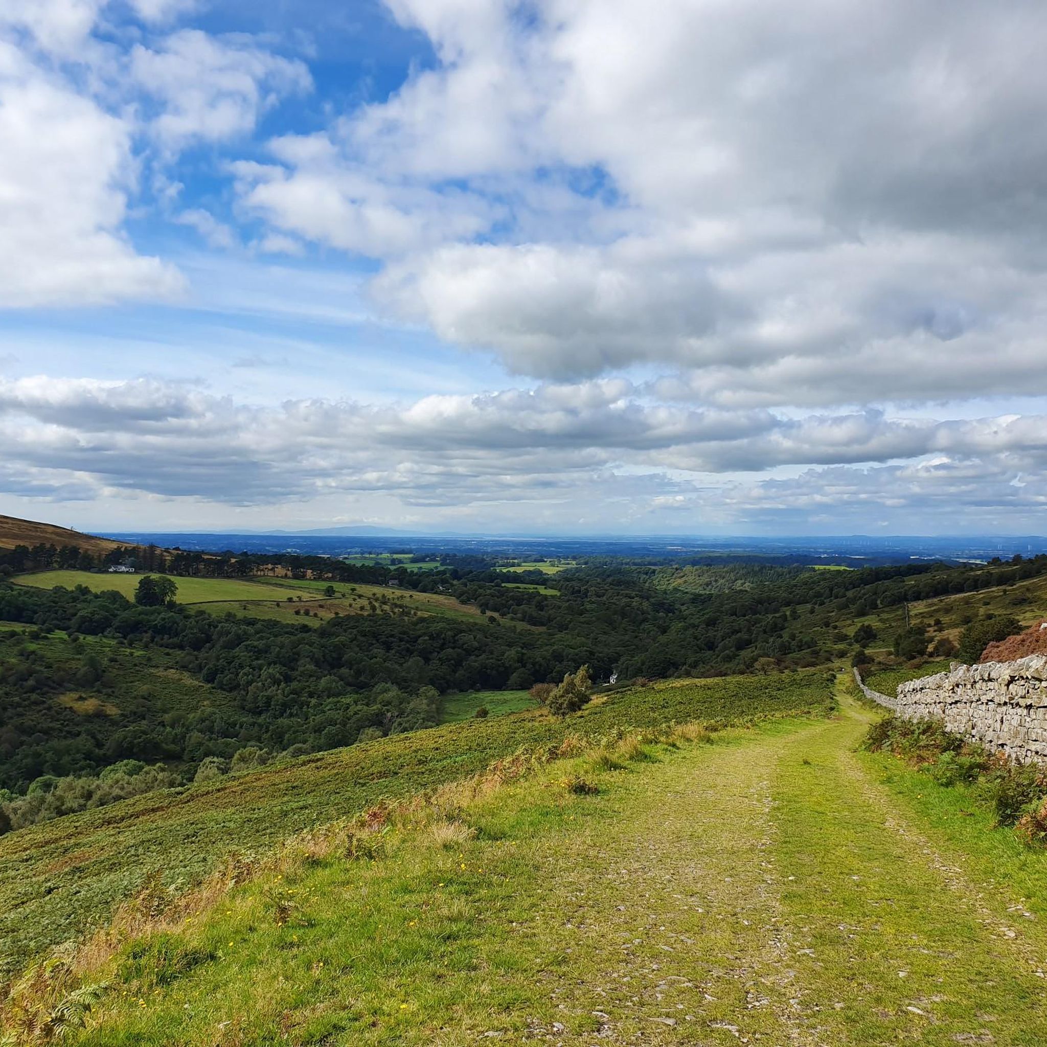
This loop is notable for its diverse natural features and historical elements. Keep an eye out for vibrant bluebells in Hynam Wood during spring, adding a splash of color to your journey. You will also pass by the historical remnants of Gairs Colliery, offering a glimpse into the area's industrial past. The panoramic viewpoints from Simmerson Hill extend far, allowing you to see across to the Lake District fells and even the distant Galloway hills in Scotland on a clear day.
4.6
(5)
19
hikers
4.67km
01:14
50m
50m
Easy hike. Great for any fitness level. Easily-accessible paths. Suitable for all skill levels.
3.0
(1)
5
hikers
18.3km
05:32
610m
610m
This challenging 11.4-mile hike from Jocky Shield Cottage explores Cold Fell and Talkin Fell, offering extensive views and 2015 feet of elev
Get access to more routes and recommendations from other explorers.
Already have an account?
Our route recommendations are based on thousands of hikes, rides, and runs completed by other people on komoot.
Start today with a free account
Your next adventure awaits.
Tips from the Community

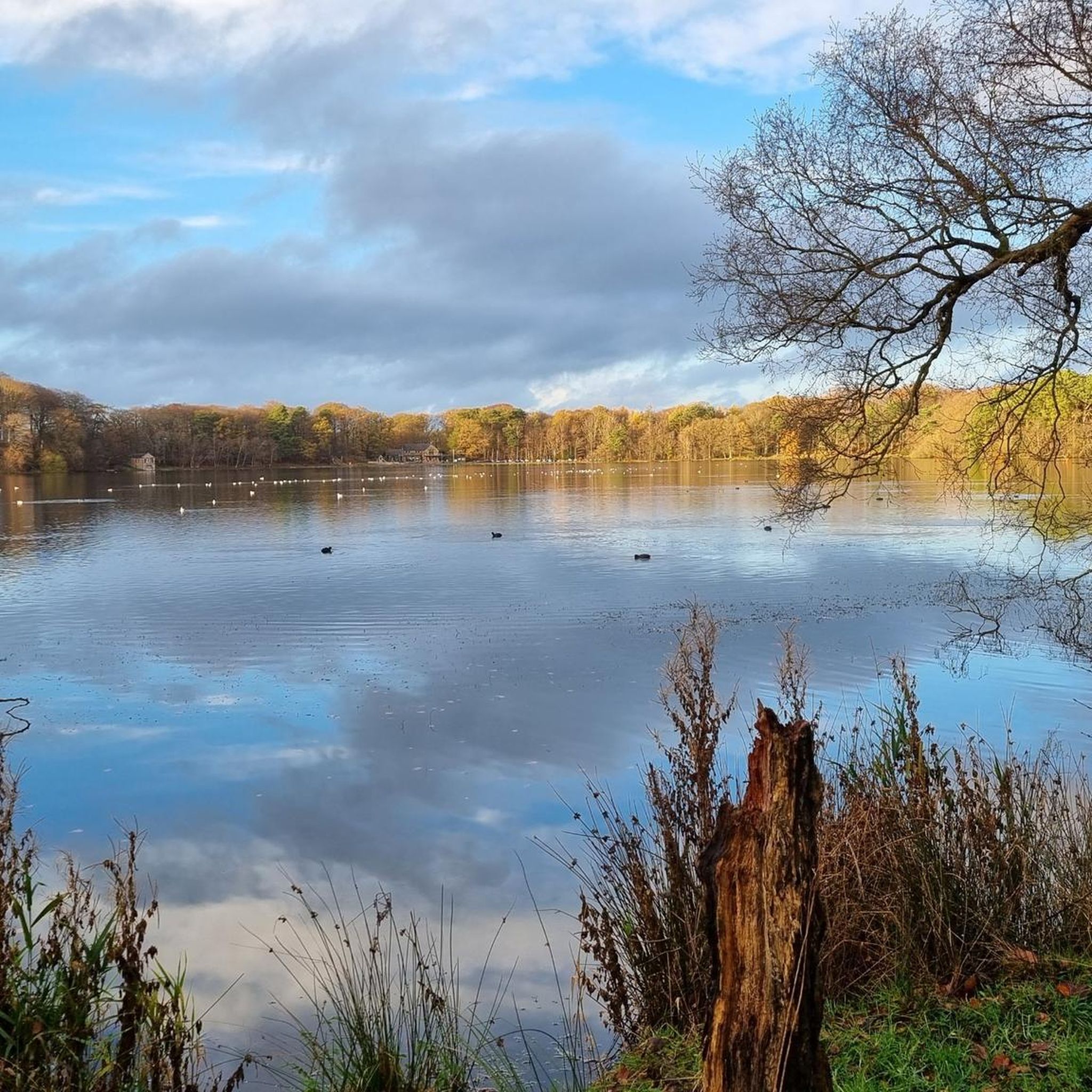
Castle Carrock Reservoir is a 43-acre, active reservoir that supplies drinking water to the city of Carlisle. It was completed in 1909. It is a beautiful area sitting just south of Castle Carrock village. It is nestled in woodland and has a scenic, popular 2-mile walking loop around its edges. Though the path can get boggy, the views out across the water provide a peaceful and tranquil ambience.
0
0
Cold Fell, at 621 m (2,037 ft), is a rather remote and boggy mountain top just south of Tindale Tarn. It makes for a good hiking outing from Hallbankgate, taking in the Brunwath Viewpoint. Being a UK designated Nuttall and Marilyn, it is a popular hiking point offering expansive views over Cumbria and the Lake District.
0
0

The two buildings you can see are the pumping station, and the pump house that would serve as a residence for the person in charge of working there. Right at this point, the Old Water and the New Water diverge.
0
0
Gairs House was the building where the manager of the nearby mines lived. It also served as an office. It has been out of use for a long time. It's a good place to take a short break and relax. Additionally, if you're with children, there's a tree nearby with a shape that's ideal for them to play and climb a bit.
1
0
Located south of the village, the surroundings of the reservoir are ideal for a peaceful route around the water and enjoying the wildlife. This infrastructure was built in the early 20th century.
1
1
Very close to St. Peter's Church, you'll find this building constructed in 1897 as a public hall, library, and reading room. It is a Grade II listed building.
1
0

Here you can enjoy sensational views over the remote Scottish landscape of The Gairs.
3
0

Not a bad place for a wild swim especially if you make the effort to head upstream a bit.
1
0
Frequently Asked Questions
How many hiking trails are available around Castle Carrock?
Castle Carrock offers a diverse network of over 18 hiking trails, catering to various skill levels. You'll find a good mix of easy, moderate, and challenging routes to explore the area's unique landscapes.
What do other hikers enjoy most about the trails in Castle Carrock?
The trails around Castle Carrock are highly rated by the komoot community, with an average score of 4.4 stars from over 500 reviews. Hikers often praise the serene beauty of the Castle Carrock Reservoir loop, the rugged landscapes of Geltsdale, and the varied terrain that includes fells, woodlands, and river views.
Are there any easy, family-friendly walks in Castle Carrock?
Yes, Castle Carrock is ideal for family-friendly walks. There are 8 easy routes, such as the Castle Carrock Reservoir loop, which is a gentle circular trail around the reservoir. The Castle Carrock Slow Trail, mentioned in regional research, is also an easy option, perfect for immersing yourselves in the countryside.
Are there circular hiking routes available?
Absolutely. Many of the trails in Castle Carrock are circular, allowing you to start and end at the same point. Popular options include the Castle Carrock Reservoir loop and the Simmerson Hill and Hynam Bridge Loop, which offers varied terrain and river views.
Can I bring my dog on the hiking trails?
Yes, many trails in Castle Carrock are dog-friendly. However, as the area is rich in wildlife and includes agricultural land, it's important to keep dogs under control, especially near livestock and in nature reserves like Geltsdale. Always follow local signage and respect the environment.
Are there any trails that feature waterfalls or interesting water features?
While there aren't prominent waterfalls, the area is defined by its water features. The Castle Carrock Reservoir loop offers picturesque views of the reservoir itself. The River Gelt flows through a striking red sandstone gorge, and its tributaries, Old Water and New Water, feed the reservoir, providing scenic riverside sections on routes like the Geltsdale and Old Water loop.
What natural landmarks or viewpoints can I discover while hiking?
Castle Carrock offers several natural landmarks and viewpoints. You can enjoy elevated views from Castle Carrock Fell, or explore the rugged landscapes of Geltsdale, an RSPB nature reserve. For specific viewpoints, consider visiting Cold Fell Summit and Trig Point or Talkin Fell Summit Cairns and Trig Point for panoramic vistas.
Are there any historical sites or attractions near the hiking routes?
Yes, the area is rich in history. A short distance away, you can visit Lanercost Priory, an impressive Augustinian priory partly built with stones from Hadrian's Wall. Another notable historical landmark is Hare Hill, Hadrian's Wall Ruins, which is the tallest surviving section of the wall.
When is the best time of year to go hiking in Castle Carrock?
Castle Carrock is beautiful year-round, but spring and summer are particularly appealing when the low Hynam meadows are adorned with wildflowers. The diverse landscapes, from woodlands to fells, offer different charms in every season, making it a great destination for hiking throughout the year.
Are there any more challenging hikes for experienced trekkers?
Yes, for those seeking a greater challenge, there is at least one difficult route available. The Cold Fell & Talkin Fell loop from Jocky Shield Cottage is a demanding 18.3 km (11.4 miles) trail with significant elevation gain, offering a strenuous but rewarding experience.
Is parking available at the trailheads in Castle Carrock?
Parking is generally available in and around Castle Carrock, particularly near popular starting points like the reservoir. Specific parking details can often be found on individual route descriptions on komoot, but it's always advisable to check local signage and be mindful of residential areas.
What kind of terrain can I expect on the hikes around Castle Carrock?
The terrain around Castle Carrock is incredibly varied. You can expect everything from gentle paths around the reservoir and through lush meadows in Low Hynam, to more rugged sections in Geltsdale with becks and hills, and upland fells like Castle Carrock Fell. The geological composition includes Carboniferous limestone and sandstone, adding to the scenic diversity.
Most popular routes around Castle Carrock
Most popular attractions around Castle Carrock

Get inspired with the komoot mobile app


Explore more
Browse the best Hikes in other regions.
