The best road cycling routes around Dundraw
4.9
(18)
987
riders
90
rides
Road cycling routes around Dundraw traverse a landscape characterized by open marshlands, agricultural plains, and proximity to the Lake District fells. The area features varied terrain, including routes with significant elevation gains and others that offer more gentle gradients. Road cyclists can expect to encounter views of the Irish Sea, local lakes, and rolling hills.
Best road cycling routes around Dundraw
- The most popular road cycling route is Caldbeck Village – Lakes and Dales Loop loop from Wigton, a…
Last updated: May 13, 2026
4.3
(3)
112
riders
71.5km
03:31
940m
940m
Hard road ride. Very good fitness required. Mostly well-paved surfaces and easy to ride.
15
riders
46.2km
02:04
200m
200m
Moderate road ride. Good fitness required. Mostly well-paved surfaces and easy to ride.

Sign up for free
13
riders
54.2km
02:21
230m
230m
Moderate road ride. Good fitness required. Mostly well-paved surfaces and easy to ride.
14
riders
107km
05:13
1,130m
1,130m
Hard road ride. Very good fitness required. Mostly well-paved surfaces and easy to ride.
10
riders
25.9km
01:10
90m
90m
Easy road ride. Great for any fitness level. Mostly well-paved surfaces and easy to ride.
Get access to more routes and recommendations from other explorers.
Sign up for free
Already have an account?
Our route recommendations are based on thousands of hikes, rides, and runs completed by other people on komoot.
Start today with a free account
Your next adventure awaits.
Login or Signup
Popular around Dundraw


Tips from the Community

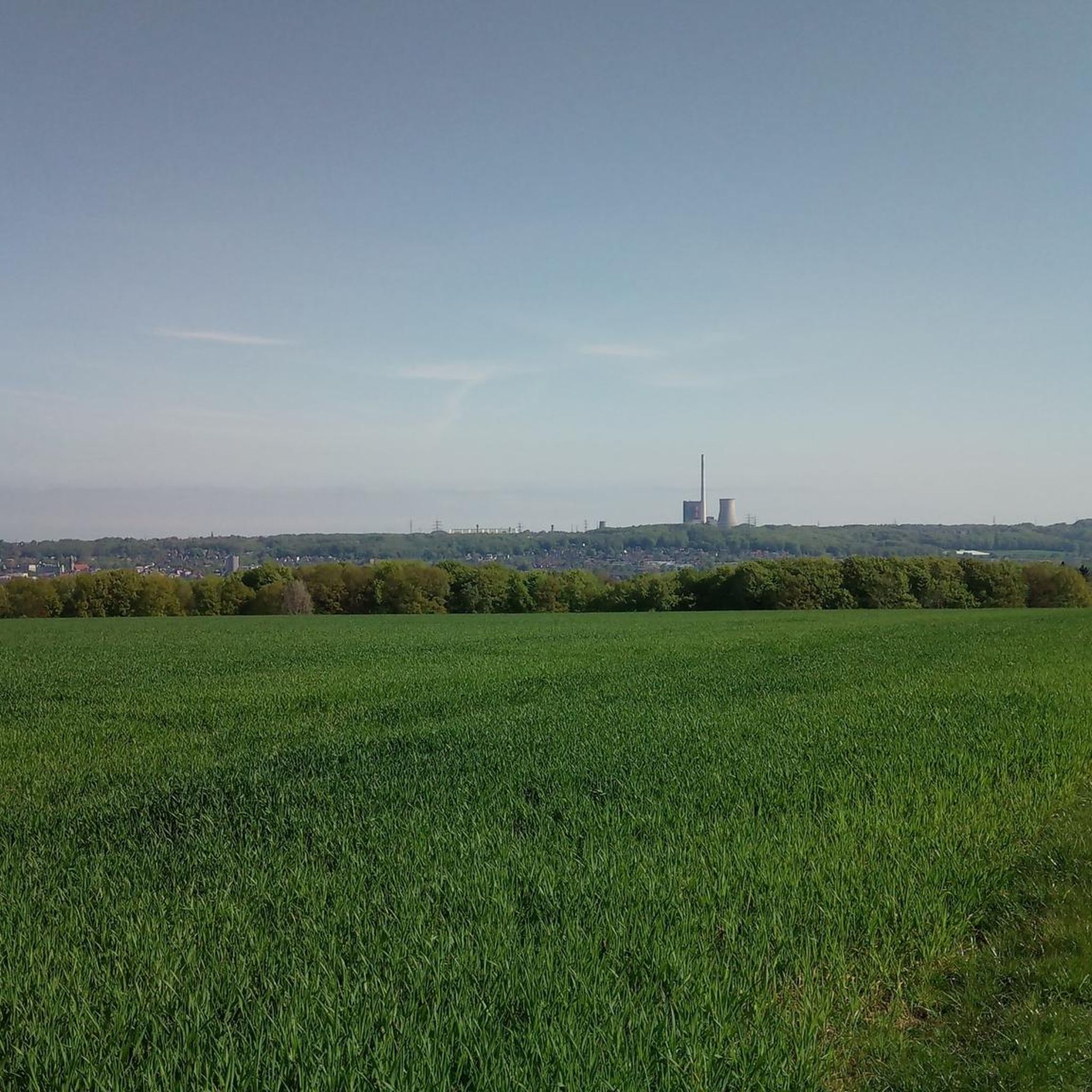
This is a great cycling stretch of road with good views out over the Solway Firth. It's as flat as anything, and you can get a good bit of speed up. A super nice highway to ride all the way to Carlisle.
0
0
One thing about the road between Bowness-on-Solway and Carlisle is that it's as flat as a pancake, and Burgh Marsh is no exception. It is a great cycling stretch of road with good views out over the Solway Estuary.
0
0
A noteworthy fact about Burgh Marsh is that it was the place where Edward the First, one of the most formidable English monarchs, died when he developed fever during a campaign against the Scots. Where he is supposed to have died on the Marsh is marked by a rarely visited monument that is well worth a visit. It is a tranquil and peaceful place.
1
0
Bowness-on-Solway is best known as being the western end of the iconic Hadrian's Wall. There is a small shelter here to mark the start of this national trail. You will not see much of the wall until after Carlisle, but the wall did originally start at the village with even more forts further down the coast. Being an estuary, this area is also a haven for wildlife and birdwatching.
0
0

Things are moving forward here. Flat, and the wind is usually at your back. There's only the landscape and the sea to enjoy. And... the occasional stray cow.
11
0
Burgh Marsh is a vast salt marsh on the Solway Firth, where nature, history, and mystery converge. Located near Burgh by Sands, the area forms a key part of the Solway Coast Area of Outstanding Natural Beauty. King Edward I died here in 1307 during his campaign against Scotland, an event marked by a monument in the middle of the marsh. Bordering the western section of Hadrian's Wall, Burgh Marsh also bears traces of the Roman presence. Today, Burgh Marsh stands as a silent witness to centuries of frontier history, with a landscape that invites reflection and exploration.
10
0
The Solway Coast Cycleway winds along the Solway Firth coast between Maryport and Carlisle, and is one of the most accessible and visually appealing sections of Hadrian's Cycleway. The route largely follows the B5300 and offers panoramic views across the Irish Sea, with views of southern Scotland and the Isle of Man on a clear day.
7
0
🍽️ The Solway Lounge & Garrison Bistro in Bowness-on-Solway is a lively eatery located on the grounds of Bowness House Farm, near the western end of Hadrian's Wall. We received a warm welcome and highly recommend it. There's also a small museum. Opening hours: Daily from 8:00 AM to 8:30 PM.
10
0
Frequently Asked Questions
How many road cycling routes are available around Dundraw?
There are over 90 road cycling routes in the Dundraw area, offering a wide variety of options for different skill levels and preferences.
Are there easy road cycling routes suitable for beginners around Dundraw?
Yes, Dundraw offers a good selection of routes suitable for beginners. Approximately 40 routes are rated as easy, providing gentler gradients and manageable distances for those new to road cycling.
Are there challenging road cycling routes with significant climbs in Dundraw?
For experienced cyclists seeking a challenge, Dundraw provides routes with significant elevation gains. An example is the View of Hundith Hill – View of Derwent Water loop from Wigton, which covers over 100 km with more than 1,100 meters of climbing.
What kind of road conditions can I expect when cycling around Dundraw?
Road cycling routes around Dundraw traverse a landscape characterized by open marshlands, agricultural plains, and proximity to the Lake District fells. You can expect varied terrain, from flat sections through marshland to rolling hills and some steeper climbs as you approach the fells.
What is the best time of year for road cycling in Dundraw?
The spring and summer months (April to September) generally offer the most favorable conditions for road cycling in Dundraw, with milder weather and longer daylight hours. However, the region's beauty can be enjoyed in autumn as well, with changing foliage.
Is road cycling possible in Dundraw during winter?
While road cycling is possible in winter, conditions can be challenging with colder temperatures, shorter daylight, and a higher chance of rain or ice. Routes through open marshlands can be exposed to strong winds. It's advisable to check local weather forecasts and road conditions before heading out.
Which road cycling routes offer the most scenic views in Dundraw?
Many routes offer scenic vistas. The Abbey Town – View Across the Irish Sea loop from Holme Abbey provides stunning views over the Irish Sea and through coastal areas. Other routes offer glimpses of the Lake District fells and open marshlands.
Are there many circular road cycling loops around Dundraw?
Yes, the majority of road cycling routes around Dundraw are designed as circular loops, allowing you to start and finish at the same point. This includes popular options like the Burgh Marsh – Burgh Marsh loop from Wigton.
What do other road cyclists enjoy about the routes in Dundraw?
The road cycling routes in Dundraw are highly rated by the komoot community, with an average score of 4.9 stars from over 18 reviews. Cyclists often praise the varied terrain, the scenic views of the Irish Sea and Lake District, and the generally quiet roads through the open marshlands and agricultural plains.
Where can I find parking for road cycling routes near Dundraw?
Many routes start from towns like Wigton or Holme Abbey, where public parking is typically available. It's recommended to check specific starting points for parking facilities when planning your ride.
What are the typical durations for road cycling routes in the Dundraw area?
Route durations vary significantly based on distance and elevation. Moderate routes like the Abbey Town – View Across the Irish Sea loop from Holme Abbey typically take around 2 hours 20 minutes, while longer, more challenging rides can extend to 5-6 hours or more.
Are there any interesting landmarks or attractions to see along the road cycling routes?
Yes, the area offers several points of interest. You might encounter the Solway Coast National Landscape, historical sites like Holmcultram Abbey, or coastal features such as the Skinburness Coastal Path. These can add cultural and natural highlights to your ride.
Most popular routes around Dundraw
Most popular attractions around Dundraw

Get inspired with the komoot mobile app


Explore more
Browse the best Road cycling routes in other regions.
