The best cycling routes around Crosscanonby
4.6
(118)
1,808
riders
117
rides
Touring cycling routes around Crosscanonby are situated within the Solway Coast National Landscape, an Area of Outstanding Natural Beauty, offering diverse terrain. The region features coastal roads, such as the B5300, providing views of the Solway Firth and the Lake District fells. Inland, the landscape includes wetlands like Crosscanonby Carr Nature Reserve and areas influenced by the River Derwent, which flows through surrounding hills and valleys. This mix of coastal and inland features provides varied cycling experiences.
Best touring cycling…
Last updated: July 10, 2026
4
riders
90.2km
06:07
1,290m
1,290m
Hard bike ride. Very good fitness required. Mostly paved surfaces. Suitable for all skill levels.
4.5
(6)
69
riders
Easy bike ride. Great for any fitness level. Mostly paved surfaces. Suitable for all skill levels.

Sign up for free
4.0
(3)
29
riders
33.7km
02:04
180m
180m
Moderate bike ride. Good fitness required. Mostly paved surfaces. Suitable for all skill levels.
5.0
(1)
15
riders
35.8km
02:16
360m
360m
Moderate bike ride. Good fitness required. Mostly paved surfaces. Suitable for all skill levels.
4.5
(2)
9
riders
47.7km
02:47
110m
110m
Moderate bike ride. Good fitness required. Mostly paved surfaces. Suitable for all skill levels.
Get access to more routes and recommendations from other explorers.
Sign up for free
Already have an account?
Our route recommendations are based on thousands of hikes, rides, and runs completed by other people on komoot.
Start today with a free account
Your next adventure awaits.
Login or Signup

Tips from the Community

Once you have passed through the harbour area of Silloth the cobbles begin at the next junction and you are on Griffel Street with Silloth Green on your left.
8
0
Tarns Dub is a small, shallow body of water on the Solway Coast between Allonby and Mawbray, surrounded by dune vegetation and grassland. Its name, derived from a "tarn" (mountain lake) and "dub" (pond), reflects the local dialect. Ecologically, it serves as a watering hole for livestock and a habitat for amphibians and waterfowl. Scenically, it forms a resting point along the coastal route, with views of the Irish Sea and the hills of southern Scotland. Although modest in size, Tarns Dub contributes to the mosaic of wet and dry habitats that characterizes this part of the Solway Coast Area of Outstanding Natural Beauty.
8
0
Allonby Beach is a vast sand and shingle beach on the Solway Firth, known for its panoramic views, shallow tidal pools, and rich birdlife. Located along the B5300, the beach is a popular stop on the Solway Coast Cycleway. Historically, Allonby was a fishing village with Quaker influences, evident in buildings like the Reading Rooms and North Lodge. Today, the beach is popular with walkers, kitesurfers, and heritage seekers, with views across to southern Scotland and, on a clear day, the Isle of Man. It is part of the Solway Coast Area of Outstanding Natural Beauty and borders the environmentally protected Allonby Bay.
8
0
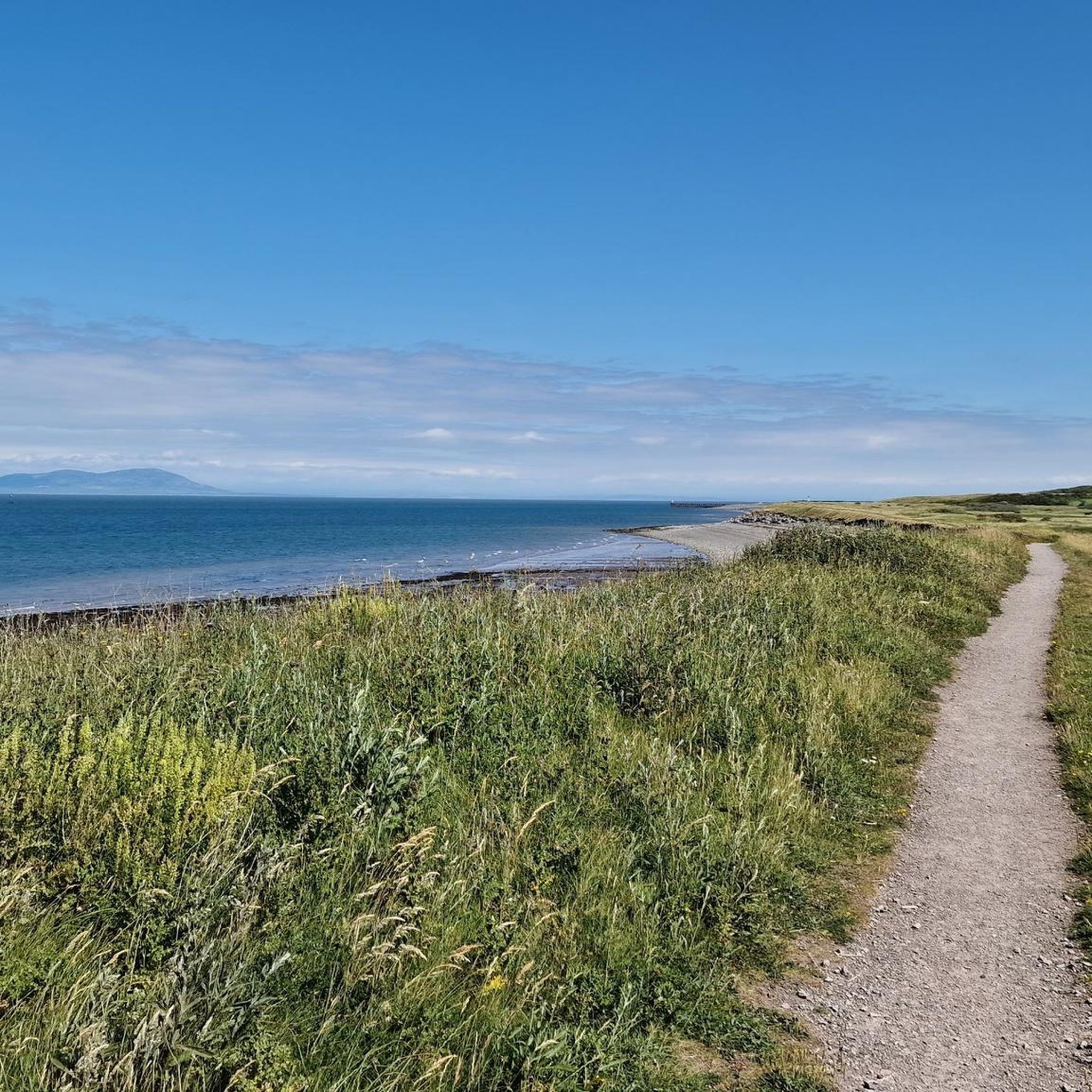
The Solway Coast Cycleway winds along the Solway Firth coast between Maryport and Carlisle, and is one of the most accessible and visually appealing sections of Hadrian's Cycleway. The route largely follows the B5300 and offers panoramic views across the Irish Sea, with views of southern Scotland and the Isle of Man on a clear day.
7
0
Plus, super friendly people and a warm welcome. Don't miss it.
9
0
Located on Blue Dial Farm, The Moody Cow is a fourth-generation family farm committed to regenerative agriculture and soil health. A 24/7 vending machine allows visitors to purchase fresh, non-homogenized milk—straight from the cow, with the cream still on top. The adjacent Moo Hall, a cozy retreat overlooking grazing cows and the coastal landscape, also offers milkshakes, smoothies, local vegetables, and eggs. Combining agricultural authenticity with hospitality and sustainability, the site is within walking distance of Roman remains and the Solway Coast.
9
0
The Reivers Route is the toughest C2C (Coast to Coast) route. It typically departs from Newcastle and travels east to west against the wind. While it may be the toughest, it's also undoubtedly the most beautiful. You'll pass stunning panoramas along the way.
9
0
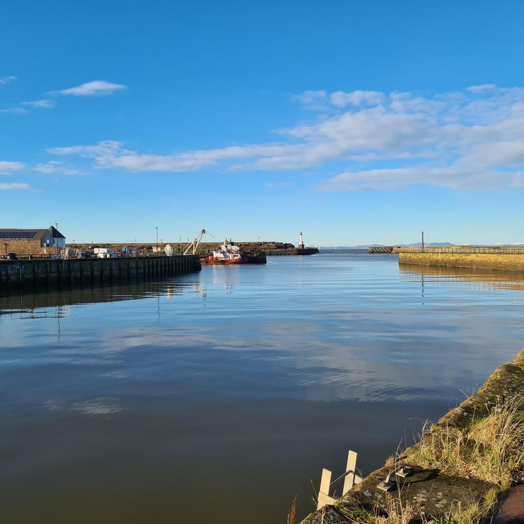
Maryport Harbour lies at the mouth of the River Ellen, where it flows into the Irish Sea. Once a bustling center of shipbuilding and coal exports, it boasted busy quays and a vibrant maritime trade. Today, the harbor exudes a tranquil charm, with a modern marina accommodating both sailboats and motorboats. The old warehouses and stone quays are reminders of its industrial past, while the lighthouse and views of the Solway Firth provide a picturesque backdrop. Around the harbor, you'll find charming cafés, seafood restaurants, and walking trails that invite you to explore.
10
0
Frequently Asked Questions
How many touring cycling routes are available around Crosscanonby?
There are over 120 touring cycling routes around Crosscanonby, offering a diverse range of experiences for cyclists. These routes are highly rated by the komoot community, with an average score of 4.7 stars.
What kind of terrain can I expect on touring cycling routes in Crosscanonby?
The terrain around Crosscanonby is quite varied. You'll find scenic coastal roads, such as the B5300, offering views of the Solway Firth and the Lake District fells. Inland, routes may take you through wetlands like Crosscanonby Carr Nature Reserve or along areas influenced by the River Derwent, providing a mix of flat sections and gentle inclines. Some more challenging routes venture further inland towards the Lake District fells.
Are there touring cycling routes suitable for beginners or families in Crosscanonby?
Yes, Crosscanonby offers several easy touring cycling routes perfect for beginners or families. For example, the Solway Coast Cycle Path – Colonel Tom Moore Mural loop from Maryport is an easy 14.0-mile path that follows the scenic Solway Coast. Additionally, Crosscanonby Carr Nature Reserve features an 'Access for All Trail' which is suitable for various users, including those on bikes.
What historical sites can I explore while cycling near Crosscanonby?
The region is rich in history. You can cycle past sites like the Roman Milefortlet 21, a World Heritage Site and part of Hadrian's Wall's coastal defense system, which has been partly reconstructed. Nearby are also the well-preserved remains of Elizabethan Salt Pans. St John the Evangelist's Church, a Grade I listed building, stands on one of Cumbria's earliest Christian sites and may incorporate stones from earlier Roman settlements. The Navvies Bridge – Maryport History Sculpture loop from Maryport is a great route to explore some of these historical points.
Are there any natural attractions or viewpoints along the touring cycling routes?
Absolutely. Many routes offer stunning natural features and viewpoints. You'll find glorious scenery within the Solway Coast National Landscape, with incredible 360-degree views to the Lake District fells and out to sea. The Solway Firth itself provides peaceful coastal views, often with Mount Criffel in Scotland visible across the water. Crosscanonby Carr Nature Reserve is a haven for wildlife, and you can find highlights like View of Solway Coast and Watch Hill Summit along various routes.
What is the best time of year to go touring cycling in Crosscanonby?
The best time to go touring cycling in Crosscanonby is generally during the spring, summer, and early autumn months (late February to early May, and autumn for birdwatching). During these periods, the weather is typically more favorable, and you can enjoy the diverse landscapes and wildlife, especially migratory birds at Crosscanonby Carr Nature Reserve. The coastal roads offer pleasant rides, though conditions can occasionally be turbulent near the Solway Firth.
Are there any challenging touring cycling routes for experienced cyclists?
Yes, for experienced cyclists seeking a challenge, there are difficult routes available. The Cockermouth and Keswick loop from Maryport is a demanding 56.1-mile trail that ventures inland towards the Lake District fells, featuring significant elevation changes.
Can I find circular touring cycling routes in the Crosscanonby area?
Many of the touring cycling routes around Crosscanonby are designed as loops, allowing you to start and finish in the same location. Examples include the Solway Coast Cycle Path – Colonel Tom Moore Mural loop from Maryport and the View Across the Irish Sea – View of Solway Coast loop from Maryport, providing convenient options for exploring the area.
Where can I find parking for touring cycling routes in Crosscanonby?
While specific parking details for each route vary, many touring cycling routes in the Crosscanonby area, particularly those starting from Maryport, will have designated parking facilities. It's advisable to check the starting point of your chosen route on komoot for detailed parking information.
What do other touring cyclists enjoy most about cycling in Crosscanonby?
The area is highly rated by the komoot community, with an average score of 4.7 stars from over 100 reviews. Reviewers often praise the diverse landscapes, from the peaceful Solway Coast to the tranquil wetlands of Crosscanonby Carr, and the opportunity to combine cycling with exploring historical sites. The variety of routes, catering to different ability levels, is also frequently highlighted.
Are there any routes that offer views of the River Derwent?
Yes, the River Derwent, a significant waterway in Northwest England, flows through the wider region. While not directly adjacent to Crosscanonby, routes that venture inland, particularly towards locations like Isel Bridge, offer beautiful views of the river and its surrounding hills and valleys. You can also find the Confluence of the Rivers Cocker and Derwent as a highlight in the area.
Are there any easy coastal touring cycling routes?
Yes, the region is known for its accessible coastal paths. The Navvies Bridge – Maryport Harbour loop from Maryport is an easy 21.9-mile route that offers pleasant coastal cycling without significant elevation changes, allowing you to enjoy the sea views.
Most popular attractions around Crosscanonby

Get inspired with the komoot mobile app


Explore more
Browse the best Cycling routes in other regions.
