Preston Upon The Weald Moors
Preston Upon The Weald Moors
The 7 Most Amazing Peaks around Preston Upon The Weald Moors
Mountain peaks around Preston Upon The Weald Moors are characterized by a landscape that, while generally low-lying and known for its wetlands, includes notable elevated features within the broader Shropshire region. The area offers a mix of natural surroundings and historical significance. These features provide opportunities for outdoor activities and offer expansive views of the surrounding countryside. The region's geography transitions from flat, expansive marshland to more prominent hills and summits.
Best mountain peaks around Preston Upon The Weald Moors
…Last updated: August 27, 2026
The Wrekin summit
Highlight • Summit
Tip by

Wellington Rotary Toposcope on the Wrekin
Highlight • Monument
Tip by

Sign up now to discover places like this
Get recommendations on the best single tracks, peaks, & plenty of other exciting outdoor places.
Sign up for free
Needle's Eye, The Wrekin
Highlight • Summit
Tip by

The Ercall Bluebell Woods
Highlight • Natural Monument
Tip by
Lilleshall Monument
Highlight • Monument
Tip by

Sign up for free to discover even more peaks around Preston Upon The Weald Moors.
Sign up for free
Already have an account?
Start today with a free account
Your next adventure awaits.
Login or Signup
Popular around Preston Upon The Weald Moors

Tips from the Community


Great 360-degree view of the surrounding area, including the Wrekin and the Long Mynd
0
0


Rising to 407 metres, The Wrekin is a prominent landmark, its visibility from the M54 signalling the entrance to Shropshire. Unlike some of the local hills, The Wrekin was never a volcano in its own right, despite its conical shape, but is composed of various igneous rocks and volcanic processes. The ridgeline either side of The Wrekin makes for some great running, with fabulous views in every direction.
0
0

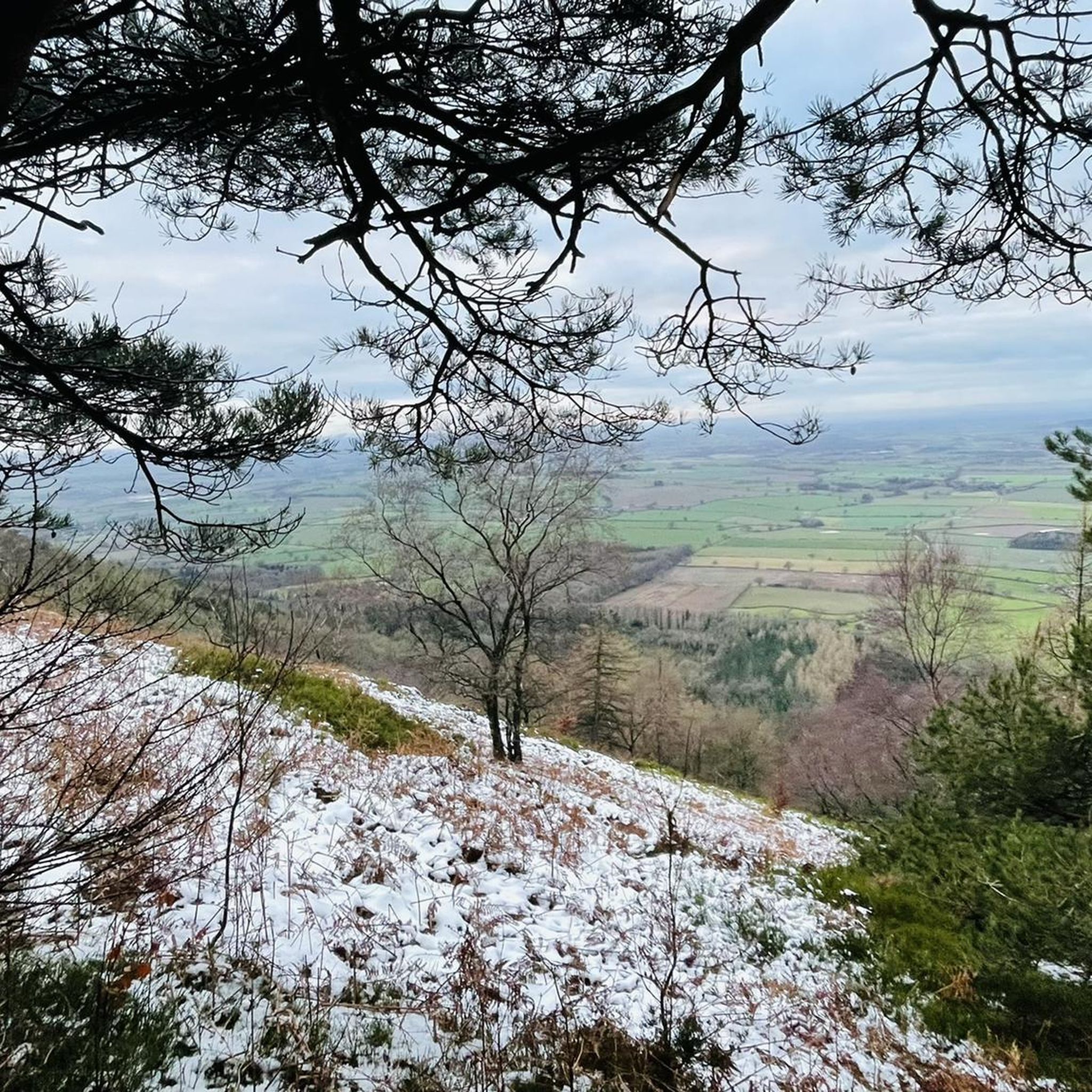
The last few metres are hike-a-bike, but it's well worth the climb up to this monument erected by a local lord in memory of his father in the early 19th century. The monument itself is monolithic rather than pretty, but the 360-degree panorama is stunning - on a clear day you can see The Wrekin, The Long Mynd, and over the border into Wales.
0
0

On top of Wrekin showing distances to surrounding places, touch to tick you have been here.
1
0
Frequently Asked Questions
What are the most prominent elevated features around Preston Upon The Weald Moors?
While Preston Upon The Weald Moors is primarily a low-lying wetland area, the broader Shropshire region features significant elevated points. The most notable is The Wrekin summit, which offers spectacular views and is home to an Iron Age hill fort. Other key features include The Wrekin Hillfort, a historical viewpoint, and Needle's Eye, The Wrekin, a unique natural rock formation.
Are there historical sites on the peaks around Preston Upon The Weald Moors?
Yes, the elevated features in the area are rich in history. The Wrekin Hillfort is a significant Iron Age hill fort, once home to the Cornovii tribe and later stormed by the Romans. The summit of The Wrekin also hosts the Wellington Rotary Toposcope, a man-made monument commemorating Queen Elizabeth II’s Silver Jubilee.
What kind of views can I expect from the elevated points in the region?
From prominent points like The Wrekin summit, you can expect spectacular panoramic views of the surrounding Shropshire countryside. The Wrekin is a well-known landmark, and its elevation allows for expansive vistas in good weather.
Are there family-friendly hiking options near Preston Upon The Weald Moors?
Yes, the area offers various hiking trails suitable for different abilities. For example, the main path up The Wrekin from the Forest Glen car park is well-surfaced and easy to follow, making it a popular choice. You can find more hiking routes, including easy options, by exploring the Hiking around Preston Upon The Weald Moors guide.
What natural features can be explored in the vicinity of these peaks?
Beyond the summits themselves, you can explore natural monuments like Needle's Eye, The Wrekin, a distinctive gap in a rocky outcrop. Additionally, The Ercall Bluebell Woods, a small hill north of The Wrekin, is known for its exceptional bluebell displays in spring and diverse wildlife.
What outdoor activities are available near Preston Upon The Weald Moors?
The region offers a variety of outdoor activities. You can find numerous routes for hiking, cycling, and gravel biking. These guides feature routes of varying difficulties, from easy loops to more challenging trails, allowing you to explore the local landscape.
What do visitors enjoy most about the elevated areas near Preston Upon The Weald Moors?
Visitors frequently praise the spectacular views from spots like The Wrekin summit and the rich history associated with sites like The Wrekin Hillfort. The challenging yet manageable climbs, beautiful natural surroundings, and the unique experience of passing through features like Needle's Eye are also highly appreciated.
Are there any unique geological formations to see?
Yes, Needle's Eye, The Wrekin is a notable natural monument. It's a distinctive gap in a large rocky outcrop atop The Wrekin, offering a unique experience for those who pass through it. Local folklore even suggests you're not a 'true Salopian' until you've walked through it.
Where can I find information about cycling routes in the area?
You can explore various cycling routes, including easy and moderate options, in the Cycling around Preston Upon The Weald Moors guide. Routes like the 'Lilleshall Abbey – Pond loop' and 'View of The Wrekin (West Side) – Coalport Bridge loop' are popular choices.
What is the significance of The Ercall?
The Ercall Bluebell Woods is a small hill located immediately north of The Wrekin. Once extensively quarried, it is now a beautiful woodland area known for its exceptional bluebell displays in spring. It's a wonderful place for rambling and is rich in plant life, attracting many birds and insects.
What is the best time of year to visit for bluebells?
If you wish to see the bluebells, the spring season is the best time to visit The Ercall Bluebell Woods. The woodlands are particularly vibrant during this period, offering a beautiful natural spectacle.
Are there any specific tips for hiking The Wrekin?
When hiking The Wrekin, the main path from the Forest Glen car park is well-surfaced. The start of the trail is the steepest section, so pacing yourself is advisable. For a longer walk, you can approach from Wellington through the Ercall woods, or from Little Wenlock or Ironbridge. Be aware that parking can be limited on the south side of The Wrekin.
Most popular routes around Preston Upon The Weald Moors
Most popular attractions around Preston Upon The Weald Moors

Get inspired with the komoot mobile app


Explore more
See even more amazing summits around Preston Upon The Weald Moors with these guides:
