The best cycling routes around West Bretton
4.5
(356)
4,930
riders
312
rides
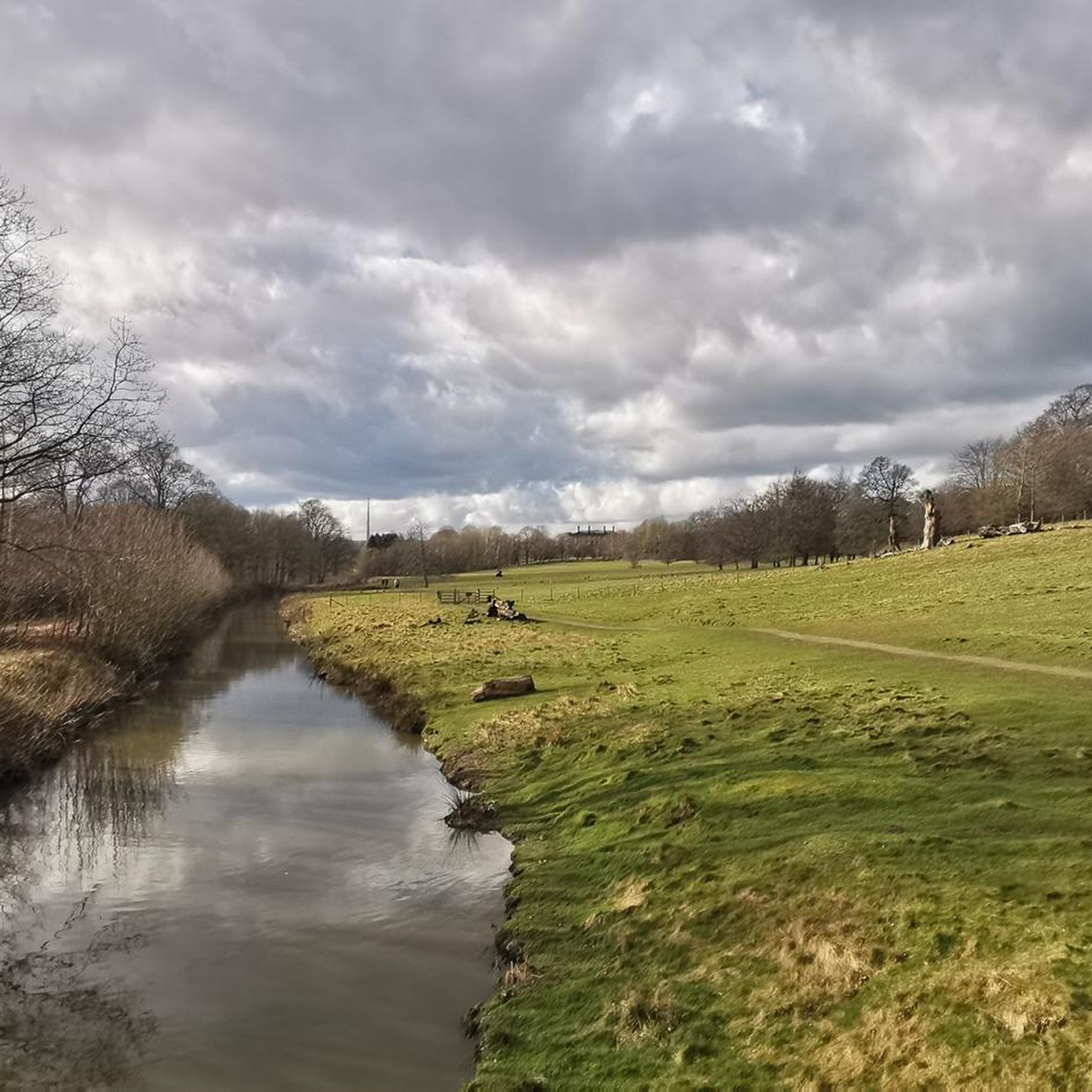
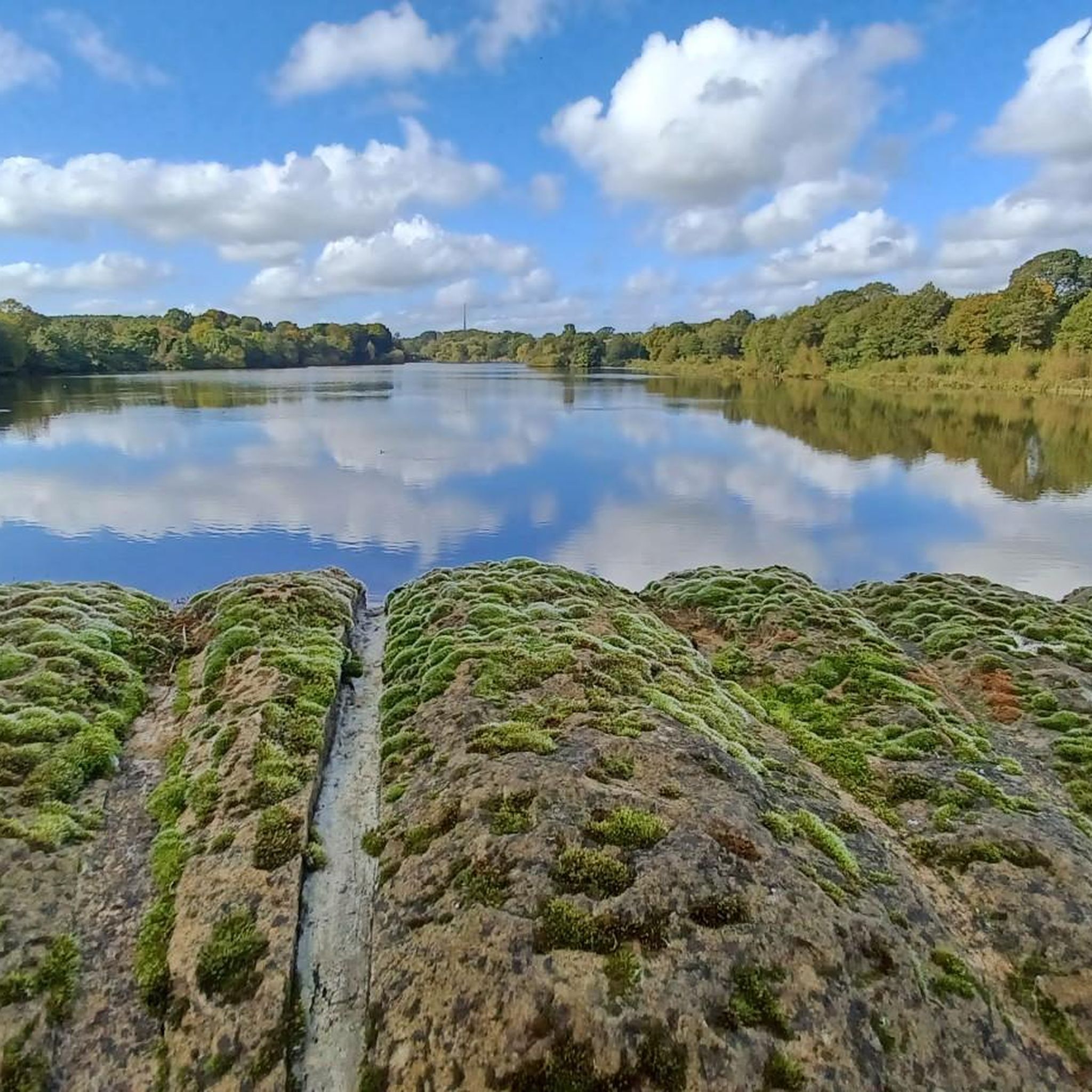
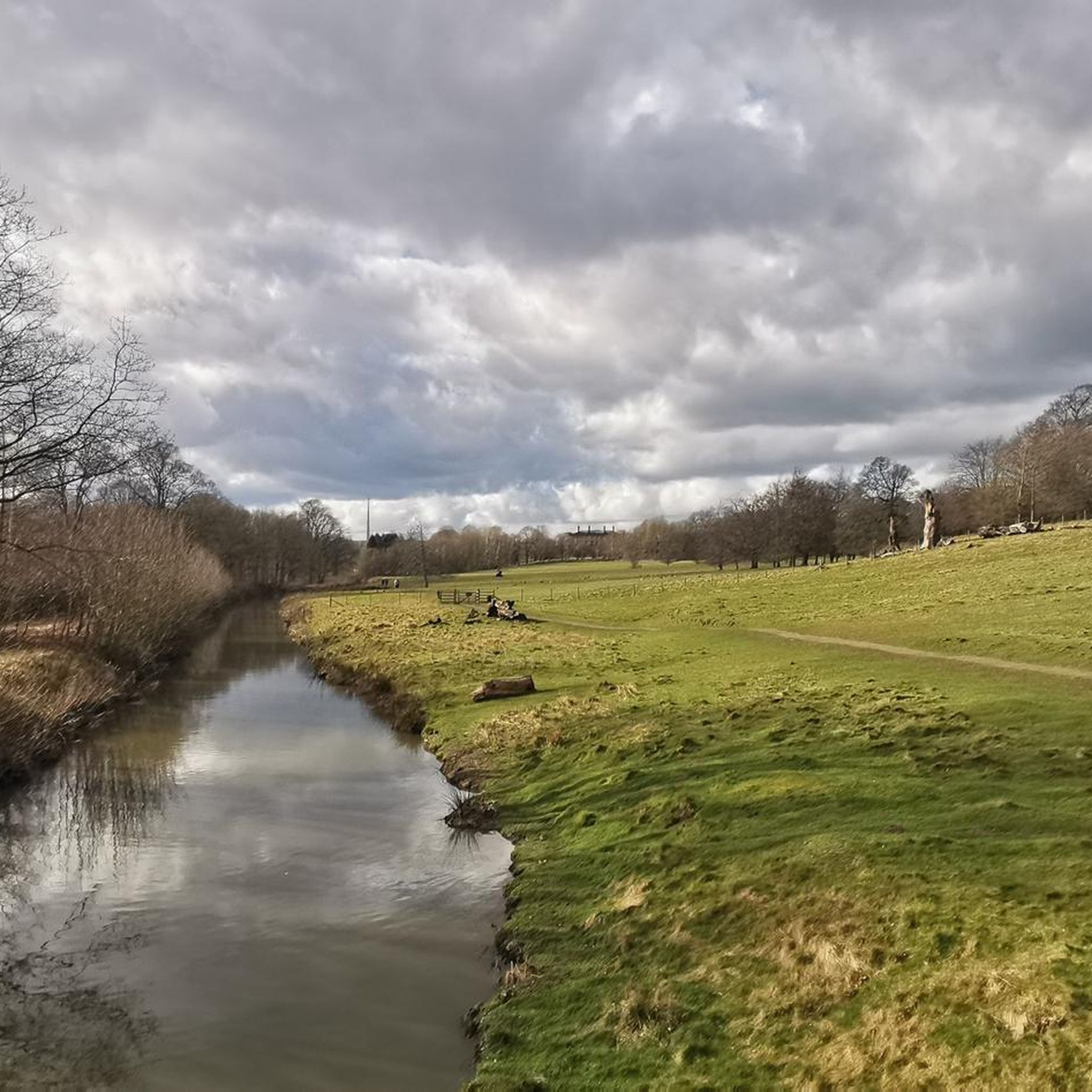
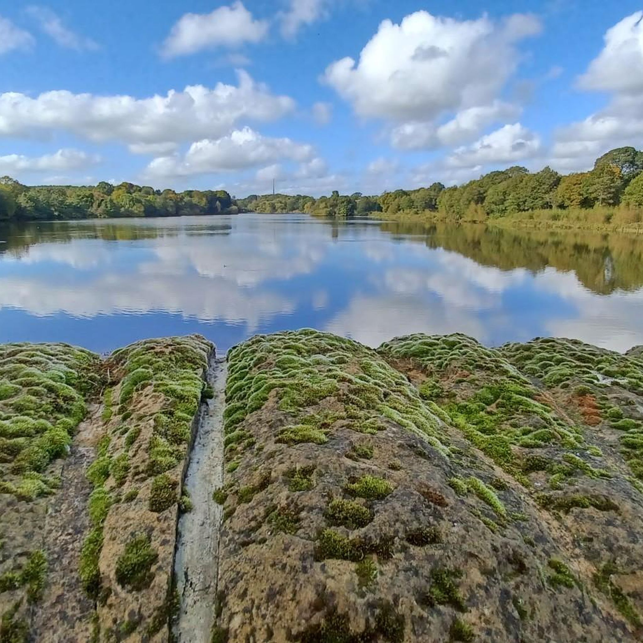
Touring cycling routes around West Bretton navigate a landscape characterized by hilly terrain, with elevations ranging from 400 to 499 feet (122 to 152 meters) above sea level. The area features the River Dearne, which flows through Bretton Park, forming two lakes. Woodlands, meadows, and millstone grit outcrops contribute to the varied scenery. This geology, influenced by Carboniferous coal seams, provides diverse backdrops for cycling.
Best touring cycling routes around West Bretton
- The most popular touring cycling route is Newmillerdam…
Last updated: May 14, 2026
4.4
(5)
158
riders
70.2km
05:06
650m
650m
Hard bike ride. Very good fitness required. Mostly paved surfaces. Suitable for all skill levels.
5.0
(5)
44
riders
20.4km
01:43
140m
140m
Easy bike ride. Great for any fitness level. Mostly paved surfaces. Suitable for all skill levels.

Sign up for free
5.0
(3)
38
riders
19.0km
01:29
130m
130m
Easy bike ride. Great for any fitness level. Mostly paved surfaces. Suitable for all skill levels.
5.0
(4)
24
riders
Moderate bike ride. Good fitness required. Mostly paved surfaces. Suitable for all skill levels.
16
riders
44.6km
03:01
560m
560m
Hard bike ride. Very good fitness required. Mostly paved surfaces. Suitable for all skill levels.
Get access to more routes and recommendations from other explorers.
Sign up for free
Already have an account?
Our route recommendations are based on thousands of hikes, rides, and runs completed by other people on komoot.
Start today with a free account
Your next adventure awaits.
Login or Signup
Tips from the Community


One of my favourite places. Make sure you follow the signs over the bridge to pick up the canal again, otherwise you could end up on the railway track. hahahahahhahahha yep I did that hahahahahhaha
0
0

Stanley Ferry Marina is a charming spot located along the Aire and Calder Navigation. One quirky highlight at the marina is the life-sized stuffed figure known as "Stan," who sits in a chair outside the café.
0
0

This site used to be one of the deepest Cole mines in the country, reaching over 250 feet (76 m) below the surface. Once the mines closed the area was rejuvenated and rewilded with the lake, wetland, grasslands and woods creating a diverse habitat for many species of flora and fauna. There are several trails, a children's playground, café and visitor centre.
0
0
The Barnsley Canal ran for 14.5 miles (23.3 km), from Barnby Basin, to a junction with the Aire and Calder Navigation. The canal was closed in 1953. Work is underway to re-open the canal as a leisure waterway, but some diversions will need to be created. In the meantime, the towpath remains a nice level trail.
0
1

Horbury is a quaint Yorkshire town with a rich industrial history and set in scenic surroundings. It is distinguished by its old architecture, predominantly stone buildings, churches, and quaint cottages. It is particularly noted for its famous town bridge that goes over the River Calder and the 18th-century churches of St Peter and St Leonard’s. In addition, it has trails and footpaths that are available for walkers and cyclists that run along the river and the adjoining Calder and Hebble Navigation Canal.
1
0
The pubs a nice place to have a drink or something to eat after you ride
0
0
My favourite place to begin rides. There are tracks and trails to lots of different places. There are lots of interesting things to visit and see.
0
0
Frequently Asked Questions
How many touring cycling routes are available around West Bretton?
There are over 300 touring cycling routes around West Bretton, offering a wide variety of options for cyclists of all abilities. The komoot community has rated these routes highly, with an average score of 4.5 stars.
What kind of terrain can I expect on touring cycling routes in West Bretton?
The terrain around West Bretton is characterized by hilly landscapes, with elevations typically ranging from 122 to 152 meters (400 to 499 feet) above sea level. You'll encounter a mix of woodlands, vast meadows, and scenic areas around the River Dearne and its two picturesque lakes within Bretton Park. The routes often feature varied gradients, providing both challenging climbs and more relaxed sections.
Are there any easy touring cycling routes suitable for beginners or a relaxed ride?
Yes, West Bretton offers several easy routes. For a more relaxed ride exploring wooded areas and local lakes, consider the Newmillerdam Woods Trail – Haw Park Woods loop from Chevet, which is 12.6 miles (20.4 km) long. Another easy option is the Newmillerdam Woods Trail loop from Crigglestone, covering 11.6 miles (18.7 km) through Newmillerdam Woods.
What are some challenging touring cycling routes for experienced riders?
For experienced cyclists seeking a challenge, West Bretton has routes with significant elevation gains. The Newmillerdam Woods Trail – Haw Park Woods loop from Darton is a difficult 43.6 miles (70.2 km) route that traverses extensive woodlands and features considerable elevation changes. Another difficult option is the Wooley Edge Viewpoint – Bird Hide loop from Emley, which is 44.6 miles (71.8 km) long with over 550 meters of ascent.
What attractions or landmarks can I see along the touring cycling routes?
Many routes offer access to notable attractions. The Yorkshire Sculpture Park, located within Bretton Country Park, is a major draw, showcasing contemporary sculptures in a natural setting. While cycling isn't permitted inside, bike racks are available at entrances. You can also discover historical features like Lady Eglinton’s Well and the Shell Grotto within the park. Other highlights include Newmillerdam Lake and the Barnsley Canal Trail.
Are there any circular touring cycling routes in the area?
Yes, many touring cycling routes around West Bretton are designed as loops, allowing you to start and end at the same point. Examples include the Haw Park Woods – Barnsley Canal Towpath loop from Yorkshire Sculpture Park, a moderate 20.6 miles (33.2 km) ride, and the various loops around Newmillerdam Woods mentioned previously.
What do other touring cyclists enjoy most about cycling in West Bretton?
The area is highly rated by the komoot community, with an average score of 4.5 stars from over 300 reviews. Reviewers often praise the diverse landscapes, including quiet woodlands and scenic lakes, as well as the variety of routes that cater to different fitness levels. The combination of natural beauty and cultural attractions like the Yorkshire Sculpture Park is also frequently highlighted.
Are there any family-friendly cycling options in West Bretton?
While specific family-friendly routes are not detailed in the provided data, the presence of easy routes like the Newmillerdam Woods Trail – Haw Park Woods loop from Chevet suggests options suitable for families. The well-surfaced path around Newmillerdam Lake is also noted as suitable for various users, which could include families with children.
Is public transport available to reach cycling routes in West Bretton?
West Bretton is accessible by public transport, particularly bus routes connecting from nearby towns like Wakefield. Cyclists can use these services to reach the village and access various trailheads. It's advisable to check local bus schedules for specific routes and bike carriage policies.
Where can I find parking for cycling routes near West Bretton?
Parking is generally available at key access points for popular routes and attractions. For instance, if you plan to cycle near the Yorkshire Sculpture Park, parking facilities are available there. For routes starting from villages like Darton, Chevet, or Crigglestone, local parking options would typically be available, though it's always good to check specific starting points for designated cyclist parking.
What is the best time of year to go touring cycling in West Bretton?
West Bretton offers enjoyable cycling throughout much of the year. Spring and autumn provide pleasant temperatures and beautiful scenery with changing foliage. Summer is also popular, though routes can be busier. While winter cycling is possible, be prepared for potentially colder, wetter conditions and check route conditions, especially on unpaved sections, as the hilly terrain can be more challenging in adverse weather.
Most popular routes around West Bretton
Most popular attractions around West Bretton

Get inspired with the komoot mobile app


Explore more
Browse the best Cycling routes in other regions.
