The best running trails around Sandy Lane
4.6
(60)
13,682
runners
709
runs
Jogging routes around Sandy Lane offer a diverse landscape for runners, characterized by rolling hills, wooded areas, and open countryside. The region features a network of trails that traverse local villages and natural spaces, including wetland areas and historical structures like viaducts. Elevation changes are moderate, providing varied terrain suitable for different fitness levels.
Best jogging routes around Sandy Lane
- The most popular jogging route is Running loop from Cottingley, a 5.0 miles (8.1 km) trail that takes about…
Last updated: July 5, 2026
26
runners
9.85km
01:04
180m
180m
Moderate run. Good fitness required. Mostly paved surfaces. Suitable for all skill levels.
12
runners
8.13km
00:53
160m
160m
Moderate run. Good fitness required. Mostly paved surfaces. Suitable for all skill levels.

Sign up for free
11
runners
6.75km
00:43
120m
120m
Moderate run. Good fitness required. Mostly paved surfaces. Suitable for all skill levels.
10
runners
8.66km
00:56
160m
160m
Moderate run. Good fitness required. Mostly paved surfaces. Suitable for all skill levels.
8
runners
5.82km
00:40
50m
50m
Moderate run. Good fitness required. Mostly paved surfaces. Suitable for all skill levels.
Get access to more routes and recommendations from other explorers.
Sign up for free
Already have an account?
Our route recommendations are based on thousands of hikes, rides, and runs completed by other people on komoot.
Start today with a free account
Your next adventure awaits.
Login or Signup
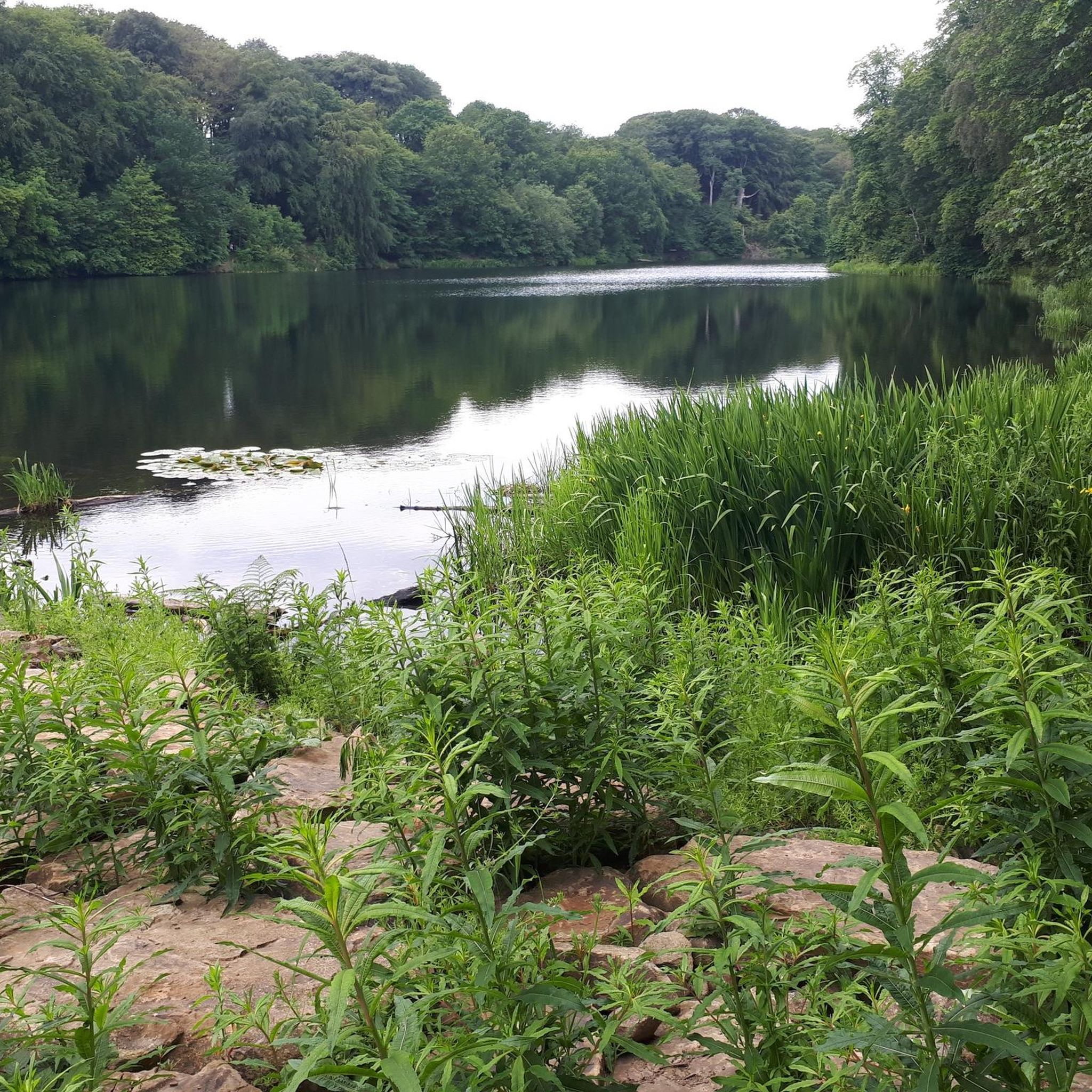
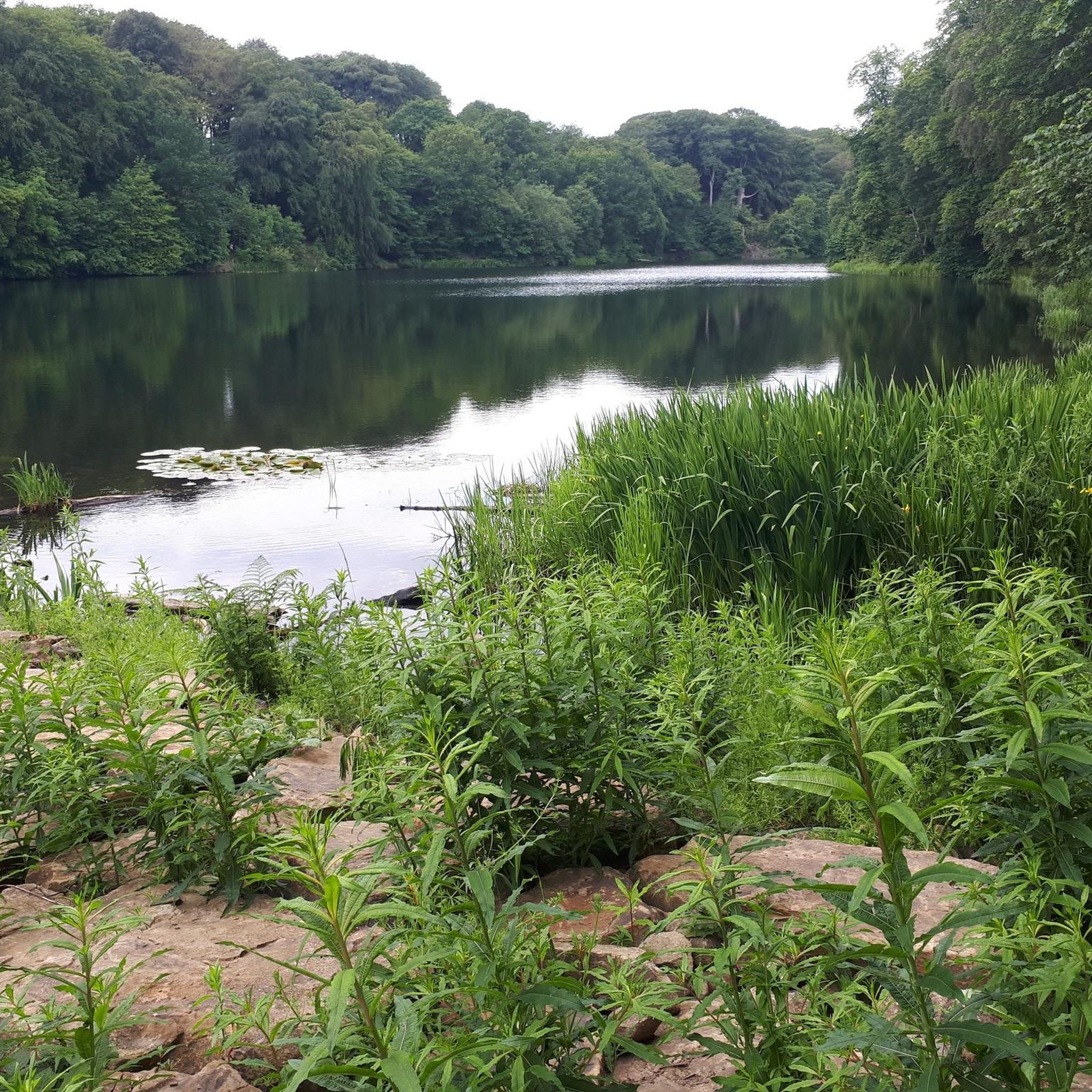
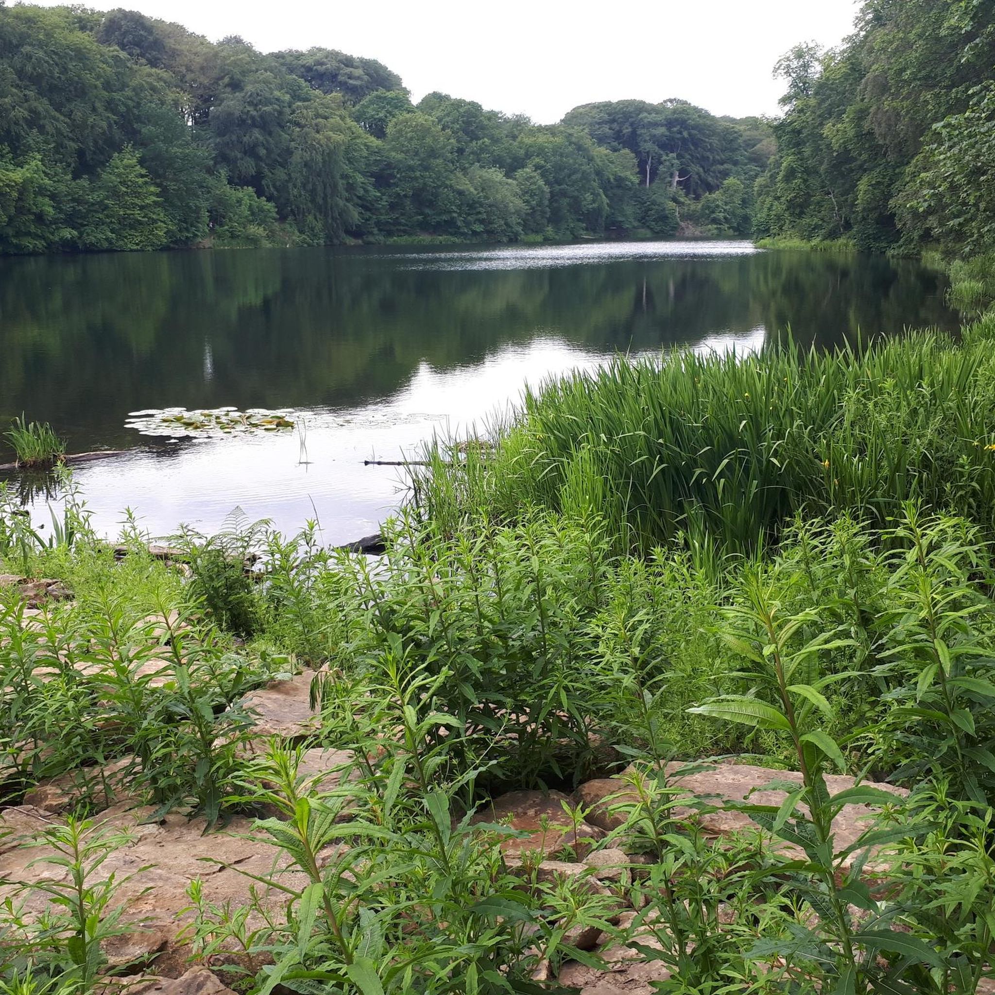
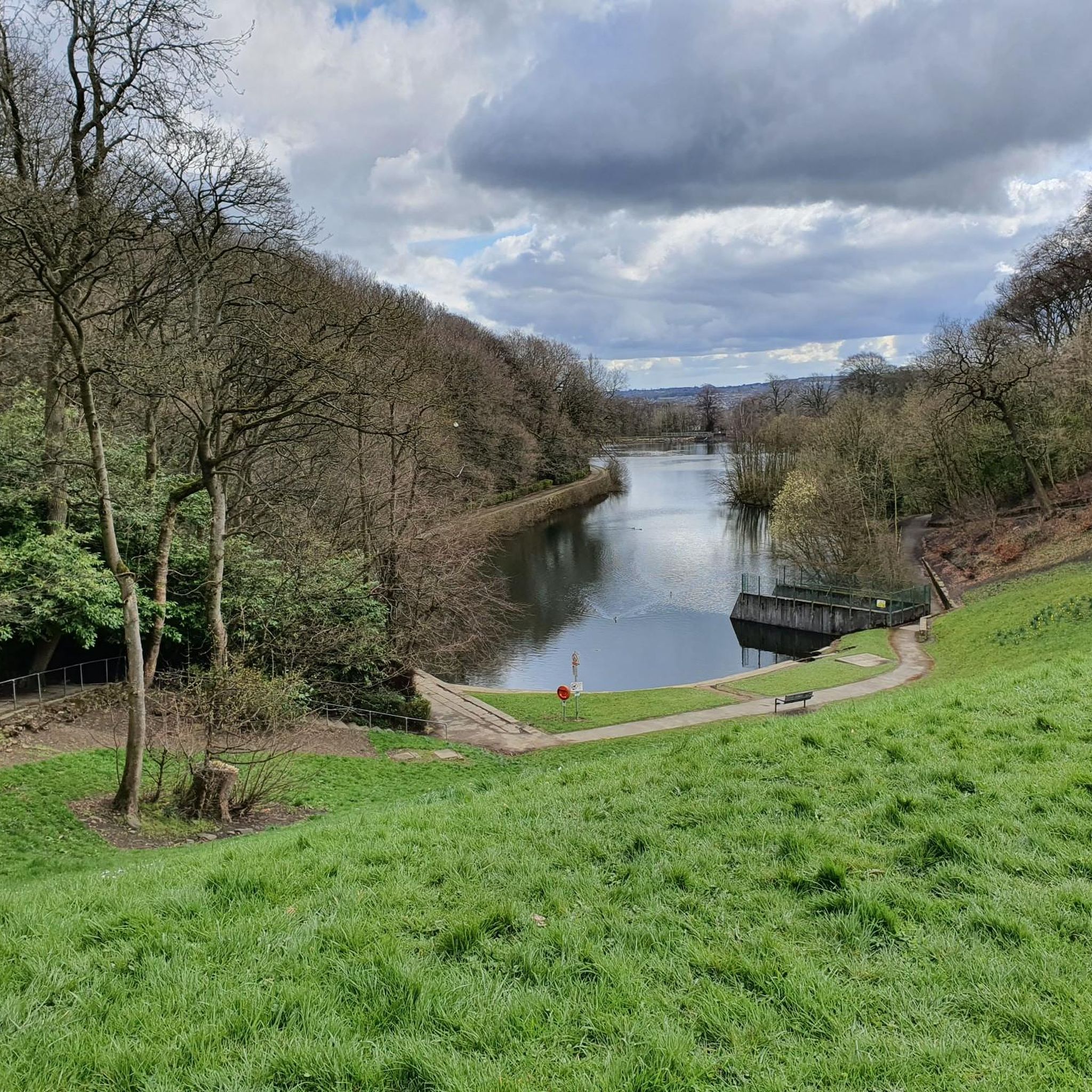

Tips from the Community


About the Hewenden Viaduct: A good example of Victorian Engineering; this is one of the tallest viaducts in Britain. This railway link between Keighley and Thornton was crucial to the booming textile industry of the Pennine foothills. Train traffic stopped in the 60's and the viaduct was re-opened to pedestrians and cyclists in 2005.
0
0

This takes you on the other half the the Thornton Great Northern trail
0
0

Originally built as a railway viaduct, and opened in 1883, Hewenden is today a Grade II-listed structure being one of the highest viaducts in Britain.The Great Northern Railway Trail, for walkers and cyclists, now runs over its span.
0
0
Hi Nina, try this group… www.bradfordramblers.org.uk
0
0

This memorial commemorates the residents of Cullingworth who were killed or missing in World War I (47 names) and World War II (9 names)
0
0
I am in Bradford and new here, since two months ago I am in uk… I do like to know new people and find a friend and do love hiking and walking. But I don’t have any bike or car to join people… and I don’t know any body…do you have any idea for me???
0
0

It's a nice experience to went Goit-stack waterfall my only suggestion is to go there in summer time around may it makes 2 times more beautiful.
0
1
Frequently Asked Questions
How many running routes are available around Sandy Lane?
There are over 700 running routes in the Sandy Lane area, offering a wide variety of options for different fitness levels and preferences. The komoot community has explored these trails extensively, with over 13,000 runners using the platform to discover the region.
Are there easy running routes suitable for beginners in Sandy Lane?
Yes, Sandy Lane offers a good selection of easy running routes perfect for beginners. For example, the Daffodils at Chellow Dene – Wetland Area with Reeds loop from Sandy Lane is an easy 2.3-mile (3.7 km) trail that takes about 25 minutes to complete, winding through a distinct wetland area.
Are there circular running routes in the Sandy Lane area?
Many of the running routes around Sandy Lane are circular, allowing you to start and finish at the same point. A popular option is the Running loop from Cottingley, which is 5.0 miles (8.1 km) and takes about 50 minutes, traversing local woodlands and open fields.
What kind of terrain can I expect on the running trails near Sandy Lane?
The running trails around Sandy Lane feature diverse terrain, including rolling hills, wooded areas, and open countryside. You'll encounter a mix of paths that traverse local villages, natural spaces, and wetland areas. Elevation changes are generally moderate, providing varied challenges suitable for different running styles.
Are there any running routes that feature historical landmarks or interesting sights?
Yes, some routes offer views of historical structures. The Hewenden Viaduct – Hewenden Viaduct loop from Wilsden is a moderate 5.4-mile (8.7 km) path that provides excellent views of the historic Hewenden Viaduct and the surrounding countryside.
What do other runners enjoy most about the trails in Sandy Lane?
The running routes in Sandy Lane are highly rated by the komoot community, with an average score of 4.6 stars from over 50 reviews. Runners often praise the varied terrain, from quiet woodlands to open fields, and the well-maintained paths that offer options for all ability levels.
Are there any waterfalls or scenic natural attractions along the running routes?
While not directly on every running route, the Sandy Lane area is close to several beautiful waterfalls. You can find stunning spots like Goit Stock Falls and The Glen Woodland and Stream, which are popular highlights in the region and can be incorporated into longer runs or visited separately.
Are the running trails around Sandy Lane dog-friendly?
Many of the trails in the Sandy Lane area are suitable for running with dogs, especially those through woodlands and open fields. However, it's always advisable to keep dogs on a leash, particularly near livestock or in nature reserves, and to check local signage for any specific restrictions.
What are some good running routes for families with children?
For families, routes with gentler gradients and shorter distances are ideal. The Daffodils at Chellow Dene – Wetland Area with Reeds loop from Sandy Lane is an excellent choice, being an easy 2.3-mile (3.7 km) loop through an interesting wetland area that's manageable for younger runners.
Are there running routes with good viewpoints in the Sandy Lane area?
Yes, the region's rolling hills offer several spots with rewarding views. While specific viewpoints might vary by route, many trails provide panoramic vistas of the surrounding countryside. For dedicated viewpoints, consider exploring nearby highlights like Odd Moor Summit or Baildon Moor Trig Point, which can be accessed via connecting trails.
Is there parking available near the running routes in Sandy Lane?
Parking availability varies by trailhead. Many routes start from villages or residential areas where street parking might be an option, or from designated car parks for local parks and natural areas. It's recommended to check the specific route details on komoot for parking suggestions at the starting point of your chosen run.
Can I reach the running trails around Sandy Lane using public transport?
The Sandy Lane area is generally accessible by public transport, with local bus services connecting to nearby towns and villages. Many running routes start from these villages, making it possible to reach trailheads without a car. Check local bus schedules for the most convenient stops near your desired starting point.
Most popular attractions around Sandy Lane

Get inspired with the komoot mobile app


Explore more
Browse the best Running Trails & Routes in other regions.
