The best road cycling routes around Uphall Station
4.6
(53)
4,486
riders
16
rides
Road cycling around Uphall Station offers diverse landscapes, characterized by rolling countryside, tranquil canal paths, and hills. The region features an extensive cycling network, including sections of National Cycle Routes 75 and 76, providing varied terrain for cyclists. Elevation gain on routes can range from gentle ascents along waterways to more significant climbs in areas like the Bathgate Hills. This blend of features caters to different skill levels, from easy, flat rides to more challenging routes.
Best road cycling routes…
Last updated: July 5, 2026
38
riders
93.0km
04:11
850m
850m
Moderate road ride. Good fitness required. Some segments of this route may be unpaved and difficult to ride.
3.0
(1)
85
riders
43.2km
01:55
380m
380m
Moderate road ride. Good fitness required. Some segments of this route may be unpaved and difficult to ride.

Sign up for free
18
riders
98.1km
04:24
830m
830m
Moderate road ride. Good fitness required. Some segments of this route may be unpaved and difficult to ride.
9
riders
33.8km
01:45
400m
400m
Moderate road ride. Good fitness required. Mostly well-paved surfaces and easy to ride.
7
riders
25.6km
01:15
210m
210m
Easy road ride. Great for any fitness level. Mostly well-paved surfaces and easy to ride.
Get access to more routes and recommendations from other explorers.
Sign up for free
Already have an account?
Our route recommendations are based on thousands of hikes, rides, and runs completed by other people on komoot.
Start today with a free account
Your next adventure awaits.
Login or Signup
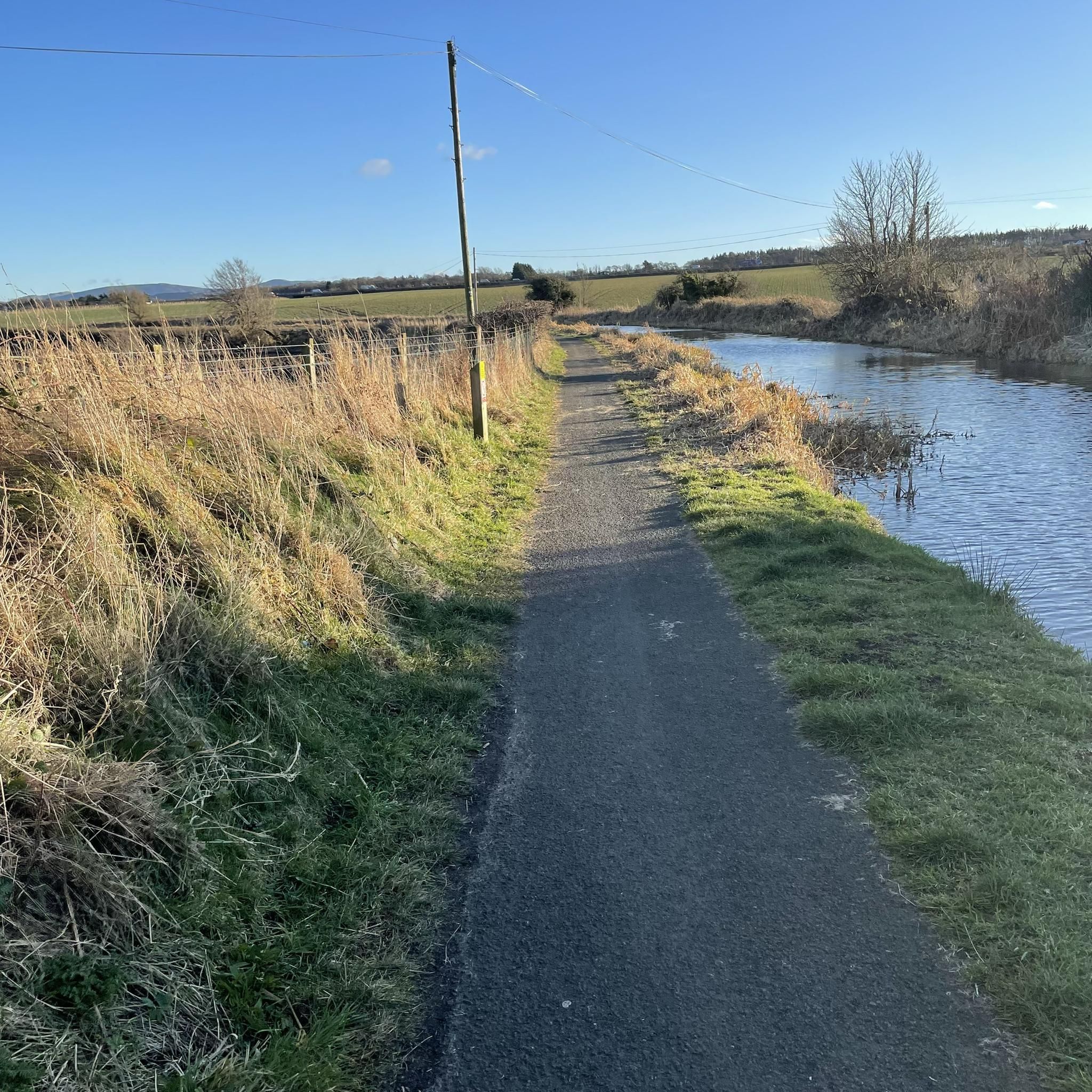

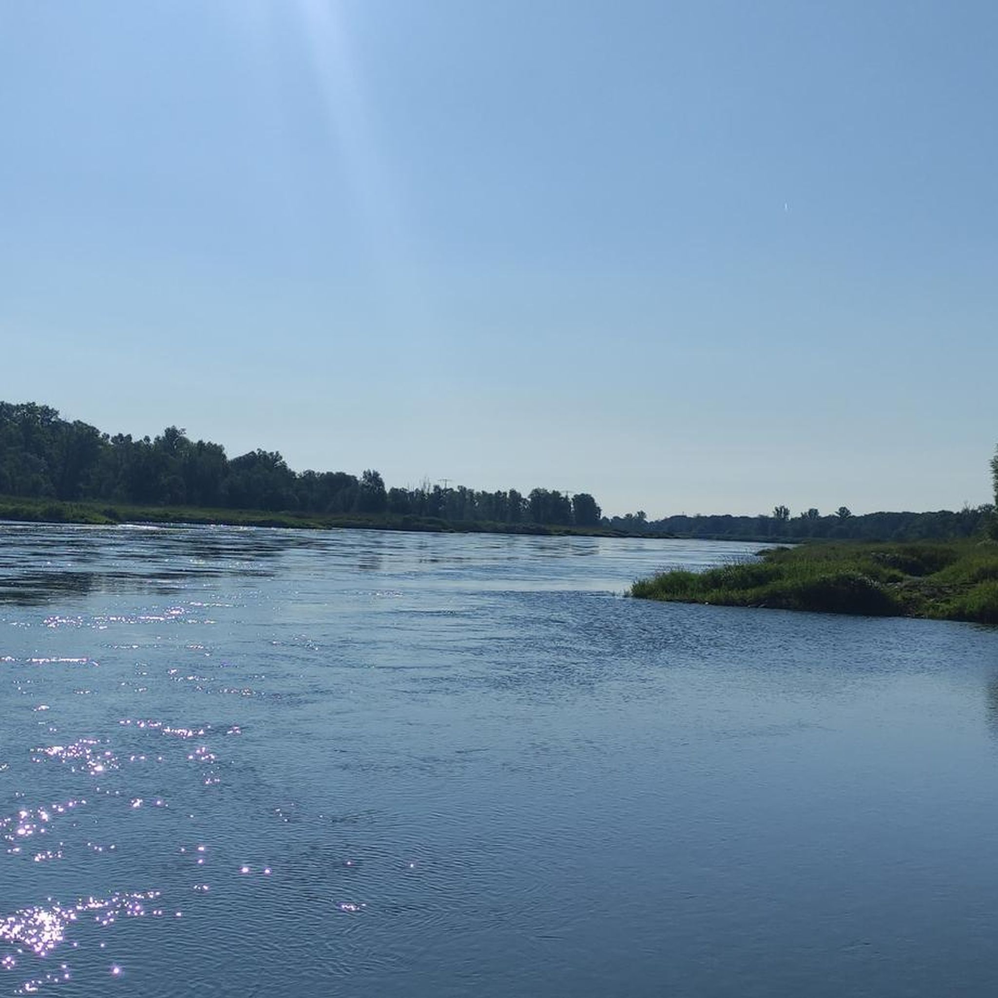
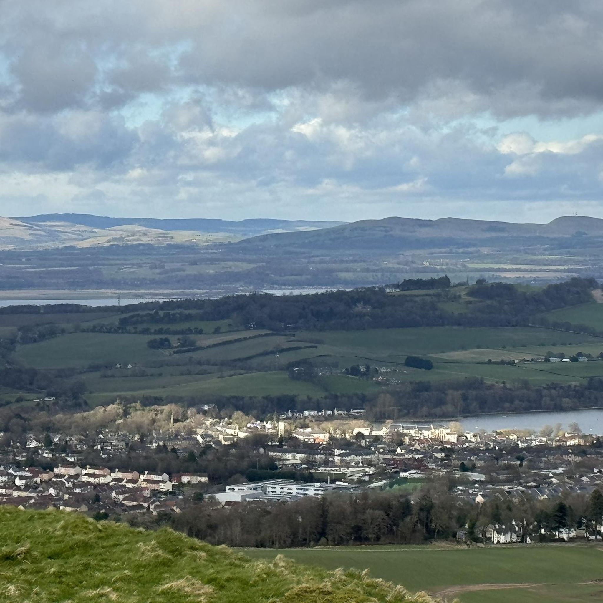
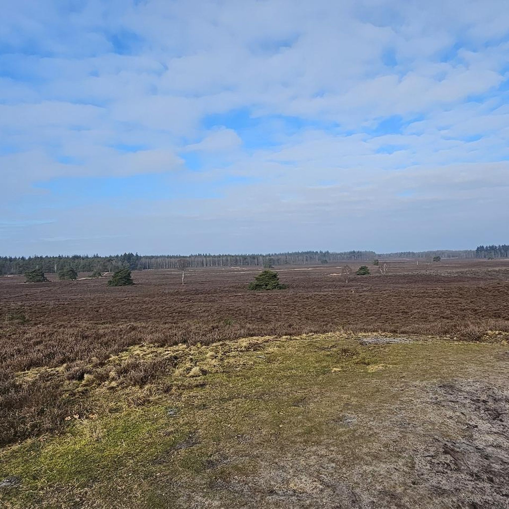
Tips from the Community

I’d say this is actually one of the harder climbs in the Bathgate Alps, it just keeps going up with very little let up. You think it’s going to end but nope, it just keeps going. It can be one of the busier ones with traffic as well so keep that in mind. I often avoid this one!
1
0

Choices, choices, plenty of little gems for stocking up or sitting outside and enjoying the calm.
0
0

A great place in middle of nowhere when a coffee break and cheese toast is essential in middle of long ride. Cheese Toastie's is the highlight of this place.
0
0
Really nice gentle climb into the Bathgate Alps
0
0

Calm & cool spot to stop & catch a breath - much better when it's on your right & the wind is with you, than when it's on your left & the endless wind is against you. Beautiful none the less.
0
0

Lovely winding road to Harburn, and then a kick up to join the Lang Wang
0
0
Frequently Asked Questions
How many road cycling routes are available around Uphall Station?
There are over 15 road cycling routes around Uphall Station, offering a variety of distances and difficulty levels. The komoot community has explored more than 200 routes in the area.
What kind of terrain can I expect when road cycling near Uphall Station?
Uphall Station offers diverse road cycling terrain. You'll find flat, traffic-free paths, particularly along the Union Canal Towpath, ideal for relaxed rides. For those seeking a challenge, the Bathgate Hills provide testing climbs, such as on Preston Road from Linlithgow or the steep ascent at Kingscavil.
Are there any easy road cycling routes suitable for beginners or families?
Yes, Uphall Station has several easy road cycling routes. The Union Canal Towpath is a major highlight, offering a flat and traffic-free experience. Routes like the "Llama Field Road – Burnhouse Road, Bathgate Alps loop from Uphall" are also rated as easy, providing a gentler introduction to the area's cycling.
Where can I find challenging road cycling routes with significant elevation gain?
For challenging rides, head towards the Bathgate Hills. Areas like Preston Road from the south of Linlithgow and the Ballencrieff climb west of Bathgate sports centre are known for their testing ascents. The "Biggar High Street – Wind Turbines Near Woolfords loop from Uphall" is a longer, moderate route with over 850 meters of elevation gain.
What landmarks or natural features can I see along the road cycling routes?
Road cycling routes around Uphall Station pass by various points of interest. You can cycle past impressive aqueducts like the Avon and Almond Aqueducts along the Union Canal. Routes also offer views of the Forth Road and Rail Bridges, and you might encounter natural features such as Cockleroy Hill Summit or Cairnpapple Hill. Historic sites like Linlithgow Palace are also accessible from some routes.
Are there any circular road cycling routes starting from Uphall Station?
Yes, many road cycling routes around Uphall Station are designed as loops. Examples include the "Elizabeth Yard Climb – Forth Bridge loop from Uphall" and the "Union Canal Monument – Nasmyth Bridge loop from Uphall," both offering scenic circular rides.
What is the best time of year to go road cycling in Uphall Station?
The best time for road cycling in Uphall Station is generally from spring through autumn, when the weather is milder and daylight hours are longer. While cycling is possible year-round, be prepared for varied weather conditions, especially during winter months.
How can I access road cycling routes in Uphall Station using public transport?
Uphall Station is well-connected by public transport, making it easy to access cycling routes. The region is part of National Cycle Route 75, which connects Glasgow and Edinburgh, offering opportunities to combine cycling with train travel. Linlithgow, a key point on the Union Canal, also has a train station for convenient access.
Are there cafes or refreshment stops along the road cycling routes?
Yes, many routes, especially those along the Union Canal Towpath, pass through towns like Linlithgow and Broxburn, which offer ideal spots for café stops. You'll find various amenities in these towns to refuel during your ride.
What do other road cyclists enjoy most about cycling in Uphall Station?
The area is highly rated by the komoot community, with an average score of 5.0 stars. Reviewers often praise the diverse landscapes, from the peaceful canal towpaths to the challenging climbs, and the extensive cycling network that caters to all abilities.
Where can I find detailed maps of cycling routes in West Lothian?
West Lothian Council provides detailed cycle maps for areas including Uphall and Broxburn, which indicate cycle paths, traffic-free shortcuts, and quieter streets suitable for cycling. You can find more information on their website: westlothian.gov.uk.
Are there any dedicated cycling facilities in the Uphall Station area?
Yes, West Lothian is home to the West Lothian Cycle Circuit in Linlithgow. This is a world-class 1km tarmac, traffic-free circuit designed for year-round use, catering to everyday cycling, all-ability cycling, and sport cycling in a safe environment.
Most popular attractions around Uphall Station

Get inspired with the komoot mobile app


Explore more
Browse the best Road cycling routes in other regions.
