The best running trails around Jackton And Thorntonhall
4.3
(95)
10,308
runners
18
runs
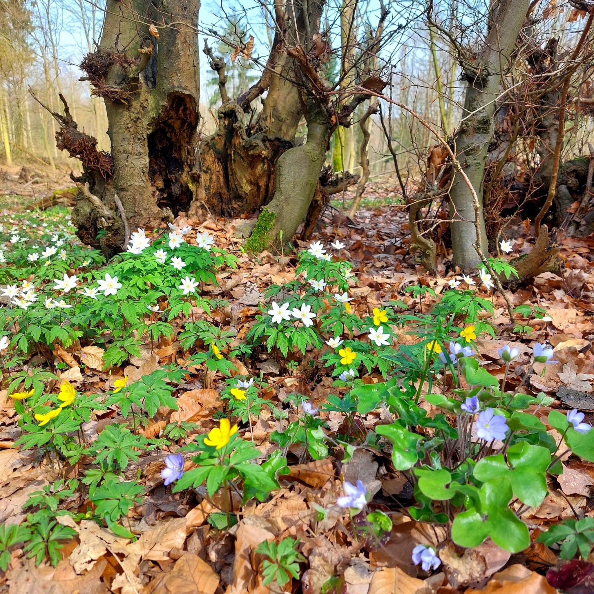
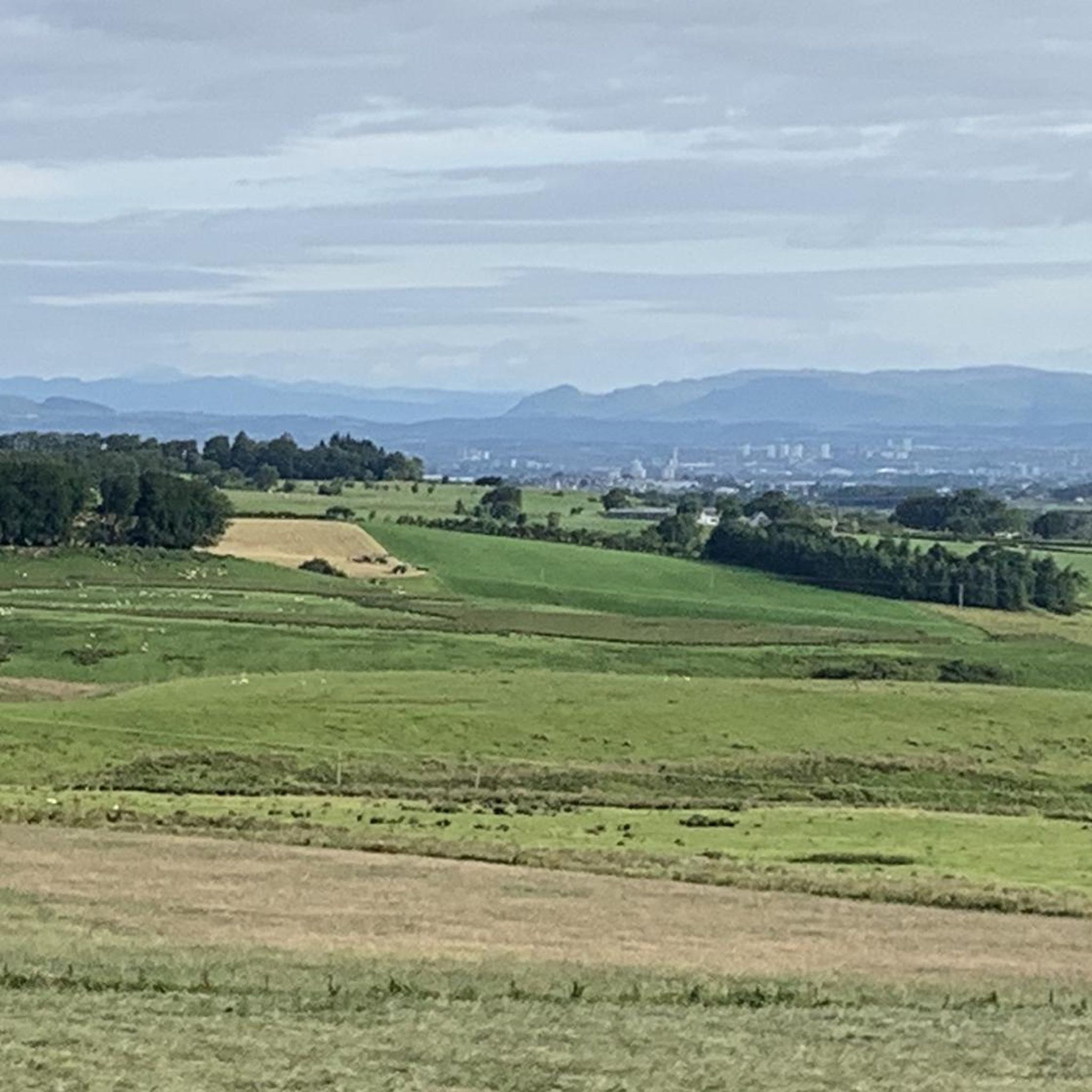
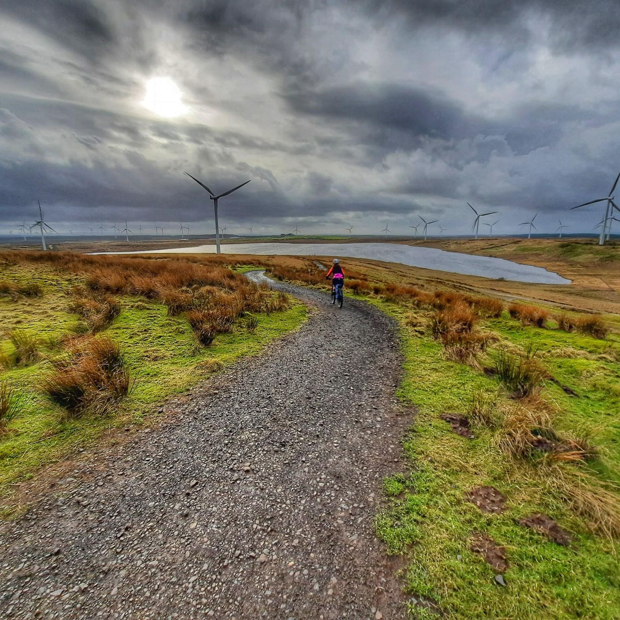
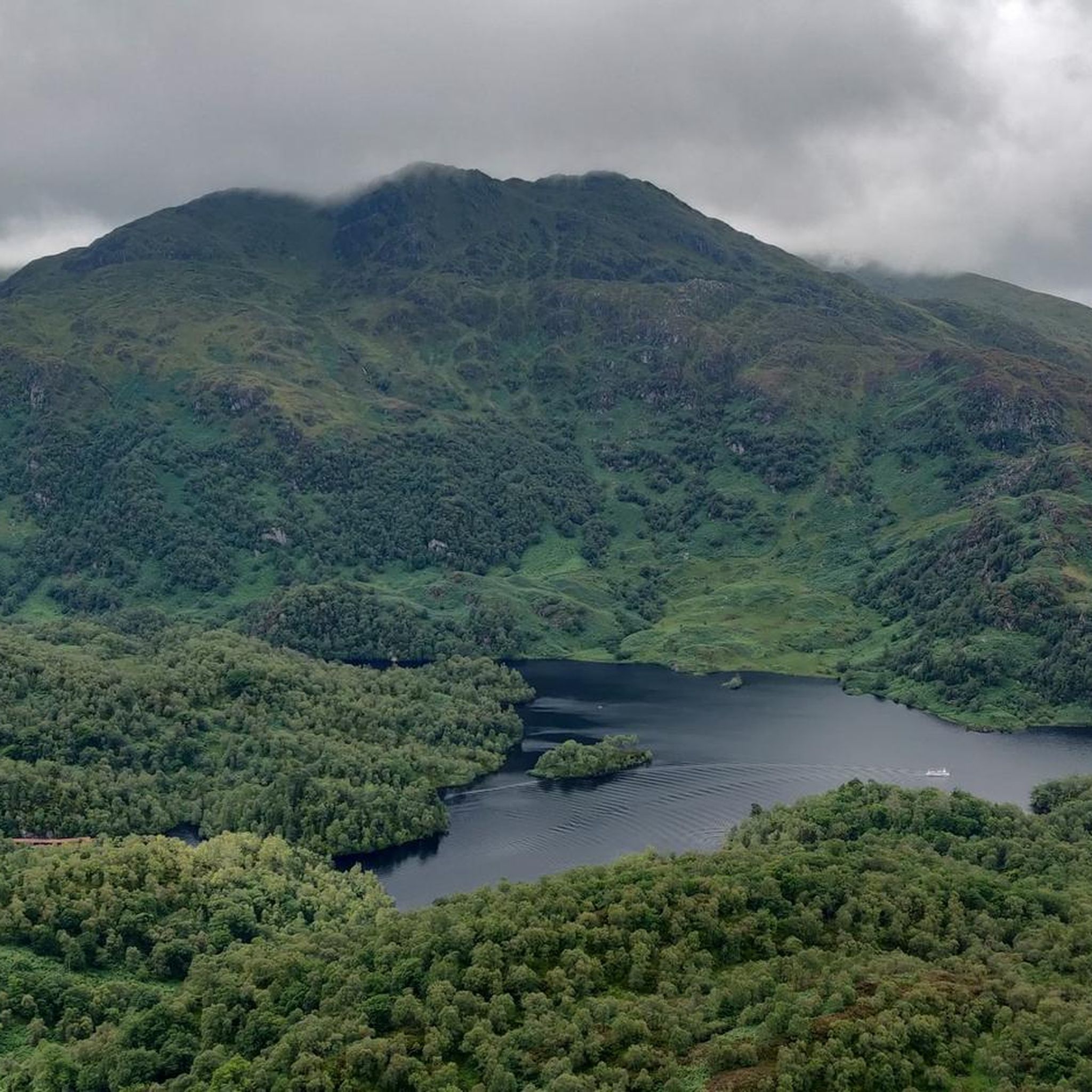
Jogging routes around Jackton And Thorntonhall traverse a diverse landscape characterized by rolling countryside, active farmland, and tranquil woodlands. The area features paths through wooded areas, including Cherry Woods, and alongside natural water features like the Gill Burn. This varied terrain provides a range of jogging experiences, from gentle paths to routes with moderate elevation changes. Many trails utilize a mix of paved surfaces, quiet single-track roads, and farm tracks.
Best jogging routes around Jackton And Thorntonhall
- The most popular jogging route is Waterfoot Bridge loop from Carmunnock, a 6.5 miles (10.5 km) trail that takes 1 hour 6 minutes to complete. This route features moderate elevation gain through the local countryside.
- Another top favourite among local runners is Flooded Ford Crossing – Eaglesham Ford loop from Waterfoot, a moderate 4.6 miles (7.5 km) path. This route offers varied terrain, including sections near the Eaglesham Ford.
- Local runners also love the Moot Hill of Dripps loop from Carmunnock, a 6.8 miles (10.9 km) trail leading through open farmland and wooded sections, often completed in about 1 hour 9 minutes.
- Jogging around Jackton And Thorntonhall is defined by rolling countryside, tranquil woodlands, and active farmland. The network offers options for different ability levels, from easy paths to more challenging routes.
- The routes in Jackton And Thorntonhall are highly rated by the komoot community with an average score of 4.3 stars from nearly 100 reviews. More than 11,000 runners have used komoot to explore Jackton And Thorntonhall's varied terrain.
Last updated: July 6, 2026
16
runners
10.5km
01:06
110m
110m
Moderate run. Good fitness required. Mostly paved surfaces. Suitable for all skill levels.
11
runners
7.46km
00:47
80m
80m
Moderate run. Good fitness required. Mostly paved surfaces. Suitable for all skill levels.

Sign up for free
11
runners
10.9km
01:09
100m
100m
Moderate run. Good fitness required. Mostly paved surfaces. Suitable for all skill levels.
9
runners
5.31km
00:33
50m
50m
Moderate run. Good fitness required. Mostly paved surfaces. Suitable for all skill levels.
5
runners
6.52km
00:41
60m
60m
Moderate run. Good fitness required. Mostly paved surfaces. Suitable for all skill levels.
Get access to more routes and recommendations from other explorers.
Sign up for free
Already have an account?
Our route recommendations are based on thousands of hikes, rides, and runs completed by other people on komoot.
Start today with a free account
Your next adventure awaits.
Login or Signup
Tips from the Community

Barriers were down today (Aug 2024), but the ford was still passable. That is, as long as you can get your bike past the barrier.
0
0


Frequently Asked Questions
How many running routes are available in Jackton and Thorntonhall?
There are 19 dedicated running routes around Jackton and Thorntonhall, offering a diverse range of experiences from easy paths to more challenging trails. The komoot community has explored these routes over 11,000 times.
Are there any easy jogging routes suitable for beginners or a relaxed run?
Yes, there are 3 easy jogging routes in the area. One excellent option is the Running loop from Newlands, which is 3.7 miles (6 km) long and features minimal elevation gain, making it perfect for a gentle run.
What kind of terrain can I expect on the running trails in Jackton and Thorntonhall?
The running trails offer a varied terrain, including rolling countryside, tranquil woodlands, and active farmland. You'll find a mix of paved surfaces, quiet single-track roads, and farm tracks, providing diverse backdrops for your run.
Are there any circular jogging routes in the area?
Many of the routes in Jackton and Thorntonhall are circular. For example, the Waterfoot Bridge loop from Carmunnock is a popular 6.5-mile (10.5 km) circular trail, and the Flooded Ford Crossing – Eaglesham Ford loop from Waterfoot is another well-regarded 4.6-mile (7.5 km) loop.
What do other runners enjoy most about the trails in Jackton and Thorntonhall?
The trails are highly rated by the komoot community, with an average score of 4.3 stars from nearly 100 reviews. Runners often praise the varied terrain, the picturesque blend of countryside and woodlands, and the accessibility of the routes.
Are there any challenging running trails for experienced runners?
Yes, while most routes are moderate, there is 1 difficult trail for those seeking a greater challenge. The area also features several moderate routes, such as the Moot Hill of Dripps loop from Carmunnock, which is 6.8 miles (10.9 km) with moderate elevation, offering a good workout.
Can I find running routes that pass by interesting landmarks or natural features?
Absolutely. The region offers routes that traverse areas like Cherry Woods and follow the Gill Burn. Additionally, a unique 4.6-mile loop from Thorntonhall passes through the grounds and surrounding countryside of the National Museum of Rural Life. You can also find routes near lakes such as Darnley Reservoir Pavilion or Boating Pond, Rouken Glen Park.
Are there any nearby country parks accessible from Jackton and Thorntonhall for more running options?
Yes, several country parks are conveniently located nearby. Rouken Glen Park is approximately 2.8 miles away, James Hamilton Heritage Park is about 2.2 miles distant, and Calderglen Country Park can be found around 4.1 miles from the area, all offering additional opportunities for outdoor activities and running.
How accessible are the running routes by public transport?
Jackton and Thorntonhall are well-connected. Thorntonhall has its own railway station, and Jackton is served by bus routes, making it convenient to reach many of the scenic running spots without a car.
Are there any long-distance running routes in the vicinity?
While many routes are moderate in length, you can find longer options. For instance, the Waterfoot Bridge loop from Carmunnock is 6.5 miles (10.5 km), and the Moot Hill of Dripps loop from Carmunnock is 6.8 miles (10.9 km), providing good distances for a longer run.
What types of landscapes will I encounter while running in this region?
You'll experience a beautiful mix of landscapes, including rolling countryside, active farmland, and tranquil woodlands. The area is characterized by picturesque views and natural features like Cherry Woods and the Gill Burn, providing a refreshing environment for your run.
Most popular routes around Jackton And Thorntonhall
Most popular attractions around Jackton And Thorntonhall

Get inspired with the komoot mobile app


Explore more
Browse the best Running Trails & Routes in other regions.
