The best walks and hikes in Granada
4.5
(11459)
54,656
hikers
1,884
hikes
Hiking in Granada offers access to a diverse range of landscapes, from the high alpine peaks of the Sierra Nevada to arid desert badlands and lush river gorges. The region is characterized by significant elevation changes, featuring Spain's highest mainland mountains, deep canyons like Monachil Gorge, and fertile valleys such as the Lecrín Valley. Natural parks like Sierra de Huétor and Sierra Elvira provide varied terrain, including forests, rocky outcrops, and panoramic viewpoints.
Best hiking trails in Granada
- The most popular hiking route is Los Cahorros de Monachil Loop, a 5.0 miles (8.0 km) trail that takes 2 hours 24 minutes to complete. This route navigates a narrow canyon with impressive hanging bridges and waterfalls.
- Another top favourite among local hikers is Las Cebadillas and Central Hidraúlica de Poqueira – circular from Capileira, a moderate 5.4 miles (8.7 km) path. This trail offers views of traditional white villages and the Poqueira river valley in the Alpujarra region.
- Local hikers also love the Gollizno Route Trail, a 5.9 miles (9.5 km) trail leading through river gorges and dramatic cliffs, often completed in about 3 hours 5 minutes.
- Hiking in Granada is defined by high mountain ranges, deep gorges, and arid deserts. The extensive network of trails offers options for various ability levels, from gentle valley walks to challenging alpine ascents.
- The routes in Granada are highly rated by the komoot community with an average score of 4.5 stars from over 10,000 reviews. More than 50,000 hikers have used komoot to explore Granada's varied terrain.
Last updated: July 3, 2026
4.8
(861)
2,794
hikers
8.03km
02:24
250m
250m
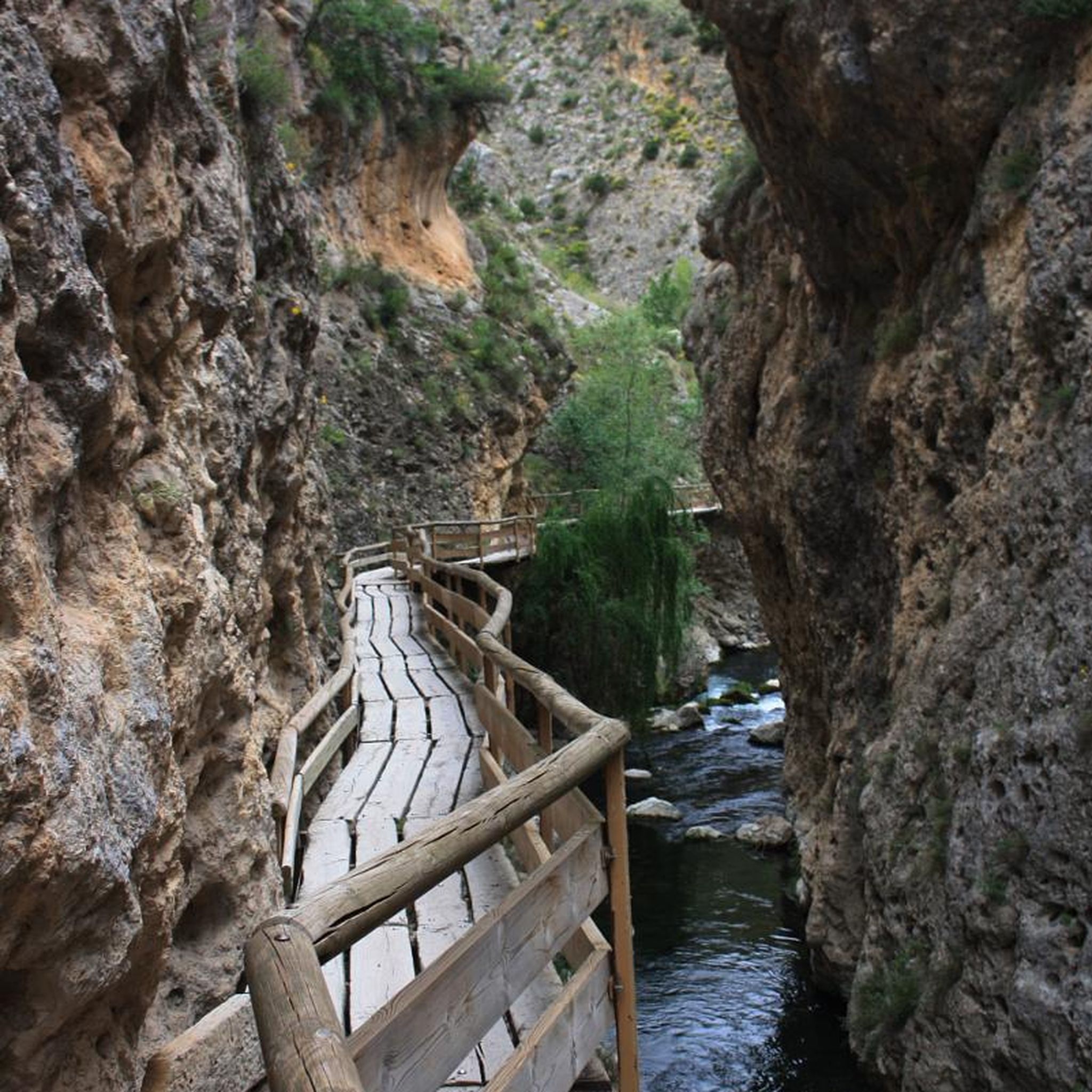
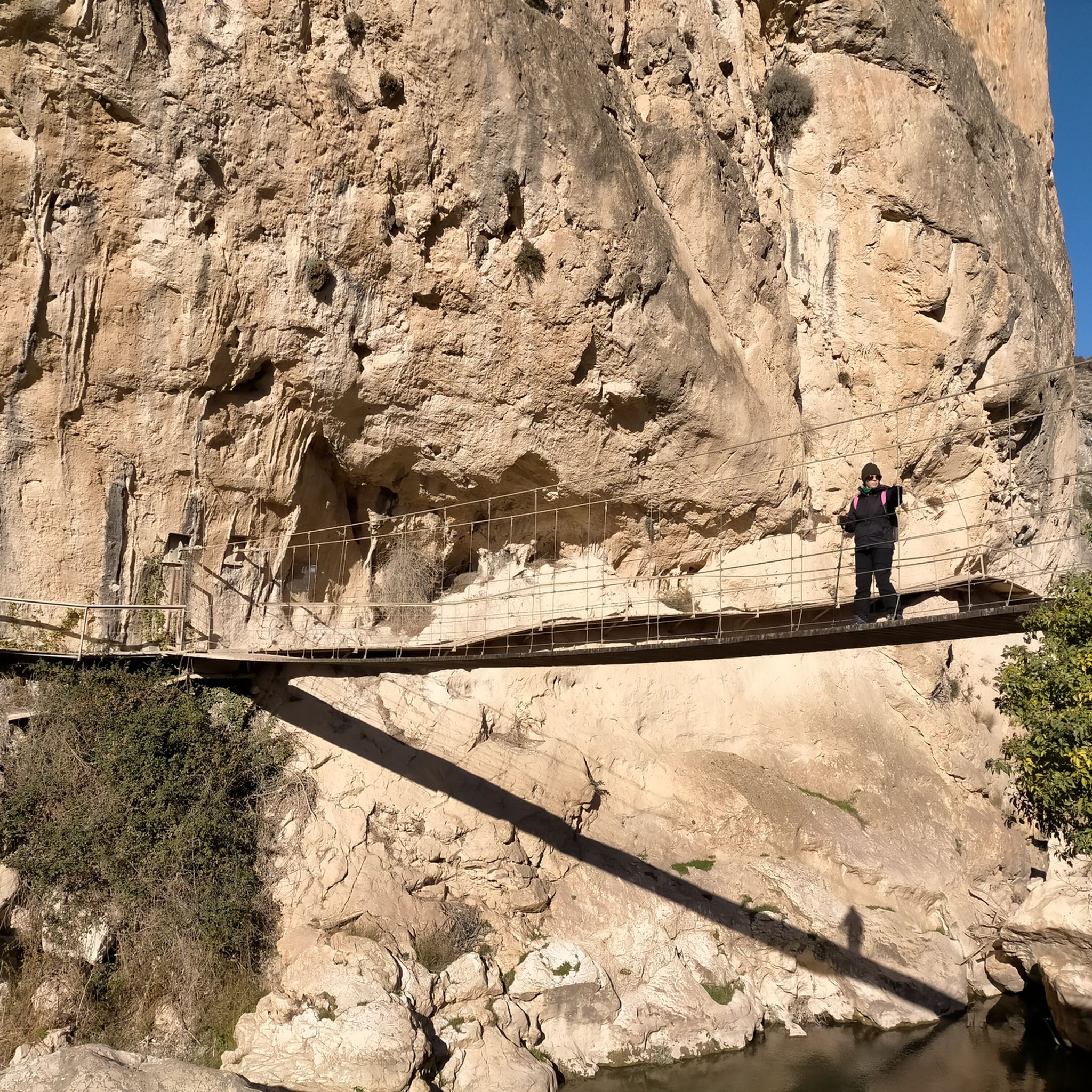
The Los Cahorros de Monachil loop trail is a gem near Granada that transports you to a world of adventure. The path leads you through a stunning gorge, following the Monachil River, where vegetation is lush and rock walls rise majestically. You can expect suspension bridges swaying over the water, narrow passages under overhanging rocks that will have you ducking, and even the chance to find pools for a refreshing dip. It's an immersive experience that combines the thrill of exploration with the natural beauty of Andalusia.
This 8.0-kilometer trail, with an elevation gain of 251 meters, can be completed in approximately 2 hours and 24 minutes and is classified as moderately difficult. It's ideal for families with children over eight years old and for those seeking an interactive hike. To get there, Monachil is about twenty minutes from Granada by car or bus. I recommend going early to secure parking and avoid crowds, especially on weekends or holidays. Don't forget to bring water, as the return leg can be sunny and exposed.
What truly sets Los Cahorros apart are its unique features, such as the suspension bridges and the passages under the rocks, which give it a touch of
4.7
(211)
780
hikers
The circular route of Las Cebadillas and Poqueira Hydroelectric Plant from Capileira plunges you into the heart of the Poqueira Gorge, a landscape of historic terraces and Pyrenean oak forests. Over its 8.7 kilometers, the trail takes you along a mix of paved paths, dirt tracks, and more mountainous sections, offering panoramic views of Mulhacén and Veleta to the north, and Sierra Lújar to the south. It's an experience that combines natural beauty with the region's history, passing through the evocative 'ghost village' of La Cebadilla.
This hiking route, classified as moderate, involves an elevation gain of 325 meters and is estimated to take approximately 2 hours and 47 minutes to complete. While accessible to most hikers, be prepared for a steep and rocky initial ascent, as well as another significant climb after crossing the Poqueira river. The starting point is Capileira, where you can find parking, and it's advisable to begin the hike in the morning to enjoy the best conditions.
The trail is a window into the rich history of the Alpujarra, passing by old farmhouses (cortijos) and threshing floors (eras) that bear witness to rural life of yesteryear. The Poqueira Hydroelectric Plant, still operational, is a reminder of local engineering, while the valley itself, with its Moorish-origin villages like Capileira, Bubión, and Pampaneira, is a Historic Site. This route is perfect for those seeking a cultural and natural immersion in the Sierra Nevada without straying too far from the comforts of a village.

Sign up for free
4.8
(125)
605
hikers
9.50km
03:04
410m
410m
The Ruta del Gollizno plunges you into a vibrant Andalusian landscape, where the Velillos River has carved the dramatic Tajos de la Hoz gorge. You'll walk between imposing rock walls, cross a suspension bridge, and venture into olive groves and pine forests, with the silhouette of Castillo de Moclín dominating the horizon. It's an experience that combines the adventure of boardwalks with the serenity of nature, perfect for disconnecting.
This moderately difficult hiking trail is 9.5 kilometers long with an elevation gain of 414 meters, taking approximately 3 hours and 4 minutes to complete. It's a well-marked circular route, though some sections have loose and rocky terrain, requiring good footwear. You can do it any time of year, but in summer it's advisable to start early to avoid the heat, and in winter or spring, the views of snow-capped Sierra Nevada are spectacular.
Beyond its natural beauty, the Ruta del Gollizno is a journey through time. Part of the trail follows the historic Camino Mozárabe de Santiago, and near Fuente Corcuela, you can discover Neolithic cave paintings. Furthermore, the imposing Castillo de Moclín, a Nazarí fortress, will remind you of the region's rich history, adding a cultural layer to your outdoor adventure.
4.8
(118)
540
hikers
7.20km
02:27
370m
360m
Moderate hike. Good fitness required. Easily-accessible paths. Suitable for all skill levels.
4.7
(118)
359
hikers
10.4km
02:55
220m
220m
The Dehesa del Generalife Periurban Park offers one of the most rewarding circular routes near Granada, combining the serenity of nature with a profound sense of history. Along its 6.4 miles (10.4 km), the trail leads you through varied terrain of dirt and forest paths, flanked by holm oaks and pines, while you enjoy spectacular views of the Alhambra and Sierra Nevada from viewpoints such as the Mirador de la Silla del Moro. It's a moderate hike that will take you approximately 2 hours and 55 minutes, with an elevation gain of 720 feet (220 meters), ideal for an active morning or afternoon.
To plan your visit, note that this route is accessible and does not require special permits. Spring and autumn months are perfect for enjoying pleasant temperatures and lush vegetation. Although parking is not specified, access from Granada is easy, and it's advisable to bring water and sun protection, especially on a sunny day. It's an excellent choice for those seeking hiking trails with a balance between effort and visual reward.
What truly sets this route apart is its rich historical heritage, with Nasrid vestiges like the Acequia Real de la Alhambra and the ruins of the Palacio de Dar Al-Arusa integrated into the natural landscape. The park, a protected area since 1995, is home to a great diversity of flora and fauna, offering an immersive experience where nature and archaeology intertwine. It's a unique opportunity to explore Granada's history beyond its walls, in a tranquil and charming setting.
4.6
(118)
345
hikers
Moderate hike. Good fitness required. Mostly accessible paths. Sure-footedness required.
4.7
(68)
269
hikers
12.6km
04:58
840m
840m
The Hoya de la Mora - Lagunillos de la Virgen Trail plunges you into the heart of Sierra Nevada's high mountains, offering an unforgettable hiking experience. Along its 12.6 kilometers, with an elevation gain of 838 meters, you'll encounter diverse terrain ranging from unpaved paths to rocky sections and alpine zones, including a challenging scree descent. Panoramic views of the Sierra Nevada peaks and the Vega de Granada are constant, and the serene Lagunillos de la Virgen, nestled beneath the Tajos de la Virgen, are a truly breathtaking sight. Prepare for a moderate hike that will take approximately 4 hours and 57 minutes, ideal for those seeking a challenge and spectacular landscapes.
To plan your visit, the starting point in Hoya de la Mora is easily accessible and offers parking, and in summer, you can reach it by bus from Granada. It is essential to carry sufficient water and appropriate gear, as high mountain weather can change drastically, with strong winds and sudden storms, especially in the afternoon. I recommend starting early to enjoy the morning tranquility and avoid adverse weather conditions.
This route is highly valued as a high-altitude training ground due to its elevation, which ranges between 2500 and over 2900 meters, and its varied sections. In addition to the natural beauty of the Lagunillos de la Virgen, the route passes by the historic Monumento a la Virgen de las Nieves, adding a cultural touch to your adventure. The area is also rich in endemic flora and fauna, further enriching the experience for nature lovers.
5.0
(61)
328
hikers
The circular route El Cerro de Trevenque y Chorreon del rio Dilar – circular desde Collado Sevilla immerses you in the diversity of Sierra Nevada, from rocky peaks to river valleys. The route takes you through rugged and varied terrain, with sections of loose gravel and rocky paths, culminating in the impressive summit of Trevenque, known as the local "King." From there, you'll enjoy 360-degree panoramic views before descending into the contrasting green of the Dílar river valley, where the sound of water accompanies you. It's an experience that connects you with the region's wildest nature.
This demanding 13.8-kilometer hiking route, with an elevation gain of 815 meters, will take you approximately 5 hours and 2 minutes. It begins at Collado Sevilla, where you'll find parking, but be aware that the terrain can be treacherous in winter, so it's best to plan your visit during milder seasons. A hiking pole is highly recommended for the steep sections and loose surfaces, and you can refill your water at a spring on the way back.
This circular route is one of the most popular hikes near Dílar, offering a complete experience of Sierra Nevada's ecosystems. The presence of the Dílar river and its waterfall adds a distinctive element, contrasting with the aridity of the peaks. It's a fantastic option for hikers with very good physical fitness and sure footing who are looking for a rewarding challenge and unforgettable views.
4.8
(25)
74
hikers
7.80km
02:30
320m
310m
Moderate hike. Good fitness required. Easily-accessible paths. Suitable for all skill levels.
4.9
(44)
304
hikers
The circular route Sierra Nevada National Park – circular to Vereda de la Estrella via Cuesta de los Presidiarios immerses you in a spectacular mountain landscape, combining the beauty of the Genil River valley with the imposing views of Sierra Nevada's highest peaks. Along its 22.2 kilometers, with an elevation gain of 810 meters, you'll encounter varied terrain, including the famous and steep Cuesta de los Presidiarios, a section that will test your endurance. This is a difficult hike that will take approximately 8 hours and 39 minutes, ideal for those seeking a physical and visual challenge.
To plan your visit, it's crucial to know that this route is demanding and not suitable for everyone. The best time to enjoy its colors and avoid snow in the higher areas is autumn, though you should always check weather conditions. Although there are unguarded shelters like Refugio de la Cucaracha, it's essential to carry enough water and food for the entire day. Prepare for a full-day adventure that requires good physical fitness.
This route is a classic of Sierra Nevada, known not only for its dramatic views of Mulhacén, Alcazaba, and Veleta, but also for its rich mining history. You'll traverse old paths built in the late 19th century to transport minerals, passing by the ruins of mines such as Estrella and Probadora. The combination of its industrial past and natural majesty makes it a treasure for hikers who appreciate history and challenges.
Get access to more routes and recommendations from other explorers.
Sign up for free
Already have an account?
Our route recommendations are based on thousands of hikes, rides, and runs completed by other people on komoot.
Start today with a free account
Your next adventure awaits.
Login or Signup
Popular around Granada
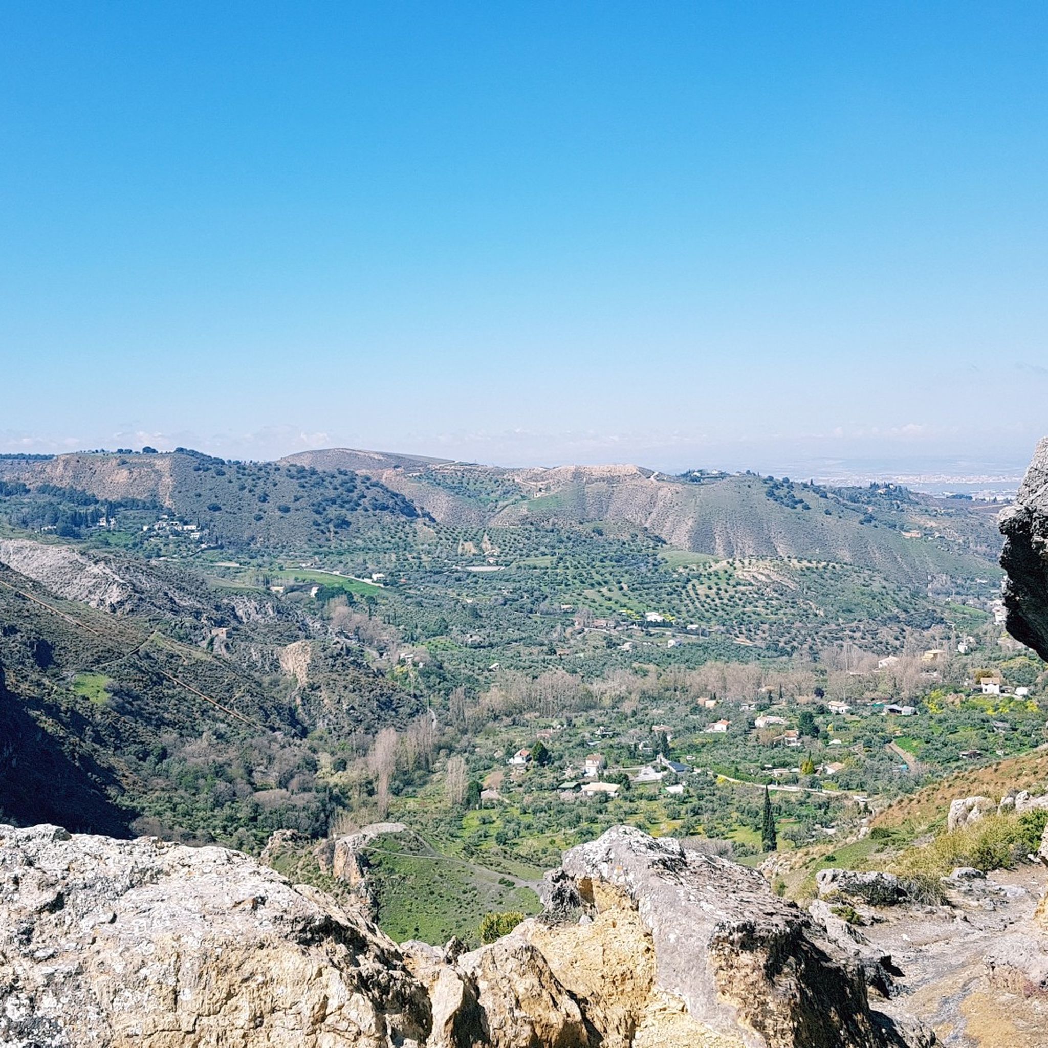
Hiking around Comarca de la Vega de Granada
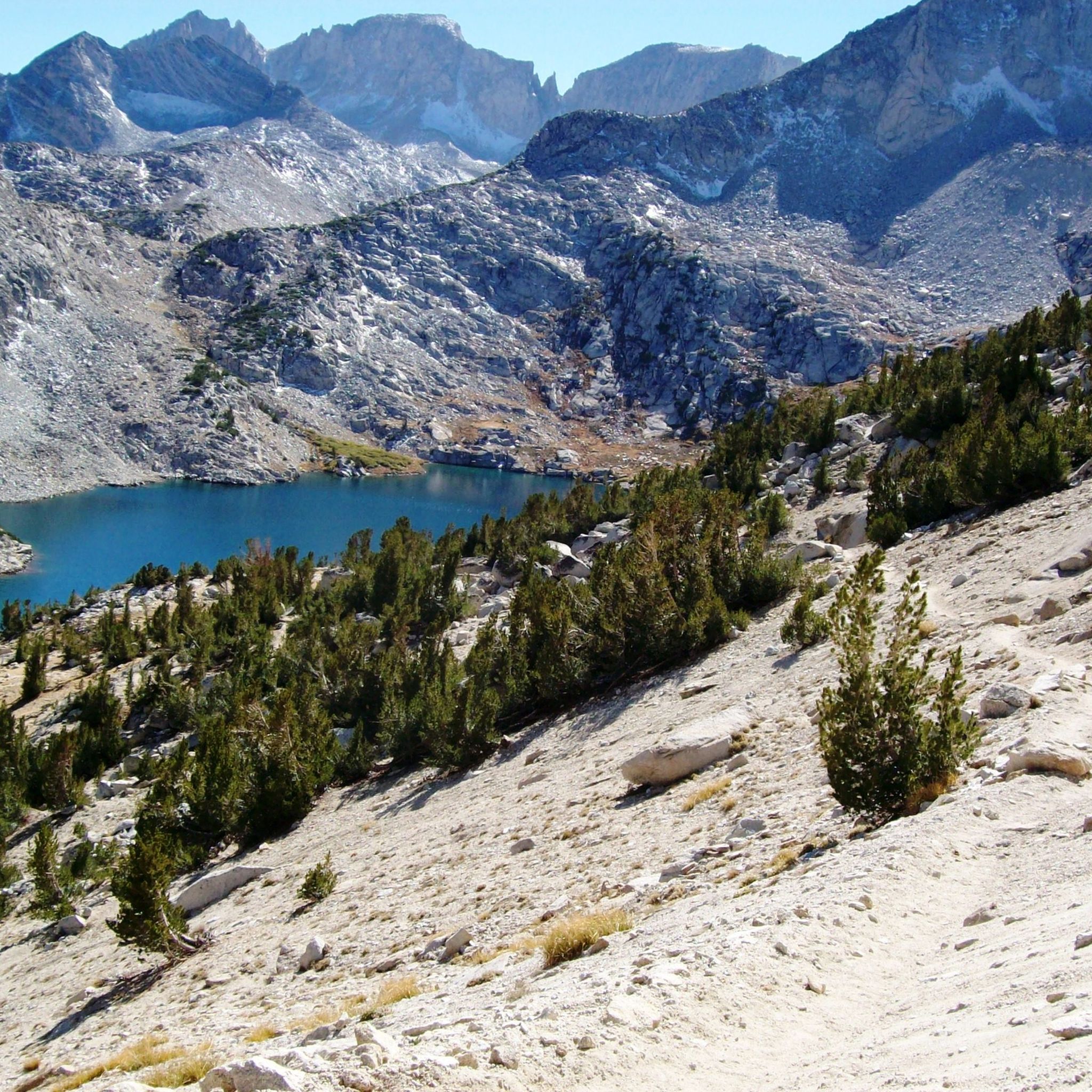
Hiking in Sierra Nevada
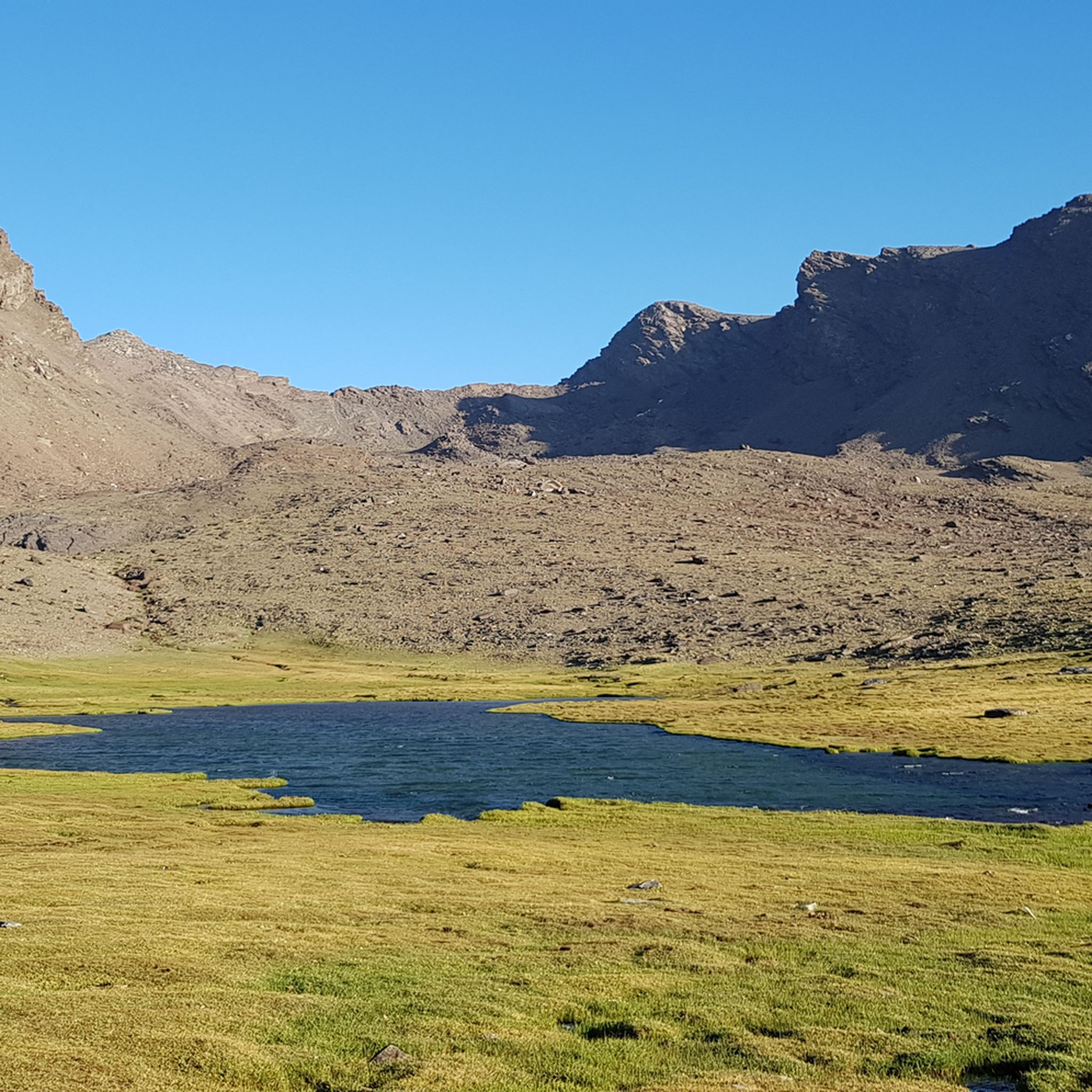
Hiking around Comarca de la Alpujarra Granadina
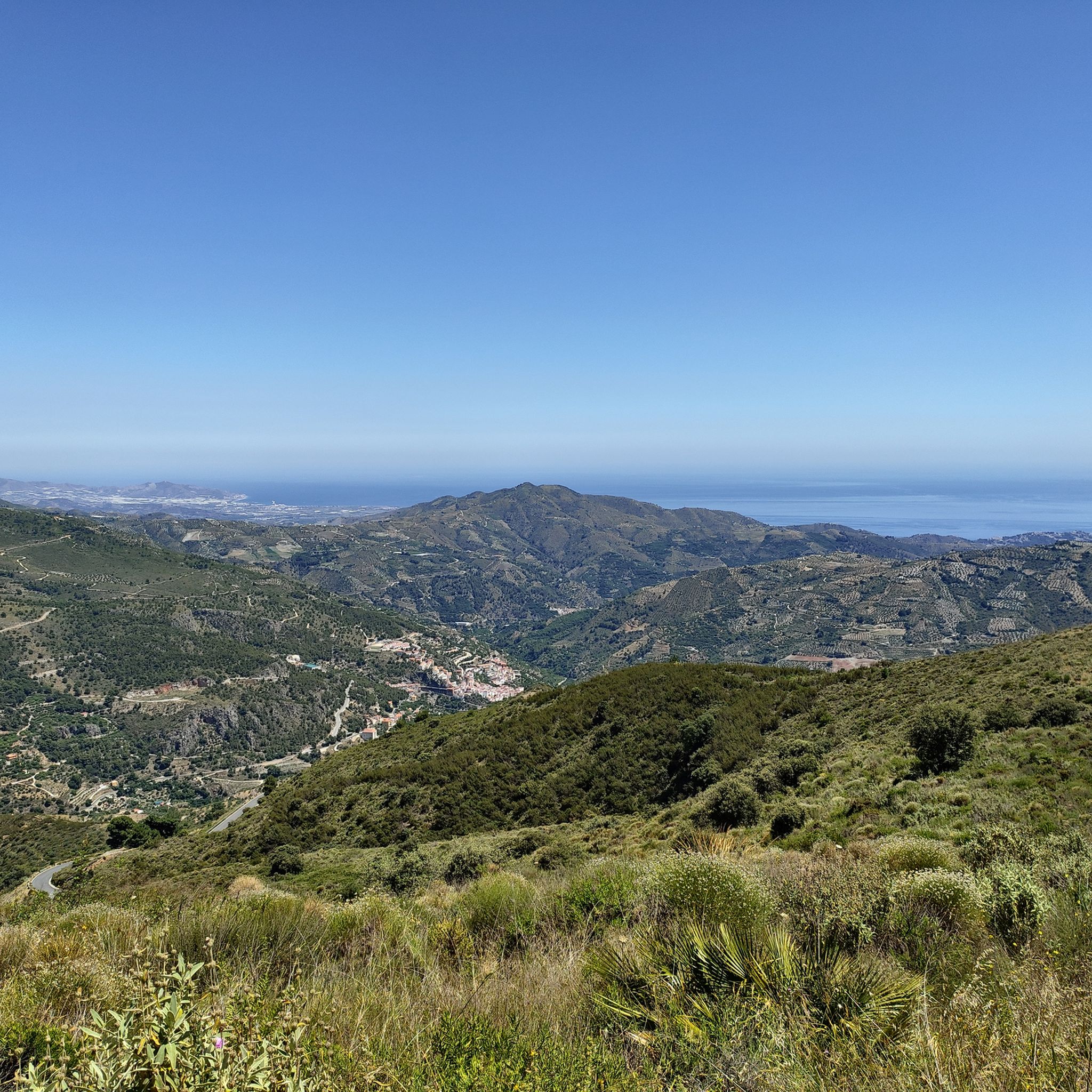
Hiking around Comarca de la Costa Granadina
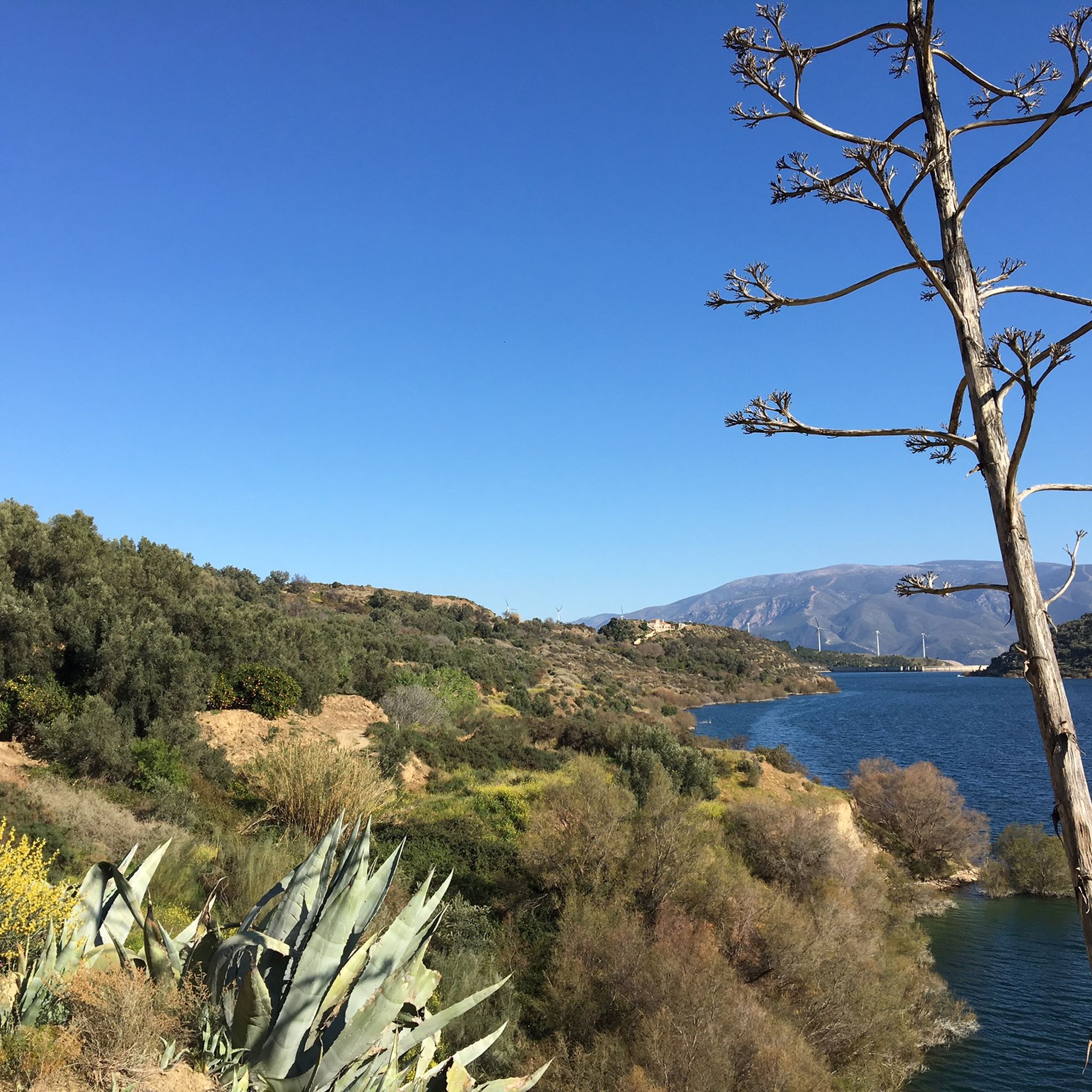
Hiking around Comarca del Valle de Lecrín
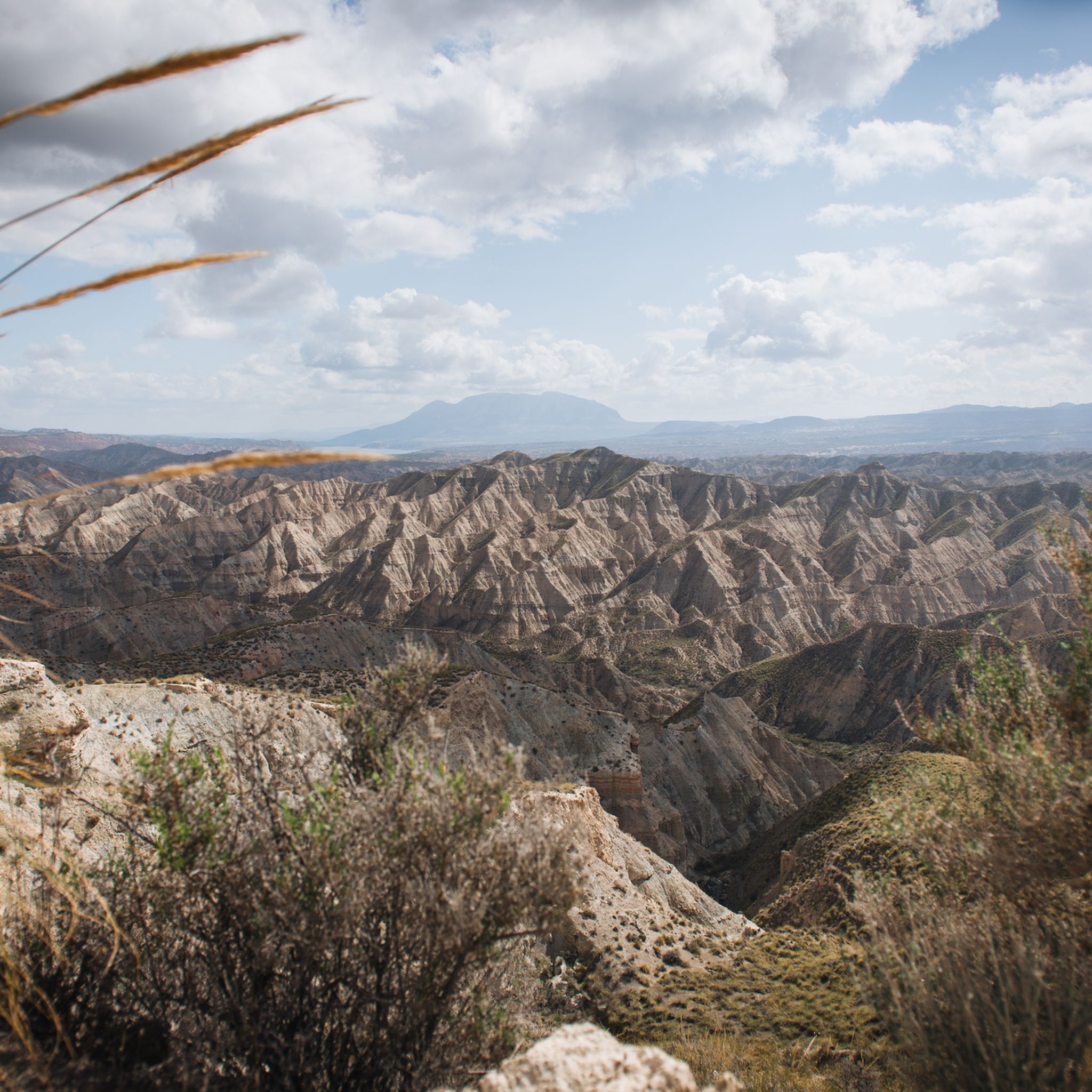
Hiking around Comarca de Guadix
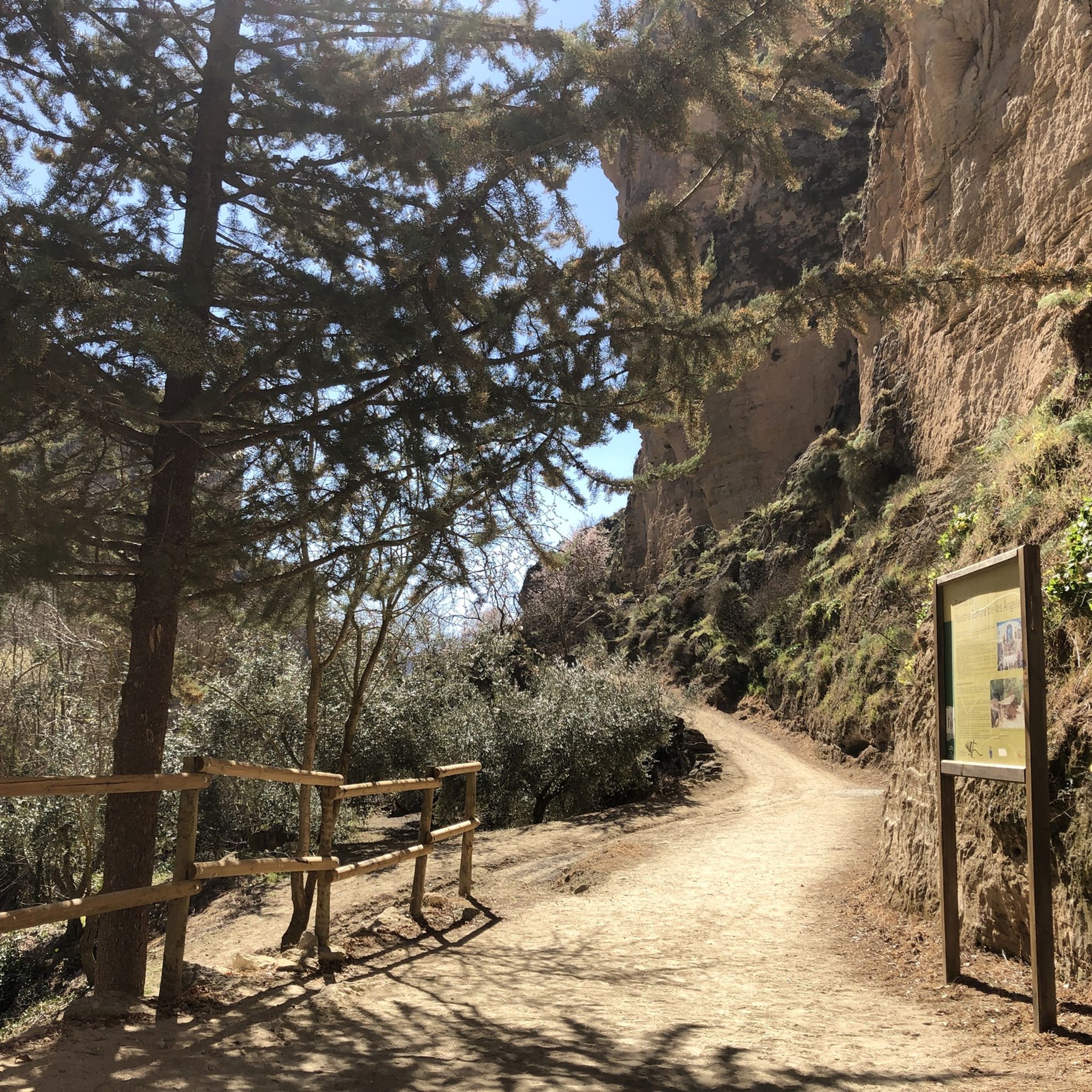
Hiking around Alhama
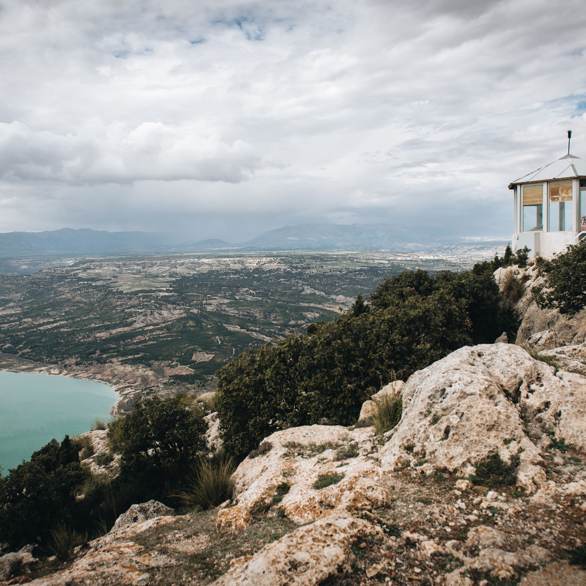
Hiking around Comarca de Baza
Hiking around Huescar
Hiking around Comarca de Loja
Other adventures in Granada


Tips from the Community

Komoot marks the route as for mountain biking, but the first part is practically impractical, and just before the final part too. If you don't want to spend several kilometers carrying the bike on trails of barely twenty cm with a drop-off next to it, you'd better save yourself the trip. Halfway through, it coincides with a track that is quite good, but to get there I had to spend more than an hour carrying the bike and riding on sections of no more than 50 meters.
0
0


What to see in Moclín Moclín Castle: A 14th-century Nasrid fortress with walls and cisterns. Impressive views of the Sierra Nevada mountains and the Granada plain. Gollizno Route (PR-A 84): A circular trail (8 km) with a suspension bridge, viewpoints, and the Velillos River canyon. Includes the La Luz Dam and the Malalmuerzo Cave. Historic Hermitages: San Antón (at the entrance to the village). Virgen de las Angustias (Our Lady of Sorrows), surrounded by nature.
1
0
Moclín is a charming destination, ideal for those who enjoy history, nature, and panoramic views. It's a typical Andalusian white village, peaceful and with cobbled streets that preserve its traditional essence. It stands out for its historical heritage (Nasrid castle, hermitages) and its natural surroundings, perfect for hiking.
1
0
It is located about 1.3 km from the town center, in a natural setting near the Fuente de la Buena Ventura spring. A small, whitewashed rural hermitage, simple in its architecture, both devotional and functional. Inside are two images: the Virgin of Sorrows and another known as Fraileopoldo. It forms part of the famous Gollizno Route (PR-A84), and is one of its recognized points of interest.
1
0

A very beautiful, expansive hiking and biking area. Also suitable for multi-day hikes with overnight stays (tent, bikepacking, etc.). Awesome views in every direction. Plenty of free parking available. A must-see for anyone in the area.
1
1

The sinter crusts of the lime-rich water make the tree trunks trapped in the waterfall appear petrified. Hence the common name "Cascada de los Arboles Petrificados" (Petrified Trees Cascade). However, these are not petrified trees, but mineral deposits in flowing water that cover both rocks and plants (sinter). Source: Wikiloc
0
0

Currently, a section of 800 meters is still heavily overgrown, with huge rosemary and sage bushes, as well as thorns. It's best to bring a stick or something similar to push them away. However, the view is unique, and the spring is a dream.
0
0
Frequently Asked Questions
How many hiking trails are available in Granada?
Granada offers a vast network of hiking trails, with over 1,800 routes recorded on komoot. These range from easy strolls to challenging alpine ascents, catering to all experience levels.
What is the best time of year for hiking in Granada?
The best time for hiking in Granada largely depends on the altitude and desired experience. Spring (April-June) and autumn (September-November) are generally ideal for most trails, offering pleasant temperatures and vibrant landscapes. Summer can be very hot, especially at lower elevations, making high-altitude routes in the Sierra Nevada more suitable. Winter offers opportunities for snowshoeing and winter mountaineering in the Sierra Nevada.
Are there family-friendly hiking options in Granada?
Yes, Granada has many family-friendly trails. For example, the Parque Periurbano Dehesa del Generalife offers gentle walks with views of the Alhambra. The lower sections of the Monachil Gorge, particularly around the hanging bridges, can also be enjoyed by families, though some parts require careful footing. The Lecrín Valley also provides numerous easy, scenic paths through charming villages and orange groves.
Can I hike with my dog in Granada?
Many trails in Granada are dog-friendly, especially in natural parks and rural areas. However, specific regulations may apply in protected zones like the Sierra Nevada National Park, where dogs might need to be on a leash. Always check local signage and be mindful of wildlife and livestock. Trails like those in the Sierra de Huétor Natural Park or the Lecrín Valley are generally good options for hiking with dogs.
Are there hikes in Granada with waterfalls or river features?
Absolutely. The Monachil Gorge, explored via the Los Cahorros de Monachil Loop, is famous for its impressive hanging bridges and waterfalls. Another excellent option is the Sendero del Río Verde en Otívar, known for its vibrant green waters, natural pools, and stunning cascades. The Ruta de Los Bolos in Dúrcal also features a gorge with waterholes and waterfalls.
What natural attractions can I explore while hiking in Granada?
Granada's hiking trails lead to diverse natural wonders. You can visit the dramatic Los Cahorros Gorge, Monachil, with its famous Hanging Bridge of Los Cahorros. In the Sierra Nevada, you can reach the majestic Mulhacén Summit or discover the serene Hondera Lagoon. The region also boasts unique desert landscapes in Gorafe and the lush Lecrín Valley.
Are there any historical or cultural landmarks accessible from hiking trails?
Yes, many trails offer a blend of nature and history. The Gollizno Route Trail near Moclín combines natural beauty with views of the medieval Moclín Castle. The Dehesa del Generalife trails provide stunning perspectives of the historic Alhambra. Additionally, segments of the ancient Camino Mozárabe pilgrimage route pass near Granada, offering cultural insights.
What do other hikers say about the trails in Granada?
The hiking trails in Granada are highly rated by the komoot community, with an average score of 4.5 stars from over 10,000 reviews. Hikers often praise the incredible diversity of landscapes, from high mountain peaks to lush river gorges, and the well-maintained paths that offer breathtaking views and unique natural features like the hanging bridges of Monachil.
Are there any circular hiking routes in Granada?
Yes, Granada offers numerous circular routes for convenient day hikes. Popular options include the Los Cahorros de Monachil Loop, which takes you through the famous gorge. Another is Las Cebadillas and Central Hidraúlica de Poqueira – circular from Capileira, offering views of the Alpujarra villages. The La Alpujarra circular between Pampaneira and Bubión is also a great choice for exploring the region's white villages.
How can I reach trailheads using public transport in Granada?
Public transport options are available for many popular trailheads. For example, buses frequently run from Granada city to Monachil, providing access to the Los Cahorros trails. For routes in the Sierra Nevada, specific bus services operate to areas like Pradollano, especially during peak seasons. It's advisable to check local bus schedules for specific destinations like Capileira or other Alpujarra villages, as services may vary seasonally.
Are there options for parking at popular trailheads?
Parking is generally available near popular trailheads, though it can be limited during peak times. For instance, there are parking areas in Monachil for the Los Cahorros trails. In the Sierra Nevada, designated parking zones exist, particularly in areas like Hoya de la Mora or near ski resorts. For more remote trails, roadside parking might be an option, but always ensure you are parking legally and safely.
What are some challenging hikes in Granada for experienced hikers?
For experienced hikers seeking a challenge, Granada's Sierra Nevada offers demanding routes. The Vereda de la Estrella, especially the longer circular versions, provides significant elevation gain and stunning alpine scenery. The Cerro de Trevenque y Chorreon del rio Dilar is another difficult route with substantial ascent and descent, offering panoramic views of the high peaks.
Most popular routes in Granada
Most popular attractions in Granada

Get inspired with the komoot mobile app


Didn’t find what you were looking for?
Check out more Hikes throughout Granada below and find the perfect route in your destination.
Explore more
Browse the best Hikes in other regions.
