The best walks and hikes around Burra And Trondra
4.4
(248)
1,381
hikers
49
hikes
Hiking around Burra And Trondra, part of the Shetland Islands, offers a diverse landscape characterized by rugged coastlines, sandy beaches, and rolling hills. The region consists of several islands connected by bridges, providing varied coastal paths and sea views. Terrain often includes grassy tracks, some rocky sections, and exposed coastal stretches.
Best hiking trails around Burra And Trondra
- The most popular hiking route is St Ninian's Isle circular — Shetland Isles, a 3.7 miles (6.0 km) trail that takes 1 hour 36 minutes to complete. This circular route features a famous sandy tombolo connecting the island to the mainland.
- Another top favourite among local hikers is Banna Minn beach and Kettla Ness, West Burra - Shetland Islands, a moderate 5.0 miles (8.0 km) path. This trail explores a scenic beach and dramatic coastal cliffs on West Burra.
- Local hikers also love the Meal Beach and Hamnavoe Circular, a 2.8 miles (4.5 km) trail leading through coastal scenery and a charming village, often completed in about 1 hour 10 minutes.
- Hiking around Burra And Trondra is defined by coastal paths, sandy beaches, and panoramic island views. The network offers options for different ability levels, including many easy routes and some moderate trails.
- The routes in Burra And Trondra are highly rated by the komoot community with an average score of 4.4 stars from over 240 reviews. More than 1,300 hikers have used komoot to explore Burra And Trondra's varied terrain.
Last updated: May 27, 2026
4.8
(22)
162
hikers
5.93km
01:36
80m
80m
Easy hike. Great for any fitness level. Easily-accessible paths. Suitable for all skill levels.
4.8
(9)
63
hikers
7.97km
02:06
70m
70m
Moderate hike. Good fitness required. Easily-accessible paths. Suitable for all skill levels.

Sign up for free
4.9
(8)
40
hikers
4.48km
01:11
40m
30m
Easy hike. Great for any fitness level. Easily-accessible paths. Suitable for all skill levels.
2
hikers
4.30km
01:11
70m
70m
Easy hike. Great for any fitness level. Easily-accessible paths. Suitable for all skill levels.
5.0
(2)
34
hikers
Easy hike. Great for any fitness level. Easily-accessible paths. Suitable for all skill levels.
Get access to more routes and recommendations from other explorers.
Sign up for free
Already have an account?
Our route recommendations are based on thousands of hikes, rides, and runs completed by other people on komoot.
Start today with a free account
Your next adventure awaits.
Login or Signup
Popular around Burra And Trondra
Tips from the Community

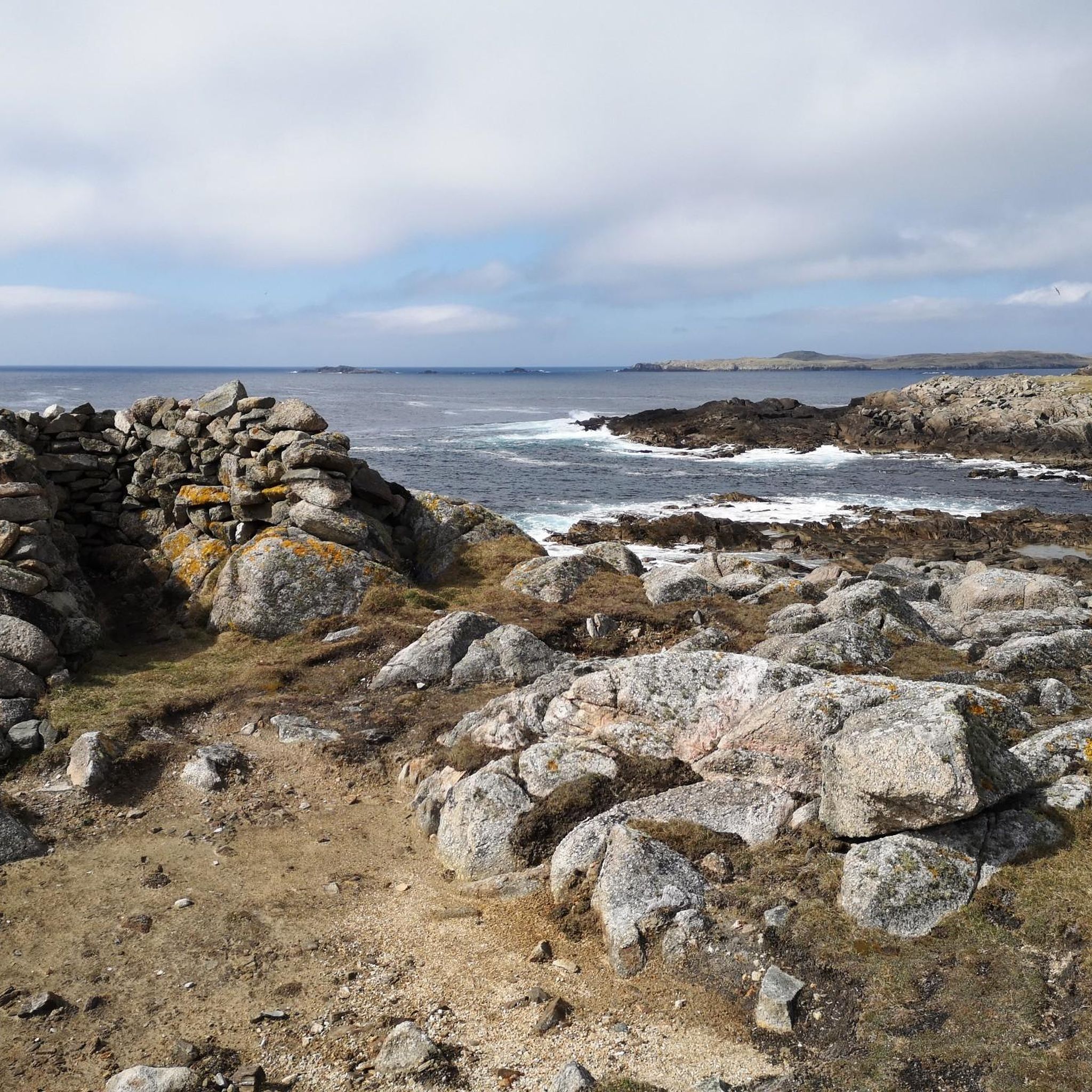
This is where you pass when you go around Ninian's Isle
0
1
Nice short walk around the island, great beach
0
0
Great sandy beach that invites you to take a cool swim
0
0
Nice place with great shop and beautiful houses
0
0

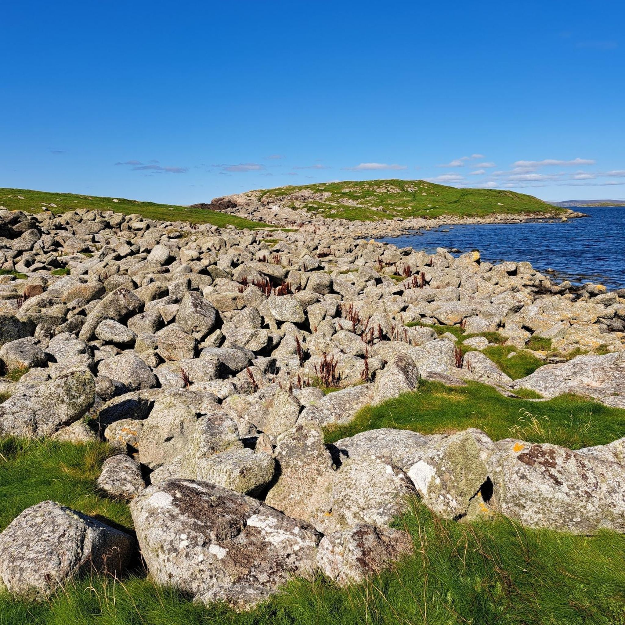
Banna Minn is one of Shetland's most beautiful beaches, set along the west side of a stunning tombolo leading out to the Kettla Ness peninsula, the southernmost part of West Burra. The peninsula beyond the beach gives enjoyable walking above a wild coastline.
0
0
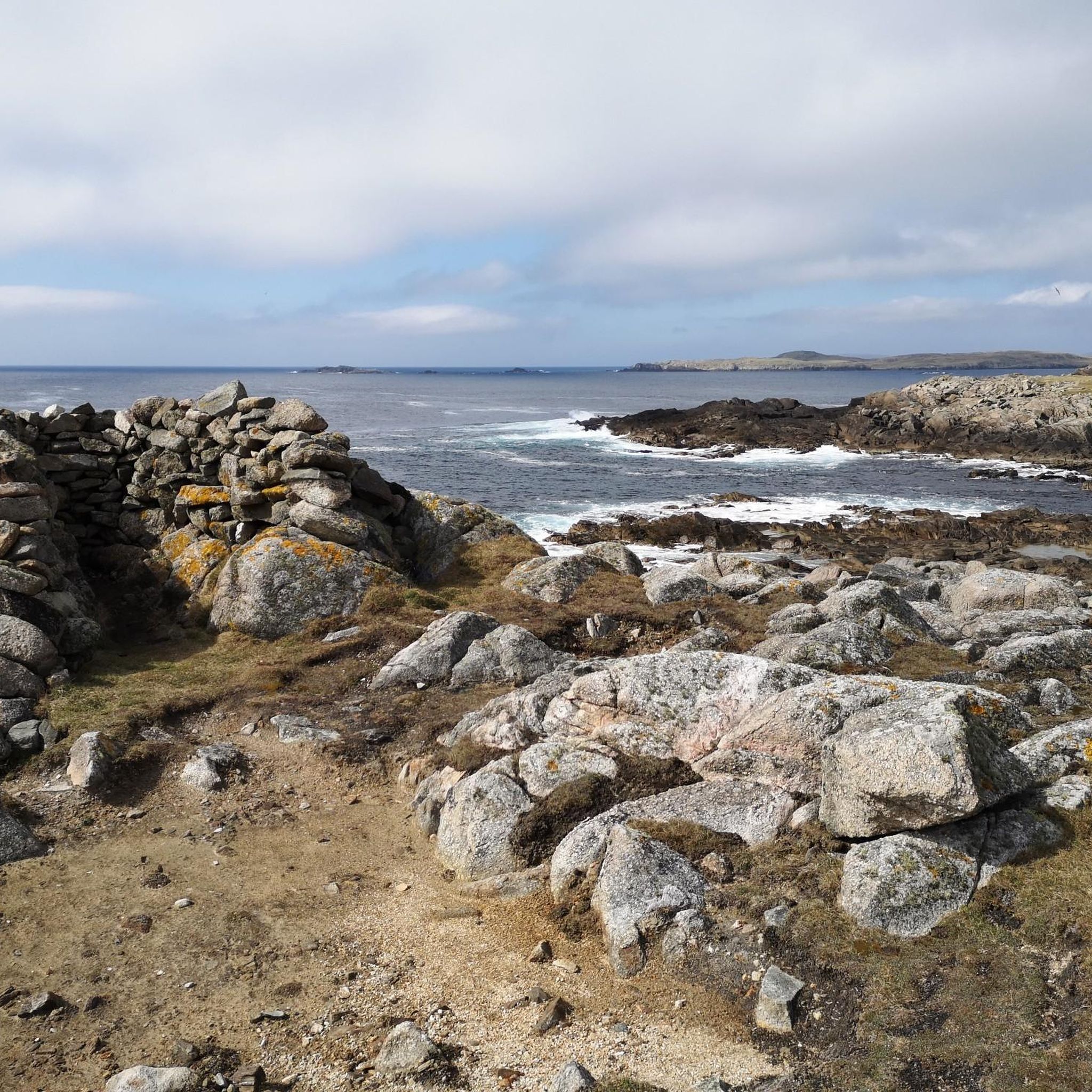
Kettla Ness is found at the south of West Burra and accessed by Minn Beach. The headland itself is conspicuous and circa 160 feet high. This area is uninhabited and is principally used for Sheep farming and pasture. On the south side of Kettla Ness is a stream flowing from the Outra Loch. Along the stream there are numerous examples of ruined historic horizontal watermills that extend down to Groot Ness on the south coast.
0
0

Neat little gardens can be found along the road.
0
0
Frequently Asked Questions
How many hiking trails are available in Burra And Trondra?
Burra And Trondra offers a good selection of hiking opportunities, with over 45 routes available. These range from easy strolls to more moderate coastal paths, ensuring options for various fitness levels.
What kind of terrain can I expect on hikes in Burra And Trondra?
The terrain in Burra And Trondra is diverse, featuring rugged coastlines, sandy beaches, and rolling hills. You'll encounter grassy tracks, some rocky sections, and exposed coastal stretches, often with panoramic sea views.
Are there easy hikes suitable for beginners or families in Burra And Trondra?
Yes, Burra And Trondra is well-suited for beginners and families, with 36 out of 49 routes classified as easy. An excellent option is the Meal Beach and Hamnavoe Circular, which is 2.8 miles (4.5 km) and takes about 1 hour 10 minutes, offering coastal scenery and a charming village.
What do other hikers say about the trails in Burra And Trondra?
The trails in Burra And Trondra are highly regarded by the komoot community, holding an average rating of 4.4 stars from over 240 reviews. Hikers often praise the stunning coastal views, the unique tombolo at St Ninian's Isle, and the variety of paths available.
Are there any circular walks in Burra And Trondra?
Yes, there are several circular walks available. A popular choice is the St Ninian's Isle circular — Shetland Isles, which is 3.7 miles (6.0 km) and features a famous sandy tombolo connecting the island to the mainland.
Can I bring my dog on the hiking routes in Burra And Trondra?
Many trails in Burra And Trondra are dog-friendly, but it's always recommended to keep dogs on a lead, especially near livestock or nesting birds, as much of the area is open countryside. Please also ensure you clean up after your pet.
What are some notable landmarks or attractions to see while hiking?
While hiking, you can explore several interesting landmarks. Consider visiting the St Ninian's Chapel Ruins, or the historic Fort Charlotte. The area also features beautiful natural highlights like Kettla Ness and Croo Loch.
Are there any hikes that offer great viewpoints?
Many coastal hikes in Burra And Trondra provide excellent viewpoints. The Banna Minn beach and Kettla Ness, West Burra - Shetland Islands route, for instance, explores dramatic coastal cliffs offering expansive sea views.
What is the best time of year to hike in Burra And Trondra?
The best time to hike in Burra And Trondra is generally from late spring to early autumn (May to September) when the weather is milder, and daylight hours are longer. This period also offers the best chances for wildlife spotting and enjoying the vibrant flora.
Are there any longer distance walks available?
While many routes are shorter, some trails can be combined or extended. For a moderate distance, consider the Stone Wall and Coastal View – Lerwick Community Gardens loop from Scalloway, which is around 4.3 miles (6.9 km) and takes approximately 1 hour 50 minutes.
Where can I find parking for the hiking trails?
Parking is generally available at trailheads or near popular starting points for hikes, especially in villages like Hamnavoe or near attractions. Specific parking information is often detailed on individual komoot tour pages.
What should I wear for hiking in Burra And Trondra?
Given the exposed coastal nature of many trails, it's advisable to wear layers, including waterproof and windproof outer shells, even in summer. Sturdy, waterproof hiking boots are recommended due to potentially wet or rocky sections. Sun protection is also important.
Most popular routes around Burra And Trondra
Most popular attractions around Burra And Trondra

Get inspired with the komoot mobile app


Explore more
Browse the best Hikes in other regions.
