The best walks and hikes around Bressay
4.5
(212)
1,074
hikers
40
hikes
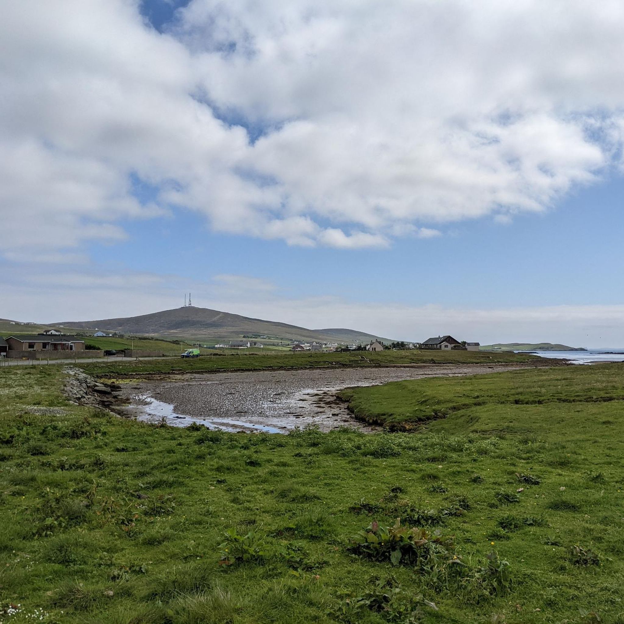
Hiking around Bressay, an island in the Shetland archipelago, features a diverse landscape of minor roads, tracks, and pathless moorland. The terrain includes peat hills, croft land, beaches, and dramatic coastal cliffs. The island's summit, the Ward of Bressay, offers panoramic views, while the coastline is marked by impressive sandstone cliffs and natural arches.
Best hiking trails around Bressay
- The most popular hiking route is Bressay and Noss loop, a 10.5 miles (16.9 km) trail that takes about 4…
Last updated: May 12, 2026
4.6
(41)
170
hikers
7.47km
01:55
30m
30m
Easy hike. Great for any fitness level. Easily-accessible paths. Suitable for all skill levels.
16.9km
04:49
340m
330m
Moderate hike. Good fitness required. Easily-accessible paths. Suitable for all skill levels.

Sign up for free
4.7
(59)
216
hikers
14.6km
04:00
100m
100m
Moderate hike. Good fitness required. Mostly accessible paths. Sure-footedness required.
4.6
(12)
46
hikers
9.16km
02:30
60m
60m
Moderate hike. Good fitness required. Mostly accessible paths. Sure-footedness required.
4.7
(6)
29
hikers
9.94km
02:42
140m
140m
Moderate hike. Good fitness required. Easily-accessible paths. Suitable for all skill levels.
Get access to more routes and recommendations from other explorers.
Sign up for free
Already have an account?
Our route recommendations are based on thousands of hikes, rides, and runs completed by other people on komoot.
Start today with a free account
Your next adventure awaits.
Login or Signup
Popular around Bressay
Tips from the Community


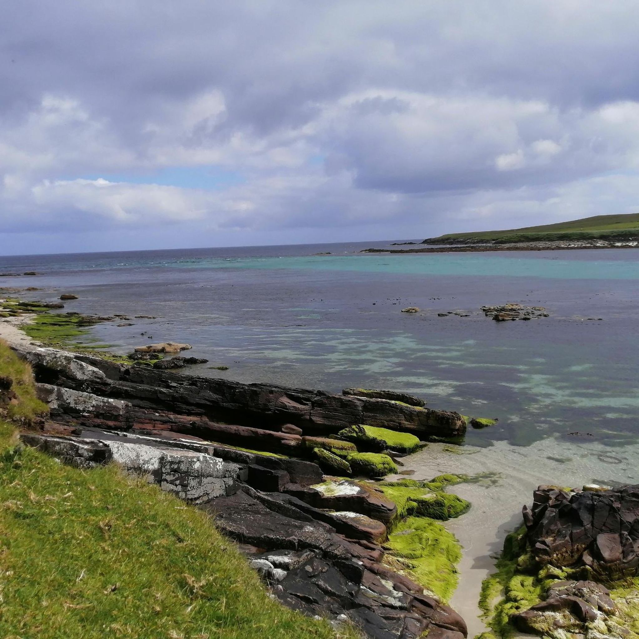
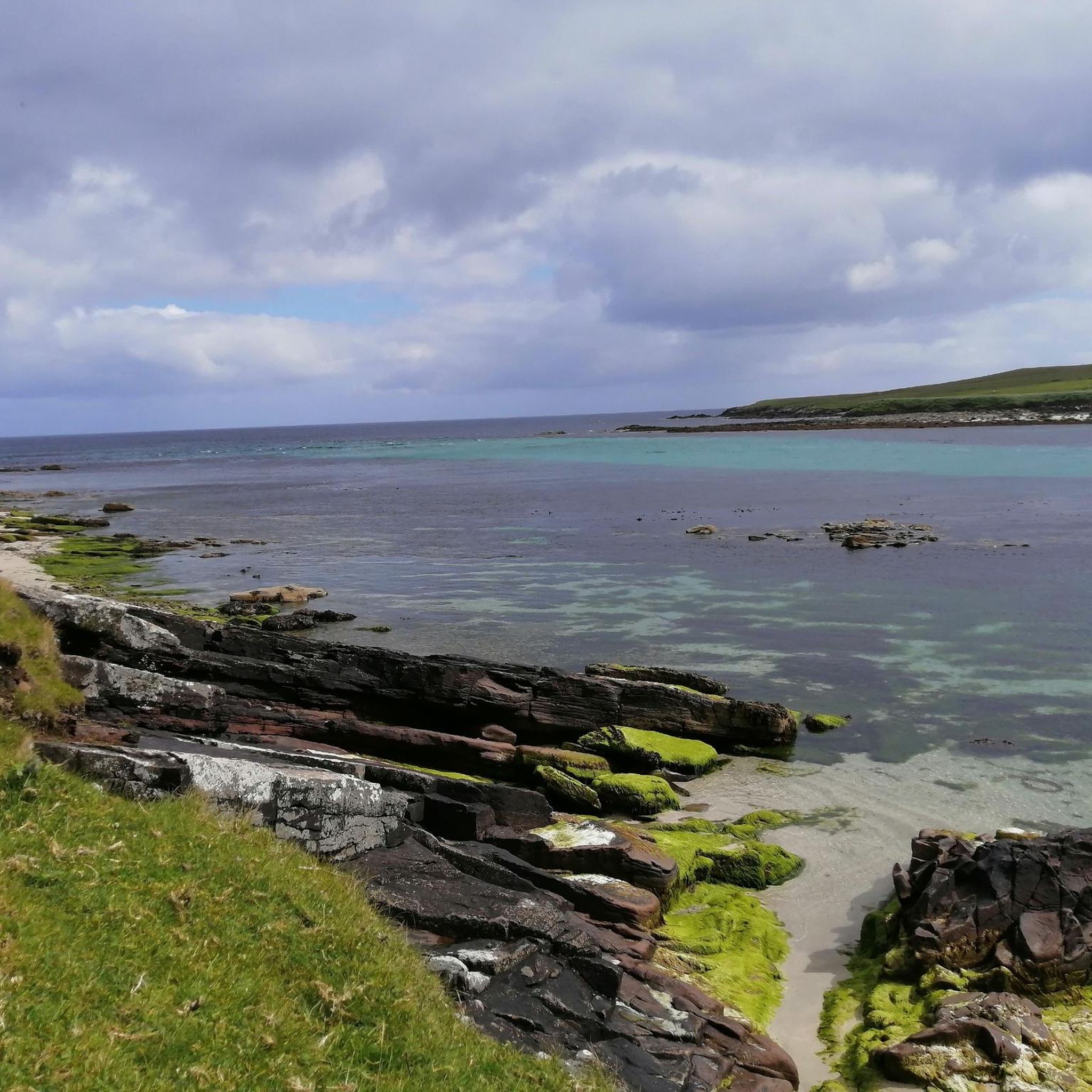
Bain's Beach, a small beach accessible only at low tide, is hidden among the mudberries of Lerwick's Old Town. What you see as sand may contain centuries of sea glass and pottery: shipwrecks or crockery thrown into the water to disappear. History and mystery at every turn.
0
0

Frequently Asked Questions
How many hiking trails are available in Bressay?
Bressay offers a diverse range of hiking experiences with over 40 routes documented on komoot. These include everything from easy strolls to more challenging expeditions across its varied terrain.
What kind of terrain can I expect on Bressay's hiking trails?
Bressay's landscape is quite varied, featuring a mix of minor roads, tracks, and pathless moorland. You'll encounter peat hills, croft land, beaches, and dramatic coastal cliffs. The island also has eleven lochs and extensive moorland, providing a rich and diverse hiking environment.
Are there any family-friendly hiking options in Bressay?
Yes, Bressay has many options suitable for families. Out of the 40 available routes, 25 are rated as easy, making them ideal for a leisurely walk with children. These trails often feature accessible paths and offer opportunities to explore the island's natural beauty without strenuous climbs.
What are some notable natural features or landmarks to look out for while hiking in Bressay?
Bressay is rich in natural and historical landmarks. You can explore the dramatic sandstone cliffs, sea caves, and natural arches, such as the spectacular arch below the Bressay Lighthouse or the 'Giant's Leg' sea arch on the southern coast. The island's summit, the Ward of Bressay, offers superb panoramic views. Historically, you might encounter World War I gun emplacements at Aith Ness and The Bard, or ancient settlements like Cullingsburgh with its Iron Age broch. For more details on specific points of interest, you can check out highlights like Fort Charlotte or Clickimin Broch.
Can I bring my dog on the hiking trails in Bressay?
While many trails in Bressay are suitable for dogs, it's important to be mindful of the island's diverse wildlife and croft land. Always keep dogs under control, especially near livestock and ground-nesting birds. Some areas, particularly those bordering the Noss National Nature Reserve, may have specific restrictions or require dogs to be on a lead to protect sensitive habitats.
What kind of wildlife can I expect to see while hiking in Bressay?
Bressay and its surrounding waters are home to abundant wildlife. Along the coast, you might spot seals and numerous seabirds. The extensive moorland and lochs provide habitats for various birds, including waders and whooper swans. The adjacent Noss National Nature Reserve is particularly famous for its dramatic cliffs, which host thousands of breeding seabirds like gannets, kittiwakes, shags, fulmars, and puffins.
Are there any circular hiking routes in Bressay?
Yes, Bressay offers several rewarding circular walks. A popular option is the circular walk to the Ward of Bressay, which provides stunning panoramic views. Another notable route is the Bressay and Noss loop, which connects Bressay with the adjacent Noss National Nature Reserve, offering a comprehensive experience of the area's natural beauty.
What do other hikers say about the trails in Bressay?
The hiking routes in Bressay are highly regarded by the komoot community, with an average rating of 4.5 stars from over 200 reviews. Hikers often praise the stunning coastal scenery, the peaceful and tranquil atmosphere, and the opportunities for wildlife observation. Many appreciate the variety of trails, from easy coastal paths to more challenging moorland expeditions.
How can I get to Bressay and access the hiking trails?
Bressay is easily accessible by a short ferry ride from Lerwick, the main town in the Shetland Islands. Once on the island, many trails are accessible from the ferry terminal area or via minor roads. For specific routes, details on parking and public transport access points are often included in the route descriptions on komoot. For ferry schedules, it's best to check the local Shetland Islands Council transport information.
Are there any historical sites to explore on Bressay's hiking trails?
Absolutely. Bressay's hiking trails often lead through areas rich in history. You can find World War I gun emplacements at Aith Ness and The Bard, as well as the remains of ancient settlements like Cullingsburgh, which features an Iron Age broch and the 12th-century St Mary's Church. Other historical points of interest include abandoned crofting villages like Wadbister and the Anderhill tower, a 1906 naval lookout. For more information on specific historical locations, you can refer to resources like The Bard, Bressay or Aith Ness, Bressay.
What is the best time of year to hike in Bressay?
The best time to hike in Bressay is generally during the spring and summer months (May to August) when the weather is milder, daylight hours are long, and the island's flora and fauna are most vibrant. This period is ideal for seabird watching, especially on Noss. However, Bressay offers a unique experience in all seasons, with autumn and winter providing dramatic landscapes for those prepared for cooler, potentially windier conditions.
Most popular routes around Bressay
Most popular attractions around Bressay

Get inspired with the komoot mobile app


Explore more
Browse the best Hikes in other regions.
